

Los Glaciares National Park: landscape and origins
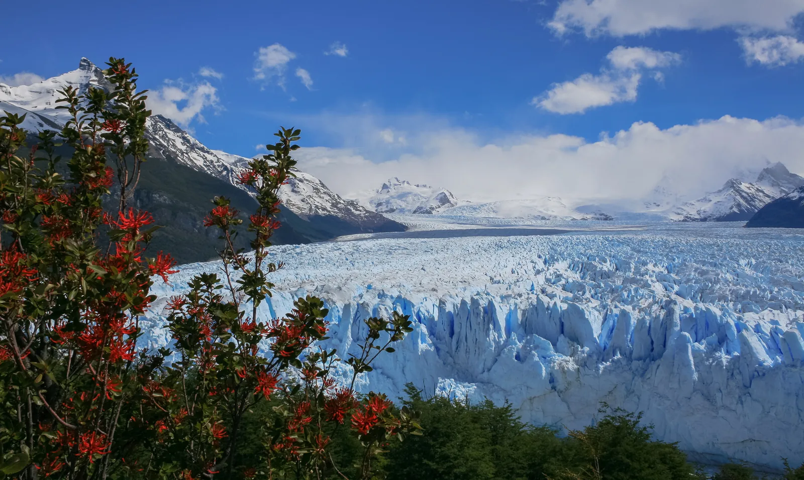
Los Glaciares protects part of the Southern Patagonian Ice Field – after Antarctica and Greenland, according to the park authority, the largest freshwater reserve on Earth.
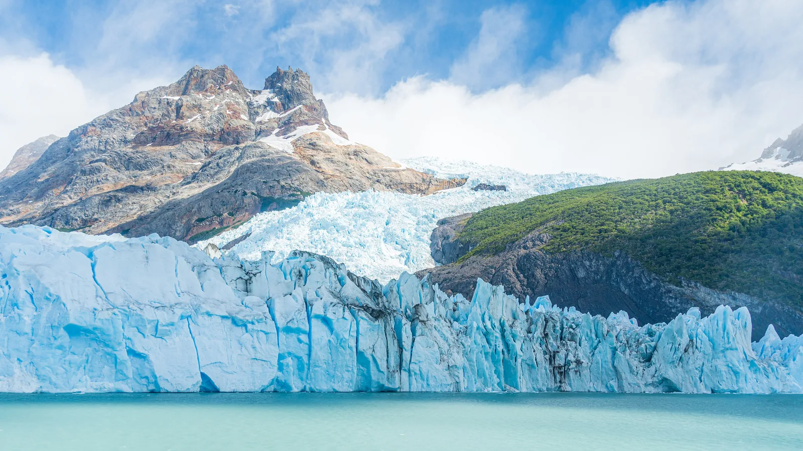
Argentina and Chile share the Southern Patagonian Ice Field; according to the park authority it is 370 km (230 mi) long and on average 35 km (22 mi) wide. 48 major and more than 100 smaller glaciers drain from it, many of them into the park.
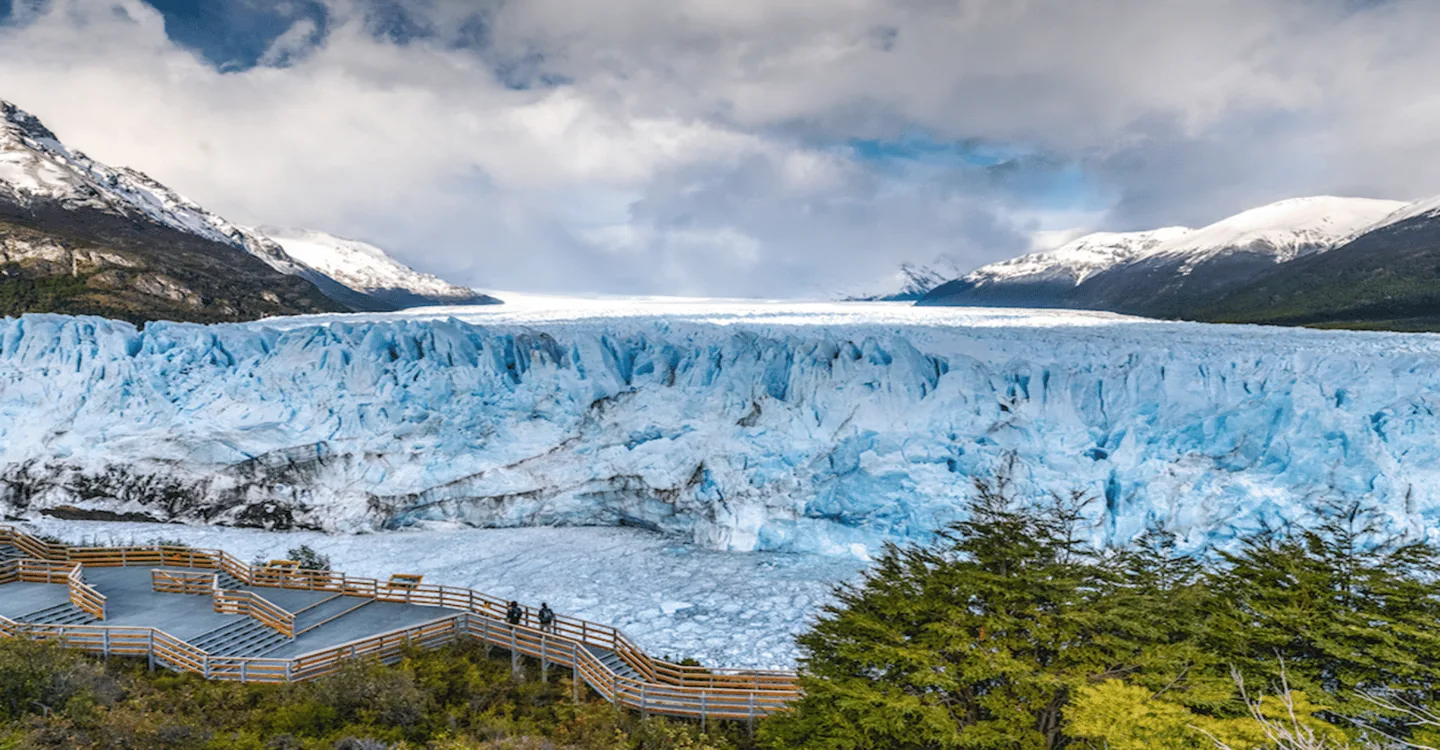
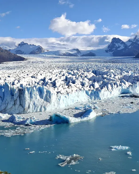
Lago Argentino and the Perito Moreno front lie only 177 m (581 ft) above sea level. According to UNESCO the lake is 160 km (99 mi) long; at its far end three glaciers meet and calve icebergs into milky grey water.
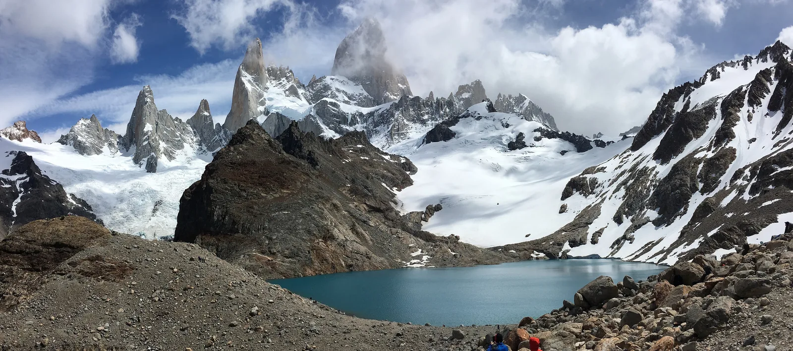
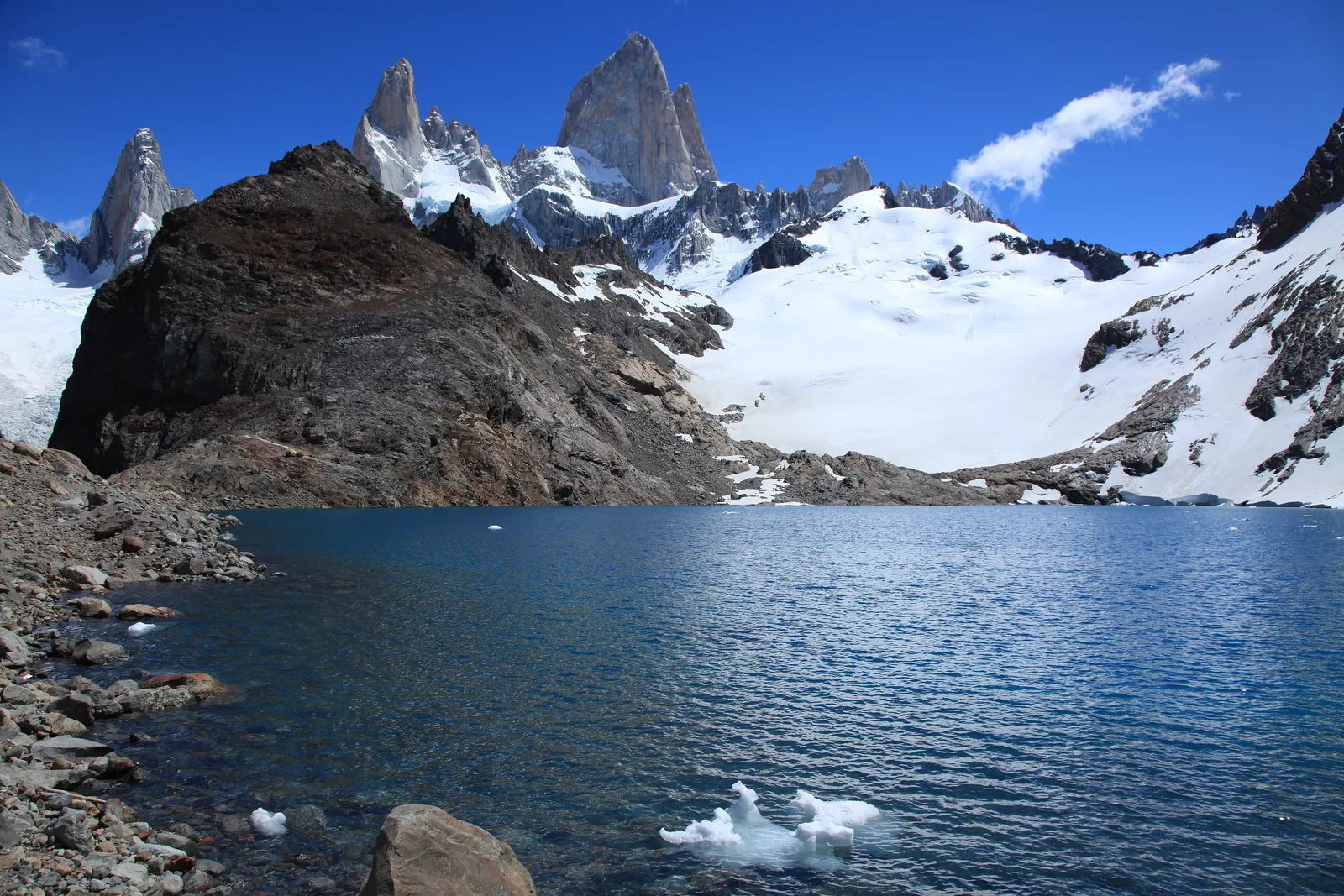
In the north, Fitz Roy, which the Tehuelche called Chaltén, and Cerro Torre rise out of the ice. The park authority describes the mountain as sacred to the original inhabitants; in Tehuelche, Chaltén means "smoking mountain": the clouds at the summit made it look like a volcano.
APN: general information leaflet 2024 (ice field, glacier sizes, wildlife) ↗
The park in numbers
- Area
- 726,927 ha
- Founded
- 1937
- UNESCO World Heritage
- 1981
- Southern Ice Field
- about 12,500 km²
- Major glaciers
- 48
- Fitz Roy (Chaltén)
- 3,405 m (11,171 ft)
- Lago Argentino
- 160 km (99 mi) long
- Perito Moreno
- 254 km²