National Parks Atlas
Map

00 · Mountain and hiking destination in Los Glaciares National Park · Santa Cruz · North Zone

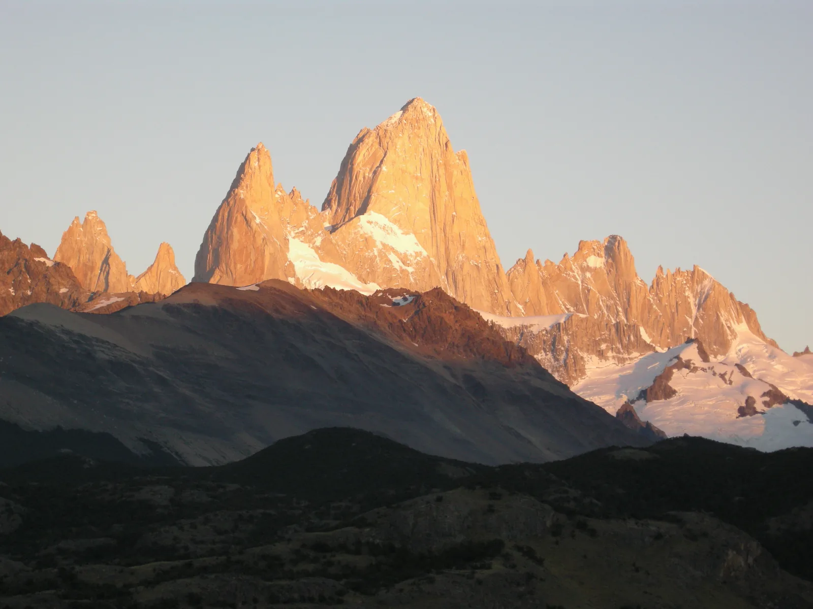
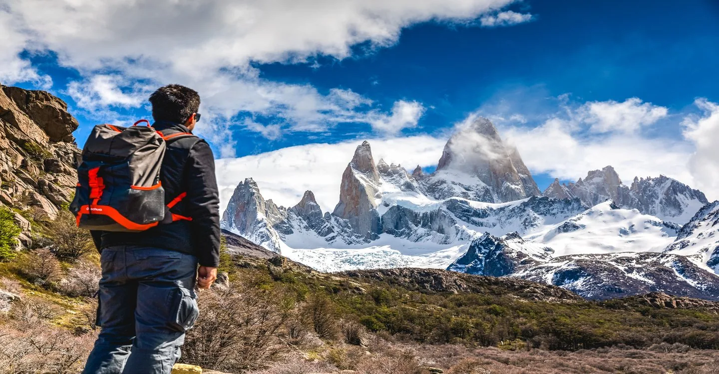
Fitz Roy

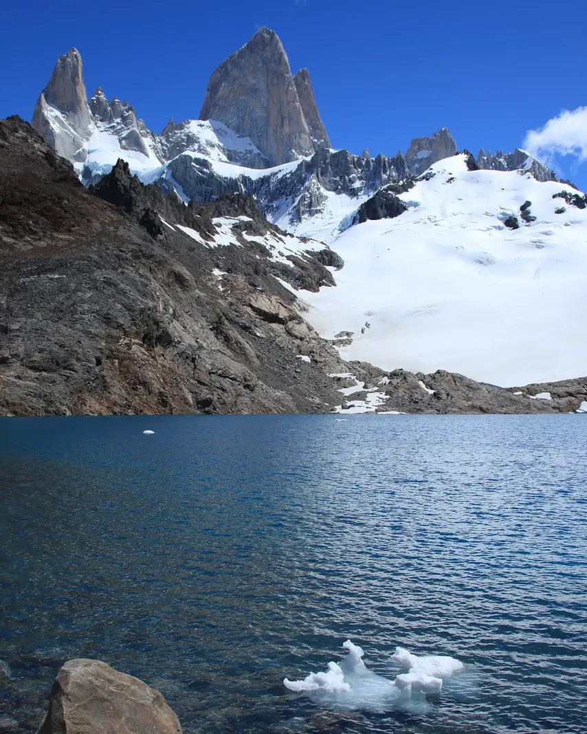
Granite growing out of the ice: the mountain the Tehuelche called Chaltén – and the trails that start right at the edge of El Chaltén.

Trails, fees & getting thereGetting there & parkingOpening times

View plan

Photo: Liam Quinn from Canada ↗ · CC BY-SA 2.0 ↗

3,405 m (11,171 ft)Fitz Roy

according to the park authority

10 km (6.2 mi)Laguna de los Tres

each way, about 5 hours

50,000 pesosEntry, foreign visitors

online only, card only

Fitz Roy: the mountain above El Chaltén

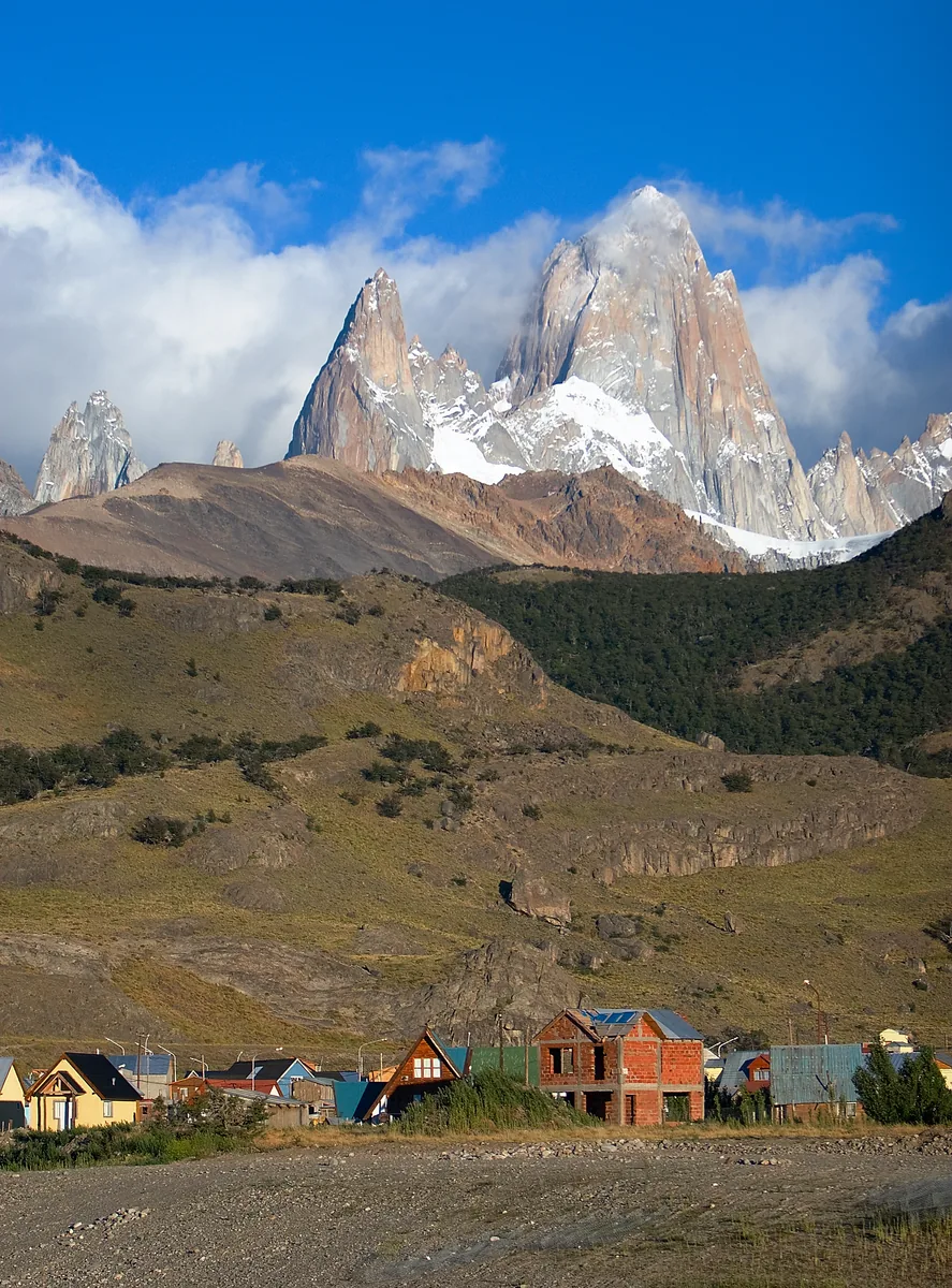
Trails to Laguna Capri, Laguna de los Tres and Laguna Torre – all from the village.

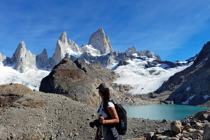
Fitz Roy, Chaltén in Tehuelche, is at 3,405 m (11,171 ft) the highest peak in the north of Los Glaciares National Park and a goal for climbers from all over the world. For hikers the marked trails start right in El Chaltén; the best known leads to Laguna de los Tres, the closest viewpoint below its east face.

According to the park authority, Cerro Chaltén was a sacred mountain for the original inhabitants. The name means "smoking mountain": the clouds at the summit made it look like a volcano.

Since 1 June 2026 the North Zone also charges entry; tickets are sold online only. For Laguna de los Tres the park authority itself gives two distances: its leaflet says 10 km (6.2 mi) each way, its activities page 25 km (16 mi) in total.

APN: protected area fact sheet (726,927 ha, Perito Moreno, Cerro Chaltén 3,405 m, huemul) ↗

In numbers

Fitz Roy
3,405 m (11,171 ft)
Cerro Torre
3,102 m (10,177 ft)
Laguna de los Tres
10 km (6.2 mi) each way
Elevation gain
750
Laguna Capri
4 km (2.5 mi) each way
Laguna Torre
10 km (6.2 mi) each way
El Calafate – El Chaltén
220 km (137 mi)
Entry, foreign visitors
50,000 pesos

To the Los Glaciares park guide

01 · Plan

Trails, fees & getting there

Via El Calafate and Ruta 40.

Photo: Gagea ↗ · CC BY-SA 3.0 ↗

Getting to El Chaltén

Via El Calafate and Ruta 40.

Price list

checked 9 Oct 2026

Costs: entry fees since June 2026

What you pay for in the North Zone.

Los Glaciares National Park entry, North Zone (Portal El Chaltén), valid since 1 June 2026
CategoryDay
Foreign visitors (General)50,000 pesos
Residents of Argentina (Nacional)25,000 pesos
Residents of Santa Cruz Province8,000 pesos
Argentine students15,000 pesos
Children up to and including 6free

Fee annex of the park authority APN to Resolución 157/2026, retrieved on 9 Oct 2026. In the North Zone online only (also via QR code on site), credit or debit card only, no cash. Second day within 72 hours 50 per cent cheaper. APN: fee annex IF-2026-52297961 (Zona Sur and Zona Norte – Portal El Chaltén, second-day discount) ↗

Entry online only

Foreign visitors pay 50,000 pesos a day. Tickets are sold online only, including via QR code at the Los Cóndores, Cerro Torre/Base Fitz Roy and Río Eléctrico access points; cash is not accepted.

APN: Los Glaciares fees, valid from 1 June 2026, payment methods by zone (retrieved 9 Oct 2026) ↗

Campsites need a reservation

The De Agostini, Laguna Capri and Poincenot campsites are run by the Asociación Amigos del Parque Nacional Los Glaciares; you must book in advance.

APN: recommendations for your visit (dogs, drones, fires, winter equipment) ↗

Supplies from the village

There is nothing to buy on the trails; bring water, food, warm clothes and a head torch.

APN: recommendations for your visit (dogs, drones, fires, winter equipment) ↗

Four trails from El Chaltén

Fitz Roy and Cerro Torre: how long each trail is

According to the park authority's leaflet; figures each way from the trailhead.

Laguna de los Tres

Closest view of Fitz Roy

Distance
10 km (6.2 mi)
Time
5 hours
Elevation gain
750

Laguna Capri

Fitz Roy massif above the lake

Distance
4 km (2.5 mi)
Time
1 hour 45 minutes
Elevation gain
350

Laguna Torre

Glacier and Cerro Torre

Distance
10 km (6.2 mi)
Time
3.5 hours
Elevation gain
250

Mirador de los Cóndores

View of the village and both massifs

Distance
1 km (0.6 mi)
Time
45 minutes
Elevation gain
100

The park authority's activities page gives 25 km (16 mi) and 8 to 9 hours return for Laguna de los Tres, and 18 km (11 mi) for Laguna Torre. APN: activities (trails, walkways, ice trekking, boat trips, cycling) ↗ · APN: North Zone trails leaflet 2024 (distances, times, elevation gain) ↗

When to go: windy summers, winters with crampons

The trails are open all year, but not easy all year.

02 · On site

On site: lagoons, glaciers, viewpoints

What you can reach on foot around El Chaltén.

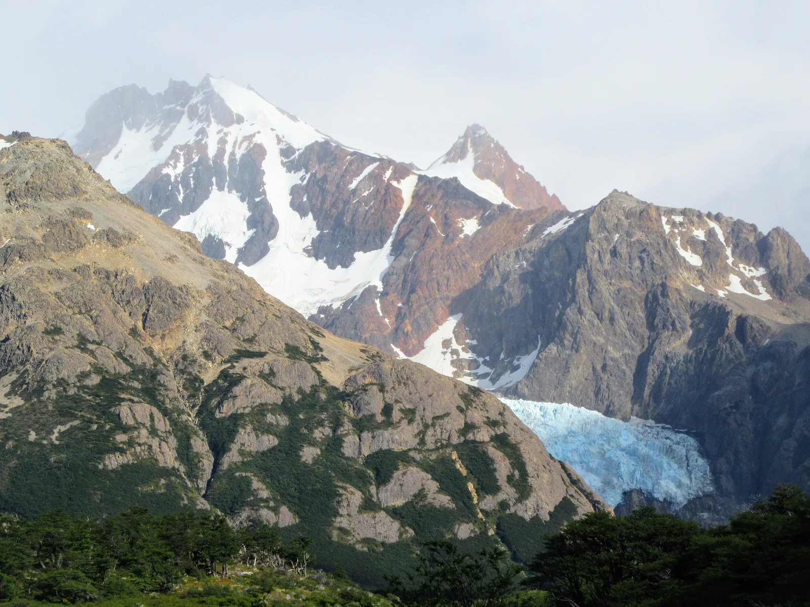
Photo: 360around ↗ · CC BY 2.0 ↗

“The mountain the Tehuelche called Chaltén usually wears a cloud – hence its name.”

Laguna Torre · Cerro Adela and Cerro Torre reflected in the lake

On site: lagoons, glaciers, viewpoints

What you can reach on foot around El Chaltén.

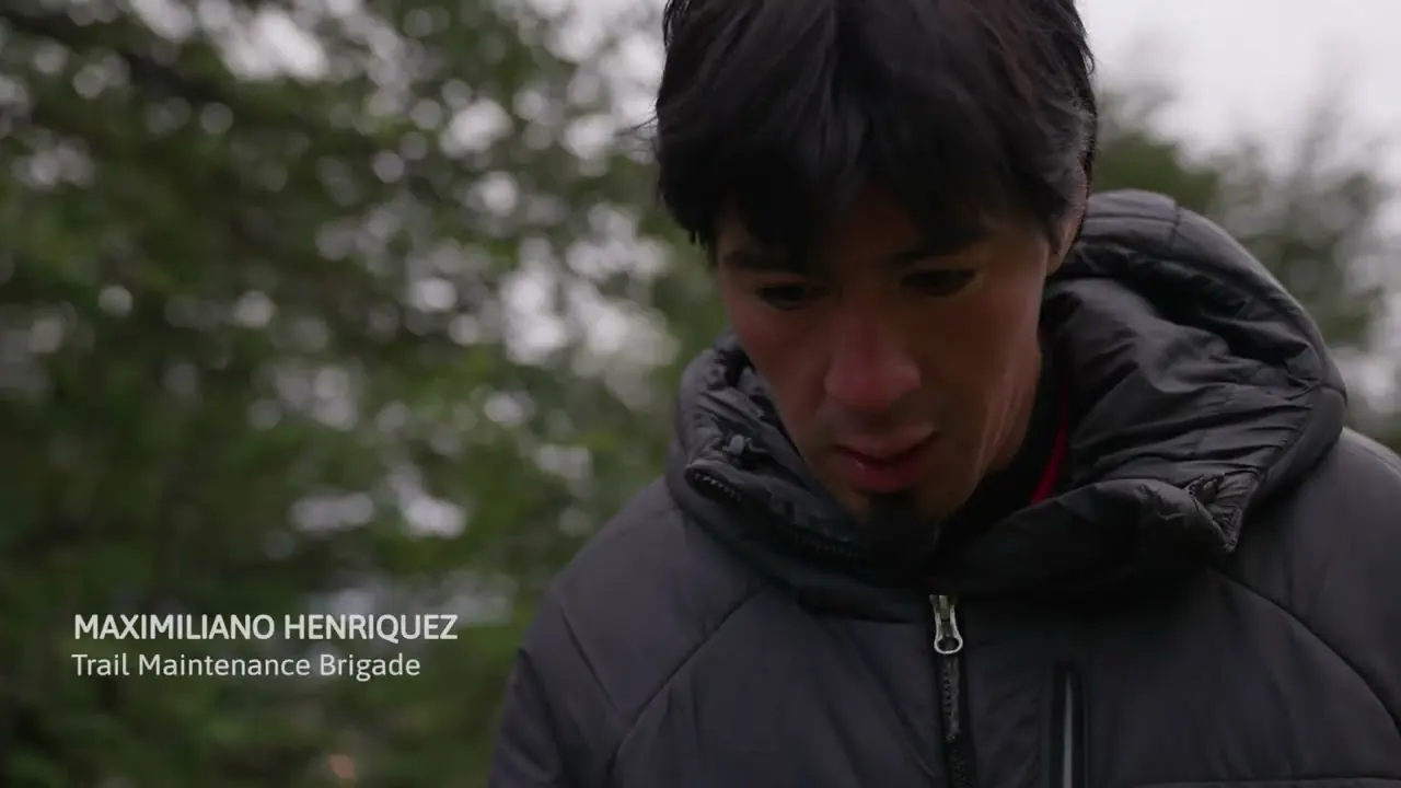
Film by the park partner

Welcome to the North Zone of Los Glaciares

Just over five minutes from the channel of the Asociación Amigos del Parque Nacional Los Glaciares, linked on the park authority's visitor page: trail workers and visitors explain how to walk the trails around El Chaltén safely and considerately. In English.

Source: Amigos del Parque Nacional Los Glaciares · View channel ↗

Guided on site

The trails charge entry through the park authority. Bookable through our partners: a day tour from El Calafate and a guided hike to Laguna de los Tres.

Offer photo: From El Calafate: Full-Day Tour to El Chaltén

Day tour from El Calafate · 11 hours · offer via GetYourGuide

From El Calafate: Full-Day Tour to El Chaltén

For anyone with just one day: along Ruta 40 with a stop at Estancia La Leona, then five hours in El Chaltén with a short guided walk to the Mirador de los Cóndores and the Chorrillo del Salto waterfall.

4.4 out of 5 stars1,036 reviews on GetYourGuidefrom €104.36as of 9 Oct

  • 11 hours
  • Pickup in El Calafate
  • Guide in Spanish/English
  • Lunch optional

Start Pickup from accommodation with a reception desk in El Calafate; otherwise a meeting point nearby.

View offer ↗Ad · partner link · checked 9 Oct 2026

According to the inclusions list: pickup and return, a bilingual guide and lunch if that option is selected. Not included is the park entry fee, which in the North Zone can only be bought online by card. Not suitable for wheelchair users. Free cancellation up to 24 hours before. Provider's product photo · GetYourGuide

Offer photo: El Chaltén: guided hike to Laguna de los Tres

Guided hike from El Chaltén · 9 hours · offer via Viator

El Chaltén: guided hike to Laguna de los Tres

With a mountain guide to Laguna de los Tres and the view of Fitz Roy and the Piedras Blancas Glacier; the provider takes the group to the trailhead, and you walk back to the village.

  • 9 hours
  • Pickup 8:00 in El Chaltén
  • Mountain guide in English/Spanish
  • Ages 15 and up

Start Pickup at 8:00 from your accommodation in El Chaltén.

View offer ↗Ad · partner link · checked 9 Oct 2026

According to the inclusions list: transfer to the trailhead and the mountain guide. Not included: snacks, water, lunch, return transport (the hike ends in the village) and the park entry fee. According to the provider 20.6 km (12.8 mi) in 8 to 9 hours, very good fitness needed, minimum age 15, passport details at booking. According to Viator non-refundable. Provider's product photo · Viator

Ad · we may earn a commission if you book through this partner link – at no extra cost to you. Thank you for supporting the atlas. Offer details checked 9 Oct 2026. See official prices.

03 · Nearby

Onward from here

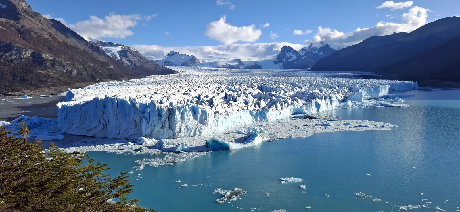
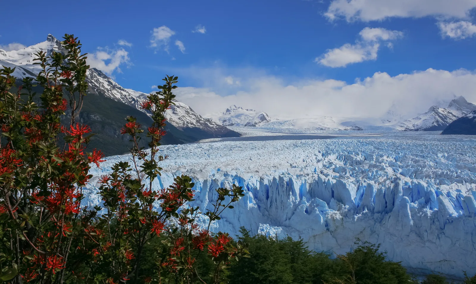
Fitz Roy is part of Los Glaciares National Park. Perito Moreno, the glaciers on Lago Argentino and the park rules are in the park guide.

Photo: Liam Quinn from Canada ↗ · CC BY-SA 2.0 ↗

Map

Fitz Roy on the terrain map

Eight points between El Chaltén and the lagoons, each referenced to an OpenStreetMap object and checked against the OpenStreetMap boundary of the park and reserve. All points are on the Los Glaciares National Park map, with details and photos.

Show on mapLos Glaciares National Park map · 3D terrain

Field book · Fitz Roy

checked 9 Oct 2026

01Good to know: huemul, puma, wasps

What the park authority advises for the North Zone.

Huemul and puma

If you meet a huemul, keep your distance and tell the ranger. If you meet a puma, do not run and do not turn your back on it.

APN: North Zone trails leaflet 2024 (distances, times, elevation gain) ↗

Yellow jacket wasp

The introduced chaqueta amarilla can sting more than once; people with allergies should see a doctor immediately after a sting.

APN: North Zone trails leaflet 2024 (distances, times, elevation gain) ↗

No fires, no bikes

Fires are banned in the North Zone; only gas stoves at the campsites are allowed. Cycling on the trails is not permitted.

APN: North Zone trails leaflet 2024 (distances, times, elevation gain) ↗

02Fitz Roy: frequently asked questions

Short answers, with sources.

How long does the hike to Laguna de los Tres take?

According to the park authority's leaflet, 5 hours each way for 10 km (6.2 mi) and 750 m (2,461 ft) of climbing. The same authority's activities page gives 8 to 9 hours and 25 km (16 mi) for the return trip.

APN: North Zone trails leaflet 2024 (distances, times, elevation gain) ↗

Do you have to pay to hike to Fitz Roy?

Yes. Since 1 June 2026 the North Zone has the same fee as the south: 50,000 pesos for foreign visitors. Tickets are sold online only and by card only.

APN: fee annex IF-2026-52297961 (Zona Sur and Zona Norte – Portal El Chaltén, second-day discount) ↗

How high is Fitz Roy?

3,405 m (11,171 ft) according to the park authority. It is a goal for climbers from all over the world; the hiking trails end at viewpoints such as Laguna de los Tres.

APN: protected area fact sheet (726,927 ha, Perito Moreno, Cerro Chaltén 3,405 m, huemul) ↗

How do I get to El Chaltén?

From El Calafate by daily bus or by car via Ruta 40 and the RP 41, 220 km (137 mi) in total on asphalt.

APN: opening hours and getting there (Corredor Mitre–Moreno, airport, buses) ↗

Can you camp at Laguna de los Tres?

Not at the lagoon itself. The nearest campsite is Poincenot in the forest below; it is managed and must be booked.

APN: accommodation in and near the park (campsites, estancia) ↗

03Sources and last checked

Operator, municipality and park authority, each fact cited individually.

Places on the map

  • Centro de Visitantes Ceferino Fonzo Park authority visitor centre

    Before the village entrance; registration for climbing and remote trails.

    Location source ↗
  • Terminal de Ómnibus El Chaltén Bus station

    Daily buses to and from El Calafate.

    Location source ↗
  • Sendero Monte Fitz Roy Start of the Fitz Roy trail

    At the north end of the village; the trails to Laguna Capri and Laguna de los Tres start here.

    Location source ↗
  • Laguna Capri Lake with a view of the Fitz Roy massif

    4 km (2.5 mi) from the village, about 1 hour 45 minutes; campsite with reservation.

    Location source ↗
  • Campamento Poincenot Campsite in the forest

    8 km (5 mi) from the village; last stop before the steep climb.

    Location source ↗
  • Laguna de los Tres viewpoint Closest viewpoint to Fitz Roy

    10 km (6.2 mi), 750 m (2,461 ft) of climbing; take care in rain and wind.

    Location source ↗
  • Laguna Torre Trailhead Start of the Laguna Torre trail

    On the western edge of the village.

    Location source ↗
  • Mirador Maestri Viewpoint above Laguna Torre

    12 km (7.5 mi) from the village, with views of the glacier and Cerro Torre.

    Location source ↗
  1. APN: North Zone trails leaflet 2024 (distances, times, elevation gain) ↗
  2. APN: activities (trails, walkways, ice trekking, boat trips, cycling) ↗
  3. APN: protected area fact sheet (726,927 ha, Perito Moreno, Cerro Chaltén 3,405 m, huemul) ↗
  4. APN: general information leaflet 2024 (ice field, glacier sizes, wildlife) ↗
  5. APN: overview (best time to visit, El Chaltén, glaciers, what to bring) ↗
  6. APN: opening hours and getting there (Corredor Mitre–Moreno, airport, buses) ↗
  7. APN: Los Glaciares fees, valid from 1 June 2026, payment methods by zone (retrieved 9 Oct 2026) ↗
  8. APN: fee annex IF-2026-52297961 (Zona Sur and Zona Norte – Portal El Chaltén, second-day discount) ↗
  9. APN: accommodation in and near the park (campsites, estancia) ↗
  10. APN: recommendations for your visit (dogs, drones, fires, winter equipment) ↗

How current is this information?

Researched 9 Oct 2026. Not a live status. Prices, timetables and opening hours change; please check with the operator before you travel.

Current information from the operator ↗

Image and map credits

Location sources: every point on the map links to the OpenStreetMap object its coordinate comes from. Markers do not imply that access is permitted.

End of the field book · Park authority ↗