

Victoria Falls: landscape and origins
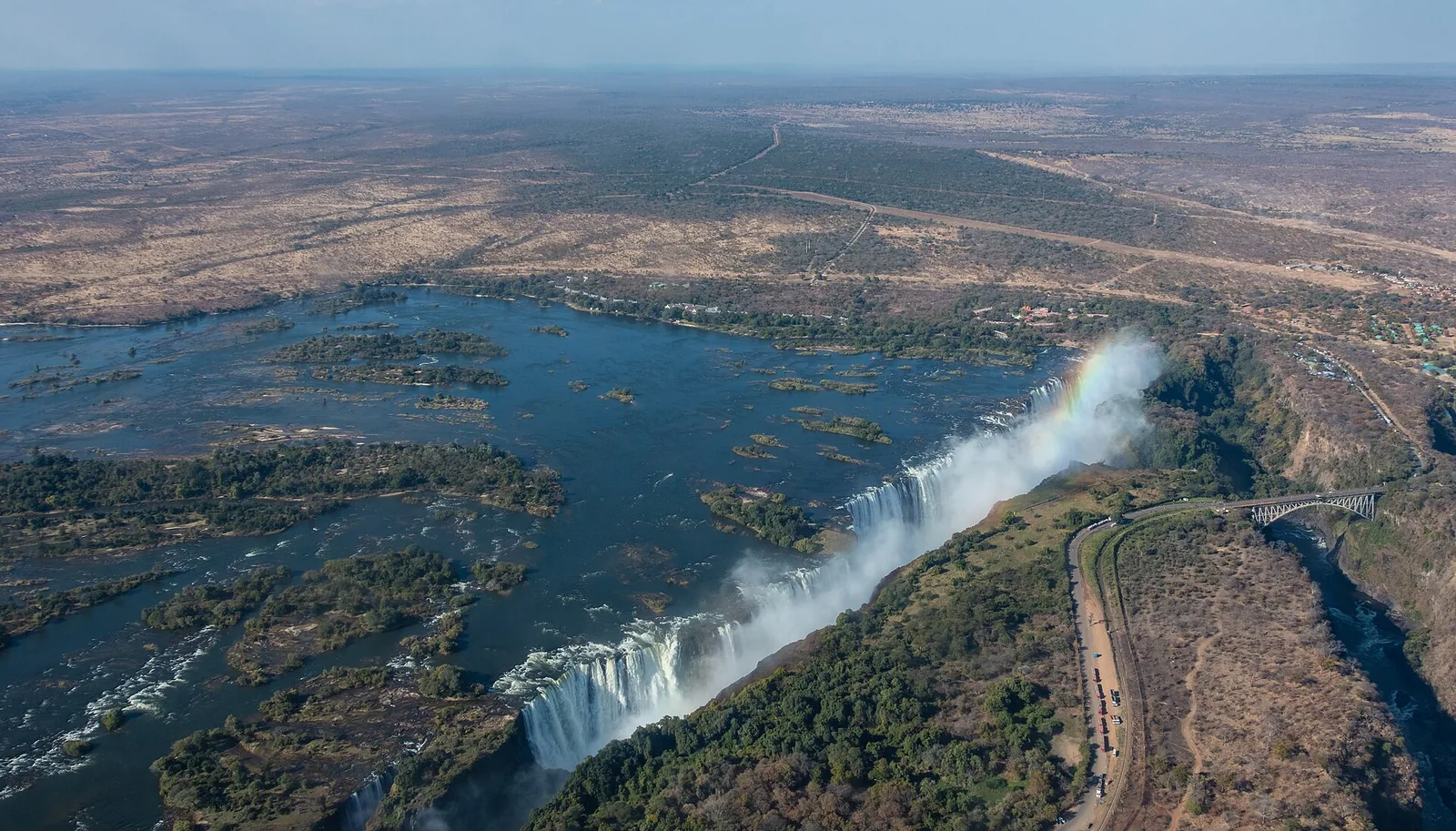
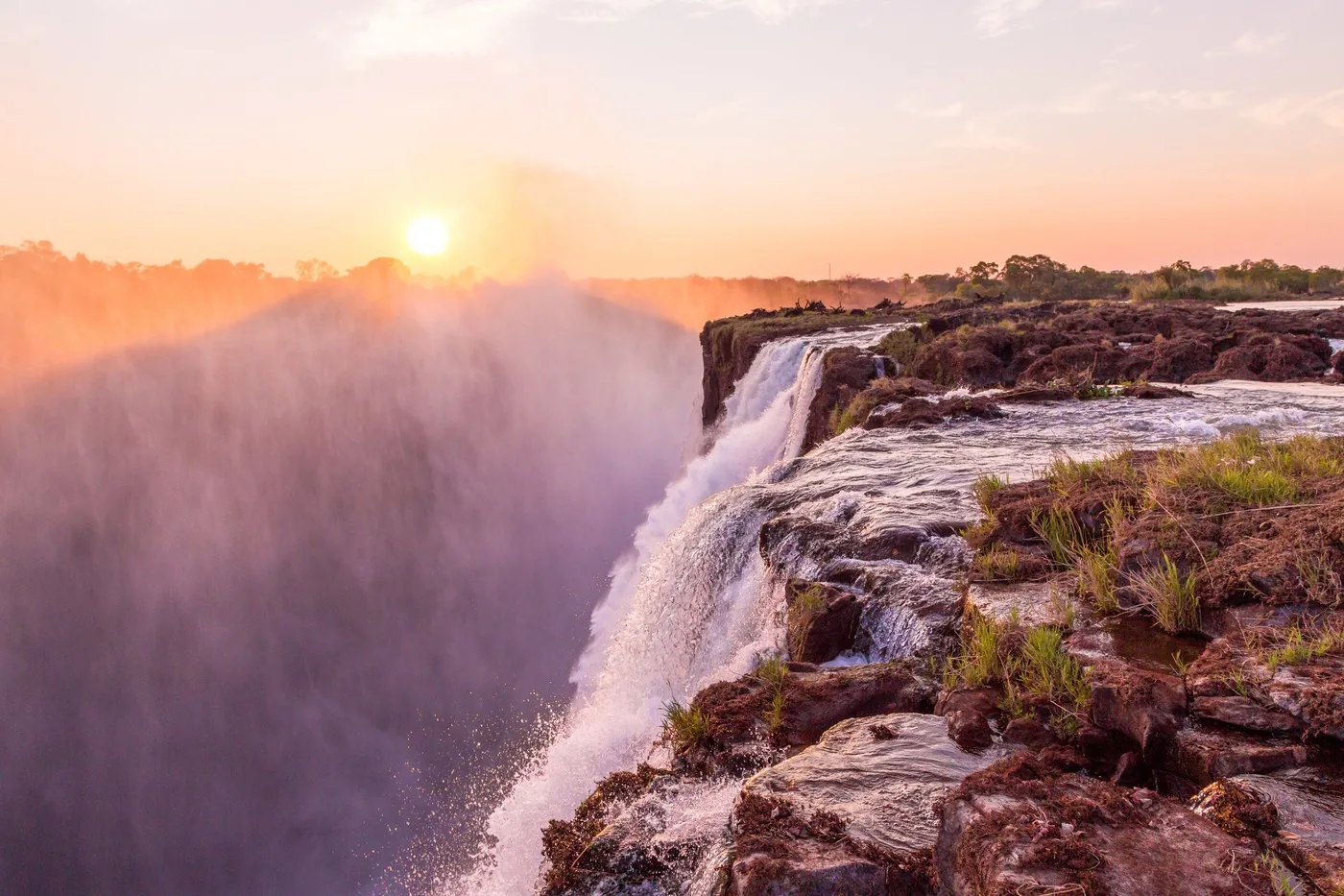
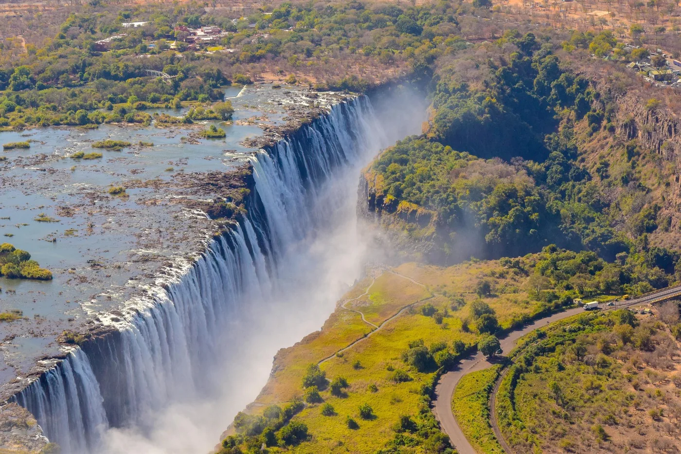
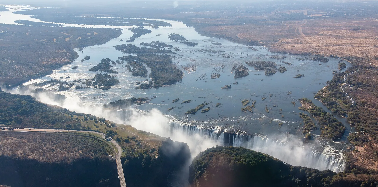
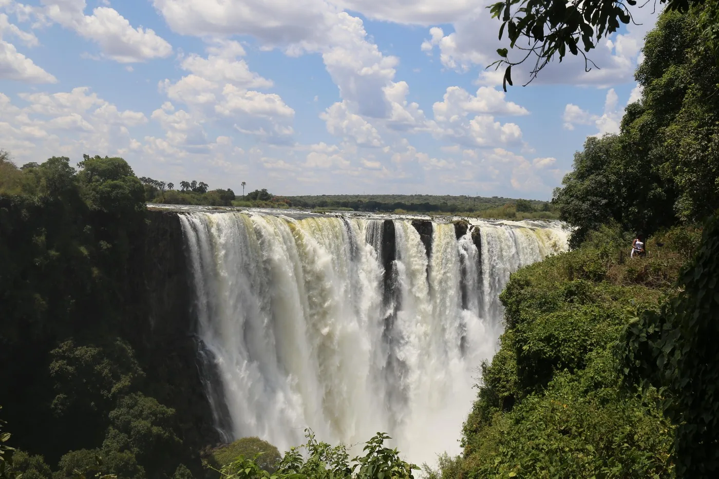
The largest curtain of falling water in the world: four sections, separated by islands on the edge.
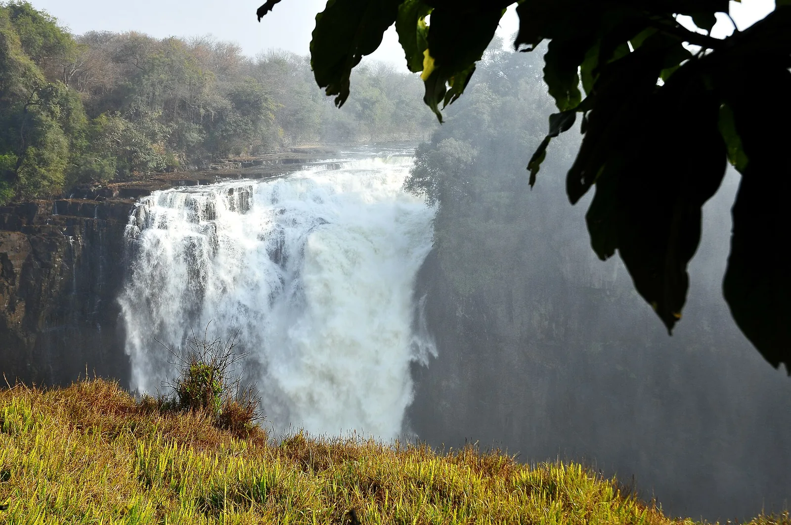
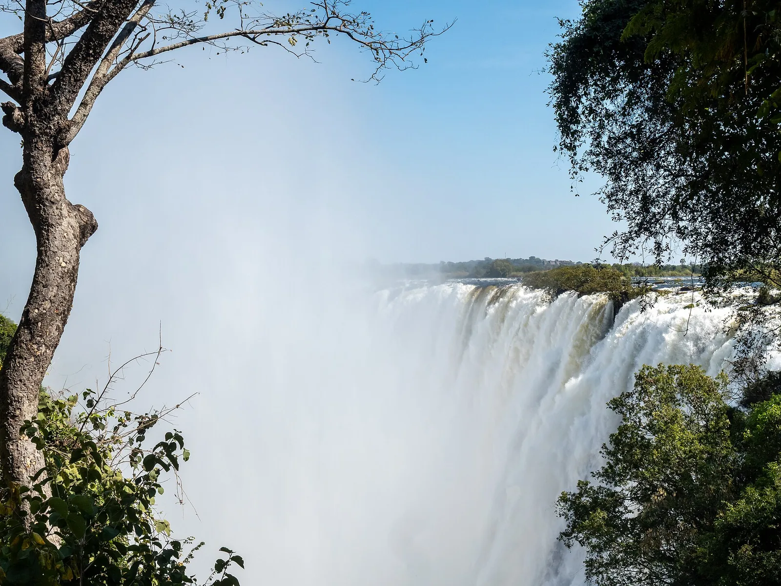
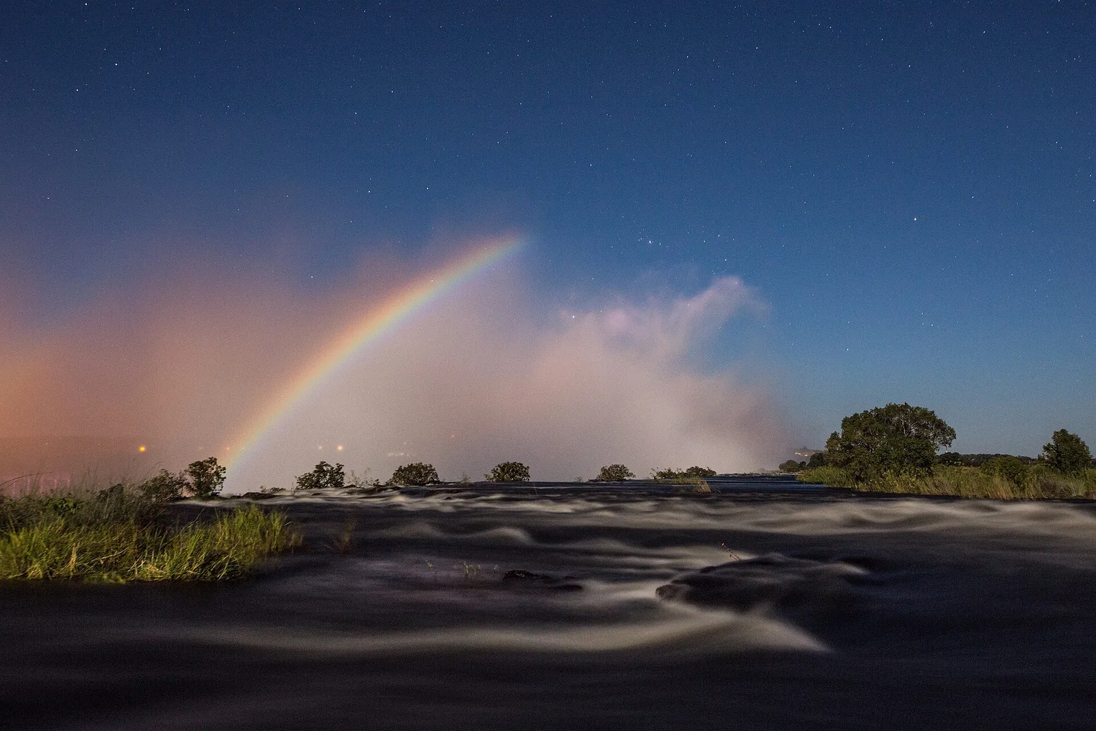
At the falls the Zambezi is more than two kilometres wide. Along 1,708 metres (5,604 ft) it plunges into the first gorge, divided into Devil’s Cataract, Main Falls, Rainbow Falls and Eastern Cataract.
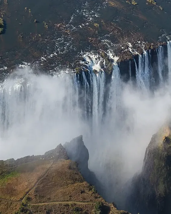
The spray rises up to 500 metres (1,640 ft). It feeds the rainforest opposite the edge, a fragile, patchy forest on sandy alluvium that lives on the constant drizzle.
Below the falls the river has cut eight gorges through the basalt. Each was once a waterfall; at Devil’s Cataract the Zambezi has already begun to carve the next.
Deposits around the falls have yielded stone tools of Homo habilis, which UNESCO dates to three million years ago, as well as tools from the Middle and Late Stone Age.
UNESCO World Heritage Centre: Mosi-oa-Tunya / Victoria Falls (World Heritage since 1989) ↗
The park in numbers
- Width
- 1,708 m (5,604 ft)
- Average depth
- 100 m (328 ft)
- Deepest point
- 108 m (354 ft)
- Altitude
- about 915 m (3,002 ft)
- Volume of water
- up to 500 million litres a minute
- Devil's Cataract
- 61 m (200 ft)
- Main Falls
- 83 m (272 ft)
- Rainbow Falls
- 99 m (325 ft)
- Eastern Cataract
- 98 m (322 ft)
- Gorges below
- 8, about 150 km (93 mi)
- World Heritage since
- 1989
- World Heritage area
- 6,860 ha