National Parks Atlas
To the park
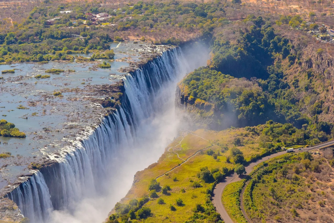
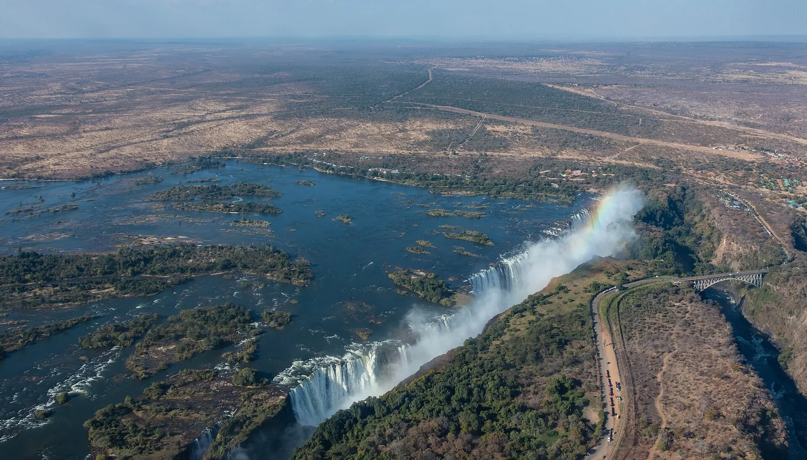
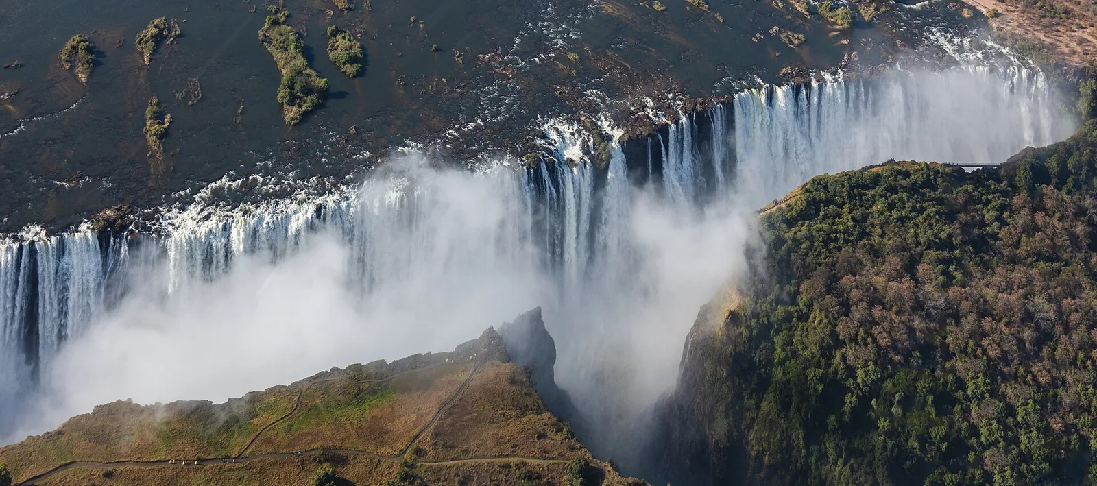
Aerial view of Victoria Falls: the Zambezi plunges along a broad front into the first gorge, spray rising, with the green rainforest on the Zimbabwean side to the right

Victoria Falls: map

18 places with verified coordinates · 13 with photo

Bookable in the park · 4

Ad · partner links: we may earn a commission if you book – at no extra cost to you. Thank you for supporting the atlas. Offer details checked 4 Oct 2026; dates and prices with the provider.

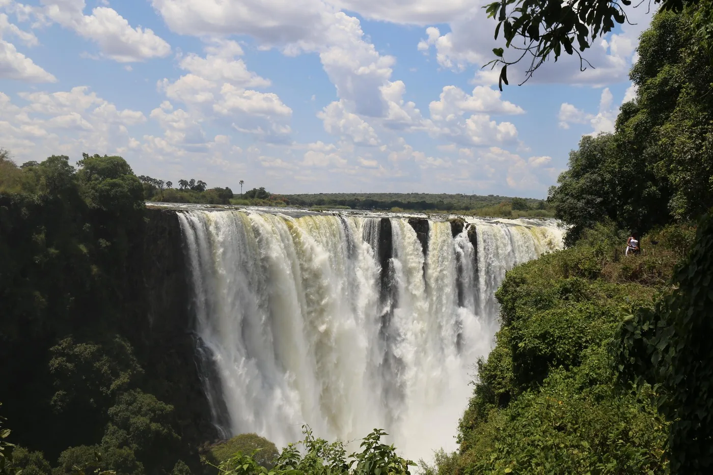
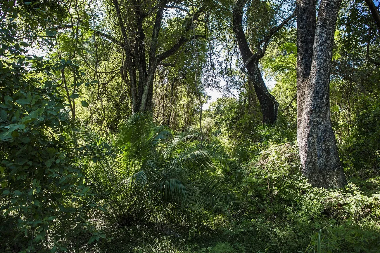
Tall trees, palms and dense undergrowth in the rainforest of Victoria Falls National Park on the Zimbabwean side
Photo: ninara from Helsinki, Finland ↗ · CC BY 2.0 ↗

Nature · Ticket office of Victoria Falls National Park

Rainforest entrance (Zimbabwe)

The rainforest trail starts here. Next to it: car park, information and café.

Thirty hectares of forest living on the spray of the falls — and ZimParks' biggest earner.

Area
30 ha
Fenced since
1986
Paths
about 3.5 km (2.2 mi)
Viewpoints
16
Visits in 2019
about 400,000
Wheelchair
most paths

Visiting Victoria Falls: one waterfall, two countries

Zimbabwe: the view from the front

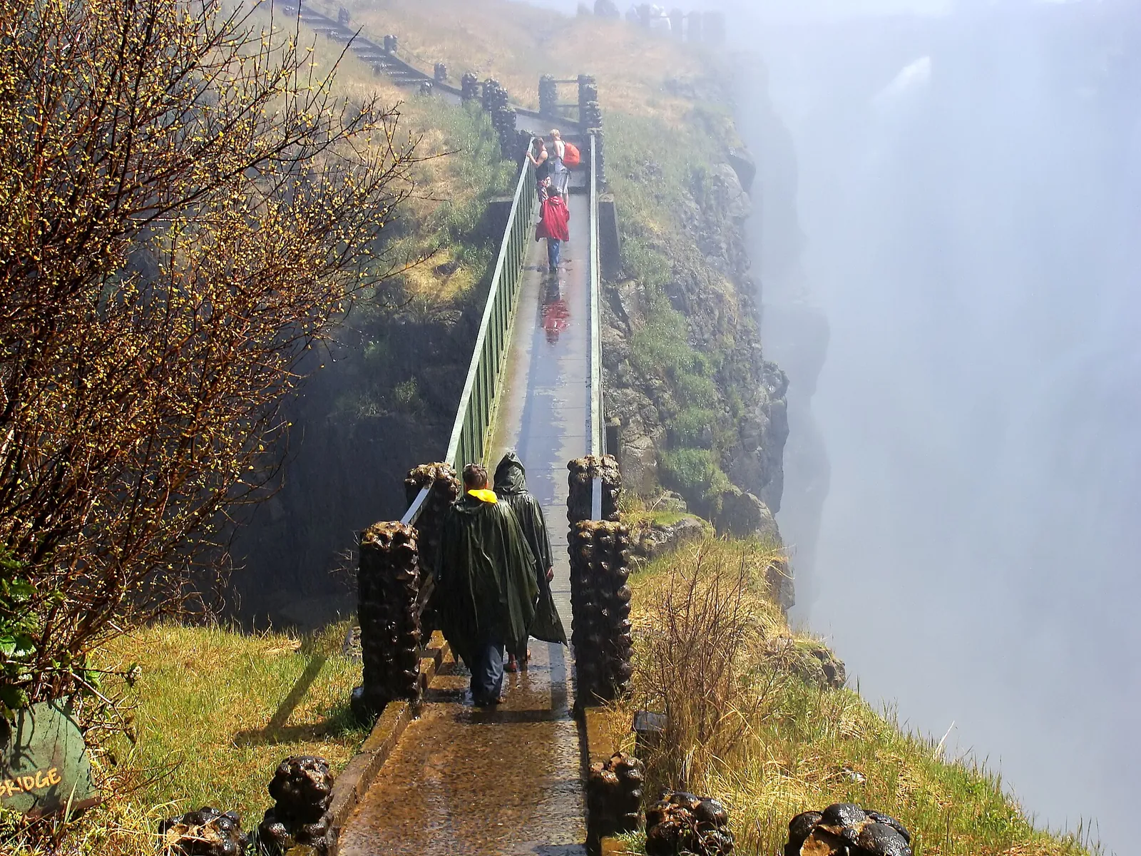
On the Zimbabwean side, about 3.5 km (2.2 mi) of concrete paths lead through the rainforest to 16 official viewpoints, most of them accessible by wheelchair. Here you face the whole front of the falls.

ZimParks: management plan for Zambezi and Victoria Falls National Parks 2024–2034 (PDF) ↗

Tickets & entrance fees: US$58 in Zimbabwe, US$20 in Zambia

Zimbabwe: US$58 for international visitors

For the rainforest at the main gate, ZimParks charges US$58 per day for international visitors in 2026, US$35 for visitors from SADC countries and US$7 for locals. According to the tariff sheet, all charges include VAT.

ZimParks: De-Gazetted Tariff 2026, daily fees (PDF, February 2026 edition; read on 4 Oct 2026 via the Internet Archive copy because zimparks.org.zw was overloaded) ↗

Victoria Falls tours and activities

The rainforest trail

From the entrance the trail runs west to east along the gorge, over 3.5 km (2.2 mi) and 16 viewpoints. Hedges rather than railings protect the viewpoints; the paths date from the 1990s.

ZimParks: management plan for Zambezi and Victoria Falls National Parks 2024–2034 (PDF) ↗

Victoria Falls tours and activities

Into the rainforest by moonlight

ZimParks sells separate tickets for moonlight visits to the rainforest, US$116 for international visitors. On a clear night with plenty of spray, a lunar rainbow may appear.

ZimParks: De-Gazetted Tariff 2026, daily fees (PDF, February 2026 edition; read on 4 Oct 2026 via the Internet Archive copy because zimparks.org.zw was overloaded) ↗

Nature: basalt, gorges and a rainforest made of spray

A rainforest made of spray

Opposite the falls, the spray keeps a dense rainforest wet, with ferns, palms, lianas and mahogany. Baboons, warthogs and monkeys are common; leopards are seen only very rarely.

ZimParks: Victoria Falls National Park (overview, getting there, clothing, caution) ↗

Open in OpenStreetMap ↗Location source ↗

-17.92492, 25.84710

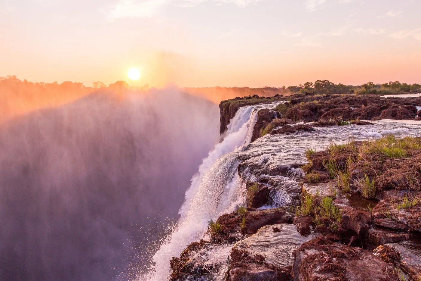
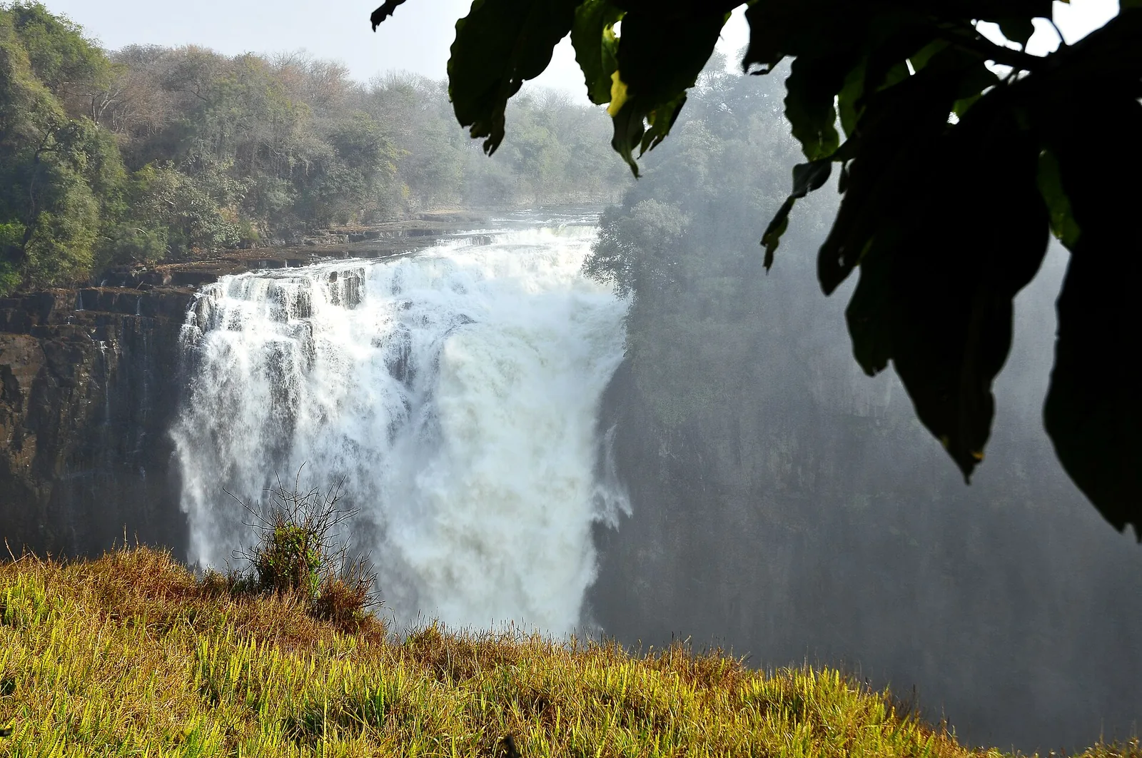
Water plunges at Devil's Cataract at Victoria Falls between green rock walls into the gorge, with spray rising
Photo: LBM1948 ↗ · CC BY-SA 4.0 ↗

Viewpoint · Viewpoint 3, Zimbabwe

Devil's Cataract viewpoint

The westernmost part of the falls, just past the entrance.

The lowest section of the falls — and the one where the future begins.

Drop
61 m (200 ft)
Location
Western end, Zimbabwe
Role
Start of a new gorge

Victoria Falls tours and activities

Devil's Cataract: where the next gorge begins

At Devil's Cataract the water drops 61 metres (200 ft). According to UNESCO, this is where the Zambezi starts cutting back into a new waterfall — as it has done seven times before.

UNESCO World Heritage Centre: Mosi-oa-Tunya / Victoria Falls (World Heritage since 1989) ↗

Open in OpenStreetMap ↗Location source ↗

-17.92363, 25.84753

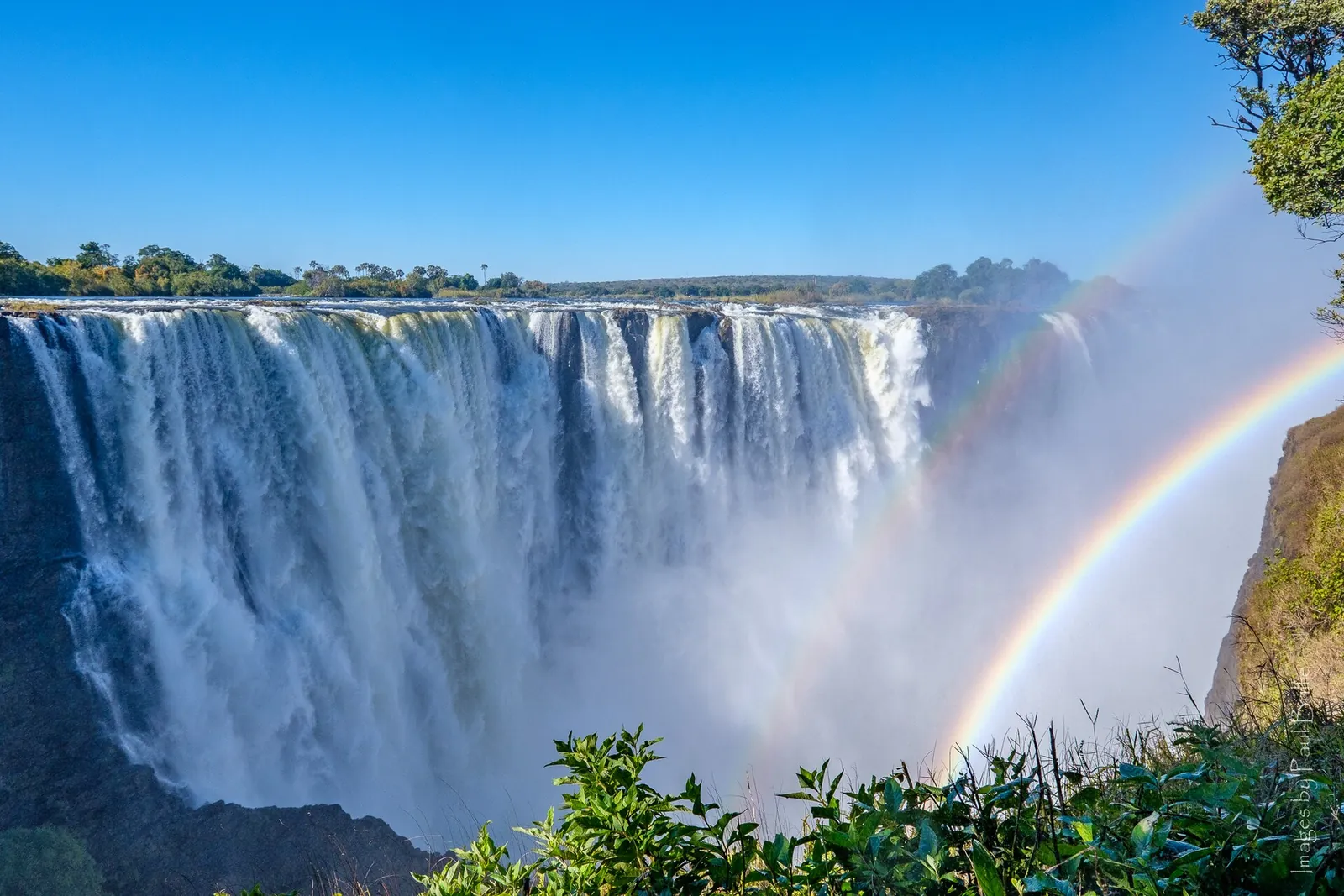
Main Falls of Victoria Falls from the Zimbabwean side: a broad wall of water pouring into the gorge, a double rainbow in the spray
Photo: Paul Balfe ↗ · CC BY 2.0 ↗

Viewpoint · Viewpoint 8, Zimbabwe

Main Falls viewpoint

View of the widest section of the falls.

Rules and safety: the edge, the spray, elephants

Keep away from the edge

ZimParks explicitly warns about the cliff edge and slippery rocks. Stay on the paths behind the hedges at the viewpoints.

ZimParks: Victoria Falls National Park (overview, getting there, clothing, caution) ↗

Open in OpenStreetMap ↗Location source ↗

-17.92405, 25.84977

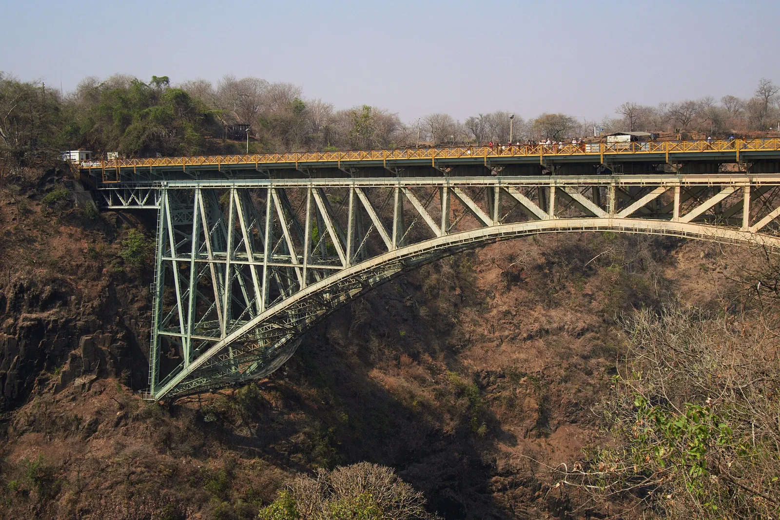
The steel arch of Victoria Falls Bridge spans the Batoka Gorge between Zimbabwe and Zambia
Photo: lumoplank ↗ · CC0 ↗

Mountains & rock · Bridge from 1905 across the gorge

Victoria Falls Bridge

Links both border posts. From the middle you look down into the gorge and across to the spray.

Across the gorge since 1905 — and still one of Zimbabwe's two road and rail crossings.

Completed
1905
Status
protected structure
Use
road, rail, pedestrians
Border
Zimbabwe–Zambia

Visiting Victoria Falls: one waterfall, two countries

The border runs across the bridge

Victoria Falls Bridge spans the gorge between the two sides; it was completed in 1905 and is now a protected structure. There is a border post at each end; crossing means leaving one country and entering the other.

ZimParks: management plan for Zambezi and Victoria Falls National Parks 2024–2034 (PDF) ↗

How to get there: via Victoria Falls Town or Livingstone

On foot across the border

The Victoria Falls border posts on both sides of the bridge are ports of entry for the KAZA Univisa. It costs US$50, allows multiple entries into Zambia and Zimbabwe and is valid for up to 30 days within twelve months.

Zambia Department of Immigration: KAZA UNIVISA ↗

Open in OpenStreetMap ↗Location source ↗

-17.92672, 25.86203

Nature · Ticket office on the Zambian side

Victoria Falls entrance (Zambia)

Entrance and ticket booth at the car park in Mosi-oa-Tunya National Park.

Own page

Devil's Pool

Swimming on the edge of the largest curtain of falling water in the world — only when the Zambezi is low, and only with a guide.

Season & prices

Tickets & entrance fees: US$58 in Zimbabwe, US$20 in Zambia

Zambia: US$20 at the entrance to the falls

On the Zambian side, you pay the fee of the heritage authority, the National Heritage Conservation Commission, at the entrance to the falls; the Livingstone Island operator puts it at US$20.

Livingstone Island (operator Green Safaris): rates, seasons and information ↗

Open in OpenStreetMap ↗Location source ↗

-17.92832, 25.86404

Viewpoint · Viewpoint down by the river, Zambia

Boiling Pot

Viewpoint down in the gorge, where the Zambezi leaves the falls.

Open in OpenStreetMap ↗Location source ↗

-17.92815, 25.85939

Nature · Easternmost section, Zambia

Eastern Cataract

The easternmost section of the falls, 98 metres (322 ft) high, right in front of the Zambian side.

Own page

Devil's Pool

Swimming on the edge of the largest curtain of falling water in the world — only when the Zambezi is low, and only with a guide.

Season & prices

Victoria Falls tours and activities

On foot across the dry edge

From 1 September to late December, guides lead small groups of up to six people on foot across the exposed rocks to the island; it takes 1 hour 45 minutes and costs US$100. The US$20 fee at the entrance to the falls is extra.

Livingstone Island (operator Green Safaris): rates, seasons and information ↗

Open in OpenStreetMap ↗Location source ↗

-17.92564, 25.86236

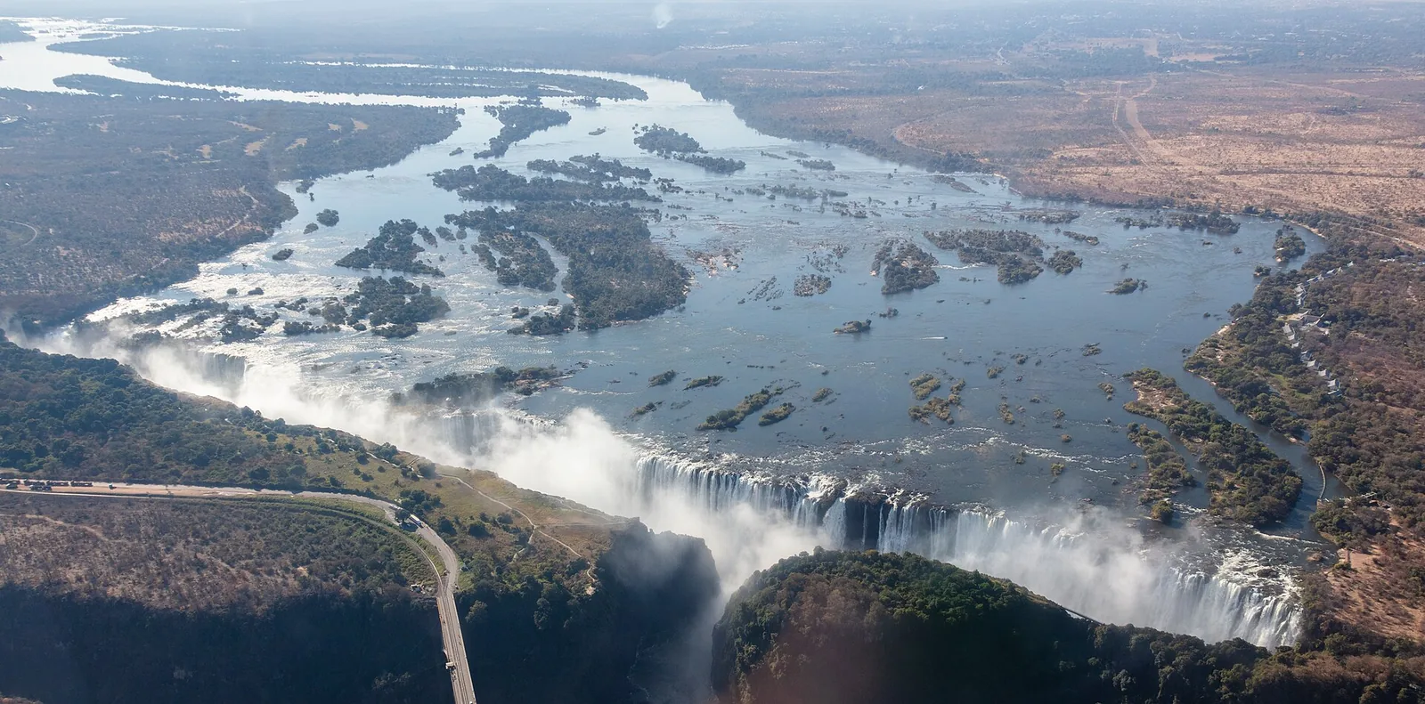
Aerial view of Victoria Falls with the Zambezi and its islands above the edge, water plunging into the gorge and the road along the bank
Photo: Diego Delso ↗ · CC BY-SA 4.0 ↗

Water · Island on the edge, Zambia

Livingstone Island

Reachable only by boat with a guide from the island operator.

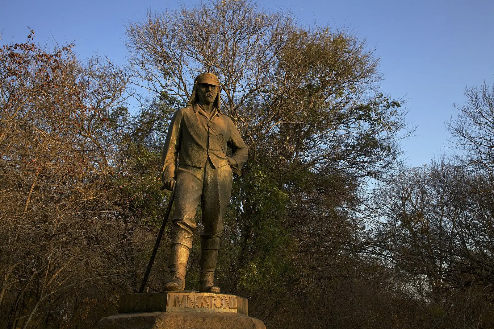
The island from which David Livingstone first saw the falls in 1855.

Devil's Pool
late Aug–late Dec
Angel's Pool
Jan–late Aug
Island open
11 to 12 months
On foot
1 Sep–late Dec
Minimum age, island
8 years
Minimum age, pools
12 years

Own page

Devil's Pool

Swimming on the edge of the largest curtain of falling water in the world — only when the Zambezi is low, and only with a guide.

Season & prices

Visiting Victoria Falls: one waterfall, two countries

Zambia: on the edge and on the island

From the Zambian side you look at the Eastern Cataract and down to the Boiling Pot. Ten minutes by boat takes you to Livingstone Island on the lip of the falls, with Devil's Pool.

Livingstone Island (operator Green Safaris): overview ↗

Tickets & entrance fees: US$58 in Zimbabwe, US$20 in Zambia

Livingstone Island: park fees included

According to the operator, boat tours to the island include park fees. A morning Breezer costs US$149 in the green season and US$159 in peak season; children pay the adult rate.

Livingstone Island (operator Green Safaris): rates, seasons and information ↗

Victoria Falls tours and activities

Livingstone Island and Devil's Pool

The island operator runs five tours a day, with no more than 32 guests per trip. Children may visit the island from age 8 and swim in the pool from age 12.

Livingstone Island (operator Green Safaris): FAQs, Devil's Pool season and minimum age ↗

Open in OpenStreetMap ↗Location source ↗

-17.92354, 25.85451

Aerial view of Victoria Falls with Livingstone Island on the edge, where Devil's Pool lies, and the Zambezi and its islands behind
Photo: Diego Delso ↗ · CC BY-SA 4.0 ↗

Mountains & rock · Rock pool on the lip of the falls

Devil's Pool

When the water is low, you swim right up to the edge here.

Own page

Devil's Pool

Swimming on the edge of the largest curtain of falling water in the world — only when the Zambezi is low, and only with a guide.

Livingstone Island, operator rates per person, as of 4 Oct 2026
BreezerUS$149
LunchUS$199
High teaUS$189

Season & prices

Best time to visit: most water from March to May, Devil’s Pool from late August

Devil's Pool only at low water

The operator usually opens Devil's Pool from late August to late December. From January to late August, when the water is high, guests swim in Angel's Pool.

Livingstone Island (operator Green Safaris): FAQs, Devil's Pool season and minimum age ↗

Rules and safety: the edge, the spray, elephants

Devil's Pool: health and age

Swimming happens only when the water level allows it, and only with a guide. Guests with high blood pressure or diabetes are assessed beforehand; life jackets are compulsory on the boat.

Livingstone Island (operator Green Safaris): FAQs, Devil's Pool season and minimum age ↗

Guided from here · Ad

Partner links: we may earn a commission if you book – at no extra cost to you. Thank you for supporting the atlas. Dates and prices with the provider.

Open in OpenStreetMap ↗Location source ↗

-17.92414, 25.85332

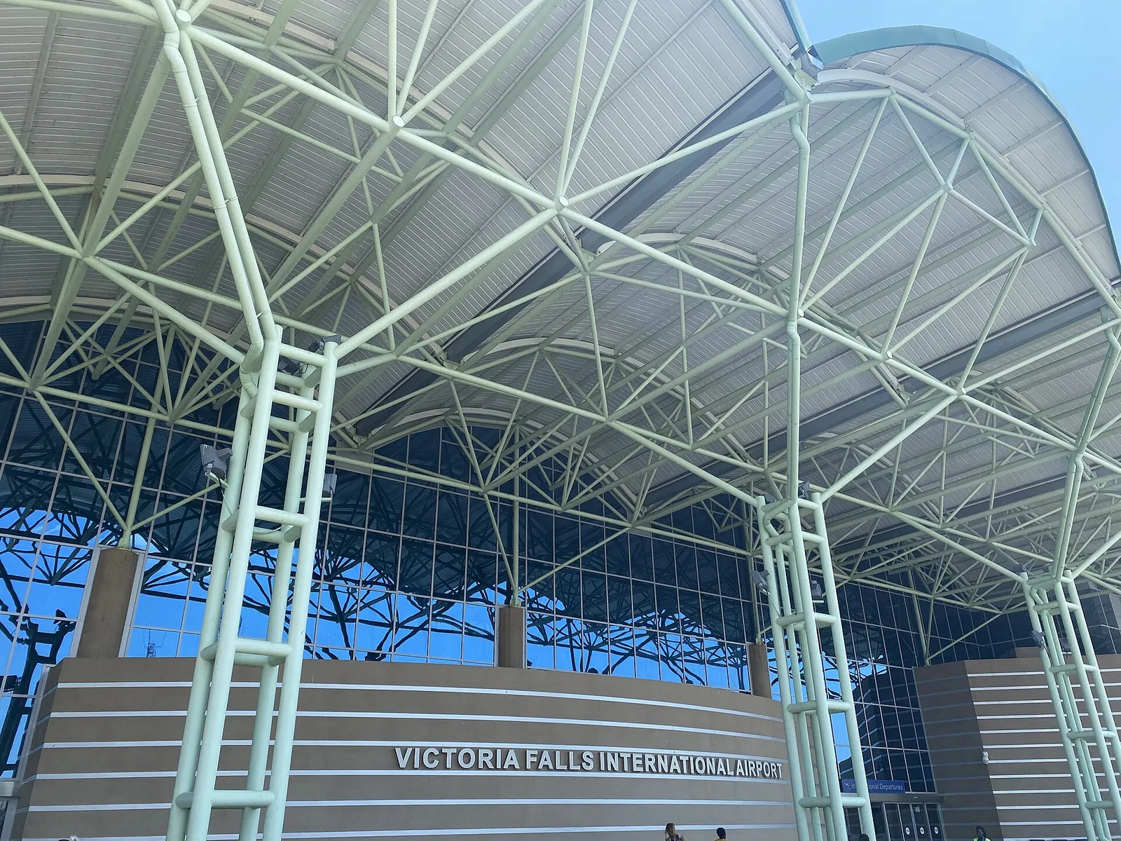
Steel canopy at the entrance of Victoria Falls International Airport with the lettering on the terminal
Photo: Geraldshields11 ↗ · CC BY-SA 4.0 ↗

Arrival · International airport, Zimbabwe

Victoria Falls Airport

Via the A8 to Victoria Falls Town.

How to get there: via Victoria Falls Town or Livingstone

Victoria Falls Airport (Zimbabwe)

Victoria Falls International Airport has been at its present site since 1967. After its upgrade it can handle 1.5 million travellers a year, according to the ZimParks management plan; from there it is a drive by road into town.

ZimParks: management plan for Zambezi and Victoria Falls National Parks 2024–2034 (PDF) ↗

Open in OpenStreetMap ↗Location source ↗

-18.09677, 25.83568

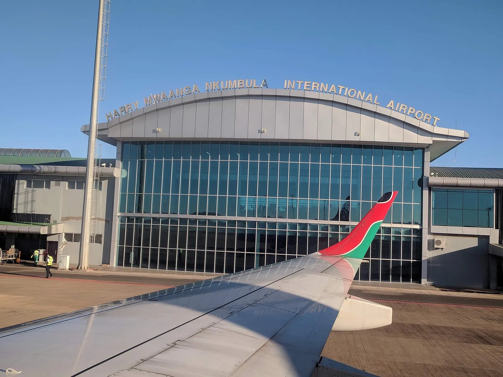
Terminal of Harry Mwaanga Nkumbula International Airport in Livingstone with its glass front and lettering, an aircraft wing in front
Photo: Doc James ↗ · CC BY-SA 4.0 ↗

Arrival · Livingstone airport, Zambia

Harry Mwaanga Nkumbula International Airport

North of Livingstone.

How to get there: via Victoria Falls Town or Livingstone

Livingstone Airport (Zambia)

On the Zambian side, Harry Mwaanga Nkumbula International Airport near Livingstone is a port of entry where the KAZA Univisa is also issued.

Zambia Department of Immigration: KAZA UNIVISA ↗

Open in OpenStreetMap ↗Location source ↗

-17.81833, 25.81698

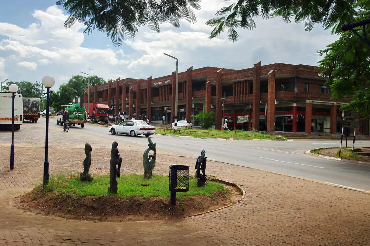
Street in the town of Victoria Falls with wooden sculptures on a traffic island and a red-brick shopping block
Photo: Bgabel ↗ · CC BY-SA 3.0 ↗

Surroundings · Small town, Zimbabwe

Victoria Falls Town

Hotels, lodges and tour operators on the Zimbabwean side.

How to get there: via Victoria Falls Town or Livingstone

On the A8 from Bulawayo

By car from Bulawayo, follow the A8 all the way to Victoria Falls. ZimParks also recommends the A8 from the airport.

ZimParks: Victoria Falls National Park (overview, getting there, clothing, caution) ↗

Where to stay: Victoria Falls Town, Livingstone or Zambezi National Park

Victoria Falls Town

According to the management plan, the town recently had nearly 5,000 beds, with at least 1,000 more planned. The parks almost completely surround it.

ZimParks: management plan for Zambezi and Victoria Falls National Parks 2024–2034 (PDF) ↗

Open in OpenStreetMap ↗Location source ↗

-17.93495, 25.82528

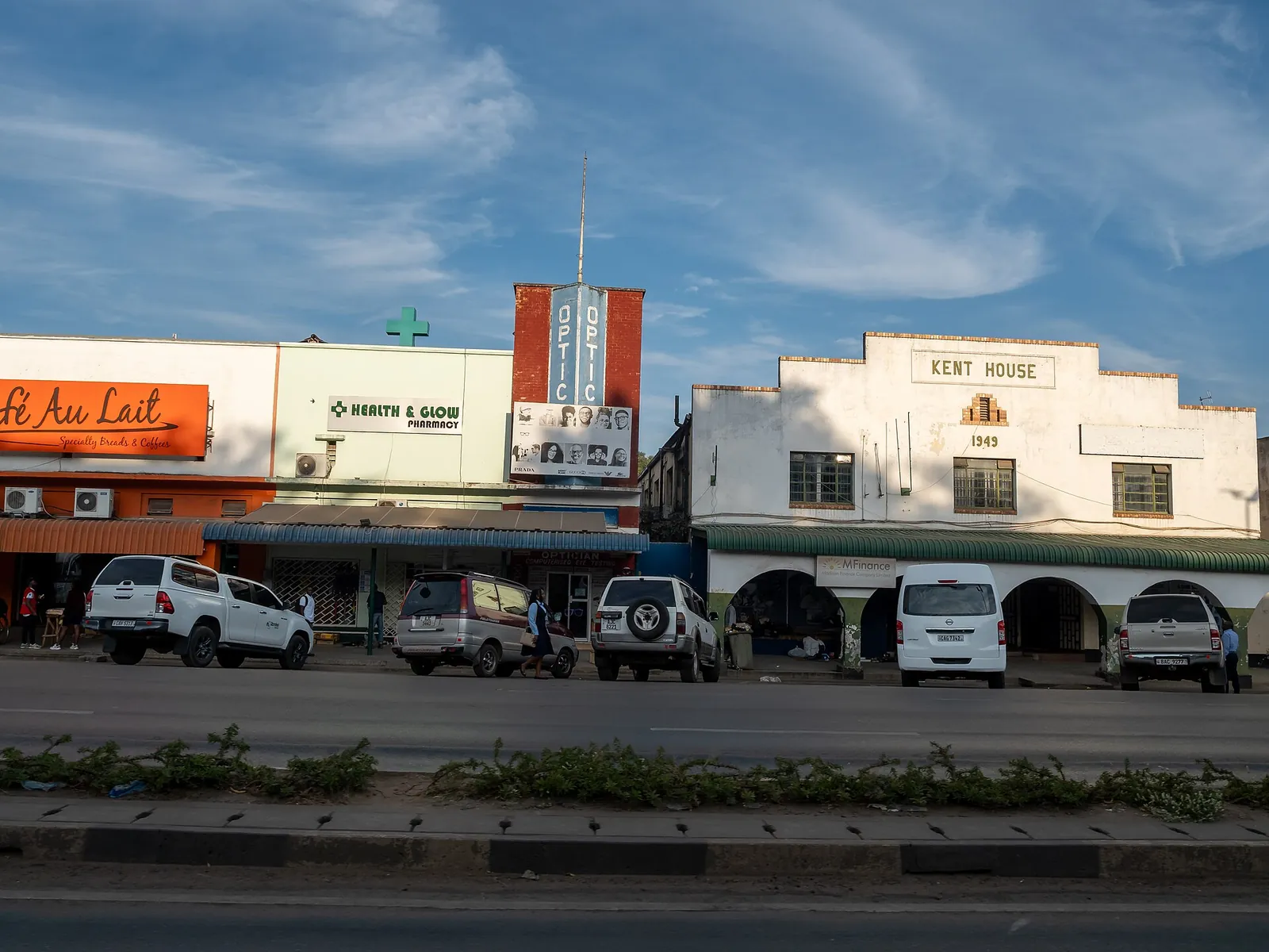
Mosi-oa-Tunya Road in Livingstone with the white Kent House of 1949 and shops, parked cars in front
Photo: Matti Blume ↗ · CC BY-SA 4.0 ↗

Surroundings · Town, Zambia

Livingstone

Base on the Zambian side, around the former capital of Northern Rhodesia.

Where to stay: Victoria Falls Town, Livingstone or Zambezi National Park

Livingstone in Zambia

Livingstone was the capital of what was then Northern Rhodesia from 1907 to 1935 and is now the base on the Zambian side.

ZimParks: management plan for Zambezi and Victoria Falls National Parks 2024–2034 (PDF) ↗

Guided from here · Ad

Partner links: we may earn a commission if you book – at no extra cost to you. Thank you for supporting the atlas. Dates and prices with the provider.

Open in OpenStreetMap ↗Location source ↗

-17.85314, 25.86143

Locations verified from the linked original sources and OpenStreetMap. The map shows no trails or park boundaries; markers do not imply that access is permitted.

Map: © OpenStreetMap contributors, OpenMapTiles, OpenFreeMap. Elevation: Terrain Tiles (Mapzen, AWS Open Data); 3DEP, GMTED2010 and SRTM courtesy of the U.S. Geological Survey; EU-DEM (Copernicus, European Union); ETOPO1 (NOAA); ArcticDEM (NSF, DigitalGlobe); Geoscience Australia; Open Data Austria (DGM); Open Government Licence – Canada; INEGI; Land Information New Zealand; Kartverket; Environment Agency (UK).

Park photo: Photo: Diego Delso ↗ · CC BY-SA 4.0 ↗

Loading map …