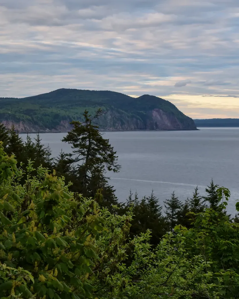


Fundy National Park: landscape and origins
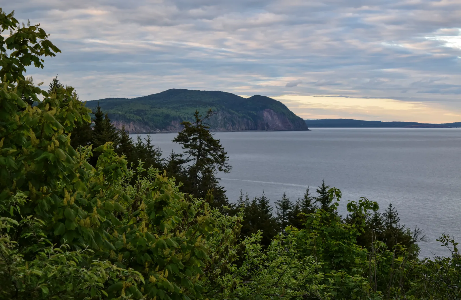
Fundy protects 20 kilometres (12 mi) of coast on the Bay of Fundy, where the highest tides in the world roll in: twice a day a difference of up to twelve metres (39 ft), as much as the height of a four-storey building.
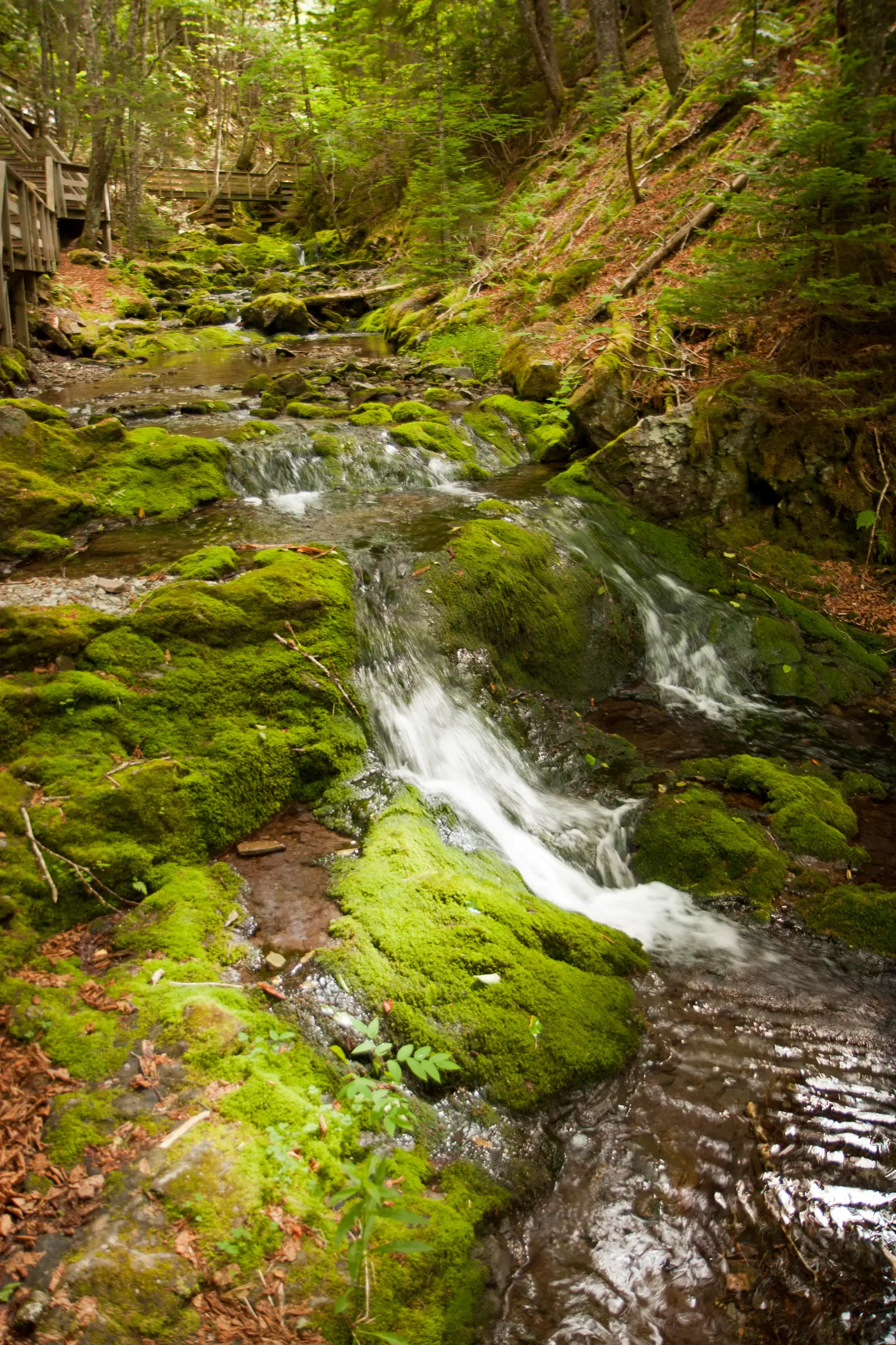
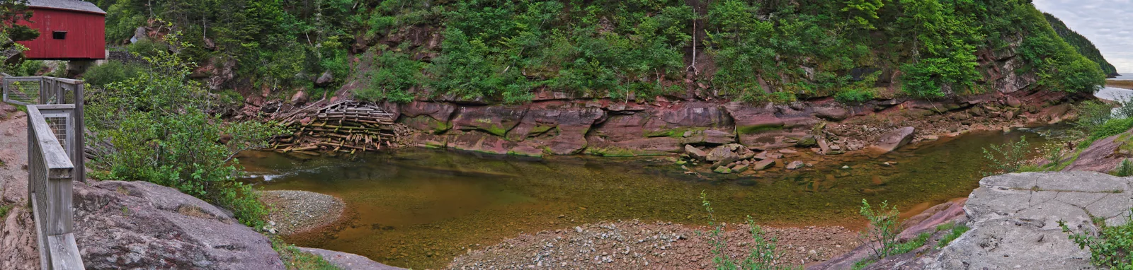
The park has two major systems: the tidal coast and the plateau of the Caledonia Highlands, which rises 300 metres (984 ft) right behind the coast and is part of the Appalachian Mountains. Deep river valleys cut into the plateau, holding more than 25 waterfalls.
Between the two lie 207 square kilometres (80 sq mi) of Acadian mixed forest, crossed by more than 100 kilometres (62 mi) of hiking and biking trails. Fundy marks the transition zone between the purely coniferous boreal forest to the north and the broadleaf-dominated forest to the south.
In 1948 this area near the village of Alma was declared New Brunswick’s first national park, explicitly to boost the economy and preserve the landscape. Since then the park authority has reversed damage from logging and dams and reconnected waterways.
Fundy is the core area of the Fundy Biosphere Reserve and is designated a Dark-Sky Preserve by the Royal Astronomical Society of Canada.
The park lies on the unceded territory of the Mi'gmaq; Parks Canada manages its places in New Brunswick on the ancestral territories of the Mi'kmaq, Wolastoqiyik and Peskotomuhkati.
Nature: tides, area and habitats ↗
The park in numbers
- Established
- 1948, New Brunswick’s first national park
- Area
- 207 km² (80 sq mi)
- Coast
- 20 km (12 mi) on the Bay of Fundy
- Tidal range
- up to 12 metres (39 ft) and more, twice a day
- Trails
- over 100 km (62 mi)
- Waterfalls
- over 25
- Caledonia Highlands
- rise 300 m (984 ft) right behind the coast
- Natural region
- Maritime Acadian Highlands
- Designations
- Core area of the Fundy Biosphere Reserve, RASC Dark-Sky Preserve
- Traditional territory
- Mi'gmaq; in New Brunswick Mi'kmaq, Wolastoqiyik and Peskotomuhkati