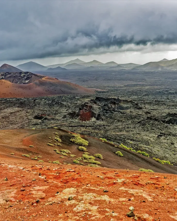


The park you see from the bus
Five ways in, one of them unguided, and a ticket sold only online and only for a time slot: Timanfaya according to the park authority and the operator.
Timanfaya covers 5,107 hectares in the west of Lanzarote, the core of the 1730 to 1736 eruptions, which buried a quarter of Lanzarote; a second phase followed in 1824. You may enter the interior only on the operator's bus, on a camel or on a walk guided by the park authority.
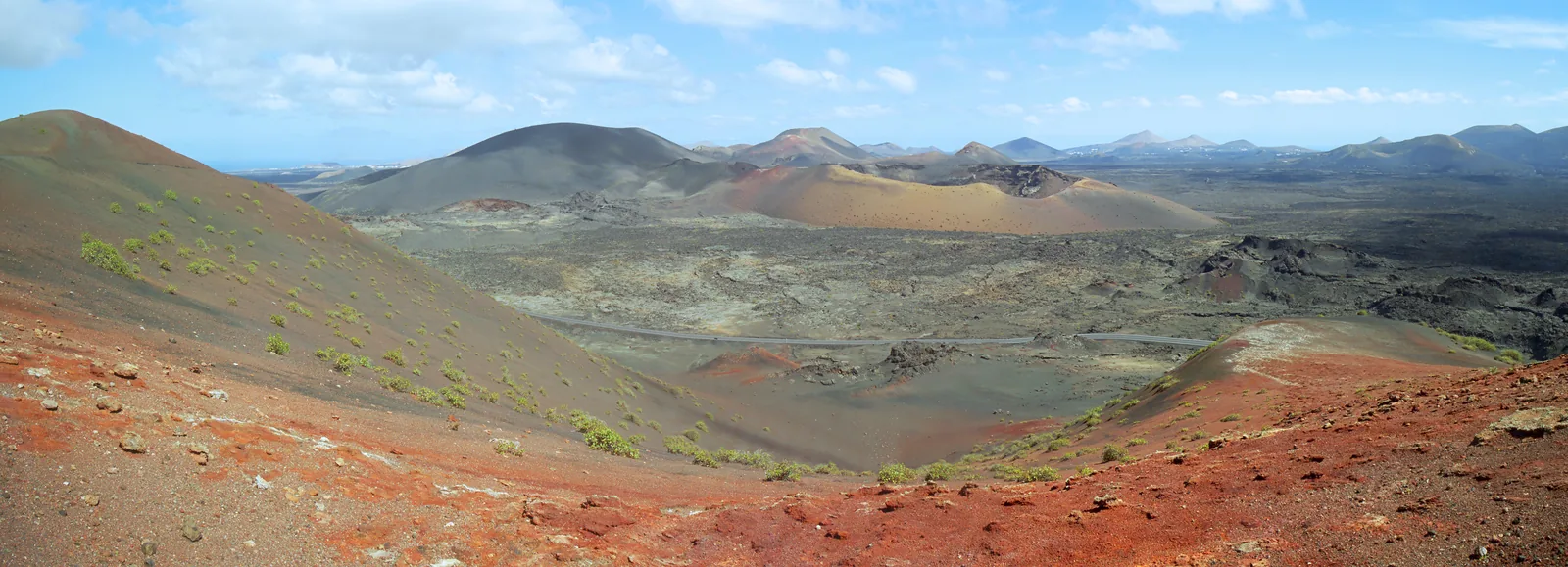
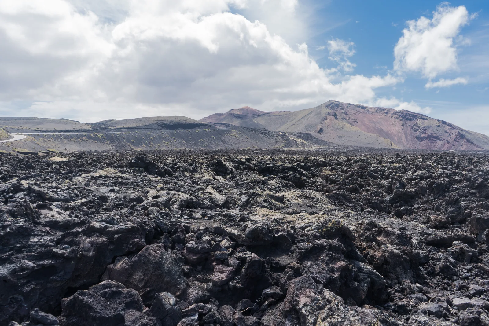
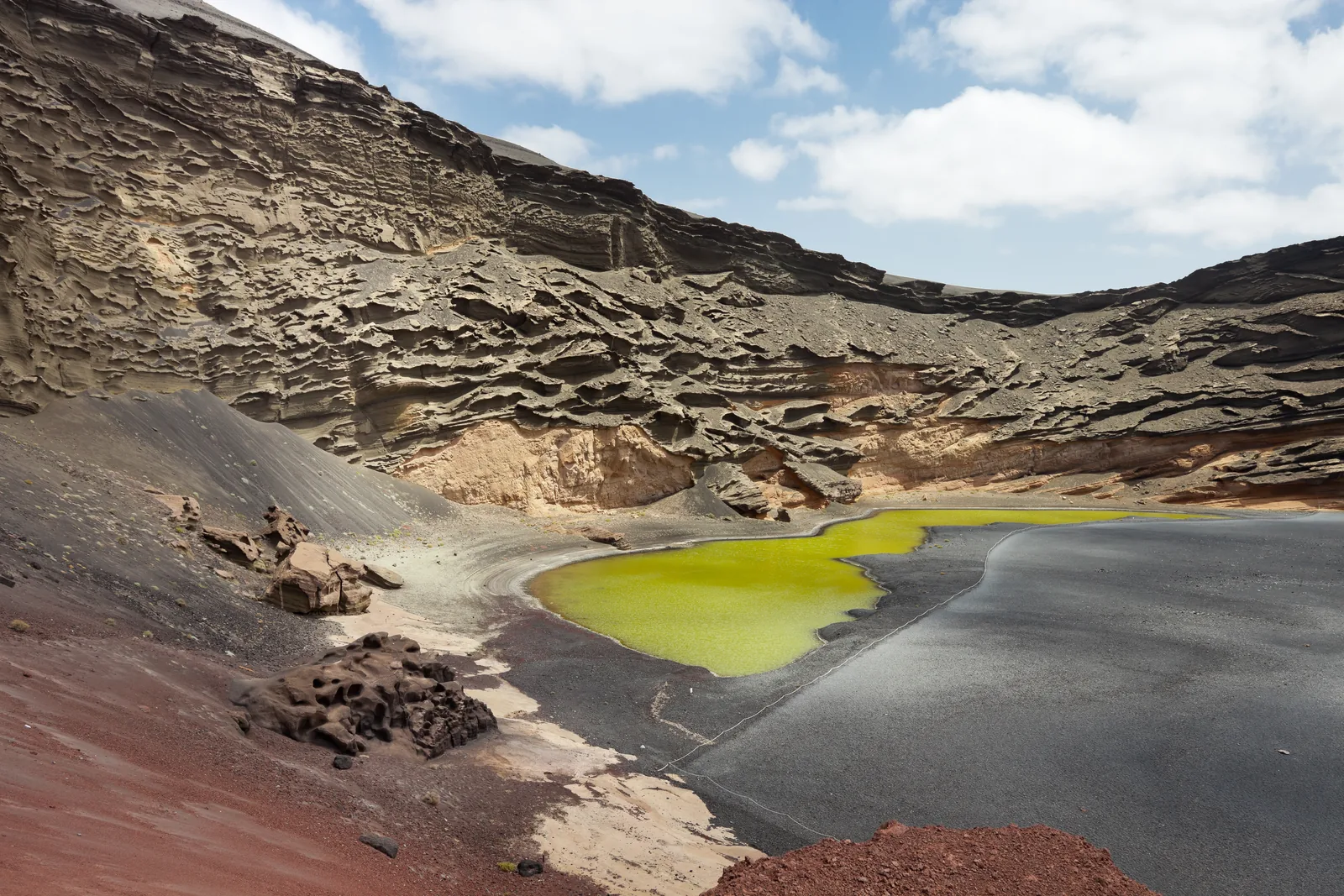
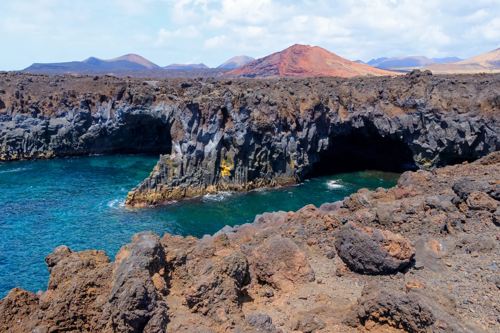
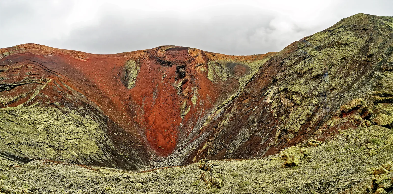
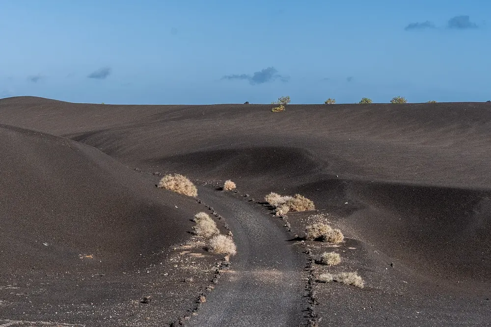
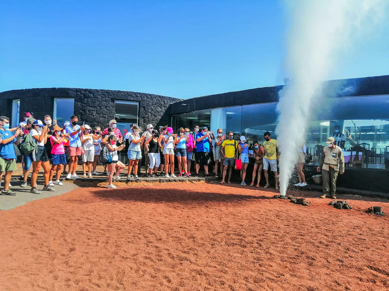
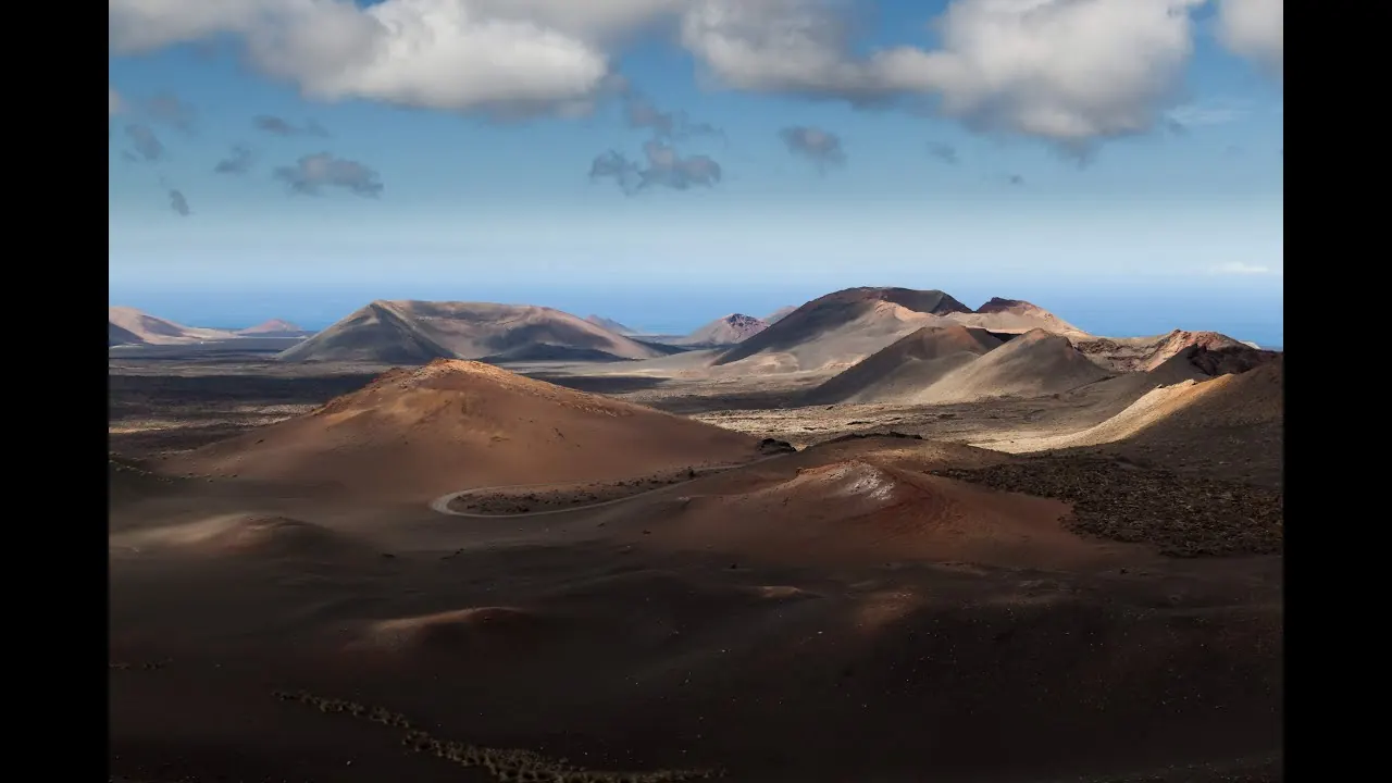
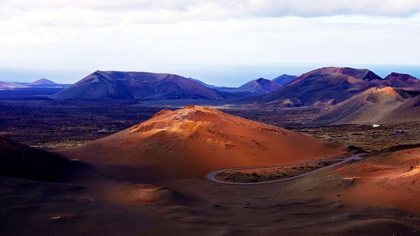
The park authority, since 2010 the Canary Islands Government alone, describes Timanfaya as an eminently geological park: cones, calderas, lava flows of both types, malpaís and the geothermal anomalies that still set brushwood alight and drive water out of the ground as steam. The Montañas del Fuego with their 25 craters are the core of the eruptions. Around them lies what the lava left behind: islands of old land where seabirds breed, and a coastline that makes Timanfaya the only Canary Islands park with a marine area.
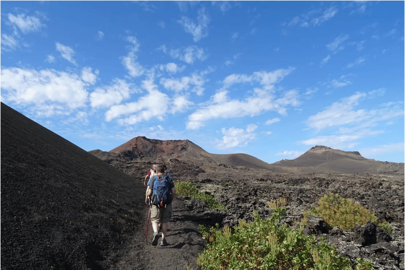
Visits are regulated more tightly than in almost any other park. You ride the Ruta de los Volcanes on the Cabildo's bus; the ticket costs €30, is sold only online and only for a time slot, and from the El Taro checkpoint to Islote de Hilario everyone stays in their vehicle. The park authority itself runs two guided walks, free, for up to eight people, aged 16 and over, booked through the central booking office of the Spanish national parks, which releases dates one month ahead. The only trail open without a guide is the long coastal path from Playa de la Madera to El Golfo.
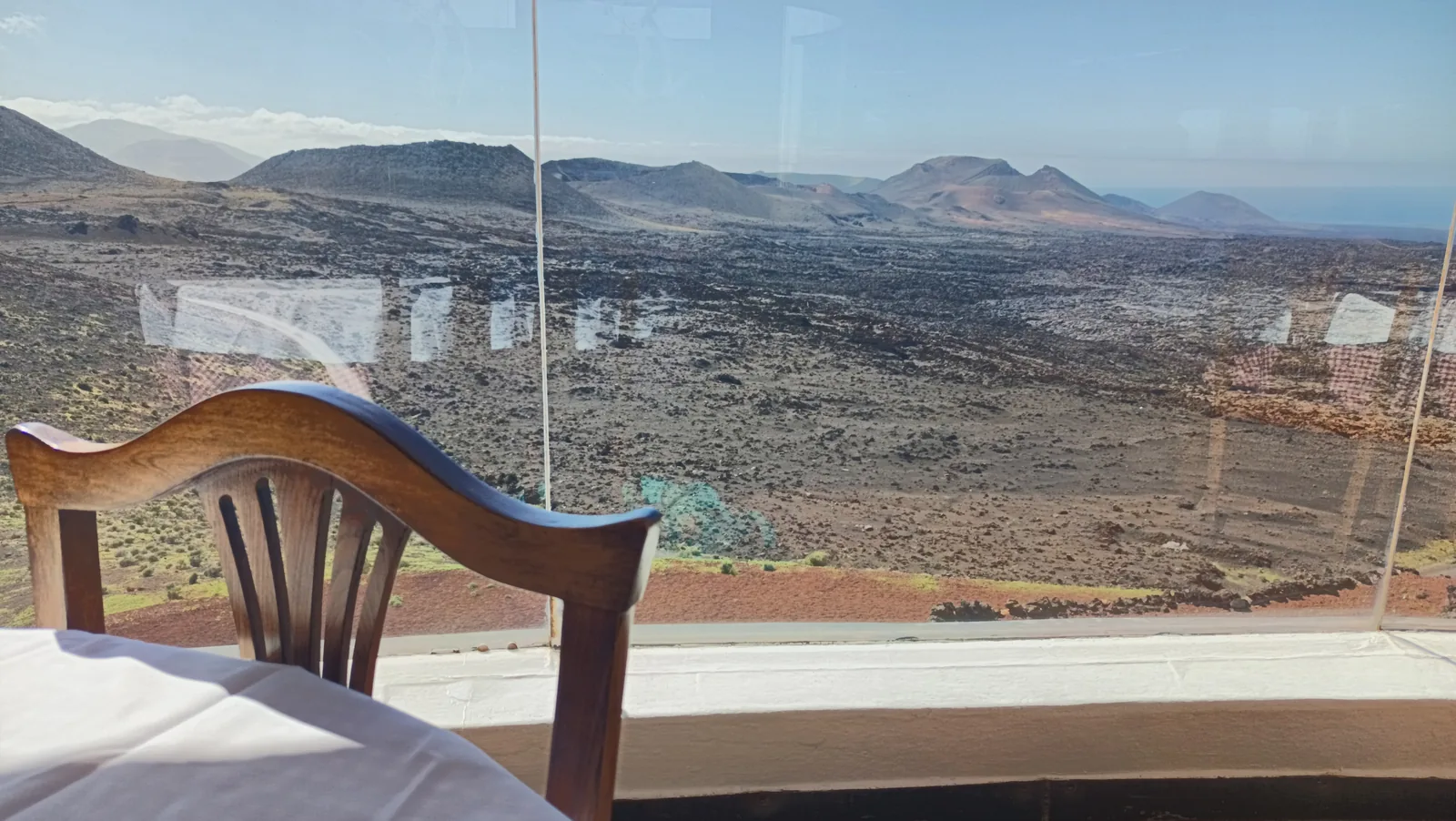
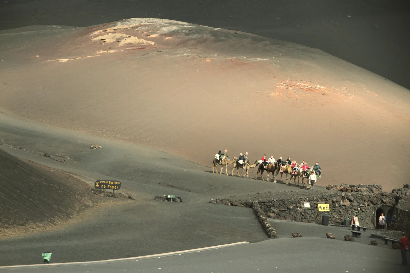
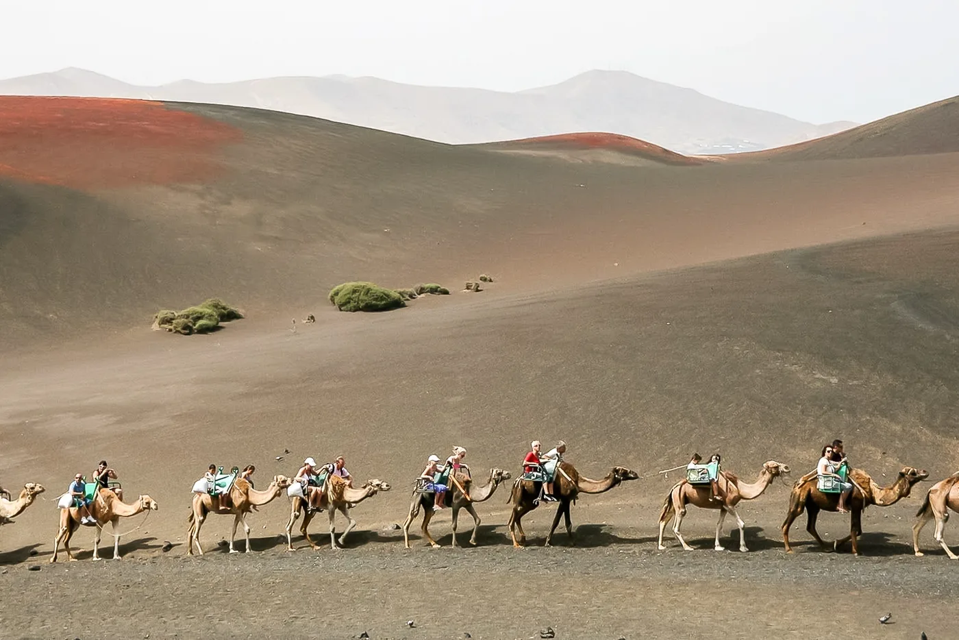
Where the operator and the park authority disagree, we give both: 12 or 14 km (7.5 or 8.7 mi) of bus route, 45 or 35 minutes, 9:00 to 17:00 or 9:30 to 15:45, 1824 or 1821 for the second eruptive phase. The island has been a biosphere reserve since 1993, the park a Special Protection Area for birds since 1994. What came out of the disaster you can see from the bus: the vineyards of La Geria in the ash, the fig walls in the park and the camels that once worked the fields and now carry visitors.
Park authority: Technical data ↗
The park in numbers
- Area
- 5,107 hectares, around 51 km² (20 sq mi)
- Municipalities
- Tinajo and Yaiza, island of Lanzarote
- National park since
- 9 August 1974, reclassified 25 March 1981
- Eruptions
- 1730 to 1736; second phase 1824 (one page says 1821)
- Craters of the Montañas del Fuego
- 25 according to the park authority, “more than 25” according to the operator
- Geothermal heat
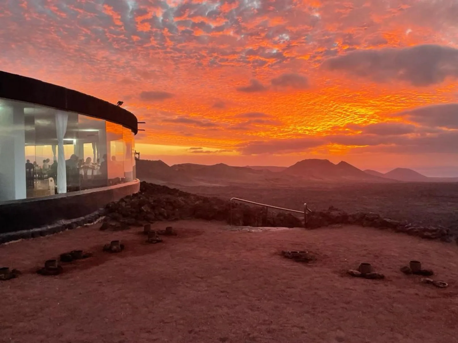
- up to 610 °C (1,130 °F) at 13 m (43 ft) depth; around 250 °C (482 °F) in the restaurant's 5 m (16 ft) shaft
- Montañas del Fuego
- €30 adults, €15 children aged 7 to 12, online only with a time slot
- Guided walks
- Tremesana and coast free, max. 8 people, aged 16 and over
- Biosphere reserve
- all of Lanzarote since 1993; Special Protection Area for birds since 1994