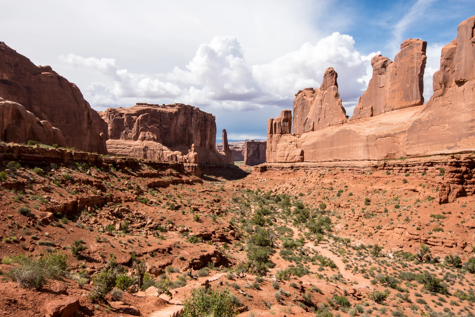
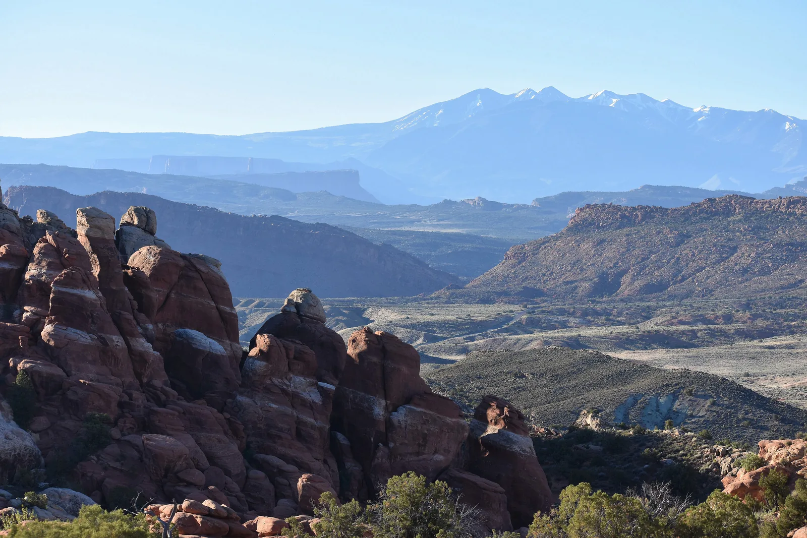
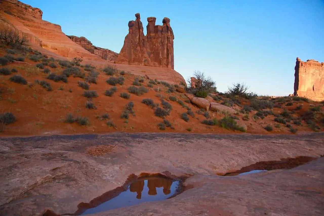
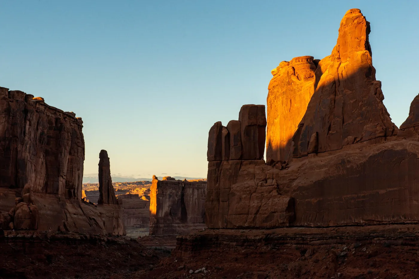
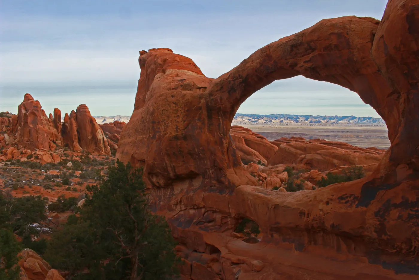
More than 2,000 arches packed into a small area, and none of them lasts for ever: Wall Arch collapsed in 2008, and Landscape Arch lost a large slab in 1991.
More than 2,000 arches in 310 square kilometres (120 sq mi): the densest concentration of natural stone arches in the world. That is no accident but the result of four conditions that happen to come together here.
About 65 million years ago this was a dry sea floor. The rock that the arches are made of today lay thousands of feet deep. Then the ground folded, the region rose from sea level to its present height, and erosion stripped away layer after layer.
The key is a layer of salt deep below the surface. Squeezed by the weight of the rock, it bulged up into long domes. The layers above had to crack, along almost parallel lines, like the crust of freshly baked bread. These cracks set the pattern from which the rock fins, and later the arches, formed.
Then it comes down to the amount of water. The Entrada Sandstone is porous, while the Carmel Formation of sand and clay below it holds water back. Rainwater seeps in, collects and slowly dissolves the lime that holds the sand grains together: the rock weathers from the inside. In winter, water freezes in the cracks and breaks off chunks. With much more precipitation the sandstone would crumble too quickly for arches to form; with much less, erosion would come to a standstill.
An opening of at least one metre (3 ft) in any direction counts as an arch in the park. There is no minimum width, which is why many of the more than 2,000 arches are so narrow that you have to press your cheek to the rock to see light through them. “Windows” are simply especially large arches or ones that frame a view; natural bridges, by contrast, span a watercourse and are almost absent here.
There is another reason why so many arches stand at the same time: earthquakes are rare in this area. Even so, none of them is permanent. In August 2008 Wall Arch collapsed, and in 1991 a large slab broke off Landscape Arch; the trail beneath it has been closed ever since.
Visiting Arches: the timed entry ticket is gone, the queue is not
01
No more timed entry ticket
There is currently no timed entry ticket. In the past you needed a booked time slot to drive in during the day in the main season. At present the park authority does not list such a ticket: neither the fees page nor the traffic page mentions a reservation, and Recreation.gov offers no entry ticket for Arches. Many older travel guides still describe the old system.
When the car parks are full, the park authority holds vehicles at the entrance until space frees up. These closures last three to five hours. Waiting by the road or at the park entrance sign is explicitly prohibited: you have to leave and try again later.
The park authority itself recommends these two windows. The peak is between 8:00 and 15:00 from March to October. In summer the trailhead car parks are often full by 7:30.
The park authority runs cameras at the entrance. If you stay in Moab, you can check them before you set off to see whether a queue has formed; this is the only reliable real-time indicator.
There is no fuel station in the park. Drinking water is only available at the visitor centre and at Devils Garden Campground. The park authority advises two to three litres per person for a hike in the front section of the park.
„Landscape Arch lost a large slab in 1991. The trail beneath it has been closed ever since.“
Arches National Park · Landscape Arch in Devils Garden
Hikes & routes: what you can manage in one day
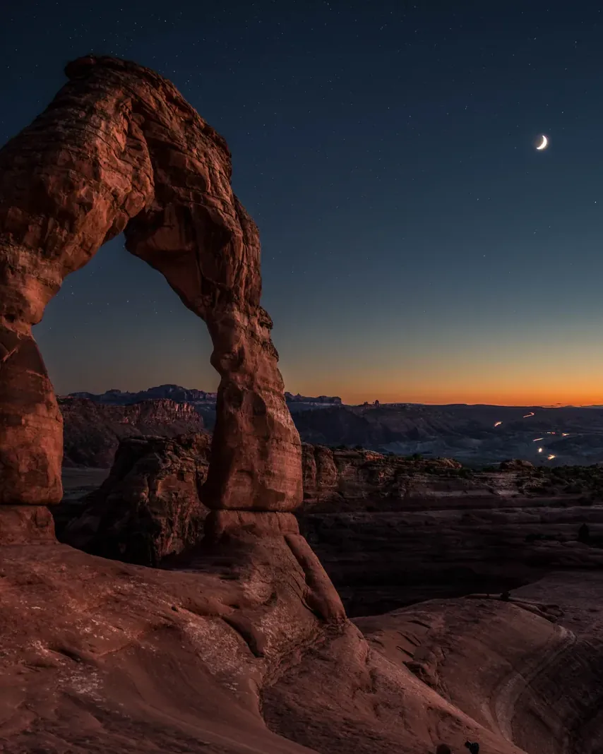
Delicate Arch
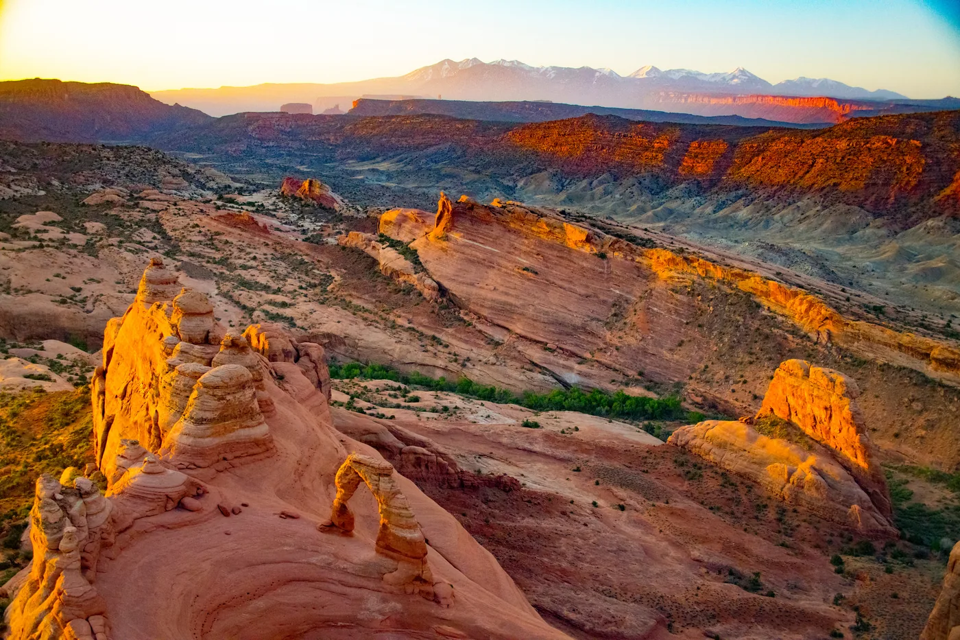
The best-known arch in the park, 20 metres (66 ft) high and free-standing. The trail crosses open slickrock with no shade and no continuous markings; you follow cairns. If you do not want to make the climb, drive one mile (1.6 km) further to the viewpoint.
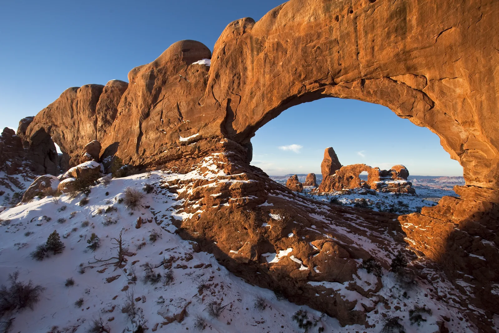
Four large arches on short, easy trails: North and South Window, Turret Arch and, a few minutes further on, Double Arch. The densest spot in the park, and the best choice if time is short.
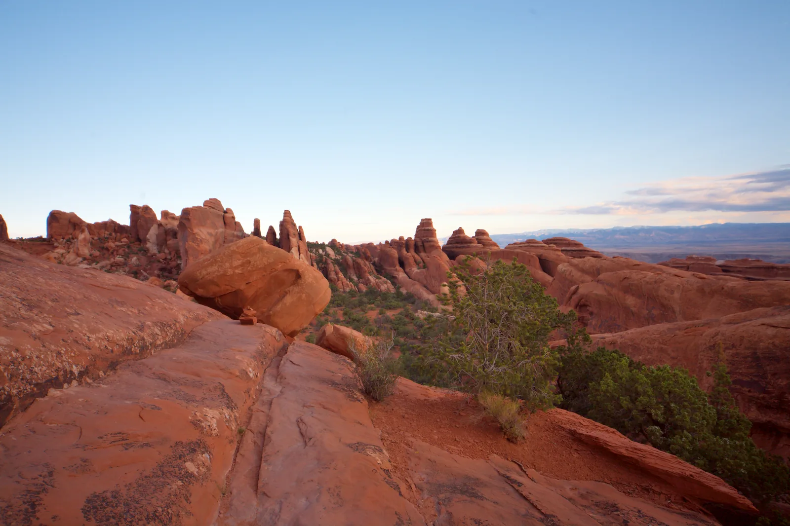
At the end of the road. As far as Landscape Arch it is easy; beyond that the primitive loop begins, with scrambling over open slickrock. Wall Arch also stood here until 2008.
A maze of rock passages with no markings. Entry is only allowed with a permit or with a ranger; the park authority requires you to watch its own video first. The viewpoint next to it is open to everyone.
Climbing, scrambling, walking or standing on an arch, and rappelling from one, are prohibited throughout the park. This also applies to an arch with nobody underneath it.
The black, crusty ground between the rocks is a living biological soil crust. Once trampled, it takes decades to recover. You may walk on trails, on bare rock and in sandy washes.
Canyon Country River Adventures · Guided drive · 4 hours
Arches National Park: Sunset Tour from Moab
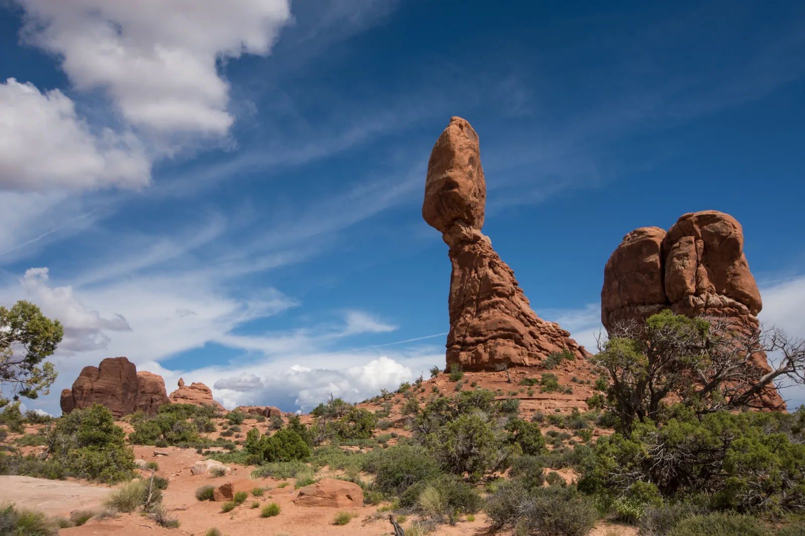
Four hours in a vehicle with extra-tall windows, with short guided walks at North and South Window, Turret Arch and the Delicate Arch Overlook. On the way, stops at Balanced Rock and the Courthouse Towers.
4 hours
Starts at the Moab Adventure Center
Water and snacks included
Short walks, manageable for most people
Departure Moab Adventure Center, Moab.
Park admission is not in the list of inclusions, which covers guide, transport, water and snacks. Arches charges no surcharge for people without US residence, so only the regular fee applies. The practical advantage lies elsewhere: the provider drives, and you do not have to hunt for parking. Guided in English. Cancellation up to 24 hours in advance.
View tour ↗Ad · partner link · checked 25 Sep 2026
Provider's product photo · GetYourGuide
Moab dark sky tours · Night walk · 2 hours
Arches: Stargazing Walk and Astrophotography at the Windows
Two hours after dark at North and South Window, Turret Arch and Double Arch, with an introduction to astrophotography. The provider supplies red head torches and tripods.
2 hours
Maximum 6 participants
Red head torches and tripods provided
Camera and lens available to hire
Departure Meeting point after dark at a car park inside the park.
Park admission is not in the list of inclusions; the tour starts inside the park, so you need your pass. Included are the guide, the walk, red LED head torches and tripods if needed. A DSLR camera or a lens can be hired for an extra charge. Guided in English. Choose a date with little moonlight: at full moon the Milky Way cannot be seen here either. Cancellation up to 24 hours in advance.
View tour ↗Ad · partner link · checked 25 Sep 2026
Provider's product photo · GetYourGuide
Canyon Footprints · Private hike · 4 hours
Moab: Arches National Park Private Hiking Tour
A hiking guide picks up your own group in Moab and builds the day around your wishes: Park Avenue, Balanced Rock, the Windows with Double Arch, the trail to Delicate Arch, Sand Dune Arch and Devils Garden. Along the way the guide covers the park's geology, ecology and history.
4 hours
Private group, pickup in Moab
Hikes of your choice, up to Delicate Arch
Park admission not included
Departure Pickup at your accommodation in Moab or a place of your choosing, return to Moab.
Included are pickup, a guide trained in wilderness first aid, water refills and educational material. Not included are park admission and your own water bottle; according to the provider, every guest on a commercial tour needs a park pass or pays 15 $ admission per person. All hikes are optional and not all of them fit into four hours: the provider allows 105 minutes for Delicate Arch alone. Bring hiking shoes, sun protection and food; not suitable for people with heart problems. Guided in English. Cancellation up to 24 hours in advance.
Redtail Air Adventures · Scenic flight · 30 minutes
Moab: Arches National Park Airplane Tour
Half an hour in a small plane over the park, with views of Delicate Arch, North and South Window, Elephant Butte, Fiery Furnace, Devils Garden and Navajo Arch. The flight then follows the Colorado River to the Fisher Towers, which lie outside the park. Every guest has a window seat, and the pilot narrates over headsets.
30 minutes
Departs from Canyonlands Field airport north of Moab
Window seat for every guest
Arrange your own transport to the airport
Departure Canyonlands Field Airport (KCNY), 94 W Aviation Way, north of Moab.
Included are a narrating pilot, a window seat and headsets. Not included are hotel transfers, food and drinks, and gratuities. The flight operates from two passengers; single bookings may be cancelled or moved to another flight, and weather can also postpone it. Children under 2 years fly on a lap; child seats are not allowed. Bring photo ID. Contradiction disclosed: the product page lists the flight as wheelchair accessible and at the same time as not suitable for people with mobility impairments; check with the provider before booking. Commentary in English. Cancellation up to 24 hours in advance.
Redtail Air Adventures · Scenic flight · 80 minutes
Moab: Canyonlands + Arches National Park Airplane Tour
Eighty minutes in a small plane from Canyonlands Field, covering Arches and neighbouring Canyonlands National Park. The focus is on Canyonlands: the product page names Upheaval Dome, White Rim and The Maze as highlights; for Arches it only says the flight passes over the park and names no individual arches. If you mainly want to see Arches from above, the same provider's half-hour Arches flight is the better choice.
80 minutes
Departs from Canyonlands Field airport north of Moab
Route mostly over Canyonlands
Maximum 9 participants
Departure Canyonlands Field Airport, 94 W Aviation Way, north of Moab.
Included are a pilot guide, headsets and a window seat for every guest. Not included are pickup and drop-off, food and drinks, and gratuities. The flight operates from two passengers; single bookings may be cancelled or changed, and the provider can cancel or change the flight at any time. Children under 2 years fly on a lap; child seats are not allowed. Bring ID and a jacket; not suitable for people with mobility impairments. Commentary in English. Cancellation up to 24 hours in advance.
Arches park authority (National Park Service) · Ranger hike · Fiery Furnace
Ranger-guided hike through the Fiery Furnace
The only ways into this maze of sandstone fins are a ranger-guided hike or an individual permit. The hike takes two and a half hours over about 2 miles: scrambling with hands and feet, narrow ledges above drop-offs, gaps to jump across and loose sand. Once inside, everyone completes the loop.
2.5 hours, about 2 miles
Spring to autumn
Tickets in advance on Recreation.gov, up to 7 days ahead
16 $ per person, ages 5 and up
Meeting point Fiery Furnace Viewpoint on the park road, about 15 miles past the visitor centre; arrive 10 minutes before the start. Collect the ticket at the visitor centre beforehand.
Fee according to the park authority: 16 $ per person. There are no walk-up tickets; the Recreation.gov reservation is not the ticket, which has to be collected in person at the visitor centre on the day before or the day of the hike, at the pickup times listed on Recreation.gov. Late arrivals lose their place without a refund. Children under 5 years are not allowed, and children up to 12 years must be accompanied by an adult. Required: sturdy hiking shoes with grippy soles, at least 1 litre of water per person and a backpack to keep your hands free. Thunderstorms or flooding can cancel the hike. According to the park authority, commercial groups are not allowed in the Fiery Furnace; without a ranger, the only way in is the individual permit with its mandatory video.
Park authority page ↗Park authority programme · no partner link · checked 2 Oct 2026
A hole must have an opening of at least one metre (3 ft) in some direction to be listed as an arch in the park. There is no minimum width; some are so narrow that you have to press your cheek to the rock to see light through them.
Deep below the surface lies a thick layer of salt. Under the weight of the rock it bulged up into domes, and the layers above cracked along almost parallel lines, like the crust of freshly baked bread.
The park receives 18 to 23 centimetres of precipitation a year. That sounds like little, but it is enough: water seeps into the porous Entrada Sandstone, is stopped by the Carmel layer below and dissolves the lime that binds the sand grains together. In winter, freezing water splits the rock apart. With more rain the sandstone would crumble too quickly; with less, erosion would come to a standstill.
In August 2008 Wall Arch collapsed beside the Devils Garden trail. In 1991 a large slab broke off Landscape Arch; the trail beneath it has been closed ever since. The same forces that created the arches keep widening them until they fall.
A natural bridge spans a watercourse or a former riverbed. There are hardly any in Arches National Park; the examples stand two hours’ drive south in Natural Bridges National Monument.
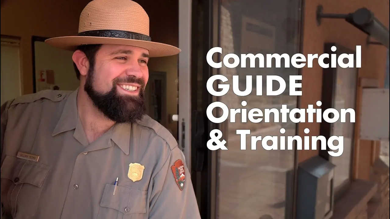
Just over six minutes from the park authority’s channel: the orientation film otherwise shown at the visitor centre, covering behaviour in the park, soil crusts, heat, water and the rules at the arches. It applies to Arches and Canyonlands alike. In English.
Nothing saved yet. Every place card has a pin, and so does every place on the Map. What you save collects here, with days, notes and a preview you can share.
Reality check
Share
The plan is stored in the link itself. Anyone who opens it sees the preview and can use the plan.
Image for your phone, with stops and map.
01Best time to visit: over 38 °C (100 °F) in summer, empty in winter
The park is open 24 hours a day, all year.
Spring and autumn
The most pleasant temperatures, and also the busier months. The main season runs from March to October; ranger programmes only take place during this period.
Between April and September temperatures regularly exceed 38 °C (100 °F), and in July and August they are often above 38 °C. There is almost no shade. The park authority recommends two to three litres of water per person and advises using the midday hours for short walks or the visitor centre.
Highs of around −1 to 10 °C (30 to 50 °F), no ranger programmes, but no queues either. The visitor centre is open daily except on 25 December. Snow on red sandstone is a sight few visitors ever see.
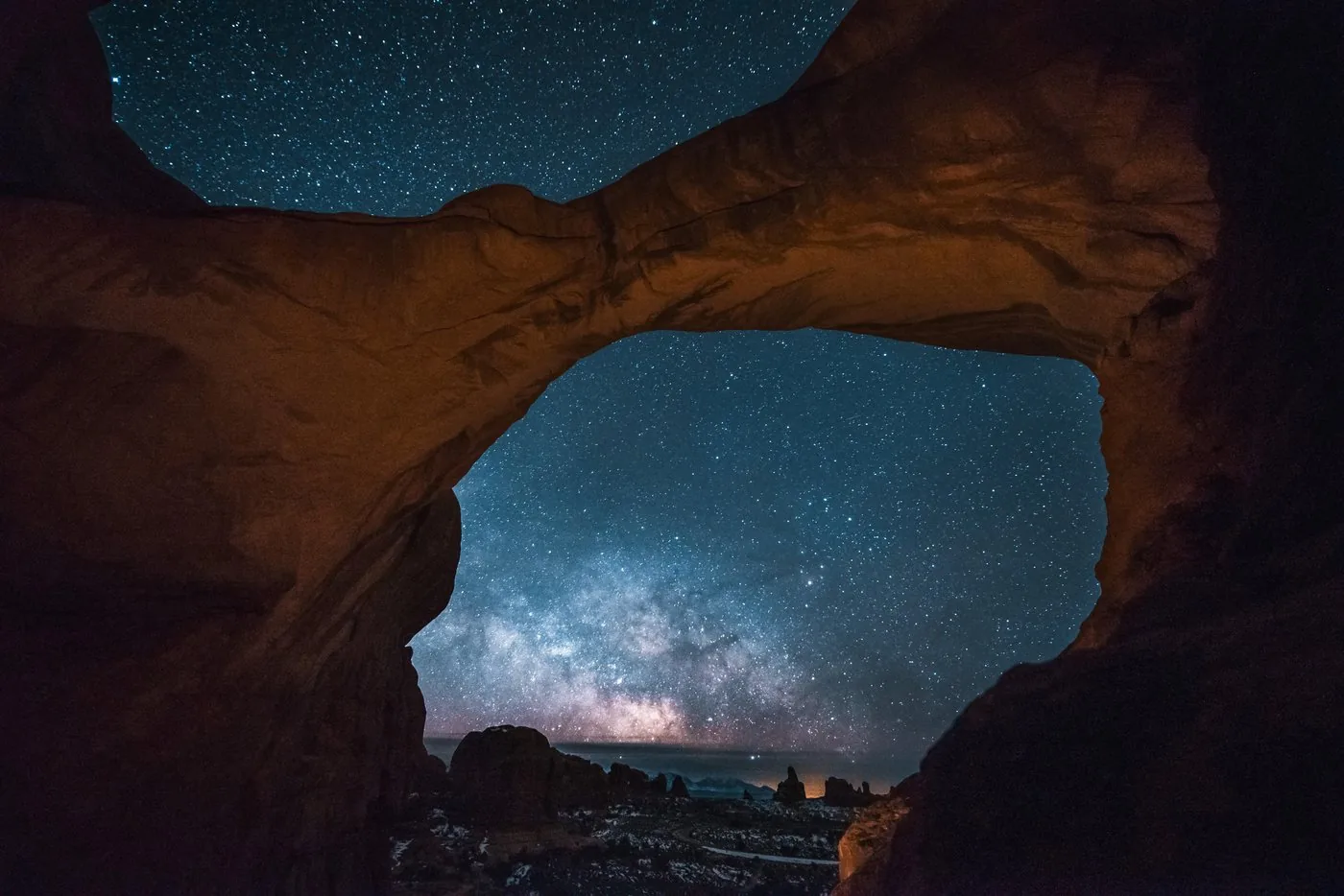
Arches has been certified as an International Dark Sky Park since 2019. In good conditions you can see around 2,500 stars with the naked eye; binoculars show Saturn’s rings. It is darkest at new moon.
For crowds, the time of day matters more than the month. Early morning and late afternoon are not only quieter but also better for photography: low light on red sandstone.
Best months by the climate data: April and May and September and October. Average daytime highs of 17 to 26 °C, lows of 2 to 12 °C, 22 to 34 mm of precipitation a month. The hottest month is July, with average highs of 33 °C.
−10°0°10°20°30°
Jan4−6
Feb6−4
Mar12−1
Apr172
May227
Jun3013
Jul3318
Aug3116
Sep2612
Oct184
Nov11−1
Dec4−6
High °CLow °C
Daily highDaily lowPrecipitation
All monthly values as a table
Monthly averages 2001–2020, NASA POWER model
Month
High °C
Low °C
Precipitation mm
January
4.0
−5.9
23
February
6.3
−4.5
23
March
12.1
−1.1
24
April
16.6
1.8
22
May
22.5
7.0
23
June
30.2
13.2
12
July
33.2
17.8
31
August
30.8
16.3
31
September
26.3
11.7
34
October
18.0
4.3
31
November
10.7
−1.2
21
December
3.8
−5.8
27
Year
302
Modelled values, not a weather station: NASA POWER (MERRA-2) for a grid cell of about 55 × 55 km around the map point Fiery Furnace Viewpoint (38.74° N, 109.56° W), with an average cell elevation of about 1,820 m. Averages for 2001–2020. Higher ground and valleys can differ markedly.
02How to get there: five miles (8 km) north of Moab
One entrance, one road, no alternative.
By car
The only entrance is on US 191, five miles (8 km) north of Moab. From Interstate 70 at Crescent Junction it is 22 miles (35 km) south. Salt Lake City is 236 miles (380 km) away, Denver 360 (579 km), Grand Junction 110 (177 km).
Canyonlands Field (CNY) is eleven miles (18 km) from the park entrance but has little traffic. Grand Junction (GJT, 109 miles / 175 km) and Salt Lake City (SLC, 230 miles / 370 km) are more practical.
Amtrak’s California Zephyr stops in Green River, Utah (45 miles / 72 km) and Grand Junction (109 miles / 175 km). From there, continue by hire car, shuttle or taxi; there is no public transport in the park itself.
The scenic drive ends at Devils Garden. Balanced Rock is 9.2 miles (14.8 km) and 15 to 20 minutes away, the Windows 12 miles (19 km), the Delicate Arch trailhead 13.2 miles (21.2 km) and Devils Garden 18 miles (29 km) and 40 to 45 minutes.
There is no shuttle and no public transport in the park. If you arrive without a car, you depend on a guided tour, a taxi from Moab or a bike. Cycling is only allowed on the road, not on trails.
Parking at Delicate Arch, the Windows and Devils Garden
According to the park, the parking lots at these trailheads and viewpoints are usually full for much of the day. Park in designated areas only, never on vegetation or in a way that blocks traffic. If a lot is full, do not wait for a space to open: move on and try again later.
Parking for oversize vehicles such as RVs and trailers is extremely limited in the park; rangers advise leaving them in Moab or in the visitor center parking lot. Instead of a park shuttle, they suggest carpooling or hiring a private shuttle company. In Moab, radio 1610 AM broadcasts information about entering the park.
Nine hours in an off-road vehicle over the Shafer Trail in the Island in the Sky district and on into Arches National Park, with stops at viewpoints, rock arches and dinosaur tracks.
Departure Departs from Moab.
Included are the vehicle, driver, guiding and lunch with drinks. The provider advertises a separate access route into Arches. The park authority says nothing about this: it refers to the unpaved access roads in the north-west of the park, which an ordinary hire car may not use. Entry to both parks is not in the list of inclusions. Guided in English. Cancellation up to 24 hours in advance.
View tour ↗Ad · partner link · checked 25 Sep 2026
Ad · we may earn a commission if you book through this partner link. Offer details checked 25 Sep 2026. See official ticket information.
03Tickets & entrance fees: $30 per car, and no surcharge for foreign visitors
Arches is not on the list of eleven parks with a surcharge for visitors from abroad.
A private vehicle with up to 15 seats and everyone in it costs $30, a motorcycle $25 for seven days, and one person on foot or by bike $15. Children under 16 pay nothing. The entrance station accepts cards only.
Since 2026, eleven especially busy parks have charged an extra $100 per person without US residence: Acadia, Bryce Canyon, Everglades, Glacier, Grand Canyon, Grand Teton, Rocky Mountain, Sequoia & Kings Canyon, Yellowstone, Yosemite and Zion. Arches is not one of them. Visitors from abroad pay the same here as everyone else.
The regional annual pass is not for foreign visitors
For $55 there is an annual pass that covers Arches, Canyonlands and the Natural Bridges and Hovenweep national monuments. The park authority lists it as “U.S. residents only”, so travellers from outside the US cannot buy it.
The annual pass for people without US residence costs $250 and removes the $100 per person at the eleven surcharge parks. For Arches alone it does not pay off: $30 per car is hard to beat. But as soon as Zion, Bryce Canyon or Grand Canyon are on your route, the sums quickly change.
The only campground in the park, at the end of the road. From 1 March to 31 October it is reservation only, and during this period it is booked out practically every night. From November to February it is first come, first served; you then pay via the Recreation.gov app.
If you arrive without a booking, you have to camp outside the park. The first-come, first-served sites around Moab are often full by late morning in the main season.
The town lies five miles (8 km) south and is the practical base for both Arches and Canyonlands. From there it is ten minutes to the park entrance, plus waiting time at the gate.
Why there are hundreds of rescue operations here every year.
Hundreds of search operations a year
The park authority reports hundreds of search and rescue operations a year in Arches and Canyonlands. The most common causes are heat and sun, twisted knees or ankles, and getting lost.
Many routes cross bare rock and are only marked by cairns. If you lose sight of the line of cairns, you can quickly lose your bearings. This also applies to the Delicate Arch trail.
Drinking water is only available at the visitor centre and the campground. Two to three litres per person for the front section of the park, four litres or more in the backcountry. The park authority’s rule of thumb: when half your water is gone, half your hike is over.
The sandstone basins collect rainwater and are home to tiny organisms. Swimming, washing or drinking from them is prohibited; you should not step into dry basins either.
Carving, scratching, marking with chalk: any form of graffiti on the rock is prohibited and punishable. If you see it happening, report it to the park authority.
06Frequently asked questions: Arches National Park
Do I need a timed entry ticket for Arches?
Not at present. In the past a booked time slot was required in the main season; currently the park authority lists no such ticket. Neither the fees page nor the traffic page mentions a reservation, and Recreation.gov offers no entry ticket for Arches. Many older travel guides still describe the old rules.
The park authority then holds vehicles at the entrance until parking spaces free up. These closures last three to five hours. Waiting by the road or at the park entrance sign is prohibited: you have to leave and try again later. Once the park reopens, a queue forms immediately, and you can wait in it for up to an hour.
A vehicle with everyone in it costs $30, the same for visitors from abroad as for US citizens. Arches does not charge the $100 surcharge per person without US residence; it only applies at eleven other parks, including Zion, Bryce Canyon and Grand Canyon.
Before 8:00 or after 15:00: the park authority recommends this itself. From March to October the peak falls in between, and in summer the trailhead car parks are often full by 7:30. For crowds, the time of day matters more than the month.
It crosses open slickrock, has no shade and is only marked with cairns. Heat and getting lost are among the most common causes of the hundreds of rescue operations the park authority reports every year in Arches and Canyonlands. If you want to avoid the climb, drive one mile (1.6 km) further to Delicate Arch Viewpoint.
No. Climbing, scrambling, walking or standing on an arch, and rappelling from one, are prohibited throughout the park, even when nobody is standing underneath.
Only at Devils Garden Campground, the only one in the park. From 1 March to 31 October it is reservation only, and during this period it is booked out practically every night. From November to February it is first come, first served. There are no hotels or lodges in the park; if you are not camping, you stay in Moab.
Yes, if you do not mind the cold. Highs are between −1 and 10 °C (30 and 50 °F), there are no ranger programmes, but there are no queues either. The visitor centre is open daily except on 25 December.
Arches has been certified as an International Dark Sky Park since 2019. In good conditions you can see around 2,500 stars with the naked eye, and even Saturn’s rings with ordinary binoculars. It is darkest at new moon; allow 20 to 30 minutes for your eyes to adjust.
Which 11 national parks charge a $100 non-resident fee?
Acadia, Bryce Canyon, Everglades, Glacier, Grand Canyon, Grand Teton, Rocky Mountain, Sequoia & Kings Canyon, Yellowstone, Yosemite and Zion. Since 2026 these eleven parks have charged $100 extra per person without US residence. Arches is not one of them.
Yes. Visitors without US residence can buy the non-resident annual pass for $250; it removes the $100 per person surcharge at the eleven surcharge parks. For Arches alone it does not pay off, as the vehicle fee is $30. The $55 regional annual pass for Arches and Canyonlands, however, is for US residents only.
Researched 25 Sep 2026. Not a live status. Dates apply only to the year stated. A successful automatic fetch is not an editorial confirmation; outdated automatic values are hidden and replaced by the source link.