National Parks Atlas
MapPDF

01 · Canada · British Columbia · West coast of Vancouver Island

Pacific Rim National Park Reserve

Rainforest, surf and a long-distance trail born of shipwrecks. Three park units that are not connected.

Photo: Davidwegan ↗ · CC BY-SA 4.0 ↗

Pacific Rim National Park Reserve at a glance · PDF, 2 pages

Pacific Rim National Park Reserve: landscape and origins

Pacific Rim is not a single contiguous park but a reserve made up of three separate areas on the open Pacific coast of Vancouver Island, in the ḥaḥuułi, the ancestral territory of the Nuu-chah-nulth.

The Long Beach Unit between Ucluelet and Tofino is the only part you can reach by car and visit all year. It has the wide sandy beaches, the rainforest trails, the visitor centre and the only Parks Canada campground.

The Broken Group Islands in Barkley Sound can only be reached by water. The park authority explicitly advises against paddling on your own from Bamfield or Ucluelet because of the open crossings.

Finally, the West Coast Trail runs for 75 km (47 mi) between Pachena Bay and Gordon River: a multi-day backcountry route with ladders, cable cars and river crossings that can only be hiked from May to September.

The word “Reserve” in the name reflects an open legal question. Parks Canada itself states that the area was established without the involvement of the nations concerned and without recognition of their forms of government. The designation explicitly keeps open the possibility that Canada and the nations later change its boundaries through court decisions, treaties or agreements.

Today nine nations manage the reserve together with Parks Canada, through joint committees and decision-making tables. Management planning runs separately for each of the three units, and at a different pace.

Management planning and reserve status ↗

The park in numbers

Units
Three separate areas: Long Beach, Broken Group Islands, West Coast Trail
Location
West coast of Vancouver Island, British Columbia
Status
National park reserve; its boundaries can be changed through treaties and agreements
Traditional territory
ḥaḥuułi of the Nuu-chah-nulth; nine nations share in management
West Coast Trail
75 km (47 mi) from Pachena Bay to Gordon River, 6 to 8 days
ʔapsčiik t̓ašii
25 km (16 mi) multi-use pathway through the Long Beach Unit
Climate
around 330 cm (130 in) of precipitation a year, summer mean 14 °C (57 °F)
Backcountry season
1 May to 30 September

Visiting Pacific Rim: overview and planning

01

Three units that are not connected

The reserve consists of three separate areas: Long Beach between Ucluelet and Tofino, the Broken Group Islands in Barkley Sound and the West Coast Trail between Pachena Bay and Gordon River. You cannot combine them in one day: each unit has its own access, its own season and its own rules.

Park authority: Pacific Rim ↗

02

Long Beach is the unit for a normal visit

Only the Long Beach Unit can be reached by car and is open all year. The beach, rainforest trails, visitor centre and the only Parks Canada campground are here. If you arrive without days of planning, this is almost always the unit you mean.

Getting there and planning your visit ↗

03

National park reserve, not national park

The word “Reserve” is not a formality. Parks Canada itself states that the reserve was established without the involvement of the Nuu-chah-nulth nations; the designation keeps open the possibility that Canada and the nations change its boundaries through treaties and agreements. Today nine nations manage the area together with Parks Canada.

Management planning and reserve status ↗

04

Admission is tied to your vehicle

In the Long Beach Unit a valid park pass must be displayed in your vehicle as soon as you park it. For short beach visits there is a separate, cheaper four-hour rate at four designated parking lots.

Parks Canada: fees ↗

02 · Places

Map: places in the park

The map shows how far apart the three park units are. Every point is verified against an OpenStreetMap object.

Photo: ~jar{} ↗ · CC BY 2.0 ↗

Place in the park

Long Beach

The part of the reserve almost everyone means when they say “Pacific Rim”: a road right to the door, beach, rainforest and a pathway that runs through the whole unit without a climb.

Location
Between the communities of Ucluelet and Tofino.
Access
Highway 4 from Port Alberni, 108 km (67 mi), at least 90 minutes.
Season
Open all year.
Campground
Green Point, May to mid-October, 94 drive-in sites.
ʔapsčiik t̓ašii
25 km (16 mi) multi-use pathway, also for wheelchairs, pushchairs and bikes.
Park pass
Must be displayed in your parked vehicle.

Getting there and planning your visit ↗

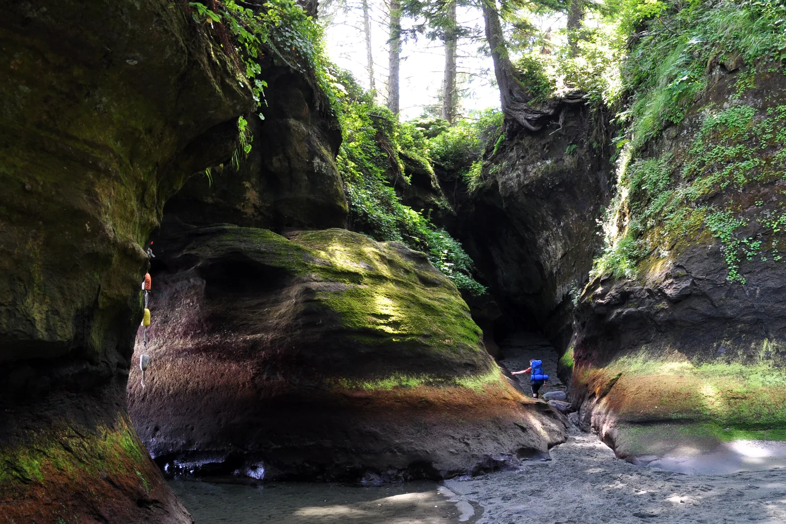
Two tiny hikers on the West Coast Trail in Pacific Rim National Park Reserve, in front of an eroded sandstone formation at Owen Point, dense coastal rainforest above
Photo: Paxson Woelber ↗ · CC BY-SA 3.0 ↗

Place in the park

West Coast Trail

75 km (47 mi) of coast, created as a rescue route for shipwrecked sailors. Parks Canada rates it as a remote Type 3 route, with everything that implies.

Length
75 km (47 mi) from Pachena Bay to Gordon River.
Duration
6 to 8 days; shorter via Balaats’adt (Nitinaht Village).
Season
1 May to 30 September, reservation required.
Minimum age
12 years.
Cost
208.50 CAD per person plus two ferry fees of 28.00 CAD.
Condition
Plan for missing planks, missing ladder rungs and cable cars out of service.
Weather
Around 330 cm (130 in) of precipitation a year; high water can cost you days.

West Coast Trail: rules, season and reservations ↗

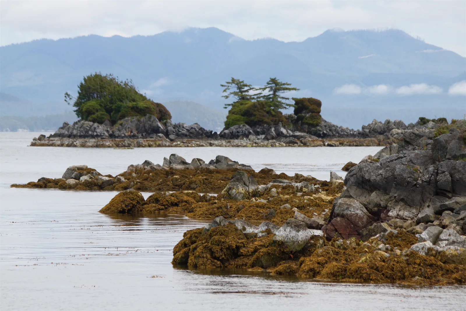
Small wooded rocky islands of the Broken Group Islands in Pacific Rim National Park Reserve, in the calm water of Barkley Sound, the mountains of Vancouver Island behind
Photo: Roy Luck ↗ · CC BY 2.0 ↗

Place in the park

Broken Group Islands

Around a hundred islands and rocks in sheltered Barkley Sound. You cannot get there without a boat, and the park authority advises against going in your own kayak from Bamfield.

Location
Barkley Sound, between Ucluelet and Bamfield.
Access
By water only.
Camping
Backcountry camping on seven islands.
Season
1 May to 30 September, reservation required.
Warning
Paddling from Bamfield or Ucluelet is not recommended because of open crossings.
Transfer
With licensed operators from Port Alberni, Ucluelet or Bamfield.

Camping and accommodation ↗

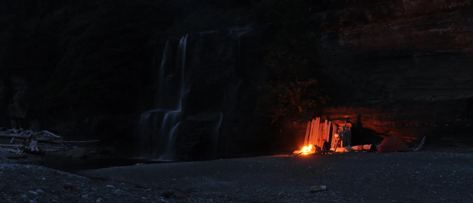
Night shot at the Tsusiat Falls campsite in Pacific Rim National Park Reserve: the waterfall on the left, the glow of a campfire under the rock overhang on the right
Photo: Paxson Woelber ↗ · CC BY 2.0 ↗

Place in the park

Tsusiat Falls

The best-known campsite on the West Coast Trail: a waterfall that drops straight onto the beach. If you plan your stages, you usually plan around this spot.

Location
On the West Coast Trail, northern half.
Use
Designated campsite on the route.
Season
Only within the trail season from 1 May to 30 September.
Campfires
Permitted on all beaches of the West Coast Trail, except kilometre 34 to 38.

West Coast Trail: rules, season and reservations ↗

Map

11 places on the map

The map shows how far apart the three park units are. Every point is verified against an OpenStreetMap object.

Open map3D terrain · details and photos for every place
  • Viewpoints1
  • Water1
  • Trails2
  • Arrival1
  • Where to stay1
  • Nature1
  • Surroundings4

03 · Out and about

Hikes & routes: West Coast Trail, Long Beach and surfing

From an accessible bike path to a long-distance trail that Parks Canada itself rates as a Type 3 route.

Photo: Kyla Duhamel from Saskatoon, Canada ↗ · CC BY 2.0 ↗

„The drift logs on the beach are not flotsam but a hazard: at high tide and in a swell the surf sets them moving. The park authority explicitly warns against standing on them or behind them during storms.“

Pacific Rim National Park Reserve · Wickaninnish Beach in the Long Beach Unit

Hikes & routes: West Coast Trail, Long Beach and surfing

ʔapsčiik t̓ašii: 25 km (16 mi) without a climb

The multi-use pathway runs for 25 km (16 mi) from the southern to the northern boundary of the Long Beach Unit. You can use it on foot, with a pushchair, in a wheelchair or by bike, and it links the beaches, trails and parking lots: the easiest way to experience the park without a car.

Activities and experiences ↗

West Coast Trail: 75 km (47 mi), 6 to 8 days

From Pachena Bay to Gordon River, through old-growth forest, across beaches, ladders, suspension bridges and cable cars. Parks Canada sets a minimum age of 12 years and describes the route as a remote Type 3 trail: expect missing boardwalk planks, protruding nails, missing ladder rungs, cable cars out of service and impassable rivers. Heavy rain can mean waiting several days.

West Coast Trail: rules, season and reservations ↗

Cold-water surfing

The surf off Long Beach is one of the best-known surf spots in Canada. The park authority recommends a wetsuit and a lesson at a local surf school: water temperature and currents make the area demanding even in summer.

Surfing in the park reserve ↗

Storm watching from a safe distance

Winter storms roll in between November and March. The park authority explicitly names drift logs, king tides and high waves as hazards and refers to designated safe viewpoints as well as to tide tables, wave forecasts and the wave hazard signs in the park.

Storm watching ↗

Campfires only on certain beaches

Beach fires are permitted with a valid park pass on Florencia Beach, Wickaninnish Beach and the Radar Beaches, and on all beaches of the other two park units, except the section between kilometre 34 and 38 of the West Coast Trail. They are prohibited on Long Beach between Schooner Trail and Sandhill Creek, among other places.

Activities and experiences ↗

What is not allowed

Prohibited activities include collecting plants, rocks, mushrooms and found objects, hunting, off-road driving, paragliding and parachuting, jet skis and water-skiing, and kite flying on Long Beach North and Incinerator beaches in the airport approach path. Drones are prohibited without a permit; the park authority cites fines of up to 25,000 CAD.

Safety, weather and park regulations ↗

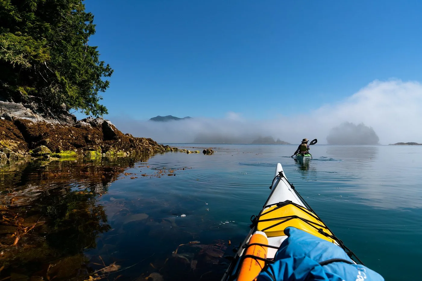
Offer photo: Four days by kayak through the Broken Group Islands

Wild Root Journeys · Viator

Four days by kayak through the Broken Group Islands

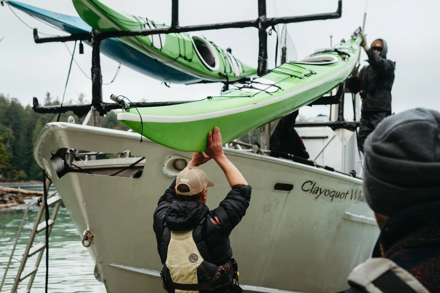
Guided kayak trip with nights in a tent in Pacific Rim National Park Reserve: start at Secret Beach, through the Stopper Islands to the Broken Group Islands, four to six hours of paddling on each of two full days with one camp move, plus the history of the Tseshaht First Nation. Back at Secret Beach by 16:00 on day four.

  • 4 days
  • Meals included
  • Maximum 10 people
  • Non-refundable

Departure Pre-trip briefing at 19:00 the evening before the trip at Little Beach in Ucluelet; you travel there yourself and book your own accommodation for that night. Start the next morning at Secret Beach, 45 minutes’ drive from Ucluelet.

According to the description, kayak and camping equipment is provided; the list of inclusions, however, names only breakfast, lunch and dinner. Clarify this before booking. Park fees are not mentioned. Good fitness required. According to Viator, the booking is non-refundable. Guide in English.

View tour ↗Ad · partner link · checked 26 Sep 2026

Provider's product photo · Viator

Offer photo: From Tofino: whale watching off the Long Beach coast

Tofino Resort + Marina · Whale watching · outside the park

From Tofino: whale watching off the Long Beach coast

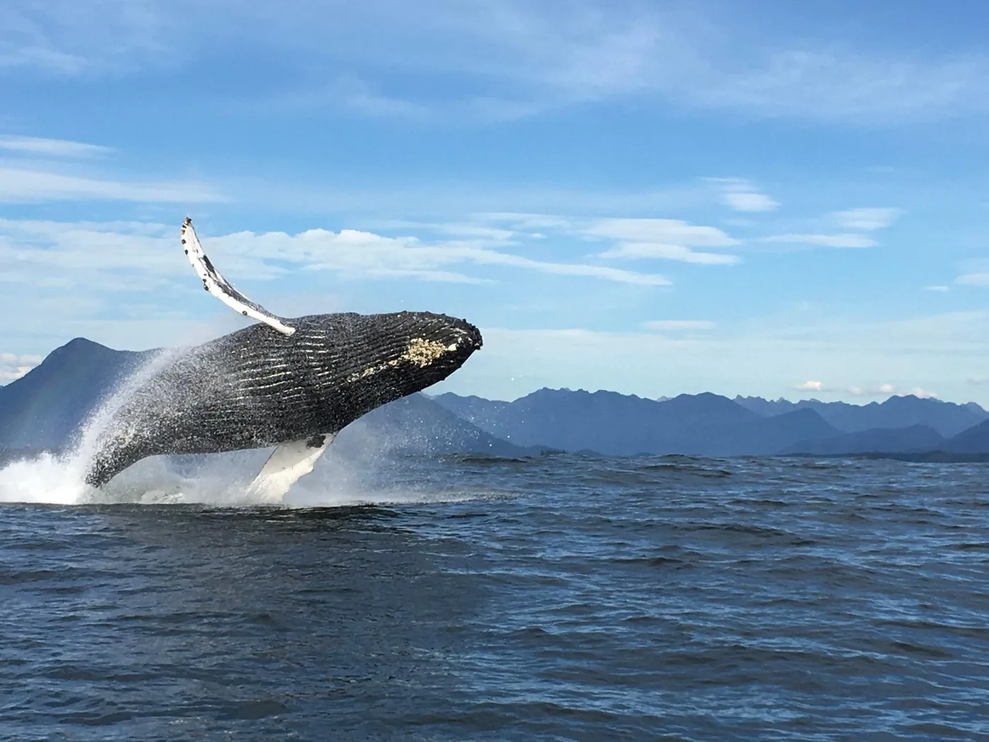
Two and a half hours with a certified guide from Tofino to the feeding grounds near Flores, Vargas and off Long Beach. The focus is on grey and humpback whales and orcas; sea lions, sea otters and bald eagles are also possible. Depending on the departure, in an open Zodiac or a covered cabin boat.

  • 2.5 hours
  • Zodiac or cabin boat
  • Weatherproof suits in the Zodiac
  • Guide in English

Departure Marine Adventure Centre of Tofino Resort + Marina at the bottom of the hill; check in with the Adventure Hosts inside the building.

The 10:30 and 13:30 trips run in an open Zodiac, minimum height 1.45 m (4 ft 9 in); the 16:30 trip runs in a covered cabin boat with no height limit. The trip runs from Tofino into Clayoquot Sound and out along the coast, outside the reserve; the operator is not on the list of businesses licensed by Parks Canada for the reserve. The minimum height for the Zodiac is given differently on the product page (1.45 m, 1.22 m, 1.42 m in English); clarify before booking. Free cancellation up to 24 hours in advance; check dates and prices with the operator.

View tour ↗Ad · partner link · checked 2 Oct 2026

Provider's product photo · GetYourGuide

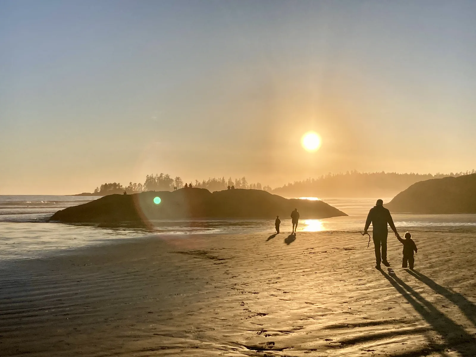
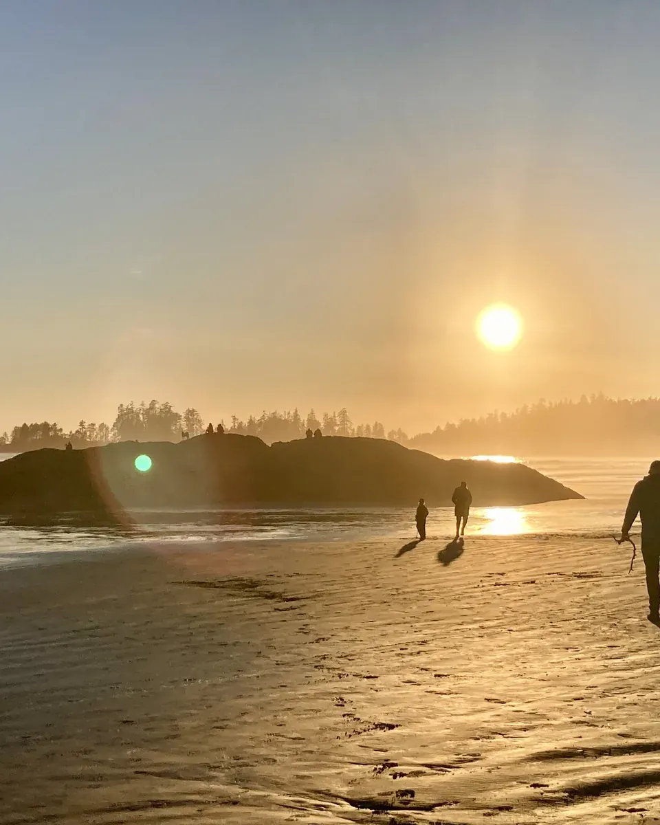
A family in silhouette on the wide sandy beach of Long Beach in Pacific Rim National Park Reserve, the low sun over the Pacific

Pacific Rim National Park Reserve (Parks Canada) · Park authority programme · summer evenings

Parks Canada evening programmes at Green Point

From June to September, Parks Canada puts on evening talks, guest speakers and films in the theatre at Green Point Campground above Long Beach: on grey and humpback whales and orcas, on bears, wolves and cougars, on octopuses. During the day, interpreters lead walks through the rainforest and along the beach from the Kwisitis Visitor Centre.

  • June to September, few dates in May
  • With a valid park pass
  • Theatre at Green Point Campground
  • English

Meeting point Theatre at Green Point Campground in the Long Beach Unit, 12 km north of the Ucluelet–Tofino junction on Highway 4. Dates are on the park's programme page, its Facebook page and the posters in the park.

According to Parks Canada, public programmes are funded through the park entry pass; it names no separate fee and does not call them free. Programmes in English, French tours on request. Children must be accompanied, pets are not allowed. Programmes may change without notice. The page does not say explicitly whether the theatre is open to visitors without a campsite. Outside June to September there are no regular evening programmes.

Park authority page ↗Park authority programme · no partner link · checked 2 Oct 2026

Landscape image, not a provider photo · Photo: Davidwegan ↗ · CC BY-SA 4.0 ↗

Ad · we may earn a commission if you book through this partner link. Offer details checked 2 Oct 2026. See official ticket information.

Nature and culture

What the park represents

Parks Canada describes the reserve as representing the coastal lowland forests of the Pacific Coast Mountains region and the near-shore waters of the shelf region off Vancouver Island. Moss-covered Sitka spruce, ferns, wide sandy beaches and the open sea shape the landscape.

Nature and science ↗

Two ecosystems being restored

The park authority is working to restore two sensitive habitats: salmon streams and sand dunes. For the dunes, the main task is removing introduced beach grasses so that native dune plants can return.

Nature and science ↗

ḥaḥuułi of the Nuu-chah-nulth

Nuu-chah-nulth means “all along the mountains and sea” and refers to the territories along 300 km (186 mi) of Vancouver Island’s west coast, from the Brooks Peninsula in the north to Point-no-Point in the south. Oral history tells of a people who emerged from this land itself. Today the Nuu-chah-nulth form 14 distinct nations, each with an elected council and with ḥaw̓iiḥ, the hereditary chiefs.

Nuu-chah-nulth culture and history ↗

Nine nations in management

Ditidaht, Hupacasath, Huu-ay-aht, Pacheedaht, Tla-o-qui-aht, Toquaht, Tseshaht, Uchucklesaht and Yuułuʔiłʔatḥ now manage the reserve together with Parks Canada, through joint committees, shared decision-making tables or on a project basis. Following the 2010 management plan, each nation has developed its own approach.

Management planning and reserve status ↗

A trail born of shipwrecks

The West Coast Trail goes back to a telegraph line that was expanded into a lifesaving route after countless wrecks on this coast. The trigger was the sinking of the steamship Valencia in 1906 with more than 125 dead: in 1907 the Pachena lighthouse was built, lifesaving stations were added at Cloo-ose and Bamfield, and the route became the Dominion Life Saving Trail, with six shelter cabins stocked with supplies.

West Coast Trail: rules, season and reservations ↗

04 · Before you go

Park film and places nearby

Photo: Davidwegan ↗ · CC BY-SA 4.0 ↗

Film by the park authority

West Coast Trail Hiker Preparation Guide

Just under ten minutes from Parks Canada on preparing for the West Coast Trail: gear, tides, river crossings and ladders. The park authority embeds the film on its own trail page. In English.

Source: Parks Canada · View channel ↗

Around the park

Tofino and Ucluelet

The two communities frame the Long Beach Unit and provide accommodation, food, surf schools and boat operators. Both are outside the reserve; if you stay there, you still need a valid park pass in your vehicle to visit the park.

Getting there and planning your visit ↗

Barkley Sound and Port Alberni

Port Alberni is a starting point for boat and water transfers to the Broken Group Islands and lies on Highway 4 on the way to the coast. If you visit the islands, it makes sense to combine the journey with a night there or in Bamfield.

Getting there and planning your visit ↗

Returning via Port Renfrew

If you hike the West Coast Trail from north to south, you finish at Gordon River near Port Renfrew, and from there the road continues towards Victoria. In the opposite direction you end up in Bamfield, which is considerably more remote.

West Coast Trail: rules, season and reservations ↗

Guided tours

Guided tours with licensed operators are possible in all three park units. Parks Canada requires a licence for this that includes environmental standards and recognised safety requirements, and publishes a list of licensed businesses.

Activities and experiences ↗

Field book · Pacific Rim National Park Reserve

checked 19 Sep 2026

Pacific Rim National Park Reserve at a glance · PDF, 2 pages ↓

00My visit

Nothing saved yet. Every place card has a pin, and so does every place on the Map. What you save collects here, with days, notes and a preview you can share.

01Best time to visit Pacific Rim

Two seasons with completely different character, and three park units with different operating dates.

May to September: the only time for the backcountry

The Broken Group Islands and the West Coast Trail are open for overnight stays only from 1 May to 30 September. Outside this window no permits are issued there. The Nitinaht Triangle is closed entirely until further notice.

Operating hours and visitor centres ↗

November to March: storm season

Winter is the most dramatic time on this coast. The park authority names November to March as the main storm season and also points out that beach accesses are closed seasonally and stairs are removed. You watch from designated safe areas, not from the beach.

Storm watching ↗

Cool summers, mild winters, lots of water

The park authority describes the climate as cool summers, mild winters and abundant moisture, with regular extreme weather at the same time: prolonged heavy rain, hurricane-force gusts and dense wet fog. The West Coast Trail receives around 330 cm (130 in) of precipitation a year on average, and the mean summer temperature is 14 °C (57 °F).

Safety, weather and park regulations ↗

Campground and visitor centres

Green Point is open from May to mid-October, in 2026 until 12 October. In late summer the Kwisitis Visitor Centre is open daily from 9:30 to 16:30; the administration office on the Pacific Rim Highway is open all year on weekdays from 9:00 to 16:00 with a lunch break. Visitor centre hours may change without notice.

Operating hours and visitor centres ↗

Climate through the year

Weather and climate in Pacific Rim National Park Reserve

Best months by the climate data: July and August. Average daytime highs of 17 to 18 °C, lows of 12 to 13 °C, 47 to 56 mm of precipitation a month. The wettest month is January (315 mm), the driest July (47 mm).

Climate chart in Pacific Rim National Park ReserveAverage daily highs from 6 °C to 18 °C, lows from 3 °C to 13 °C; monthly precipitation from 47 mm to 315 mm.
All monthly values as a table
Monthly averages 2001–2020, NASA POWER model
MonthHigh °CLow °CPrecipitation mm
January6.74.0315
February6.73.4163
March7.64.2213
April9.75.6146
May12.98.276
June14.810.369
July17.212.247
August17.512.756
September15.911.3104
October12.28.5199
November8.75.7314
December6.43.7282
Year1,984

Modelled values, not a weather station: NASA POWER (MERRA-2) for a grid cell of about 55 × 45 km around the map point Kwisitis Visitor Centre (49.01° N, 125.67° W), with an average cell elevation of about 180 m. Averages for 2001–2020. Higher ground and valleys can differ markedly.

Source: NASA POWER, climatology 2001–2020 ↗ · retrieved 3 Oct 2026

02How to get to Pacific Rim and where to park

Each park unit is reached differently. For two of the three you need a boat or a long gravel road.

Long Beach: Highway 4 from Port Alberni

The Long Beach Unit lies between the communities of Ucluelet and Tofino. The access route is Highway 4, the “Pacific Rim Highway”, from Port Alberni: 108 km (67 mi) of steep, winding road, for which the park authority allows at least 90 minutes. It is busy in summer; the pull-outs are there so you can let other traffic pass.

Getting there and planning your visit ↗

Driving times from the ferry and the cities

From the Nanaimo ferry terminal the park authority allows three hours to Long Beach; from Vancouver the flight takes about one hour. Other driving times: Victoria 5 hours, Nanaimo 3.5 hours, Parksville 2.5 hours, Courtenay 3.5 hours, Port Alberni 2 hours.

Getting there and planning your visit ↗

Broken Group Islands: by boat only

The islands in Barkley Sound can only be reached by water. The park authority explicitly advises against paddling from Bamfield or Ucluelet because of the open crossings in Imperial Eagle Channel and Loudon Channel. The usual option is a transfer with a licensed operator from Port Alberni, Ucluelet or Bamfield.

Getting there and planning your visit ↗

West Coast Trail: three trailheads

The trail is reached via Bamfield in the north, Balaats’adt (Nitinaht Village) in the middle and Port Renfrew in the south. The middle trailhead shortens the hike by several days. Between the Nitinaht Narrows and Pachena Bay you should allow at least two to three nights.

West Coast Trail: rules, season and reservations ↗

No public transport in the park

There is no public transport within the reserve. For travel without your own vehicle, the park authority refers to buses, scheduled flights and the passenger ferry; within the park you get around on foot, by bike or in your own vehicle.

Getting there and planning your visit ↗

Parking at Long Beach: designated areas only

In the Long Beach Unit you may only park in designated areas; roadside parking is prohibited, including in front of access gates. The Combers Beach, Rainforest Trail and Kwisitis Visitor Centre parking lots have automated pass machines that accept credit cards only.

Parks Canada: Hiking trails, parking and trailheads ↗

Parking at Florencia Bay and the Rainforest Trail: often tight

Florencia Bay North is a popular day use area and its parking lot may be full; do not park along the narrow access road. RVs and buses must use the Kwisitis Visitor Centre lot. They are not permitted at the very small Rainforest Trail lot either and park at the Combers lot instead, 2 km away along the multi-use pathway.

Parks Canada: Hiking trails, parking and trailheads ↗

Hello Nature Adventure Tours · offer

From Ucluelet: Broken Group Islands kayak day tour

Full-day kayak tour: 45 minutes by boat from Ucluelet to the Broken Group Islands, then several hours of paddling between islands and sandy beaches, a picnic on a beach and, in the afternoon, traces of the First Nations such as old shell middens, fish traps and canoe routes. The water taxi is back at around 16:00.

Departure Office and kayak dock in Ucluelet Small Craft Harbour, at the last finger of the dock; meet at 8:00.

Not included: snacks, bottled water and personal items such as water shoes, sun protection and a change of clothes; the operator provides suitable footwear if needed. According to the operator, suitable for all fitness levels, but not recommended for travellers with spinal or cardiovascular problems. The tour may be cancelled in bad weather. Guide in English. Cancellation up to 24 hours in advance.

View tour ↗Ad · partner link · checked 26 Sep 2026

Ad · we may earn a commission if you book through this partner link. Offer details checked 26 Sep 2026. See official ticket information.

03Tickets & entrance fees

All amounts in Canadian dollars, retrieved from Parks Canada on 19 September 2026.

Daily admission

Adults 12.25 CAD, seniors aged 65 and over 10.75 CAD, family or group 24.50 CAD; a group means up to seven people in one vehicle. Youth aged 17 and under have paid no admission at any Parks Canada site since 2018.

Parks Canada: fees ↗

Annual pass and four-hour rate

The annual pass costs 60.50 CAD for adults, 51.50 CAD for seniors and 120.75 CAD for a family or group. If you only want a short time on the beach, the “Beach Walk” rate costs 7.75 CAD for adults and 15.50 CAD for a family or group. It is valid only at the Long Beach, Kwisitis, Incinerator and Wickaninnish parking lots and is limited to four hours.

Parks Canada: fees ↗

The West Coast Trail is paid for separately

The full route costs 208.50 CAD per person; this includes the backcountry permit at 184.75 CAD and the mandatory orientation at 23.75 CAD. On top of that come two ferry fees of 28.00 CAD each at Gordon River and at the Nitinaht Narrows. Parks Canada explicitly calls these the minimum costs: travel to the trailheads, transport and food are not included.

Parks Canada: fees ↗

Camping and reservations

Green Point costs 34.00 CAD per night without hook-up and 40.00 CAD with electricity, an oTENTik 147.50 CAD, group camping 8.75 CAD per person. Backcountry camping costs 15.00 CAD per person per night. Every reservation, change or cancellation costs an extra 11.50 CAD online or 13.50 CAD by phone.

Parks Canada: fees ↗

Regular prices again from 8 September 2026

According to the park authority, 7 September 2026 was the last day of free admission and discounted camping under the Canada Strong Pass. Travel reports from summer 2026 may therefore quote an admission that no longer applies.

Parks Canada: fees ↗

04Where to stay in Pacific Rim: camping and backcountry

One Parks Canada campground, two backcountry areas; everything else is outside the reserve.

Green Point: the only campground

12 km (7.5 mi) north of the Ucluelet–Tofino junction on Highway 4, operating since 1962. 94 drive-in sites for up to six people, plus walk-in sites, oTENTik tent cabins and group sites. Facilities: 15 and 30 amp electrical hook-ups, flush toilets, showers, fire pits, tables, a sani-dump station and firewood for a fee. Maximum stay seven consecutive nights.

Camping and accommodation ↗

Reservations: mark the dates in your calendar

You book through the Parks Canada Reservation Service or by phone at 1-877-737-3783. For the 2026 season, reservations for Green Point opened on 29 January 2026 at 8:00 Pacific time, and for the West Coast Trail on 5 February 2026. Popular dates tend to go quickly.

Camping and accommodation ↗

Backcountry: islands and trail

In the Broken Group Islands there is backcountry camping on seven islands, reachable only by boat. On the West Coast Trail there are designated campsites along the route. Both only from 1 May to 30 September and only with a reservation.

Camping and accommodation ↗

Accommodation outside the reserve

Hotels, lodges and other services are in the communities next to the park, mainly Tofino and Ucluelet. The park authority refers you to the local chambers of commerce. The Toquaht Nation’s Secret Beach Campground on Toquaht Bay is also outside the reserve and is reached via 30 minutes of gravel road.

Getting there and planning your visit ↗

05Rules & safety in Pacific Rim

Open Pacific coast means water, weather and wildlife take priority over your plans.

Wolves, cougars and bears

At the time of checking, the park authority has a wolf warning in effect for the area, with closures and dog bans. Wolves, cougars and bears live here permanently; your own behaviour determines the safety of people and animals alike. Check current warnings before you set off.

Park authority: Pacific Rim ↗

Water and coast

High surf, rip currents and cold water are always present. On the coast, king tides, large waves and rolling drift logs add to this, including at the mouths of creeks and rivers. The park authority explicitly points this out for hikers and storm watchers.

Safety, weather and park regulations ↗

West Coast Trail: not a trail for beginners

Wet and foggy weather, a remote location, rugged terrain and the proximity of the ocean and rivers make the trail demanding; accidents happen. Minimum age 12 years. Limit the number of people on ladders and cable cars, and the cable car must come to a complete stop before anyone pulls on the cable.

West Coast Trail: rules, season and reservations ↗

Defibrillators and emergencies

In the Long Beach Unit there are five publicly accessible defibrillators in heated, weatherproof cabinets, including at the Kwisitis Visitor Centre, at the washroom at Wickaninnish Beach and at the Green Point registration kiosk. Emergencies in the reserve: 1-877-852-3100 or 1-250-726-3604.

Safety, weather and park regulations ↗

Dogs

Dogs must be kept on a leash. During wolf warnings the park authority can ban dogs entirely from certain areas; the current situation is shown on the park authority’s home page.

Park authority: Pacific Rim ↗

06Frequently asked questions: Pacific Rim National Park Reserve

Can I see Long Beach, the Broken Group Islands and the West Coast Trail in one day?

No. The three units are not connected. You reach Long Beach via Highway 4, the Broken Group Islands only by boat, and the West Coast Trail via Bamfield, Nitinaht Village or Port Renfrew. Even the trailheads are hours apart.

Park authority: Pacific Rim ↗

How much does it cost to enter Pacific Rim National Park Reserve?

Daily admission costs 12.25 CAD for adults, 10.75 CAD for seniors and 24.50 CAD for a family or group of up to seven people in one vehicle. Youth aged 17 and under pay nothing. For short beach visits there is a four-hour rate from 7.75 CAD at four parking lots.

Parks Canada: fees ↗

Do I need a reservation for the West Coast Trail?

Yes. The trail is open for overnight stays only from 1 May to 30 September, and only with a reservation through the Parks Canada Reservation Service. For the 2026 season, booking opened on 5 February 2026 at 8:00 Pacific time. The minimum age is 12 years.

West Coast Trail: rules, season and reservations ↗

What is the best time to visit Pacific Rim?

That depends on what you want. For the backcountry and the islands, only May to September works. For storm watching, the park authority names November to March as the most dramatic time, although beach accesses are then closed and stairs removed. Long Beach itself is open all year.

Storm watching ↗

Is there accommodation in the park other than campgrounds?

Within the reserve there is only Green Point, with campsites and oTENTik tent cabins, plus backcountry camping on the islands and on the trail. Hotels and lodges are outside, mainly in Tofino and Ucluelet.

Camping and accommodation ↗

Why is it called a national park reserve and not a national park?

Because the land rights of the Nuu-chah-nulth nations have not been finally settled. Parks Canada itself states that the area was established without the involvement of these nations; the designation “Reserve” keeps open the possibility that its boundaries are later changed through court decisions, treaties or agreements. Today nine nations manage the area together with Parks Canada.

Management planning and reserve status ↗

Do you need a park pass to park at Long Beach?

Yes. In the Long Beach Unit a valid park pass must be displayed in your vehicle as soon as you park it. For short beach visits, the four-hour “Beach Walk” rate of 7.75 CAD for adults applies at the Long Beach, Kwisitis, Incinerator and Wickaninnish parking lots. Staying in Tofino or Ucluelet does not change this.

Parks Canada: fees ↗

07Sources and date checked

All information comes from the park authority and has been checked with a date.

  1. Park authority: Pacific Rim ↗
  2. Parks Canada: fees ↗
  3. Operating hours and visitor centres ↗
  4. Getting there and planning your visit ↗
  5. Activities and experiences ↗
  6. West Coast Trail: rules, season and reservations ↗
  7. Camping and accommodation ↗
  8. Nature and science ↗
  9. Nuu-chah-nulth culture and history ↗
  10. Safety, weather and park regulations ↗
  11. Working with First Nations ↗
  12. Management planning and reserve status ↗
  13. Storm watching ↗
  14. Surfing in the park reserve ↗
  15. Parks Canada: Hiking trails, parking and trailheads ↗

How current is this information?

Researched 19 Sep 2026. Not a live status. Dates apply only to the year stated. A successful automatic fetch is not an editorial confirmation; outdated automatic values are hidden and replaced by the source link.

Current information from the park ↗

Image and map credits

Location sources: Every location verified against an OpenStreetMap object; object type checked in each case. Markers do not imply that access is permitted. Base map © OpenStreetMap contributors. Coastlines of the chapter map: Natural Earth.

End of the field book · Park authority ↗