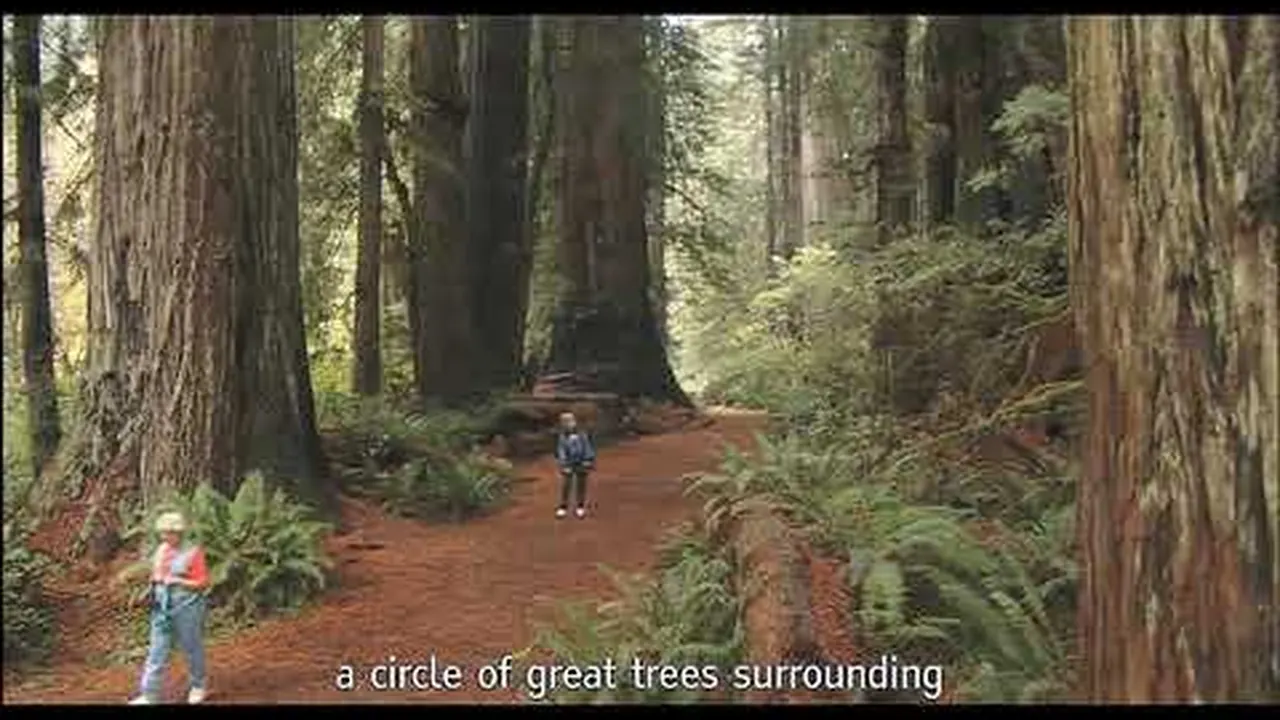
Redwood National and State Parks: landscape and origins
The coast redwood grows taller than any other tree on Earth, and owes that to a narrow strip of fog found only here.
A tree 115 m (377 ft) tall has to pull water against gravity all the way up to its crown. That only works up to a certain height; beyond it, the column of water breaks. The coast redwood gets around the problem by not transporting part of its water through the trunk at all: it takes in about 40 percent of its moisture directly from the fog that creeps up the deeply cut river valleys in summer. That is exactly why it grows only on a narrow coastal strip from Northern California to the southernmost tip of Oregon, and nowhere else in the world.
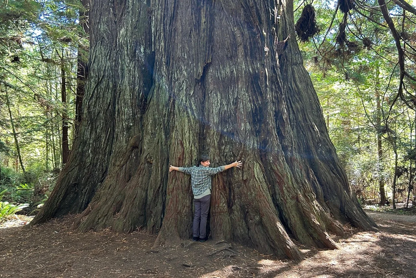
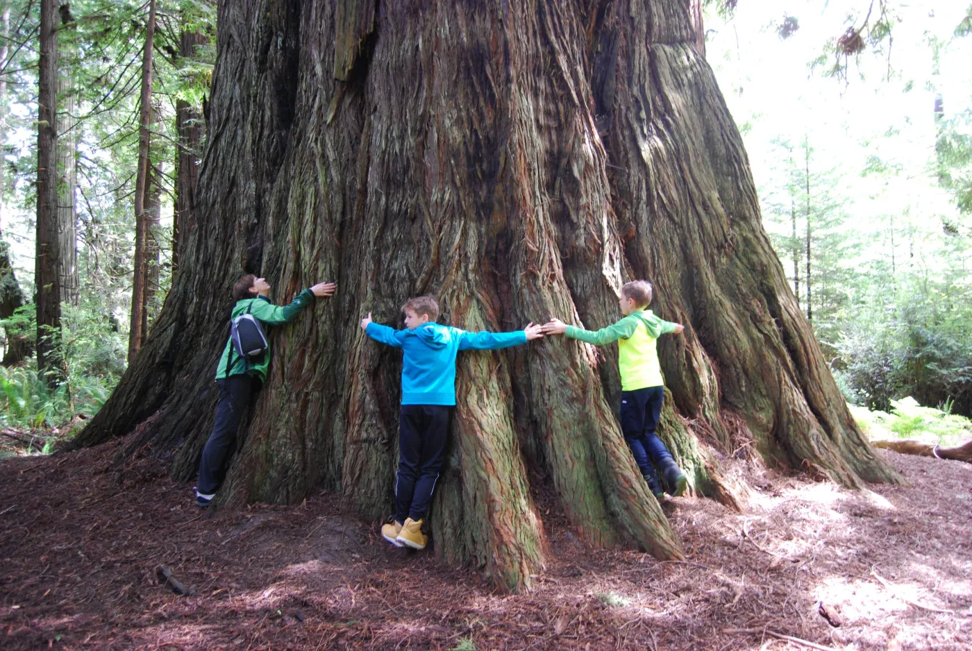
The structure is the second surprise. At more than a hundred metres tall, the roots go only three to four metres (10 to 13 ft) deep. Instead they spread 20 to 27 m (66 to 89 ft) sideways and interlock with the roots of neighbouring trees. A redwood does not stand on a stake but in a web, and falls when it is isolated. That is also the reason for the park authority's urgent request to stay on the trail at the foot of the trees: the root plate lies immediately below the surface, and compacted soil reaches it faster than any saw.
What stands today is a remnant. The species once covered about two million acres. Since 1850 logging has been so thorough that five percent of the original old growth remains. When the national park was created in 1968, a considerable part of the land later added had already been clear-cut; much of the park is therefore still a restoration site, where logging roads are removed and creeks returned to their old courses.
How much of the world's remaining stock stands here is something the park authority itself answers inconsistently: the park facts page gives about 35 percent, the Visitor Guide 2026 gives 45 percent. Both figures come from the same office. We give both and point out the discrepancy, rather than silently adopting the more favourable number.
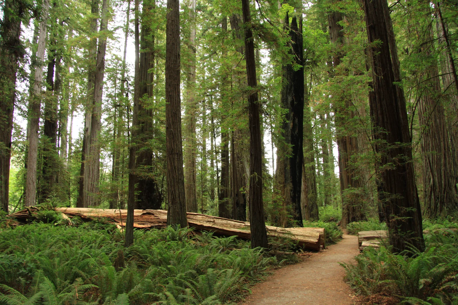
What a coast redwood can withstand is best seen in the burnt-out trunks that stand all over the park. The thick bark contains hardly any resin and protects the core against fire; if the core burns out anyway, the tree keeps growing as a hollow shell. And even a felled or fallen trunk is not the end: it sprouts again from dormant buds and from the knobbly burls. What looks like a circle of young trees here is often a single clone around a long-vanished stump.
Visiting Redwood: four parks, one administration and no entrance gate
01
One national park and three state parks
Since May 1994 the National Park Service and California State Parks have jointly managed four neighbouring protected areas: Redwood National Park, established in 1968, and the state parks Prairie Creek (1923), Del Norte Coast (1925) and Jedediah Smith (1929). Together they cover 138,999 acres, about 562 square kilometres.
The national park is free to visit. There are no entrance stations, and no federal annual passes are sold there either. If you need an America the Beautiful Pass, get it beforehand.
The parks are accessible all year round. Visitor centres and campgrounds follow their own seasonal schedules; the park authority does not publish fixed opening hours online and refers you to the phone number 707-443-7062.
The park stretches about 50 miles (80 km) from forest to sea and includes 37 miles (60 km) of coastline. If you only plan for the trees, you miss half of it.
The park authority warns explicitly: many GPS and map services give wrong routes in the park and send visitors onto unpaved or closed roads. Take the printed park map and follow the signs.
„Twenty-five metres of distance sounds like a lot, until the animal is standing ten metres in front of your bonnet.“
Redwood National and State Parks · Roosevelt elk in Prairie Creek Redwoods State Park
Hikes & routes: here you walk, and slowly
Fern Canyon
Vertical walls above a creek bed, completely covered in ferns. The road in, Davison Road, has two creek crossings; according to the park authority, wet feet are practically guaranteed all year.
Sixteen kilometres (10 mi) of gravel road wind through the old growth of Jedediah Smith Redwoods State Park. At the end, a level loop. The road is not recommended for RVs and trailers.
A boardwalk 400 m (1,300 ft) long leads over the root zone of the giants. It completes a $3.5 million project that restored a trampled grove. Access via Howland Hill Road and the realigned Mill Creek Trail.
45 full-day permits up to 180 days in advance, plus ten morning and ten afternoon permits the day before. Free. The gate code arrives by email 23 hours before your hiking day. Then an hour's drive, six miles (10 km) of it on gravel.
A 4.4 km (2.7 mi) loop from the Elk Meadow Day-Use Area, 137 m (450 ft) of climb, right through old growth. If you are short on time, just walk the 800 m (0.5 mi) to the falls and back.
A 2.4 km (1.5 mi) loop with 30 m (100 ft) of climb, 2.5 miles (4 km) up Bald Hills Road. The car park is small and full on busy days. There is an audio tour for the trail in the official NPS app.
The park authority states it plainly: there is no tree in the parks that you can drive through. The three well-known drive-through trees at Klamath, Myers Flat and Leggett are private and charge admission.
Redwood National and State Parks: Guided Walking Tour
Three hours with a local guide through the old growth at Big Tree. The group is limited to six people; the route is adapted to the pace and mobility of participants, and accessible options are available on request.
3 hours
maximum 6 participants
accessible routes possible
Meeting point Big Tree car park
Departure The meeting point is the Big Tree car park on the Newton B. Drury Scenic Parkway, just under a kilometre (0.6 mi) north of the Prairie Creek Visitor Center.
In context: the park itself costs nothing, and all the trails mentioned here can be walked without a guide. This tour is worth it in two cases: if someone depends on an accessible route, or if the explanation matters more than the walk. It is guided in English only. Cancellation up to 24 hours in advance.
View tour ↗Ad · partner link · checked 25 Sep 2026
Provider's product photo · GetYourGuide
Bigfoot Adventure Tours · Guided hike · 3 hours
Prairie Creek State Park: Redwood Forest Hiking Tour
Three hours on a largely level route through the old growth of Prairie Creek Redwoods State Park, starting from the picnic tables in front of the visitor centre. Among the destinations, the provider names the tree Iluvatar and the Atlas Grove.
3 hours
about 3 km (2 mi), flat
suitable with small children
Meeting point Prairie Creek Visitor Center
Departure The meeting point is the picnic tables in front of the Prairie Creek Visitor Center on the Newton B. Drury Scenic Parkway.
In context: the description advertises taking you to unmarked trees away from the well-known destinations. In this park that is a sensitive point: the root zone of the giants lies just below the surface, and the park authority explicitly asks visitors to stay on the trail at the foot of the trees; in the Grove of Titans a $3.5 million boardwalk had to be built after visitors trampled the ground. Before booking, ask whether the route stays on official trails. Three more points: English only, cancellation up to 24 hours in advance, no provider image used.
View tour ↗Ad · partner link · checked 25 Sep 2026
Provider's product photo · GetYourGuide
Wildtrail Tours · GetYourGuide
E-bike tour from Lost Man Creek to Big Tree
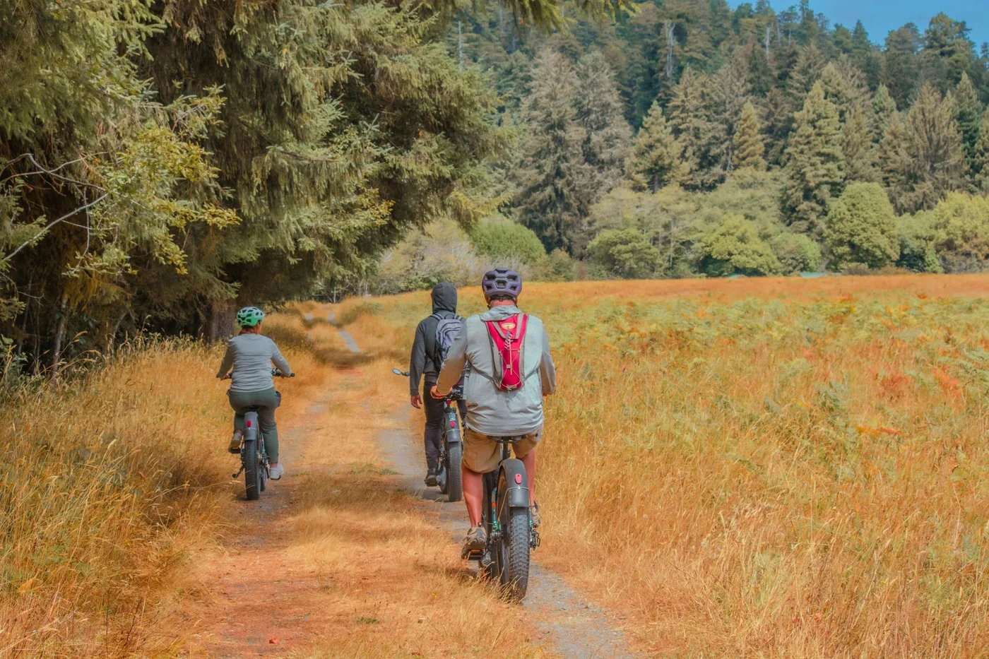
Four hours by e-bike: start in the national park at Lost Man Creek, then through prairies and old-growth forest into Prairie Creek Redwoods State Park. At Big Tree, a coast redwood estimated to be at least 1,500 years old, a short loop on foot follows. About 27 km (17 mi), mostly gravel, flat with gentle climbs.
4 hours
E-bike and helmet provided
About 27 km (17 mi)
Age 14 and over
Departure From Highway 101 turn onto Lost Man Creek Road and drive about 1.5 miles (2.4 km) to the end of the road.
Guide in English. Not suitable for children under 14 or for people who cannot ride a bike; open-toed shoes are not allowed. Bring your own drinking water. Free cancellation up to 24 hours in advance.
View tour ↗Ad · partner link · checked 26 Sep 2026
Provider's product photo · GetYourGuide
Redwood National and State Parks (National Park Service and California State Parks) · Ranger programme · summer evenings
Ranger campfire programmes at three campgrounds
On summer evenings, rangers host a one-hour programme around the campfire at Jedediah Smith, Mill Creek and Elk Prairie campgrounds. According to the park, programmes may include narrated slide shows, storytelling and interactive activities. The campfire circles and outdoor amphitheatres are wheelchair accessible.
1 hour
Summer, roughly mid-May to September
Free
Campfire circles wheelchair accessible
Meeting point At Jedediah Smith Campground, Mill Creek and Elk Prairie Campground. Which campground hosts the programme on a given evening is posted in the park's event calendar, at the visitor centres and on the campground bulletin boards.
According to the park, most programmes run from mid-May to mid-September; elsewhere on the same page it says until late September. Not every programme runs daily, and cancellations are possible. Outside summer the calendar lists no evening programmes. Dress warmly, as summer evenings are cool. The park does not mention any registration for the campfire programmes. Mill Creek is closed in winter.
Park authority page ↗Park authority programme · no partner link · checked 2 Oct 2026
Redwood National and State Parks (National Park Service and California State Parks) · Ranger programme · free
Ranger-led walks through the old growth, including the winter half of the year
Rangers lead one-hour walks through the redwood forest. In the winter half of the year a family-friendly loop of about 1.6 km (1 mi) starts at the Prairie Creek Visitor Center; in autumn a walk of the same length on the Simpson-Reed Trail in the north of the park is added. In summer the park also offers forest walks and guided visits to the tide pools on the coast.
1 hour
About 1.6 km (1 mi), family-friendly
Free
Dates in the park's event calendar
Meeting point In the winter half of the year at the Prairie Creek Visitor Center on the Newton B. Drury Scenic Parkway; the autumn walks in the north start at the Simpson-Reed Trailhead on Walker Road (gravel trail, pit toilet at the car park). The calendar gives the meeting points of the summer programmes.
Free, according to the park. Dates change with the season and are posted in the park's event calendar; cancellations are possible, and the park advises checking at a visitor centre beforehand. Bring comfortable shoes, rain gear and water. In summer, usually mid-May to September, there are also forest walks of 45 minutes to 1 hour, tide pool walks of 1 to 2 hours depending on the tide (sturdy non-slip shoes, no sandals; they will get wet) and Junior Ranger programmes for children aged 7 to 12.
Park authority page ↗Park authority programme · no partner link · checked 2 Oct 2026
Ad · we may earn a commission if you book through this partner link. Offer details checked 26 Sep 2026. See official ticket information.
Nature: five percent is left
Of two million acres, five percent remain
The coast redwood once covered about two million acres. Since logging began in 1850, five percent of the old growth is left. Of that, 38,982 acres stand within the parks.
Two official pages disagree on the share of the world's total
The park facts page gives about 35 percent of all remaining old growth worldwide, the Visitor Guide 2026 gives 45 percent. We give both figures rather than choosing one: they come from the same source.
In trees over 110 m (360 ft) tall, the roots go only three to four metres (10 to 13 ft) deep and then spread 20 to 27 m (66 to 89 ft) sideways. They intertwine with those of their neighbours, which is why a redwood rarely stands alone.
The trees take in about 40 percent of their moisture from the fog, not from the ground. That is why their range is limited to a narrow coastal strip from Northern California to the southernmost tip of Oregon.
There are three redwood species: dawn redwood, giant sequoia and coast redwood. They descend from conifers that were widespread across Europe, Asia and North America in the Jurassic, more than 145 million years ago. The tallest is the one here.
The open meadows support the largest subspecies of elk, and the creeks are spawning grounds for salmon and steelhead trout. Both depend on the restoration of the logged areas, which has been under way for decades.
Redwood National and State Parks' Orientation Film
The official orientation film shown in the park's visitor centres: just over twelve minutes on the coast redwood, the coast and logging. The park authority itself points out that the film dates from 2000; it therefore shows the park before the return of 'O Rew and before the Grove of Titans boardwalk. In English.
Nothing saved yet. Every place card has a pin, and so does every place on the Map. What you save collects here, with days, notes and a preview you can share.
Reality check
Share
The plan is stored in the link itself. Anyone who opens it sees the preview and can use the plan.
Image for your phone, with stops and map.
01Best time to visit: fog is not bad weather
It is the reason the trees grow here and nowhere else.
Between 7 and 16 °C all year
The ocean keeps the temperature steady: the park authority gives values from the mid-40s to the low 60s °F, about 7 to 16 °C, in January as in July. A hot summer day practically does not exist on the coast.
From October to April, low-pressure systems push a series of storms onto the coast; most of the 60 to 80 inches of annual rainfall, or 1,500 to 2,000 millimetres, falls during this time. For comparison: in Germany, 800 millimetres a year already counts as a lot.
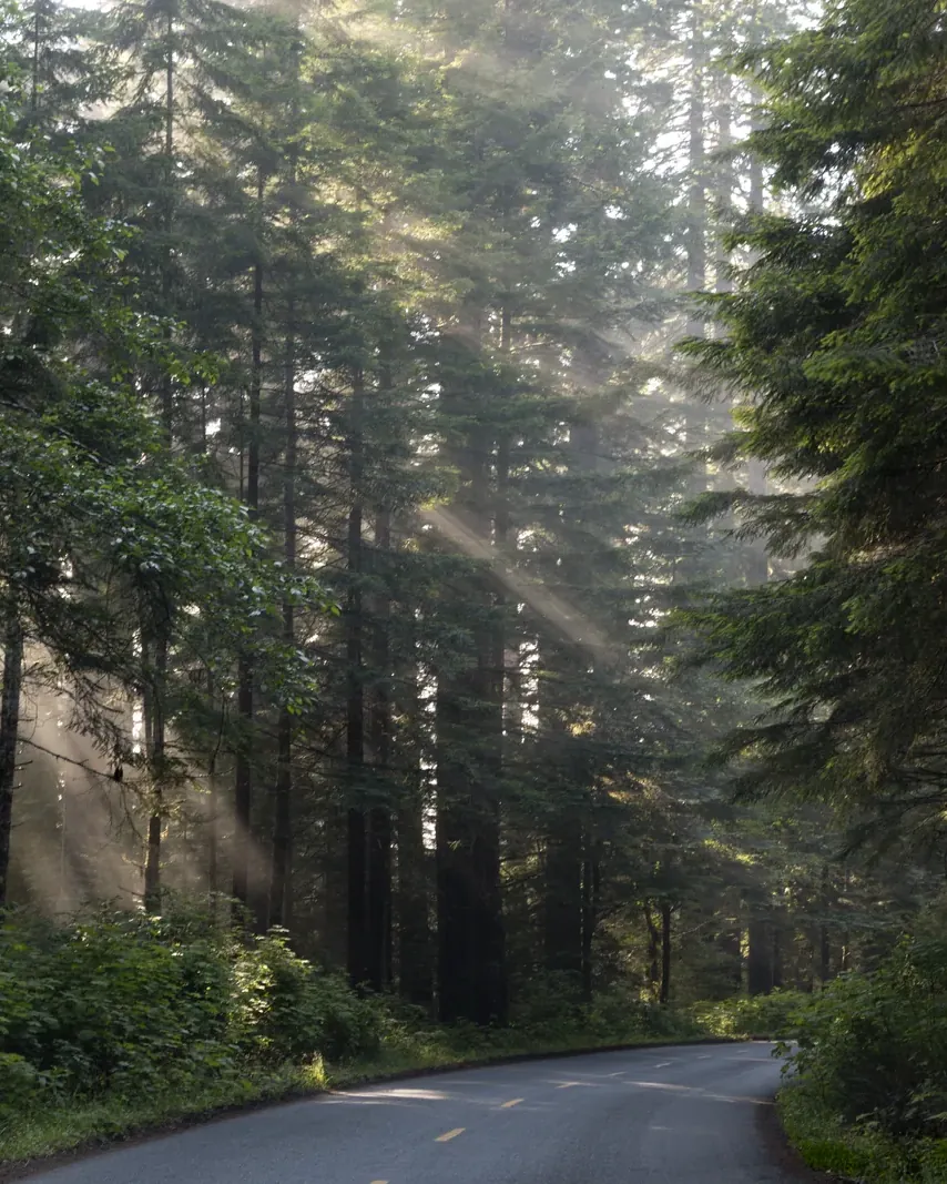
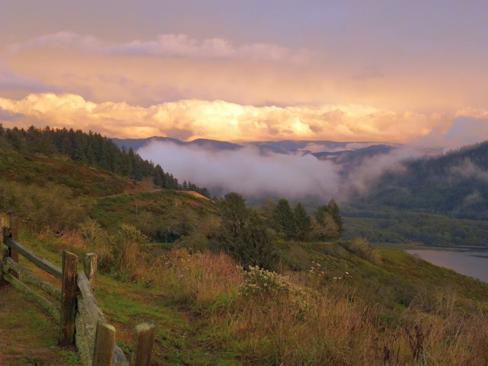
When cold seawater meets warm land, a narrow band of fog pushes up the deeply cut river valleys and keeps the redwoods moist even in the dry season. Inland it is warmer and sunnier at the same time.
The only seasonal highlight the park authority itself singles out. Wild rhododendron then blooms beneath the redwoods; here it grows up to ten metres (33 ft) tall.
Fern Canyon permits only from 15 May to 15 September
Outside this period the road needs no permit, but the seasonal footbridges have been removed. If you come in October or April, you may find yourself facing a creek with no way across.
All seasonal footbridges are currently removed: on the Redwood Creek Trail, on the approaches to Stout Grove, in Fern Canyon and on the Prairie Creek Nature Trail. That is not damage but routine: the bridges are taken down before the flood season.
Weather and climate in Redwood National and State Parks
Best months by the climate data: May to October. Average daytime highs of 17 to 28 °C, lows of 6 to 13 °C, 5 to 94 mm of precipitation a month. The wettest month is December (285 mm), the driest July (5 mm).
0°5°10°15°20°25°30°
Jan92
Feb102
Mar112
Apr134
May176
Jun229
Jul2812
Aug2813
Sep2511
Oct198
Nov124
Dec82
High °CLow °C
Daily highDaily lowPrecipitation
All monthly values as a table
Monthly averages 2001–2020, NASA POWER model
Month
High °C
Low °C
Precipitation mm
January
9.1
2.1
207
February
9.5
1.7
170
March
10.7
2.5
192
April
12.8
3.6
107
May
16.8
6.5
54
June
21.7
9.0
25
July
27.9
12.5
5
August
27.8
12.7
5
September
25.4
11.0
26
October
19.4
7.6
94
November
12.3
4.0
173
December
8.4
1.7
285
Year
1,343
Modelled values, not a weather station: NASA POWER (MERRA-2) for a grid cell of about 55 × 50 km around the map point Prairie Creek Visitor Center (41.36° N, 124.02° W), with an average cell elevation of about 700 m. Averages for 2001–2020. Higher ground and valleys can differ markedly.
02How to get there: 325 miles north of San Francisco
That is why it is quiet here despite the trees.
Six hours from San Francisco
The park lies about 325 miles (523 km) north of San Francisco, a good six hours on US 101. It is 312 miles (502 km) to the Kuchel Visitor Center near Orick. Coming from Oregon: park headquarters is 26 miles (42 km) south of the state line.
From Grants Pass in Oregon, 70 miles (113 km) on US 199, the Redwood Highway, lead south-west to the Hiouchi Visitor Center. This is the shortest route from the direction of Crater Lake.
Arcata-Eureka (ACV) is 25 miles (40 km) south and served by United Express from San Francisco, Los Angeles and Denver. Crescent City (CEC) is four miles (6 km) from the information centre, with daily flights to Oakland. Medford in Oregon (MFR) is 100 miles (161 km) away but has the most connections.
RVs and trailers are prohibited on Coastal Drive, trailers on Cal-Barrel Road. On Howland Hill Road and Bald Hills Road both are explicitly not recommended, on Davison Road trailers. If you want to see the groves, you need a normal car.
Newton B. Drury Scenic Parkway: 16 km (10 mi) paved, 30 minutes, right through the old growth. Howland Hill Road: 16 km (10 mi), mostly gravel, 45 minutes. Bald Hills Road: 17 miles (27 km), steep and narrow, 45 minutes to the park boundary. Coastal Drive Loop: 14.5 km (9 mi), partly one-way northbound.
Parking at Fern Canyon: reservation only from 15 May to 15 September
If you want to park at Gold Bluffs Beach or Fern Canyon during this period, you need an online reservation; same-day reservations are not available. Each day, 75 spots are released up to six months in advance and 100 from 9 a.m. the day before. Without a reservation, the only option is the hike of about 10.4 miles (16.7 km) round trip from the Prairie Creek Visitor Center.
Parking at the Tall Trees Trailhead: reservation required year-round
Driving to and parking at the Tall Trees Grove trailhead requires a reservation all year, issued online only. If you need help booking, the park's visitor centers can assist.
Since 2026, people aged 16 or over without US residence pay an extra $100 in eleven national parks: Acadia, Bryce Canyon, Everglades, Glacier, Grand Canyon, Grand Teton, Rocky Mountain, Sequoia & Kings Canyon, Yellowstone, Yosemite and Zion. Redwood is not on that list, and it charges no entrance fee that a surcharge could be added to.
Fees apply only at the Jedediah Smith Day-Use Area, the Gold Bluffs Beach Day-Use Area including the road to Fern Canyon, and the Elk Prairie Picnic Area. Everything else in the parks is free to enter.
The Visitor Guide 2026 puts it in one sentence: fees on site can only be paid in cash. If you expect to pay by card at a machine, as in Grand Teton or Zion, you will not get in. At the Fern Canyon gate, cash and cheques are accepted.
The day-use fee at Gold Bluffs Beach is $12. If you show an America the Beautiful Pass, a California annual pass, a Poppy Pass or a valid campground reservation, you do not pay it.
The basic information page still gives $8 per vehicle for Fern Canyon; it is dated 24 January 2025. The page that runs the reservation system gives $12. We follow the page that actually handles the process and, to be safe, assume $12 in cash.
All four developed campgrounds charge $35 per night. In the backcountry the permit is free; only at Gold Bluffs Beach is there a charge of $5 per person per night.
If you want a bed, you sleep in Crescent City, Klamath, Orick or Arcata.
Book through ReserveCalifornia
Because the sites belong to the state parks, booking is not through Recreation.gov but through ReserveCalifornia.com or 1-800-444-7275, at least 48 hours and at most six months in advance.
Jedediah Smith has 86 sites with showers and cabins, Elk Prairie 75 sites with cabins. Gold Bluffs Beach has 26 sites right behind the beach. Mill Creek, with 145 sites, closes in winter.
Jedediah Smith takes vehicles up to 7.6 m (25 ft), Mill Creek up to 8.5 m (28 ft), Elk Prairie up to 8.2 m (27 ft), Gold Bluffs Beach up to 7.3 m (24 ft). At Gold Bluffs Beach trailers are banned entirely. An average US rental motorhome is therefore ruled out at several campgrounds.
Food and anything with a scent belongs in bear-proof containers or lockers whenever you are not cooking or eating. Dead and down wood may be collected within 400 m (0.25 mi), up to 50 pounds (23 kg) per day, except at Gold Bluffs Beach.
05Rules & safety: elk, waves and what falls from above
The dangers here differ from those in the mountain parks, and they are regularly underestimated.
Keep 75 ft from elk
Roosevelt elk are regularly found at Elk Prairie, Elk Meadow, Gold Bluffs Beach, on Bald Hills Road and on Enderts Beach Road. The minimum distance is 75 feet, about 23 metres. Warning signs are tongue flicking, a lowered head and pawing the ground; then back away slowly.
The rut and calving season are the dangerous times
Bulls are aggressive during the autumn rut, cows during calving in spring. These are exactly the two times when the animals look most impressive to visitors.
The Visitor Guide prints the instruction: if you feel an earthquake, think tsunami. Go to higher ground or inland immediately, and stay there. This coast is one of the most seismically active in the USA.
Very large single waves can surge in at any time and pull people into the water; the park authority writes that survival is then unlikely. Also check the tide tables, or the rising water will cut off your way back. Do not walk below the cliffs: they break away.
In wind, branches come loose from great heights in the old growth. The park authority names this explicitly as a hazard and advises against entering old-growth forest when storms are forecast.
06Frequently asked questions: Redwood National and State Parks
How much is the entrance fee for international visitors?
Nothing. Redwood National Park has no entrance stations and charges no entrance fee. The $100 surcharge for visitors without US residence, in force since 2026, does not apply here either: it applies in eleven other parks, and Redwood is not one of them. A day-use fee is charged at only three sites.
Yes, for the three fee areas. The Visitor Guide 2026 makes clear that fees on site can only be paid in cash; at the Fern Canyon gate cheques are also accepted. If you have an America the Beautiful Pass or a California annual pass, you do not pay the day-use fee and need no cash.
Two, both free and both online only. For the Tall Trees Trailhead all year, for the road to Fern Canyon and Gold Bluffs Beach from 15 May to 15 September. Backcountry camping needs a third permit, at least 48 hours in advance. The park authority does not take reservations by phone.
The temperature only varies between about 7 and 16 °C (45 and 61 °F) all year. Rain is what matters: from October to April most of the 1,500 to 2,000 millimetres (60 to 80 in) of annual rainfall comes down. Summer is drier, but fog lies over the coast. If you want to see the rhododendrons in bloom, come from mid-May to early June; if you want to drive to Fern Canyon, you need the period from 15 May to 15 September.
How many days do you need in Redwood National Park?
The park authority puts it openly: you can experience the redwoods in a few minutes or over a week. Two full days are realistic: one in the north around Crescent City with Howland Hill Road, Stout Grove and the Grove of Titans, one in the south around Orick with Prairie Creek, Fern Canyon and Lady Bird Johnson Grove. The parks stretch over 50 miles (80 km).
Into the area, yes; onto the scenic roads, mostly not. RVs and trailers are prohibited on Coastal Drive and not recommended on Howland Hill Road and Bald Hills Road; on Davison Road to Fern Canyon, vehicles over 7.3 m (24 ft) and all trailers are excluded. The campgrounds also only take 7.3 to 8.5 m (24 to 28 ft).
In the Redwood Creek watershed. The tallest tree currently known measures 379 feet, about 115.5 metres. No trail leads to it, and the area around it is closed; anyone entering the closure risks a fine or jail. Easily accessible instead are Tall Trees Grove with a permit and, with no registration at all, Stout Grove and Big Tree on the parkway.
Take them seriously. A distance of 75 ft (23 m) is required. Bulls are aggressive during the autumn rut, cows during calving in spring. Warning signs are tongue flicking, a lowered head and pawing with the front hooves; then back away slowly, do not run.
Only to a very limited extent. Dogs on a lead are allowed in campgrounds, picnic areas, on public roads, in car parks and on the beaches with road access: Crescent, Gold Bluffs and Freshwater Beach. They are not allowed on trails, at ranger programmes or in buildings. The park authority names Walker Road and Cal Barrel Road as exceptions, where you can walk through old growth with a dog.
Which 11 national parks charge a $100 non-resident fee?
Acadia, Bryce Canyon, Everglades, Glacier, Grand Canyon, Grand Teton, Rocky Mountain, Sequoia & Kings Canyon, Yellowstone, Yosemite and Zion. Since 2026, people aged 16 or over without US residence pay an extra $100 there. Redwood is not on the list and charges no entrance fee at all.
Can I buy an America the Beautiful Pass at Redwood?
No. Redwood has no entrance stations, and no federal annual passes are sold there. If you need an America the Beautiful Pass, for example for a surcharge park later on your trip, get it beforehand.
Researched 25 Sep 2026. Not a live status. Dates apply only to the year stated. A successful automatic fetch is not an editorial confirmation; outdated automatic values are hidden and replaced by the source link.