All places Photo: NPS ↗ · Public Domain ↗
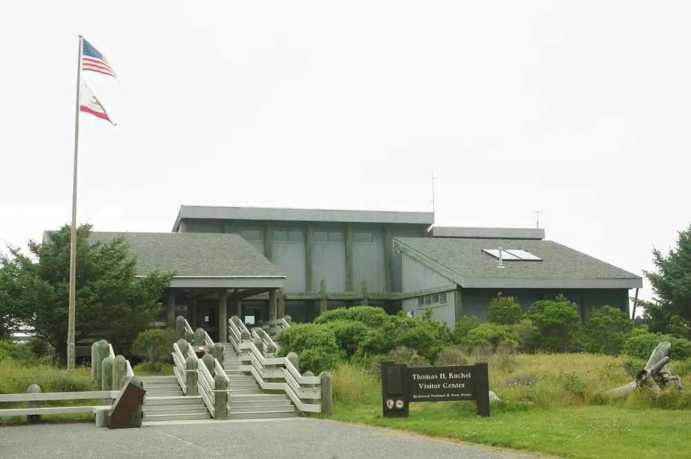
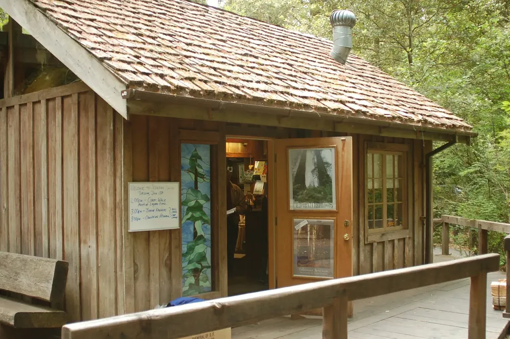
Thomas H. Kuchel Visitor Center The largest visitor centre, two miles (3 km) south of Orick right on US 101. The first stop for anyone coming from the south.
Add to your Redwood National and State Parks visit Open in OpenStreetMap ↗ Location source ↗
41.28686, -124.09094
All places
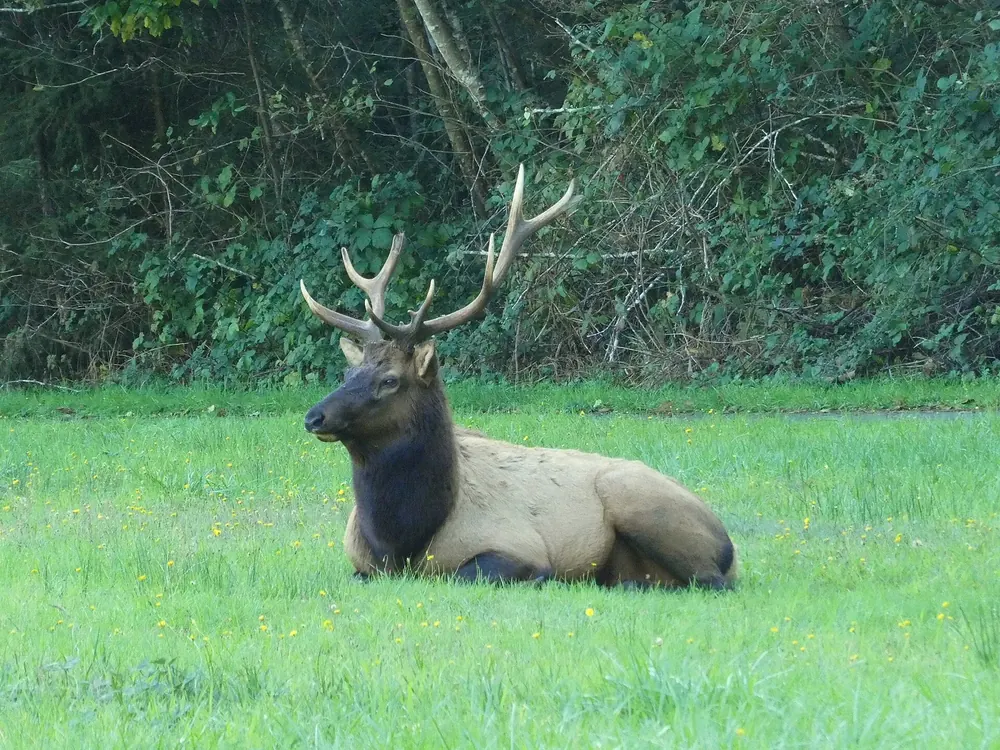
Prairie Creek Visitor Center Six miles (10 km) north of Orick on the Newton B. Drury Scenic Parkway, by the meadow where the elk graze.
Guided from here · Ad
Partner links: we may earn a commission if you book. Dates and prices with the provider.
Add to your Redwood National and State Parks visit Open in OpenStreetMap ↗ Location source ↗
41.36401, -124.02317
All places
Hiouchi Visitor Center Nine miles (14 km) north-east of Crescent City on US 199, the approach from Oregon.
Add to your Redwood National and State Parks visit Open in OpenStreetMap ↗ Location source ↗
41.79677, -124.08191
All places
In town, 1111 Second Street. Park headquarters is here too; park Wi-Fi is available at this location.
Add to your Redwood National and State Parks visit Open in OpenStreetMap ↗ Location source ↗
41.75285, -124.19419
All places Photo: Chmee2 ↗ · CC BY-SA 3.0 ↗
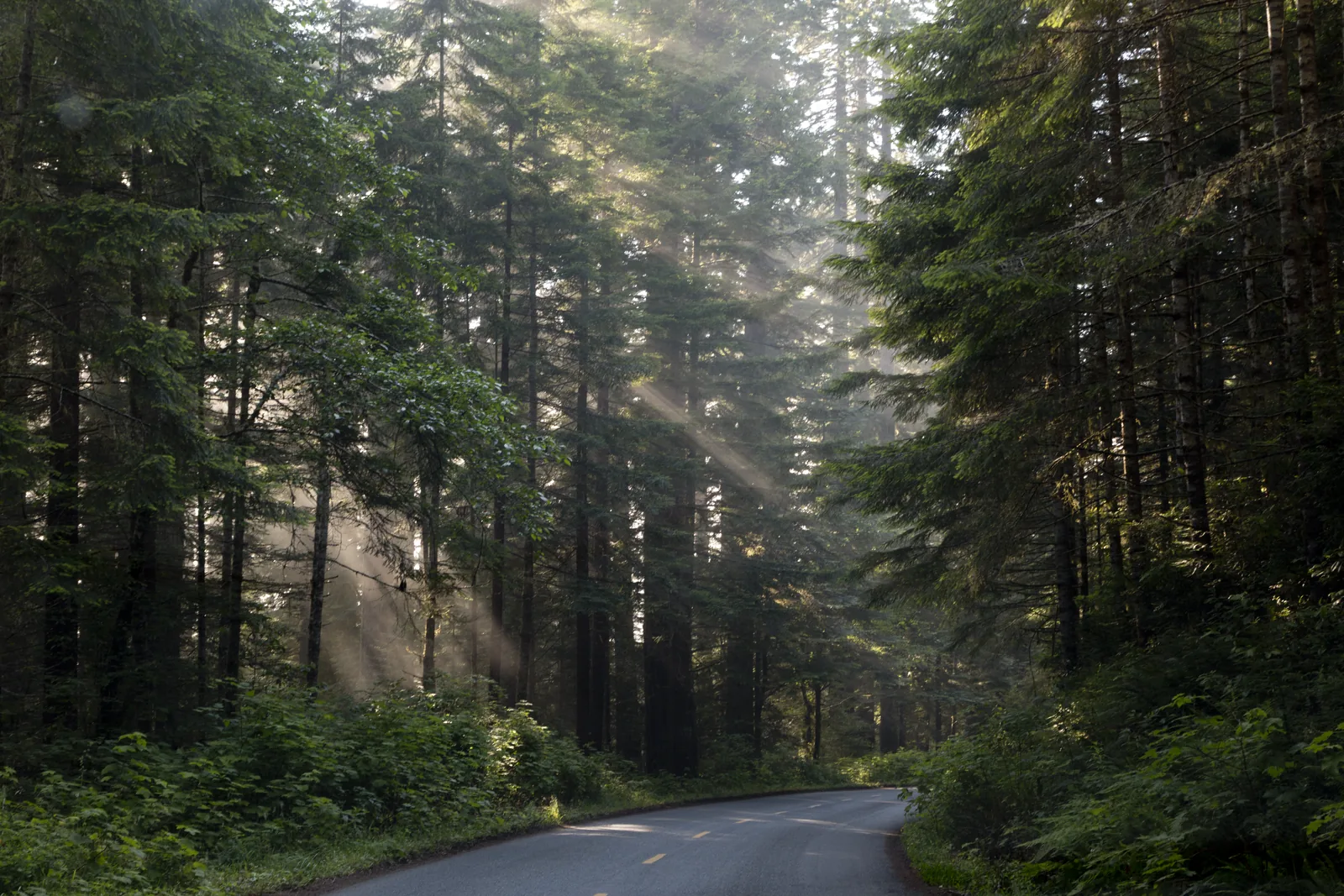
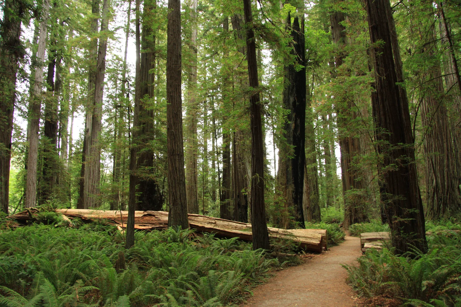
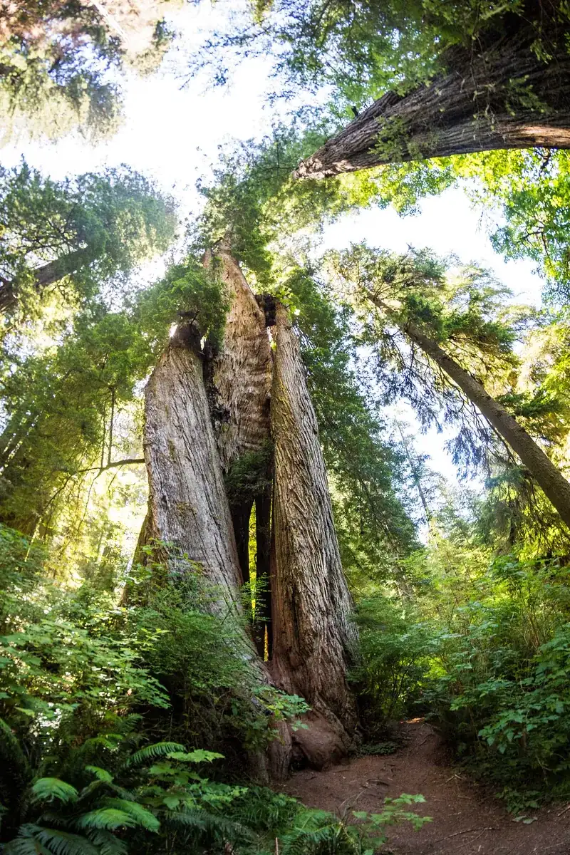
Stout Grove A level loop through one of the densest old-growth stands in the park, reached via the unpaved Howland Hill Road.
A gravel road with two groves along it, and a lesson in what a location shared online can do.
Road length 16 km (10 mi), about 45 minutes
Surface mostly unpaved, narrow
RVs and trailers not recommended
Location of the Grove of Titans known since shared online in 1998
Boardwalk length 1,300 ft, about 400 m
Project cost $3.5 million
Partners State Parks, Save the Redwoods League, Conservancy, NPS
Realigned trail Mill Creek Trail, 3 miles (5 km) Add to your Redwood National and State Parks visit Open in OpenStreetMap ↗ Location source ↗
41.79039, -124.08286
All places
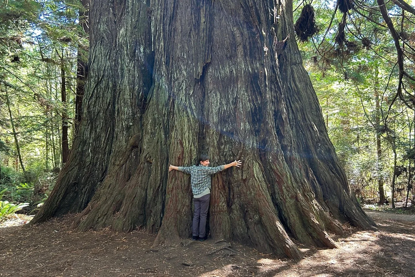
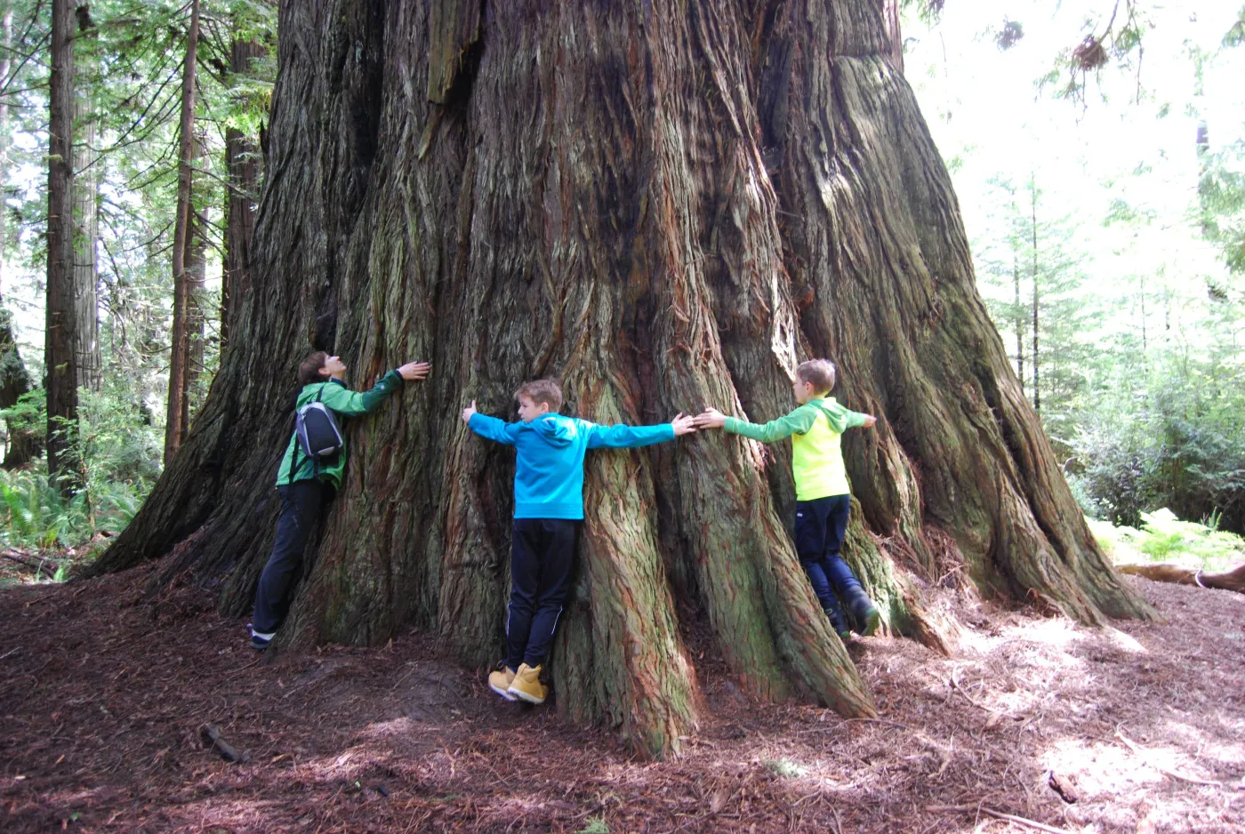
Grove of Titans The giants whose location was posted online in 1998. Since the rebuild, a boardwalk 400 m (1,300 ft) long leads over the root zone.
Add to your Redwood National and State Parks visit Open in OpenStreetMap ↗ Location source ↗
41.77830, -124.10028
All places Photo: Carol M. Highsmith ↗ · Public domain ↗
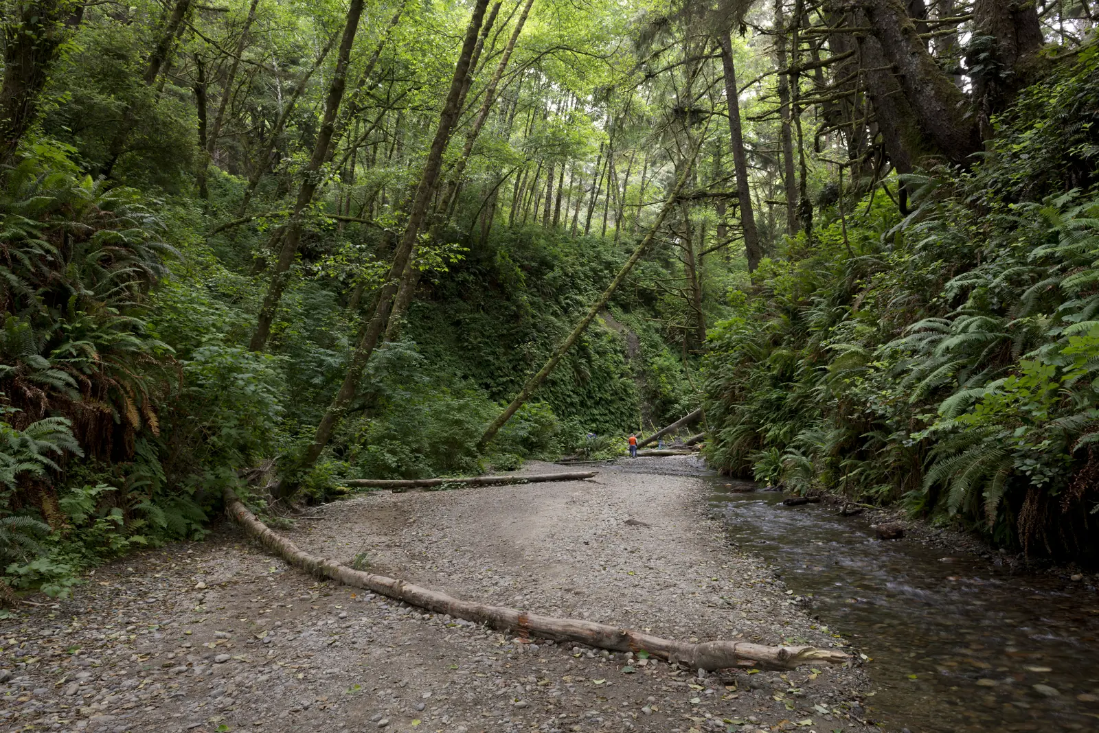
Fern Canyon Vertical walls completely covered in ferns above a creek bed. From 15 May to 15 September accessible only with a permit.
A canyon where the walls themselves are green.
Permit 15 May to 15 September
Permit cost free
Day-use fee $12, cash or cheque only
Permits per day 75 in advance, 100 the day before
Booking window up to 6 months; day before from 9:00
Access Davison Road, two creek crossings
Vehicle limit RVs over 7.3 m (24 ft) and trailers prohibited
Time slot 9:00 to 17:00 Add to your Redwood National and State Parks visit Open in OpenStreetMap ↗ Location source ↗
41.40352, -124.06349
All places Photo: Alexey Komarov ↗ · CC BY-SA 4.0 ↗
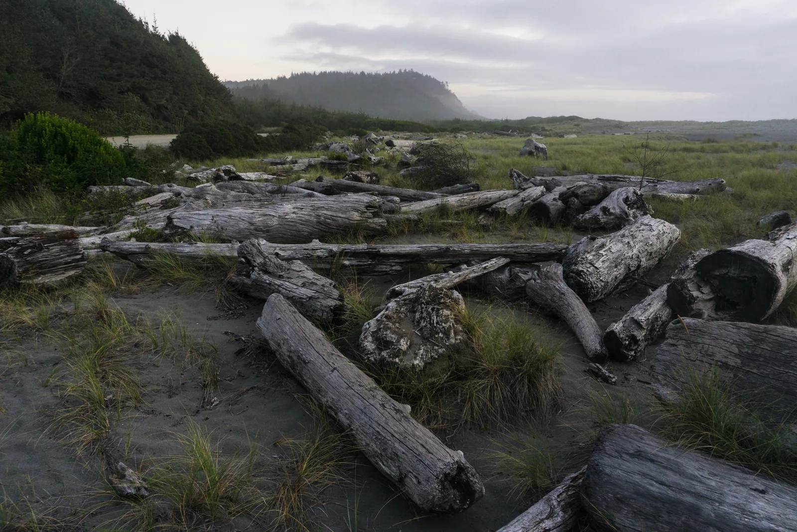
Gold Bluffs Beach Eleven miles (18 km) of sandy beach between the bluffs and the Pacific, reached via the unpaved Davison Road with two creek crossings.
Eleven miles (18 km) of beach below a line of bluffs, with herds standing on the sand.
Minimum distance 75 ft, about 23 m
Rut autumn
Calving spring
Warning signs tongue flicking, lowered head, pawing
Campground 26 sites, open all year, $35
Trailers prohibited
Backcountry camp on foot or by bike only Add to your Redwood National and State Parks visit Open in OpenStreetMap ↗ Location source ↗
41.39651, -124.06841
All places Photo: Redwood National and State Parks ↗ · Public Domain ↗
Tall Trees Grove The grove that needs a free permit and a gate code. Access over six miles (10 km) of gravel road.
The grove you get a gate code for.
Permits in advance 45, up to 180 days ahead
Permits the day before 10 each, morning and afternoon
Cost free
Gate code by email, 23 hours before
Drive about 1 hour, 6 miles (10 km) of it on gravel
Vehicle limit no RVs over 6.4 m (21 ft), no trailers
Hike 7.2 km (4.5 mi) return
Elevation change 240 m (790 ft) over the first 2.4 km (1.5 mi) Add to your Redwood National and State Parks visit Open in OpenStreetMap ↗ Location source ↗
41.20915, -124.01320
All places Photo: Robert LeRoy Knudsen ↗ · Public domain ↗
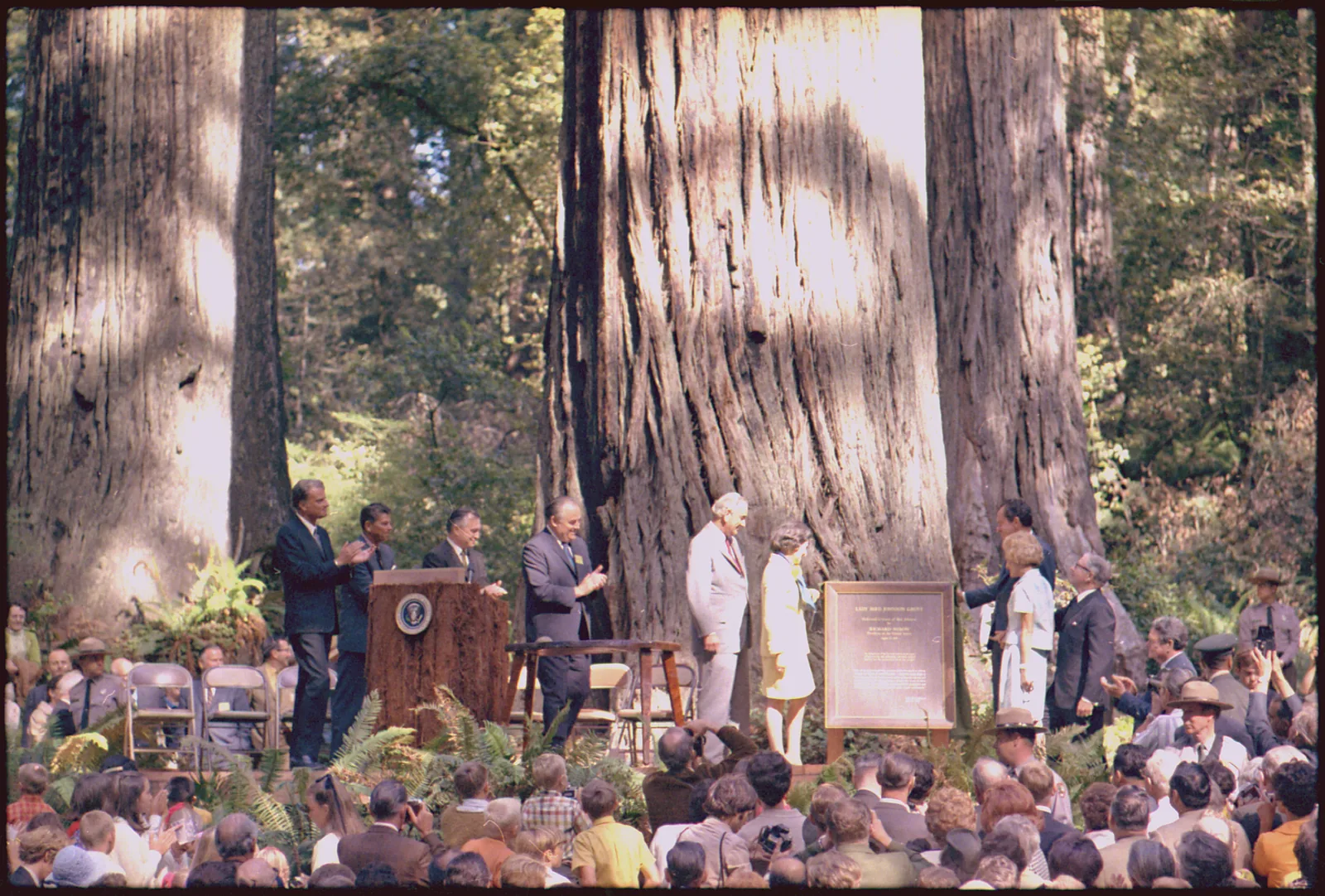
Lady Bird Johnson Grove 2.4 km (1.5 mi) loop, 30 m (100 ft) of climb. The car park is small and full on busy days; RVs and trailers are not recommended on Bald Hills Road.
The grove where the park was dedicated in 1969.
Loop 2.4 km (1.5 mi)
Climb 30 m (100 ft)
Duration 45 minutes to just over 1 hour
Access Bald Hills Road, 2.5 miles (4 km) from US 101
Car park small, full on busy days
Vehicles no RVs, no trailers
Audio tour in the NPS app Add to your Redwood National and State Parks visit Open in OpenStreetMap ↗ Location source ↗
41.30771, -124.02289
All places Photo: Steven Pavlov ↗ · CC BY-SA 4.0 ↗
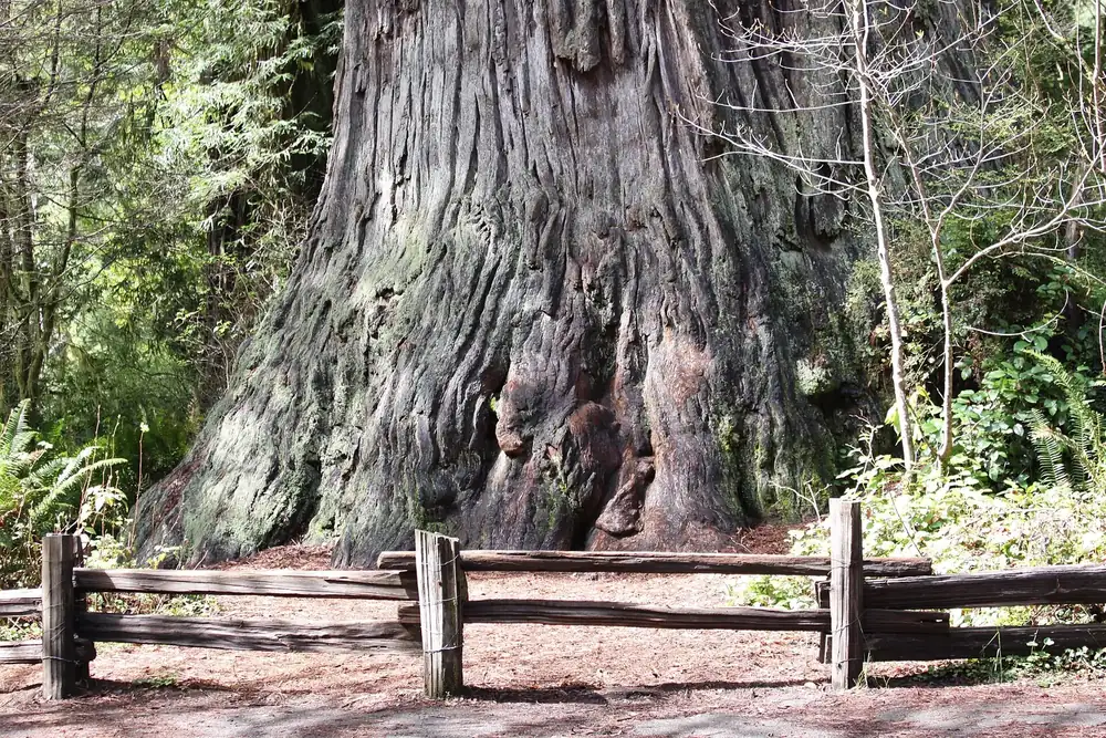
Big Tree A loop 800 m (0.5 mi) long right on the Newton B. Drury Scenic Parkway: the shortest walk to a giant anywhere in the park.
Add to your Redwood National and State Parks visit Open in OpenStreetMap ↗ Location source ↗
41.37361, -124.01379
All places Photo: m01229 from USA ↗ · CC BY-SA 2.0 ↗
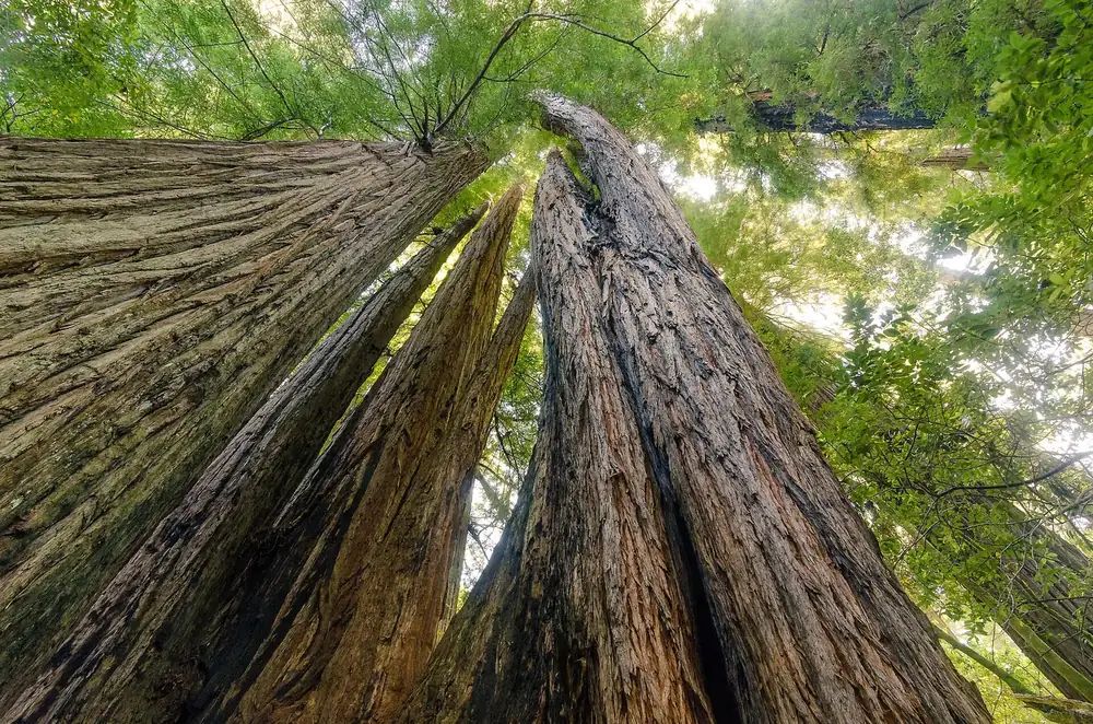
Corkscrew Tree Several trunks that have grown around each other: an object lesson in how redwoods regrow from stump sprouts.
Add to your Redwood National and State Parks visit Open in OpenStreetMap ↗ Location source ↗
41.38119, -124.01561
All places
Trillium Falls Destination of a 4.4 km (2.7 mi) loop from the Elk Meadow Day-Use Area, 137 m (450 ft) of climb. If you only want to see the falls, walk 800 m (0.5 mi) there and back.
Add to your Redwood National and State Parks visit Open in OpenStreetMap ↗ Location source ↗
41.32012, -124.04962
All places
'O Rew Redwoods Gateway Former sawmill site on Prairie Creek, owned by the Yurok Tribe since June 2026 and open to the public since 1 August 2026.
A sawmill site that has belonged to the Yurok Tribe since June 2026.
Area 125 acres, about 50 ha
History over 50 years as a sawmill
Bought by the League 2013
Transferred to the tribe June 2026
Open to the public since 1 August 2026
New trails over 1 mile (1.6 km), accessible
Restoration almost 1 mile (1.6 km) of Prairie Creek
Planting almost 500,000 native plants
Location near Orick, at the foot of Bald Hills Road Add to your Redwood National and State Parks visit Open in OpenStreetMap ↗ Location source ↗
41.30831, -124.04352
All places Photo: Pi.1415926535 ↗ · CC BY-SA 4.0 ↗
Elk Meadow One of the places where Roosevelt elk are regularly found, and where the minimum distance of 75 ft (23 m) matters.
Add to your Redwood National and State Parks visit Open in OpenStreetMap ↗ Location source ↗
41.32060, -124.04095
All places Photo: Linda Tanner ↗ · CC BY 2.0 ↗
Klamath River Overlook View over the mouth of the Klamath into the Pacific. RVs and trailers are not recommended on the Requa Road access.
Add to your Redwood National and State Parks visit Open in OpenStreetMap ↗ Location source ↗
41.55440, -124.08662
All places Photo: NPS ↗ · Public Domain ↗
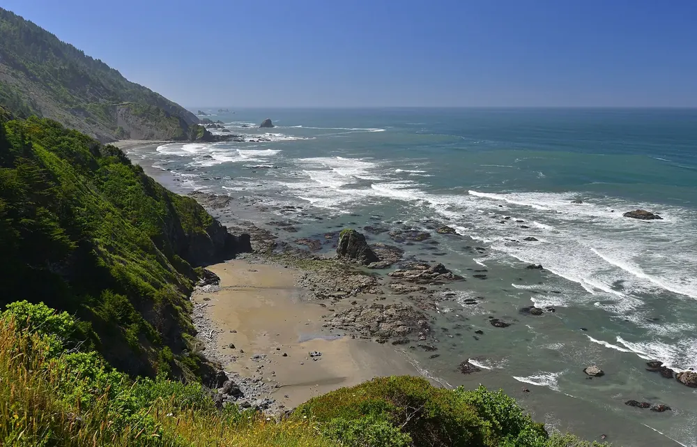
Crescent Beach Overlook Starting point for the section of the Coastal Trail towards Enderts Beach, a 1.3 km (0.8 mi) round trip with 30 m (100 ft) of climb.
Add to your Redwood National and State Parks visit Open in OpenStreetMap ↗ Location source ↗
41.70715, -124.14374
All places Photo: Tony Webster from Portland, Oregon ↗ · CC BY-SA 2.0 ↗
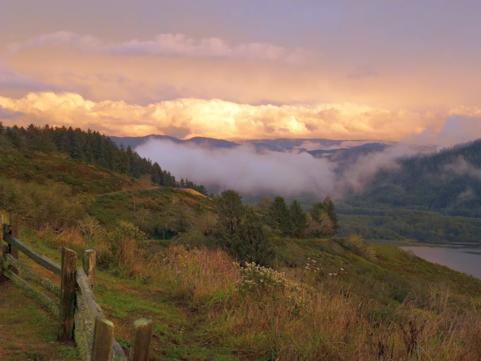
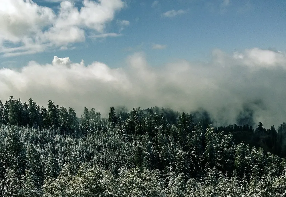
Redwood Creek Overlook At 640 m (2,100 ft) above the valley where the tallest known trees on Earth stand. In fog you see nothing from here, and fog is the norm.
Add to your Redwood National and State Parks visit Open in OpenStreetMap ↗ Location source ↗
41.25802, -123.98939
All places
Elk Prairie Campground 75 sites, open all year, $35 per night. RVs up to 8.2 m (27 ft), trailers up to 7.3 m (24 ft).
Add to your Redwood National and State Parks visit Open in OpenStreetMap ↗ Location source ↗
41.35992, -124.02920
All places Photo: NPS ↗ · Public Domain ↗
Jedediah Smith Campground 86 sites, open all year, $35 per night, with showers and cabins. RVs up to 7.6 m (25 ft).
Add to your Redwood National and State Parks visit Open in OpenStreetMap ↗ Location source ↗
41.79630, -124.08652