Month by month, measured at Furnace Creek: the basis for planning any trip here.
Death Valley is the hottest place on Earth and the driest in North America, but it is only a furnace in summer. From November to March, daytime highs in the valley are between 18 and 28 °C (64 and 82 °F).
The table shows the monthly averages at the Furnace Creek station for the years 1911 to 2007, as average daytime high and night-time low. We converted them ourselves from the park authority's Fahrenheit values: its table gives 41 °C for July, but 116 °F is 47 °C. The conversion of the April record is also wrong there.
It gets cooler with altitude, by 2 to 3 °C per 300 metres (3 to 5 °F per 1,000 ft). That is why people escape to the mountains in summer. In the valley itself, summer nights bring little relief: lows are often between 30 and 35 °C (85 and 95 °F).
The extremes: 57 °C (134 °F) on 10 July 1913 at Furnace Creek, and in the same year the cold record of −9 °C (15 °F). In 2001 the high stayed above 38 °C (100 °F) for 154 days in a row; in 1929 and 1953 no rain fell at all. Average annual rainfall is just under 5 cm (2 in), a fraction of what other deserts receive.
The park never closes: you can drive in and out at any time, all year. Some roads and facilities have their own hours, and the park authority closes areas in dangerous weather.
Death Valley does not accept cash for entrance or campground fees. You pay by credit or debit card, at machines that work around the clock, including at Badwater and Zabriskie Point, or in advance on Recreation.gov. The machines do not take mobile payments. There is no entry reservation.
3.4 million acres, about 13,800 km². As a result, there are often long drives between where you sleep and what you want to see; where you stay decides which parts of the park you can manage.
Along most park roads there is no mobile reception. The park and the visitor center have no street address; for your GPS, the park authority gives the coordinates of Furnace Creek Visitor Center: N 36°27.70, W 116°52.00 (degrees and decimal minutes, so the longitude is 116° 52′ 0″ W). It explicitly warns against relying on your car's navigation alone, which regularly sends travellers onto wrong or closed roads.
„The rocks really do move, pushed by ice less than five millimetres thick.“
Death Valley National Park · The Grandstand on Racetrack Playa at sunrise
Hikes & routes: viewpoints, short walks and the darkest skies
What is closed in 2026 and 2027
Scotty's Castle and Bonnie Clare Road are closed for flood repairs, with no reopening date set. Titus Canyon Road is being repaired: the one-way section, almost the whole road, is closed from 2 October 2026 to May 2027, and the western two-way section from North Highway to the Fall Canyon trailhead from 27 October to December 2026. The access road to Darwin Falls is expected to stay closed until summer 2027; you can walk there from the shoulder of CA 190. Emigrant Campground is closed indefinitely for water system repairs (as of 28 Sep 2026).
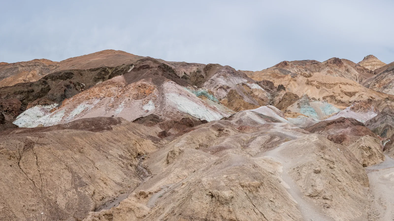
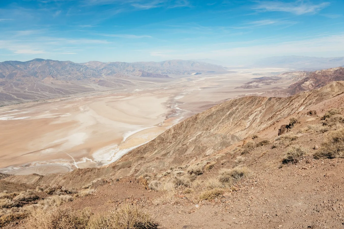
The most driven route is Badwater Road: Devils Golf Course, Badwater Basin and, on the way back, Artists Drive to CA 190, about an hour and a half in total. With a stop at Zabriskie Point if you are heading east, or at the sand dunes if you are heading west, it becomes two.
Harmony Borax Works: 0.6 km (0.4 mi), paved, half an hour. Salt Creek: 0.8 km (0.5 mi) on a boardwalk; the stream only carries water from November to May, and the pupfish spawn from February to April. Natural Bridge: 1.6 km (1 mi) round trip to the rock bridge. Mosaic Canyon: the first polished narrows are less than 800 metres (half a mile) from the car park.
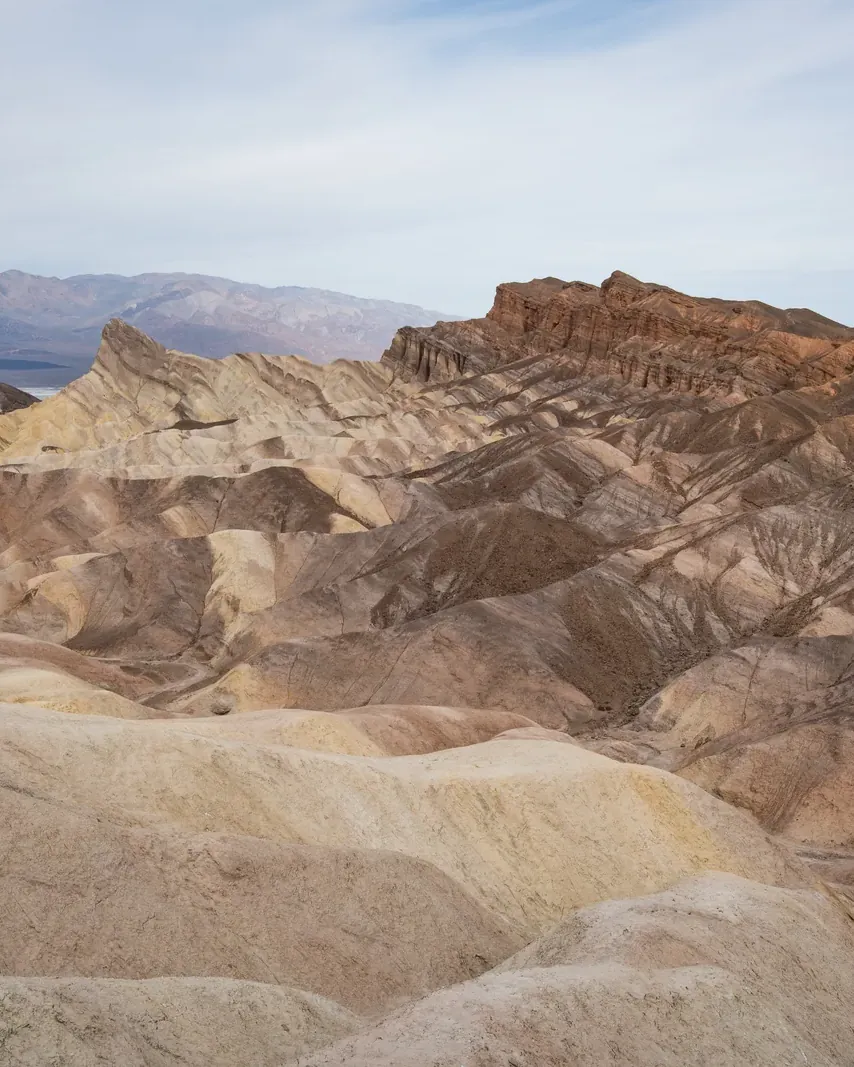
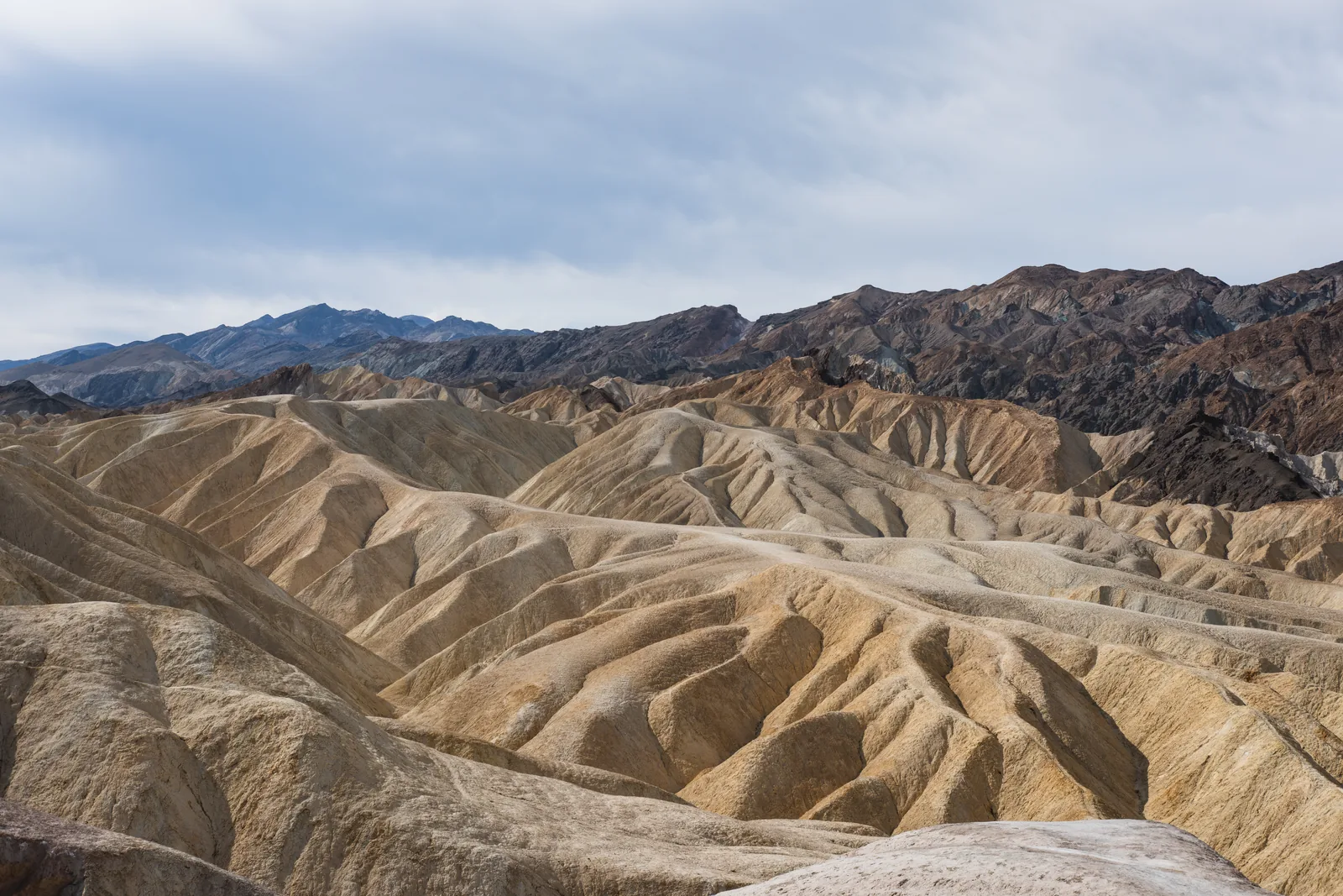
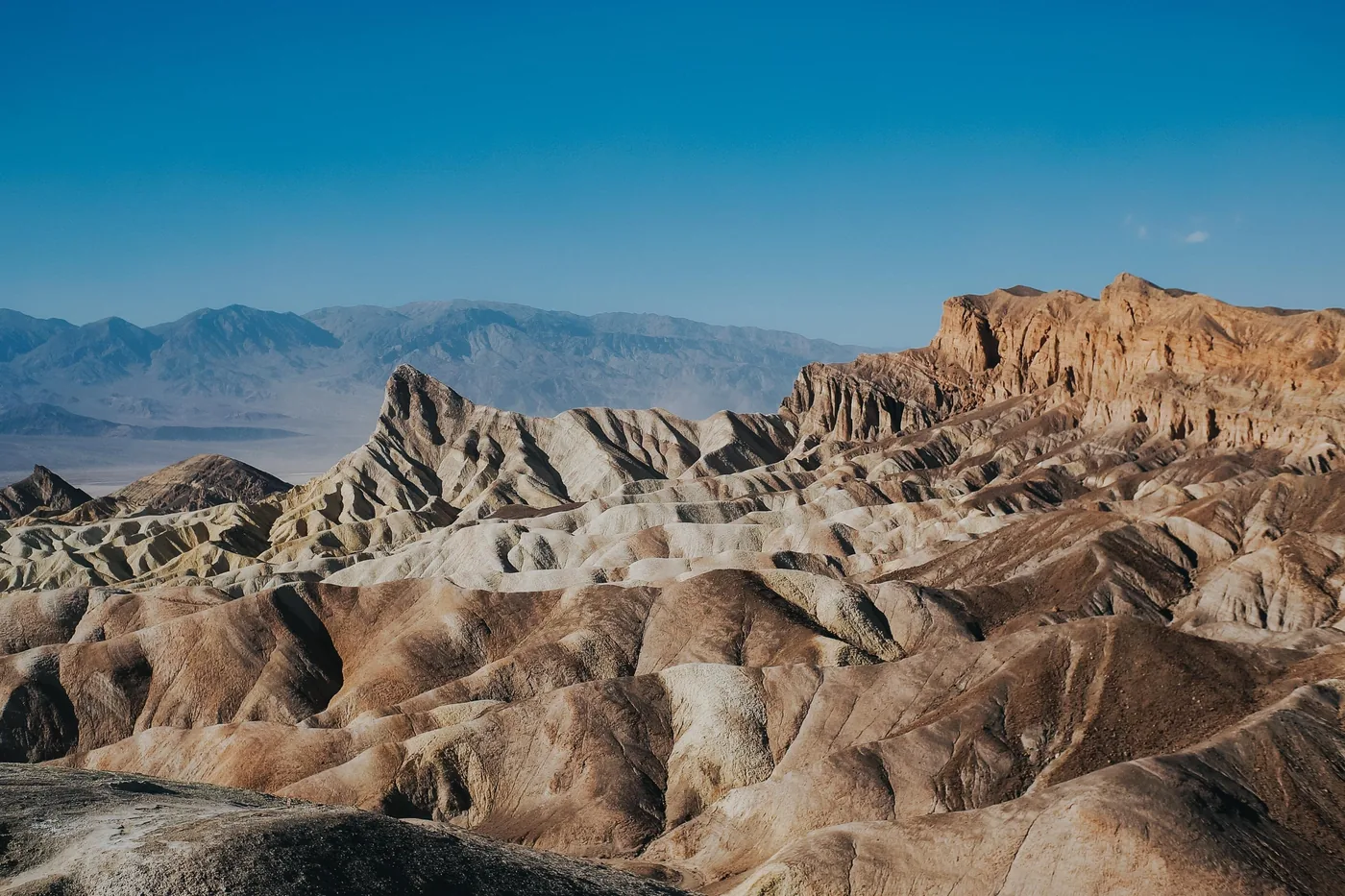
Between Golden Canyon on Badwater Road and Zabriskie Point lies a network of canyons and badlands: loops of 5 to 13 km (3 to 8 mi), 1.5 to 4.5 hours, with 163 to 254 m (535 to 833 ft) of elevation gain. Both trailheads have paved car parks and toilets.
When the valley gets too hot, the mountains remain. Wildrose Peak: 12.7 km (7.9 mi), 784 m (2,572 ft) of elevation gain, about six hours. Telescope Peak: 19.6 km (12.2 mi), 1,028 m (3,373 ft) of elevation gain, seven hours. Both start at the Wildrose Charcoal Kilns, with a maximum vehicle length of 7.6 metres (25 ft). In winter and spring there is snow at the top; you then need an ice axe and crampons.
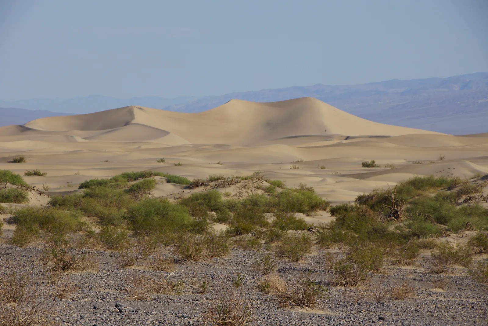
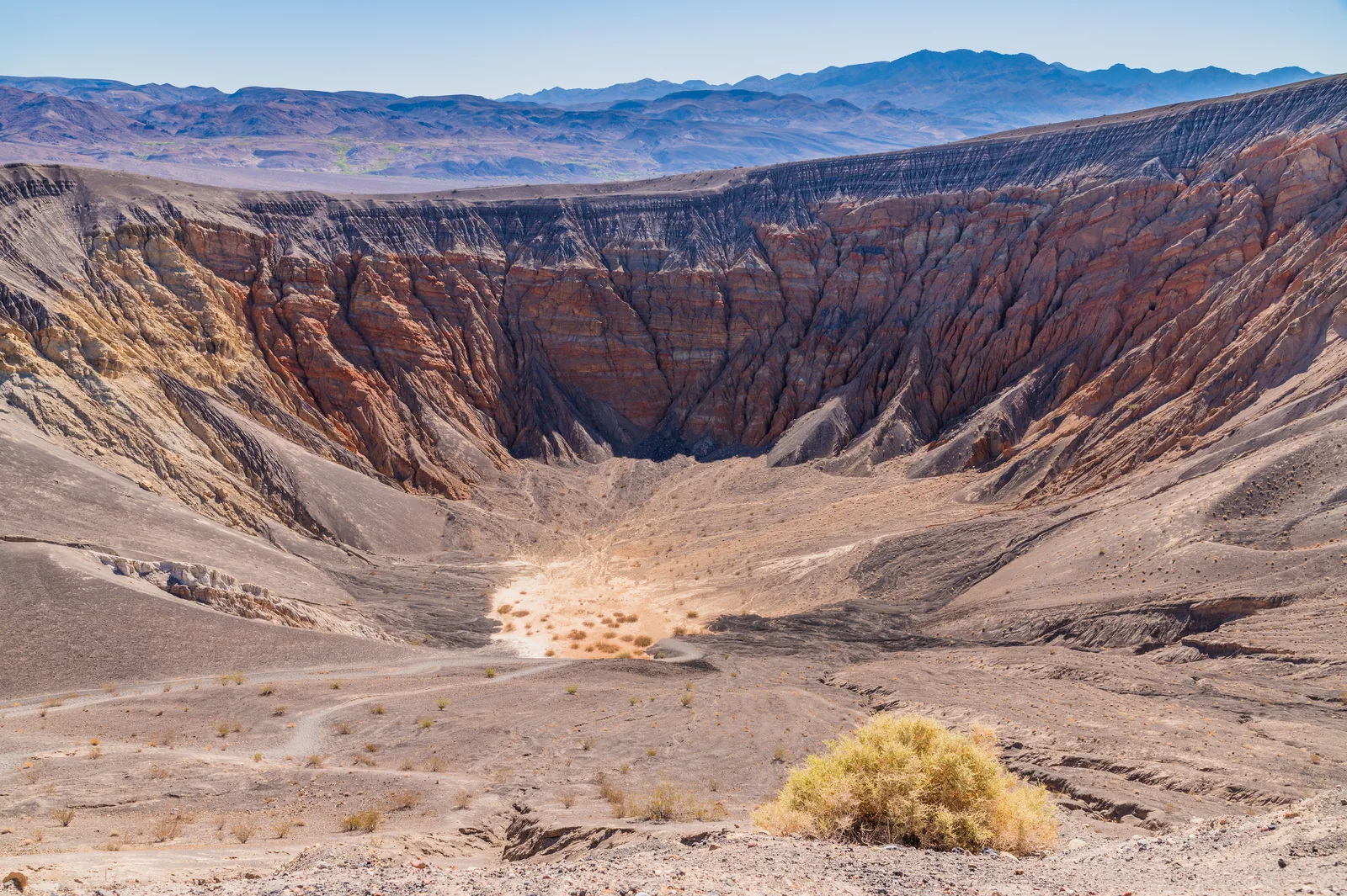
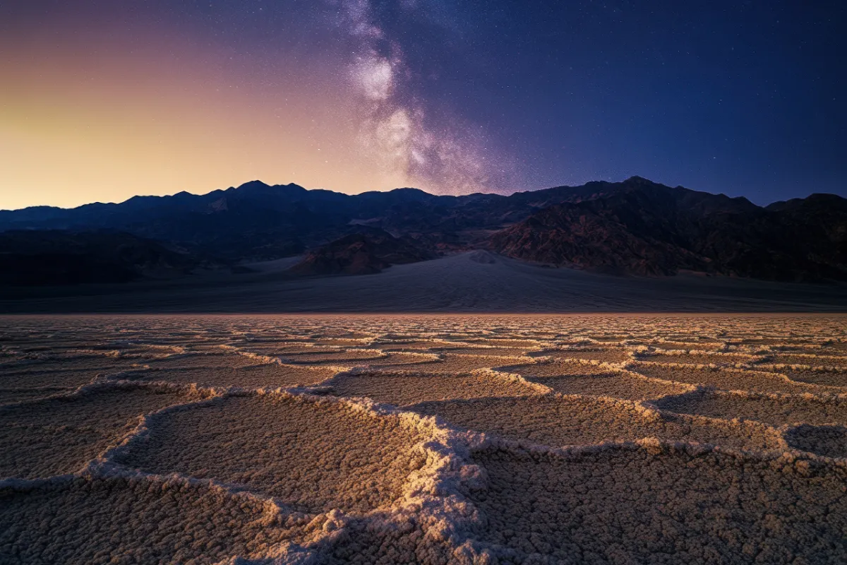
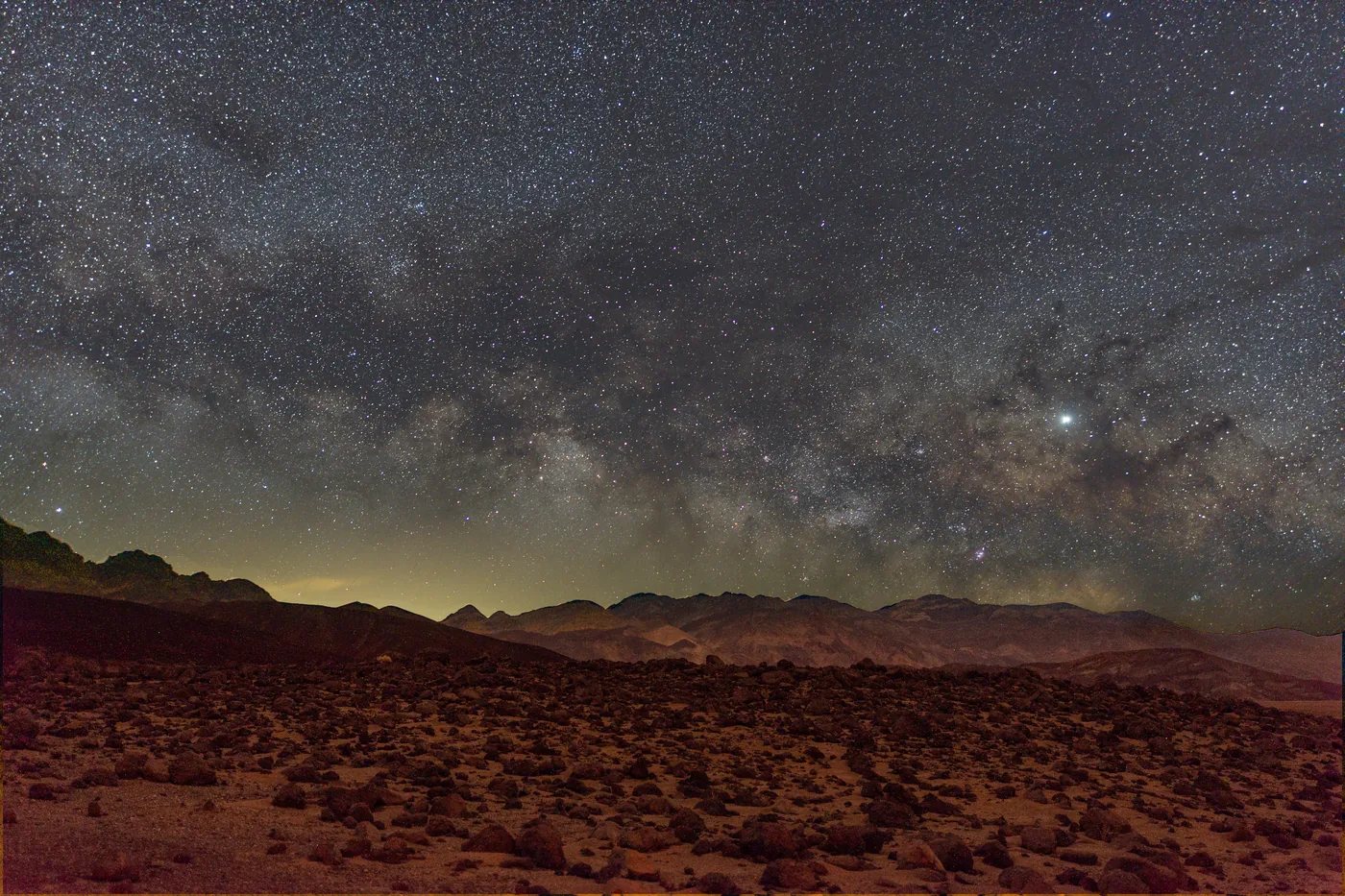
Death Valley is a dark sky park of the highest level (Gold Tier). Good places for the night sky: Mesquite Flat Sand Dunes, Harmony Borax Works, Badwater Basin and Ubehebe Crater. It is best on a new-moon night; your eyes need about 30 minutes to adjust to the darkness. Parking by the roadside is allowed for photography, camping there is not.
From mid-November to mid-April the rangers offer programs with no booking needed, such as a 45-minute talk at Badwater, a walk through Harmony Borax Works or an evening under the stars. The guided fossil walks are cancelled in 2026; the dates for 2027 will be set in December 2026.
The road to Racetrack Playa is rough; as a rule you need four-wheel drive, high clearance and heavy-duty tyres. The park authority does not recommend normal rental cars, which often get flat tyres there. From Furnace Creek it takes at least three and a half hours each way, with no mobile reception. To see the rocks and their tracks, drive three kilometres (two miles) south of the Grandstand car park and then walk at least 800 metres (half a mile) to the southeast corner of the playa.
In just over ten minutes a ranger shows what you should see in a single day in the park. The film is hosted by the park authority, and we link to it instead of embedding it, because the National Park Service player loads a Google analytics service when you play it. In English.
Drive from the Las Vegas Strip into the park for sunset, followed by stargazing. On the way back, a photo stop at the Sphere in Las Vegas, from outside.
Park entry included
Water and light snacks
English, Chinese
Pick-up included
Departure Pick-up in Las Vegas; the provider gives details after booking.
The provider names no specific places in the park, so where the sunset and stargazing take place is left open. Meals are not included, and a tip of 10 to 20 percent is recommended. Free cancellation only up to seven days in advance. For children under eight, a child seat costs USD 20.
View tour ↗Ad · partner link · checked 25 Sep 2026
Provider's product photo · GetYourGuide
Death Valley park authority (National Park Service) · Ranger programme · no reservation
Night Sky Talk and ranger evening programmes
Death Valley is a dark sky park of the highest tier (Gold Tier). At the Night Sky Talk, rangers introduce the night sky behind the Furnace Creek Visitor Center, and there are evening talks in the auditorium. If you want to watch without a programme, rangers recommend Mesquite Flat Sand Dunes, Harmony Borax Works, Badwater Basin and Ubehebe Crater.
45 minutes to 1 hour
Mid-November to mid-April
No reservation
Bring a red light, binoculars and a chair
Meeting point Back car park of the Furnace Creek Visitor Center: park in the main car park in front of the visitor centre and follow the red lights. The evening talks take place in the Furnace Creek Auditorium.
According to the park authority, programmes run from mid-November to mid-April, daily from December to March; in summer there are no outdoor programmes because of the heat. Dates are posted about a week ahead in the park's calendar and on the notice at the Furnace Creek Visitor Center; changes and cancellations are possible. No reservation is needed; arrive at least 5 minutes early. Arriving early also gives your eyes time to adjust to the dark. Park admission still applies. Every spring the park also holds a multi-day Dark Sky Festival with talks and telescopes.
Park authority page ↗Park authority programme · no partner link · checked 2 Oct 2026
Death Valley park authority (National Park Service) · Ranger programme · December to March
Ranger walks in Golden Canyon, through the dunes and at Badwater
In winter, rangers lead daily walks through the landscape on the valley floor: one hour through Golden Canyon, one hour through Mesquite Flat Sand Dunes, 45 minutes on the paved path at Harmony Borax Works and a 45-minute talk at Badwater Basin, below sea level.
45 minutes to 1 hour
Daily from December to March
No reservation
Golden Canyon: about 1.2 km (0.75 mi), easy
Meeting point At the respective car park: Golden Canyon, Mesquite Flat Sand Dunes, Harmony Borax Works or Badwater.
Dates are posted about a week ahead in the park's calendar and on the notice at the Furnace Creek Visitor Center; changes due to weather, emergencies or staffing are possible. No reservation is needed; arrive at least 5 minutes early. For Golden Canyon, bring sun protection, water and hiking shoes; the path at Harmony Borax Works is paved and about 500 m (0.3 mi) long. Park admission still applies. The ticketed guided fossil hikes are cancelled in 2026; the park will set the dates for 2027 in December 2026.
Park authority page ↗Park authority programme · no partner link · checked 2 Oct 2026
Ad · we may earn a commission if you book through this partner link. Offer details checked 25 Sep 2026. See official ticket information.
Nature: salt, heat and life at the limit
Why it gets so hot here
The valley is a long, narrow basin that reaches 86 metres (282 ft) below sea level and is walled in by high, steep mountain ranges. The sun heats the bare ground, the hot air rises, is trapped by the valley walls, sinks again and is heated even further on the way down. Four mountain ranges between the valley and the Pacific keep the rain out.
Almost 520 km² of salt flats, one of the largest protected areas of its kind in the world, mostly table salt. The salt comes from a drainage area of more than 23,000 km² whose floodwaters evaporate here. The thin crust easily breaks through to the mud below; tyre tracks and even footprints remain.
For decades it was a mystery how rocks weighing up to 320 kilograms travel across Racetrack Playa. In December 2013 researchers saw it happen for the first time: on a shallow winter lake, ice panels less than five millimetres thick form overnight; a light wind pushes them along with the rocks, at two to six metres per minute. The movement needs cold nights and may have become rarer since the 1970s.
Devils Hole, a detached unit of the park in Nevada, is home to the only natural population of the Devils Hole pupfish. Isolated for 10,000 to 20,000 years, it numbers 100 to 200 fish in winter and 300 to 500 in late summer. The water is a constant 33 °C (92 °F); the bottom of the cave, more than 150 metres (490 ft) deep, has never been measured. Strong earthquakes as far away as Japan and Chile make the water slosh.
The fearsome names of many places, such as Devils Golf Course, Hells Gate, Coffin Peak, Funeral Mountains and Dantes View, are no accident. When mining declined in the early 1930s, the mining companies turned to tourism, lured guests to their hotels with the sinister and campaigned for the valley to become a national monument.
The businessman Albert Mussey Johnson had the Death Valley Ranch in green Grapevine Canyon built in the 1920s and 1930s as a holiday home for himself and his wife Bessie. It became known as Scotty's Castle because Walter Scott, known as Death Valley Scotty, told everyone he had built it with money from his secret mines. Since the flood and a fire it has been closed and can only be visited on a booked guided tour.
The Timbisha Shoshone lived here for centuries before the first white settlers came to the valley; many places are still sacred to them. The park authority writes that it is currently working with the Timbisha Shoshone and other tribes to agree which stories it may publish. We follow the same restraint and write no more here than it has released.
The ghost town lies just outside the park near Beatty in Nevada. A little over a hundred years ago, Rhyolite was the largest town in southern Nevada with more than 10,000 inhabitants; a decade later it was deserted.
Nothing saved yet. Every place card has a pin, and so does every place on the Map. What you save collects here, with days, notes and a preview you can share.
Reality check
Share
The plan is stored in the link itself. Anyone who opens it sees the preview and can use the plan.
Image for your phone, with stops and map.
01Best time to visit: November to March
In July the average daily high is 47 °C (116 °F), and even the average night-time low is over 30 °C (86 °F).
Winter: the season for hiking
The park authority names November to March as the best time for hiking. Days in the valley are mild, nights cool and only occasionally frosty. The high peaks, however, are usually covered in snow at that time.
After well-spaced winter rain, the low elevations bloom from mid-February to mid-April and the higher slopes into July. The 2026 superbloom is over. Spring is often windy, and dust storms can blow up suddenly with cold fronts.
The main sights stay open, and many people come precisely for the heat. The park authority advises you to stay on paved roads and close to your car, and not to hike at low elevations. Summer 2024 set a record: an average daily high of 47.3 °C (117 °F), with 37 days above 48.9 °C (120 °F).
The low-elevation campgrounds reopen in late autumn, and Furnace Creek takes reservations from 15 October. Until then summer rules apply: only a few campgrounds are open, all first come, first served. The climate table above shows how warm it is and when.
Thunderstorms, especially in late summer, can trigger flash floods. On 20 August 2023, just 5.6 cm (2.2 in) of rain caused severe damage throughout the park.
Best months by the climate data: February to April and October and November. Average daytime highs of 17 to 27 °C, lows of 3 to 13 °C, 8 to 19 mm of precipitation a month. The hottest month is July, with average highs of 40 °C.
0°10°20°30°40°
Jan152
Feb173
Mar216
Apr2510
May3115
Jun3720
Jul4024
Aug3923
Sep3419
Oct2713
Nov206
Dec142
High °CLow °C
Daily highDaily lowPrecipitation
All monthly values as a table
Monthly averages 2001–2020, NASA POWER model
Month
High °C
Low °C
Precipitation mm
January
14.7
2.0
17
February
16.6
3.0
19
March
21.2
6.4
11
April
25.2
9.7
8
May
30.7
14.7
5
June
37.1
20.2
2
July
40.0
24.4
10
August
38.8
23.3
8
September
34.5
19.3
8
October
27.0
12.6
11
November
19.7
6.2
8
December
13.7
1.8
17
Year
124
Modelled values, not a weather station: NASA POWER (MERRA-2) for a grid cell of about 55 × 55 km around the map point Furnace Creek Visitor Center (36.46° N, 116.87° W), with an average cell elevation of about 850 m. Averages for 2001–2020. Higher ground and valleys can differ markedly.
No bus, no train: you reach Death Valley by car or on a permitted tour.
From Las Vegas via Pahrump
According to the park authority, the fastest route is via Pahrump: from Interstate 15 take NV 160 to Pahrump, north of town turn onto Bell Vista Road, which becomes Stateline Road in California, and follow it to Death Valley Junction, then briefly take CA 127 and turn left onto CA 190. About 195 km (121 mi), roughly two hours.
From the Sierra Nevada you come in on CA 190 from Olancha, reached via SR 136 from Lone Pine, or on SR 178 through Panamint Valley from Trona. Both routes cross sparsely populated country; there is no mobile reception along most roads.
There is no public transport to the park or within it. Most visitors come in their own vehicle or as part of a permitted tour. Furnace Creek has a small airstrip for private aircraft, with no fuel.
There are three fuel stations in the park: The Oasis in Furnace Creek with two grades of petrol and diesel, Panamint Springs with petrol and diesel, and Stovepipe Wells with 87-octane petrol only, no diesel. There are no fast chargers for electric cars in the park; the nearest are in Beatty, Nevada, 69 km (43 mi) from Furnace Creek. In the park there are only slow charging points in Furnace Creek and Stovepipe Wells.
Most rental agreements allow paved roads only; the rental company will charge you for damage on dirt roads. If you drive off the pavement anyway, check that there is a full-size spare tyre on board that is not secured with a lock, and that you have the tools to change it.
The Badwater Basin car park is on Badwater Road, 27 km (17 mi) or 30 minutes south of Furnace Creek. It is paved, has large spaces for RVs and buses and a toilet; entrance passes are sold here too. The pool and the boardwalk are reached directly from the car park.
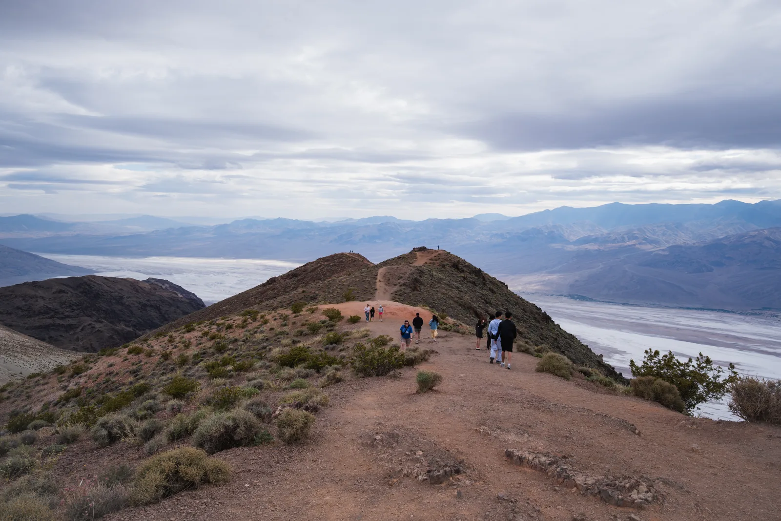
From the Furnace Creek Visitor Center it is a 15-minute drive east on Highway 190 to the car park, which has spaces for cars as well as buses and RVs. The viewpoint is a 400 m (¼ mi) walk uphill on a paved trail. The Badlands Loop Trail also starts at the car park.
Full-day tour with a maximum of 14 guests from the hotels on the Strip: Dantes View, Zabriskie Point, Badwater, Devils Golf Course, a drive through Artists Palette and a stop at Furnace Creek Visitor Center. The guide speaks English; a free app also provides the tour commentary in German.
Departure Pick-up at hotels within three miles of the Las Vegas Strip, about 30 to 45 minutes before the 8:00 start.
According to the list of inclusions: park entry, a sandwich lunch (vegetarian available), snacks and water. Bring a passport or photo ID; pets and large luggage are not allowed. If you book eight seats, the tour is private. Free cancellation up to two days in advance; dates and prices from the provider.
View tour ↗Ad · partner link · checked 26 Sep 2026
Good Trip Adventures · Private tour · pickup in and near the park
Private day tour with a hike, pickup in the park or up to an hour away
A guide picks you up at your accommodation and plans the day around your interests. The provider's programme: a shorter or longer hike through Golden Canyon, Devils Golf Course, Badwater Basin, the drive along Artists Drive, Zabriskie Point and finally Dantes View. A picnic is served along the way.
Departure Pickup anywhere within one hour of the park. Viator lists The Inn at Death Valley, The Ranch at Death Valley and the airstrip at Furnace Creek as pickup points; further away only by arrangement and at extra cost.
Included according to the list of services: private air-conditioned transport, park admission, lunch and a medically trained naturalist guide. Tips are not included; the provider suggests 10 to 20 percent. The description mentions a picnic lunch or dinner. The times include the drive from your accommodation. According to the product page, not wheelchair accessible. The provider asks you to fill in a guest information form in advance; the guide gets in touch 1 to 2 days before the tour. Bring a water bottle, sun protection, a day pack, layers and shoes with good grip. Free cancellation up to 24 hours in advance.
A private vehicle with everyone in it costs $30 and is valid for seven days, with as many entries and exits as you like. A motorcycle costs $25; if you arrive on foot or by bike and are 16 or over, you pay $15. Children under 16 go free.
In 2026, visitors aged 16 or over without US residence started paying an extra $100 at eleven parks: Acadia, Bryce Canyon, Everglades, Glacier, Grand Canyon, Grand Teton, Rocky Mountain, Sequoia & Kings Canyon, Yellowstone, Yosemite and Zion. Death Valley is not on the list: next to the vehicle fee, the fees page states explicitly that all visitors, including non-residents, can use it. Two adults in a rental car pay $30 here, not $230.
The non-resident America the Beautiful Pass costs $250 and covers the entrance fee and the surcharge for the whole vehicle for a year. For Death Valley alone it makes no sense. But once a surcharge park is on your route, the numbers change: Death Valley plus Grand Canyon costs two adults $265 when paid separately, more than the pass.
The park's annual pass is not for international visitors
The Death Valley Annual Pass at $55 is valid for twelve months for one vehicle, but according to the park authority it is only available to US citizens and US residents. As of 2026, the same applies to the National Park Service's fee-free days.
Authorised outlets also sell the $30 weekly pass for cash: in the park, the Death Valley Natural History Association bookstore in Furnace Creek Visitor Center and Panamint Springs Resort; outside it, vendors in Shoshone, Pahrump, Lone Pine and Ridgecrest, among others. The machines only sell the weekly pass, not annual passes.
If you enter the park on one of its many gravel roads, you can buy the pass in advance on Recreation.gov and leave a printout on the dashboard. On these roads there are no services and no mobile reception for many kilometres.
If you sleep in the park, you save hours in the car and are already in place for sunrise.
Hotels in the park
All four are privately run and open all year: the historic Inn at Death Valley in Furnace Creek; The Ranch at Death Valley in Furnace Creek with restaurants, a shop and a fuel station; Stovepipe Wells Village with a restaurant and a 24-hour fuel station; and Panamint Springs Resort in the west, which also has a campground.
The park authority gives these driving times to Furnace Creek Visitor Center: Beatty in Nevada about 45 minutes, Shoshone one hour, Pahrump an hour and a half, Lone Pine an hour and three quarters, Las Vegas and Ridgecrest two and a half hours.
Only Furnace Creek takes reservations, from 15 October to 15 April, up to six months in advance on Recreation.gov. All other campgrounds are first come, first served and paid by card at a machine. Furnace Creek and Texas Springs are usually full at weekends; according to the park authority, Sunset, the largest campground, almost always has space.
From mid-April to mid-October only a few campgrounds stay open; at midnight it can still be over 38 °C (100 °F). All are then first come, first served, and none is staffed. The park authority recommends the higher campgrounds Mesquite Spring, Emigrant and Wildrose; Emigrant, however, is currently closed (see closures above).
No more than eight people and two vehicles per site. In Furnace Creek you may camp 14 nights per calendar year, in the rest of the park 30. Generators may run from 7:00 to 19:00, and not at all in Texas Springs. Fires only in the park's metal fire rings; all plants are protected, and firewood is sold in the shops in Furnace Creek and Stovepipe Wells. Wildrose, Thorndike and Mahogany Flat take vehicles up to 7.6 metres (25 ft), Emigrant tents only.
Everyone knows about the heat. The most common cause of death here is something else.
The greatest danger is the car
The park authority says it in so many words: the most dangerous thing in Death Valley is not the heat but single-vehicle rollovers. Many roads date from the 1930s and are narrow and winding. So keep to the speed limits, use a low gear downhill and wear your seat belt.
At least four litres (one gallon) per person per day, plus balanced meals and attention to electrolytes. Drinking water is available in Furnace Creek, Stovepipe Wells and Panamint Springs. Warning signs of heat illness are dizziness, nausea and headache; if you notice them, get out of the heat at once. You can get advice at Furnace Creek Visitor Center, daily from 8:00 to 17:00.
In summer, stay on paved roads. If your car breaks down, wait with it until help arrives; tow services are hours away. Carry extra drinking water in the car, and make sure someone outside your travel group knows your planned route.
Flash floods come fast and without warning, carrying rocks and debris. Do not hike in canyons when it is raining or rain is likely; if you are caught, climb to higher ground immediately. Do not enter the tunnels and shafts of the many old mines: they can collapse and may hide concealed shafts and toxic gases.
Driving off designated roads is prohibited, including on dunes and salt flats. The tracks remain for decades. The penalty is at least $750 and/or up to six months in prison.
Dogs are allowed, but only on a leash on roads and in developed areas, not on trails or cross-country; the park authority therefore tends to advise against bringing them. You may walk them on the gravel roads, such as Twenty Mule Team Canyon Road.
06Frequently asked questions: Death Valley National Park
How much is the Death Valley entrance fee for international visitors?
A private vehicle with everyone in it costs $30 for seven days, the same for international visitors as for US citizens. Death Valley does not charge the $100 surcharge for visitors without US residence; it applies only at eleven other parks, including Grand Canyon, Yosemite, Zion and Sequoia.
In July the average daytime high at Furnace Creek is 47 °C (116 °F) and the night-time low 31 °C (88 °F). The record is 57 °C (134 °F), measured on 10 July 1913. Winter is mild: in December and January around 18 to 19 °C (65 to 67 °F) by day and 3 to 4 °C (38 to 40 °F) at night.
November to March, according to the park authority; that is when hiking in the valley is pleasant. In summer the low elevations are dangerous, and even in spring and autumn the heat is barely bearable for most people.
Yes, in a car with air conditioning. The main viewpoints stay open. The park authority advises you to stay on paved roads and close to your vehicle, carry plenty of water and not hike at low elevations.
Not at the entrance or at the campgrounds: Death Valley only accepts cards. You can buy the $30 weekly pass for cash, however, at the bookstore in Furnace Creek Visitor Center, at Panamint Springs Resort and at some vendors outside the park.
No. It has been closed since a flash flood in October 2015, when a whole year's rain fell in five hours. The repairs cost about $66 million, and no reopening date has been set.
Can I drive a rental car on Death Valley's dirt roads?
Usually not: most rental agreements allow paved roads only, and the rental company will charge you for damage off them. If you drive anyway, you need a full-size, freely accessible spare tyre and the tools to change it.
In Badwater Basin, 86 metres (282 ft) below sea level: the lowest point in the United States. Only 24 km (15 mi) away, Telescope Peak, the highest summit in the park, rises to 3,368 metres (11,049 ft).
The name was given by a group of emigrants who got lost here in the winter of 1849–50. As far as we know today, only one of them died, but they all believed the valley would be their grave. As they climbed over the Panamint Mountains, one of them is said to have turned round and said “Goodbye, Death Valley”.
Which national parks charge the $100 non-resident fee?
Since 2026, eleven parks charge visitors aged 16 or over without US residence an extra $100: Acadia, Bryce Canyon, Everglades, Glacier, Grand Canyon, Grand Teton, Rocky Mountain, Sequoia & Kings Canyon, Yellowstone, Yosemite and Zion. Death Valley is not one of them.
Yes. The non-resident America the Beautiful Pass costs $250 and covers the entrance fee and the surcharge for the whole vehicle for a year. For Death Valley alone it is not worth it, but with a surcharge park such as Grand Canyon on your route it quickly pays off.
Researched 2 Oct 2026. Not a live status. Dates apply only to the year stated. A successful automatic fetch is not an editorial confirmation; outdated automatic values are hidden and replaced by the source link.