All places
Furnace Creek Visitor Center The park's main visitor hub, with passes, water and the ranger programs. The coordinates match those given by the park authority.
Guided from here
Park authority programmes, no partner links. Dates on their website.
Add to your Death Valley National Park visit Open in OpenStreetMap ↗ Location source ↗
36.46193, -116.86684
All places Surroundings Photo: Steve Riggins ↗ · CC BY 3.0 ↗
Stovepipe Wells Ranger Station The second place in the park to pay your fee: passes are sold during office hours, and a machine works around the clock. A hotel, a shop and a fuel station are next door.
Add to your Death Valley National Park visit Open in OpenStreetMap ↗ Location source ↗
36.60801, -117.14454
All places Photo: samiamx ↗ · CC BY 2.0 ↗
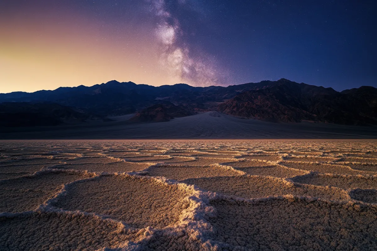
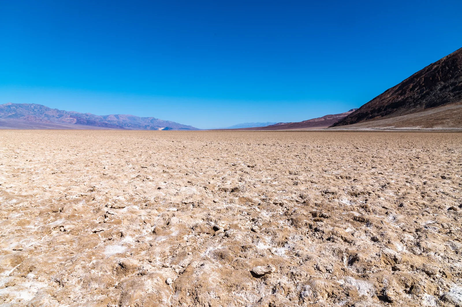
Badwater Basin 86 metres (282 ft) below sea level, 29 km (18 mi) south of the visitor center. A ramp leads from the car park onto the boardwalk and out to the salt flat.
The lowest point in North America: a salt flat you can walk onto straight from the car park.
Coordinates 36.229685, −116.767918
Walk 1.6 km (1 mi) round trip to the edge of the salt flat
Getting there 30 minutes south of Furnace Creek
Note do not walk out in the heat Add to your Death Valley National Park visit Open in OpenStreetMap ↗ Location source ↗
36.22969, -116.76792
All places Photo: Supercarwaar ↗ · CC BY-SA 4.0 ↗
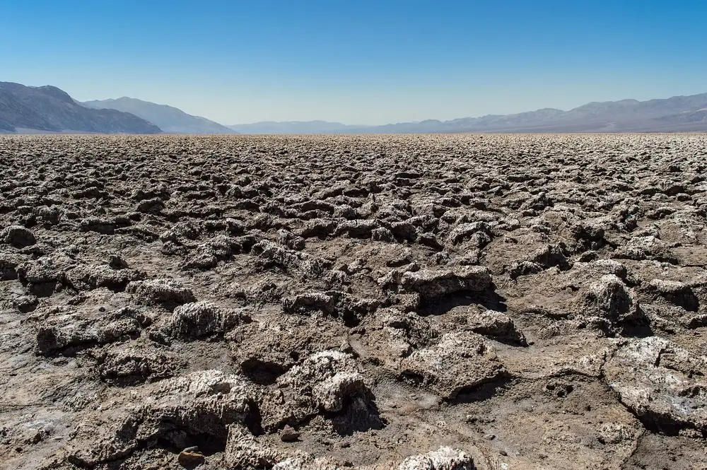
Devils Golf Course Jagged, heaved-up salt on Badwater Road, part of the classic loop between Badwater and Artists Drive.
Add to your Death Valley National Park visit Open in OpenStreetMap ↗ Location source ↗
36.28583, -116.82619
All places Photo: Vadim Manuylov ↗ · CC BY-SA 3.0 ↗
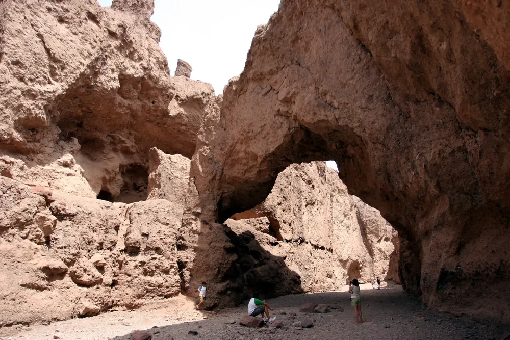
Natural Bridge 1.6 km (1 mi) round trip through a rocky canyon to the rock bridge. The gravel access road is usually passable in a normal car.
Add to your Death Valley National Park visit Open in OpenStreetMap ↗ Location source ↗
36.28486, -116.76576
All places Photo: Christian David ↗ · CC BY-SA 4.0 ↗
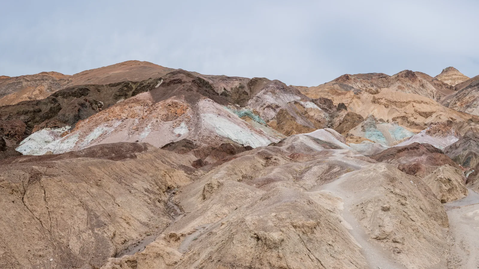
Artists Palette Car park on Artists Drive, which branches off Badwater Road. The hills glow at their best in the afternoon and at sunset.
Hills in pink, turquoise and ochre on Artists Drive, at their best in the late-afternoon light.
Coordinates 36.363515, −116.802741
Location Artists Drive, branching off Badwater Road
Best time sunset
Part of the classic loop on Badwater Road Add to your Death Valley National Park visit Open in OpenStreetMap ↗ Location source ↗
36.36351, -116.80274
All places Photo: Domenico Convertini from Zurich, Schweiz ↗ · CC BY-SA 2.0 ↗
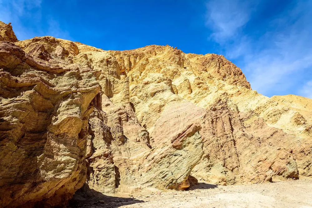
Golden Canyon Trailhead on Badwater Road, three kilometres (two miles) south of CA 190. From here, trails lead through the badlands up to Zabriskie Point.
Add to your Death Valley National Park visit Open in OpenStreetMap ↗ Location source ↗
36.42076, -116.84656
All places Photo: Christian David ↗ · CC BY-SA 4.0 ↗
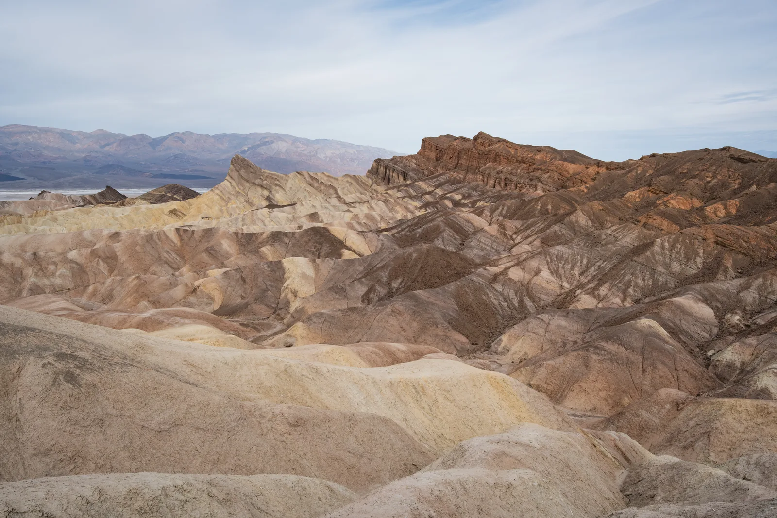
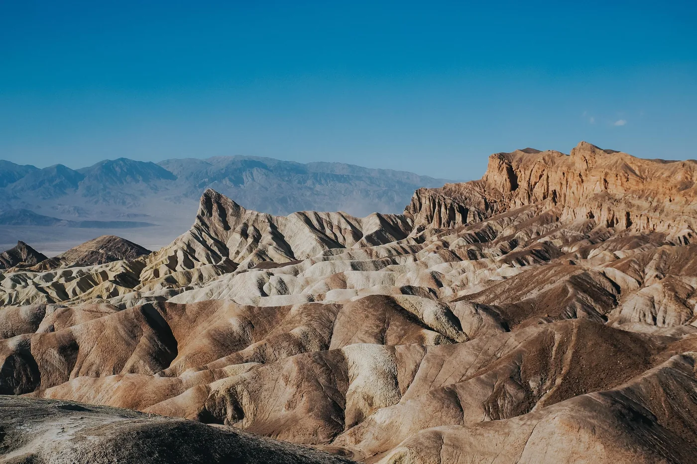
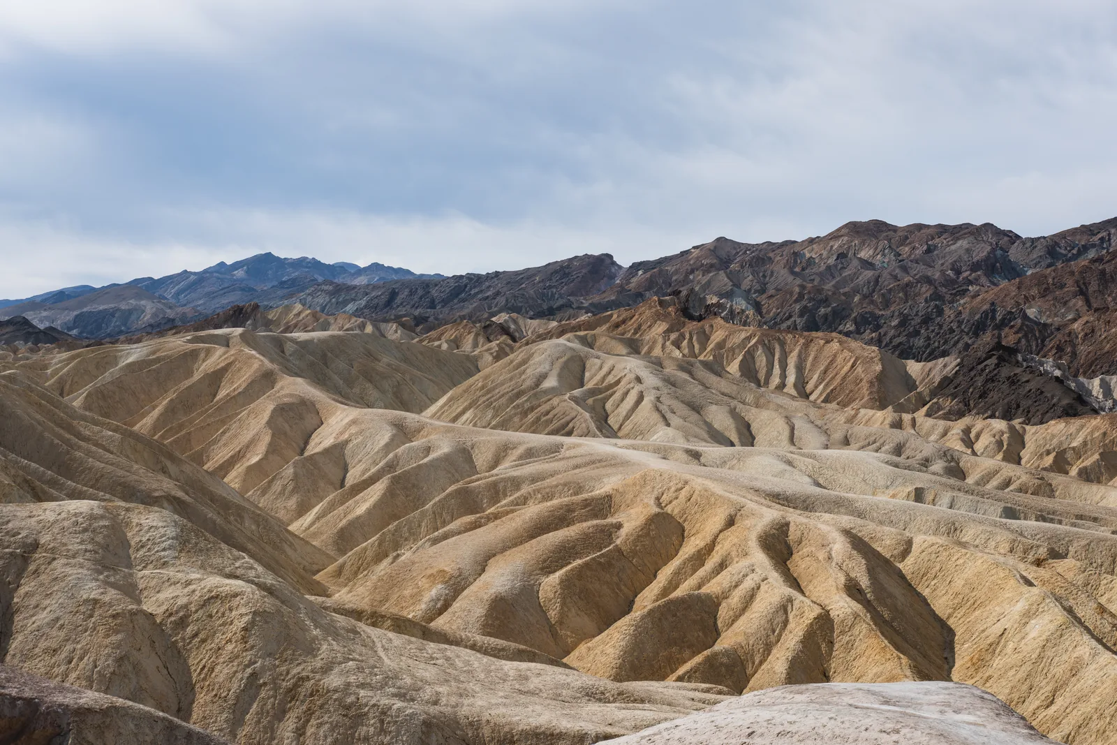
Zabriskie Point View over the yellow badlands on CA 190. One of the most popular spots for sunrise and sunset.
The viewpoint above the yellow badlands, and the upper end of the trails from Golden Canyon.
Coordinates 36.420047, −116.812290
Location CA 190, 5.6 km (3.5 mi) east of Badwater Road
Trails 5 to 13 km (3 to 8 mi), 1.5 to 4.5 hours
Best time sunrise and sunset Add to your Death Valley National Park visit Open in OpenStreetMap ↗ Location source ↗
36.42005, -116.81229
All places Photo: Christian David ↗ · CC BY-SA 4.0 ↗
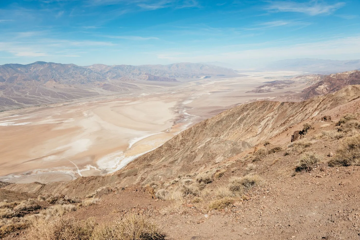
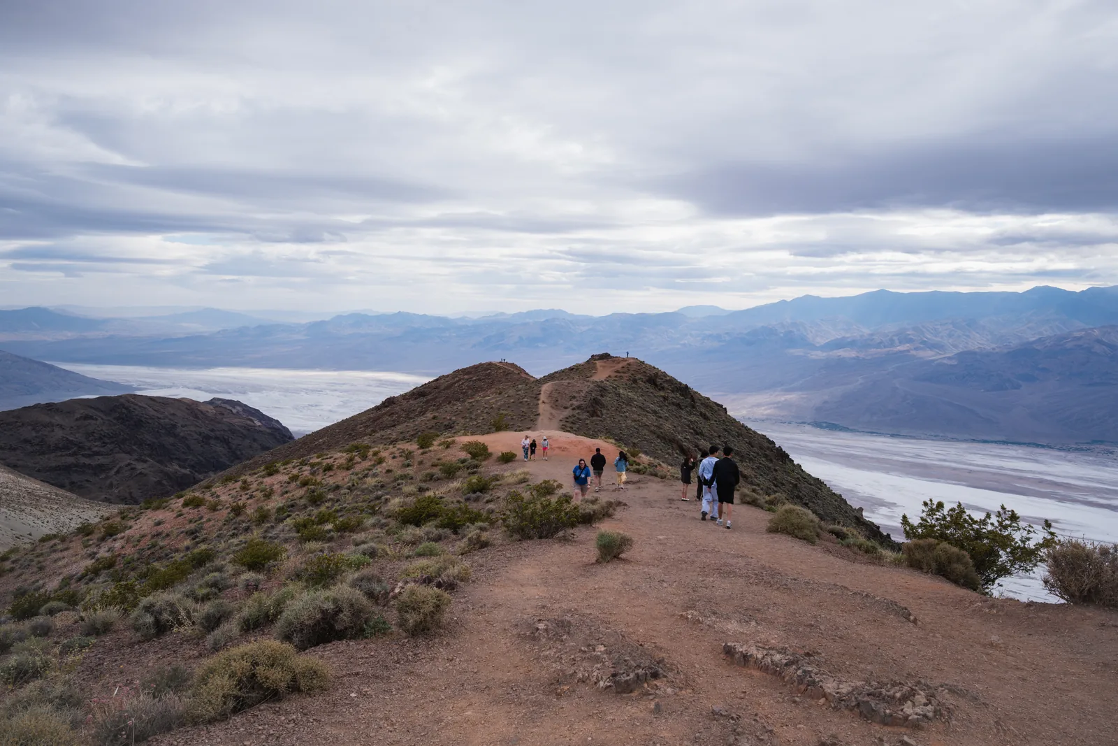
Dantes View View from the crest of the Black Mountains down to Badwater Basin and across to the Panamint Range: the rangers' favourite spot for sunrise.
The rangers' favourite spot for sunrise: the light first strikes the peaks of the Panamint Mountains and then moves down into the valley.
Coordinates 36.220659, −116.726753
View of Badwater Basin and the Panamint Range
Best time sunrise
Name from 1930s tourism advertising Add to your Death Valley National Park visit Open in OpenStreetMap ↗ Location source ↗
36.22066, -116.72675
All places Photo: PIERRE ANDRE LECLERCQ ↗ · CC BY-SA 4.0 ↗
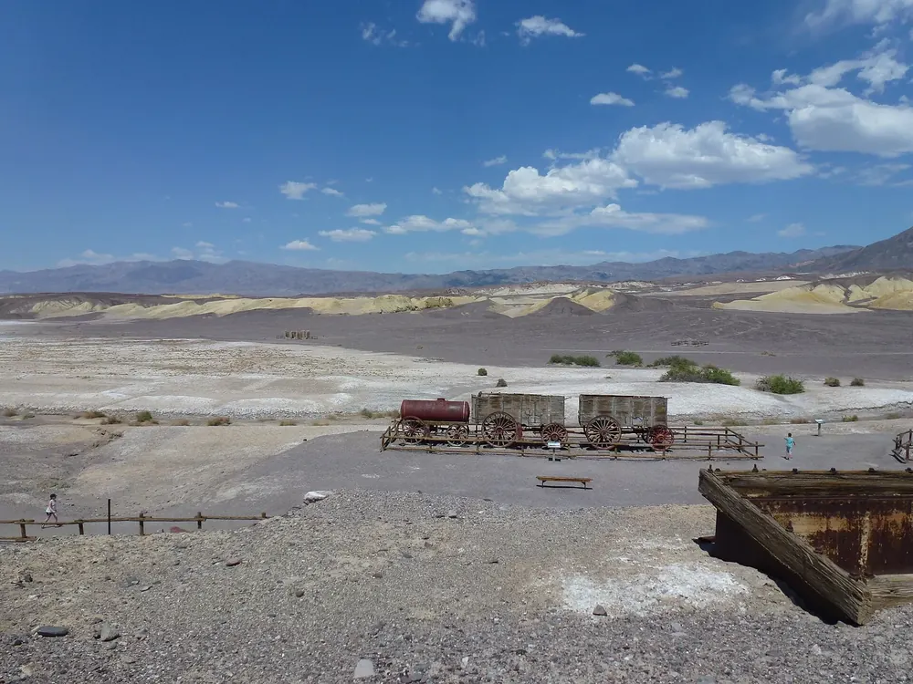
Harmony Borax Works Borax was processed here from about 1884 to 1888; the twenty-mule teams hauled the ore 265 km (165 mi) to the railway. Paved loop, half an hour.
Add to your Death Valley National Park visit Open in OpenStreetMap ↗ Location source ↗
36.48005, -116.87567
All places Photo: JERRYE AND ROY KLOTZ MD ↗ · CC BY-SA 3.0 ↗
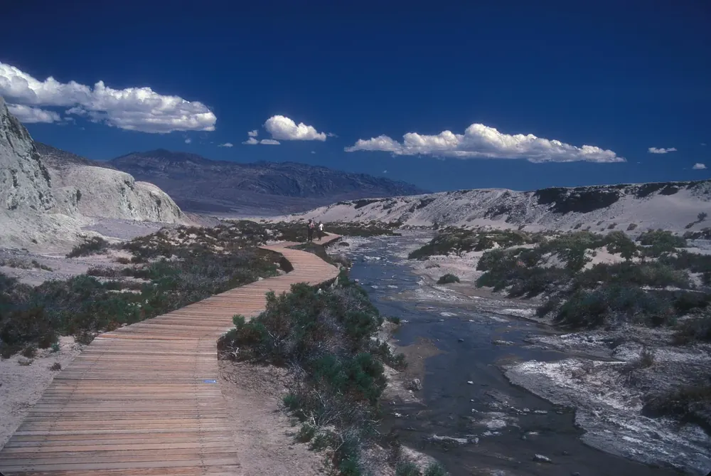
Salt Creek Wheelchair-accessible boardwalk along a salty stream. From February to April the Salt Creek pupfish spawn here.
Add to your Death Valley National Park visit Open in OpenStreetMap ↗ Location source ↗
36.59214, -116.99519
All places Photo: rob Stoeltje from loenen, netherlands ↗ · CC BY 2.0 ↗
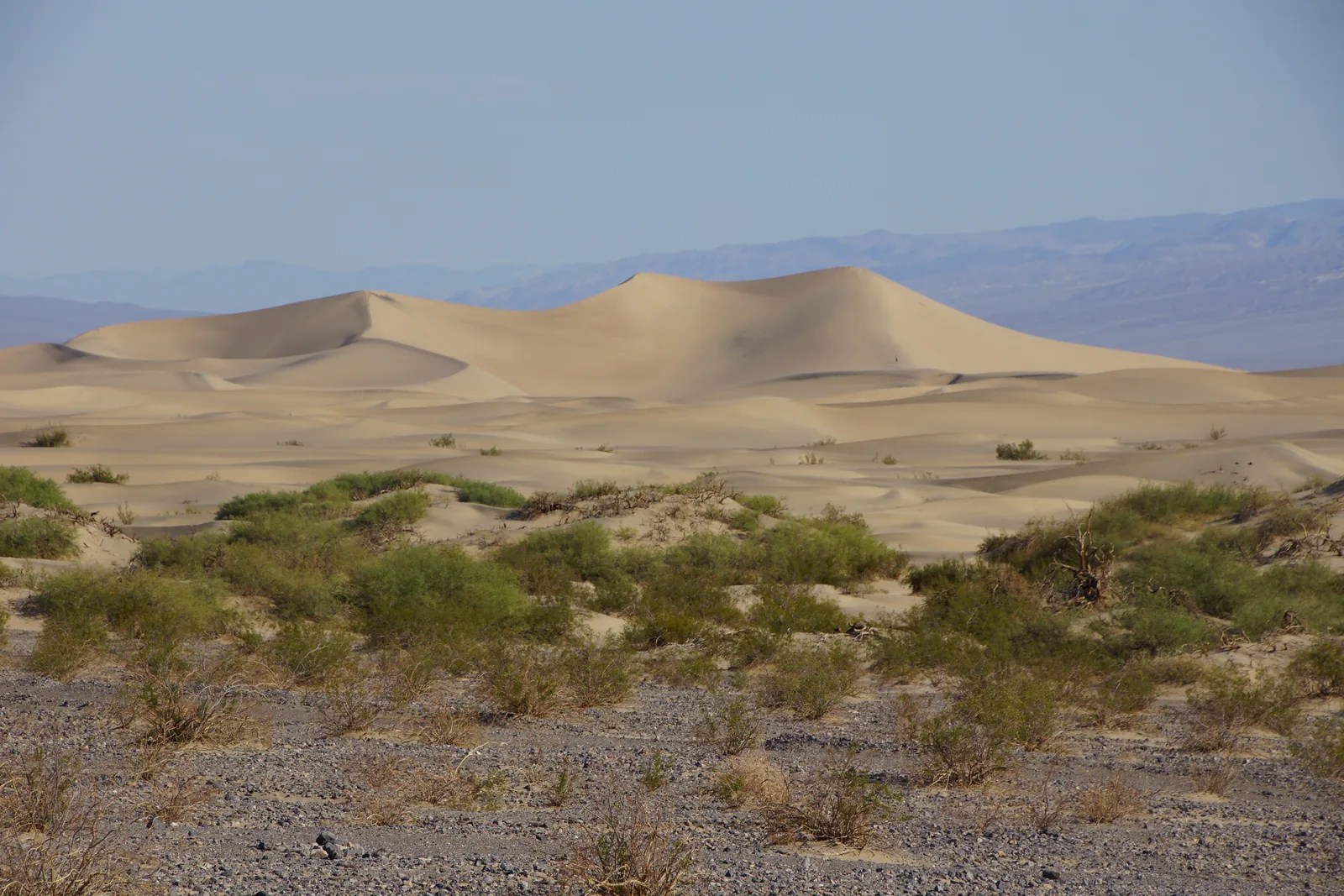
Mesquite Flat Sand Dunes The best-known dunes in the park, near Stovepipe Wells. There is no trail; the highest dune is 1.6 km (1 mi) from the car park.
The best-known and most accessible dunes in the park, on the cracked clay bed of an old lake near Stovepipe Wells.
Coordinates 36.606313, −117.115402
Shapes crescent, linear and star dunes
Height highest dune about 30 m (100 ft)
Allowed sandboarding Add to your Death Valley National Park visit Open in OpenStreetMap ↗ Location source ↗
36.60631, -117.11540
All places Photo: Pavel Špindler ↗ · CC BY 3.0 ↗
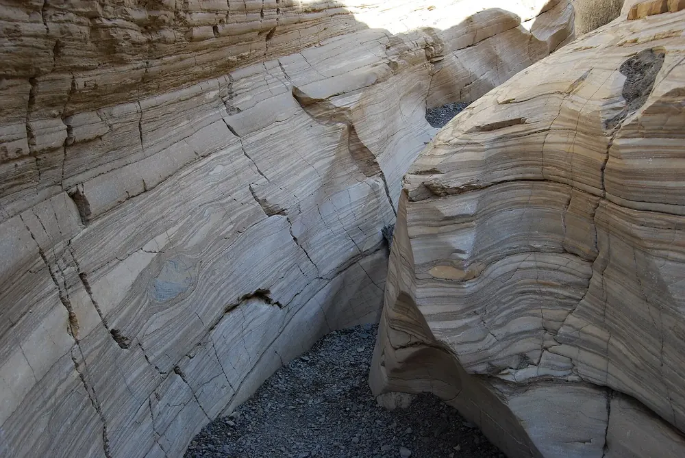
Mosaic Canyon At the end of the 3.7 km (2.3 mi) gravel road from Stovepipe Wells. The polished marble walls begin just beyond the car park.
Add to your Death Valley National Park visit Open in OpenStreetMap ↗ Location source ↗
36.57184, -117.14424
All places Photo: samiamx ↗ · CC BY 2.0 ↗
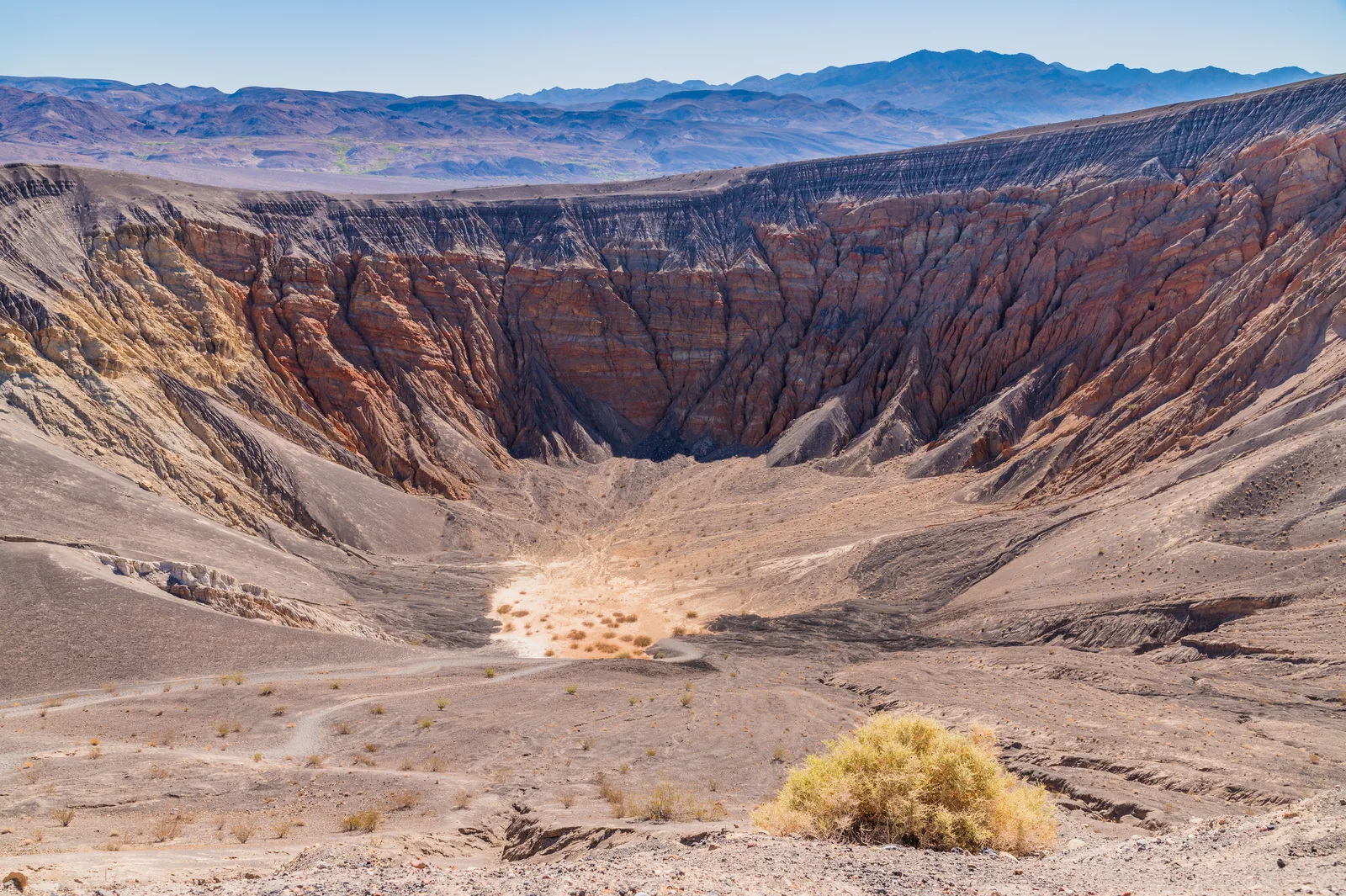
Ubehebe Crater A large crater in the north. The loop around the rim is exposed and not for anyone with a fear of heights.
A large crater in the north of the park. The loop runs along its rim and past the small Little Hebe crater.
Coordinates 37.009973, −117.450655
Loop 2.4 km (1.5 mi), 152 m (500 ft) of elevation gain
Time about one hour
Note exposed edges Add to your Death Valley National Park visit Open in OpenStreetMap ↗ Location source ↗
37.00997, -117.45065
All places Photo: Raymond M. Coveney, … ↗ · CC BY-SA 3.0 ↗
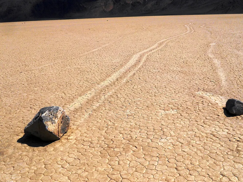
Racetrack Playa The lake bed of the moving rocks, about five kilometres (three miles) long. Reached only on a rough dirt road; at least three and a half hours from Furnace Creek.
Add to your Death Valley National Park visit Open in OpenStreetMap ↗ Location source ↗
36.68083, -117.56234
All places Photo: Chris M Morris ↗ · CC BY 2.0 ↗
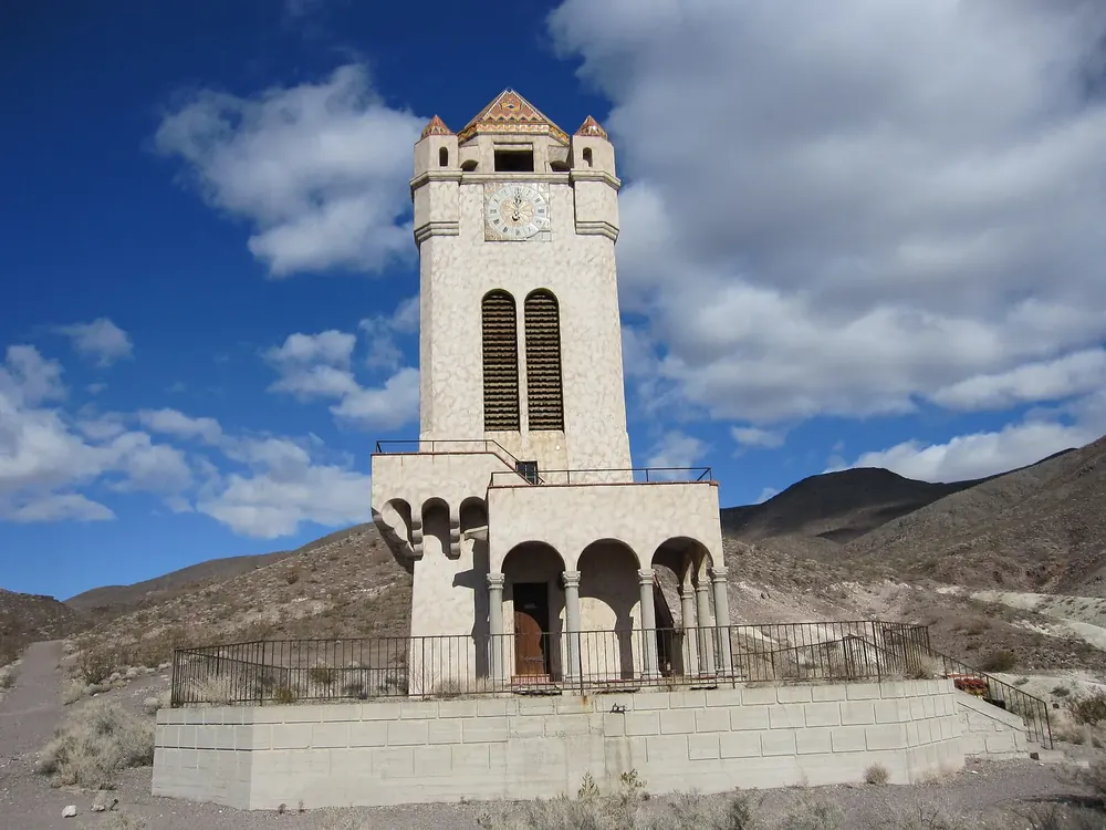
Scotty's Castle The Death Valley Ranch from the 1920s. Closed since the 2015 flood; you can only visit on a reserved guided tour.
Add to your Death Valley National Park visit Open in OpenStreetMap ↗ Location source ↗
37.03238, -117.34157
All places Photo: Greg Willis from Denver, CO, usa ↗ · CC BY-SA 2.0 ↗
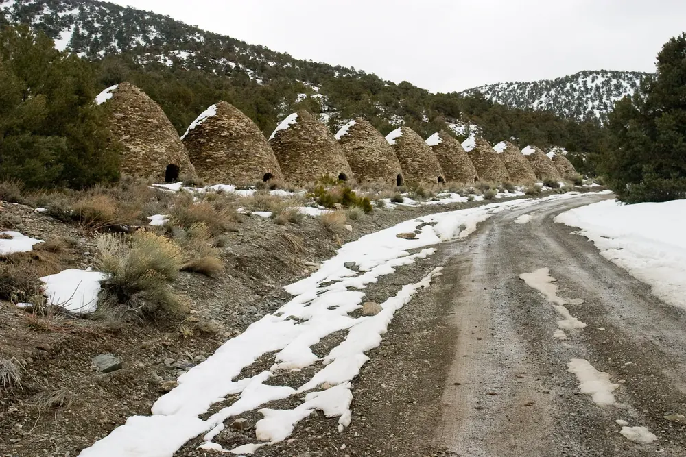
Wildrose Charcoal Kilns Ten beehive-shaped kilns from 1877 that produced charcoal for silver and lead smelting. The trails to Wildrose Peak and Telescope Peak start here.
Add to your Death Valley National Park visit Open in OpenStreetMap ↗ Location source ↗
36.24699, -117.07624
All places
Father Crowley Vista Point Viewpoint in the west on CA 190. The rangers recommend it for sunset, when the light colours the mountains to the east.
Add to your Death Valley National Park visit Open in OpenStreetMap ↗ Location source ↗
36.35198, -117.55111