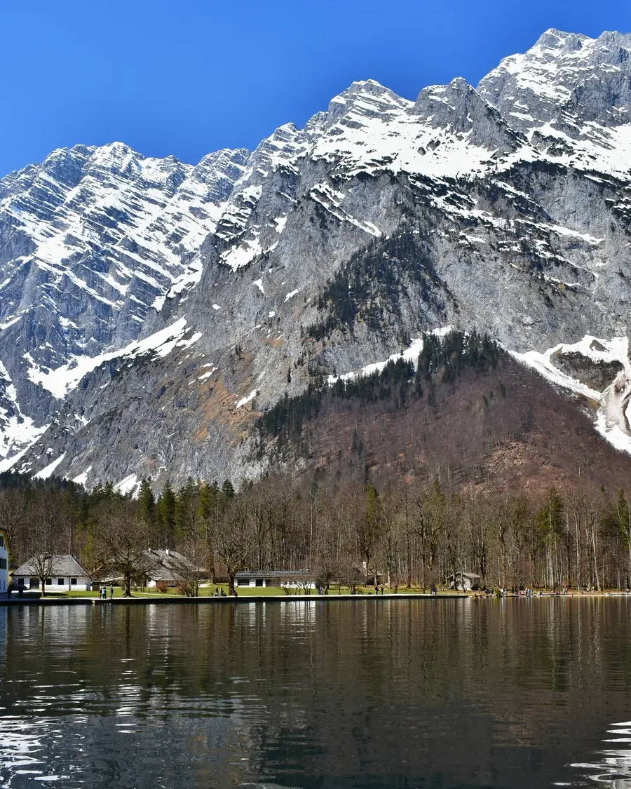
Germany's only Alpine national park: 2,300 metres (7,546 ft) of relief between the bed of Lake Königssee and the summit of the Watzmann.
First momentFrom the bed of Lake Königssee at 413 metres (1,355 ft) to the summit of the Watzmann at 2,713 metres (8,901 ft): 2,300 metres of altitude across 210 square kilometres (81 sq mi), in Germany's only Alpine national park.
“Altitude range: 2,300 m (bed of Lake Königssee 413 m above sea level, Watzmann 2,713 m above sea level).” Weather, snow and trail conditions vary dramatically within the park, so you cannot plan for “the park” as a whole.
The national park centre is in Berchtesgaden, 15 to 20 minutes on foot from the station; bus routes 839 and 841 stop outside. You only pay to enter the exhibition “Vertical Wilderness” (Vertikale Wildnis), a rising walk from the bed of Lake Königssee to the summits. The foyer, cinema, temporary exhibitions and the panorama trail with views of the Watzmann, Hochkalter and Jenner are free.
The code of conduct opens with “Stay on the trails”. In alpine terrain this is also a safety rule, and it gives golden eagles and chamois the peace they need.
St. Bartholomä and the Salet-Alm by the Obersee are in practice only reachable by boat. The boat service is an independent company; check fares and timetables there.
Lake Königssee: boat trips and the view from the Jenner
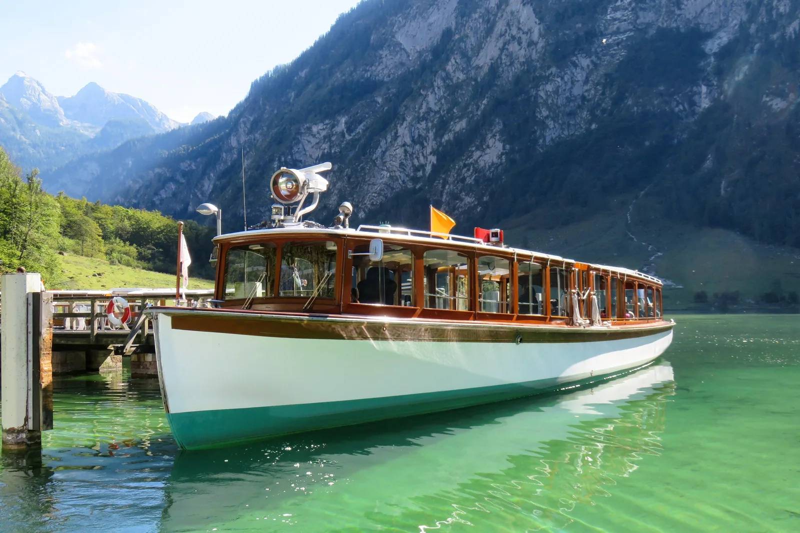
From Schönau onwards, the only way is across the water: St. Bartholomä and the Obersee are in practice only reachable by boat, and the passenger boats have run on electricity since 1909. For a view over the whole lake, take the cable car from Schönau up the Jenner.
A fjord-like lake between sheer rock walls; its bed lies 413 metres (1,355 ft) above sea level. You reach it from Schönau on the electric boats; the famous echo at the Echowand is part of the trip.
From Schönau, the electric boats of the Königssee boat service cross the lake, for example to St. Bartholomä. Boats there have run on electric motors since 1909.
St. Bartholomä and the Obersee are in practice only reachable by boat. The Königssee boat service, not the park, sets timetables and the season, so check before you go.
Flights & Smiles · Tandem flight · 20 to 60 minutes
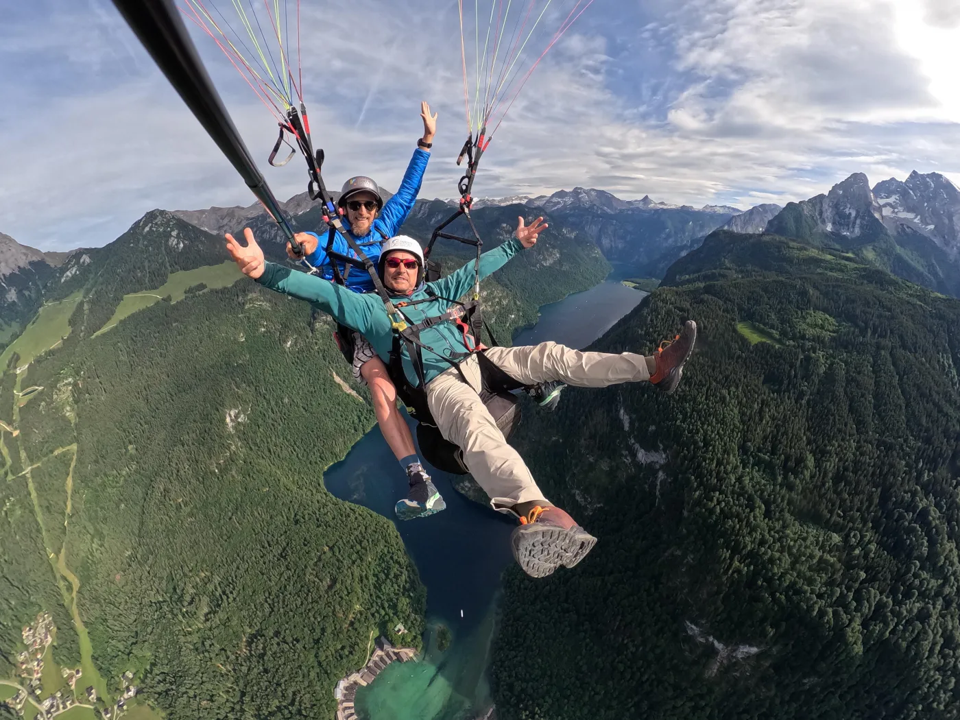
Tandem paragliding flight over Lake Königssee
With a pilot in tandem from the Jenner out over Lake Königssee. The launch site is 70 metres (230 ft) below the top station of the Jenner cable car, ten minutes on foot; the provider names views of the Watzmann, St. Bartholomä, Schönau and, to the north, the Eagle's Nest. Flights last 20 to 60 minutes.
1.5 hours
Flight 20 to 60 minutes
1 guest per pilot
German, English, Hindi
Departure Meeting point at the valley station of the Jenner cable car in Schönau; up by cable car, take-off 70 metres (230 ft) below the top station.
According to the inclusions list, the tandem flight is included; the cable car ride to the launch site is expressly not included, and photos and videos cost extra on site. The pilot offers longer flights to the Eagle's Nest after 11:00 as an upgrade on site. Offered in every season. Not suitable for pregnant women, wheelchair users or people with a cold; bring hiking boots, a windproof jacket and weather-appropriate clothing. For context: the park authority's code of conduct says “No drones or other flying objects”, while its page on air sports and golden eagle protection treats paragliding as possible and asks pilots to keep at least 500 metres from the marked golden eagle breeding areas. According to OpenStreetMap, the meeting point and top station lie just outside the park, the lake below inside it. Free cancellation up to 24 hours in advance.
View tour ↗Ad · partner link · checked 27 Sep 2026
Provider's product photo · GetYourGuide
Rules on the water and above it
No drones, no fires
“No drones or other flying objects” and “No fires”. The rules also say: “Do not go out on the water” and “Do not damage or remove animals or plants”.
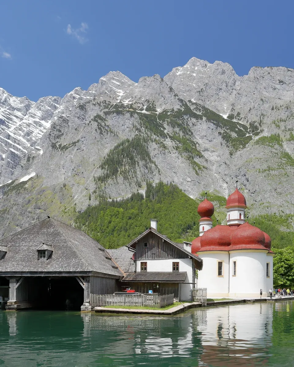
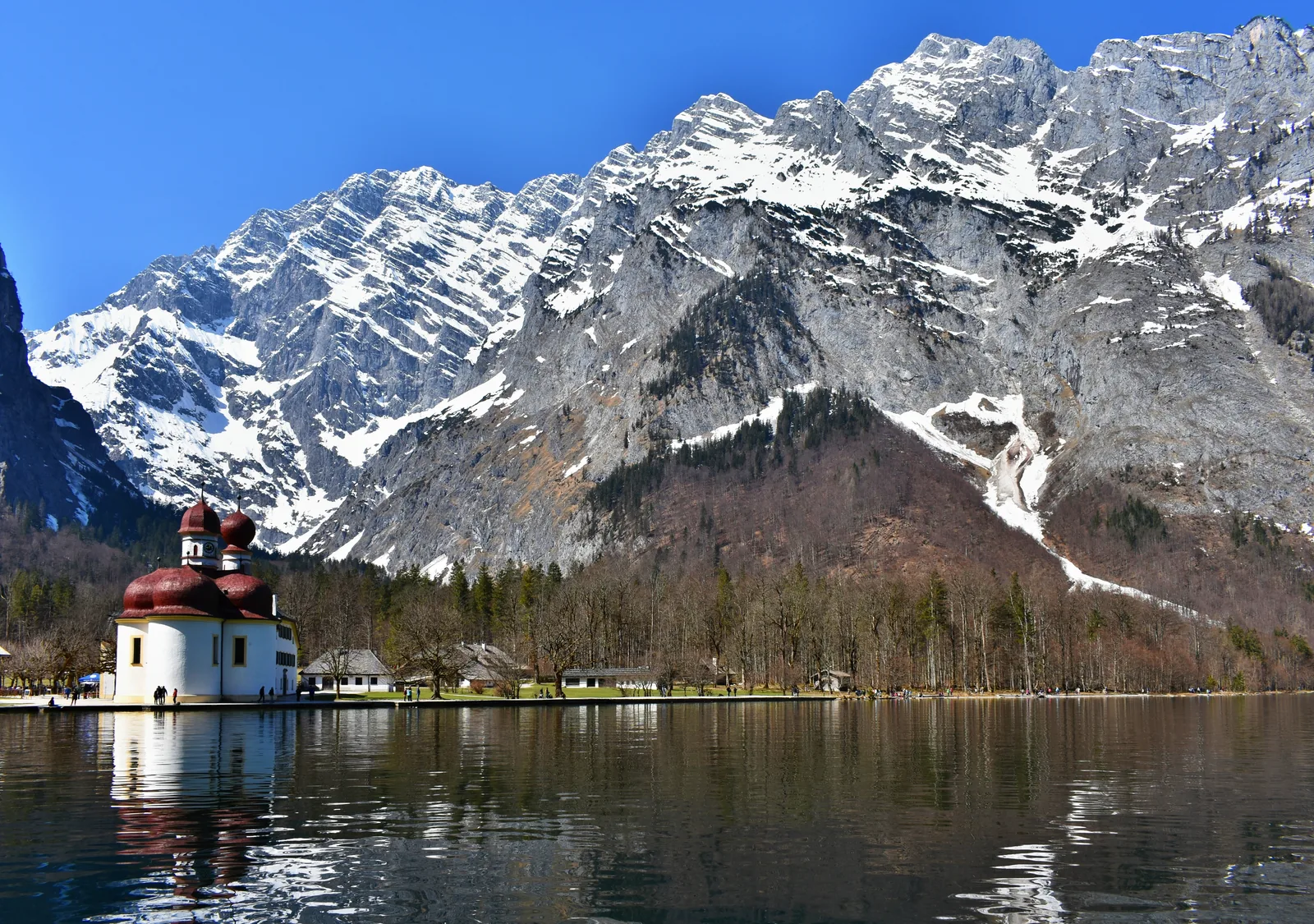
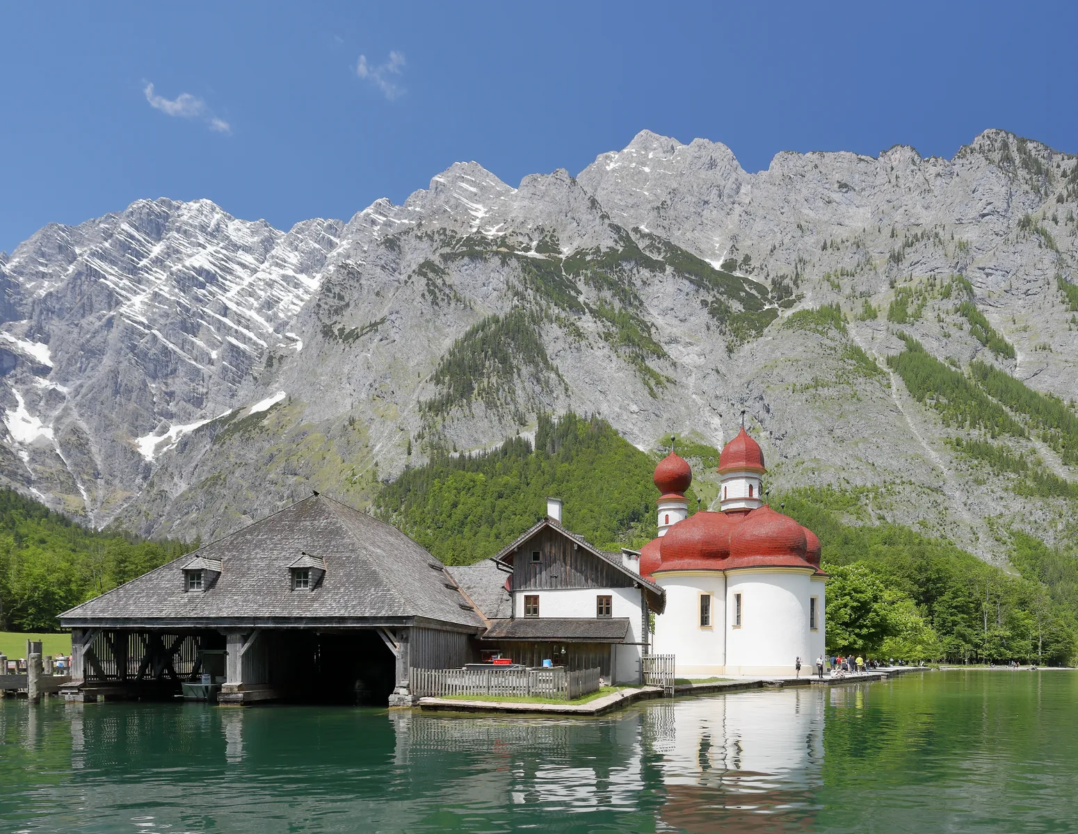
St. Bartholomä: the church below the Watzmann East Face
The pilgrimage church with red domes stands on a peninsula that no road reaches, right below the Watzmann East Face. If you stay behind after the last boat to camp here, the park authority brings you back to the Seelände pier on a special boat, and that is expensive.
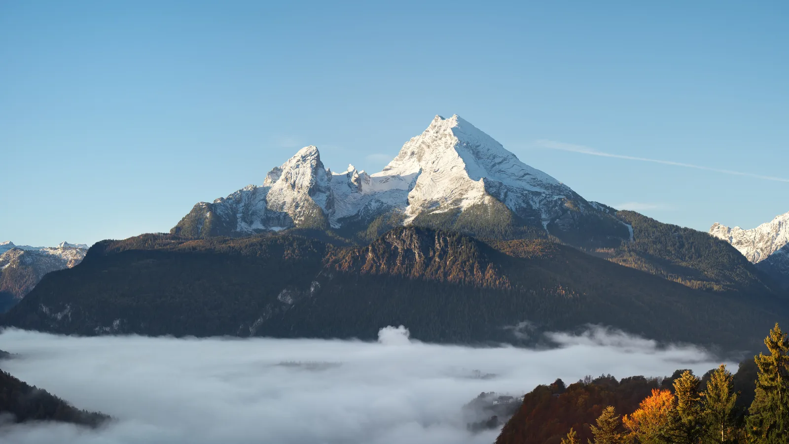
At almost 1,800 metres (5,906 ft) it is one of the highest rock faces in the Eastern Alps, according to the Bavarian Environment Agency. It rises above St. Bartholomä, which you reach by boat across Lake Königssee.
From the Salet boat stop it is about 15 minutes on foot to the Obersee; boats only run to Salet in summer. At the end of the valley, the Röthbachfall drops about 400 metres (1,312 ft), the highest waterfall in Germany according to the boat service.
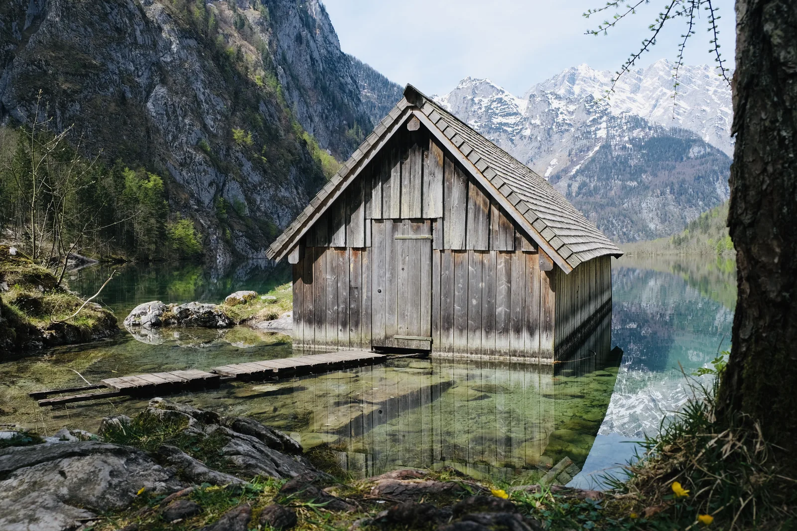
The smaller lake beyond Lake Königssee, reached only after a boat trip and a walk.
Beyond Lake Königssee lies the smaller Obersee, with the Fischunkelalm pasture on its shore. You get there via the Salet-Alm, the last boat stop, then on foot.
Location
Beyond Lake Königssee, separated by a strip of land.
Access
By boat to the Salet-Alm, then on foot.
Fischunkelalm
Staffed alpine pasture on the far shore.
Pasture farming
Part of the management zone that the park deliberately keeps.
“75 % core zone: no use” and “25 % management zone: buffer to the surrounding area, preservation of the cultural landscape”. The management zone keeps alive the alpine pasture farming that has shaped the landscape here for centuries.
The idea for the national park came from the Watzmann: in 1953 the German League for Nature Conservation (Deutscher Naturschutzring) called for a park, in response to a plan to open up the mountain with a cable car. The summit and the East Face require a head for heights, sure-footedness and stamina; everyone else sees the face from the boat.
The Watzmann traverse and the East Face are alpine undertakings with matching demands and equipment. If you only want to see the lake, stay down below. That is no limitation; it is what most visitors do.
About 260 kilometres (162 mi) of hiking trails and alpine paths open up the park. Barrier-free trails and easy mountain trails have no risk of falling; intermediate paths have short exposed or rope-secured sections; difficult paths are often exposed, with unsecured climbing passages, and are not suitable for dogs. In a mountain accident, call the emergency number 112.
Berchtesgaden National Park: landscape and origins
Germany's only Alpine national park: 210 square kilometres (81 sq mi) of the Northern Limestone Alps, 2,300 metres (7,546 ft) of altitude between the bed of Lake Königssee and the summit of the Watzmann.
Berchtesgaden National Park was founded in 1978 and lies in the south of Upper Bavaria, on the border with Austria. It covers about 210 square kilometres (81 sq mi) and is Germany's only Alpine national park. It is run by the Bavarian national park authority.
Its most striking figure is the difference in altitude: “Altitude range: 2,300 m (bed of Lake Königssee 413 m above sea level, Watzmann 2,713 m above sea level).” This span holds habitats from the submontane to the alpine zone.
Three quarters of the area is core zone with no use at all. The remaining quarter is management zone, a buffer to the surrounding land in which alpine pasture farming is deliberately kept alive. So the park is not pure wilderness; it also protects a cultural landscape, and it forms the core and management zone of the Berchtesgadener Land Biosphere Region.
At its centre lies Lake Königssee, a fjord-like lake between sheer rock walls. Electric boats run from Schönau; St. Bartholomä with its red domes and the Obersee beyond are in practice only reachable by water. Above the church rises the Watzmann East Face; at almost 1,800 metres (5,906 ft), the Bavarian Environment Agency counts it among the highest rock faces in the Eastern Alps.
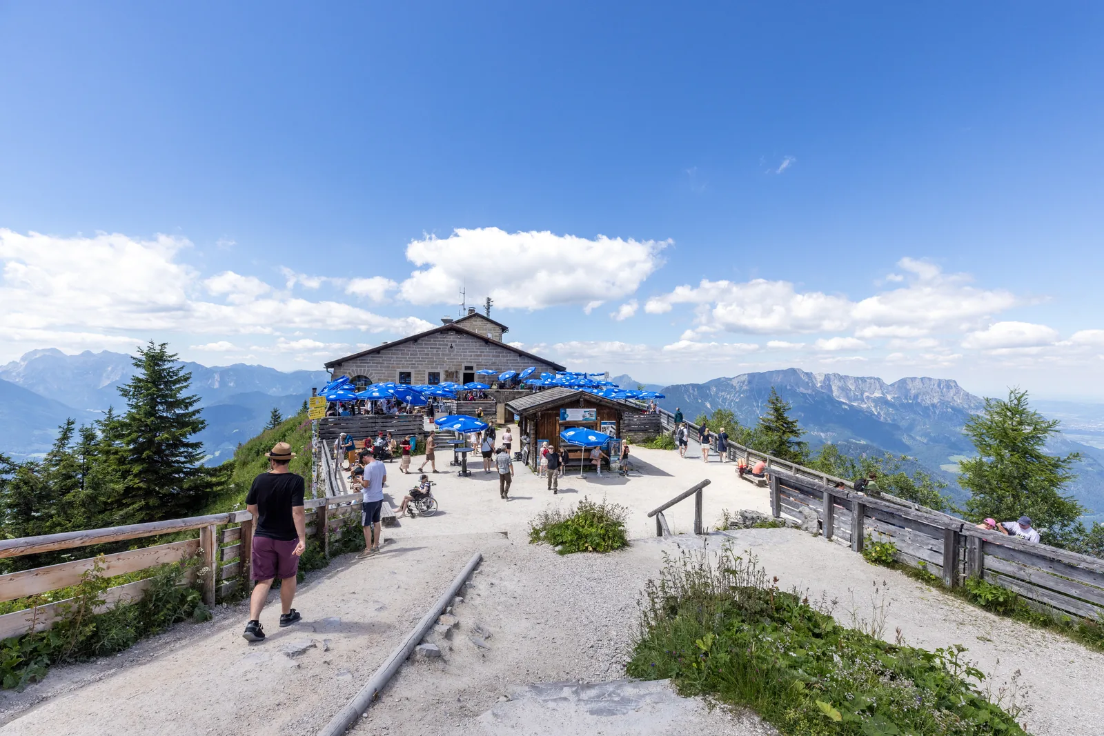
A note for orientation: the park authority nowhere lists the Eagle's Nest (Kehlsteinhaus) as part of the park. It stands on the Obersalzberg. If you are looking for the national park, you are looking for Lake Königssee, the Watzmann, Wimbach Gorge and the Obersee.
Berchtesgaden National Park is Germany's only Alpine national park and was founded in 1978. It covers about 210 square kilometres (81 sq mi) in the south of Upper Bavaria, on the border with Austria.
From the bed of Lake Königssee at 413 metres (1,355 ft) to the Watzmann at 2,713 metres (8,901 ft). This range holds habitats from the submontane to the alpine zone, in a very small space.
The national park forms the core and management zone of the Berchtesgadener Land Biosphere Region. That makes it part of a larger UNESCO framework that also includes the farmed landscape around it.
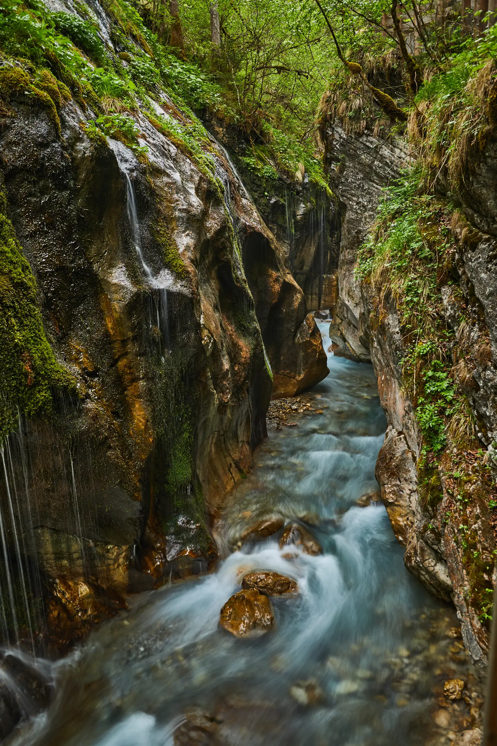
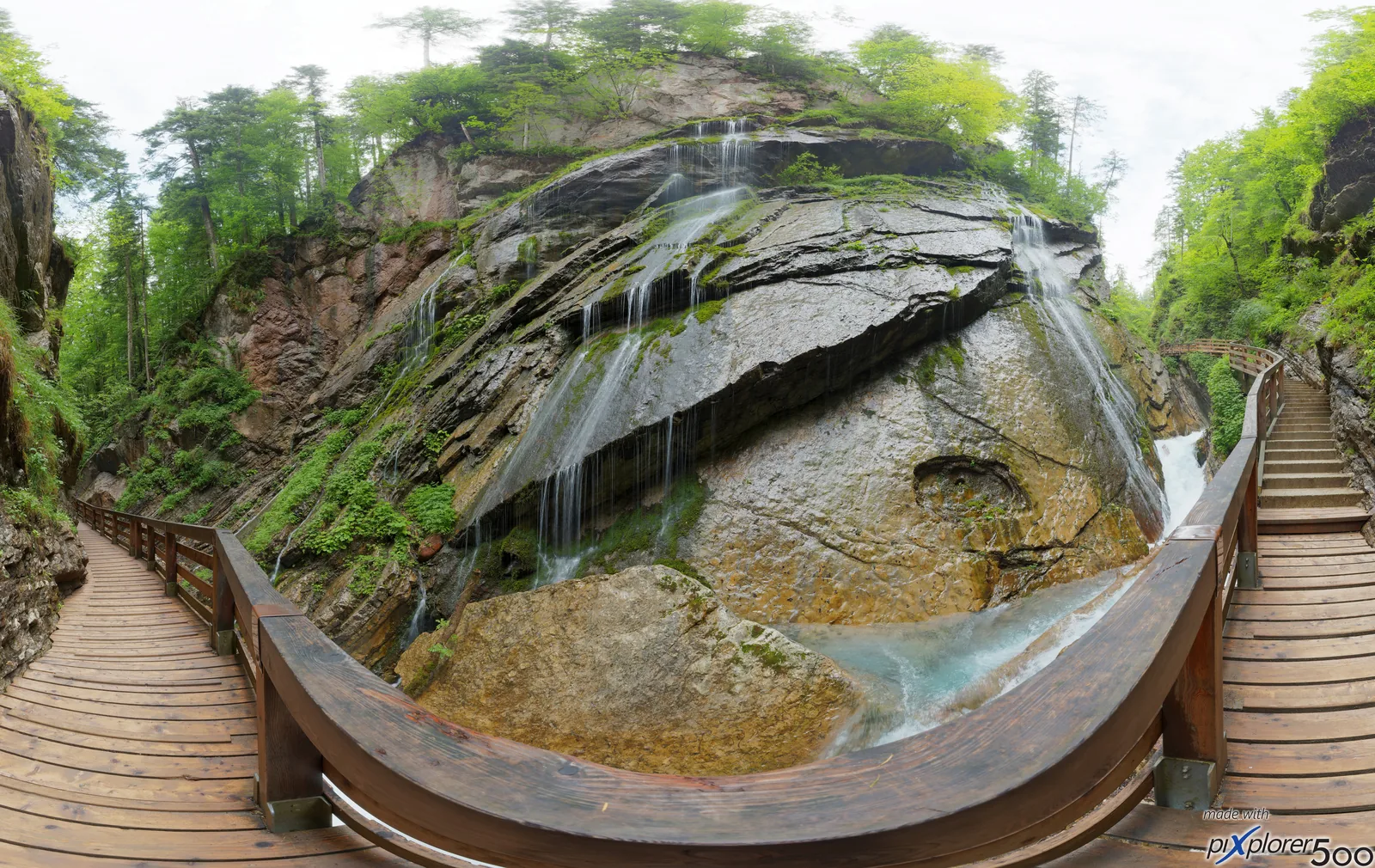
Near Ramsau, boardwalks lead through Wimbach Gorge; beyond it opens the Wimbachgries, a valley that fills with its own scree. On good days in the Wimbach Valley you can see golden eagles from the valley floor as they circle up along the sunny rock walls.
A gorge on boardwalks near Ramsau, and beyond it a valley that keeps filling itself with scree.
A gorge in the western part of the park near Ramsau, walkable on boardwalks. Beyond it opens the Wimbachgries, a valley that keeps filling itself with scree.
Location
Western part of the park near Ramsau.
Walkable
On boardwalks through the gorge.
Beyond
The Wimbachgries, a valley that fills with its own scree.
Ramsau is the gateway to the western part of the park, with Wimbach Gorge and Lake Hintersee. The Hintersee itself lies on the park boundary, the gorge inside the park.
Hintersee and Klausbach Valley: golden eagles and alpine pastures
At the entrance to the Klausbach Valley, the Klausbachhaus shows how alpine pastures and pasture farming shape the park. The park authority calls the valley itself the valley of eagles: nowhere in the park is your chance of seeing a golden eagle in the wild greater.
Alpine pastures are a habitat with exceptionally high species diversity in the park. At the entrance to the Klausbach Valley, the Klausbachhaus shows in its exhibition “1,000 Years Up and Down” how herders and their livestock move from the valley up to the pastures and back again over the year; entry is free.
In the Klausbach Valley you have the best chance of seeing a golden eagle in the wild, the park authority says. About 20 minutes from the Klausbachhaus at the valley entrance there is a viewpoint with information boards. The eagles prefer to fly on sunny days with good thermals; in rain and low cloud they barely move.
The rules expressly name “Keep quiet” and “Leave wild animals in peace”. In mountains with golden eagles and chamois, noise carries further than in a forest.
The Alm-Erlebnisbus links Ramsau with Weißbach Nature Park in Austria's Pinzgau region and runs from the Hintersee through the Klausbach Valley. You can only buy tickets from the driver and cannot book in advance; a limited number of bicycles can travel, e-bikes cannot. Children up to and including 14 years travel free.
Much of the trail network lies in alpine terrain and cannot be used in winter without special equipment and alpine experience; there, the park authority recommends a certified mountain guide. Avoid forest and wildlife protection zones, stay on the signed ski and snowshoe routes, and in midwinter keep off summits, ridges and crests before 10:00 and after 16:00.
The easiest route to the Kärlingerhaus by the Funtensee leads from St. Bartholomä through the Saugasse: about five hours and 1,000 metres (3,281 ft) of ascent. In the park you can only stay overnight in the huts; camping and sleeping outdoors are prohibited.
You can stay overnight in mountain huts: besides the huts owned by the national park, the park authority says there are other mountain huts in the protected area and nearby for a rest, a meal and a night's stay. Mind their seasonal opening times.
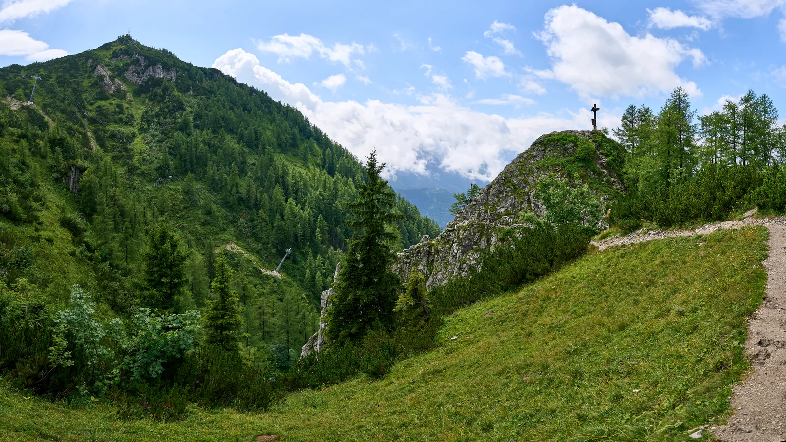
The park reaches from the submontane to the alpine zone of the Northern Limestone Alps. Snow lies on the high ground well into spring, while the boats are already running on Lake Königssee.
How to get there: train, bus and information centres
Berchtesgaden station is linked to Hamburg and Munich by the InterCity “Königssee”; locally, DB Regio Bus Bayern buses take you to the park entrances, free from the day you arrive with the guest card of the valley municipalities.
Berchtesgaden Hauptbahnhof (main station) is your gateway to the park; from there, buses run to Schönau on Lake Königssee, to Ramsau and into the Wimbach Valley. With the guest card of the valley municipalities, local buses are free from the day you arrive.
Private tour from Salzburg with pick-up: a 40-minute drive, one hour in the town of Berchtesgaden, then three and a half hours at Lake Königssee at your own pace. According to the list of inclusions, “the ticket” is included; the English product title calls it a ferry ticket.
6 hours
private, with pick-up
German and English
Ticket included according to the inclusions list
Departure Salzburg, pick-up included
Not a guided walk, but a drive with free time in both places; lunch is not included, bring a passport or photo ID. Contradiction on the product page: at the top it says free cancellation up to 24 hours in advance, while the notice box says tickets are bought immediately after booking and are non-refundable. Clarify before you book.
View tour ↗Ad · partner link · checked 27 Sep 2026
The park authority's film shows golden eagles and bearded vultures in the park. Six destinations have their own pages, including the Eagle's Nest, which lies outside the national park.
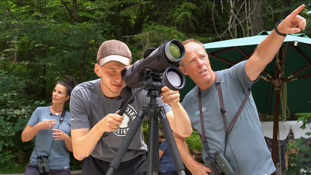
Golden eagles and bearded vultures in the national park
Footage from bird-of-prey monitoring in the park. Otherwise, the park authority's channel consists mostly of recorded talks; there is no landscape film.
The church with the wine-red onion domes stands on a peninsula in the middle of the national park, and no road leads there. You arrive by boat: 35 minutes, €23.40 return.
The Eagle's Nest (Kehlsteinhaus) stands on the Obersalzberg, and the park authority nowhere lists it as part of the park. If you are looking for the national park, you are looking for Lake Königssee, the Watzmann and Wimbach Gorge.
Nothing saved yet. Every place card has a pin, and so does every place on the Map. What you save collects here, with days, notes and a preview you can share.
Reality check
Share
The plan is stored in the link itself. Anyone who opens it sees the preview and can use the plan.
Image for your phone, with stops and map.
01Best time to visit: spring in the valley, winter on the summits
Spring down below, still winter up top. The difference in altitude makes the best time a question of where you are going.
1.6 million visitors a year
The park counts about 1.6 million visitors a year. The park authority calls it the most visited destination in the region.
Weather and climate in Berchtesgaden National Park
Most comfortable months by the climate data: June to September. Average daytime highs of 16 to 21 °C, lows of 6 to 10 °C, 135 to 184 mm of precipitation a month. The wettest month is July (184 mm), the driest February (72 mm).
−10°0°10°20°
Jan−1−9
Feb0−8
Mar5−4
Apr110
May154
Jun199
Jul2110
Aug2010
Sep166
Oct122
Nov6−2
Dec1−7
High °CLow °C
Daily highDaily lowPrecipitation
All monthly values as a table
Monthly averages 2001–2020, NASA POWER model
Month
High °C
Low °C
Precipitation mm
January
−0.8
−8.9
91
February
0.2
−8.0
72
March
4.8
−4.1
89
April
10.8
0.0
85
May
15.1
4.4
151
June
18.8
8.7
176
July
20.6
10.2
184
August
20.5
10.1
184
September
15.7
6.0
135
October
11.9
2.1
102
November
5.9
−2.2
76
December
0.6
−6.7
82
Year
1,427
Modelled values, not a weather station: NASA POWER (MERRA-2) for a grid cell of about 55 × 45 km around the map point Lake Königssee (47.56° N, 12.98° E), with an average cell elevation of about 1,230 m. Averages for 2001–2020. Higher ground and valleys can differ markedly.
02How to get there: train to Berchtesgaden, then bus and boat
Lake Königssee is car-free from Schönau onwards, and the last leg is always by water.
Parking only at the entrances
Cars can be driven only as far as the park boundary; no private car traffic is allowed inside the national park itself. Paid car parks exist at the main entrances, but their number is limited.
Parking at Königssee: the main car park on Seestraße
The large Königssee car park at Seestraße 3 in Schönau charges fees all year, daily from 7:00 to 19:00. A car costs €3 for up to 1 hour, €7 for up to 3 hours and €9 for a 24-hour day ticket. The boat landing and the Jennerbahn cable car are a few minutes' walk away; motorhomes use a separate site on Schornstraße.
Private tour from Salzburg with pick-up: a 40-minute drive, one hour in the town of Berchtesgaden, then three and a half hours at Lake Königssee at your own pace. According to the list of inclusions, “the ticket” is included; the English product title calls it a ferry ticket.
Departure Salzburg, pick-up included
Not a guided walk, but a drive with free time in both places; lunch is not included, bring a passport or photo ID. Contradiction on the product page: at the top it says free cancellation up to 24 hours in advance, while the notice box says tickets are bought immediately after booking and are non-refundable. Clarify before you book.
View tour ↗Ad · partner link · checked 27 Sep 2026
Ad · we may earn a commission if you book through this partner link. Offer details checked 27 Sep 2026. See official ticket information.
03Tickets & entrance fees: the park is free, the boat is not
There is no entrance fee for the national park. What you pay for is run by others.
04Where to stay: mountain huts and villages on the park edge
Camping is banned, huts are allowed: the alpine exception.
Schönau, Ramsau and Berchtesgaden
The three villages on the edge of the park are the obvious bases. Berchtesgaden has the railway station, Schönau the access to Lake Königssee, Ramsau the access to Wimbach Gorge.
06Frequently asked questions: Berchtesgaden National Park
Is there an entrance fee for Berchtesgaden National Park?
No. The park is freely accessible, and the park authority's code of conduct mentions no entrance fee. You do pay for the Königssee boat, which is run by an independent company, and for the cable car and car parks. St. Bartholomä and the Obersee are in practice only reachable by boat, so that part of your visit is not free.
Is the Eagle's Nest part of Berchtesgaden National Park?
No. The park authority nowhere lists it as part of the park on its website. The Eagle's Nest (Kehlsteinhaus) stands on the Obersalzberg above Berchtesgaden and is marketed by the regional tourist board. The national park covers the area around Lake Königssee, the Watzmann, the Wimbach Valley and the Steinernes Meer plateau. If you are looking for the park, these are your destinations.
How do I get to Lake Königssee and St. Bartholomä?
Take the train to Berchtesgaden Hauptbahnhof, then the bus to Schönau on Lake Königssee. From Schönau the lake is car-free: the electric boat fleet takes visitors to St. Bartholomä and on to the Salet-Alm, from where you can walk to the Obersee.
How big is the difference in altitude in the park?
2,300 metres (7,546 ft). The park authority states: “Altitude range: 2,300 m (bed of Lake Königssee 413 m above sea level, Watzmann 2,713 m above sea level).” In practice, this means there is no single best time to visit the whole park: while the boats are already running on the lake, snow still lies higher up.
Can I camp or bivouac in Berchtesgaden National Park?
No. The code of conduct says: “No camping or sleeping outdoors.” This applies throughout the park. You can stay overnight in the mountain huts; check their seasonal opening times before you go.
Dogs yes, but on a lead: “Keep dogs on a lead” is one of the rules in the code of conduct. Drones no: “No drones or other flying objects.” The rules also list “No fires”, “Do not go out on the water”, “Keep quiet” and “Do not damage or remove animals or plants”. Cycling is only allowed on permitted trails.
What is the management zone and why does it exist?
The park is divided into “75 % core zone: no use” and “25 % management zone: buffer to the surrounding area, preservation of the cultural landscape”. In the management zone, alpine pasture farming is deliberately kept alive, so here the park protects not only wilderness but also a cultural landscape shaped over centuries. The national park also forms the core and management zone of the Berchtesgadener Land Biosphere Region.
Do I need to be a mountaineer to climb the Watzmann?
For the summit, and even more so for the East Face, yes: these are alpine undertakings that demand matching skills, equipment and experience. At almost 1,800 metres (5,906 ft), the East Face is one of the highest rock faces in the Eastern Alps, according to the Bavarian Environment Agency. For the vast majority of visitors this does not matter: from the boat on Lake Königssee you see the full height of the face without any climbing.
It is the most visited destination in the region, with about 1.6 million visitors a year, according to the park authority. It is also Germany's only Alpine national park, entry is free, and between the bed of Lake Königssee and the Watzmann summit lie 2,300 metres (7,546 ft) of altitude.
What are the must-see sights in Berchtesgaden National Park?
Lake Königssee by electric boat, the red-domed church of St. Bartholomä, the Obersee with the Fischunkelalm, and the Watzmann East Face, which you can see from the boat. In the west of the park, Wimbach Gorge near Ramsau is walkable on boardwalks.
What is the best hike in Berchtesgaden National Park?
That depends on your experience; the park authority does not name a single best hike. Easy options are Wimbach Gorge near Ramsau, on boardwalks with the Wimbachgries valley beyond, and the walk from the Salet-Alm boat stop to the Obersee. The Watzmann traverse and the East Face are alpine undertakings for experienced mountaineers only.
How much does a boat trip on the Königssee cost, and when do the boats run?
The park does not set fares or times: the Königssee boat service is an independent company that sets its timetables and season, so check both there before you go. You cannot avoid the boat if you want to see St. Bartholomä or the Obersee, as both are in practice only reachable by water.
Researched 18 Sep 2026. Not a live status. Dates apply only to the year stated. A successful automatic fetch is not an editorial confirmation; outdated automatic values are hidden and replaced by the source link.