National Parks Atlas
Map

00 · Gorge in the national park · Bavaria · Berchtesgaden National Park

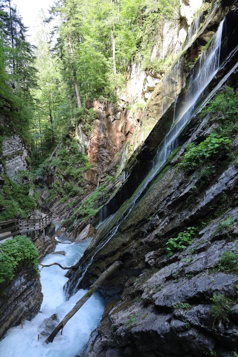
Wimbach Gorge (Wimbachklamm)

About 200 m of bridges and boardwalks through a gorge where the water bursts out of the rock, for four euros.

Tickets & opening hoursGetting there & parkingOpening times

View plan

Photo: Hartmut Clauß ↗ · CC BY-SA 4.0 ↗

€4.00Entry

From age 7

30 April to 31 OctoberOpen

Daily, 2026 season

about 200 mBoardwalk length

Over bridges through the gorge

Wimbach Gorge: a short walk with one clear rule

Four euros, one ticket machine, one direction.

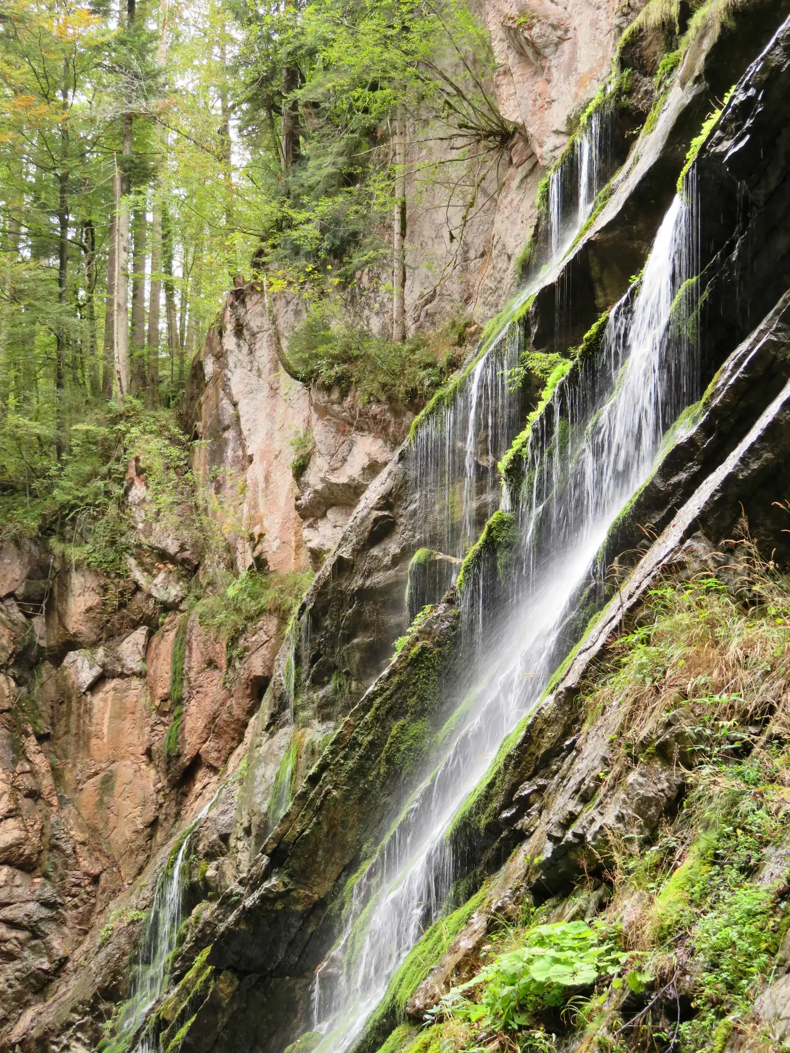
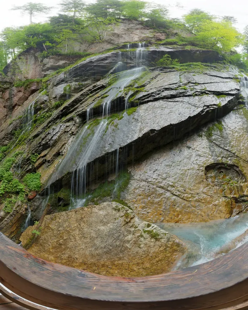
At the mouth of the high valley between the Watzmann and the Hochkalter lies a narrow gorge, with about 200 m of bridges and boardwalks running through it. In the upper Wimbach valley, the Wimbachgries, the water flows underground. Here it surfaces with a roar and plunges in steep waterfalls into the rocky gorge.

Three things are fixed for your visit. Entry costs €4 from age 7. Tickets are sold only from a machine: the Bergerlebnis Berchtesgaden page names the machine at Wimbachs Wollstadl by the gorge entrance, and elsewhere a machine at Wimbachlehen, about 300 m before it.

And you can only enter from the gorge entrance. Coming back from Wimbachschloss, you cannot walk through the gorge again; a path above it takes you round. If you go further up the valley, plan a different way back.

The gorge on its own is a short walk, not a day out. For more, add Wimbachschloss, a former Wittelsbach hunting lodge that is now a mountain inn in the national park, or continue to the Wimbachgrieshütte in the upper valley.

Bergerlebnis Berchtesgaden: Wimbach Gorge, Ramsau ↗

In numbers

Entry from age 7
€4.00
2026 season
30 April to 31 October
Boardwalk length
about 200 m
Hike through the gorge
2:00 h, 8.5 km (5.3 mi), 312 m (1,024 ft) ascent
To the Wimbachgrieshütte
5:30 h, 17.0 km (10.6 mi), 699 m (2,293 ft) ascent
Bus
Line 846
Wimbachbrücke information point
Free entry
Address
Wimbachklamm 24, 83486 Ramsau

Berchtesgaden National Park profile

01 · Plan

Tickets & opening hours

Car park, bus, and a path that only goes one way.

Photo: Mkummerer ↗ · CC BY-SA 3.0 ↗

How to get there: car park, bus and entrance

Car park, bus, and a path that only goes one way.

Further up the valley

Bergerlebnis Berchtesgaden gives the hike through the Wimbach Gorge as 2 hours, 8.5 km (5.3 mi) and 312 m (1,024 ft) of ascent. The long route to the Wimbachgrieshütte takes 5:30 hours over 17 km (10.6 mi) and 699 m (2,293 ft) of ascent.

Bergerlebnis Berchtesgaden: Wimbach Gorge, Ramsau ↗

Price list

checked 20 Sep 2026

Tickets & entrance fees

Four euros, and only from a machine.

Wimbach Gorge entry, 2026 season
TicketPrice
From age 7€4.00
Up to age 6no fee stated
Wimbachbrücke information pointfree

Figures from Bergerlebnis Berchtesgaden, retrieved on 20 September 2026. The page states entry as "from age 7: 4 euros" and gives no separate rate for younger children. Tickets are sold only from a machine. Bergerlebnis Berchtesgaden: Wimbach Gorge, Ramsau ↗

Entry fee

Entry costs €4 from age 7. The operator does not state a separate rate for younger children.

Bergerlebnis Berchtesgaden: Wimbach Gorge, Ramsau ↗

Tickets from a machine only

Tickets are sold only from the machine at Wimbachs Wollstadl by the entrance to the Wimbach Gorge. Elsewhere the same page names a machine at Wimbachlehen, about 300 m before the entrance. If you want to pay cash, bring the right money.

Bergerlebnis Berchtesgaden: Wimbach Gorge, Ramsau ↗

The information point is free

Visiting the national park's Wimbachbrücke information point at the car park costs nothing.

Berchtesgaden National Park authority: Wimbachbrücke information point ↗

Food along the way

Wimbachschloss is one of the five mountain huts the Free State of Bavaria owns in the national park and is run by a leaseholder. Ask there directly about prices and opening times.

Berchtesgaden National Park authority: mountain huts and alpine pastures ↗

Opening hours & best time to visit

One season; the rest of the year it is closed.

02 · On site

Hikes & routes: the gorge and the Wimbach valley

What the gorge shows you, and what lies beyond it.

Photo: Mkummerer ↗ · CC BY-SA 3.0 ↗

„Two hundred metres that need a ticket machine.“

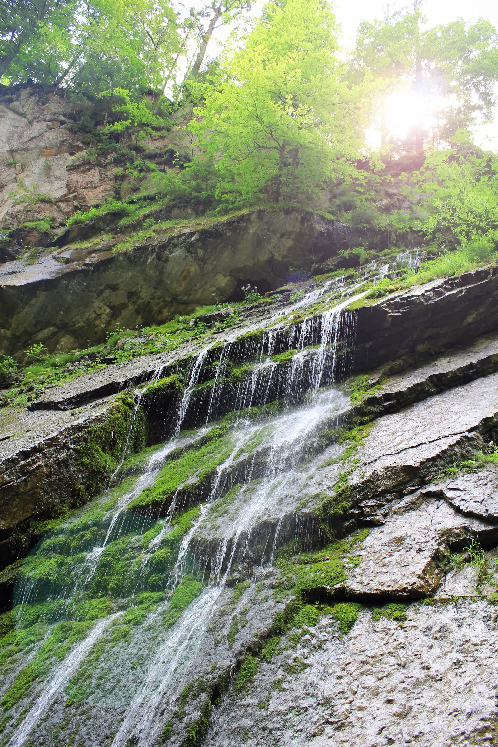
In the Wimbach Gorge: only here does the water of the Wimbach reach the surface.

Hikes & routes: the gorge and the Wimbach valley

What the gorge shows you, and what lies beyond it.

Why the water appears here

The upper Wimbach valley, the Wimbachgries, is covered in dry scree, and the water flows underground there. It only surfaces in the gorge, which is why it roars so loudly over such a short stretch.

Bergerlebnis Berchtesgaden: Wimbach Gorge, Ramsau ↗

Hike: Wimbachbrücke – Wimbachschloss

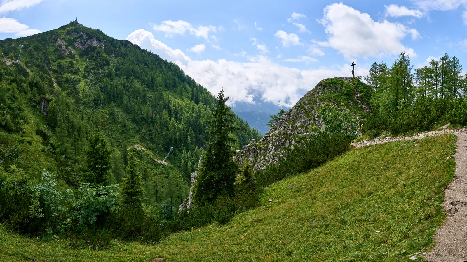
Start and finish: the Wimbachbrücke car park by the national park information point. Go up either through the gorge (entry fee) or right on the briefly very steep path above it; after about a kilometre the two meet. Trail 411/421 then climbs gently and steadily to the Wimbachschloss inn; return the same way. The park authority's Komoot route measures 8.6 km (5.3 mi) with 307 m (1,007 ft) of ascent and allows 3:10 hours; the authority rates it moderate.

Berchtesgaden National Park: moderate route suggestions, with the park authority's embedded Komoot routes (accessed 3 October 2026) ↗

Hike to the Wimbachgrieshütte

Same start at Wimbachbrücke and the same path to the Wimbachschloss, then about 4 km (2.5 mi) further through the Wimbachgries, a dolomite scree stream up to 300 m (984 ft) deep, to the Wimbachgrieshütte; back the same way. The park authority's Komoot route measures 16.8 km (10 mi) with 688 m (2,257 ft) of ascent and allows 6:20 hours; the authority lists it among its difficult hikes.

Berchtesgaden National Park: difficult route suggestions, with the park authority's embedded Komoot routes (accessed 3 October 2026) ↗

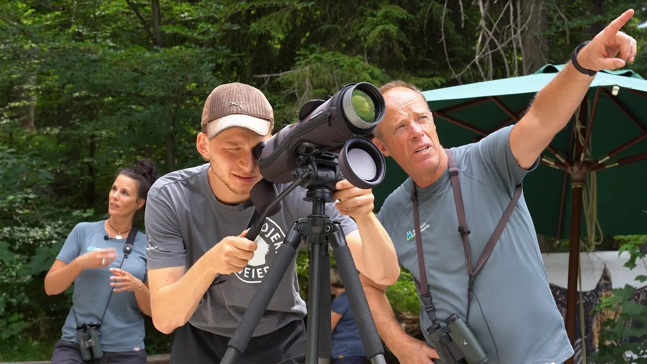
Film by the park authority

Golden eagles and bearded vultures in the national park

Footage from bird-of-prey monitoring in Berchtesgaden National Park. Otherwise the park authority's channel mostly has recorded talks; it has no landscape film.

Source: Berchtesgaden National Park authority · View channel ↗

03 · Nearby

Onward from here

The gorge lies at the entrance to the Wimbach valley in Berchtesgaden National Park. The park's other sights and rules are in the park profile.

Photo: Hartmut Clauß ↗ · CC BY-SA 4.0 ↗

Map

Wimbach Gorge (Wimbachklamm) on the terrain map

Five points, each verified against an OpenStreetMap object. All points are on the Berchtesgaden National Park map, with details and photos.

Show on mapBerchtesgaden National Park map · 3D terrain

Field book · Wimbach Gorge (Wimbachklamm)

checked 20 Sep 2026

01Rules & safety

Location, trails and rules.

Where the park boundary runs

A point-in-polygon check against the national park's OpenStreetMap boundary places the gorge entrance node and the Wimbachbrücke car park just outside. The boardwalk through the gorge, Wimbachschloss and the Wimbachgries are inside the protected area.

OpenStreetMap: boundary of Berchtesgaden National Park ↗

No trail closures reported

When we checked on 27 September 2026, the park authority's trail conditions page said there were currently no trail closures in Berchtesgaden National Park. Check again before longer hikes.

Berchtesgaden National Park authority: trail conditions ↗

Upper Wimbach valley: new trail to the Trischübel

A rockfall in August 2025 buried the old trail from the upper Wimbach valley to the Trischübel pass; according to the park authority it has been closed since because of the risk of further rockfall. A new trail has been open since 6 July 2026. It is graded intermediate, but its upper part has a steep step secured with a steel cable and a risk of falling.

Berchtesgaden National Park authority: new trail in the upper Wimbach valley opened (press release, 6 July 2026) ↗

Rockfall near the walls

Near rock walls there is a risk of rockfall in any weather. For hikes up the valley, the park authority's trail grades also apply, from easy mountain paths to difficult trails with a risk of falling.

Berchtesgaden National Park authority: safety in the high mountains ↗

The weather can turn

In the mountains the weather can change very quickly. Pack sturdy footwear, rain gear and warm clothing; the boardwalks are slippery when wet.

Berchtesgaden National Park authority: safety in the high mountains ↗

Rules in the protected area

Germany's only Alpine national park has its own code of conduct. The park authority publishes it in full, and it applies in the Wimbach valley as everywhere else in the park.

Berchtesgaden National Park authority: code of conduct ↗

02Wimbach Gorge (Wimbachklamm): frequently asked questions

Short answers, with sources.

How much does the Wimbachklamm cost?

€4 from age 7. Tickets are sold only from the machine at the gorge entrance; the operator does not state a separate rate for younger children.

Bergerlebnis Berchtesgaden: Wimbach Gorge, Ramsau ↗

When is the Wimbach Gorge open?

In the 2026 season, daily from 30 April to 31 October, including public holidays. Outside this period it is closed. The national park information point at the car park, however, is open all year.

Bergerlebnis Berchtesgaden: Wimbach Gorge, Ramsau ↗

How long does it take to walk through the Wimbach Gorge?

The boardwalk is about 200 m long, a short walk. Bergerlebnis Berchtesgaden gives the signposted hike through the Wimbach Gorge as 2 hours, 8.5 km (5.3 mi) and 312 m (1,024 ft) of ascent.

Bergerlebnis Berchtesgaden: Wimbach Gorge, Ramsau ↗

Can you walk back through the gorge?

No. You can only enter from the gorge entrance. Coming back from Wimbachschloss, you take a path above the gorge.

Bergerlebnis Berchtesgaden: Wimbach Gorge, Ramsau ↗

Where do you park for the Wimbach Gorge?

At the Wimbachbrücke car park, Rotheben 14, Ramsau bei Berchtesgaden. Bus 846 also stops there, and the free Wimbachbrücke national park information point is next to it.

Bergerlebnis Berchtesgaden: Wimbach Gorge, Ramsau ↗

What is beyond the gorge?

The Wimbach valley with the Wimbachgries, where the water flows underground. On the way is Wimbachschloss, a former Wittelsbach hunting lodge that is now a mountain inn; in the upper valley, the Wimbachgrieshütte offers overnight stays.

Bergerlebnis Berchtesgaden: Wimbach Gorge, Ramsau ↗

03Sources and last checked

Operator, municipality and park authority, each fact cited individually.

Places on the map

  • Wimbach Gorge (Wimbachklamm) Gorge with boardwalks

    The gorge entrance at the mouth of the valley. A point-in-polygon check places the entrance node just outside the park boundary; the boardwalk itself and the valley beyond are inside the protected area.

    Location source ↗
  • Wimbachbrücke car park Car park & information point

    Rotheben 14, Ramsau bei Berchtesgaden. Bus 846 also stops here. The national park's Wimbachbrücke information point is at the car park: unstaffed, free entry.

    Location source ↗
  • Wimbachschloss Mountain inn in the park

    The former Wittelsbach hunting lodge, now a mountain inn. One of the five huts the Free State of Bavaria owns in the national park, open in summer.

    Location source ↗
  • Wimbachgrieshütte Hut with overnight stays

    In the upper Wimbach valley, the goal of the long route: 5:30 hours, 17 km (10.6 mi), 699 m (2,293 ft) of ascent from the valley.

    Location source ↗
  • Watzmann Above the gorge

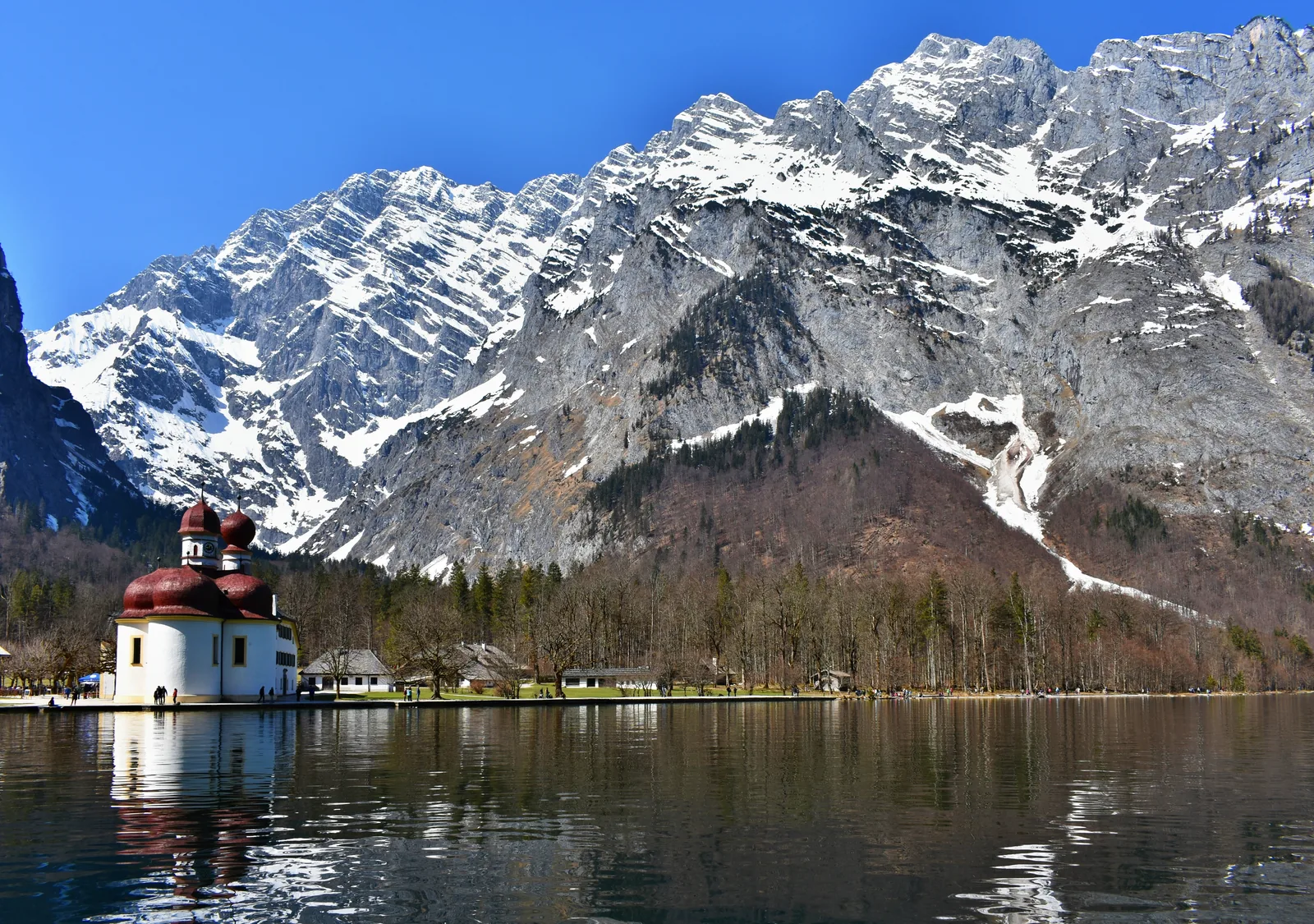
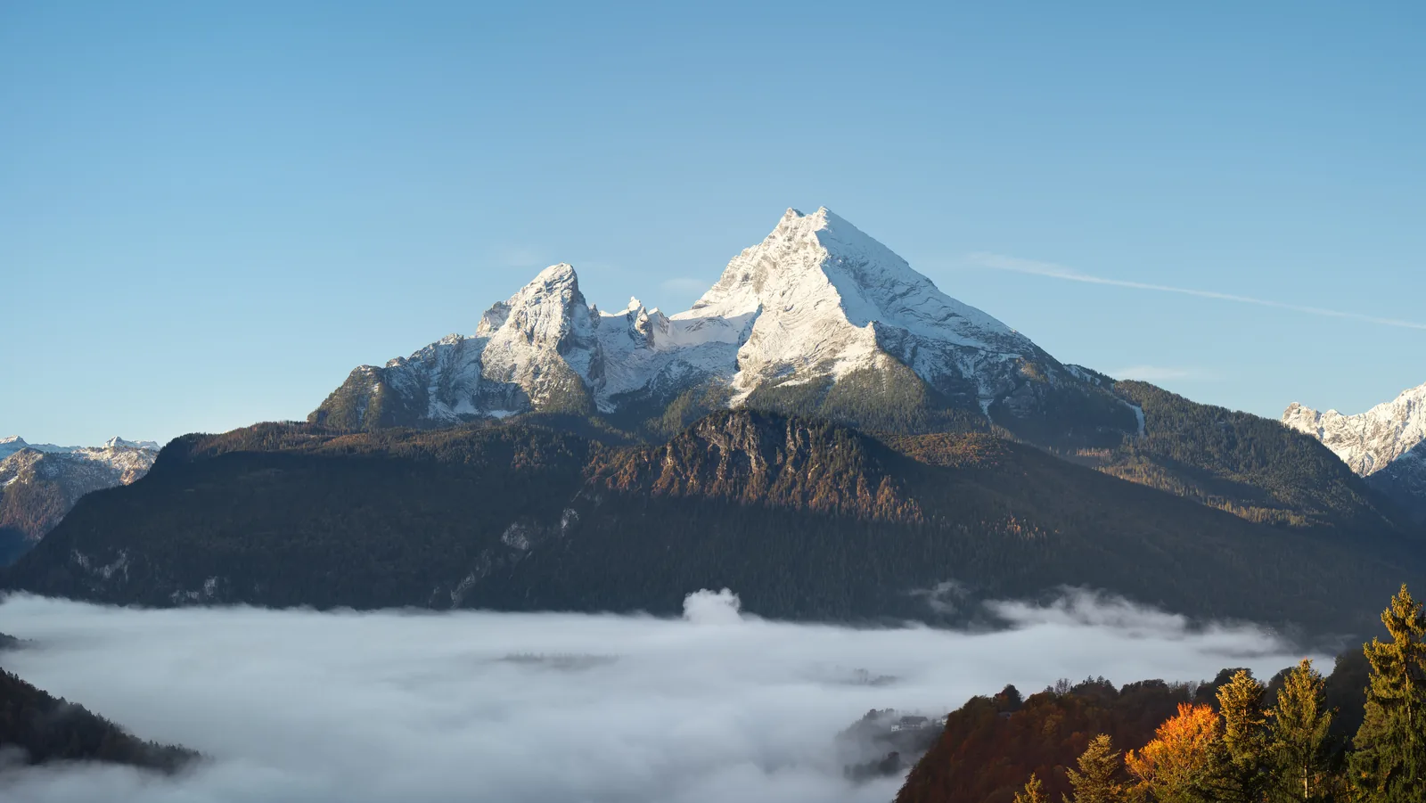
    The Wimbach valley lies between the Watzmann and the Hochkalter. At 2,713 m (8,901 ft), the Watzmann is the highest point in the national park.

    Location source ↗
  1. Bergerlebnis Berchtesgaden: Wimbach Gorge, Ramsau ↗
  2. Berchtesgaden National Park authority: Wimbachbrücke information point ↗
  3. Berchtesgaden National Park authority: safety in the high mountains ↗
  4. Berchtesgaden National Park authority: trail conditions ↗
  5. Berchtesgaden National Park authority: new trail in the upper Wimbach valley opened (press release, 6 July 2026) ↗
  6. Berchtesgaden National Park authority: mountain huts and alpine pastures ↗
  7. Berchtesgaden National Park authority: code of conduct ↗
  8. OpenStreetMap: boundary of Berchtesgaden National Park ↗
  9. Berchtesgaden National Park: moderate route suggestions, with the park authority's embedded Komoot routes (accessed 3 October 2026) ↗
  10. Berchtesgaden National Park: difficult route suggestions, with the park authority's embedded Komoot routes (accessed 3 October 2026) ↗

How current is this information?

Researched 20 Sep 2026. Not a live status. Prices, timetables and opening hours change; please check with the operator before you travel.

Current information from the operator ↗

Image and map credits

Location sources: every point on the map links to the OpenStreetMap object its coordinate comes from. Markers do not imply that access is permitted.

End of the field book · Park authority ↗