

The Watzmann: one mountain, two very different visits
Looking at the face is something entirely different from being out on the mountain.
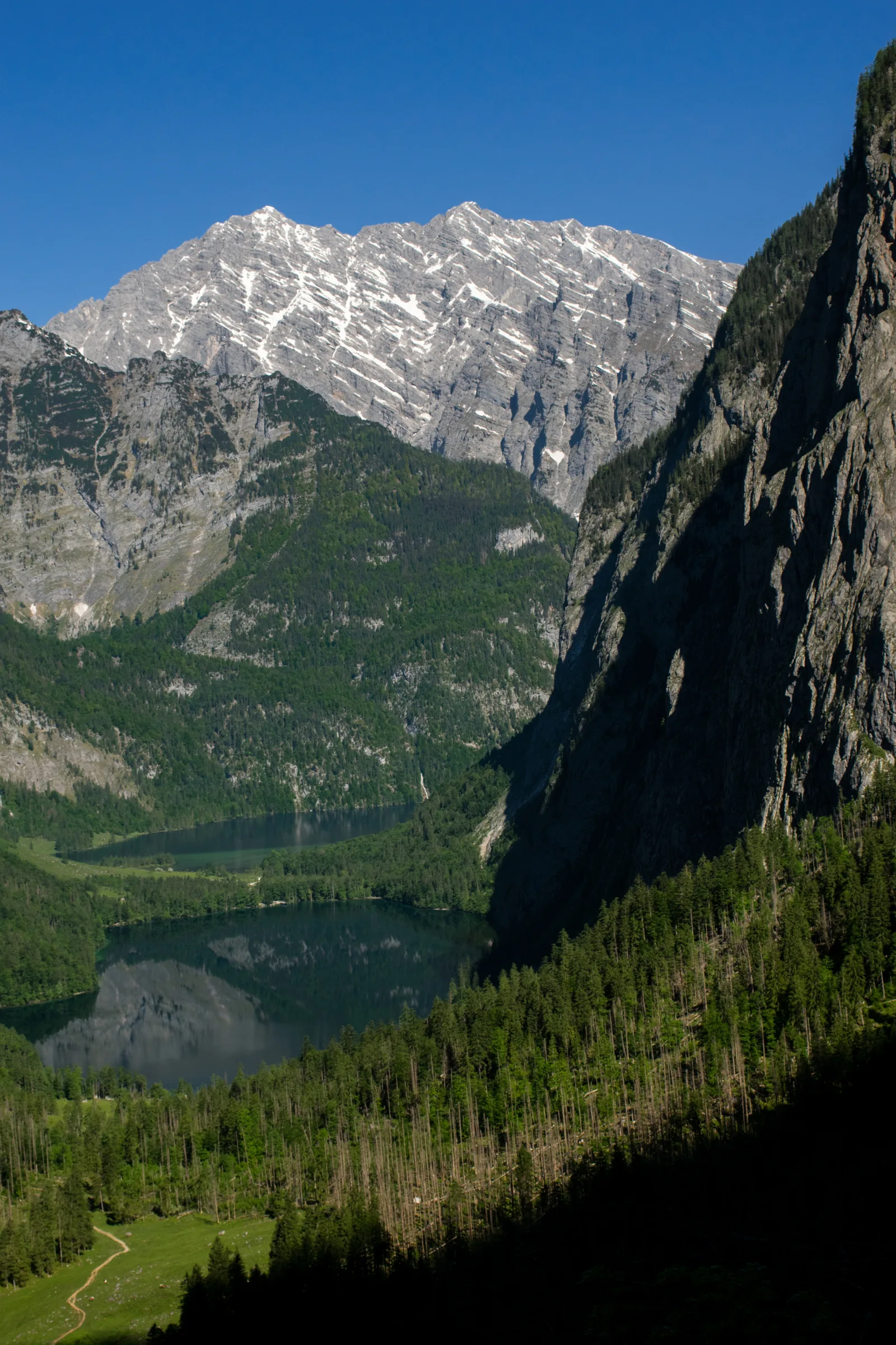
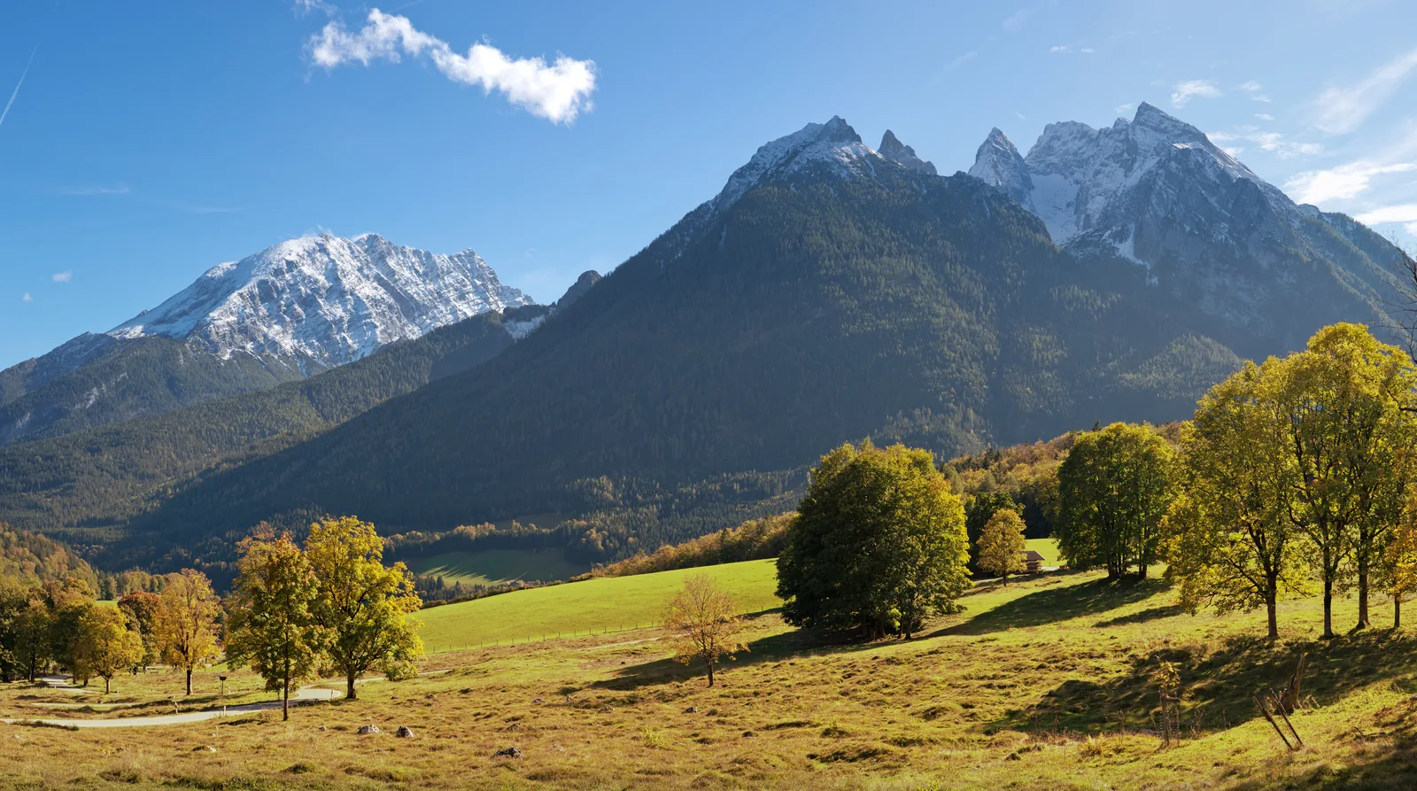
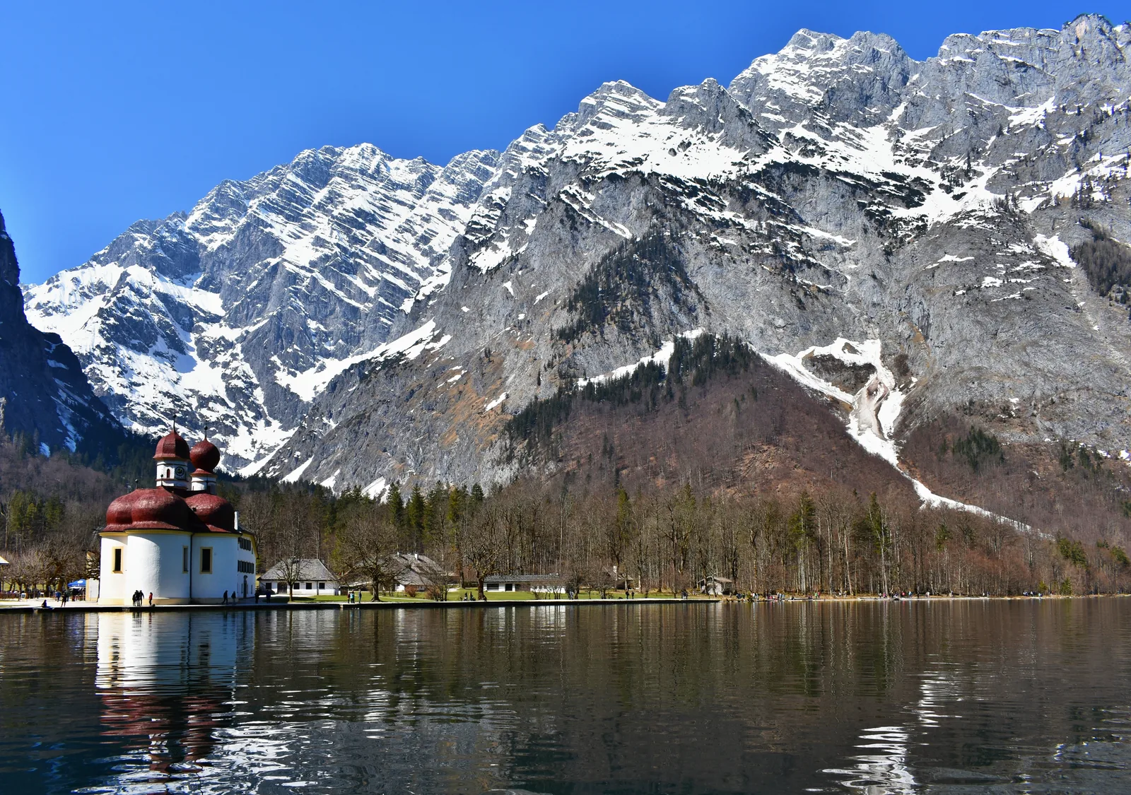
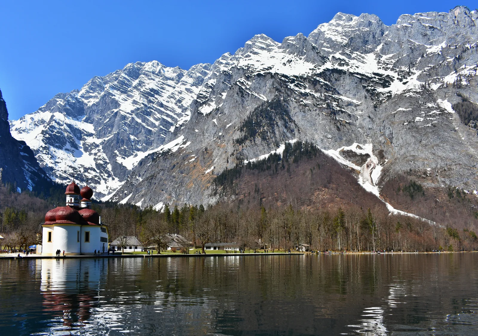
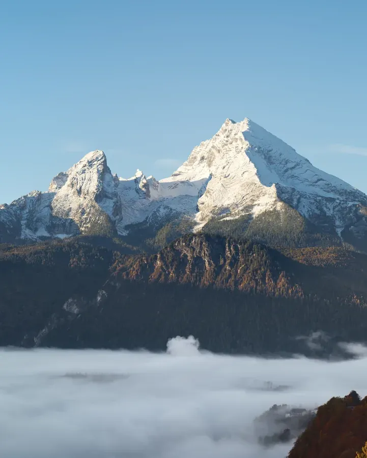
At 2,713 m (8,901 ft), the Watzmann is the highest point in Berchtesgaden National Park. According to the Bavarian Environment Agency, its East Face above St. Bartholomä, at almost 1,800 m (5,906 ft), is one of the highest rock faces in the Eastern Alps. From the bed of Lake Königssee to the summit it is about 2,300 m (7,546 ft) of height.
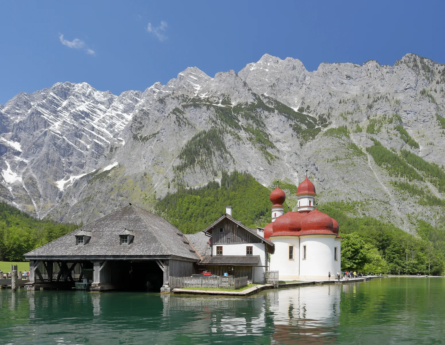
That gives you two very different ways to visit the Watzmann. One needs nothing but a boat ticket: from the boat on Lake Königssee and from St. Bartholomä, the East Face rises right in front of you. The other, the traverse, the summit or the face, is serious alpine climbing, and this atlas is no substitute for a route guide.
For everything in between, the park's trail system helps. About 260 km (162 mi) of hiking trails and alpine paths cross the national park; the main network is signposted, with yellow signs at all important trailheads and junctions. Trails are colour-coded by difficulty: four grades that state clearly where there is a risk of falling and where there is not.
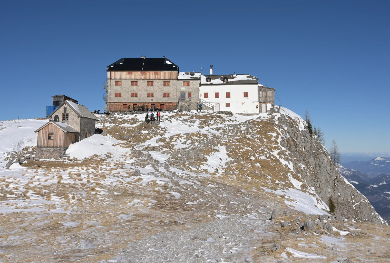
If you want to stay overnight on the mountain, there are staffed huts around the Watzmann. Five mountain huts in the national park belong to the Free State of Bavaria and are leased out; the park authority explicitly describes one of them, the Kührointalm, as lying "at the foot of the Watzmann". Check seasonal opening times before every hike.
Berchtesgaden National Park authority: the park in figures ↗
In numbers
- Height of the Mittelspitze
- 2,713 m (8,901 ft)
- Height of the East Face
- about 1,800 m (5,906 ft)
- From lake bed to summit
- about 2,300 m (7,546 ft)
- Trails in the national park
- about 260 km (162 mi)
- Trail grades
- four
- Park-owned huts
- five
- Boat to St. Bartholomä
- 35 minutes one way
- Mountain emergency number
- 112