All places Surroundings Photo: Kristina D.C. Hoeppner from Wellington, New Zealand ↗ · CC BY-SA 2.0 ↗
Kwisitis Visitor Centre Visitor centre at Wickaninnish Beach, Long Beach Unit. Opening hours may change without notice; a defibrillator is publicly accessible here.
Add to your Pacific Rim National Park Reserve visit Open in OpenStreetMap ↗ Location source ↗
49.01324, -125.67448
All places
Green Point Campground The only Parks Canada campground, 12 km (7.5 mi) north of the Ucluelet–Tofino junction. Open May to mid-October; reservations recommended.
Add to your Pacific Rim National Park Reserve visit Open in OpenStreetMap ↗ Location source ↗
49.05710, -125.72318
All places Photo: Hardo Müller from Southampton, United Kingdom ↗ · CC BY-SA 2.0 ↗
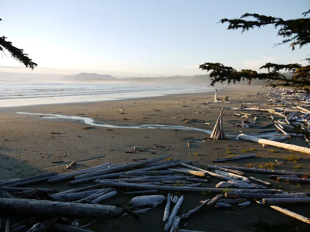
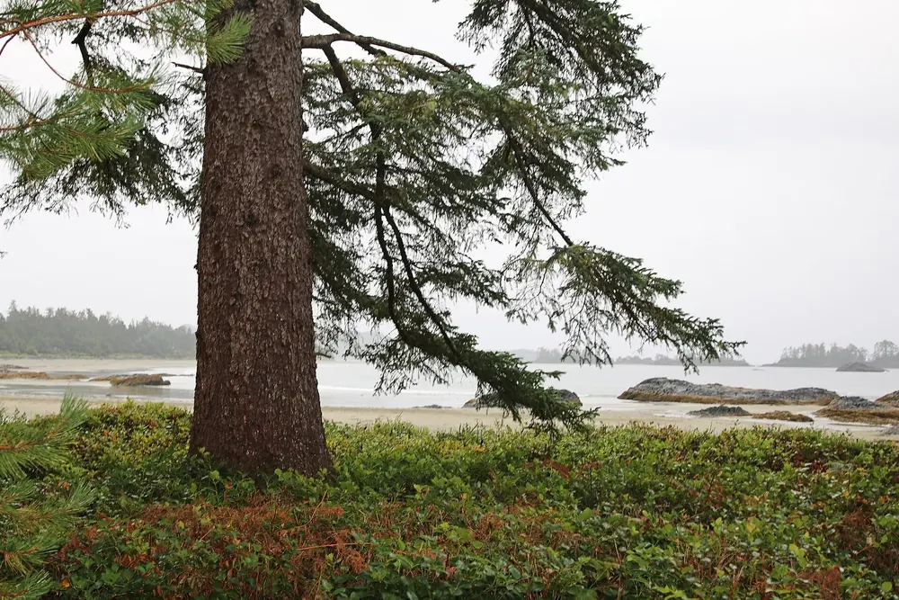
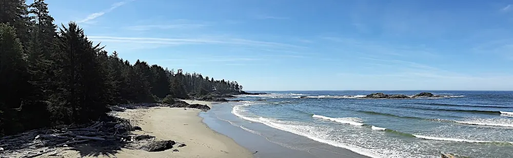
Wickaninnish Beach Wide beach with drift logs and views of the open sea. Beach fires are permitted here with a valid park pass.
Add to your Pacific Rim National Park Reserve visit Open in OpenStreetMap ↗ Location source ↗
49.02409, -125.68151
All places Photo: Colin W ↗ · CC BY-SA 3.0 ↗
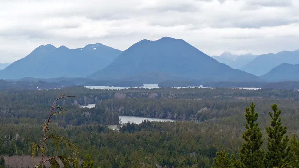
Radar Hill Hilltop with a view in the north of the Long Beach Unit; the Kapyong memorial stands here.
Add to your Pacific Rim National Park Reserve visit Open in OpenStreetMap ↗ Location source ↗
49.08395, -125.84127
All places Photo: Kristina D.C. Hoeppner from Wellington, New Zealand ↗ · CC BY-SA 2.0 ↗
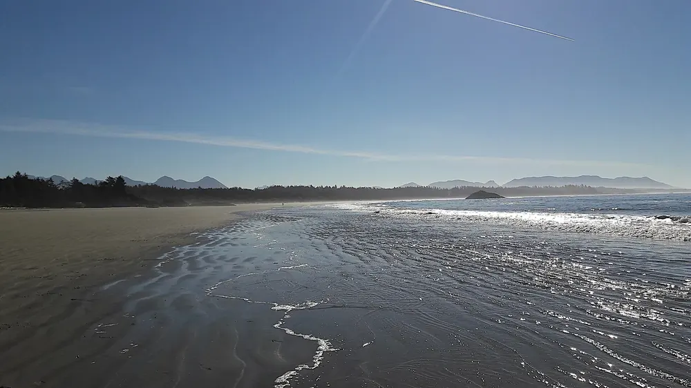
Schooner Cove Trail Short trail through the rainforest down to the beach. From the end of the trail to Sandhill Creek, beach fires are not permitted.
Add to your Pacific Rim National Park Reserve visit Open in OpenStreetMap ↗ Location source ↗
49.07117, -125.78463
All places Photo: Roy Luck ↗ · CC BY 2.0 ↗
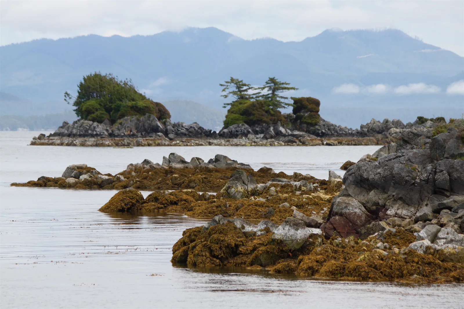
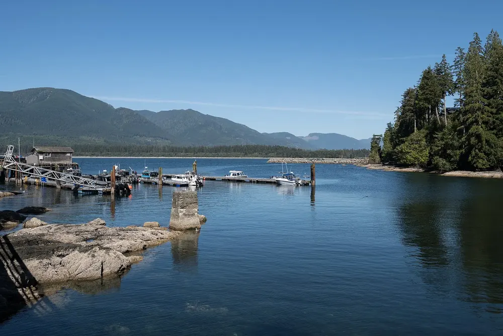
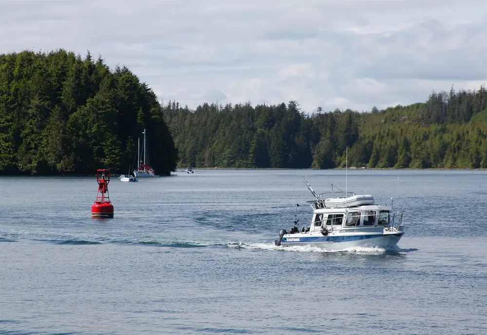
Broken Group Islands Island group in Barkley Sound, reachable by boat only. Backcountry camping on seven islands, 1 May to 30 September.
Around a hundred islands and rocks in sheltered Barkley Sound. You cannot get there without a boat, and the park authority advises against going in your own kayak from Bamfield.
Location Barkley Sound, between Ucluelet and Bamfield.
Access By water only.
Camping Backcountry camping on seven islands.
Season 1 May to 30 September, reservation required.
Warning Paddling from Bamfield or Ucluelet is not recommended because of open crossings.
Transfer With licensed operators from Port Alberni, Ucluelet or Bamfield. Add to your Pacific Rim National Park Reserve visit Open in OpenStreetMap ↗ Location source ↗
48.89035, -125.32460
All places
Pachena Bay Northern trailhead of the West Coast Trail. From here it is 75 km (47 mi) to Gordon River.
Add to your Pacific Rim National Park Reserve visit Open in OpenStreetMap ↗ Location source ↗
48.78521, -125.13157
All places Photo: AspieWiki ↗ · CC BY-SA 4.0 ↗
Bamfield Community at the northern end of the West Coast Trail, and also one of the departure points for boat transfers to the Broken Group Islands.
Add to your Pacific Rim National Park Reserve visit Open in OpenStreetMap ↗ Location source ↗
48.83309, -125.14114
All places Photo: DXR ↗ · CC BY-SA 4.0 ↗
Port Renfrew Community at the southern end of the West Coast Trail, on Gordon River. The ferry across the river costs 28.00 CAD.
Add to your Pacific Rim National Park Reserve visit Open in OpenStreetMap ↗ Location source ↗
48.55025, -124.41742
All places Photo: Christof46 ↗ · CC BY-SA 4.0 ↗
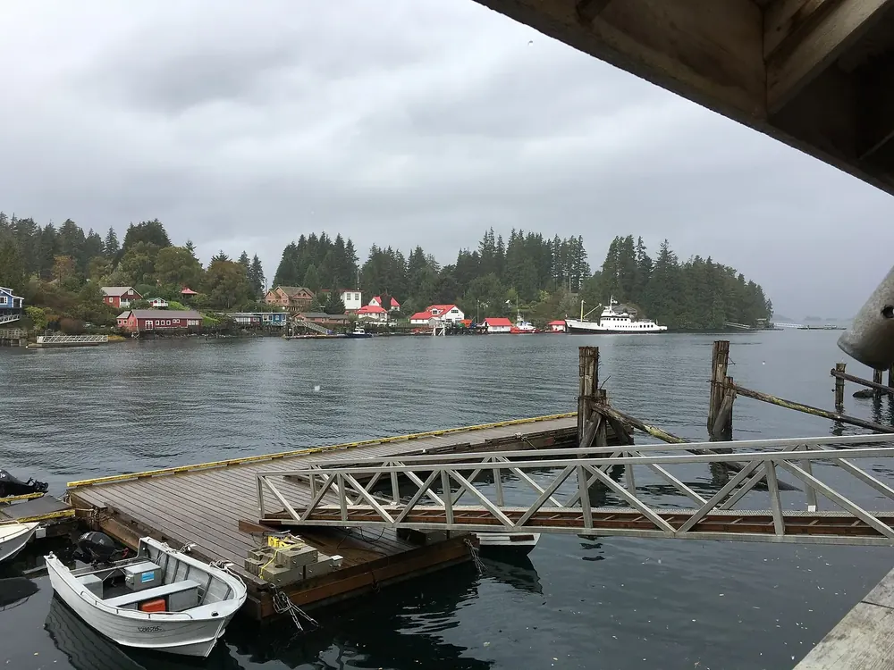
Tofino Community north of the Long Beach Unit, outside the reserve. Accommodation, surf schools and boat operators.
Guided from here · Ad
Partner links: we may earn a commission if you book. Dates and prices with the provider.
Add to your Pacific Rim National Park Reserve visit Open in OpenStreetMap ↗ Location source ↗
49.15285, -125.90483
All places Photo: Roy Luck ↗ · CC BY 2.0 ↗
Ucluelet Community south of the Long Beach Unit, outside the reserve. The park reserve’s administration office is also here.
Guided from here · Ad
Partner links: we may earn a commission if you book. Dates and prices with the provider.
Add to your Pacific Rim National Park Reserve visit Open in OpenStreetMap ↗ Location source ↗
48.94268, -125.54605
Locations verified from the linked original sources and OpenStreetMap. The map shows no trails or park boundaries; markers do not imply that access is permitted.
Map: © OpenStreetMap contributors, OpenMapTiles, OpenFreeMap. Elevation: Terrain Tiles (Mapzen, AWS Open Data); 3DEP, GMTED2010 and SRTM courtesy of the U.S. Geological Survey; EU-DEM (Copernicus, European Union); ETOPO1 (NOAA); ArcticDEM (NSF, DigitalGlobe); Geoscience Australia; Open Data Austria (DGM); Open Government Licence – Canada; INEGI; Land Information New Zealand; Kartverket; Environment Agency (UK).
Park photo: Photo: Davidwegan ↗ · CC BY-SA 4.0 ↗



 Surroundings