 Photo: m01229 ↗ · CC BY-SA 2.0 ↗
Viewpoint · Viewpoint, mile 2
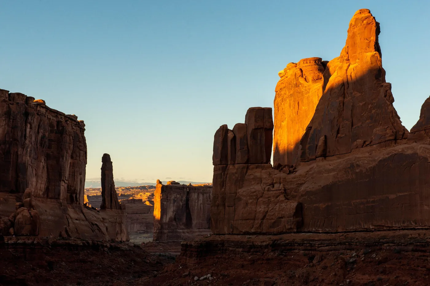
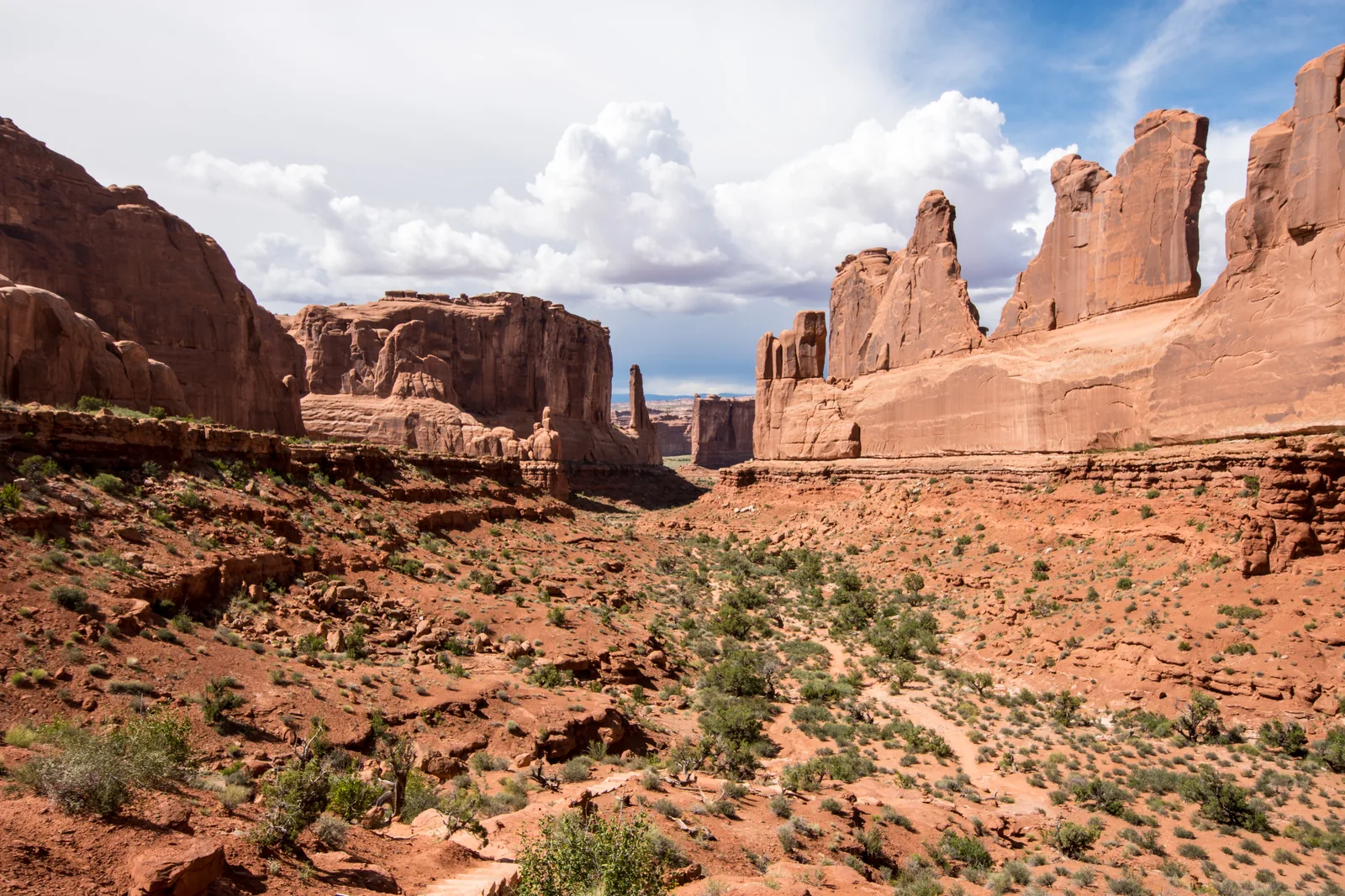
Park Avenue Viewpoint
The first stop after the entrance. From the edge you look into a valley of sheer sandstone walls, named after the street canyon in New York.
The first stop after the entrance, and the one most people drive past.
- Distance
- about 2 miles (3 km) from the entrance
- Viewpoint
- right at the car park
- Trail
- through the valley, one way
- Neighbours
- Courthouse Towers, Three Gossips
Open in OpenStreetMap ↗Location source ↗
38.62527, -109.59980
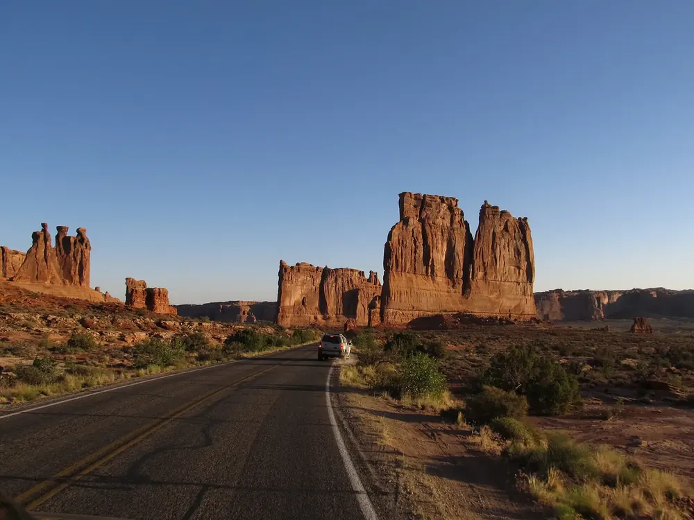 Photo: Ken Lund from Reno, Nevada, USA ↗ · CC BY-SA 2.0 ↗
Viewpoint · Roadside viewpoint
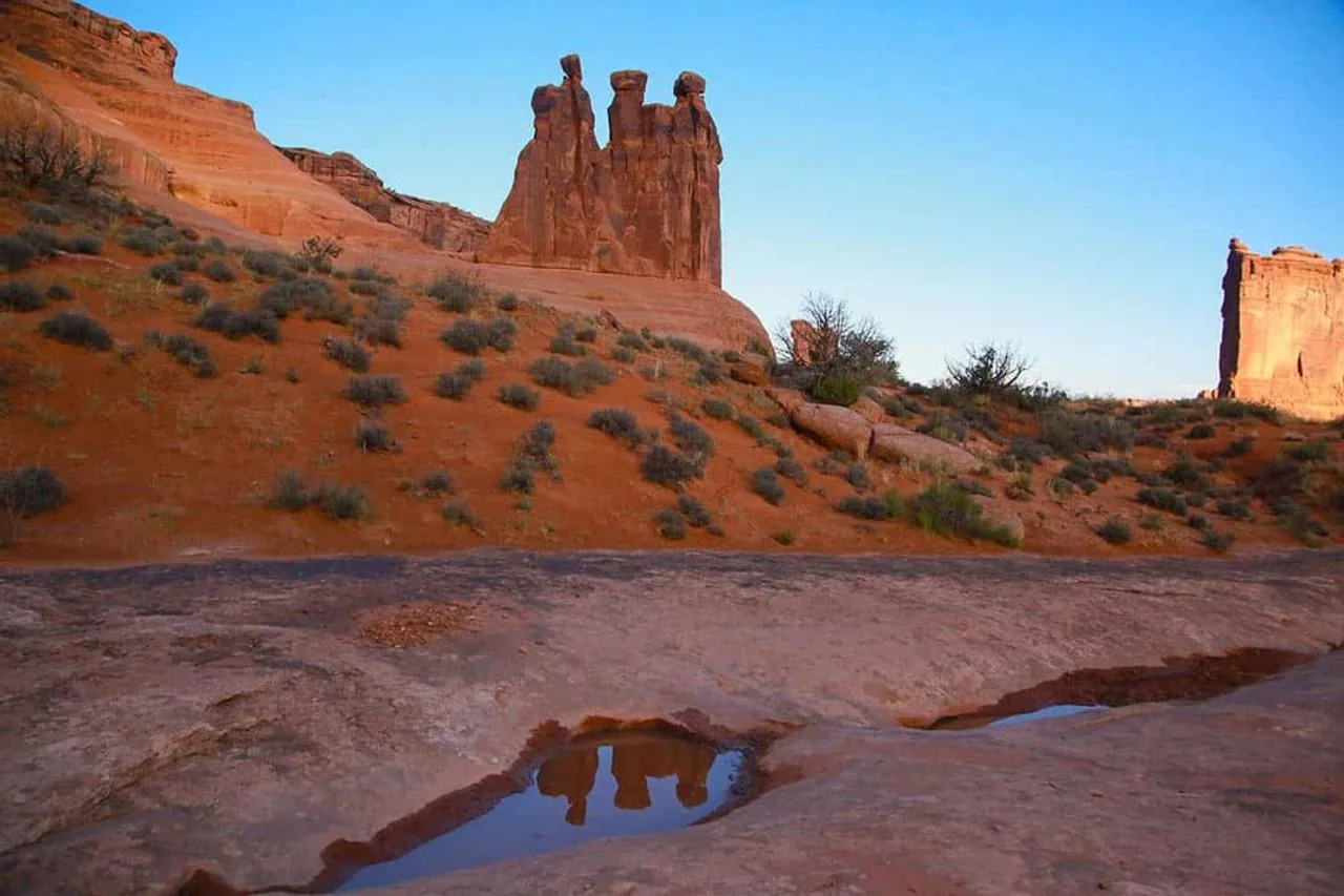
Courthouse Towers Viewpoint
Free-standing towers at the lower end of the Park Avenue valley, including the Three Gossips. The destination of many guided sunset drives.
Open in OpenStreetMap ↗Location source ↗
38.63715, -109.60001
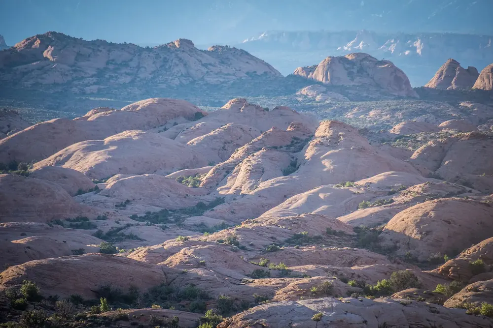 Photo: m01229 from USA ↗ · CC BY-SA 2.0 ↗
Viewpoint · Roadside viewpoint
Petrified Dunes Viewpoint
Petrified sand dunes: shifting dunes turned to stone from the time when this was a desert. Their wave shape is preserved in the rock.
Open in OpenStreetMap ↗Location source ↗
38.68254, -109.58256
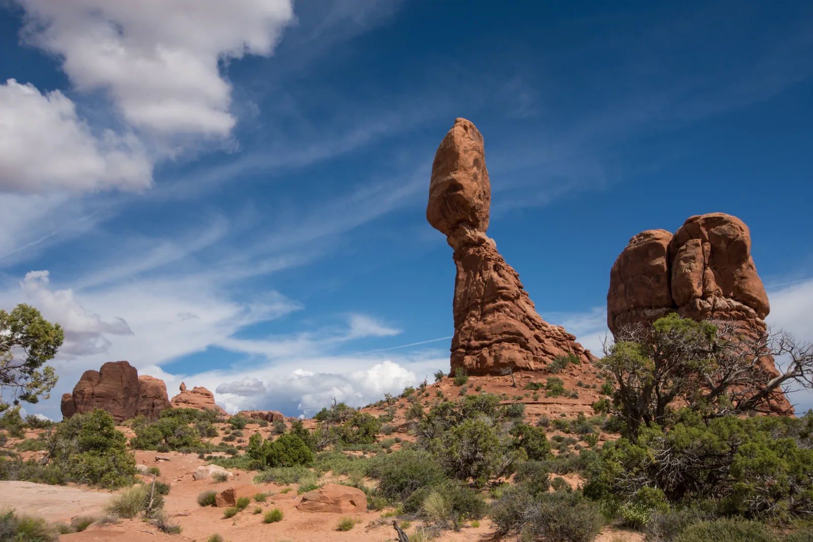 Photo: m01229 ↗ · CC BY-SA 2.0 ↗
Trails · Trailhead, mile 9.2
Balanced Rock
A block 15 metres (49 ft) high on a narrower base, right by the road. Short loop trail, 15 to 20 minutes by car from the entrance.
The stop that still works when your day is already too full.
- Distance
- 9.2 miles (14.8 km) from the entrance
- Driving time
- 15–20 minutes
- Loop trail
- short, easy
- Location
- right by the road
Open in OpenStreetMap ↗Location source ↗
38.70174, -109.56599
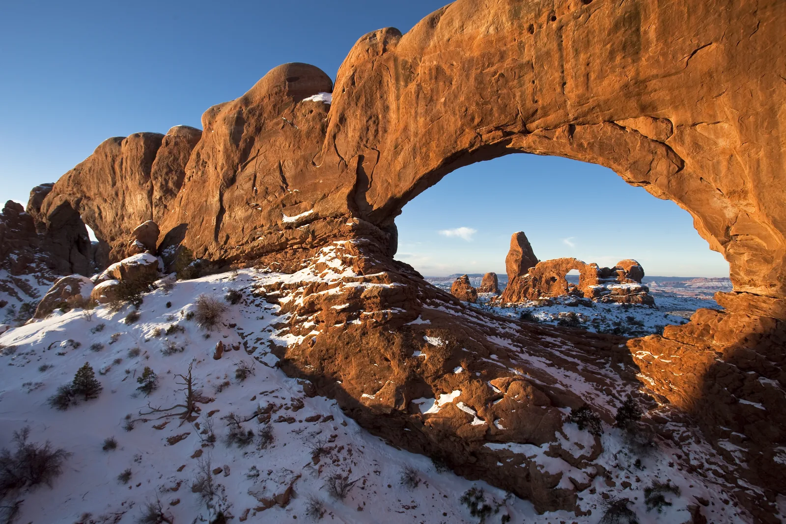 Photo: National Park Service (NPS / Jacob W. Frank) ↗ · Public domain ↗
Trails · Trailhead, mile 12
The Windows Trailhead
Access to North Window, South Window and Turret Arch. Four large arches on short trails: the densest spot in the park.
Four large arches within walking distance of each other: the densest spot in the park.
- Trailhead
- Mile 12
- Arches
- North Window, South Window, Turret Arch, Double Arch
- Trails
- short and easy
- Best time
- sunrise
Open in OpenStreetMap ↗Location source ↗
38.68711, -109.53664
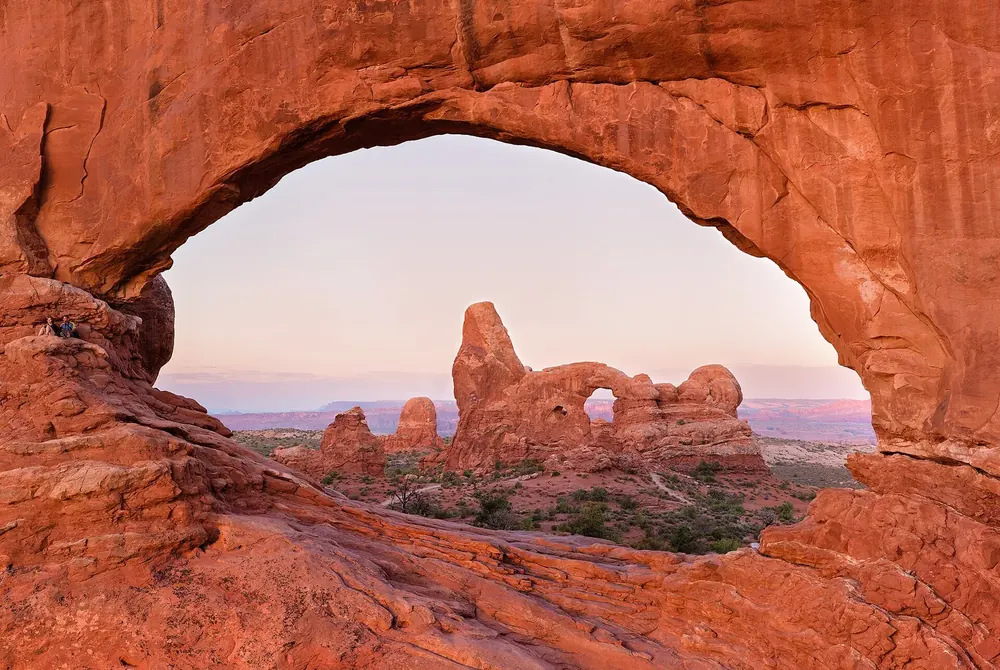 Photo: Thomas Wolf , www.foto-tw.de ↗ · CC BY-SA 3.0 ↗
Mountains & rock · Arch
North Window
One of the two “windows”. Arches are called windows when they are especially large, sit high in a wall or frame a view.
Open in OpenStreetMap ↗Location source ↗
38.68572, -109.53281
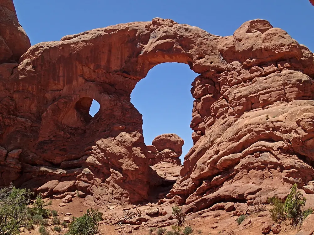 Photo: James St. John ↗ · CC BY 2.0 ↗
Mountains & rock · Arch
Turret Arch
Opposite the Windows, with a tower-like top. At sunrise you can see it framed by North Window.
Open in OpenStreetMap ↗Location source ↗
38.68438, -109.53490
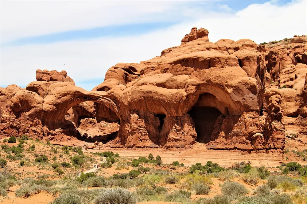 Photo: Farragutful ↗ · CC BY-SA 4.0 ↗
Mountains & rock · Arch
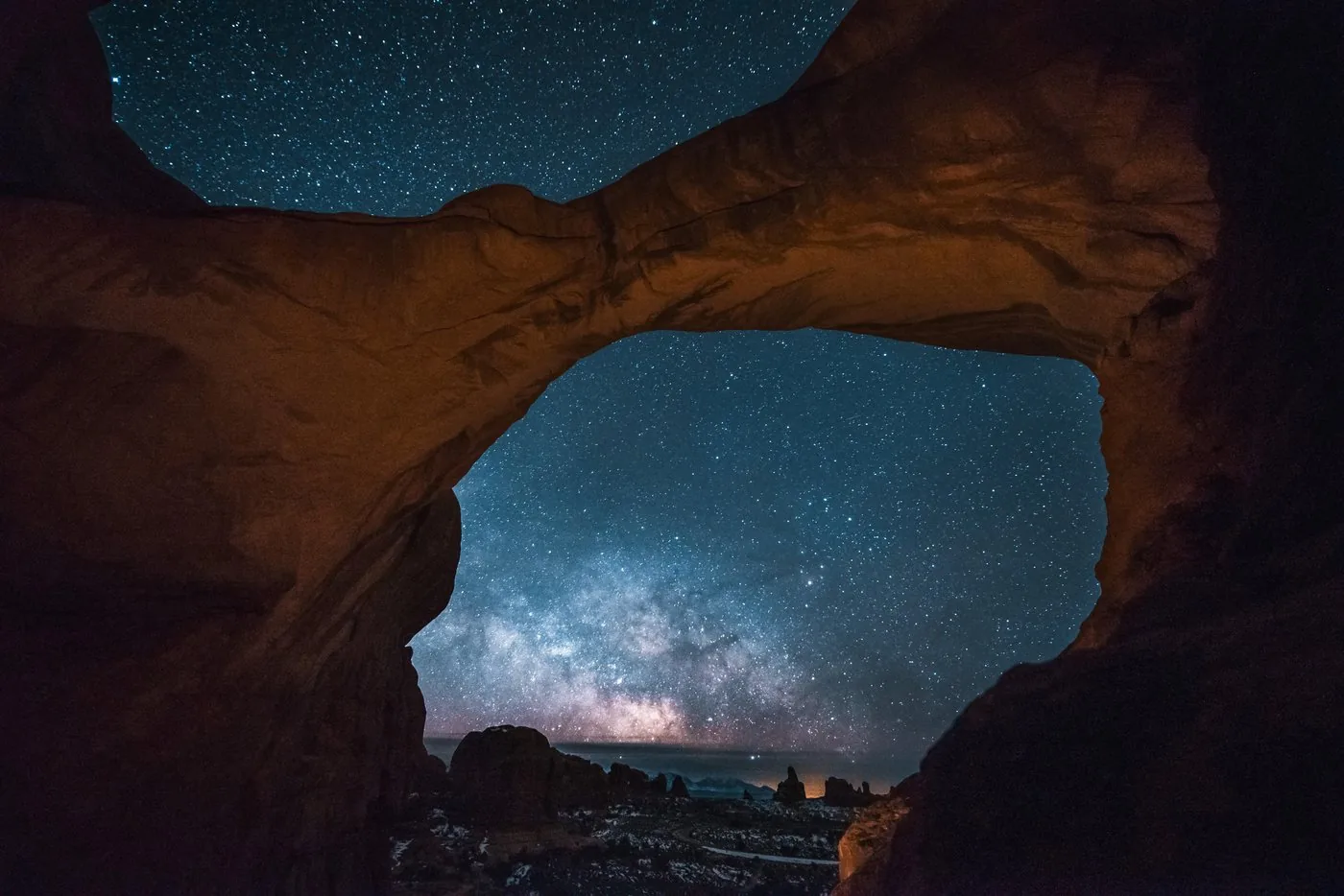
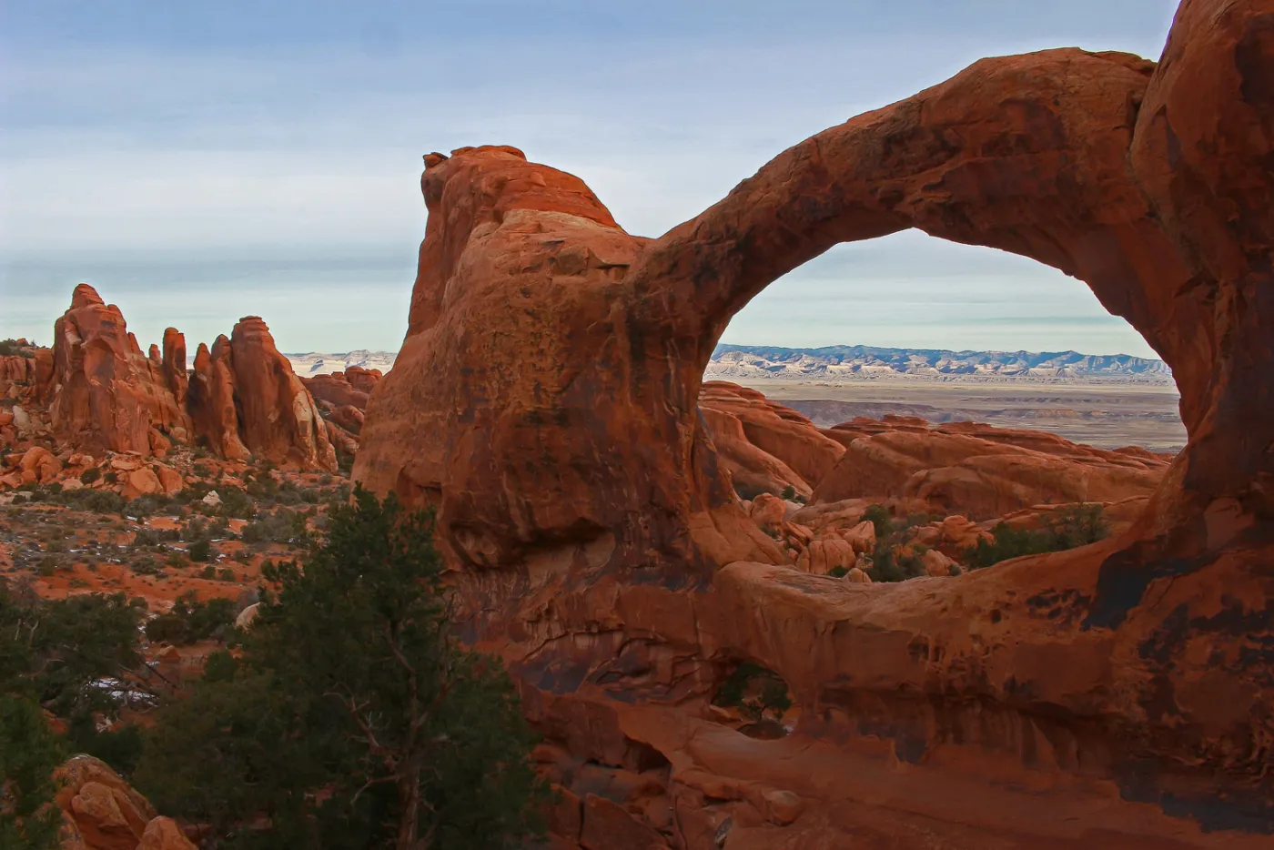
Double Arch
Two arches that share one end, a few minutes from the car park. It formed from a pothole that worked its way down through the rock.
Open in OpenStreetMap ↗Location source ↗
38.69154, -109.54029
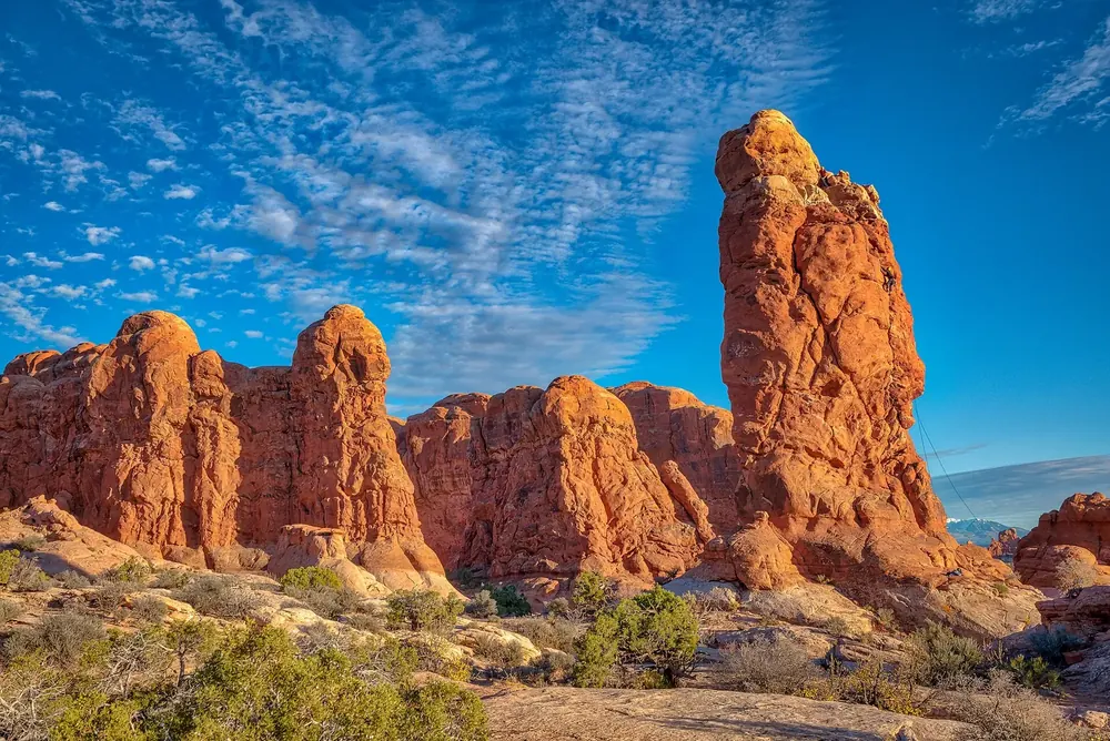 Photo: Mobilus In Mobili ↗ · CC BY-SA 2.0 ↗
Viewpoint · Roadside viewpoint
Garden of Eden
A group of free-standing rock spires between Balanced Rock and the turn-off to the Windows.
Open in OpenStreetMap ↗Location source ↗
38.69853, -109.54744
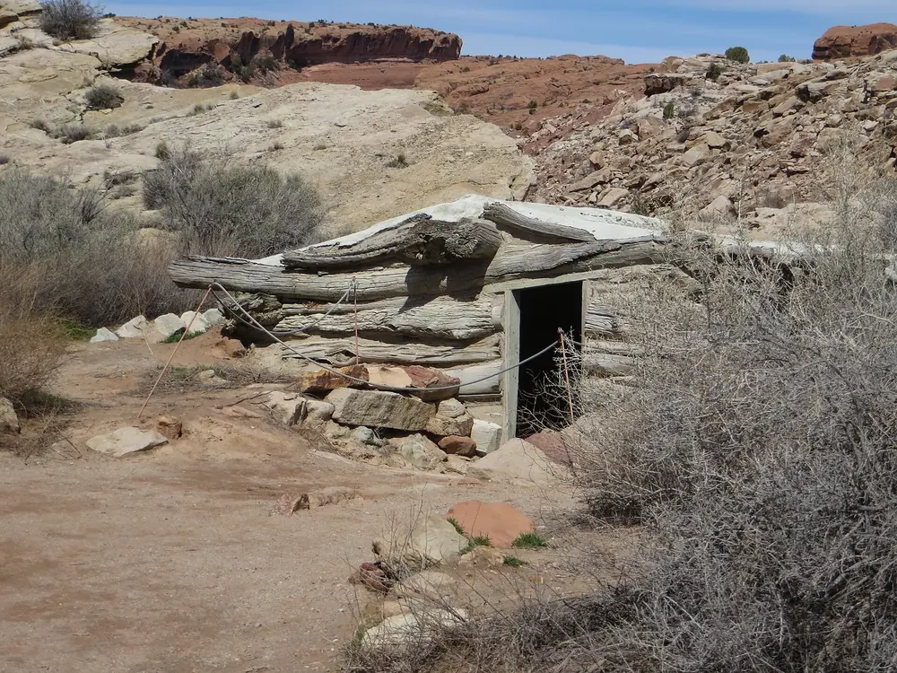 Photo: Ken Lund ↗ · CC BY-SA 2.0 ↗
History · Historic site
Wolfe Ranch
The log cabin of a settler family at the start of the Delicate Arch trail. Just beyond it is a Ute rock art panel.
Open in OpenStreetMap ↗Location source ↗
38.73649, -109.51971
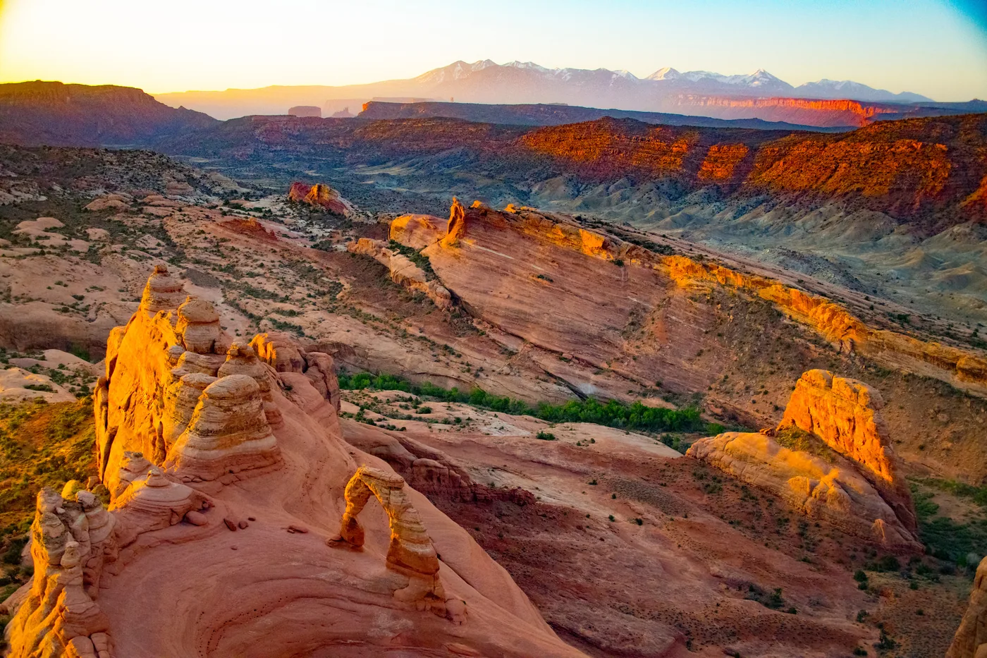
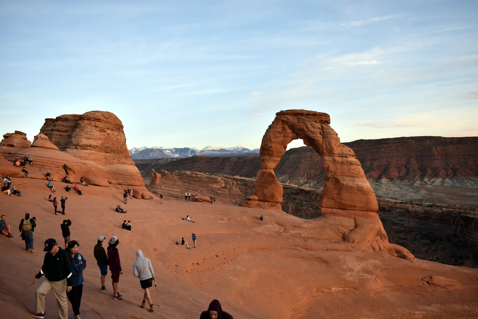 Photo: National Park Service (NPS / Marty Tow) ↗ · Public domain ↗
Trails · Trailhead, mile 13.2
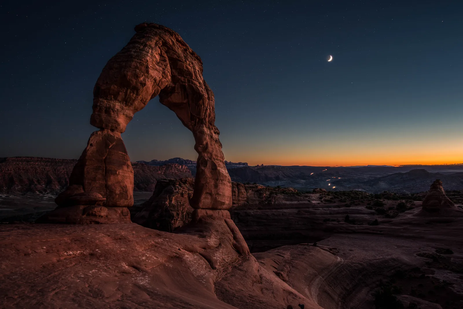
Delicate Arch Trailhead
The start of the best-known trail in the park. It crosses open slickrock, has no shade and is not marked all the way.
Twenty metres (66 ft) of free-standing sandstone, and an audience at sunset.
- Trailhead
- Mile 13.2
- Surface
- open slickrock, cairns
- Shade
- none
- Alternative
- viewpoint at mile 14.2
Open in OpenStreetMap ↗Location source ↗
38.73569, -109.52044
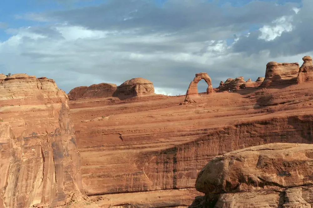 Photo: Tadam ↗ · CC BY-SA 4.0 ↗
Trails · Trailhead, mile 14.2
Delicate Arch Viewpoint Trailhead
The alternative without the climb: from here you see the arch from a distance, via a very short paved path.
Open in OpenStreetMap ↗Location source ↗
38.73410, -109.50120
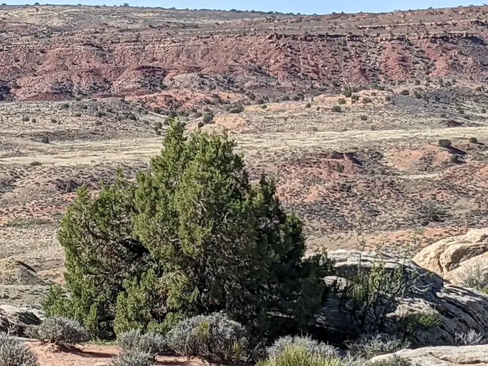 Photo: bobistraveling ↗ · CC BY 2.0 ↗
Viewpoint · Roadside viewpoint
Salt Valley Overlook
A view over Salt Valley, whose collapsed salt dome created the fractures from which the arches formed.
Open in OpenStreetMap ↗Location source ↗
38.74023, -109.57103
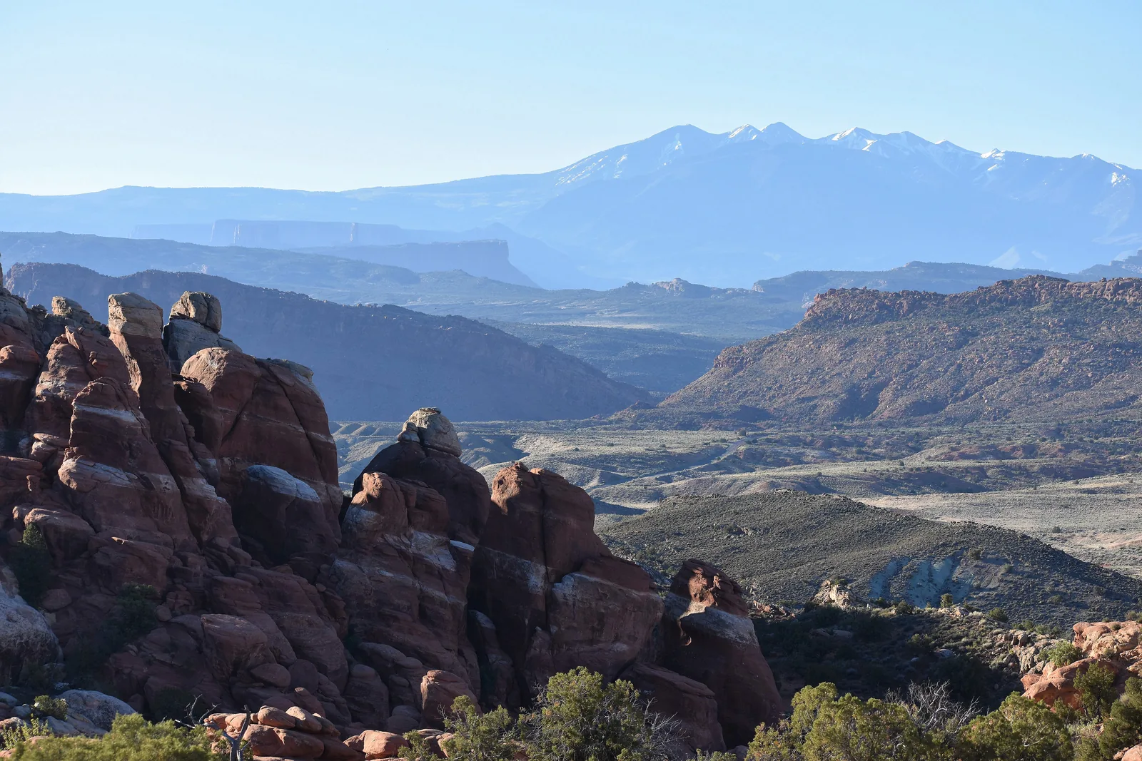 Photo: National Park Service (NPS / Marty Tow) ↗ · Public domain ↗
Trails · Trailhead, permit only
Fiery Furnace Trailhead
A maze of narrow rock passages. Entry is only allowed with a permit or with a ranger; there are no trail markings on the ground.
A maze without markings: entry by permit only.
- Access
- permit or ranger-led
- Markings
- none
- Viewpoint
- open to everyone
- Requirement
- the park authority’s mandatory video
Open in OpenStreetMap ↗Location source ↗
38.74325, -109.56582
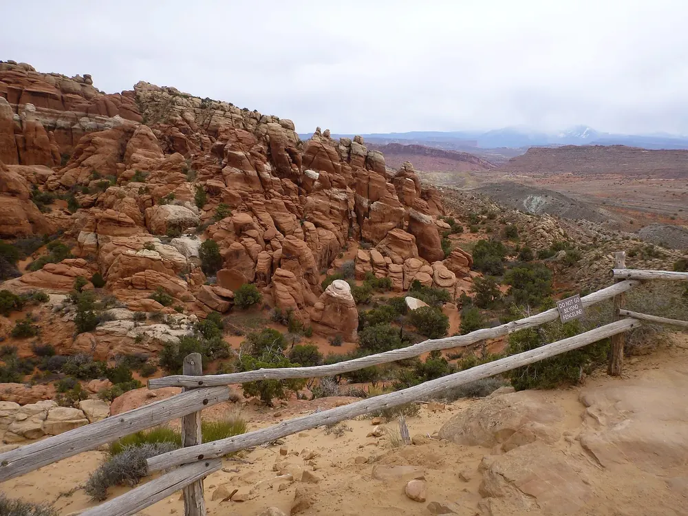 Photo: The Dye Clan ↗ · CC BY-SA 3.0 ↗
Viewpoint · Viewpoint, no permit needed
Fiery Furnace Viewpoint
The view from above of the same rock maze: open to everyone and the right stop for most visits.
Guided from here
Park authority programmes, no partner links. Dates on their website.
Open in OpenStreetMap ↗Location source ↗
38.74228, -109.56470
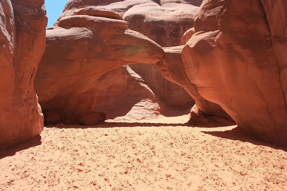 Photo: Kevin.Daniels ↗ · CC BY 3.0 ↗
Mountains & rock · Arch
Sand Dune Arch
A short walk through soft sand between two rock fins; one of the few shady spots in the park.
Open in OpenStreetMap ↗Location source ↗
38.76429, -109.58120
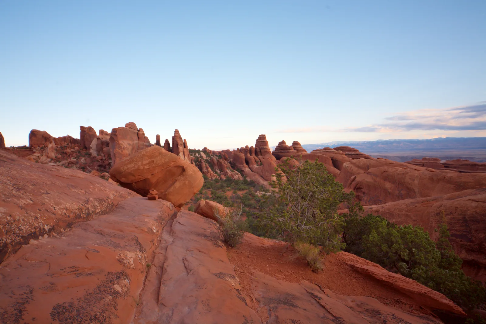 Photo: MatthiasKabel ↗ · CC BY 2.5 ↗
Trails · Trailhead, mile 18
Devils Garden Trailhead
The end of the scenic drive, 40 to 45 minutes by car from the entrance. The starting point for Landscape Arch and the primitive loop.
The end of the road, and the only place in the park where hiking gets demanding.
- Trailhead
- Mile 18
- Driving time
- 40–45 minutes from the entrance
- Easy
- as far as Landscape Arch
- Demanding
- primitive loop
Open in OpenStreetMap ↗Location source ↗
38.78293, -109.59508
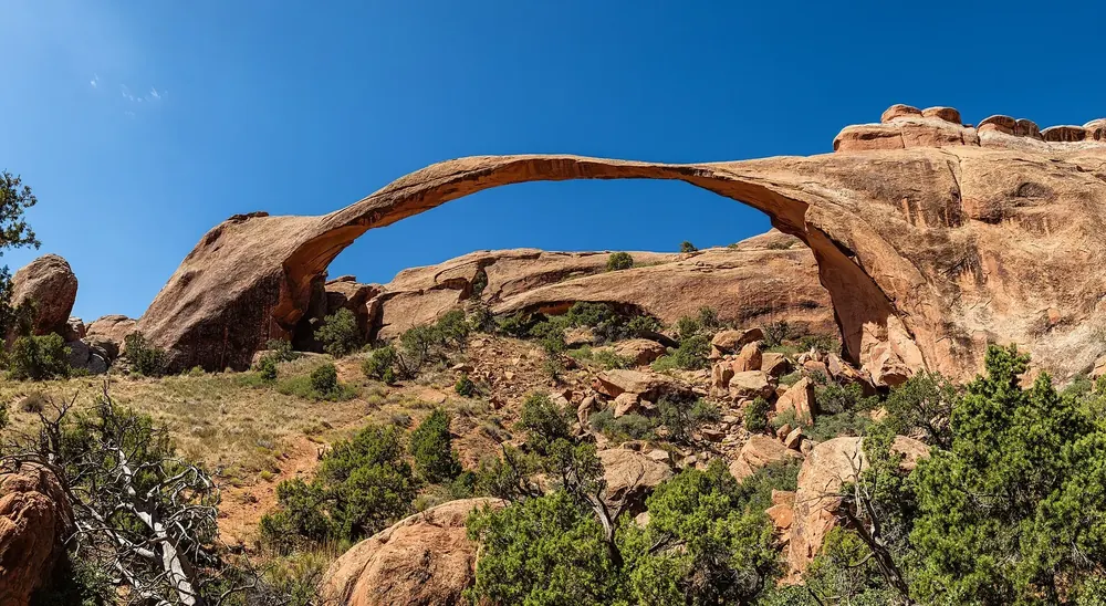 Photo: Thomas Wolf , www.foto-tw.de ↗ · CC BY-SA 3.0 ↗
Mountains & rock · Arch
Landscape Arch
The longest span in the park, wafer-thin. In 1991 a large slab broke off; since then the trail under the arch has been closed.
Open in OpenStreetMap ↗Location source ↗
38.79051, -109.60722
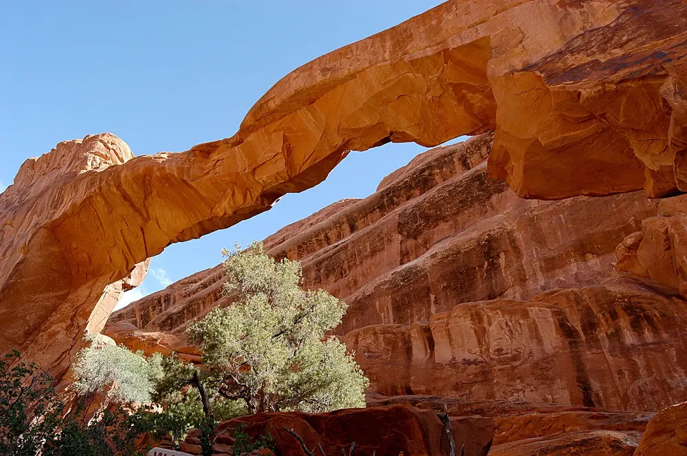 Photo: G. Edward Johnson ↗ · CC BY 3.0 ↗
Mountains & rock · Collapsed arch
Wall Arch stood beside the Devils Garden trail until August 2008. Its collapse is the most visible proof that arches do not last.
Open in OpenStreetMap ↗Location source ↗
38.79238, -109.60772
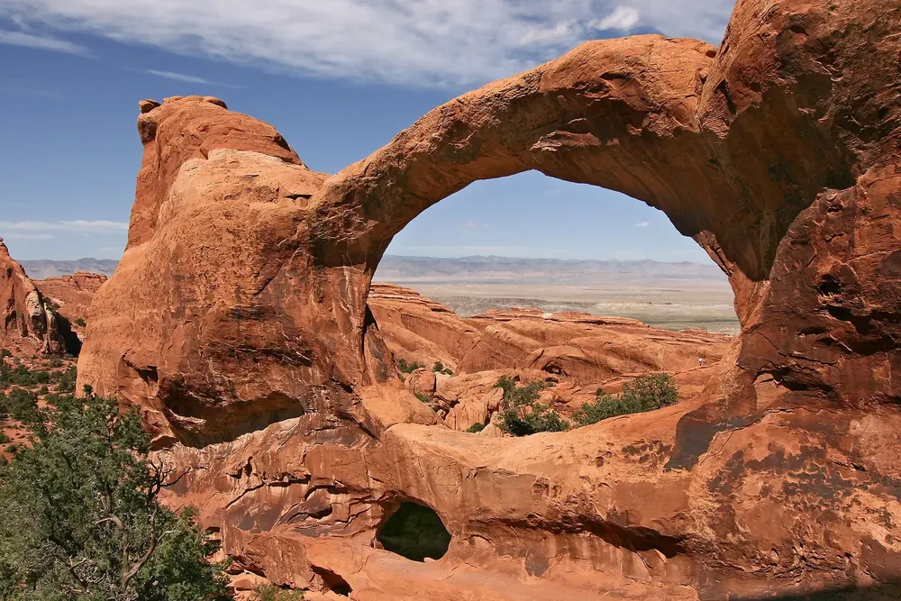 Photo: Flicka ↗ · CC BY-SA 3.0 ↗
Mountains & rock · Arch on the primitive trail
Double O Arch
Two openings, one above the other, at the end of the Devils Garden trail. The return via the primitive trail requires sure footing.
Open in OpenStreetMap ↗Location source ↗
38.79907, -109.62108