National Parks Atlas
To the park
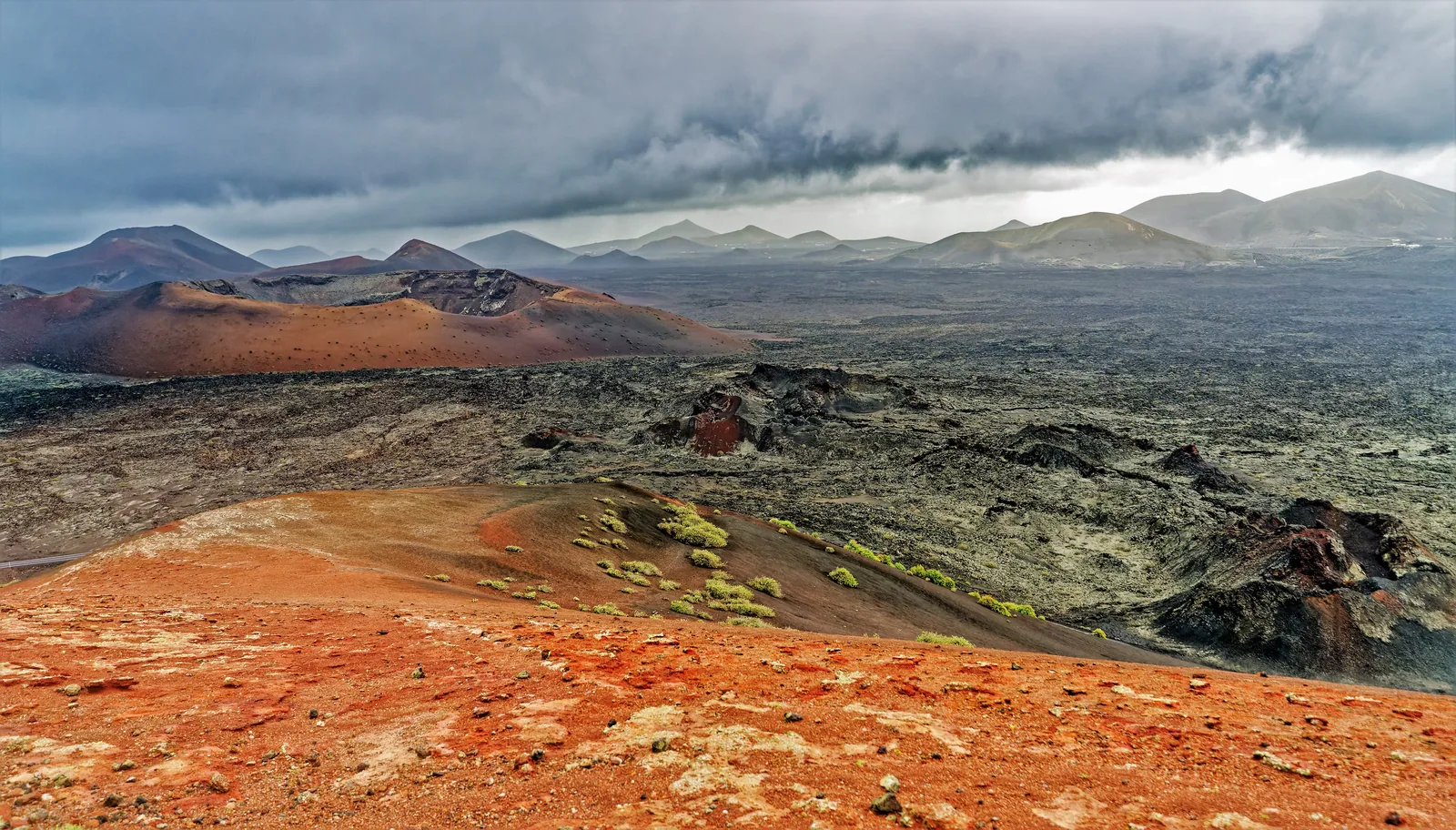
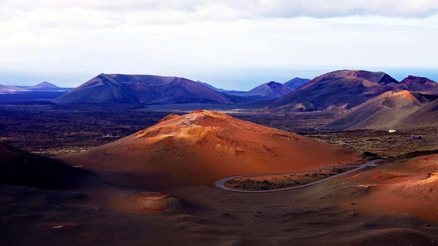
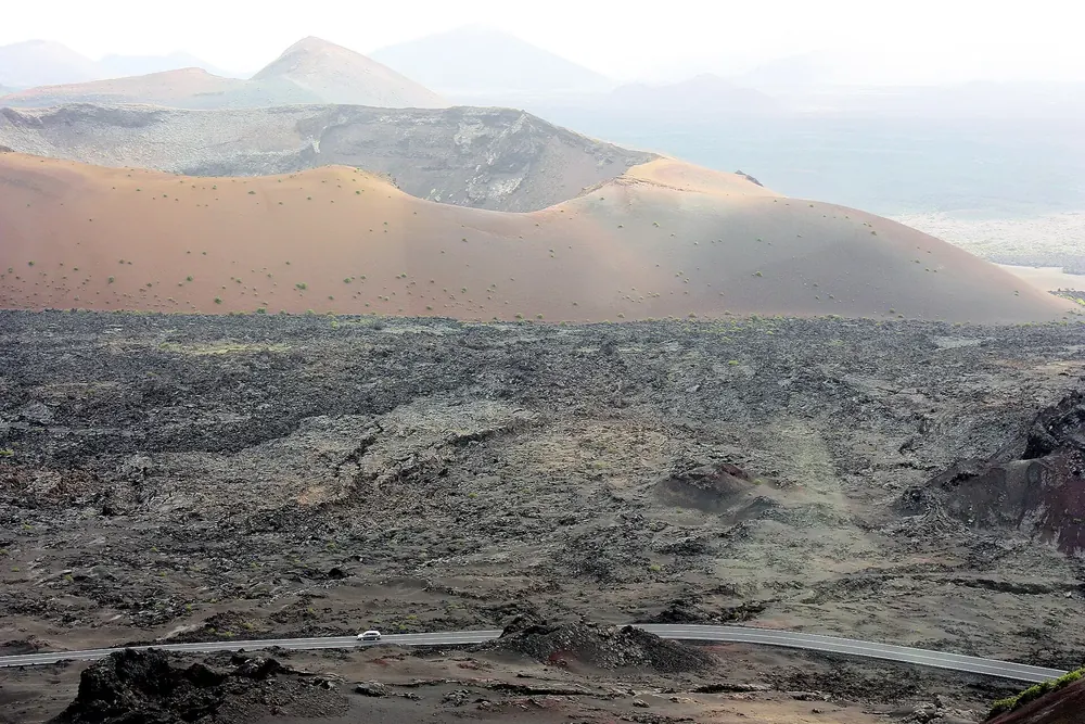
Red and black volcanic cones of Timanfaya National Park under dark cloud, with lapilli and the first lichens in the foreground

Timanfaya National Park: map

32 places with verified coordinates · 27 with photo

Offers in the park · 8

Ad · partner links: we may earn a commission if you book. Offer details checked 2 Oct 2026; dates and prices with the provider.

Nature · Ticket office and time-slot check on the LZ-602

El Taro access control

This is where a visit to the Montañas del Fuego begins: show your timed ticket 15 minutes before the booked time. From here to the car park on Islote de Hilario nobody may get out. The coordinates come from the operator's ticket shop.

Open in OpenStreetMap ↗Location source ↗

29.01004, -13.73457

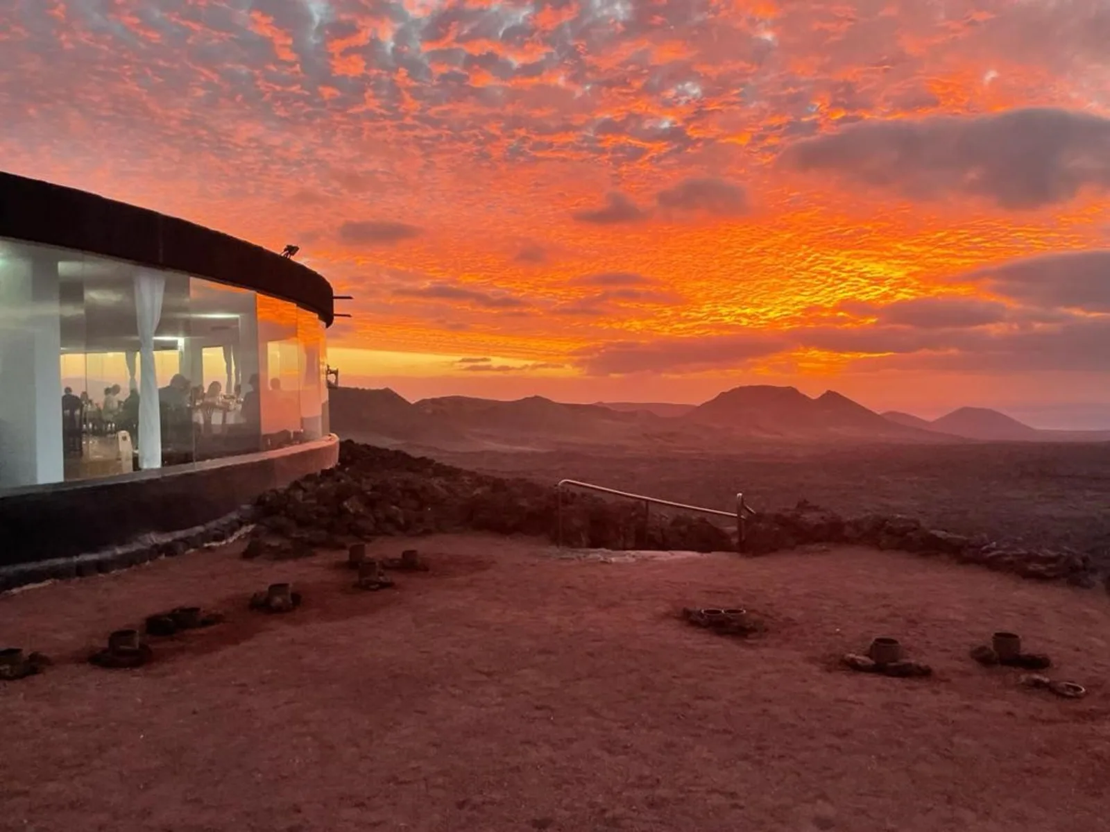
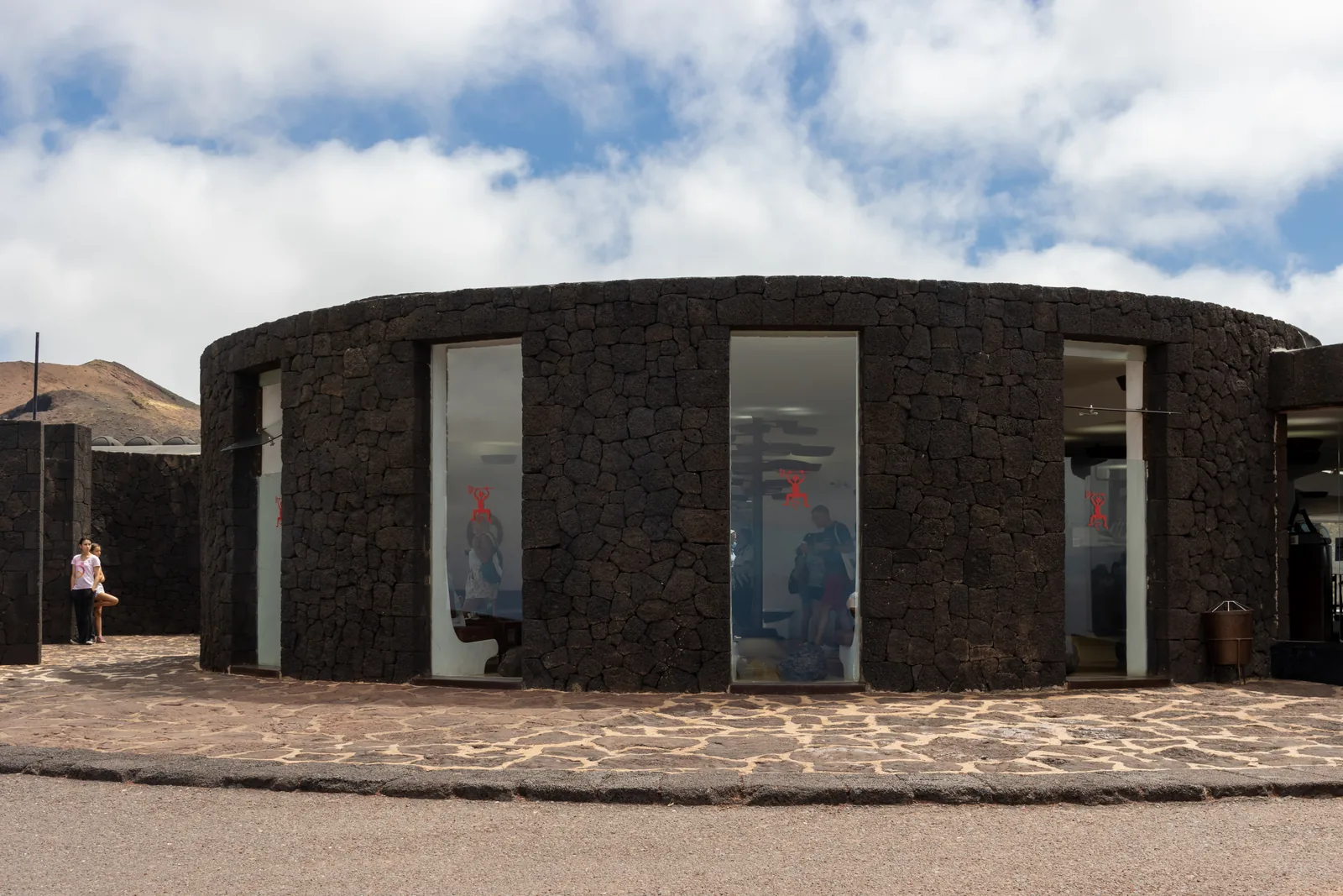
The round building of black lava stone in Timanfaya National Park on Islote de Hilario, with its glass front and visitors outside
Photo: Mike Peel (www.mikepeel.net) ↗ · CC BY-SA 4.0 ↗

Arrival · Montañas del Fuego centre, start of the bus route

Islote de Hilario

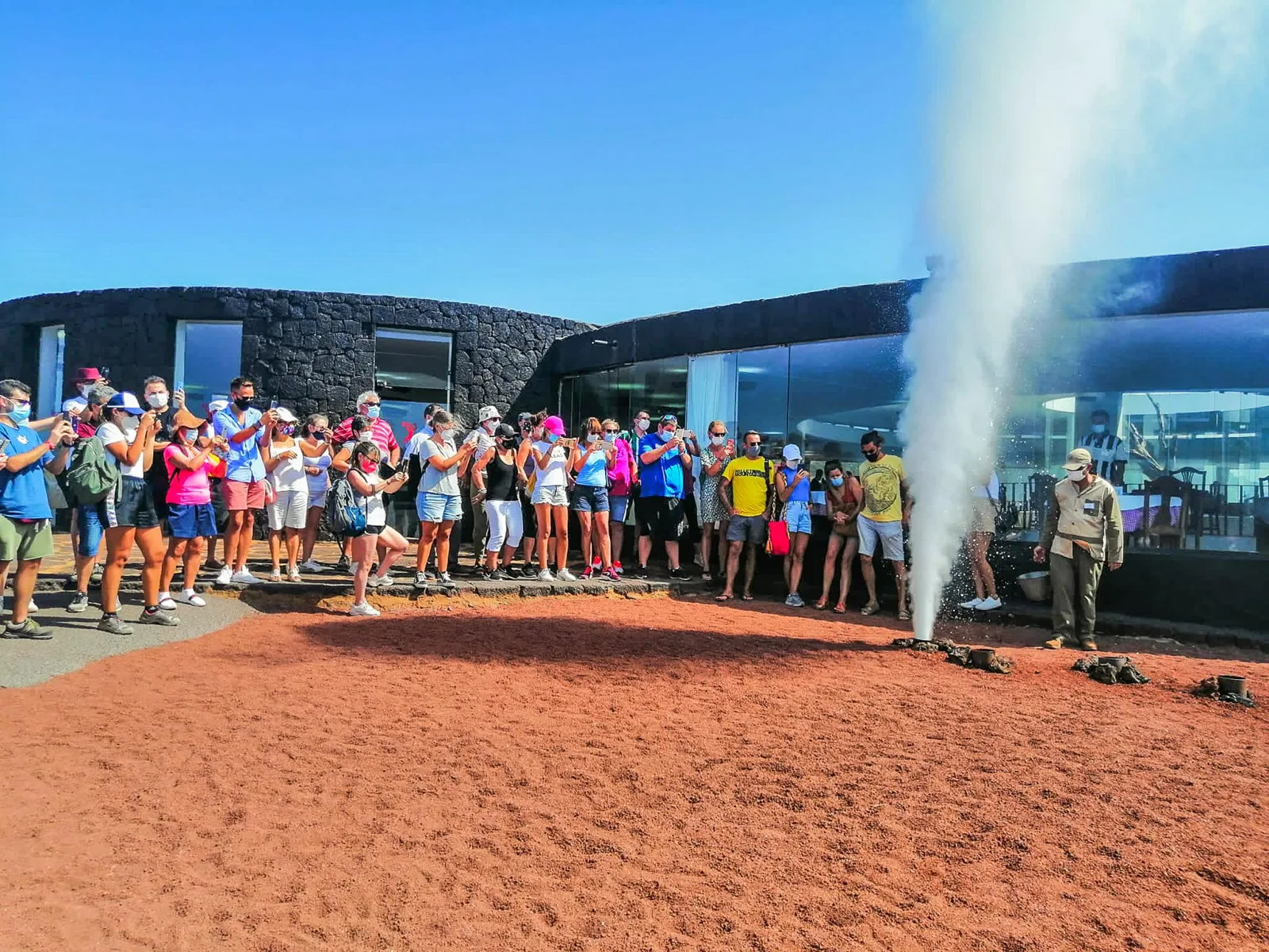
Car park, ticket office, geothermal demonstrations, El Diablo restaurant, shop, free Wi-Fi. The bus for the Ruta de los Volcanes leaves from here. The operator warns about the slope of the car park when you open your car doors.
The hill where brushwood catches fire in the ground, water shoots out of a pipe as steam and the bus departs.
Ticket
€30, children 7 to 12 €15, online only
Time slots
operator 9:30 to 15:45, park authority 9:00 to 17:00
Length of visit
around 1 hour 15 minutes
Parking
free, free Wi-Fi

Open in OpenStreetMap ↗Location source ↗

29.00283, -13.75067

The round grill of the El Diablo restaurant in Timanfaya National Park with chicken and sausages on the racks above the open shaft
Photo: Fry72 (Karel Frydrýšek) ↗ · CC BY-SA 4.0 ↗

Nature · Cabildo restaurant, grill over geothermal heat

Restaurante El Diablo

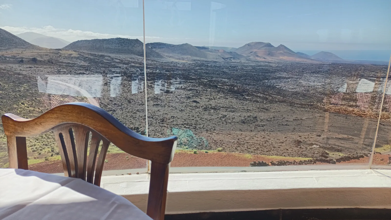
Designed by César Manrique, with a round glass dining room above the lava field. The grill sits over a shaft five metres (16 ft) deep at around 250 degrees. No reservations; tables go in order of arrival.

A grill over a shaft five metres (16 ft) deep, where the earth is at around 250 degrees.

Operator
Cabildo de Lanzarote, through CACT
Reservations
none, tables in order of arrival
Design
César Manrique
Location
Islote de Hilario, inside the ticketed area

Open in OpenStreetMap ↗Location source ↗

29.00548, -13.75312

Mountains & rock · Crater next to Islote de Hilario

Cráter de Timanfaya

One of the roughly 25 craters of the Montañas del Fuego, which the park authority describes as the core of the 1730 to 1736 eruptions.

Open in OpenStreetMap ↗Location source ↗

29.00070, -13.74733

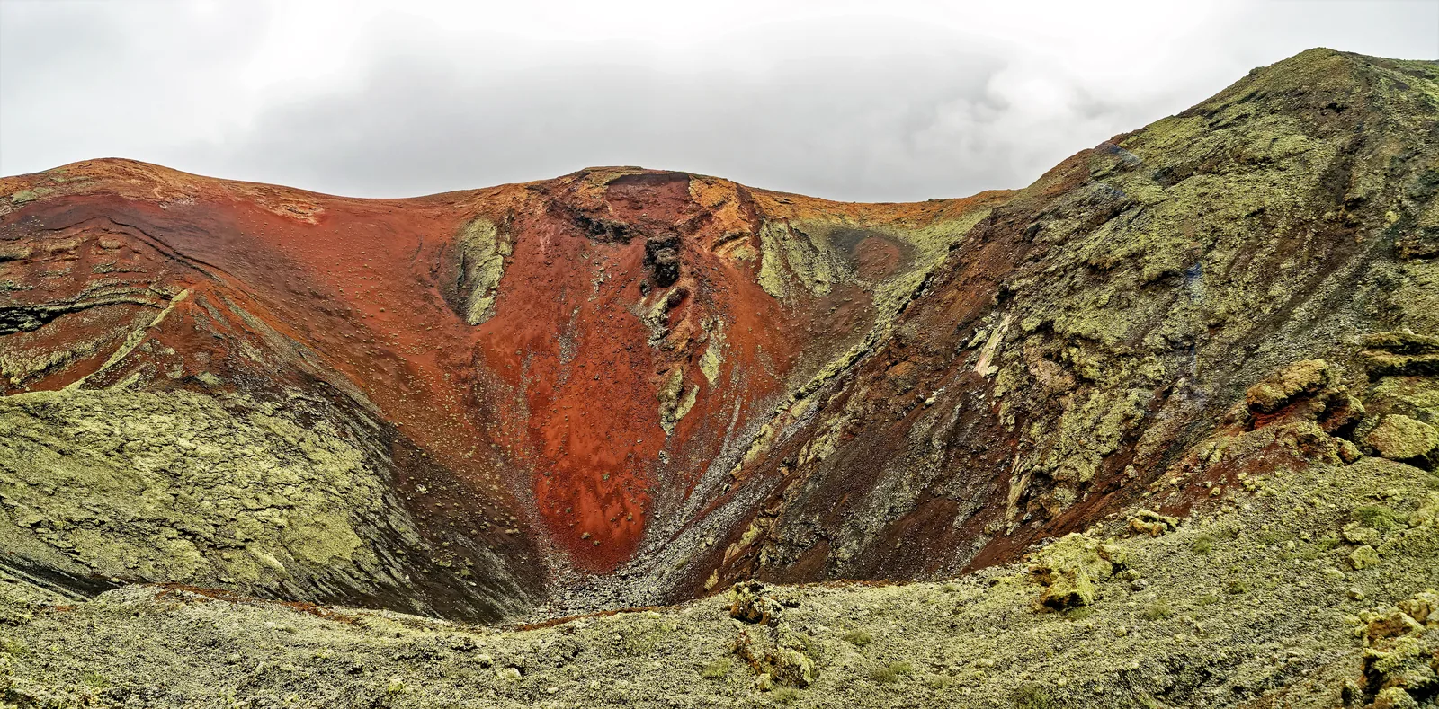
A crater coloured red and green in the core of the Montañas del Fuego in Timanfaya National Park, seen from the bus route
Photo: Holger Uwe Schmitt ↗ · CC BY-SA 4.0 ↗

Nature · Only with the Insólita Experience

Montaña Rajada

The operator takes the small groups of the Insólita Experience up this volcano; on the regular bus route you only see it from the hairpin turn.

The only way to get out in the core of the Montañas del Fuego.

Price
€59.90, children up to 6 free
Departures
Mondays, Wednesdays, Saturdays at 8:45
Duration
120 minutes, small group
Included
bus route with guide, climb, Refugio, tasting

Open in OpenStreetMap ↗Location source ↗

28.99494, -13.77370

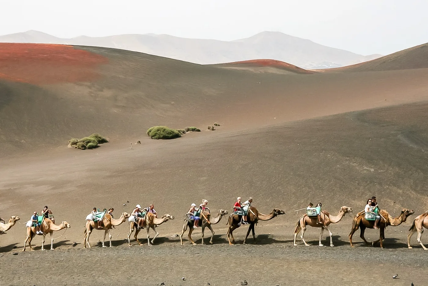
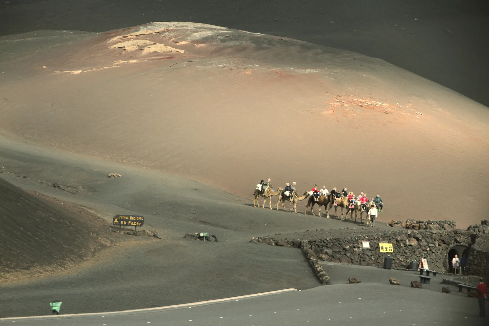
A camel caravan with visitors walking in Timanfaya National Park along the black ash slope of Montaña de Timanfaya
Photo: Gerd Eichmann ↗ · CC BY 4.0 ↗

Nature · Camel station, daily 9:00 to 15:00

Echadero de los Camellos

On the LZ-67 at km 16: a short ride on the south slope of Montaña de Timanfaya without reservation, a cafeteria, a shop and a small museum that is closed on Sundays. The service is run by the municipality of Yaiza.

Twenty minutes on the south slope of Montaña de Timanfaya, no reservation, run by the municipality of Yaiza.

Hours
rides 9:30 to 15:30; station 9:00 to 15:00
Route
250 m circuit, around 20 minutes
Location
LZ-67 km 16
Information
Municipality of Yaiza, 928 836 220

Open in OpenStreetMap ↗Location source ↗

28.99168, -13.74219

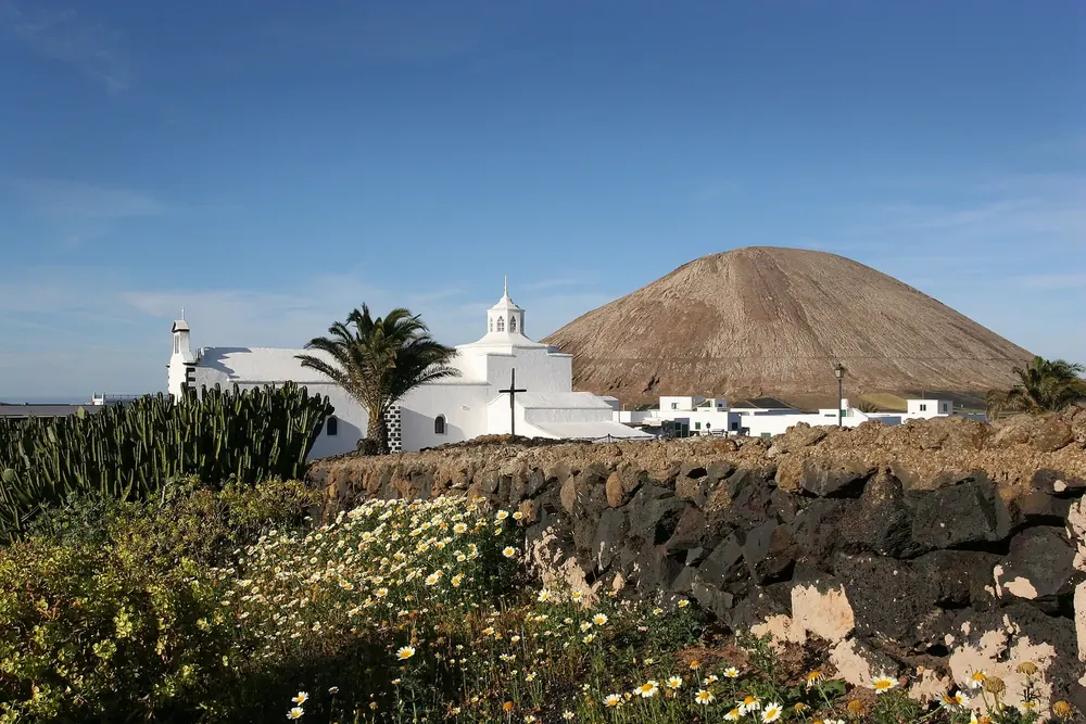
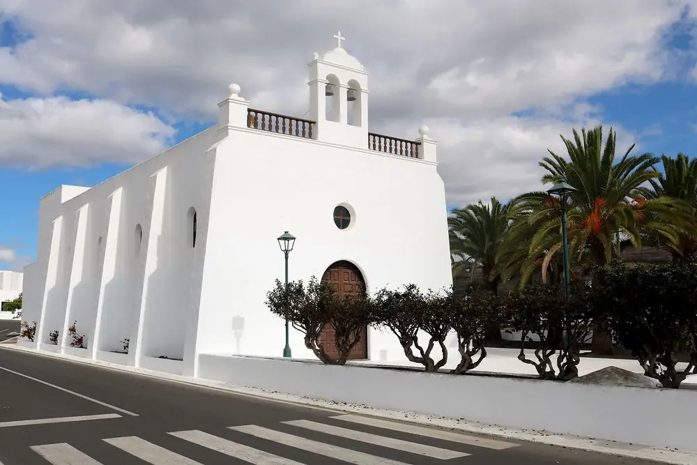
Mancha Blanca: the white church of Nuestra Señora de los Dolores with palm trees in front of a volcanic coneSurroundings
Photo: Marc-Lautenbacher ↗ · CC BY-SA 4.0 ↗

Arrival · Visitor centre, daily 9:00 to 16:00

Mancha Blanca Visitor Centre (Centro de Visitantes de Mancha Blanca)

The park authority's information centre on the LZ-67 at km 9.6, half sunk into the lava field, with 2,293 square metres of exhibition space and outbuildings. Phone 928 118 045. Guided tours only for schools, associations and senior groups.

Open in OpenStreetMap ↗Location source ↗

29.03353, -13.70371

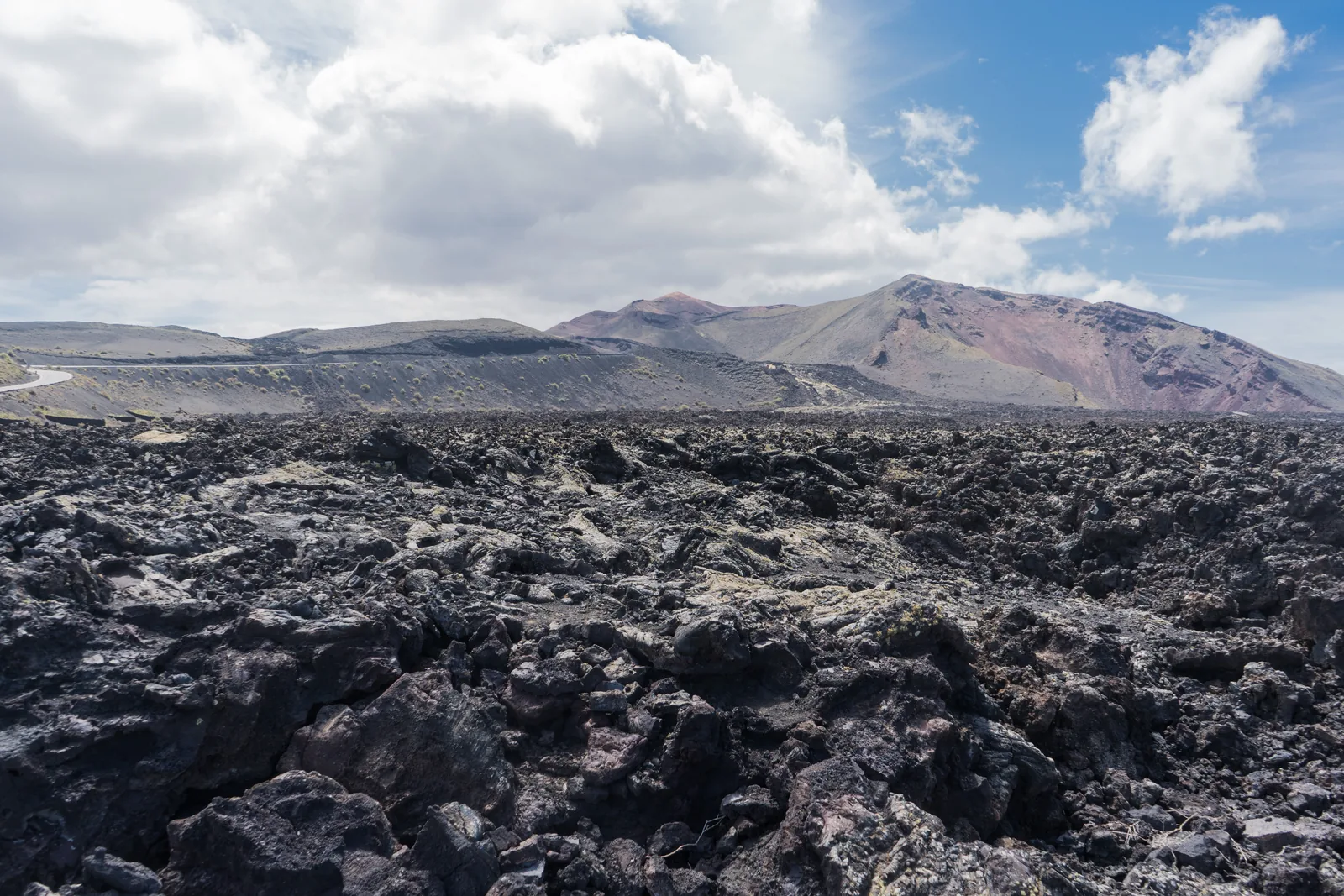
A black aa lava field stretching to the horizon, with the colourful volcanic cones of Timanfaya National Park under cloud behind
Photo: Alexey Komarov ↗ · CC BY-SA 4.0 ↗

Surroundings · Village in Tinajo, stop on bus line 16

Mancha Blanca

The nearest village to the visitor centre. Bus line 16 from Arrecife to La Santa stops here; from here you continue only on foot or by taxi.

The visitor centre in the sea of lava and the only guided walk into the interior.

Visitor centre
daily 9:00 to 16:00, LZ-67 km 9.6
Tremesana
3.5 km (2.2 mi), 3 hours, easy, aged 16+
Meeting point
Plaza de los Remedios, Yaiza, 15 minutes before
Booking
free, max. 8, one month ahead

Open in OpenStreetMap ↗Location source ↗

29.04295, -13.68979

Water · Lava lake in the crater, on the Tremesana route

Montaña Hernández

The park authority names the solidified lava lake in the crater and the meeting of aa and pahoehoe lava as highlights of the walk.

Open in OpenStreetMap ↗Location source ↗

28.98392, -13.79423

Trails · Second volcano on the Tremesana route

Montaña Encantada

According to the park authority, the two lava types also meet here; near the end of the route a lava tube shows lava stalactites.

Open in OpenStreetMap ↗Location source ↗

28.98896, -13.79754

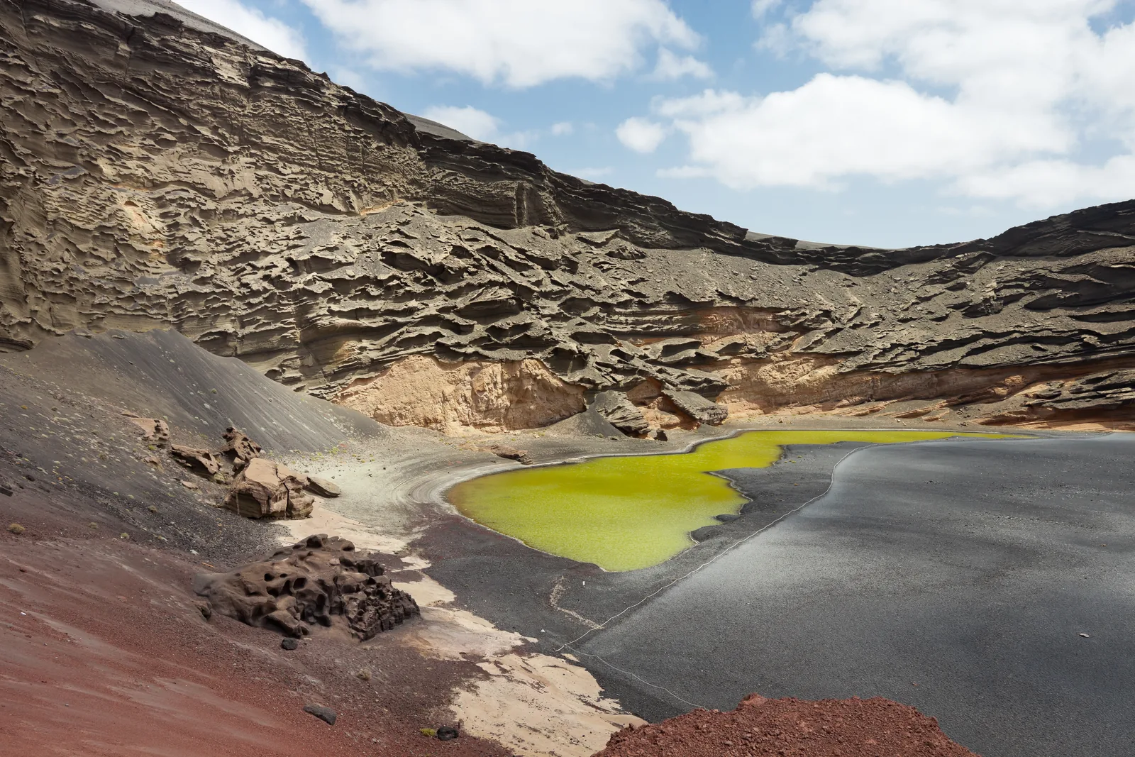
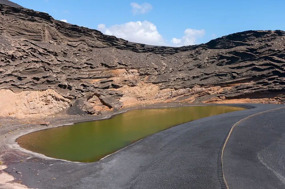
The green lagoon Charco de los Clicos in front of the black beach and the half crater wall of El Golfo
Photo: Luis Miguel Bugallo Sánchez (Lmbuga) ↗ · CC BY-SA 3.0 ↗

Surroundings · Coastal village, start of both coastal routes

El Golfo

Fishing village on the west coast. The guided short coastal route starts at the north car park by the playground; the long coastal path from the north also ends here.

Where the lava of 1730 ran into the sea, the park authority leads walks along the cliffs.

Length
2 km (1.2 mi) according to the park authority, 2.8 (1.7 mi) according to the booking office
Duration
2.5 to 3 hours, moderate
Meeting point
El Golfo north car park, by the playground
Altitude
111 m (364 ft) of ascent

Open in OpenStreetMap ↗Location source ↗

28.98219, -13.83136

Trails · End of the long coastal path inside the park

Punta del Jurado

Here the long coastal path leaves the park and runs on to El Golfo, 9.75 km (6.1 mi) from Playa de la Madera.

Open in OpenStreetMap ↗Location source ↗

28.98948, -13.83376

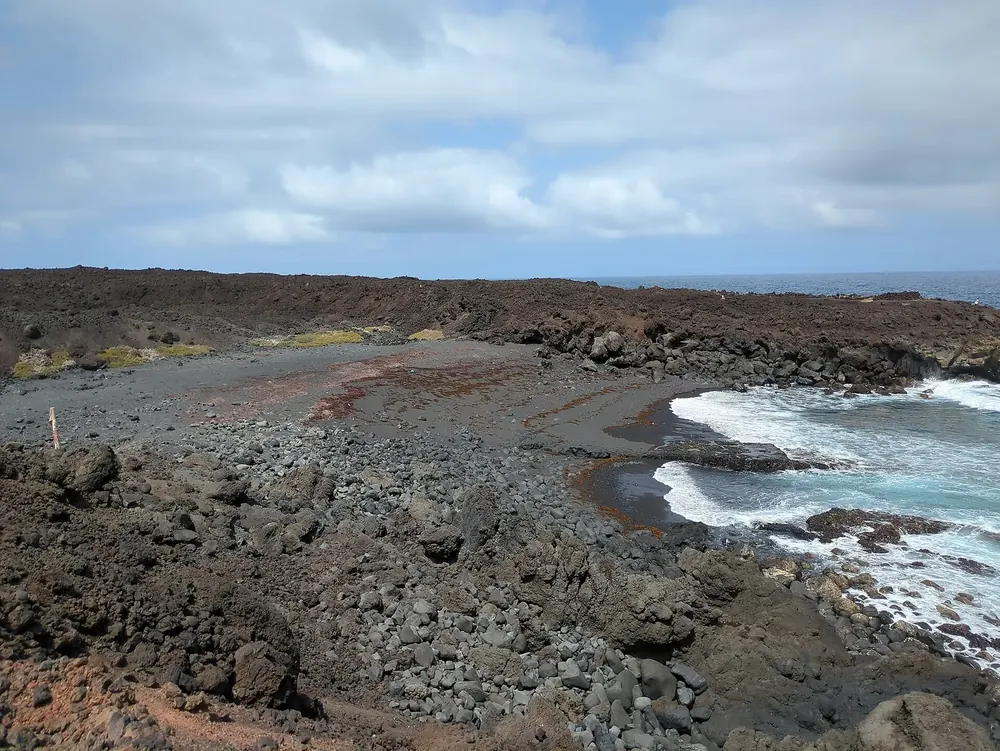
Playa de la Madera: dark lava coast with a small sandy cove and white surf under a cloudy sky
Photo: Fnordson ↗ · CC BY-SA 4.0 ↗

Trails · Northern start of the long coastal path

Playa de la Madera

Starting point of the free, unguided coastal route along the lava coast. The park authority recommends the section from here to Playa del Cochino and back, 9 km (5.6 mi), as a quieter option.

Open in OpenStreetMap ↗Location source ↗

29.06221, -13.77476

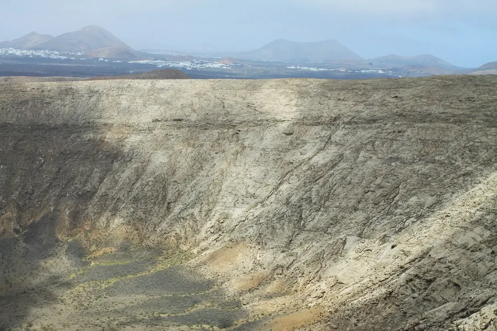
Caldera Blanca: steep, pale inner wall of the tuff ring, with a wide plain and Lanzarote's volcanic cones behind
Photo: Chmee2 ↗ · CC BY-SA 3.0 ↗

Nature · Tuff ring in Los Volcanes Natural Park

Caldera Blanca

The large white crater ring north of the park lies in the neighbouring Los Volcanes Natural Park, outside the national park; the guided hike below names this natural park as its area.

Open in OpenStreetMap ↗Location source ↗

29.03441, -13.73175

Locations verified from the linked original sources and OpenStreetMap. The map shows no trails or park boundaries; markers do not imply that access is permitted.

Map: © OpenStreetMap contributors, OpenMapTiles, OpenFreeMap. Elevation: Terrain Tiles (Mapzen, AWS Open Data); 3DEP, GMTED2010 and SRTM courtesy of the U.S. Geological Survey; EU-DEM (Copernicus, European Union); ETOPO1 (NOAA); ArcticDEM (NSF, DigitalGlobe); Geoscience Australia; Open Data Austria (DGM); Open Government Licence – Canada; INEGI; Land Information New Zealand; Kartverket; Environment Agency (UK).

Park photo: Photo: Holger Uwe Schmitt ↗ · CC BY-SA 4.0 ↗

Loading map …