


Where to stay · Campground
Headquarters Campground
Main area on Route 114 near Alma. This is where you find the year-round visitor centre, sites at every service level and an Ôasis.
Open in OpenStreetMap ↗Location source ↗
45.59875, -64.95114

10 places with verified coordinates · 6 with photo
Private tour from Saint John · cruise port · Viator
From Saint John: private tour to Hopewell Rocks and Fundy National Park ↗Pickup at the cruise terminal in Saint John: a representative waits outside the terminal door, a few metres from the gangway.
Day tour from Moncton · small group · GetYourGuide
From Moncton: Hopewell Rocks at low and high tide, Cape Enrage and Fundy National Park ↗1 review on GetYourGuidefrom €199.53as of 4 Oct
Meeting point at the Hyatt Place in downtown Moncton; be there 15 minutes before the start to check in, latecomers are not waited for. Return to downtown Moncton.Park authority programme · dark sky preserve · Fundy park authority (Parks Canada)
Starry evenings and campfires with the park authority in Fundy National Park ↗Start on the map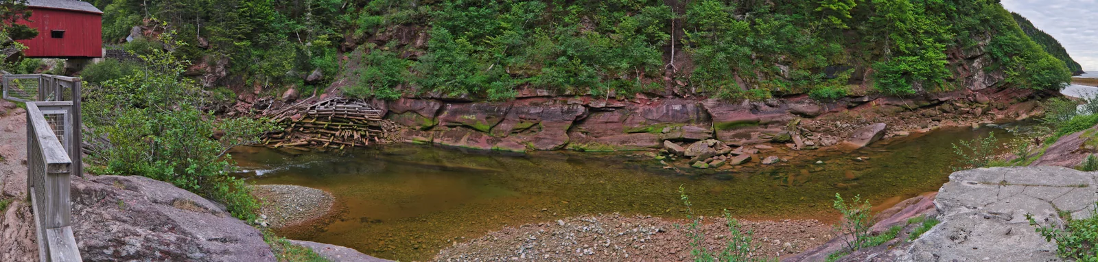
Park authority programme · at low tide · Fundy park authority (Parks Canada)
Walk the ocean floor at low tide: beach walks with the park authority ↗Meeting point at the respective beach parking lot: Alma Beach, Cannontown Beach (next to the saltwater pool) or Herring Cove Beach.Ad · partner links: we may earn a commission if you book – at no extra cost to you. Thank you for supporting the atlas. Offer details checked 2 Oct 2026; dates and prices with the provider.
Where to stay · Campground
Main area on Route 114 near Alma. This is where you find the year-round visitor centre, sites at every service level and an Ôasis.
Open in OpenStreetMap ↗Location source ↗
45.59875, -64.95114
Surroundings · Community outside the park
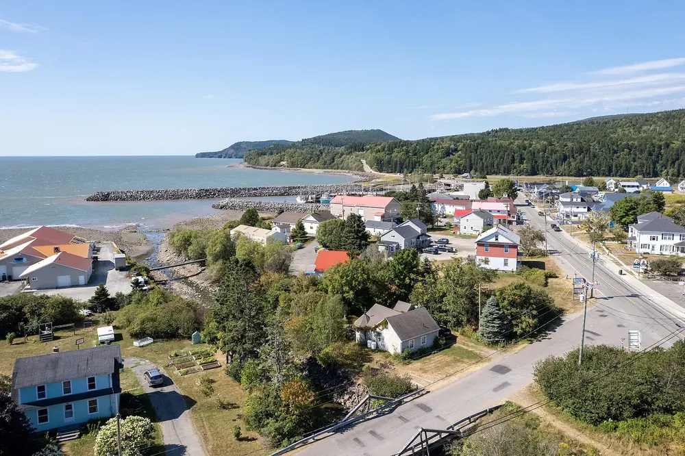
Fishing village right on the park boundary, outside the park. At low tide the boats stand upright on the harbour bottom.
Open in OpenStreetMap ↗Location source ↗
45.60305, -64.94383
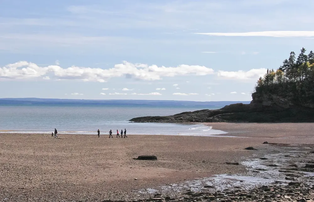
Water · Cove
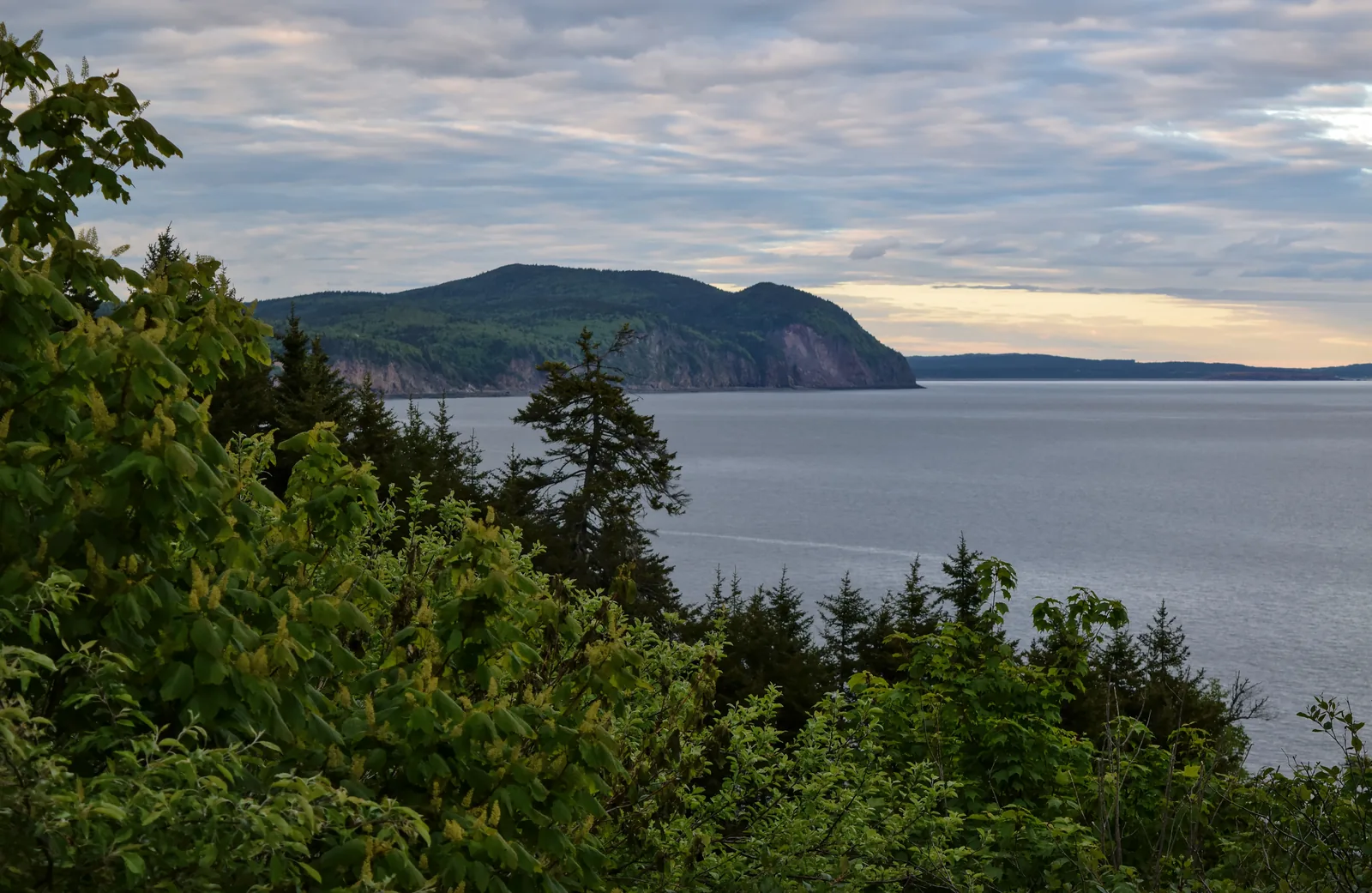
Cove on the park coast with beach access and a view across the Bay of Fundy to the coast of Nova Scotia.
Guided from here
Park authority programmes, no partner links. Dates on their website.
Open in OpenStreetMap ↗Location source ↗
45.57721, -64.96627
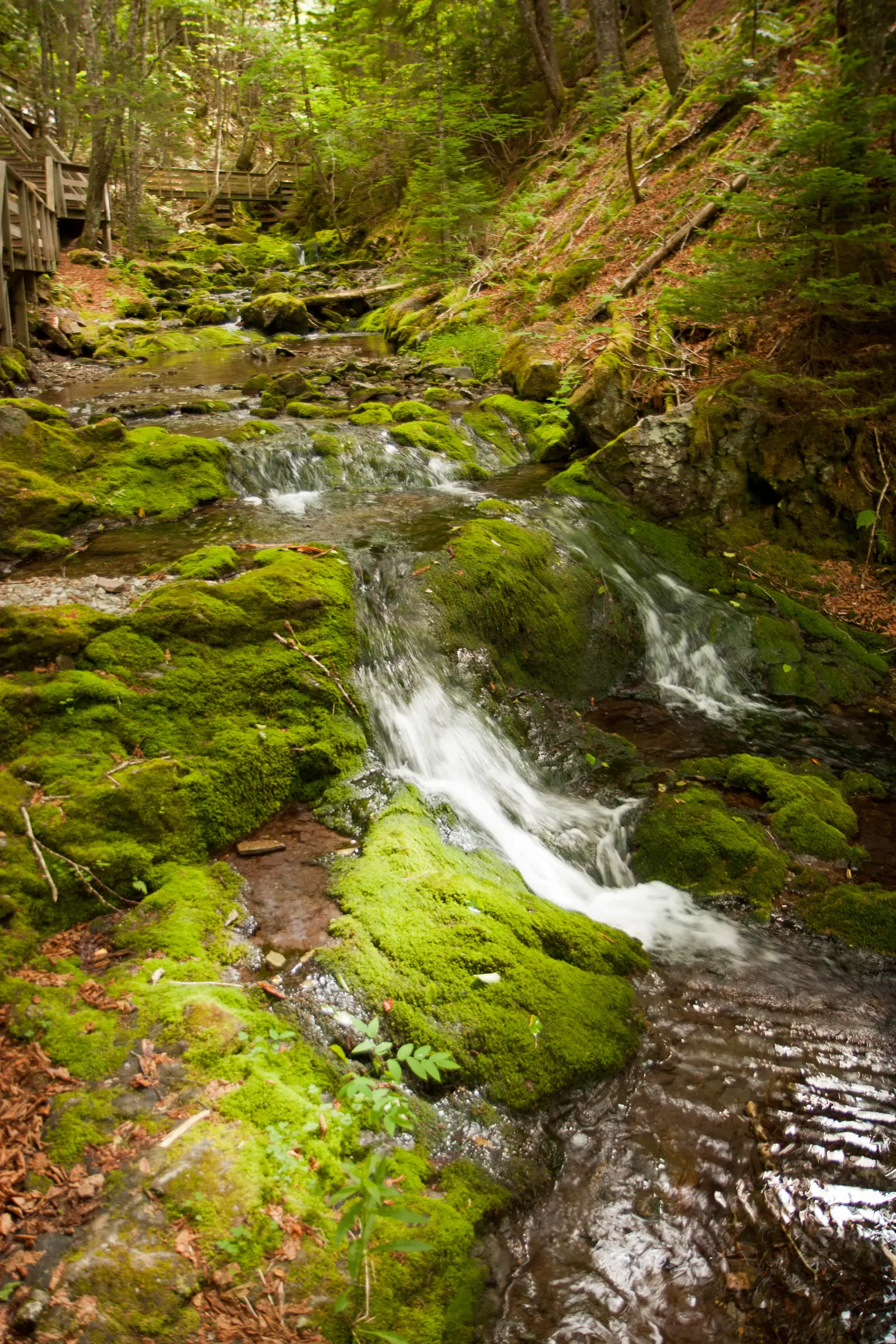
Water · Waterfall
The best known of the park’s more than 25 waterfalls, reached by a short loop with boardwalks and stairs.
The best known of the more than 25 waterfalls: a cascade over moss-covered rock, reached by boardwalks and stairs.
Open in OpenStreetMap ↗Location source ↗
45.58539, -64.97262
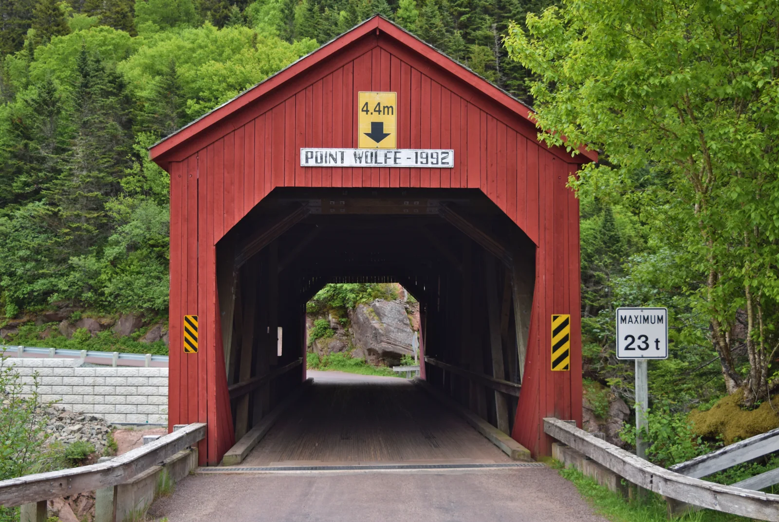
Water · Coastal area
Coastal area and campground in the west of the park, reached via the covered bridge, which is currently closed until December 2026 at the latest estimate.
The western part of the park, reached via a red covered wooden bridge, which is currently closed.
Open in OpenStreetMap ↗Location source ↗
45.54210, -65.02048
Where to stay · Campground
Large campground on Route 114 inland, with sites from unserviced to fully serviced.
Open in OpenStreetMap ↗Location source ↗
45.60602, -64.98234
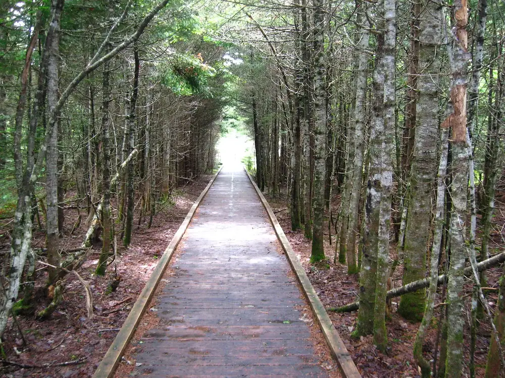
Water · Bog
Bog on the high plateau, reached by a boardwalk; the counterpart to the tidal coast.
Open in OpenStreetMap ↗Location source ↗
45.61919, -65.05917
Water · Lake
One of the two lakes for paddling and brook trout fishing. Permits are available at the visitor centres.
Open in OpenStreetMap ↗Location source ↗
45.62990, -65.07794
Water · Lake
The second lake, in the north-west of the park. The Wolfe Lake visitor centre opens from 14 May to 12 October.
Open in OpenStreetMap ↗Location source ↗
45.65688, -65.14002
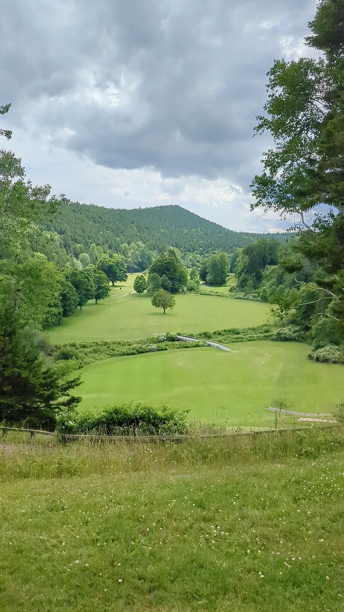
Nature · Golf course
Nine-hole course on Point Wolfe Road, designed by Stanley Thompson.
Open in OpenStreetMap ↗Location source ↗
45.59092, -64.96240
Loading map …