National Parks Atlas
MapPDF

01 · Canada · Nova Scotia · Mersey River system

Kejimkujik National Park

The only national park in Canada that is also a national historic site, because of 4,000 years of Mi’kmaw history in the water and in the stone.

Photo: Z3lvs ↗ · CC0 ↗

Kejimkujik at a glance · PDF, 2 pages

Kejimkujik National Park: landscape and origins

Kejimkujik is a park made of water: shallow, bog-brown lakes linked by slow rivers and portages, exactly the network the Mi’kmaq have travelled for thousands of years.

The shape of the landscape dates from the last Ice Age, which began 100,000 to 80,000 years ago. The ice scraped away the soils and scooped the lake basins out of soft slate; it left behind drumlins, eskers, boulders and shallow lakes. The drumlins all point south-east, the direction the ice came from. The bedrock is poor: Precambrian to Ordovician quartzite and slate, plus Devonian granite.

About 12 to 15 per cent of the park is water: 46 lakes and ponds and over 30 streams and rivers, almost all in the watershed of the Mersey River.

The forest is Acadian mixed forest, a transition zone between south and north. Two hundred years of forestry changed it; only the establishment of the park in 1974 ended logging. What remains are islands of old growth: hemlock stands with 350-year-old trees and broadleaf forests on the drumlins, which you can see at Peter Point and at Portage E. Under the hemlocks, because of the dense canopy, almost nothing grows except mosses, and rare orchids.

In 1995 the park was also declared a national historic site, the first national park in Canada with this dual role. Two plaques, one in English and French and one in Mi’kmaw, were unveiled on 1 October 2000, Treaty Day. The monument was designed by Jean Augustine-McIsaac; its shape follows the pointed hat of Mi’kmaw women, which appears again and again in the park’s petroglyphs.

Ecosystems and habitats ↗

The park in numbers

National park
since 1974
Coastal part
since 1988
Historic site
since 1995, the first national park
Plaques
1 October 2000, Treaty Day
Lakes and ponds
46, plus over 30 rivers and streams
Share of water
12 to 15 per cent
Only by canoe or on foot
over 80 per cent of the area
Backcountry sites
46 on 17 lakes
Frontcountry trails
13, from 1 to 6.3 km
Petroglyphs
over 500
Archaeological sites
over 60
Red chairs
7 pairs

Visiting Kejimkujik: overview and planning

01

Park and historic site

Since 1995 Kejimkujik has also been a national historic site, the first national park in Canada with this dual role. The reason is the cultural landscape that bears witness to 4,000 years of Mi’kmaw settlement: petroglyphs, campsites, fish weirs, hunting grounds, trails and burial sites. The coastal part is explicitly not part of the historic designation.

National historic site ↗

02

Inland and coast

The main park lies at Maitland Bridge on Route 8, about 167 kilometres (104 mi) from Halifax. The coastal part, Kejimkujik Seaside, lies at Port Joli. Depending on the route the two are 93 to 100 kilometres apart, about an hour and a quarter’s drive.

Getting to both parts ↗

03

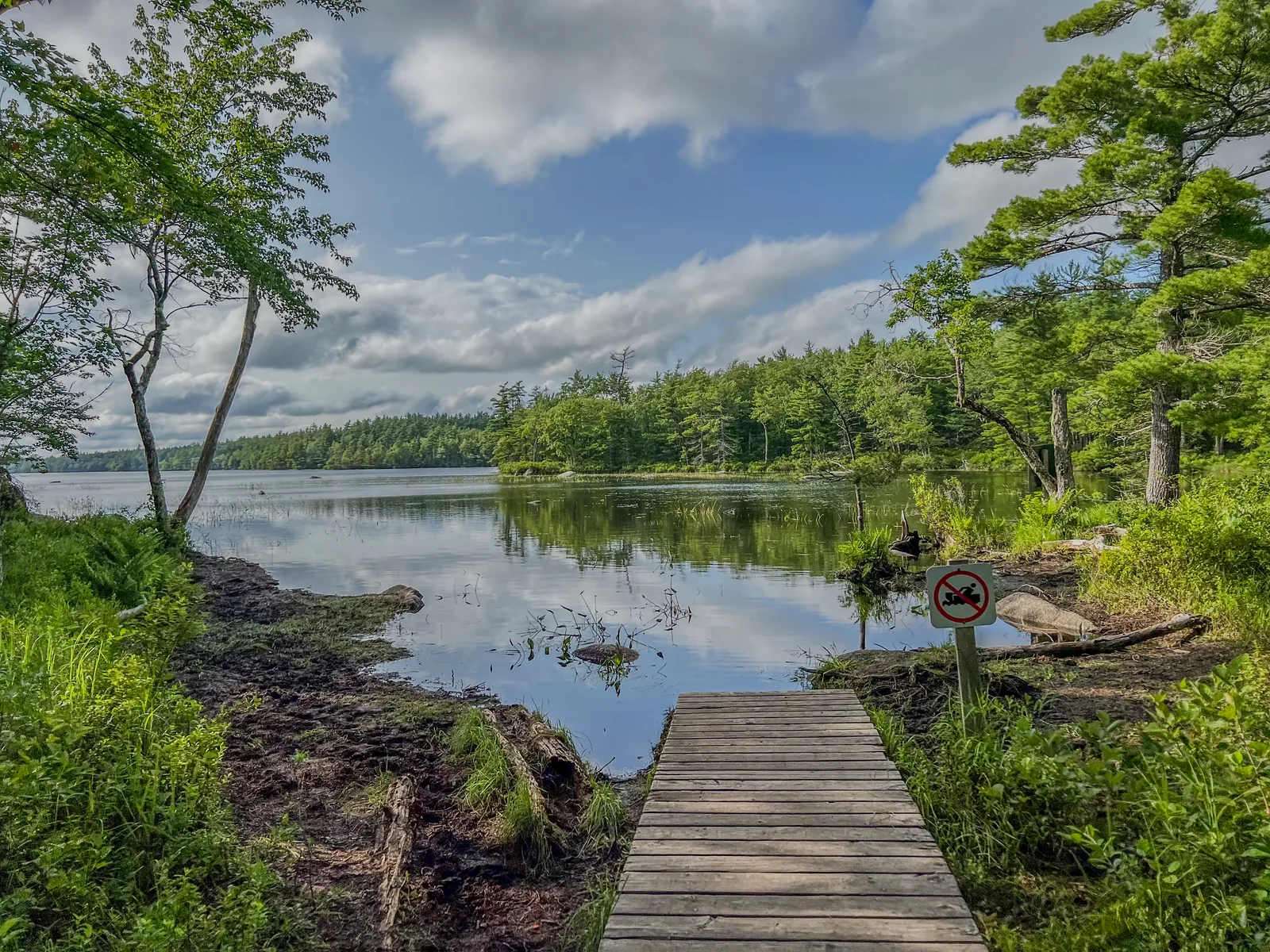
No more motorboats

Since 2026 the operation of motorised watercraft has been prohibited in the park, except with written permission from the superintendent and for the park administration itself.

Park authority: Kejimkujik ↗

04

Open all year, season from May to October

The park is accessible all year. Full services in July and August, reduced services in May, June, September and October; from November to mid-May only selected services. The visitor centre and camping operate from the Victoria Day weekend to 31 October.

Hours of operation 2026 ↗

02 · Places

Map and places in the park

Fourteen points in both parts of the park.

Photo: Z3lvs ↗ · CC0 ↗

Place in the park

Kejimkujik Lake

The large lake at the centre, with islands and bays, and since 2026 without a single motorboat.

Coordinates
44.365717, −65.231255
Motorboats
banned since 2026
Navigation buoys
no longer exist
Needed
map, compass, GPS device
Wind
strongest around midday
Shores
petroglyphs on slate slabs, restricted

Canoe, kayak and SUP ↗

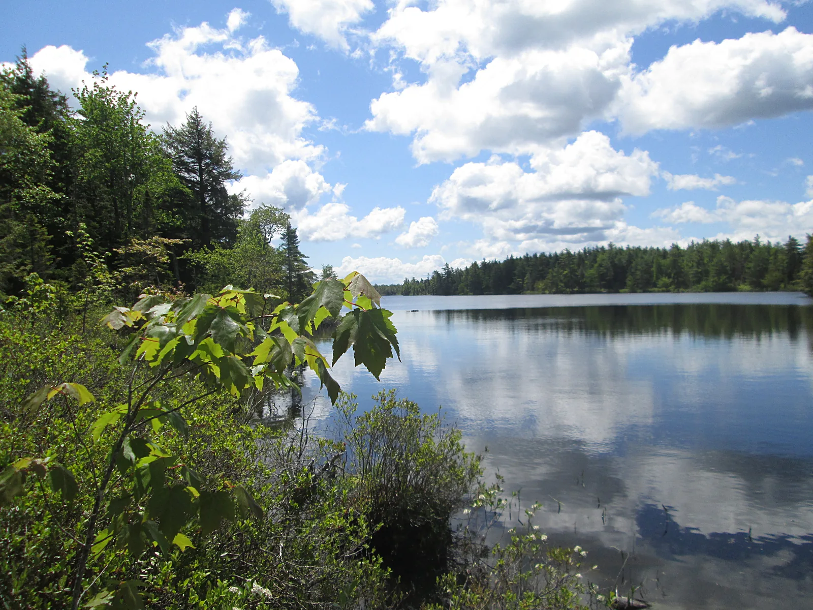
Still, dark water of the Mersey River in Kejimkujik National Park reflecting cumulus clouds, broadleaf and conifer trees on the bank
Photo: Larry from Charlottetown, PEI, Canada ↗ · CC BY 2.0 ↗

Place in the park

The Mersey River

The river that holds the whole system together, with water the colour of strong tea.

Watershed
the largest in Nova Scotia
Colour
tannins from the bogs
Minerals
hardly any, high sensitivity to acid
Fish
yellow and white perch, brown bullhead, brook trout
Eel weirs
used for thousands of years, into the 20th century
Day trip
1 to 2 hours from Jake’s Landing

Ecosystems and habitats ↗

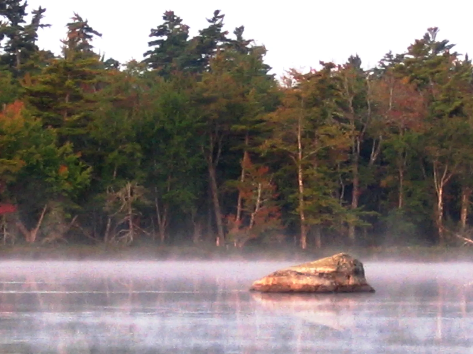
Morning mist over a still lake in Kejimkujik National Park, a pale boulder rising from the water, autumn forest behind
Photo: Canoehead at English Wikipedia ↗ · Public domain ↗

Place in the park

The backcountry

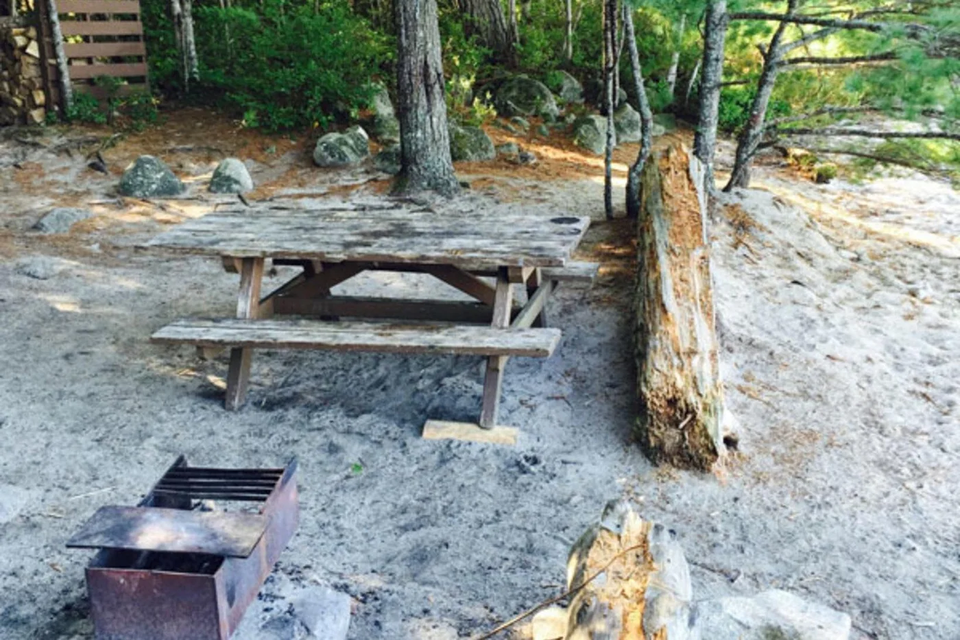
46 campsites on 17 lakes, reachable only by paddle or on foot, and only with a reservation.

Share
over 80 per cent of the park
Sites
46 on 17 lakes, plus 2 cabins
Season
Victoria Day weekend to the end of October
Maximum stay
2 nights per site, 21 nights in total
People
6 per site, 10 at three sites
Spontaneous trips
not possible; everything requires a reservation

Backcountry camping ↗

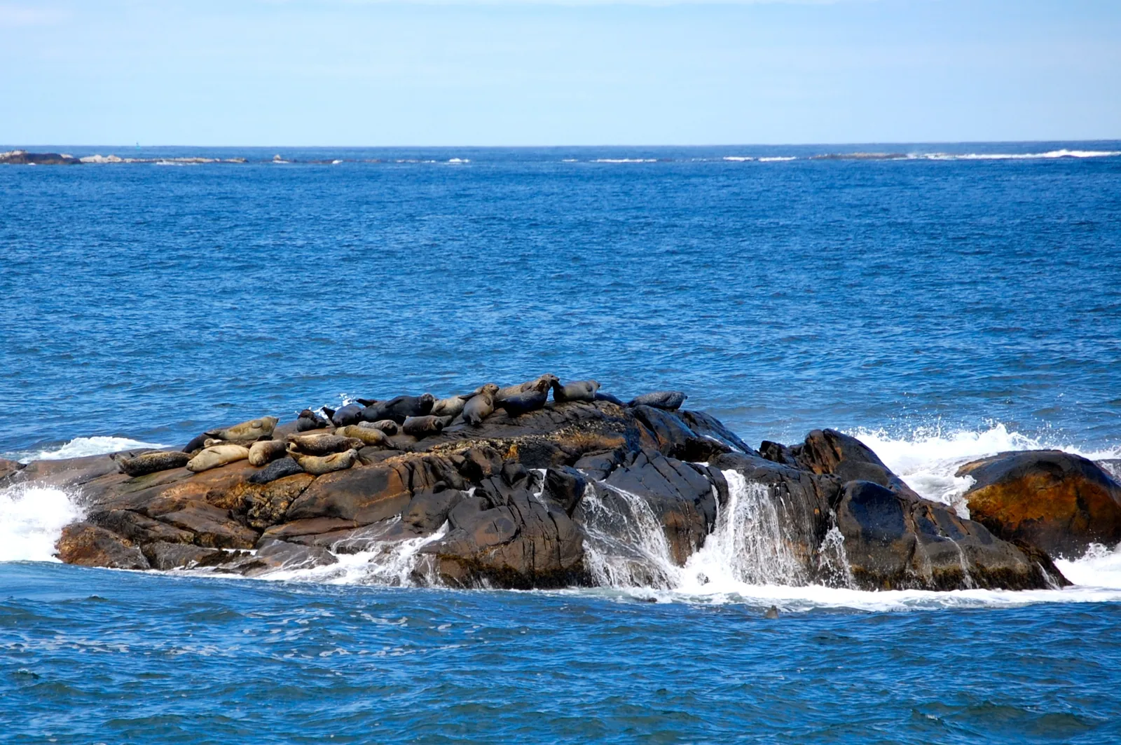
A dozen harbour seals lie on a surf-washed rock in the blue Atlantic in Kejimkujik National Park
Photo: Sam Blackman ↗ · CC BY 2.0 ↗

Place in the park

Harbour seals off Harbour Rocks

Harbour seals lie on the offshore rocks, visible from the trail without disturbing them.

Spot
Harbour Rocks Trail
Coordinates
43.833659, −64.832552
Red chairs
the only pair by the sea
Further out
eiders and other seabirds
On the beach
nesting site of the piping plover
Rule
keep your distance, stay on the trails

By the sea: trails and views ↗

Map

14 places on the map

Fourteen points in both parts of the park.

Open map3D terrain · details and photos for every place
  • Viewpoints1
  • Mountains & rock1
  • Water6
  • Arrival3
  • Where to stay1
  • Nature2

03 · Out and about

Things to do: canoe routes, hikes and petroglyphs

Paddling here is not one activity among many, but the way in.

Photo: Moksapath ↗ · CC BY-SA 4.0 ↗

“Kejimkujik is the only dark sky preserve in Nova Scotia. The eye needs twenty to thirty minutes to adjust to the dark, and every bright flash of light resets that time. That is why the park authority asks for red light at night programmes.”

Kejimkujik National Park · Evening over the forest

Things to do: canoe routes, hikes and petroglyphs

Paddling

The park authority considers Kejimkujik one of the best paddling areas in Atlantic Canada. For day trips there are four described routes: from Jake’s Landing one to two hours on the Mersey River, from Eel Weir two to four hours to George Lake, from Big Dam Lake two to three hours and from the visitor centre an hour and a half. Equipment is available from Whynot Adventure at Jake’s Landing.

Canoe, kayak and SUP ↗

Hiking

Thirteen frontcountry trails from one to 6.3 kilometres, most of them easy. There are also two backcountry trails: the Channel Lake Trail as a 24-kilometre (15 mi) loop and the Liberty Lake Trail at 56 kilometres (35 mi) one way, both difficult. At the coastal part two trails lead to the sea.

Trails and routes ↗

Petroglyphs

More than 500 individual rock carvings lie on smooth slate slabs along the lakeshores, one of the largest collections in eastern North America. They are in a restricted area and can only be seen on a guided tour; places are limited.

The petroglyphs ↗

Night sky

Kejimkujik is the only dark sky preserve in Nova Scotia. For an evening on your own you can rent a kit, and in summer there are guided programmes and an annual Dark Sky Weekend with the Royal Astronomical Society of Canada. At night please only use red light.

Dark sky preserve ↗

Red chairs

Seven pairs await you: six in the main park (park entrance, Mill Falls, Nancy Cove picnic area, Merrymakedge, Peter Point and Portage N at Poison Ivy Falls) and one by the sea at Harbour Rocks.

The red chairs ↗

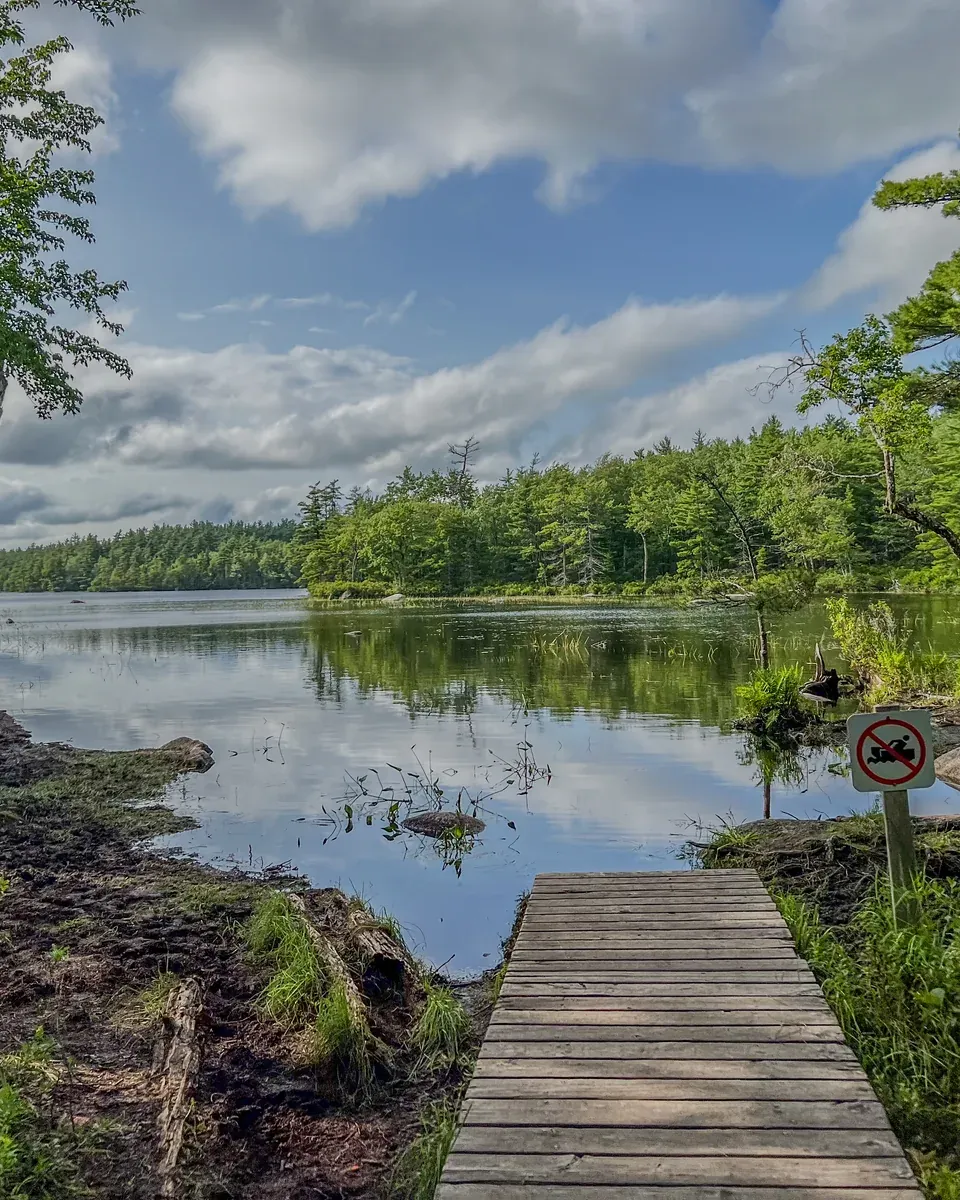
A wooden dock leads to the shore of a still forest lake in Kejimkujik National Park, conifer and broadleaf forest all around under a cloudy sky

Whynot Adventure Outfitters · Viator

Two-day canoe trip into the Kejimkujik backcountry

Guided canoe trip with one night by a lake: meet at Whynot Adventure at Jake's Landing, lunch, paddle to the campsite, dinner by the campfire, sunset and the starry sky over the lake in the evening; on the second day breakfast, exploring the lake and back at around 14:00. No experience needed, hardly any portaging.

  • 2 days, 1 night
  • Canoe and camping gear
  • All meals
  • Park admission not included

Departure Whynot Adventure at Jake's Landing; arrive between 11:30 and 12:30.

According to the operator, especially designed for families with children under ten. Not included: park fees, tips, pillows and your own clothing. Runs in any weather. Free cancellation up to six days in advance, then on a sliding scale. Guide in English.

View tour ↗Ad · partner link · checked 2 Oct 2026

More checked toursAd · partner link · checked 3 Oct 2026

Landscape image, not a provider photo · Photo: Z3lvs ↗ · CC0 ↗

Offer photo: Four-day canoe trip to the southern lakes

Whynot Adventure Outfitters · Viator

Four-day canoe trip to the southern lakes

Guided canoe trip with three nights in the national park’s backcountry: across Kejimkujik Lake and over portages to small and medium-sized lakes in the south, nights at remote campsites, meals by the campfire. On the fourth day back across Kejimkujik Lake, arriving at around 14:00.

  • 4 days, 3 nights
  • With portages
  • Canoe and camping gear
  • All meals

Departure Whynot Adventure at Jake's Landing; arrive between 11:30 and 12:30.

According to the operator, for anyone looking for longer paddling and portage stretches; good fitness required. Admission fees are not included according to the inclusions list. Runs in any weather. Free cancellation up to six days in advance, then on a sliding scale. Guide in English.

View tour ↗Ad · partner link · checked 2 Oct 2026

Provider's product photo · Viator

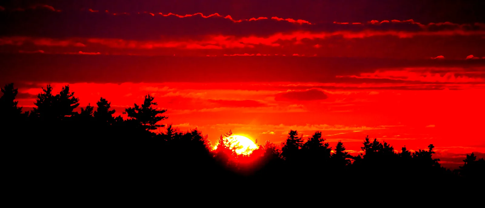
Deep red glowing evening sky in Kejimkujik National Park above a black silhouette of trees, the sun just above the horizon

Kejimkujik park authority (Parks Canada) · Park authority programme · dark sky preserve

Park authority stargazing evenings in the Kejimkujik dark sky preserve

Since 2010 Kejimkujik has been a Dark-Sky Preserve of the Royal Astronomical Society of Canada, and in summer the park authority leads evening programmes out under this sky. At the Sky Circle in Jeremy's Bay Campground, Mi'kmaw interpreters on a round wooden stage tell how the Blanding’s turtle became the Spirit Road Turtle, Skɨte'kmujuawti Mikjikj, and got the stars on its shell, along with constellations and the park’s species. On Thursdays you paddle a big canoe across Kejimkujik Lake with two guides under the starry sky reflected in the lake; on Mondays a night walk with stories leads through the dark forest on the Rogers Brook Trail. Once a year the park authority and the astronomical society host a Dark Sky Weekend.

  • July to September, evenings
  • Sky Circle, Jake's Landing, Rogers Brook Trail
  • English, canoe also French
  • Dates on the park authority’s website

Meeting point Spirit Road Turtle at the Sky Circle in Jeremy's Bay Campground (parking lot P1); dark sky paddle at the Parks Canada boathouse at Jake's Landing; night hike at the start of the Rogers Brook Trail.

According to the 2026 programme pages: Spirit Road Turtle on Friday evenings in August from 22:00 to 23:00 and in September from 21:00 to 22:00, included with park admission, no registration, all ages; cancelled if it rains. Dark sky paddle on Thursdays in July and August from 21:00 to 23:00 and night hike on Mondays in July and August from 22:00 to 23:00, both with registration at the visitor centre or by phone and with their own fee, not recommended for children under 12, in any weather, cancelled only for storms or lightning. Bring only red light. The 2026 programmes are over, and the park authority has not yet named dates for 2027; registration opens each year in mid-May. From June to October the visitor centre rents dark sky kits with binoculars and a star chart for a fee. The Parkbus day trip is back by evening; to take part, stay in the park.

Park authority page ↗Park authority programme · no partner link · checked 2 Oct 2026

Landscape image, not a provider photo · Photo: Moksapath ↗ · CC BY-SA 4.0 ↗

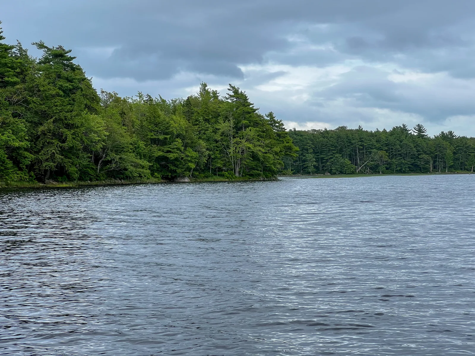
Dark, slightly rippled lake water in Kejimkujik National Park in front of a densely forested shore under a grey cloudy sky

Kejimkujik park authority (Parks Canada) · Park authority programme · petroglyphs

To the petroglyphs on Kejimkujik Lake: park authority guided tour

On the shore of Kejimkujik Lake, generations of Mi'kmaq carved images into the smooth slate, one of the largest collections of petroglyphs in North America. The sites are in a restricted area; the only way to get there is on a park authority guided tour. From the Mi'kmaw cultural monument at Merrymakedge, an interpreter leads you seven minutes along a forest path to the shore. There you take off your shoes before stepping onto the rocks and lean down to the carvings while the guide explains what they reveal about the history of the region.

  • 60 to 90 minutes
  • maximum 20 people
  • English and French
  • Dates on the park authority’s website

Meeting point Mi'kmaw Cultural Landscape Monument at Merrymakedge parking lot P1; from there about 500 metres on foot to the shore.

According to the park authority, the public tours are included with park admission, but only with registration at the visitor centre or by phone; they are usually fully booked, so reserve early. Cancellations up to 24 hours in advance. The tour is cancelled in rain (wet, slippery rocks), and the petroglyphs may be covered when water levels are high. Not recommended for children under 12, under 17 only with adults; no pets. There are no washrooms during the tour. In 2026 there were dates almost daily in August, and only individual dates in September and October, the last on 10 October. Mi'kmaq who would like to visit the petroglyphs contact the park directly.

Park authority page ↗Park authority programme · no partner link · checked 2 Oct 2026

Landscape image, not a provider photo · Photo: Z3lvs ↗ · CC0 ↗

Ad · we may earn a commission if you book through this partner link – at no extra cost to you. Thank you for supporting the atlas. Offer details checked 2 Oct 2026. See official ticket information.

Nature and history of Kejimkujik

Dark water

The park has 46 lakes and ponds and more than 30 streams and rivers, most of them in the watershed of the Mersey River, the largest in Nova Scotia. The rock releases hardly any minerals; the lakes are nutrient-poor and sensitive to acid. The brown colour comes from tannins from the bogs.

Ecosystems and habitats ↗

Old forest

Kejimkujik lies in the Acadian forest, the transition between southern broadleaf and northern coniferous forest. Logging has been banned since the park was established in 1974. Three quarters of the forest is young; remnants of old hemlock and broadleaf stands are rare: in all of Nova Scotia less than one per cent of the forests are over a hundred years old.

Ecosystems and habitats ↗

A biodiversity hotspot

The Southwest Nova Biosphere Region, to which Kejimkujik belongs, is home to more than three quarters of Nova Scotia’s listed species at risk. In the park, the Blanding’s turtle, piping plover, American marten and mainland moose are among those listed as endangered.

Species at risk ↗

Petroglyphs and 4,000 years

The earliest traces in the area go back 3,000 to 4,000 years, and up to 6,000 years on the Mersey River further south. More than 60 sites are known. More than 500 rock carvings tell of life before and after contact with Europeans; over 60 of them show the pointed hat of Mi’kmaw women.

Mi’kmaw history ↗

The coastal part

Kejimkujik Seaside was added in 1988 to represent the coastal landforms of the Atlantic Coast Uplands natural region. It has coastal heath, bogs with boulders, one of the last undisturbed nesting beaches of the piping plover and rocks where harbour seals haul out.

Ecosystems and habitats ↗

04 · Before you go

Park film and places nearby

Photo: Z3lvs ↗ · CC0 ↗

Film by the park authority

Explore Kejimkujik, Where Memories Abound

A little over four and a half minutes from Parks Canada, from March 2026: a tour of the park from the canoe routes and trails to the night sky. In English; there is also a French version.

Source: Parks Canada · View channel ↗

Around the park

The coastal part as a day trip

Kejimkujik Seaside is a day-use area only, with no admission fee. Overnight stays are next door in Thomas Raddall Provincial Park. Half a day to a full day is enough for the trails and the beach.

Kejimkujik Seaside ↗

Parks Canada historic sites

Nearby are Fort Anne in Annapolis Royal, Canada’s first administered national historic site, the Melanson Settlement and Port-Royal with its reconstructed Habitation.

Park authority: Kejimkujik ↗

Neighbouring communities

Caledonia and Maitland Bridge lie right on Route 8, Liverpool on the coast. From there it is 66 kilometres to the main park.

Getting to both parts ↗

Passes for Mi’kmaq

Mi’kmaq from Nova Scotia receive their own passes for the park; the park authority has a page of its own on this. If you are Mi’kmaw and would like to see the petroglyphs, contact the park directly.

Passes for Mi’kmaq from Nova Scotia ↗

Field book · Kejimkujik National Park

checked 20 Sep 2026

Kejimkujik at a glance · PDF, 2 pages ↓

00My visit

Nothing saved yet. Every place card has a pin, and so does every place on the Map. What you save collects here, with days, notes and a preview you can share.

01Best time to visit Kejimkujik

The season is short; the park itself is always open.

Summer

The visitor centre is open daily from 8:30 to 16:30 from 15 May to 31 October 2026. Full services are offered in July and August: guided programmes run, the café opens daily and the shop has long hours.

Hours of operation 2026 ↗

Camping from May to October

Campgrounds and roofed accommodation can be booked from the Victoria Day weekend to 30 October. From November to the Victoria Day weekend camping is not allowed anywhere in the park.

Backcountry camping ↗

High season and shoulder season

In 2026 the high season covers 15 to 18 May, 26 June to 8 September and 9 to 12 October. In between and afterwards the cheaper shoulder-season prices apply.

Parks Canada: fees ↗

Fishing

The fishing season runs from 1 April to 31 August. A permit is required.

Hours of operation 2026 ↗

Winter

From November to mid-May the park stays open for hiking, cycling, snowshoeing, cross-country skiing, picnicking, geocaching and stargazing, depending on the weather and with selected services.

Winter and spring ↗

Climate through the year

Weather and climate in Kejimkujik National Park

Best months by the climate data: June to September. Average daytime highs of 20 to 24 °C, lows of 10 to 14 °C, 78 to 96 mm of precipitation a month. The wettest month is December (133 mm), the driest July (78 mm).

Climate chart in Kejimkujik National ParkAverage daily highs from −1 °C to 24 °C, lows from −9 °C to 14 °C; monthly precipitation from 78 mm to 133 mm.
All monthly values as a table
Monthly averages 2001–2020, NASA POWER model
MonthHigh °CLow °CPrecipitation mm
January−1.4−9.297
February−0.8−8.793
March3.2−5.192
April9.6−0.393
May15.55.094
June20.29.996
July24.013.978
August23.613.683
September19.910.184
October13.75.1118
November7.70.1119
December2.2−5.0133
Year1,180

Modelled values, not a weather station: NASA POWER (MERRA-2) for a grid cell of about 55 × 50 km around the map point Peter Point (44.38° N, 65.21° W), with an average cell elevation of about 130 m. Averages for 2001–2020. Higher ground and valleys can differ markedly.

Source: NASA POWER, climatology 2001–2020 ↗ · retrieved 3 Oct 2026

02How to get to Kejimkujik: roads, bus and parking

Two destinations, two approaches.

To the main park

From Halifax, 167 kilometres (104 mi) via Highway 103, exit 13 at Bridgewater, then Highways 325 and 208 and Route 8 through Caledonia, about two hours. From the Annapolis Valley it is 60 kilometres and 45 minutes, from Digby 86 kilometres, from Liverpool 80 kilometres.

Getting to both parts ↗

To the coastal part

From Halifax, 180 kilometres (112 mi) via Highway 103 to exit 22 and on to Port Joli, about two and a quarter hours. From the main park it is 99 kilometres via Route 8 to Liverpool and then west on the 103.

Getting to both parts ↗

By bus

On select dates Parkbus offers day trips from Halifax to the main park and to the coastal part. There is no regular scheduled service.

Getting to both parts ↗

Plane, ferry, train

Halifax airport is 197 kilometres away, and the railway ends in Halifax, 174 kilometres away. Ferries reach the south-west of the province at Digby and Yarmouth.

Getting to both parts ↗

Charging points

There are electric vehicle charging stations at the visitor centre parking lot all year, and seasonally also at the Lakeview café in parking lot P4 at Merrymakedge and at the Tuck Shoppe in the campground.

Getting to both parts ↗

Parking in the main park: visitor centre, Merrymakedge P1 to P4

There is parking at the visitor centre, Jake's Landing, Jim Charles Point, Kedge Beach, the four lots P1 to P4 at Merrymakedge and at the Mill Falls, Mersey River, Farmlands, Rogers Brook, Grafton Woods and Eel Weir trailheads. Accessible parking is available at the visitor centre, Jake's Landing, Jim Charles Point, Kedge Beach and P1 and P4.

Facilities and services ↗

Winter parking: main road gated beyond Mill Falls Road

In winter the main road is closed by a gate beyond the Mill Falls Road turn-off. Big Dam Road, Eel Weir Road and the campground loops are closed in early November and stay closed until spring, which makes the walk to the trails longer. Electric vehicles can charge around the clock at the visitor centre parking lot.

Winter and spring ↗

Parkbus, named by the Kejimkujik park authority (Parks Canada) as a bus connection · Day trip from Halifax · self-guided

Without a car from Halifax: Parkbus to Kejimkujik National Park

There is no scheduled bus or train into the park. On individual days, however, Parkbus runs a coach from the VIA Rail station in downtown Halifax in the morning and back in the evening. In the park the bus stops at three places: the visitor centre (for Mill Falls), Jake's Landing (canoe, kayak and bike rental at Whynot Adventure) and Merrymakedge (swimming beach, café, Mi'kmaw encampment and cultural monument). In between you have about six hours to spend on your own; volunteers from Hike Nova Scotia on board help with tips.

Meeting point VIA Rail station Halifax, 1161 Hollis Street; be there 15 minutes before the 7:30 departure. Back at around 19:15, without guarantee according to the operator.

Dates and booking only through Parkbus; the trip runs on individual days of the season, not daily. The bus runs in any weather and is only cancelled in extreme conditions. If you cancel 14 or more days in advance, according to the operator you get 90 per cent back, after that nothing (exception: a medically documented emergency in the 48 hours before departure). The petroglyph tours are not included and are booked separately with Parks Canada; reserve rental boats at Whynot Adventure in advance. Parkbus runs to the coastal part, Kejimkujik Seaside, on separate dates.

Go to Parkbus ↗Parkbus service, named by Parks Canada on its getting-there page · no partner link · checked 2 Oct 2026

03Tickets & entrance fees

All amounts in Canadian dollars, retrieved from Parks Canada on 20 September 2026.

Daily admission

Adults 7.25 CAD, seniors aged 65 and over 6.25 CAD, family or group 15.00 CAD for up to seven people in one vehicle. Youth aged 17 and under pay nothing. Admission to the coastal part is free.

Parks Canada: fees ↗

Seasonal pass and early-bird rate

The seasonal pass costs 36.75 CAD for adults, 30.50 CAD for seniors and 72.50 CAD for a family or group. From 1 December to 1 May it is cheaper: 29.50 CAD and 24.50 CAD, with the family or group rate unchanged at 72.50 CAD. Shipping is extra.

Parks Canada: fees ↗

Camping

In high season an unserviced site at Jeremy’s Bay costs 34.00 CAD, with electricity 40.00 CAD, a tent site at Jake’s Landing 29.50 CAD. In the shoulder season it is 31.75 CAD, 36.75 CAD and 26.75 CAD. oTENTik and Ôasis cost 147.50 CAD, the cabin at Jim Charles Point 123.00 CAD and the one at Jake’s Landing 86.50 CAD.

Parks Canada: fees ↗

Backcountry

A backcountry site costs 37.00 CAD per night, a backcountry cabin 68.00 CAD. Groups at Jim Charles Point pay 7.25 CAD per person in high season and 6.25 CAD in the shoulder season, for six or more people.

Parks Canada: fees ↗

Programmes and equipment

Guided hikes cost 6.50 CAD per person, the canoe trips to the petroglyphs, across the lake or under the stars 16.25 CAD each, and the Milamu’kl painting programme 23.00 CAD. A stargazing kit costs 12.00 CAD a day to rent. A fishing permit costs 15.00 CAD a day or 51.25 CAD a year.

Parks Canada: fees ↗

Summer 2026: admission was free

Under the Canada Strong Pass, admission to Parks Canada places was free from 19 June to 7 September 2026, and camping was discounted. Regular fees have applied again since 8 September 2026. Travel reports from summer 2026 therefore often quote an admission price that no longer applies.

Parks Canada: passes, permits and fees (Canada Strong Pass, checked 3 October 2026) ↗

04Where to stay: campground, cabins and backcountry

One drive-in campground, and 46 sites you paddle or walk to.

Jeremy’s Bay Campground

The only campground with road access, in four areas. There are sites with and without electricity, showers, playgrounds, a shop, Wi-Fi on the main path and a campfire circle. Roofed accommodation is at Jim Charles Point and in the oTENTik village.

Jeremy’s Bay Campground ↗

Three kinds of roofed accommodation

oTENTik for up to four adults, Ôasis and two rustic cabins. Three oTENTiks are accessible, three take dogs. Reservations are required, and cooking is done outside.

oTENTik, Ôasis and cabins ↗

46 backcountry sites

Over 80 per cent of the park can only be reached by canoe or on foot. There lie 46 campsites on 17 lakes, linked by rivers, streams and portages, plus two rustic cabins. Everything must be reserved; nothing works on the spur of the moment.

Backcountry camping ↗

Backcountry rules

At most two consecutive nights at the same site, at most 21 nights in the backcountry in total. Six people per site, ten at three sites. The permit holder must be at least 18 years old.

Backcountry camping ↗

Navigating without buoys

There are no navigation buoys on Kejimkujik Lake any more. If you paddle to a backcountry site, you must find your way with map, compass and GPS device.

Canoe, kayak and SUP ↗

05Rules & safety in Kejimkujik

Wind, blue-green algae and ticks shape everyday life.

Wind on the lake

Wind and waves on Kejimkujik Lake are strongest around midday. The park authority advises paddling early in the morning or late in the afternoon and allowing time and supplies for days when you are windbound.

Canoe, kayak and SUP ↗

Equipment in the boat

Every person needs a properly fitting life jacket. Every canoe or kayak must carry a bailer, a whistle and a 15-metre (49 ft) buoyant line.

Canoe, kayak and SUP ↗

Blue-green algae

Cyanobacteria can occur in lakes, rivers and streams. Avoid areas with visible blooms.

Blue-green algae ↗

Ticks and poison ivy

Ticks occur in the park; the park authority has a page of its own on them. Poison ivy grows in the floodplains among other places; Portage N is called Poison Ivy Falls for a reason.

Ticks ↗

Dogs and fires

Dogs must stay on a leash and are not allowed on Meadow Beach. Fires are governed by the current danger rating; during a fire ban the rules change at short notice.

Fires and fire bans ↗

06Frequently asked questions: Kejimkujik National Park

How much is the entrance fee for Kejimkujik National Park?

Daily admission costs 7.25 CAD for adults, 6.25 CAD for seniors and 15.00 CAD for a family or group of up to seven people in one vehicle. Youth aged 17 and under pay nothing. No admission at all is charged for the coastal part, Kejimkujik Seaside.

Parks Canada: fees ↗

Why is Kejimkujik also a historic site?

Because the cultural landscape bears witness to 4,000 years of Mi’kmaw settlement: petroglyphs, campsites, fish weirs, hunting grounds, trails and burial sites. Parks Canada and the Mi’kmaq proposed the designation together in 1994; it was granted in 1995. Kejimkujik thus became the first national park in Canada with both roles. The coastal part is not included.

National historic site ↗

Can I see the petroglyphs?

Only on a guided tour. More than 500 rock carvings lie on slate slabs along the lakeshores, in a restricted area; places on the tours are limited. For Mi’kmaw visitors the park arranges access on request.

The petroglyphs ↗

Do I need a canoe?

Not necessarily: thirteen frontcountry trails can be walked, and Mill Falls is right by the visitor centre. But over 80 per cent of the park can only be reached by canoe or on foot, and the backcountry sites are on lakes. Equipment can be rented at Jake’s Landing.

Canoe, kayak and SUP ↗

Where can I stay?

At Jeremy’s Bay Campground with road access, electricity, showers and roofed accommodation (oTENTik, Ôasis and two rustic cabins), or at one of the 46 backcountry sites on 17 lakes. Everything must be reserved. Camping is possible from mid-May to the end of October, not afterwards.

Camping and accommodation ↗

Can I use a motorboat?

No. Since 2026 the operation of motorised watercraft has been prohibited in the park, except with written permission from the superintendent and for administrative purposes. There are also no navigation buoys on Kejimkujik Lake any more; if you paddle, you need map, compass and GPS.

Park authority: Kejimkujik ↗

07Sources and date checked

All information comes from the park authority and has been checked with a date.

  1. Park authority: Kejimkujik ↗
  2. Parks Canada: fees ↗
  3. Hours of operation 2026 ↗
  4. Getting to both parts ↗
  5. Plan your visit ↗
  6. Facilities and services ↗
  7. Accessibility ↗
  8. Maps and brochures ↗
  9. Kejimkujik visitor guide ↗
  10. Seaside visitor guide ↗
  11. Passes and permits ↗
  12. Passes for Mi’kmaq from Nova Scotia ↗
  13. Kejimkujik Seaside ↗
  14. Reservations and shop ↗
  15. Places nearby ↗
  16. Construction in the park ↗
  17. Activities in the park ↗
  18. Trails and routes ↗
  19. Mill Falls Trail ↗
  20. Ukme’k Trail ↗
  21. Canoe, kayak and SUP ↗
  22. Cycling ↗
  23. Swimming ↗
  24. Fishing ↗
  25. Geocaching ↗
  26. Picnicking ↗
  27. Winter and spring ↗
  28. Snowshoeing ↗
  29. Dark sky preserve ↗
  30. The red chairs ↗
  31. Coastie: documenting coastal change ↗
  32. Guided tours and programmes ↗
  33. By the sea: trails and views ↗
  34. Camping and accommodation ↗
  35. Jeremy’s Bay Campground ↗
  36. Jake’s Landing ↗
  37. Hemlock area ↗
  38. oTENTik, Ôasis and cabins ↗
  39. Backcountry camping ↗
  40. Backcountry by canoe ↗
  41. Backcountry on foot ↗
  42. Firewood in the backcountry ↗
  43. Group camping ↗
  44. Safety and rules ↗
  45. Park rules ↗
  46. Campground rules ↗
  47. Fires and fire bans ↗
  48. Paddling safely ↗
  49. Blue-green algae ↗
  50. Ticks ↗
  51. Black bears ↗
  52. Coyotes ↗
  53. Bare campsite ↗
  54. Poison ivy ↗
  55. Heat ↗
  56. Safety by the sea ↗
  57. Current notices ↗
  58. Nature and science ↗
  59. Ecosystems and habitats ↗
  60. Geology ↗
  61. Species at risk ↗
  62. Freshwater ecosystems ↗
  63. Coastal ecosystems ↗
  64. Mi’kmaw Earth Keepers ↗
  65. The park’s forests ↗
  66. Reptiles ↗
  67. Blanding’s turtle ↗
  68. Piping plover ↗
  69. Nature by the sea ↗
  70. Culture and history ↗
  71. Mi’kmaw history ↗
  72. The petroglyphs ↗
  73. Birchbark canoes ↗
  74. The L’nu longhouse ↗
  75. National historic site ↗
  76. History ↗
  77. History of the Seaside ↗
  78. European settlement ↗
  79. Management plan ↗
  80. Fire management ↗
  81. Notices and orders ↗
  82. Parks Canada: passes, permits and fees (Canada Strong Pass, checked 3 October 2026) ↗

How current is this information?

Researched 20 Sep 2026. Not a live status. Dates apply only to the year stated. A successful automatic fetch is not an editorial confirmation; outdated automatic values are hidden and replaced by the source link.

Current information from the park ↗

Image and map credits

Location sources: Two points with the coordinates the park authority itself publishes; the rest verified against an OpenStreetMap object. Markers do not imply that access is permitted. Base map © OpenStreetMap contributors. Coastlines of the chapter map: Natural Earth.

End of the field book · Park authority ↗