All places Photo: SnowyBadger ↗ · CC BY-SA 4.0 ↗
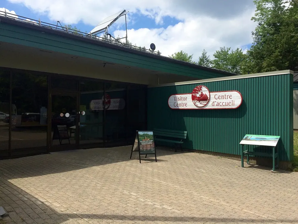
Kejimkujik Visitor Centre 3005 Kejimkujik Main Parkway in Maitland Bridge, on Route 8. Open from 15 May to 31 October 2026, daily 8:30 to 16:30. Electric vehicle charging is available here all year.
Add to your Kejimkujik National Park visit Open in OpenStreetMap ↗ Location source ↗
44.43829, -65.20860
All places
Mill Falls The rapids on the Mersey River right by the visitor centre. The trail there is two kilometres long and easy, and one of the seven red chair sites.
Add to your Kejimkujik National Park visit Open in OpenStreetMap ↗ Location source ↗
44.43872, -65.21481
All places Photo: Z3lvs ↗ · CC0 1.0 ↗
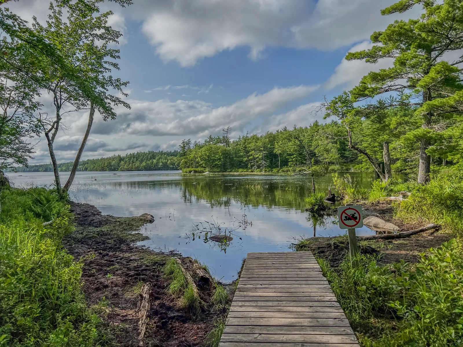
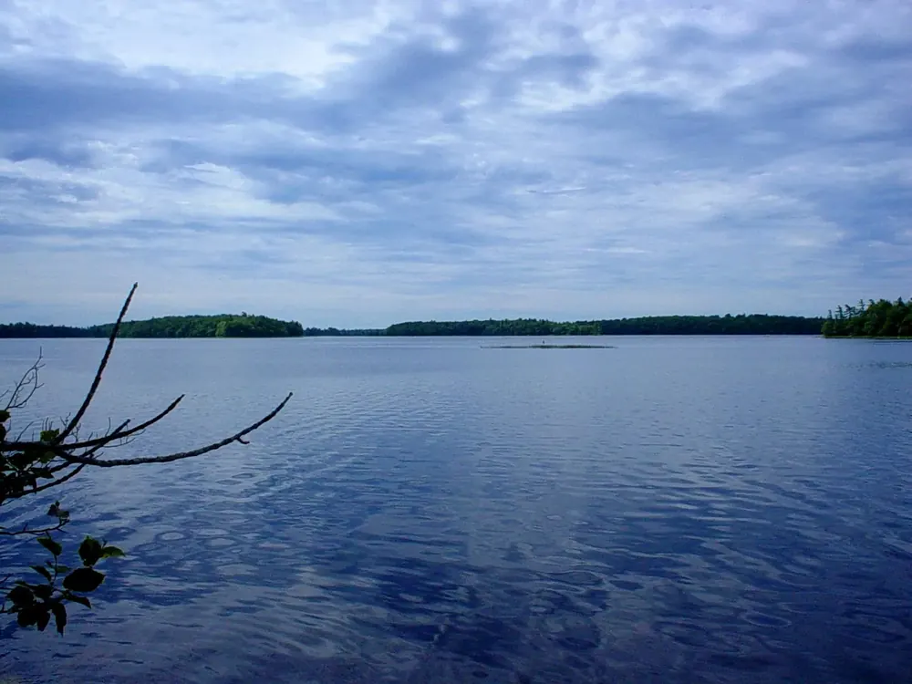
Big Dam Lake From the parking lot it is a 400-metre portage to the lake. The south-eastern half is spring-fed and clear, the northern half bog-brown; both are sheltered from strong wind.
Add to your Kejimkujik National Park visit Open in OpenStreetMap ↗ Location source ↗
44.45956, -65.28947
All places
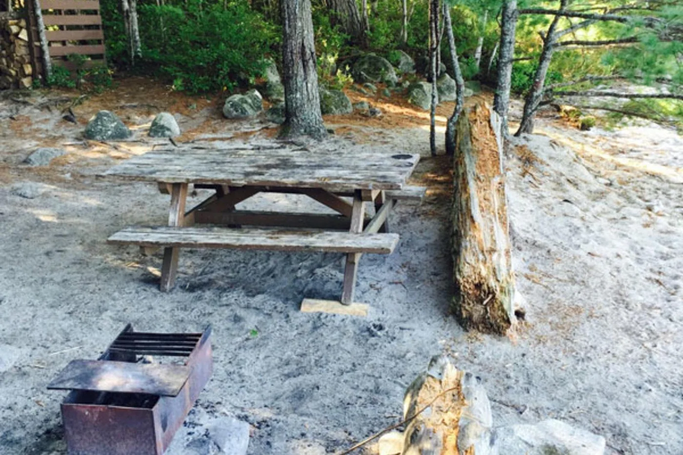
Frozen Ocean Lake One of the 17 lakes with backcountry sites. Site 7 here is one of three places where ten people instead of six may camp.
Add to your Kejimkujik National Park visit Open in OpenStreetMap ↗ Location source ↗
44.44930, -65.35533
All places
Jeremy’s Bay Campground The only drive-in campground, in four areas: Meadow Loop, Slapfoot Loop, Jim Charles Loop and Jim Charles Point. Showers, playgrounds, shop and Wi-Fi on the main path.
Guided from here
Park authority programmes, no partner links. Dates on their website.
Add to your Kejimkujik National Park visit Open in OpenStreetMap ↗ Location source ↗
44.40437, -65.24590
All places Photo: André Carrotflower ↗ · CC BY-SA 2.0 ↗
Jim Charles Point The headland in the campground with the roofed accommodation: Ôasis, the 400-series oTENTiks and two rustic cabins, plus the group site.
Add to your Kejimkujik National Park visit Open in OpenStreetMap ↗ Location source ↗
44.39461, -65.23218
All places Photo: André Carrotflower ↗ · CC BY-SA 2.0 ↗
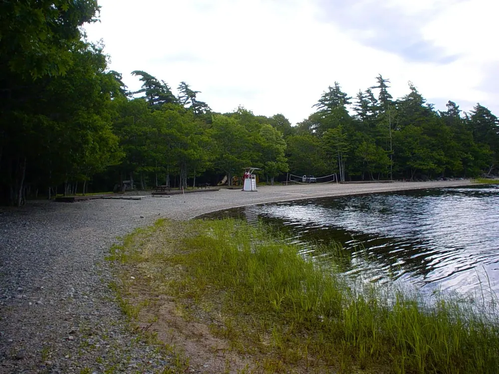
Merrymakedge The beach on Kejimkujik Lake with a café and parking lot P4. Red chairs stand here too.
Guided from here
Park authority programmes, no partner links. Dates on their website.
Add to your Kejimkujik National Park visit Open in OpenStreetMap ↗ Location source ↗
44.38300, -65.20635
All places
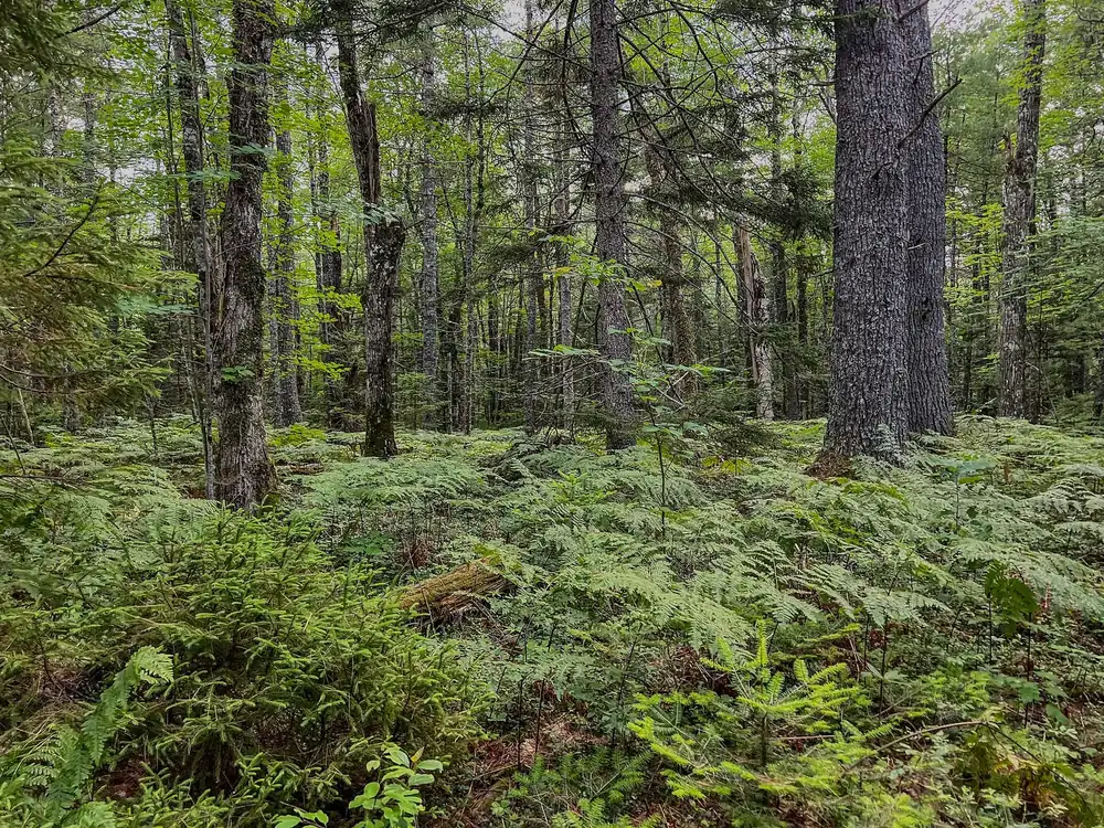
Peter Point 1.9 kilometres one way, easy. Old broadleaf trees line the trail, one of the few places in the park with real old growth. Red chairs at the end.
Add to your Kejimkujik National Park visit Open in OpenStreetMap ↗ Location source ↗
44.37636, -65.20844
All places Photo: Z3lvs ↗ · CC0 ↗
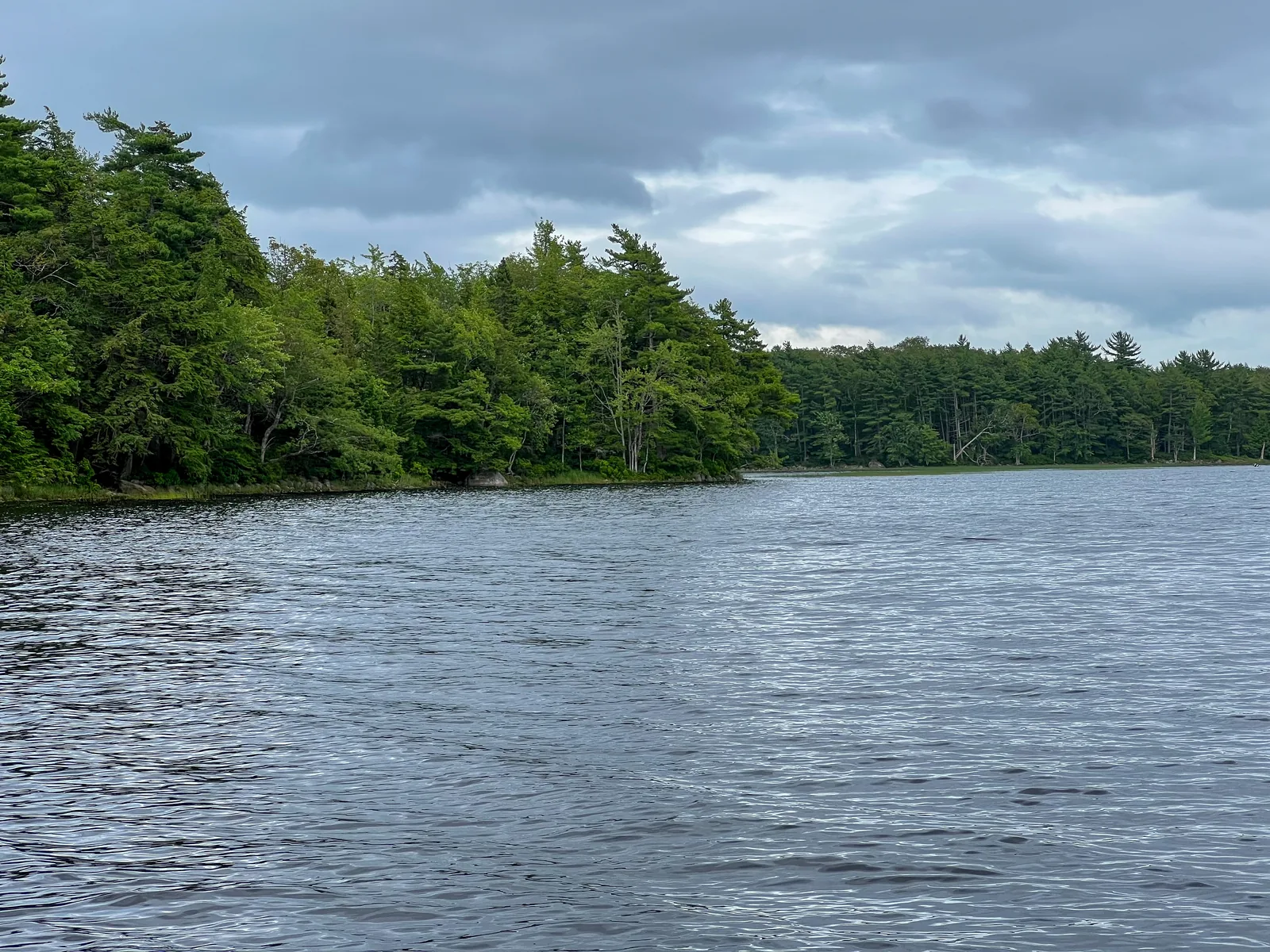
Kejimkujik Lake The large lake at the centre of the park, with many islands and bays. Motorboats have been banned here since 2026; there are no navigation buoys any more, and map and compass are essential.
The large lake at the centre, with islands and bays, and since 2026 without a single motorboat.
Coordinates 44.365717, −65.231255
Motorboats banned since 2026
Navigation buoys no longer exist
Needed map, compass, GPS device
Wind strongest around midday
Shores petroglyphs on slate slabs, restricted Add to your Kejimkujik National Park visit Open in OpenStreetMap ↗ Location source ↗
44.36572, -65.23126
All places
Eel Weir Access point on the lower Mersey River. From here it is a 200-metre portage upstream to George Lake. Mi’kmaw eel weirs stood on the Mersey River for thousands of years.
Add to your Kejimkujik National Park visit Open in OpenStreetMap ↗ Location source ↗
44.33484, -65.20510
All places Photo: Tony Webster from Portland, Oregon ↗ · CC BY-SA 2.0 ↗
Kejimkujik Seaside 1188 St. Catherines River Road in Port Joli, about 100 kilometres from the main park. Admission is free here; you cannot stay overnight, and camping is only next door in Thomas Raddall Provincial Park.
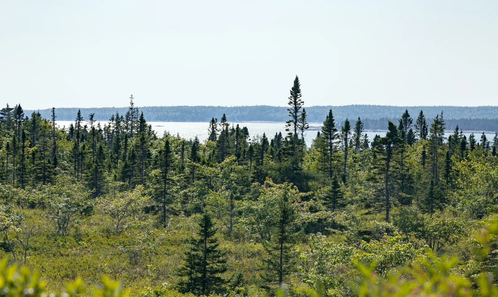
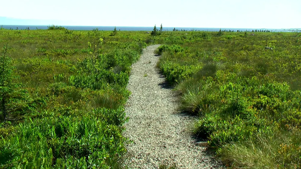
The coastal part at Port Joli: through dense scrub to the open sea, white sand and turquoise water.
Admission free
Use daytime only, no camping
Trails Harbour Rocks and Port Joli Head
Time half a day to a full day
Overnight stays next door in Thomas Raddall Provincial Park
Since 1988 part of the park Add to your Kejimkujik National Park visit Open in OpenStreetMap ↗ Location source ↗
43.83790, -64.85619
All places
St. Catherines River Beach The white sweep of sand at the end of the trail. One of the last undisturbed nesting beaches of the endangered piping plover.
Add to your Kejimkujik National Park visit Open in OpenStreetMap ↗ Location source ↗
43.84039, -64.83100
All places Photo: Sam Blackman ↗ · CC BY 2.0 ↗
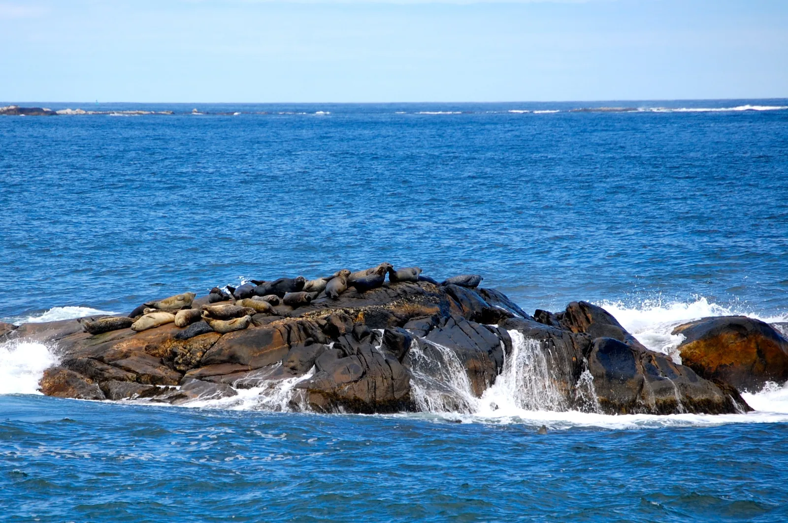
Harbour Rocks From the trail you can see harbour seals on the offshore rocks. Here stands the only pair of red chairs by the sea.
Harbour seals lie on the offshore rocks, visible from the trail without disturbing them.
Spot Harbour Rocks Trail
Coordinates 43.833659, −64.832552
Red chairs the only pair by the sea
Further out eiders and other seabirds
On the beach nesting site of the piping plover
Rule keep your distance, stay on the trails Add to your Kejimkujik National Park visit Open in OpenStreetMap ↗ Location source ↗
43.83366, -64.83255
All places Photo: Rick McCharles ↗ · CC BY 2.0 ↗
Port Joli Head The second trail by the sea leads onto the headland with a view over the bay and the Atlantic.
Add to your Kejimkujik National Park visit Open in OpenStreetMap ↗ Location source ↗
43.81345, -64.83465
Locations verified from the linked original sources and OpenStreetMap. The map shows no trails or park boundaries; markers do not imply that access is permitted.
Map: © OpenStreetMap contributors, OpenMapTiles, OpenFreeMap. Elevation: Terrain Tiles (Mapzen, AWS Open Data); 3DEP, GMTED2010 and SRTM courtesy of the U.S. Geological Survey; EU-DEM (Copernicus, European Union); ETOPO1 (NOAA); ArcticDEM (NSF, DigitalGlobe); Geoscience Australia; Open Data Austria (DGM); Open Government Licence – Canada; INEGI; Land Information New Zealand; Kartverket; Environment Agency (UK).
Park photo: Photo: Z3lvs ↗ · CC0 ↗