

Three districts, two rivers, no bridge
Why this park has to be planned differently from any other, based on the park authority’s own information.
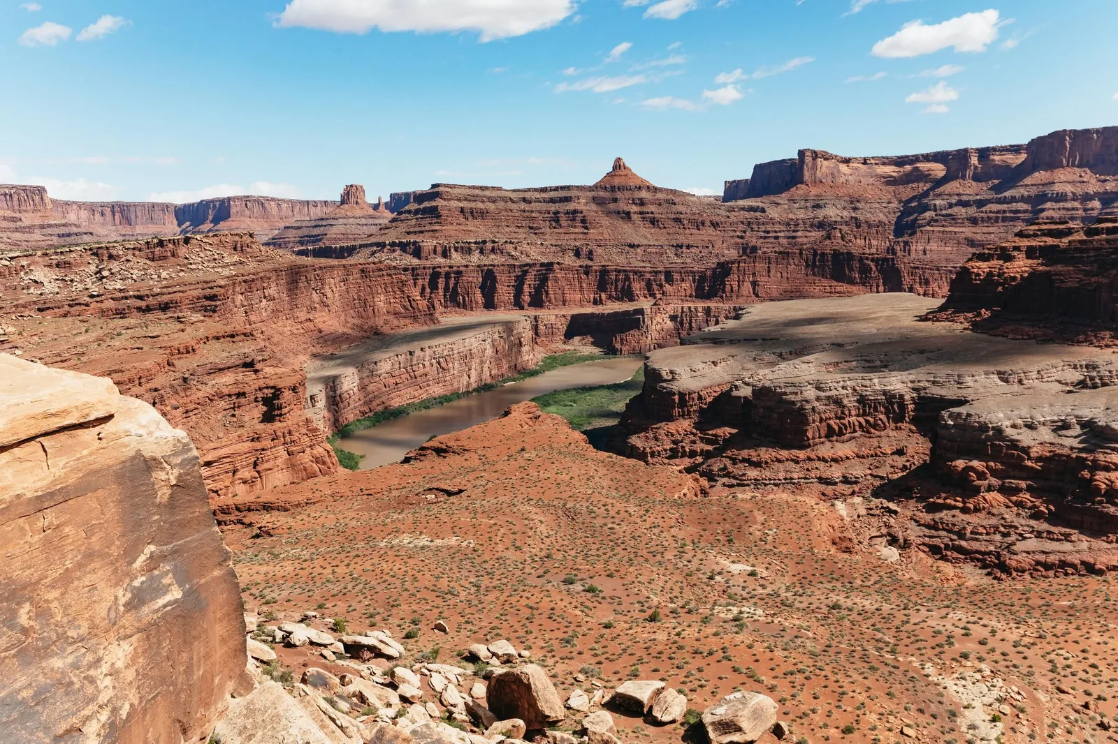
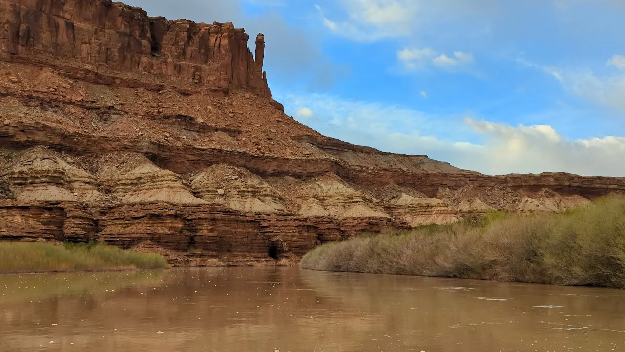
One park, three districts, no crossing: the Green River and the Colorado cut through Canyonlands so thoroughly that no road in the park leads from one part to another.
On the map the three districts look like parts of one whole. In practice they are three destinations: to get from Island in the Sky to the Needles, you drive out of the park, down to Moab, south on US 191 and back in on UT 211. The park authority itself says that most visitors find it impractical to see more than one or two districts on one trip.
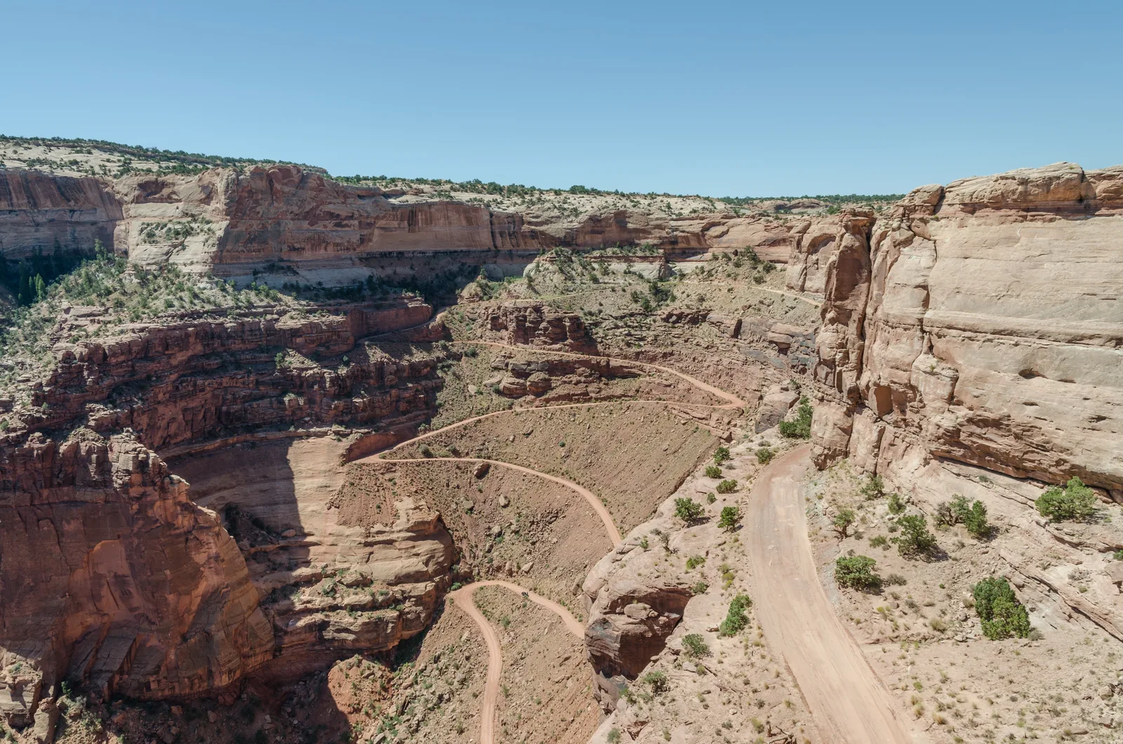
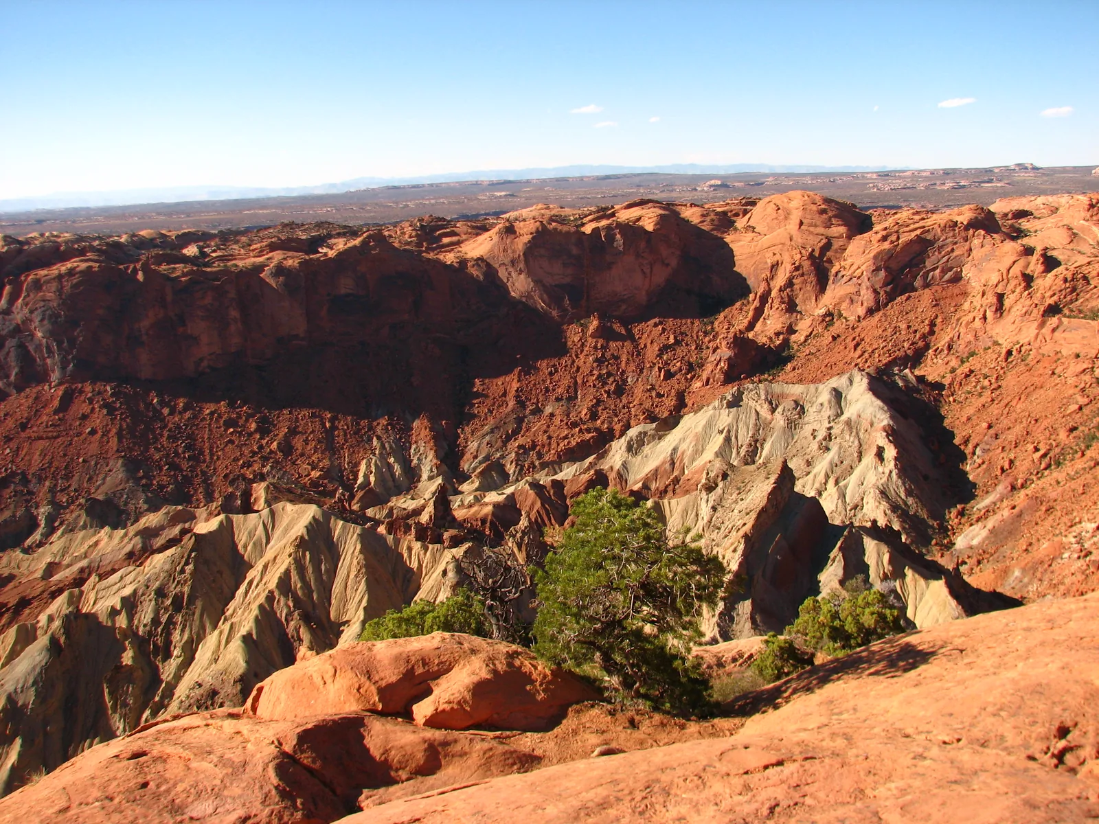
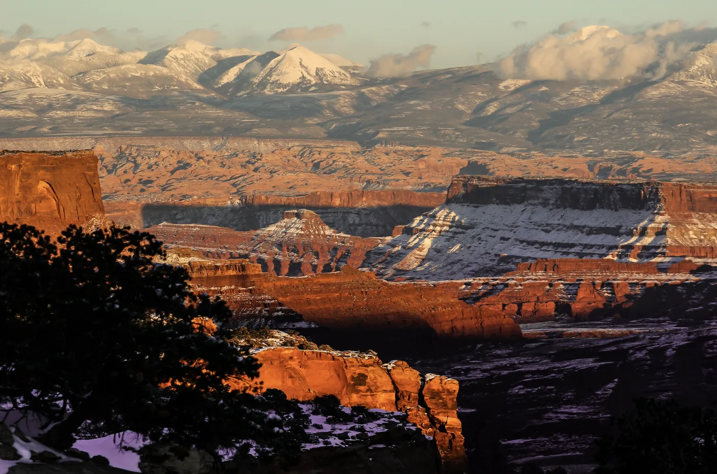
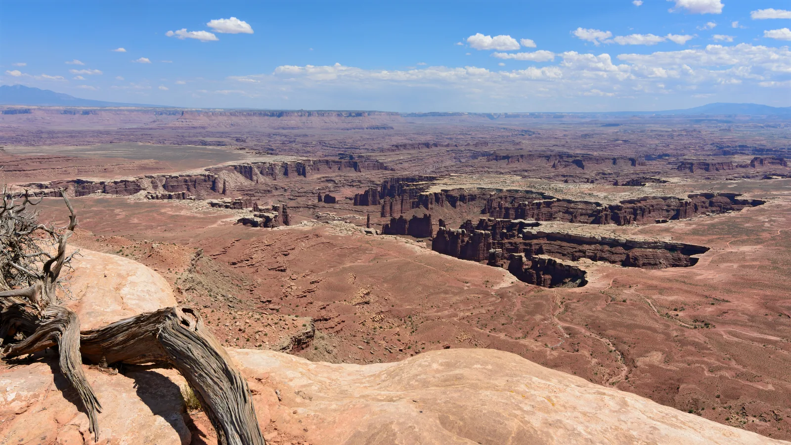
Island in the Sky sits on a mesa between the two rivers. From there you look down on a stepped landscape: first the White Rim bench about 300 to 400 m (1,000 to 1,300 ft) lower, then the river gorges the same distance further down. The trails on the mesa top are short and flat; every trail down is a full-day undertaking with 300 to 600 m (1,000 to 2,000 ft) to climb back up.
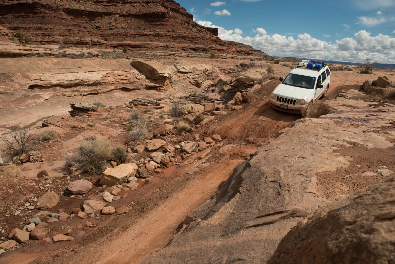
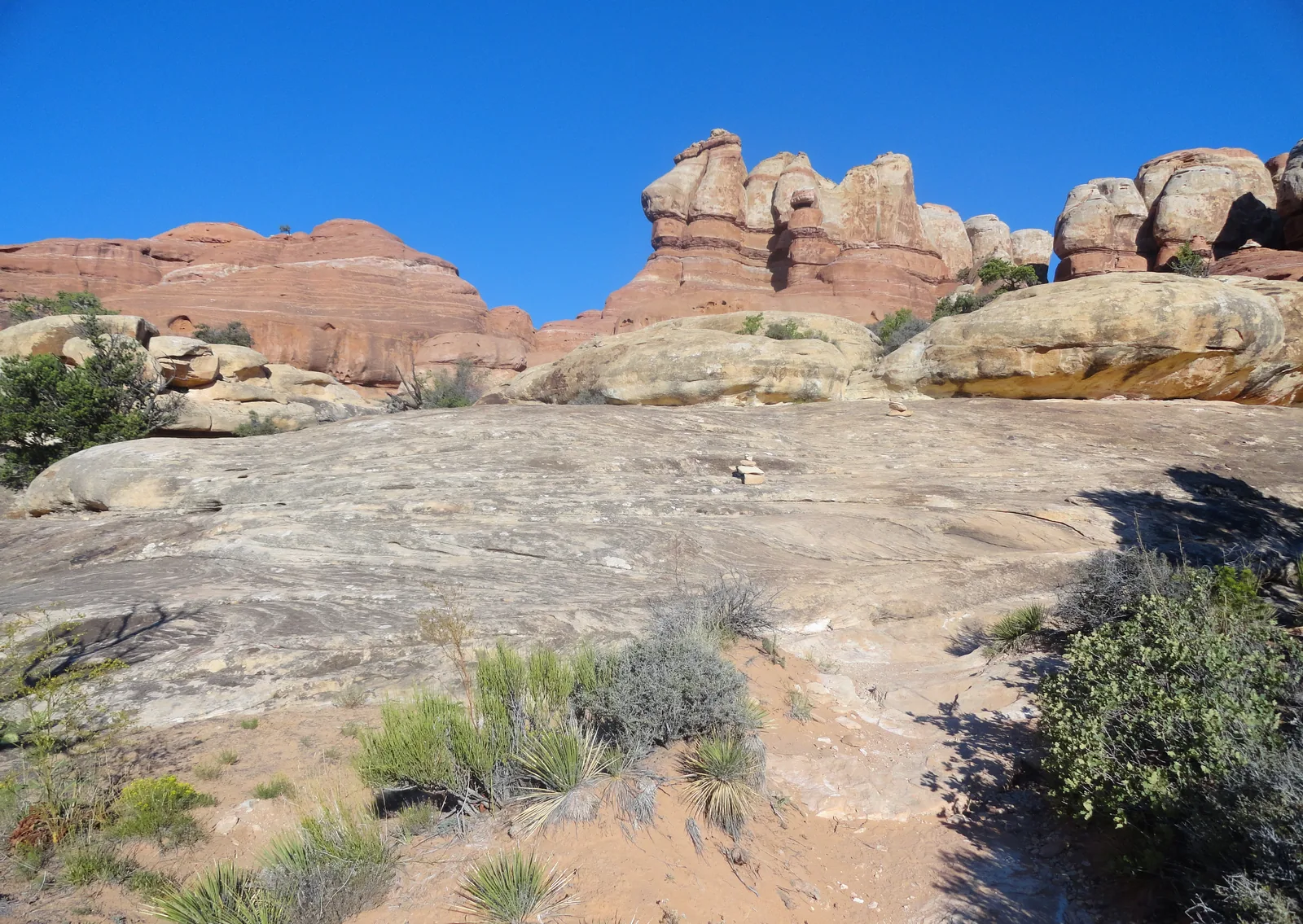
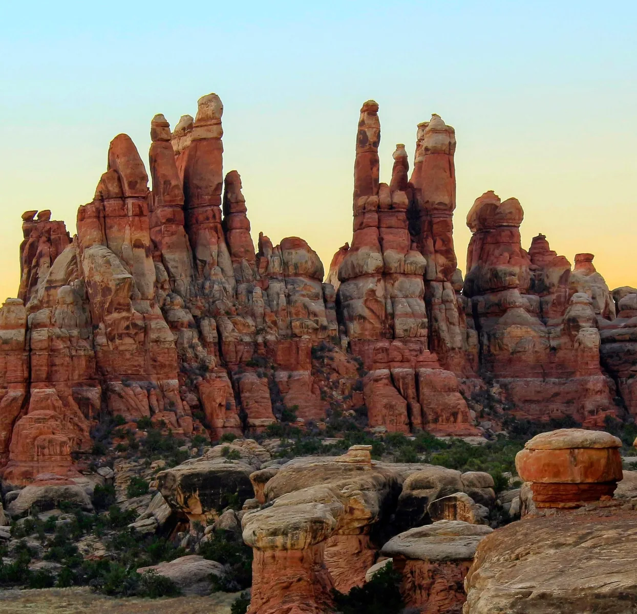
The Needles in the south is the hiking district: over 60 miles (97 km) of connected trails between banded sandstone spires, plus some of the most technically difficult 4WD roads in the park. The trails cross slickrock and sandy washes, with ladders at the narrow spots.
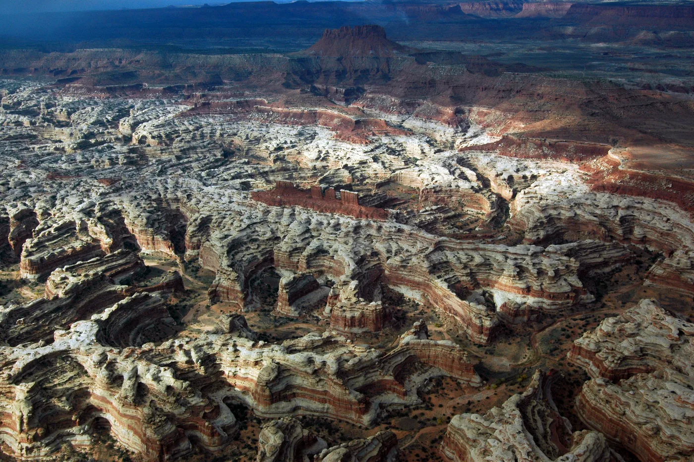
The Maze, west of the rivers, is explicitly a destination for multi-day trips. The trails are steep, unmarked and barely maintained, the canyons look alike, and reaching the trailheads requires a high-clearance 4WD vehicle. If you go there, you must be able to rescue yourself.
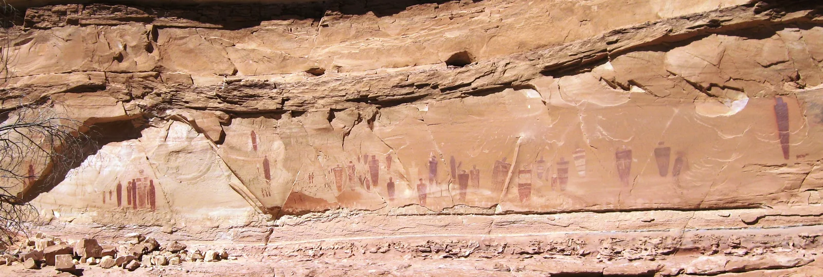
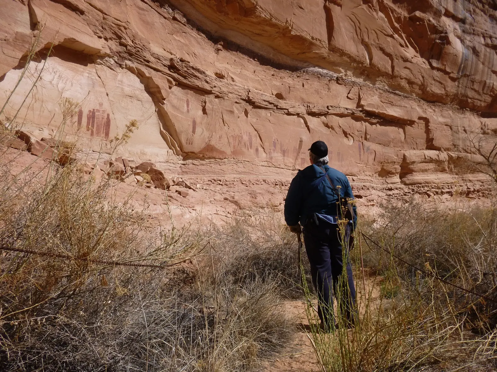
Horseshoe Canyon is administratively part of the Maze but lies on its own to the north-west. It is home to the Great Gallery, one of the best-known rock art sites in North America, reached on an 11 km (7 mi) hike with 780 ft (237 m) of elevation change.
NPS: basic information and districts ↗
The park in numbers
- Area
- 337,598 acres, about 1,366 km² (527 sq mi)
- Largest national park in Utah
- yes
- Districts
- Island in the Sky, The Needles, The Maze
- Divided by
- Green River and Colorado
- Driving time between districts
- 2 to 6 hours
- Average elevation
- over 5,000 ft, about 1,500 m
- Paved road at Island in the Sky
- 34 miles (55 km) there and back
- Paved road in the Needles
- 13 miles (21 km) there and back
- White Rim Road
- 100 miles (161 km), permit required