
Paklenica National Park: landscape and canyons
What makes the park special, based on information from the park authority.
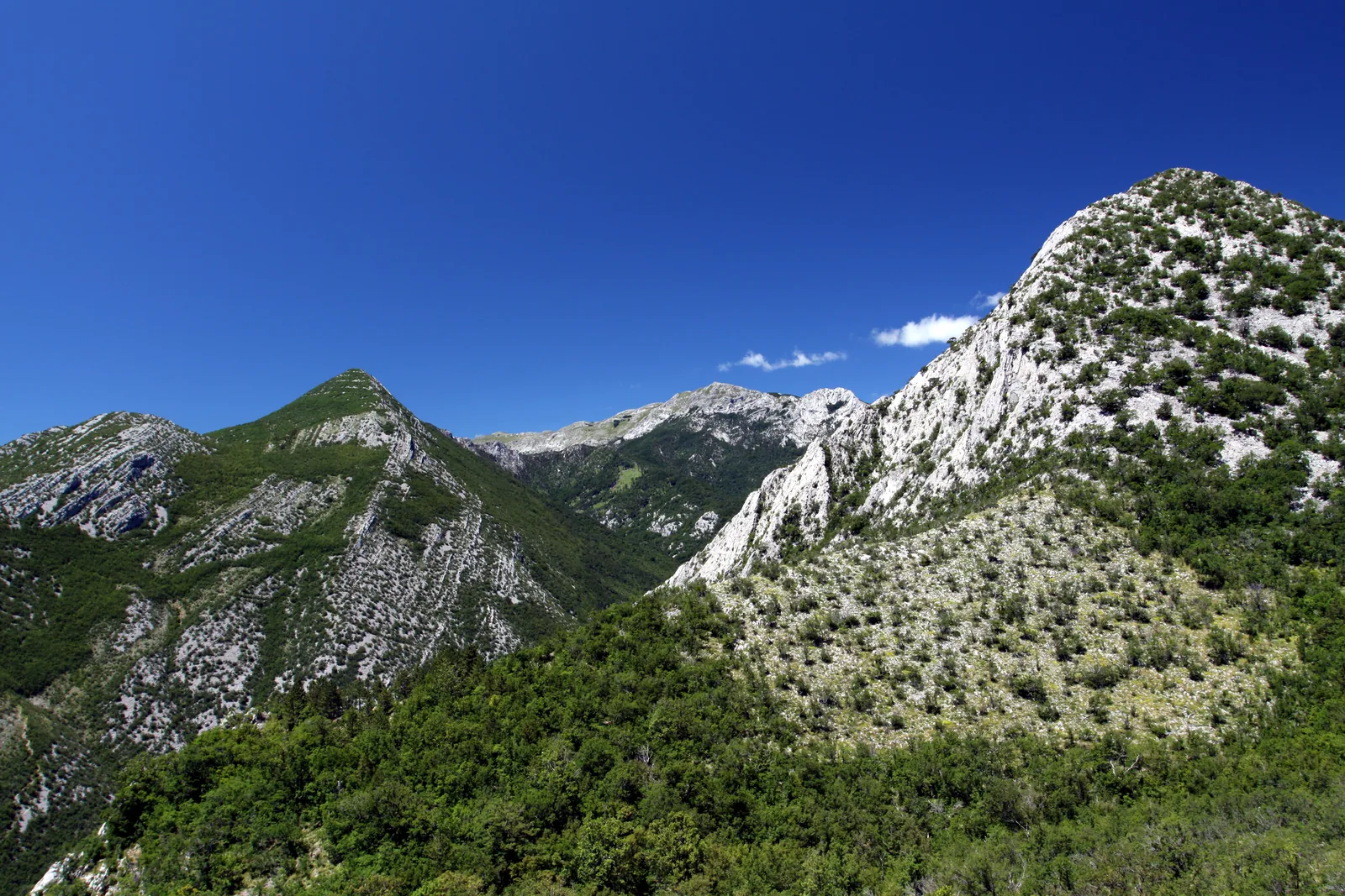
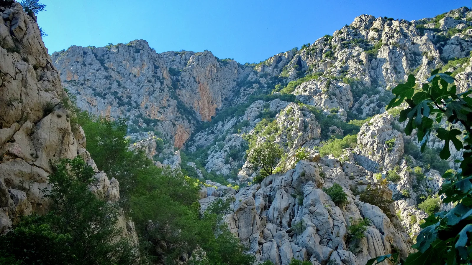
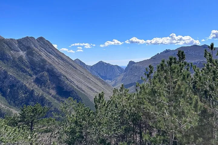
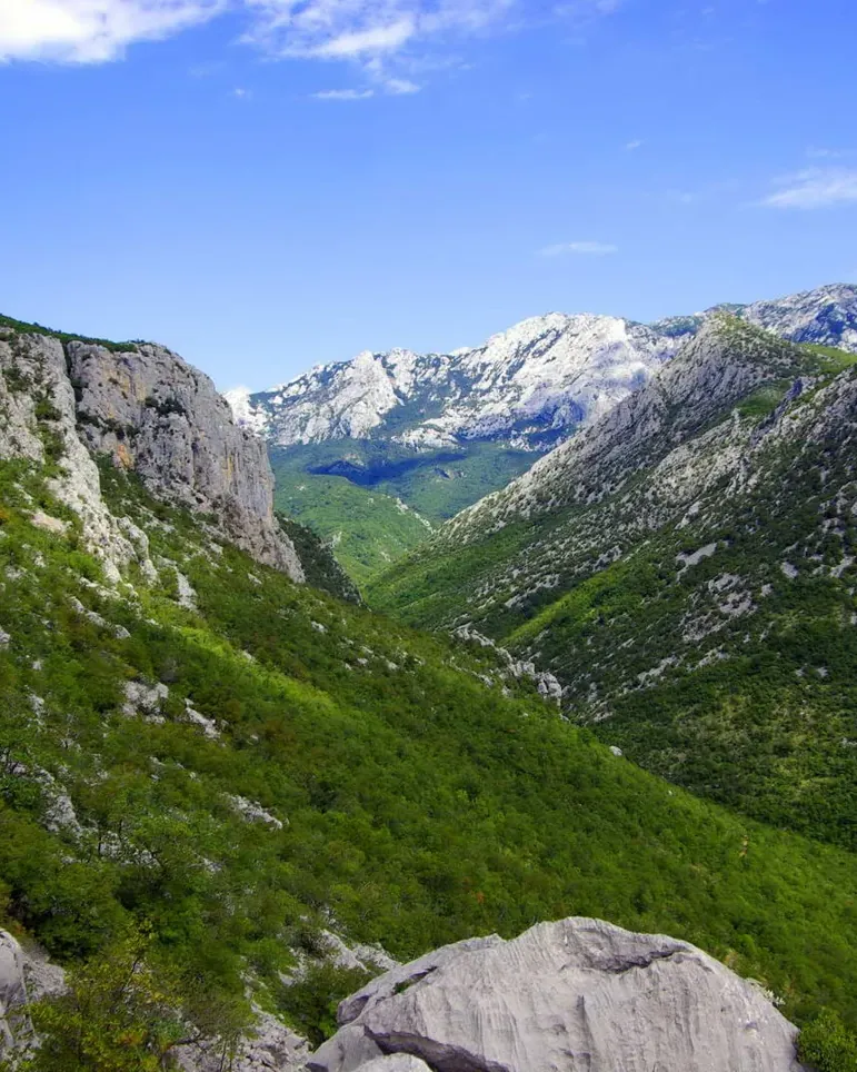
Paklenica is a park of canyons. Two of them cut into the Velebit from the sea, and the park rises from 20 to 1,757 metres (66 to 5,764 ft) over an area of only 95 square kilometres.
The Velika Paklenica canyon is 14 kilometres long and 500 to 800 metres wide; at its narrowest point, near the underground tunnels, it is only 50 metres. Vertical walls rise more than 700 metres on both sides. The Mala Paklenica canyon is smaller and its torrent much weaker: 12 kilometres long, 400 to 500 metres wide, 10 metres at the narrowest point, with walls up to 650 metres. Between the two canyons lies very inaccessible karst terrain of rocks and cliffs.
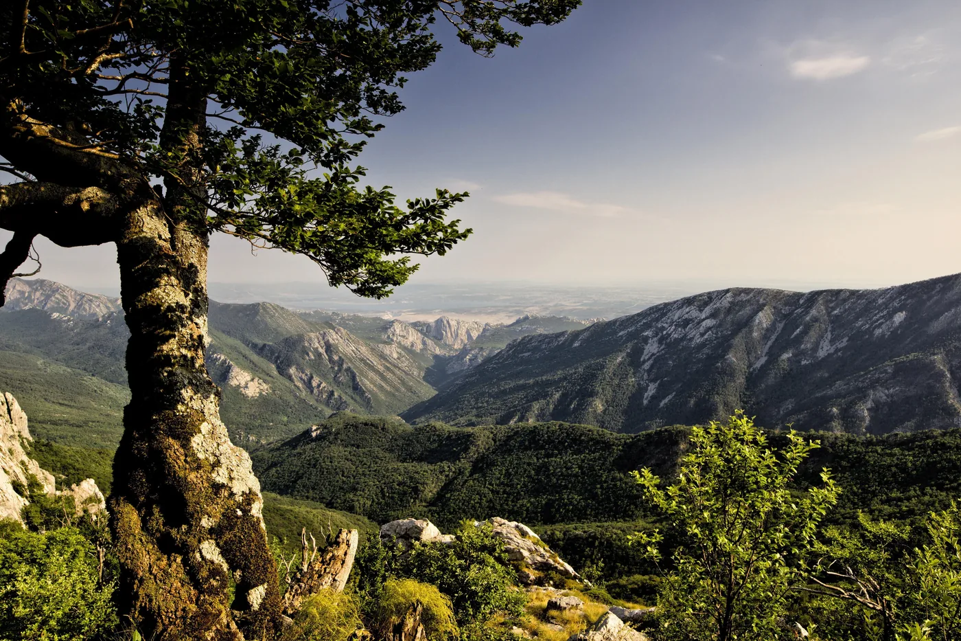
The middle of the park is shaped by the Borovnik and Crni vrh massif, with the valleys of Mala Močila and Velika Močila beside it. Velika Močila is a bowl-shaped hollow at 850 metres, surrounded by Crni vrh (1,110 m), Škiljina kosa (1,015 m) and Zeleni brig (842 m). The eastern part of the park is wild and hard to reach and passes further east into the karst plateaus of Malo and Veliko Libinje. The highest area is the Velebit ridge, one to three kilometres wide, with Vaganski vrh, the highest peak of the range.
The range of altitude from 20 to 1,757 metres, the differences in geology and the permanent and seasonal watercourses produce eight different forest communities in a small area. The highest summits carry Croatia's largest and densest stand of dwarf mountain pine.
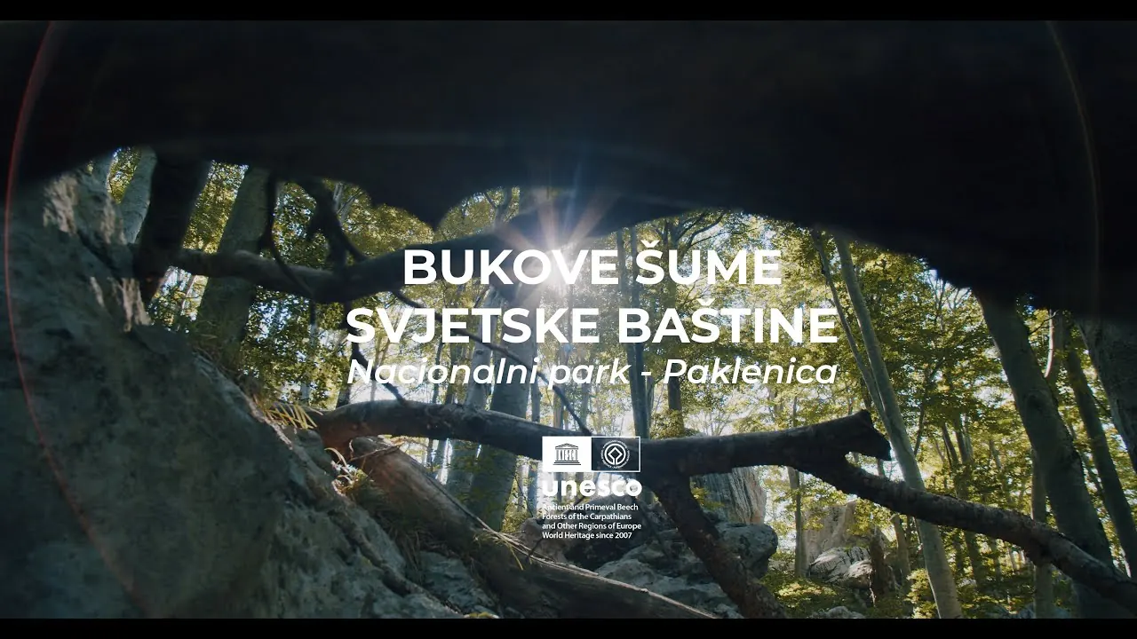
It was not the canyon that was recognised but the forest: in 2017 the beech forests of Paklenica and Northern Velebit were added to the UNESCO World Heritage List as the Croatian part of the "Ancient and Primeval Beech Forests of the Carpathians and Other Regions of Europe". In the park itself these are the two areas Suva draga-Klimenta and Oglavinovac-Javornik.
Park authority: geomorphological features ↗
The park in numbers
- Founded
- 19 October 1949
- Area
- 95 km² (37 sq mi)
- Altitude range
- 20 to 1,757 m (66 to 5,764 ft)
- Highest peaks
- Vaganski vrh 1,757 m (5,764 ft), Sveto brdo 1,753 m (5,751 ft)
- UNESCO World Heritage
- beech forests, since 7 July 2017
- Biosphere reserve
- Velebit, UNESCO MaB, since 10 February 1978
- Natura 2000
- since 1 December 2014
- Trails
- 150 to 200 km (93 to 124 mi) of paths and trails
- Climbing routes
- about 600, grades 3 to 8b+
- Caves
- 115 known caves and pits, one show cave
- Plants
- 1,000 species and subspecies, 79 of them endemic