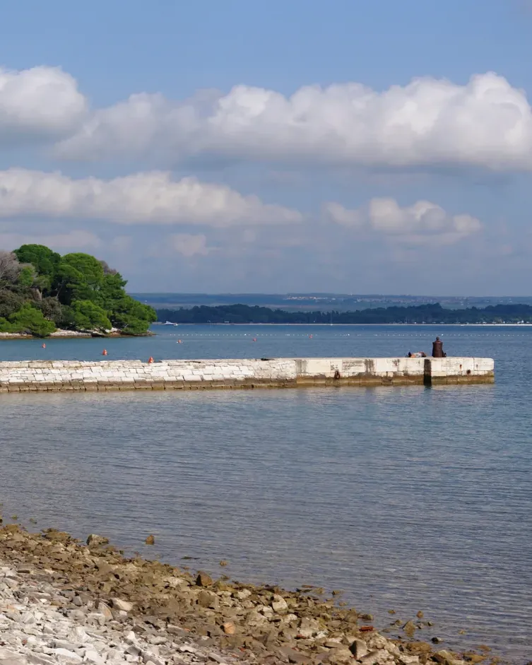

Brijuni National Park: landscape and geology
What makes the park special, based on information from the park authority.
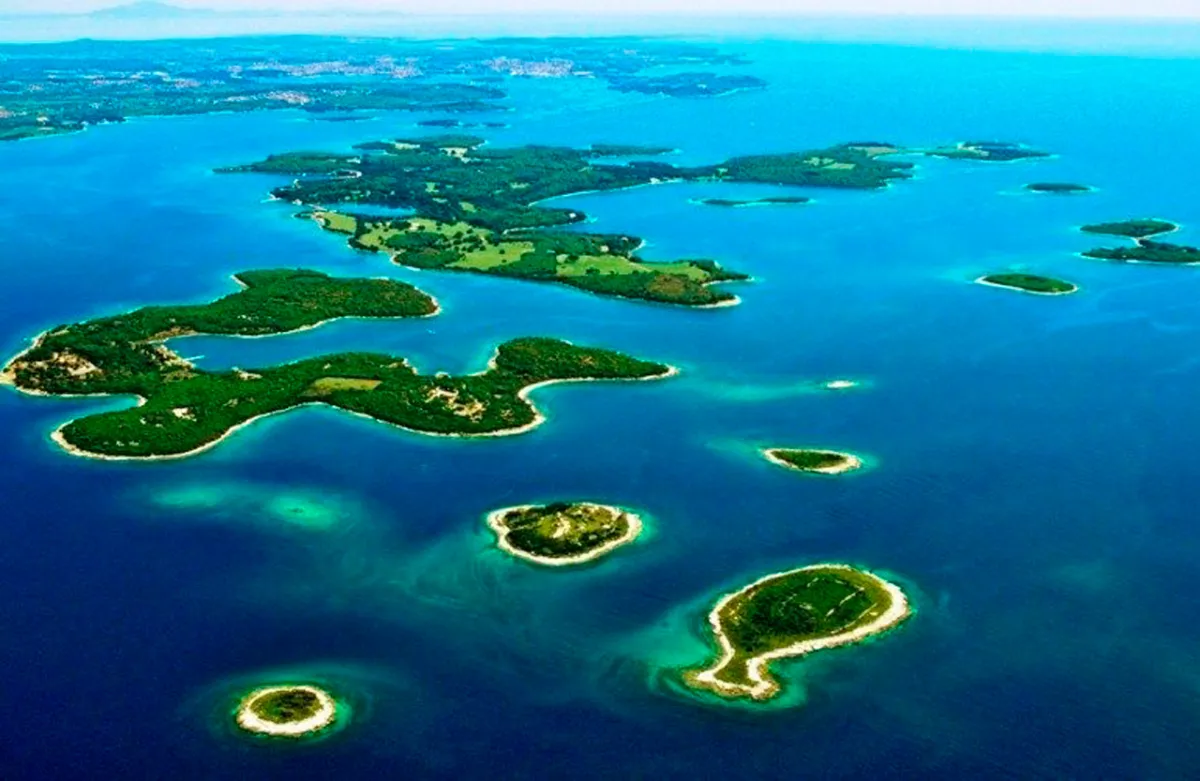
Brijuni is an island park off the west coast of Istria. Most of the protected area lies under water: of 3,395 hectares, 2,652 hectares are sea.
The national park includes 14 islands and islets, led by Veliki Brijun and Mali Brijun. The coastline of all the islands together measures 46.82 kilometres, the sea boundary 22.93 kilometres. The most indented are Veliki Brijun with 25.9 and Mali Brijun with 8.3 kilometres of coast. The present park boundaries were set in 1999 and cover land, surrounding sea and seabed over 33.9 square kilometres.
Geologically, the islands continue western Istria, the so-called Red Istria: horizontal to gently tilted layers of Cretaceous limestone, covered in places by terra rossa. The Fažana channel is only twelve metres deep; ten thousand years ago the Brijuni were still part of the Istrian mainland. The white, marble-like limestone was so prized as a building material that Roman builders used it for towns along the Adriatic coast.
The climate is of the northern Mediterranean type, with high humidity of 76 per cent and a mean annual temperature of 13.9 °C (57 °F). More than 400 plant species grow on the islands; the wildlife is a mix of native and introduced species.
The most striking geological heritage lies underfoot: more than 200 dinosaur footprints have been found at four sites on Veliki Brijun.
Park authority: Brijuni in figures ↗
The park in numbers
- Total area
- 3,395.00 ha
- of which sea
- 2,651.70 ha
- Land area
- 743.30 ha
- Islands
- 14
- Length of coastline
- 46.82 km (29.09 mi)
- Present boundaries
- set in 1999, 33.9 km² (13.1 sq mi)
- Fažana channel
- 12 m (39 ft) deep
- Mean annual temperature
- 13.9 °C (57 °F)
- Plant species
- more than 400
- Dinosaur tracks
- more than 200 at four sites