
Mljet National Park: landscape and how the lakes formed
What makes the park special, based on information from the park authority.
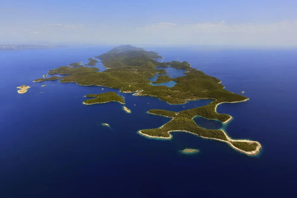
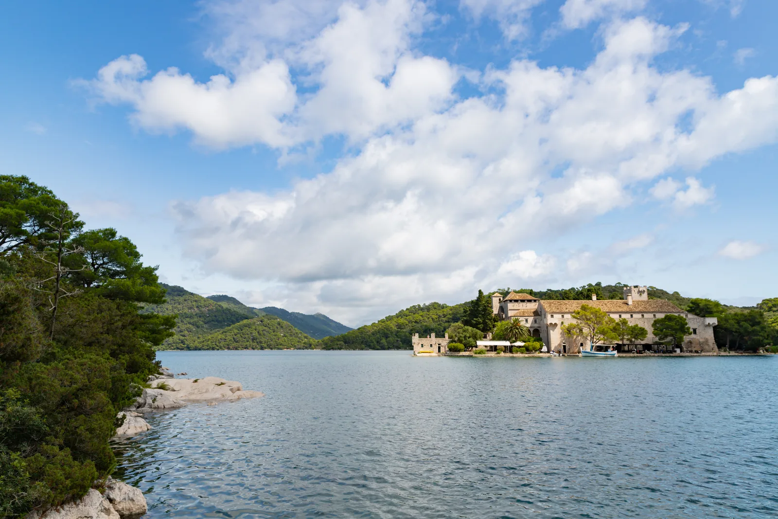
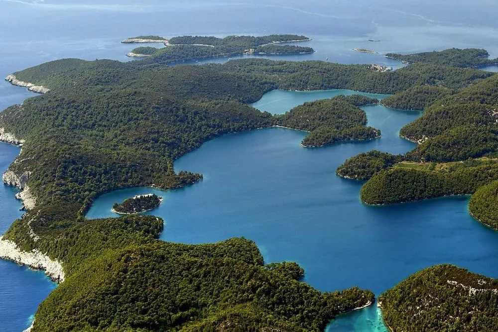
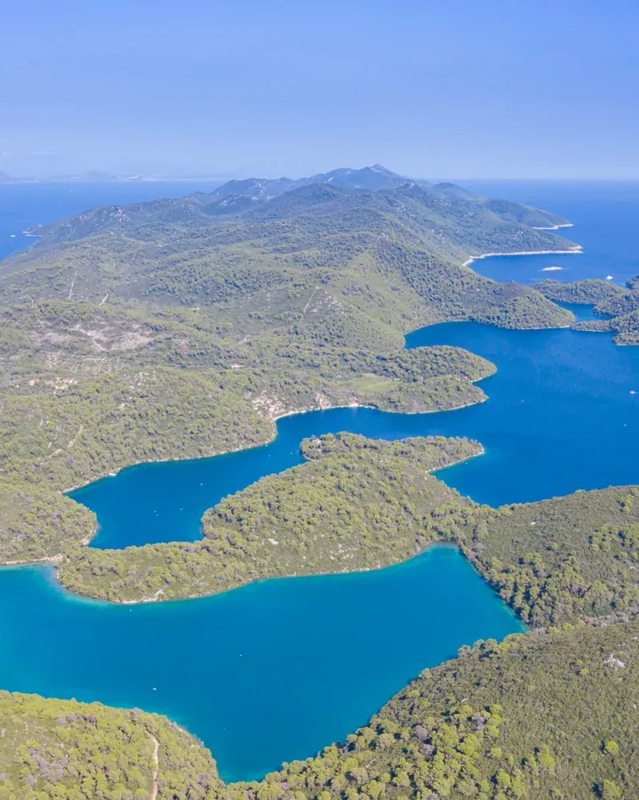
According to the park authority, Mljet is the oldest marine protected area in the Mediterranean. At its heart are two deep bays that look like lakes but hold seawater.
The park was founded on 11 November 1960, largely thanks to the scientist and academic Branimir Gušić. It covers just under 5,300 hectares, including a 500-metre strip of sea off the coast and the islets and rocks: together, just under a third of the island of Mljet.
Malo Jezero and Veliko Jezero, the Small and the Great Lake, are not freshwater lakes. They were formed by the rise in sea level after the last ice age: before that, a karst sinkhole lay here which probably held fresh water between 10,000 and 6,000 years ago. Later the sea entered through cracks in the karst and through the narrow passage to the Soline channel.
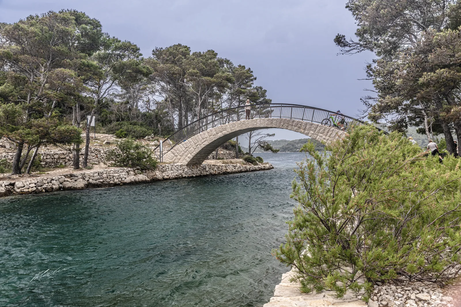
The Great Lake covers 145 hectares, has 9,240 metres of shoreline and is up to 47 metres (154 ft) deep. The Small Lake, with 24 hectares, 2,600 metres of shoreline and a depth of up to 29 metres (95 ft), is the smaller part of the system and reaches furthest inland; a shallow, narrow channel links it to the Great Lake, spanned by the stone bridge Mali most.
At Veliki most the Great Lake opens into the sea through the Soline channel. Until 1958 this passage was shallower and narrower, so the tides created strong currents there that reversed every six hours. The bridge was taken down in 1958 and rebuilt in 2016.
Park authority: about the park ↗
The park in numbers
- Founded
- 11 November 1960
- Distinction
- oldest marine protected area in the Mediterranean
- Area
- just under 5,300 ha
- Strip of sea
- 500 m (1,640 ft) off the coast
- Share of the island
- just under a third
- Veliko Jezero
- 145 ha, up to 47 m (154 ft) deep, 9,240 m of shoreline
- Malo Jezero
- 24 ha, up to 29 m (95 ft) deep, 2,600 m of shoreline
- Veliki most
- taken down in 1958, rebuilt in 2016