
Risnjak National Park: landscape and geology
What makes the park special, based on information from the park authority.
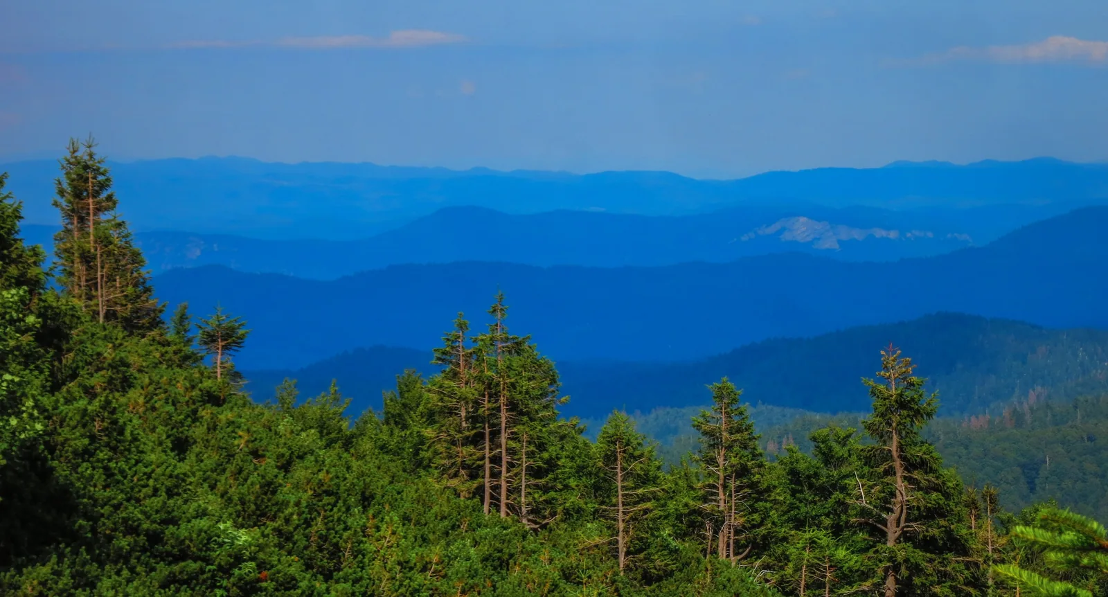
Risnjak lies where the Alps give way to the Dinarides: a forested high karst area between the coastal and the continental climate.
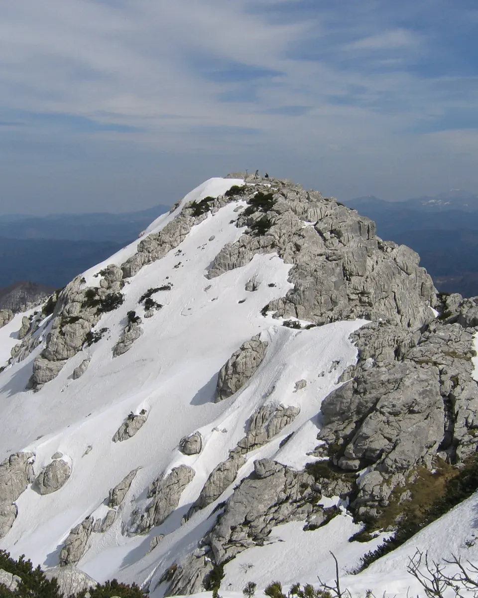
The park authority gives an area of 6,350 hectares. The highest point is the summit of Risnjak at 1,528 metres (5,013 ft), the lowest the Kupa valley at 290 metres (951 ft). The main objects of protection are the forest and the Kupa spring, a hydrogeological natural monument. The park lies in Primorje-Gorski Kotar County, in the town areas of Delnice and Čabar.
Geologically, the area belongs to the Dinaride system that links the Alps with the Balkan ranges. The carbonate rocks range from the Palaeozoic to the Quaternary: the oldest lie in the upper Krašičevica and in part of the Kupa valley, Triassic rock at middle heights around Leska, Bela Vodica and Biljevina, and younger Triassic and Jurassic rock on the heights of Risnjak and Snježnik.
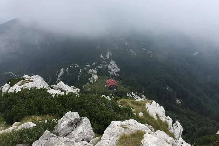
The relief is shaped by karst: dry meadows, underground stream caves, deep shafts and karst fields, formed by climate and water. The park authority regards the Risnjak and Snježnik massifs as a typical example of a forested high karst area in Europe.
Because these massifs naturally link the Alps and the Dinarides, they are an important ecological corridor for plants and large animals. The park is home to all three of Europe's large carnivores: brown bear, wolf and lynx. The authority lists 1,148 plant species and subspecies and 114 bird species recorded in the area and its surroundings.
Park authority: general information ↗
The park in numbers
- Area
- 6,350 ha
- Highest point
- Risnjak, 1,528 m (5,013 ft)
- Lowest point
- Kupa valley, 290 m (951 ft)
- Main object of protection
- Forest and Kupa spring
- County
- Primorje-Gorski Kotar, Delnice and Čabar
- Plants
- 1,148 species and subspecies
- Birds
- 114 recorded species
- Large carnivores
- Brown bear, wolf and lynx
- Location
- Where the Alps meet the Dinarides