All places
Island in the Sky Visitor Center The first stop in the most visited district. It has drinking water, permits and the only reliable information on backcountry road conditions.
Add to your Canyonlands National Park visit Open in OpenStreetMap ↗ Location source ↗
38.45982, -109.82100
All places Photo: Ken Lund from Reno, Nevada, USA ↗ · CC BY-SA 2.0 ↗
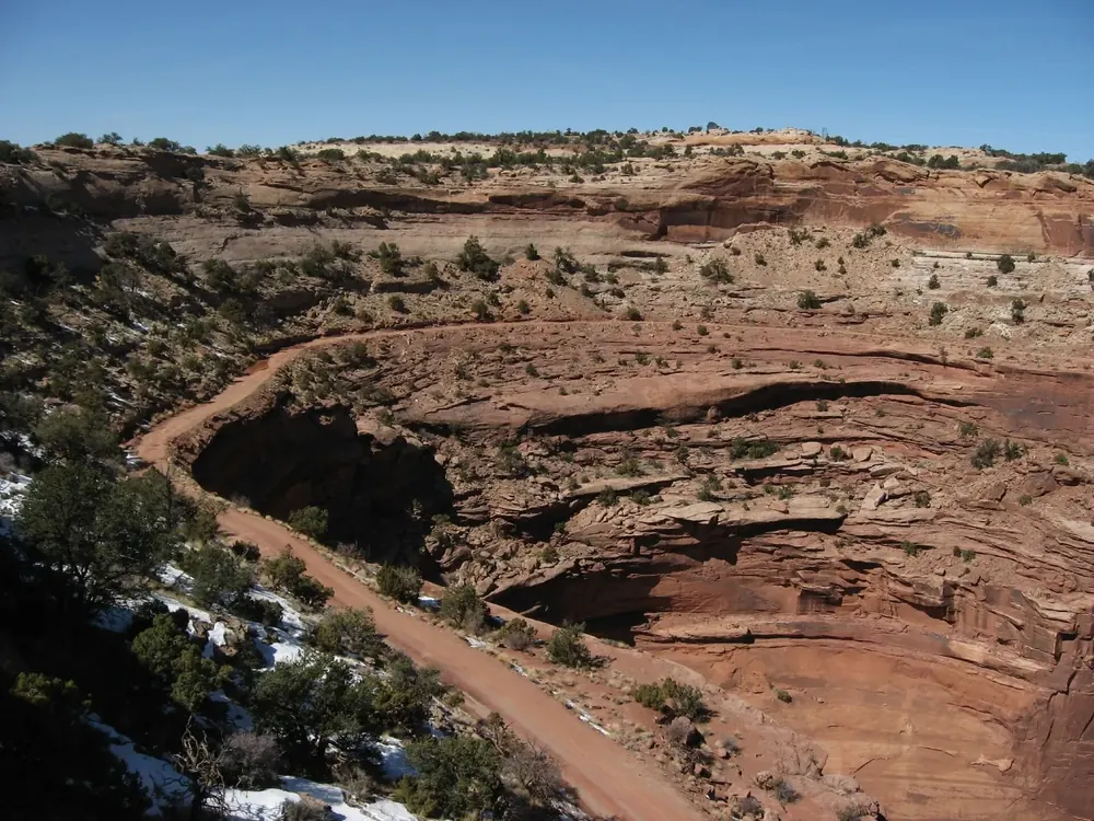
Shafer Canyon Overlook A view of the Shafer Trail switchbacks, which drop 1,500 ft (457 m). The stop is right by the road, a few hundred metres past the visitor centre.
Add to your Canyonlands National Park visit Open in OpenStreetMap ↗ Location source ↗
38.45353, -109.82121
All places Photo: Thomas Wolf , www.foto-tw.de ↗ · CC BY-SA 3.0 ↗
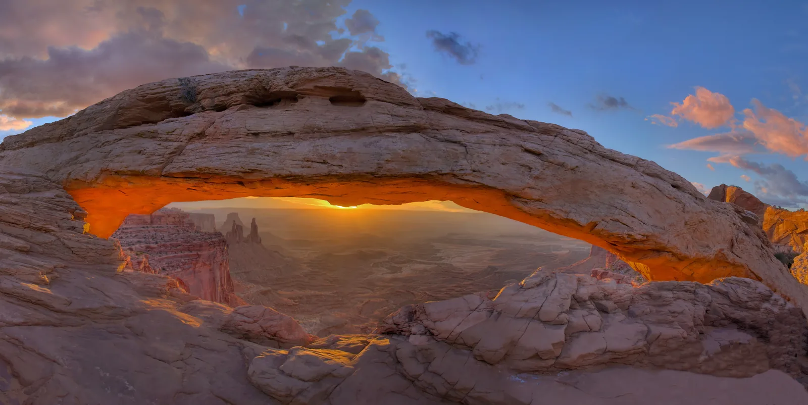
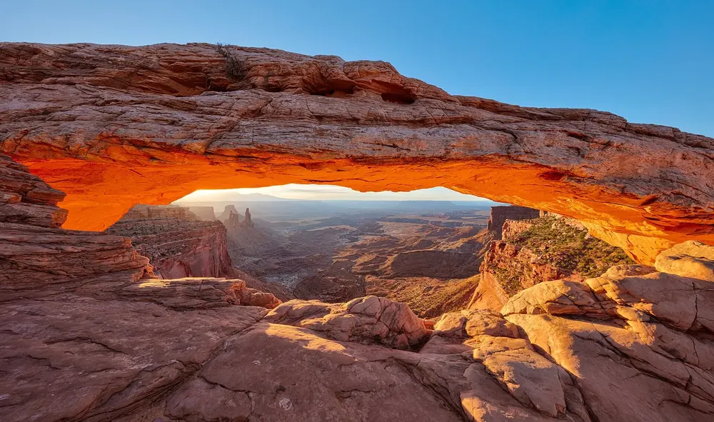
Mesa Arch An arch on the edge of the cliff. Half a mile there and back, about 30 minutes, and at sunrise the most photographed spot in the park.
Add to your Canyonlands National Park visit Open in OpenStreetMap ↗ Location source ↗
38.38804, -109.86345
All places Photo: Farragutful ↗ · CC BY-SA 4.0 ↗
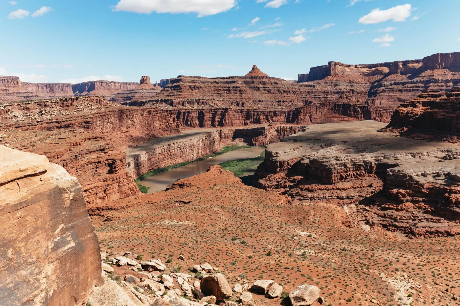
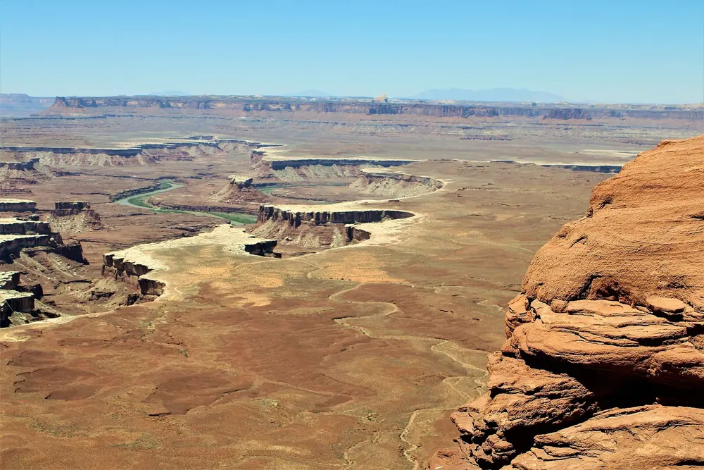
Green River Overlook A view over the canyons of the Green River. Willow Flat Campground is a few minutes away.
Guided from here
Park authority programmes, no partner links. Dates on their website.
Add to your Canyonlands National Park visit Open in OpenStreetMap ↗ Location source ↗
38.37818, -109.88819
All places
Willow Flat Campground Twelve sites with fire rings, tables and vault toilets, no water. All sites are first-come, first-served.
Add to your Canyonlands National Park visit Open in OpenStreetMap ↗ Location source ↗
38.38337, -109.88799
All places Photo: Farragutful ↗ · CC BY-SA 4.0 ↗
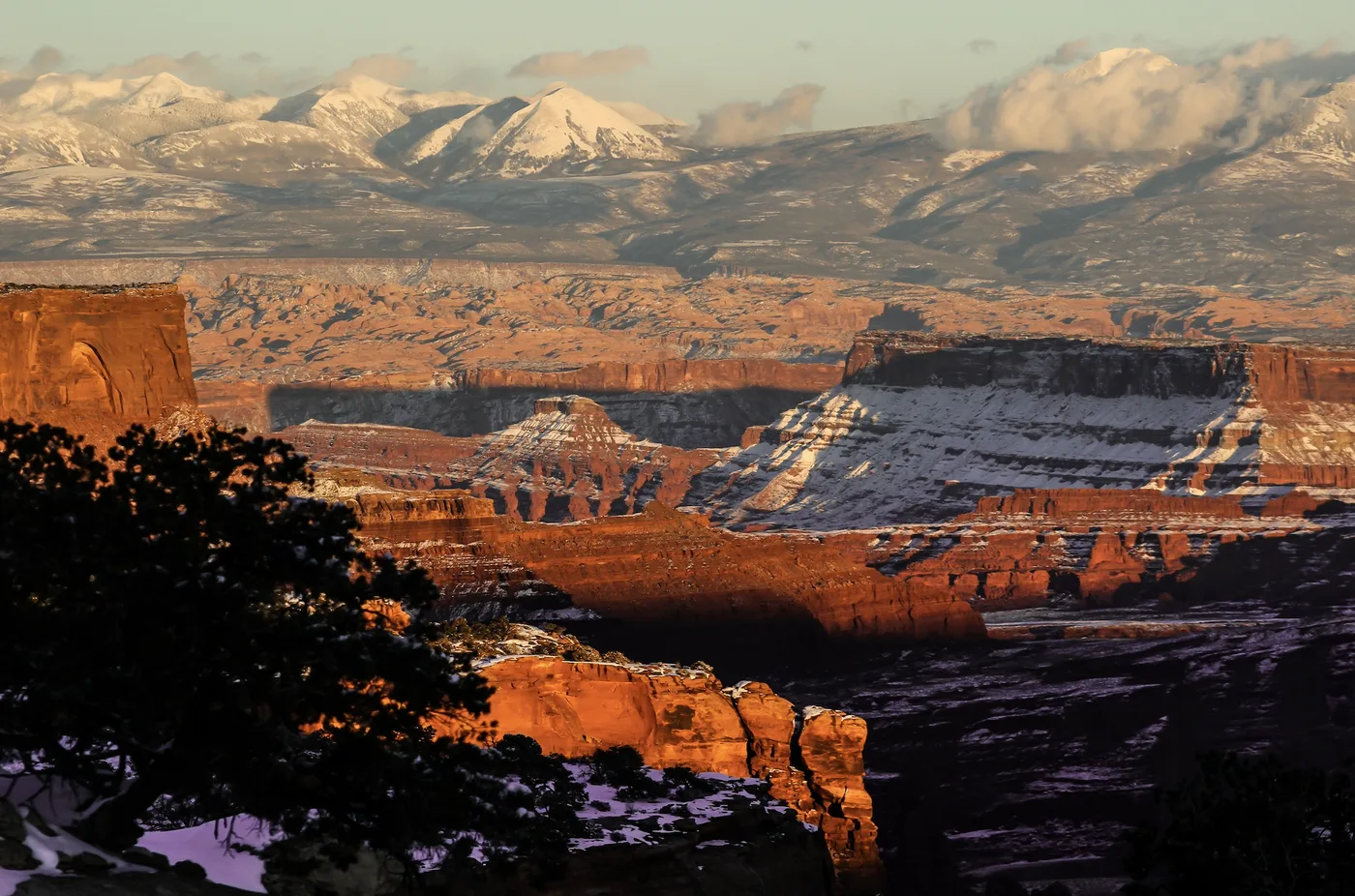
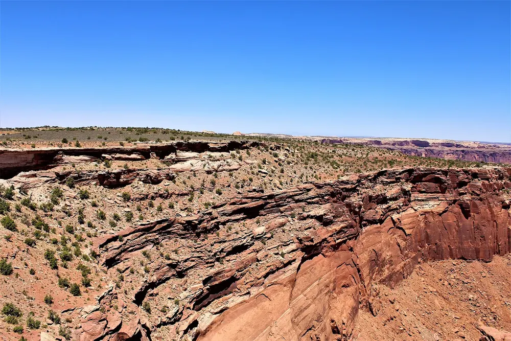
Buck Canyon Overlook One of the stops between Mesa Arch and Grand View Point, looking east across the canyon steps to the La Sal Mountains.
Add to your Canyonlands National Park visit Open in OpenStreetMap ↗ Location source ↗
38.34596, -109.86037
All places Photo: Myrabella ↗ · CC BY-SA 4.0 ↗
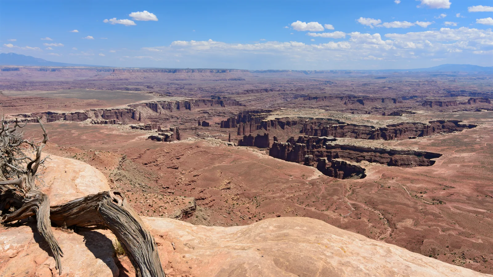
Grand View Point Overlook The southern end of the scenic drive. The rim trail is 2.9 km (1.8 mi) long and takes about an hour and a half.
The southern end of the mesa, and the view that explains this park.
Trail 2.9 km (1.8 mi) there and back
Duration about 1.5 hours
Location end of the scenic drive
Note construction work in late summer and early autumn 2026 Add to your Canyonlands National Park visit Open in OpenStreetMap ↗ Location source ↗
38.31012, -109.85684
All places Photo: John Manard ↗ · CC BY-SA 2.0 ↗
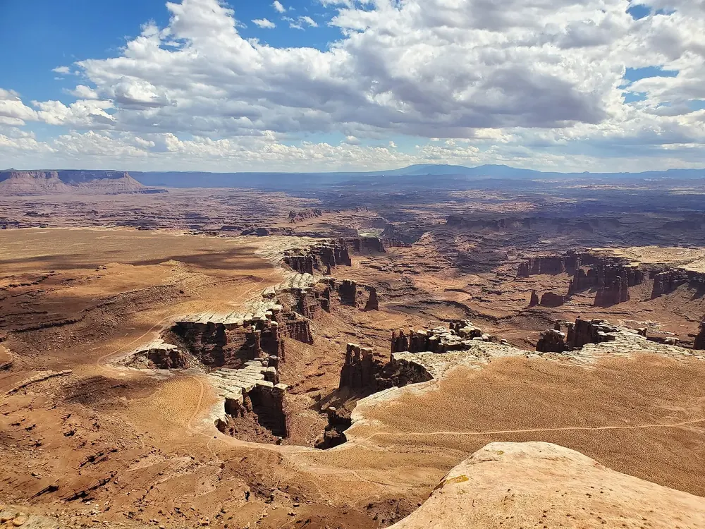
White Rim Overlook Facing east, with views of the Colorado River and Monument Basin. Best in the late afternoon; the trailhead car park is very small.
Add to your Canyonlands National Park visit Open in OpenStreetMap ↗ Location source ↗
38.32291, -109.84963
All places Photo: Juozas Rimas ↗ · CC BY 2.5 ↗
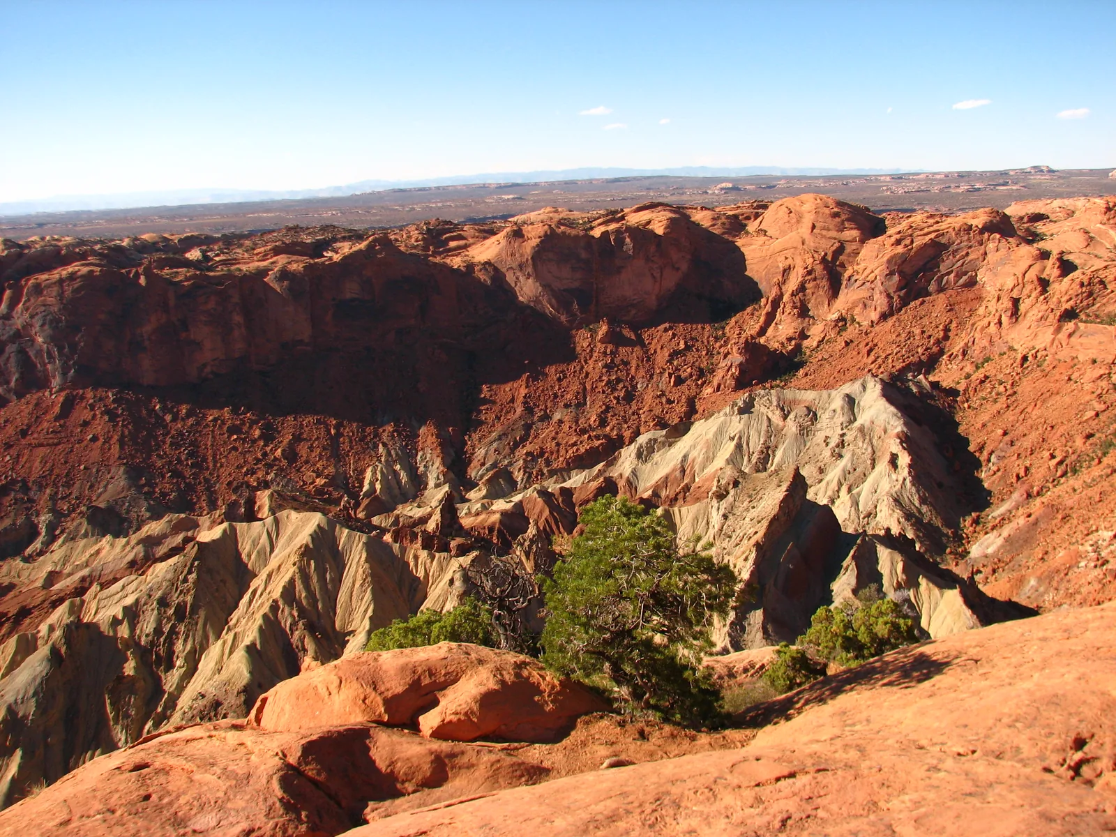
Upheaval Dome A circular structure of contorted rock layers at the northern end of the road. The short, steep trail ends at the first viewpoint.
A circle of contorted layers at the northern end of the road, and two viewpoints over it.
First viewpoint 1 km (0.6 mi), about 30 minutes
Second viewpoint 1.5 km (0.9 mi) further
Elevation change 30 m (100 ft) to the first viewpoint
Location northern end of the scenic drive Add to your Canyonlands National Park visit Open in OpenStreetMap ↗ Location source ↗
38.43695, -109.92900
All places Photo: G. Edward Johnson ↗ · CC BY 4.0 ↗
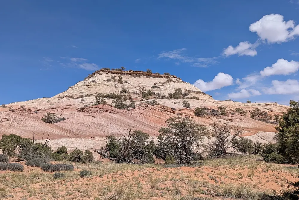
Aztec Butte The trail forks: right to the top of the butte, left below the rim to two structures built by Ancestral Puebloans. Both branches involve scrambling over bare rock.
Add to your Canyonlands National Park visit Open in OpenStreetMap ↗ Location source ↗
38.39731, -109.87471
All places Photo: G. Edward Johnson ↗ · CC BY 4.0 ↗
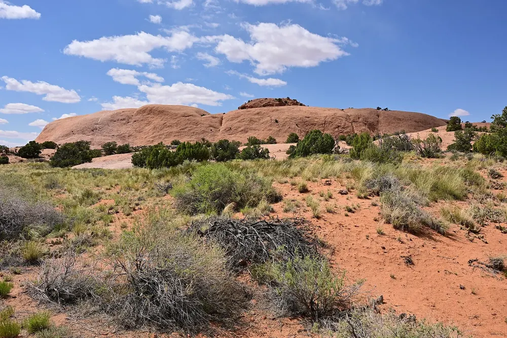
Whale Rock A climb up the flank of a sandstone dome with a wide view across the district. Steep drop-offs without railings.
Add to your Canyonlands National Park visit Open in OpenStreetMap ↗ Location source ↗
38.42943, -109.91494
All places Photo: Clyde Charles Brown ↗ · CC BY-SA 4.0 ↗
Murphy Point A longer trail across the mesa top, past a historic stock corral, with views of Candlestick Tower, the Green River and the White Rim Road.
Add to your Canyonlands National Park visit Open in OpenStreetMap ↗ Location source ↗
38.34839, -109.87655
All places Photo: Greg Willis from Denver, CO, usa ↗ · CC BY-SA 2.0 ↗
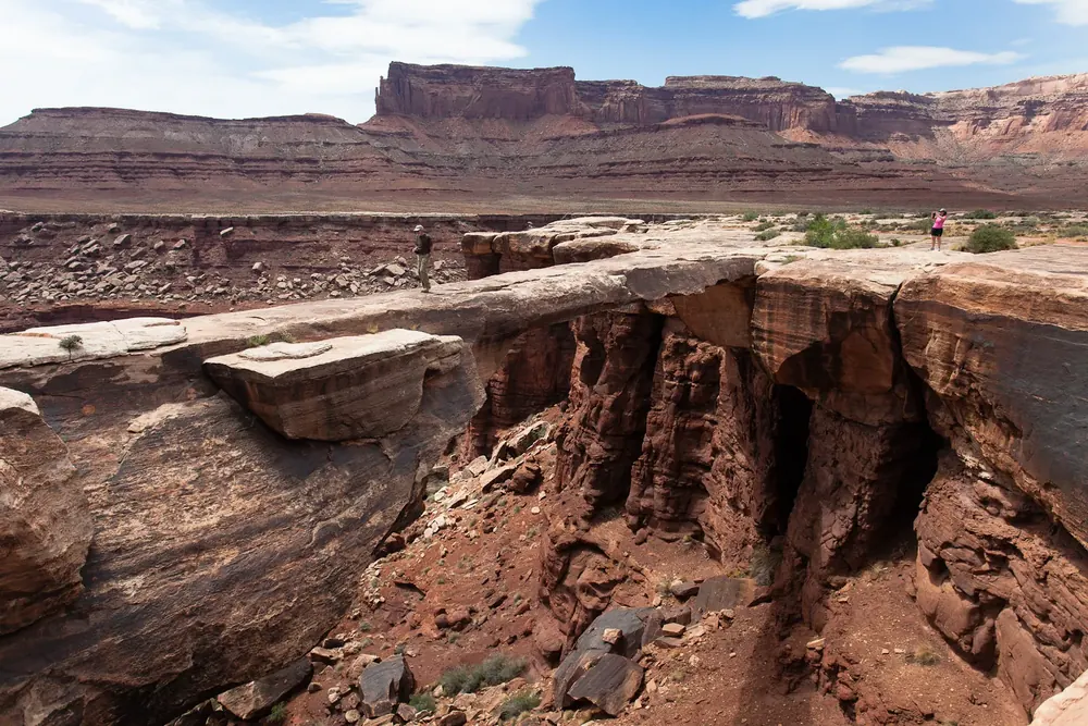
Musselman Arch A narrow stone bridge below the mesa top, reached only via the Shafer Trail and the White Rim Road. Walking on the arch is prohibited.
Add to your Canyonlands National Park visit Open in OpenStreetMap ↗ Location source ↗
38.43590, -109.76973
All places Photo: National Park Service (NPS / Chris Wonderly) ↗ · Public domain ↗
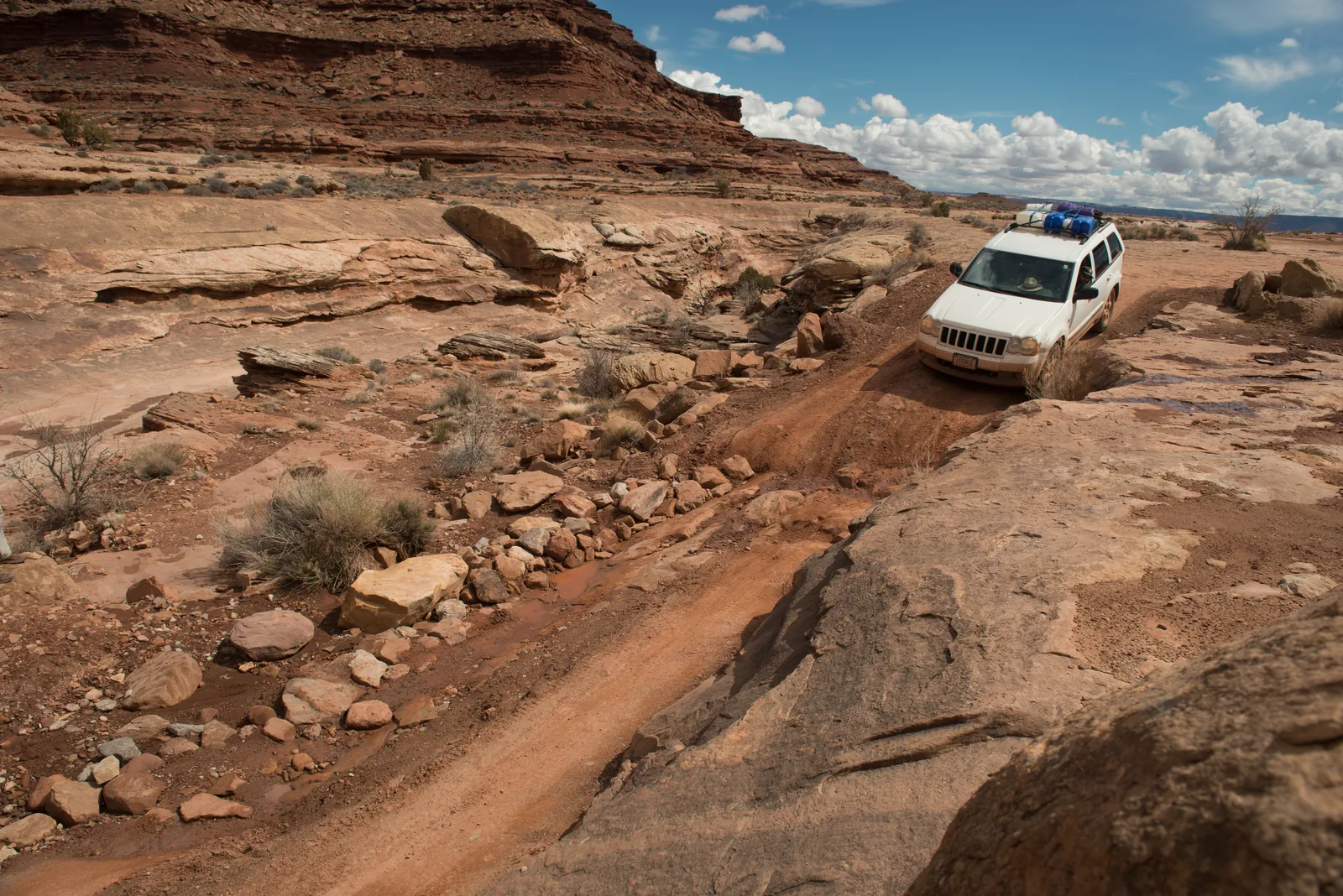
White Rim Road The loop road below the mesa top. Day trips need a permit, overnight trips a separate one; most groups take two to three days.
A hundred miles around the mesa, at 15 miles an hour.
Length 100 miles (161 km)
Usual duration 2 to 3 days
Vehicle four-wheel drive with low range, high clearance
Permit day-use or overnight permit Add to your Canyonlands National Park visit Open in OpenStreetMap ↗ Location source ↗
38.27475, -109.86321
All places Photo: Fabio Achilli from Milano, Italy ↗ · CC BY 2.0 ↗
Needles Visitor Center The starting point in the second district, about an hour and a half by car from Moab. Closed in winter.
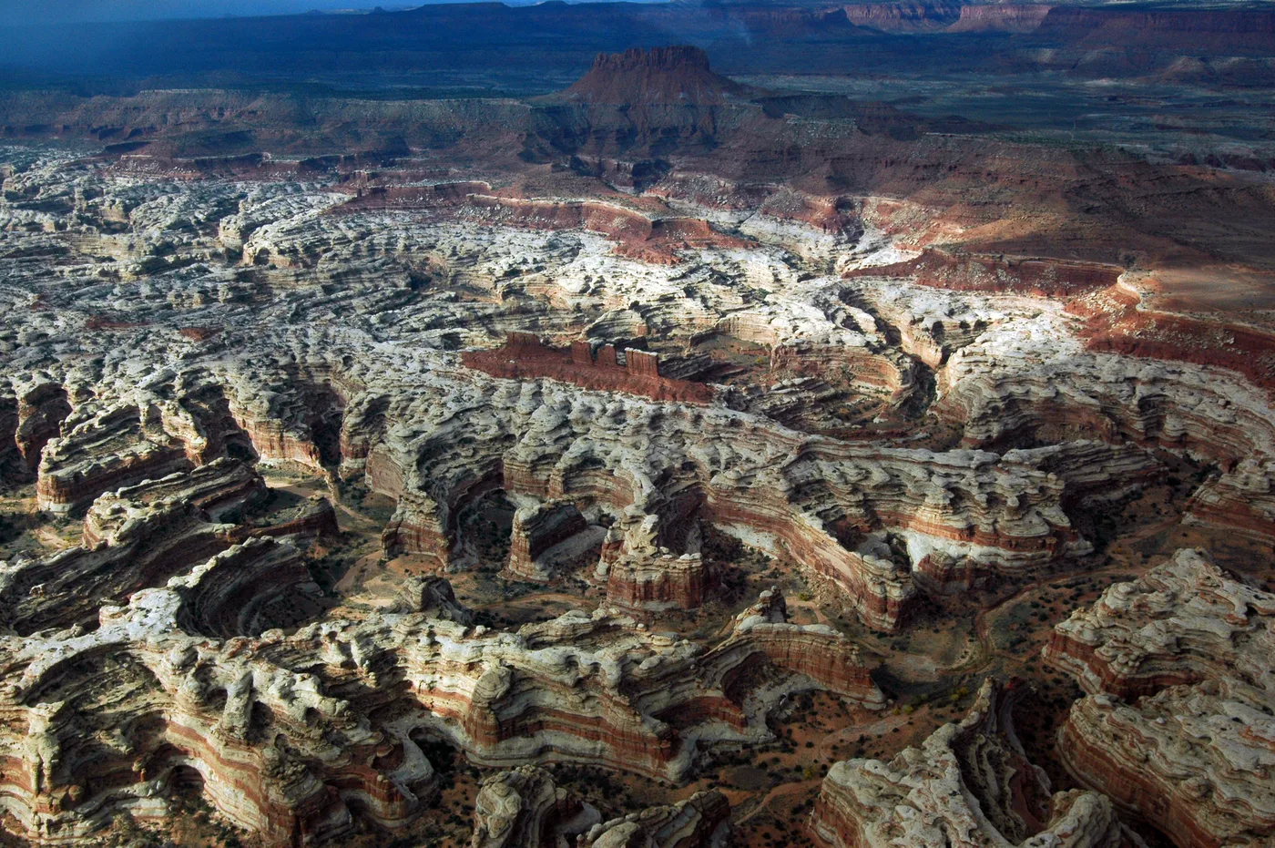
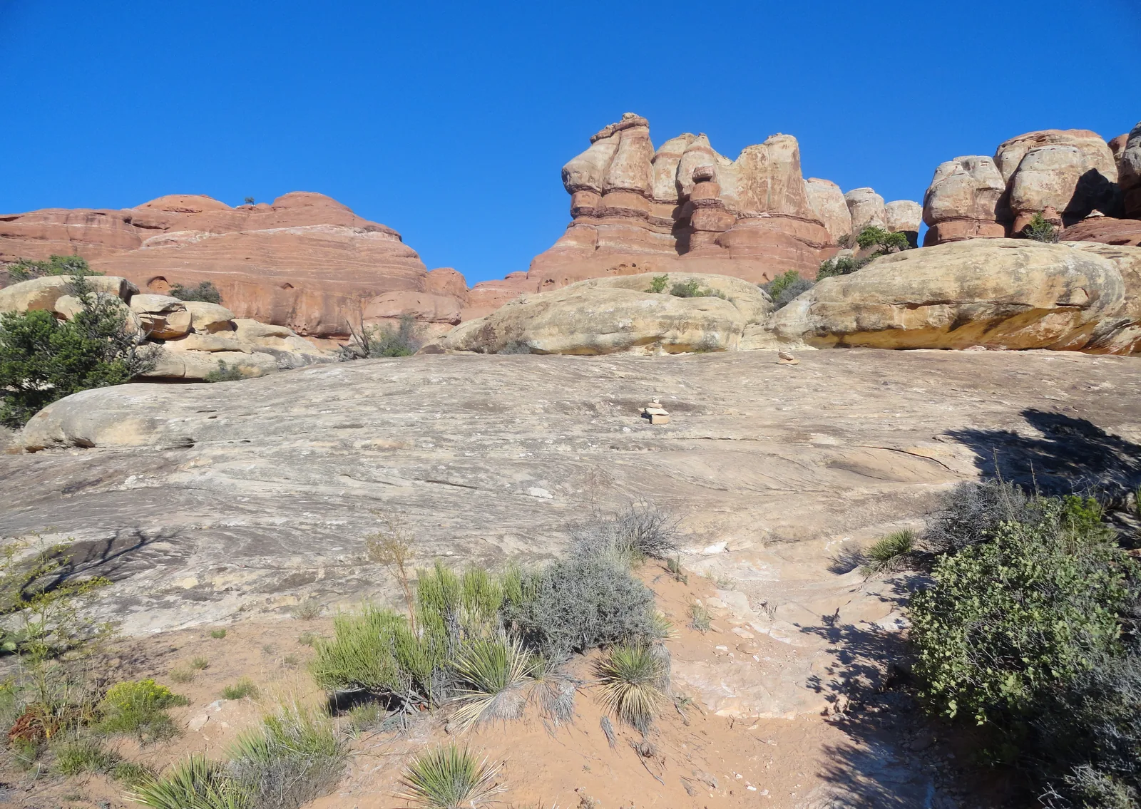
More than 60 miles of connected trails between banded spires, and hardly anyone on them.
Drive from Moab about 1.5 hours
Paved road 13 miles (21 km) there and back
Chesler Park 9.3 km (5.8 mi), 3 to 4 hours
Druid Arch 17.4 km (10.8 mi), 5 to 7 hours Add to your Canyonlands National Park visit Open in OpenStreetMap ↗ Location source ↗
38.16810, -109.75941
All places Photo: RuggyBearLA ↗ · CC BY 2.0 ↗
Big Spring Canyon Overlook The end of the 13-mile (21 km) scenic drive in the Needles. The trail to Confluence Overlook starts here.
Add to your Canyonlands National Park visit Open in OpenStreetMap ↗ Location source ↗
38.17823, -109.81698
All places Photo: brewbooks from near Seattle, USA ↗ · CC BY-SA 2.0 ↗
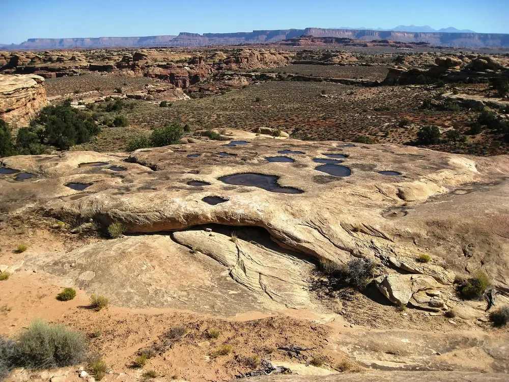
Pothole Point A short walk over uneven rock to potholes where whole communities of life appear after rain. Stepping into them or taking water from them is prohibited.
Add to your Canyonlands National Park visit Open in OpenStreetMap ↗ Location source ↗
38.17131, -109.80836
All places Photo: G. Edward Johnson ↗ · CC BY 4.0 ↗
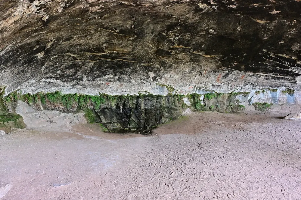
Cave Spring A historic cowboy camp and rock art, reached via two ladders. About 45 minutes.
Add to your Canyonlands National Park visit Open in OpenStreetMap ↗ Location source ↗
38.15782, -109.75418
All places
The Needles Campground 26 sites with running water, fire rings and toilets. Some can be reserved, the rest are first-come, first-served.
Add to your Canyonlands National Park visit Open in OpenStreetMap ↗ Location source ↗
38.14522, -109.80197
All places Photo: Ken Lund from Reno, Nevada, USA ↗ · CC BY-SA 2.0 ↗
Elephant Hill The starting point for Chesler Park and Druid Arch, and the start of one of the most technically difficult 4WD roads in the park.
Add to your Canyonlands National Park visit Open in OpenStreetMap ↗ Location source ↗
38.14169, -109.82760
All places Surroundings Photo: Fabio Achilli from Milano, Italy ↗ · CC BY 2.0 ↗
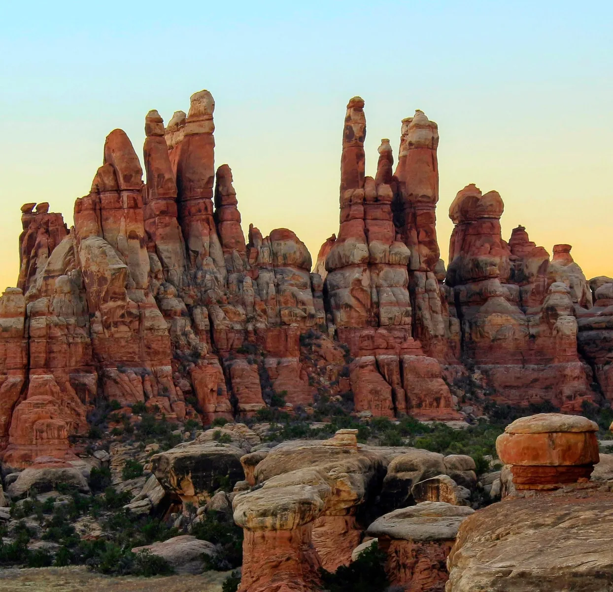
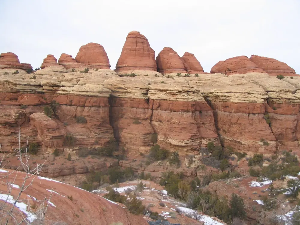
Chesler Park An open meadow ringed by banded sandstone spires. The viewpoint is 9.3 km (5.8 mi) there and back.
Add to your Canyonlands National Park visit Open in OpenStreetMap ↗ Location source ↗
38.10878, -109.84925
All places Photo: Dan Nevill ↗ · CC BY 2.0 ↗
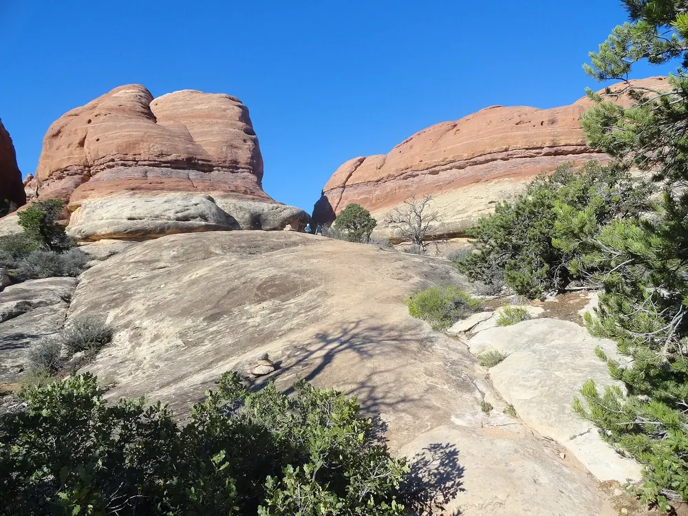
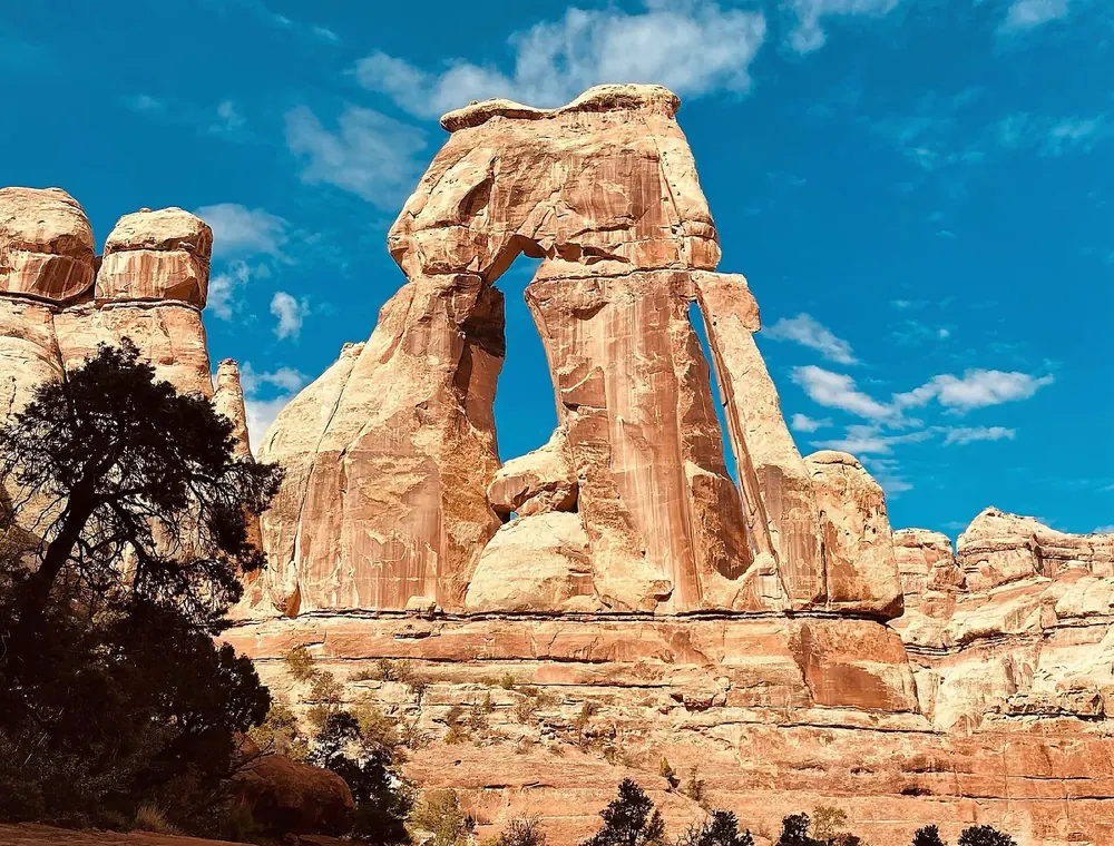
Druid Arch At the head of Elephant Canyon; the last 400 m (0.25 mi) involve a ladder and scrambling. Five to seven hours.
Add to your Canyonlands National Park visit Open in OpenStreetMap ↗ Location source ↗
38.08846, -109.83184
All places
Confluence Overlook The view of the confluence of the Green River and the Colorado, 1,000 ft (305 m) below the rim. Open, dry terrain without shade.
Add to your Canyonlands National Park visit Open in OpenStreetMap ↗ Location source ↗
38.18189, -109.88099
All places
Hans Flat Ranger Station The only staffed station in the most remote district. Open daily all year; it can only be reached on unpaved roads.
Add to your Canyonlands National Park visit Open in OpenStreetMap ↗ Location source ↗
38.25509, -110.17985
All places Surroundings Photo: CanyonlandsNPS ↗ · Public Domain ↗
Horseshoe Canyon Trailhead The starting point for the descent to the Great Gallery. The access road from Highway 24 requires high clearance.
Add to your Canyonlands National Park visit Open in OpenStreetMap ↗ Location source ↗
38.46544, -110.18954
All places Photo: Surfsupusa at English Wikipedia ↗ · CC BY 3.0 ↗
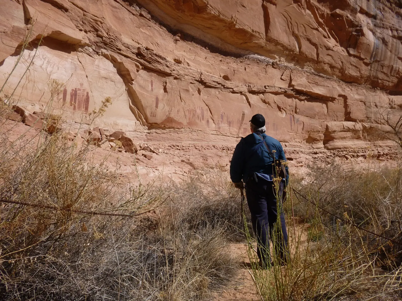
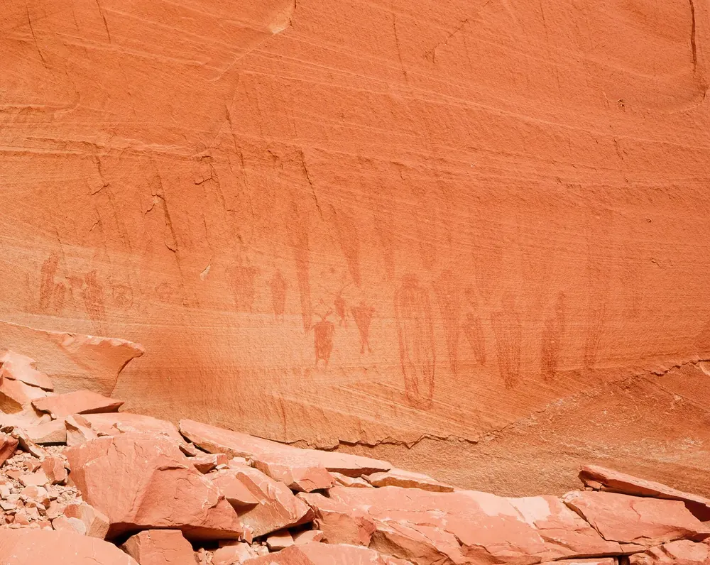
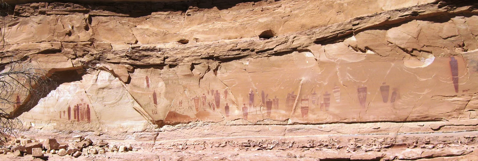
Great Gallery Life-size paintings on the canyon wall. Ranger-guided walks run on most Saturdays in April, May, September and October.
Life-size figures on a canyon wall: one of the best-known rock art sites in North America.
Trail 11.2 km (7 mi) there and back
Duration 4 to 5 hours
Descent 780 ft, about 237 m
Ranger-guided walk usually Saturdays in April, May, September, October Add to your Canyonlands National Park visit Open in OpenStreetMap ↗ Location source ↗
38.44703, -110.21300
All places
The Doll House A group of banded towers above the Colorado River, reached only on multi-day 4WD trips or from the river.
Add to your Canyonlands National Park visit Open in OpenStreetMap ↗ Location source ↗
38.15555, -109.94907
All places Photo: Pedro Szekely from Los Angeles, USA ↗ · CC BY-SA 2.0 ↗
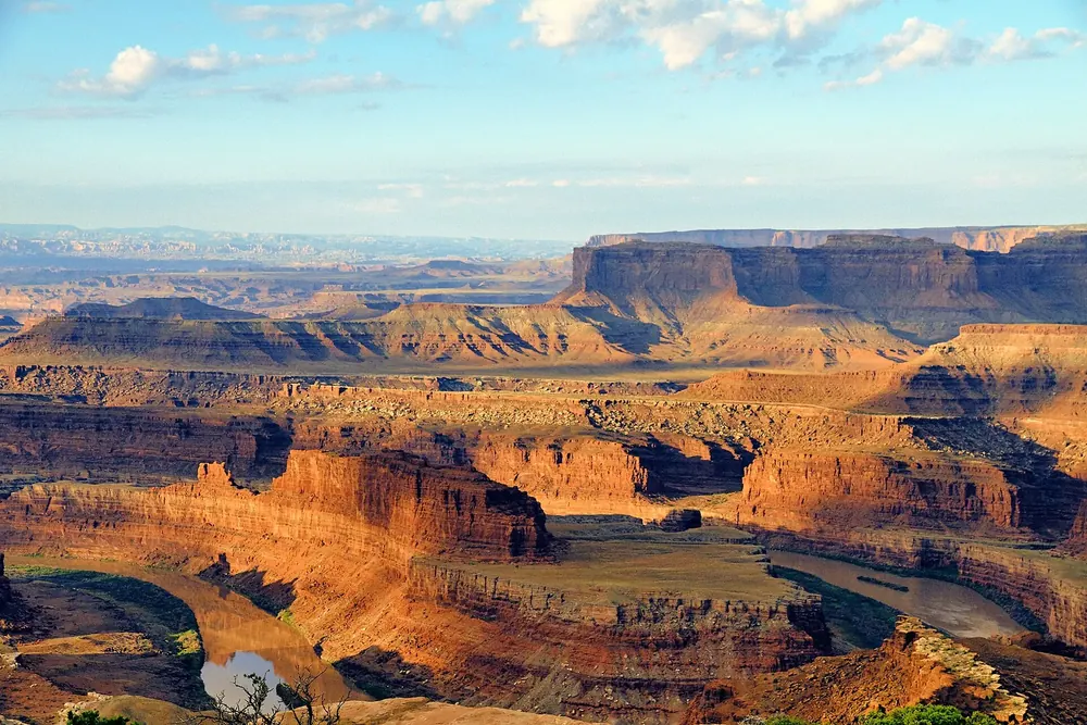
Dead Horse Point State Park On the same access road as Island in the Sky, but owned by the State of Utah. Separate admission; the national park pass is not valid there.
Add to your Canyonlands National Park visit Open in OpenStreetMap ↗ Location source ↗
38.51422, -109.73877