

Iguazú National Park: landscape and origins
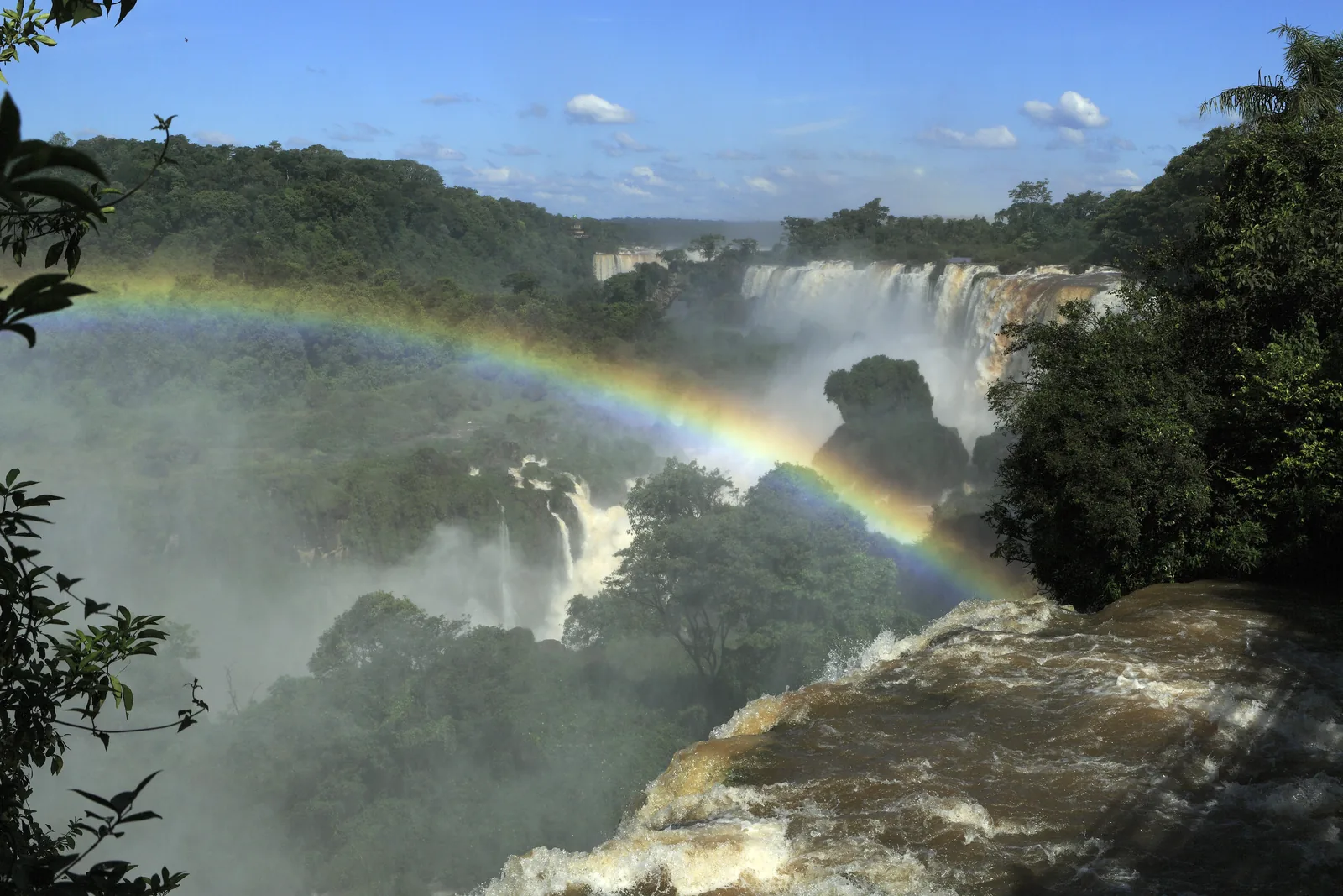
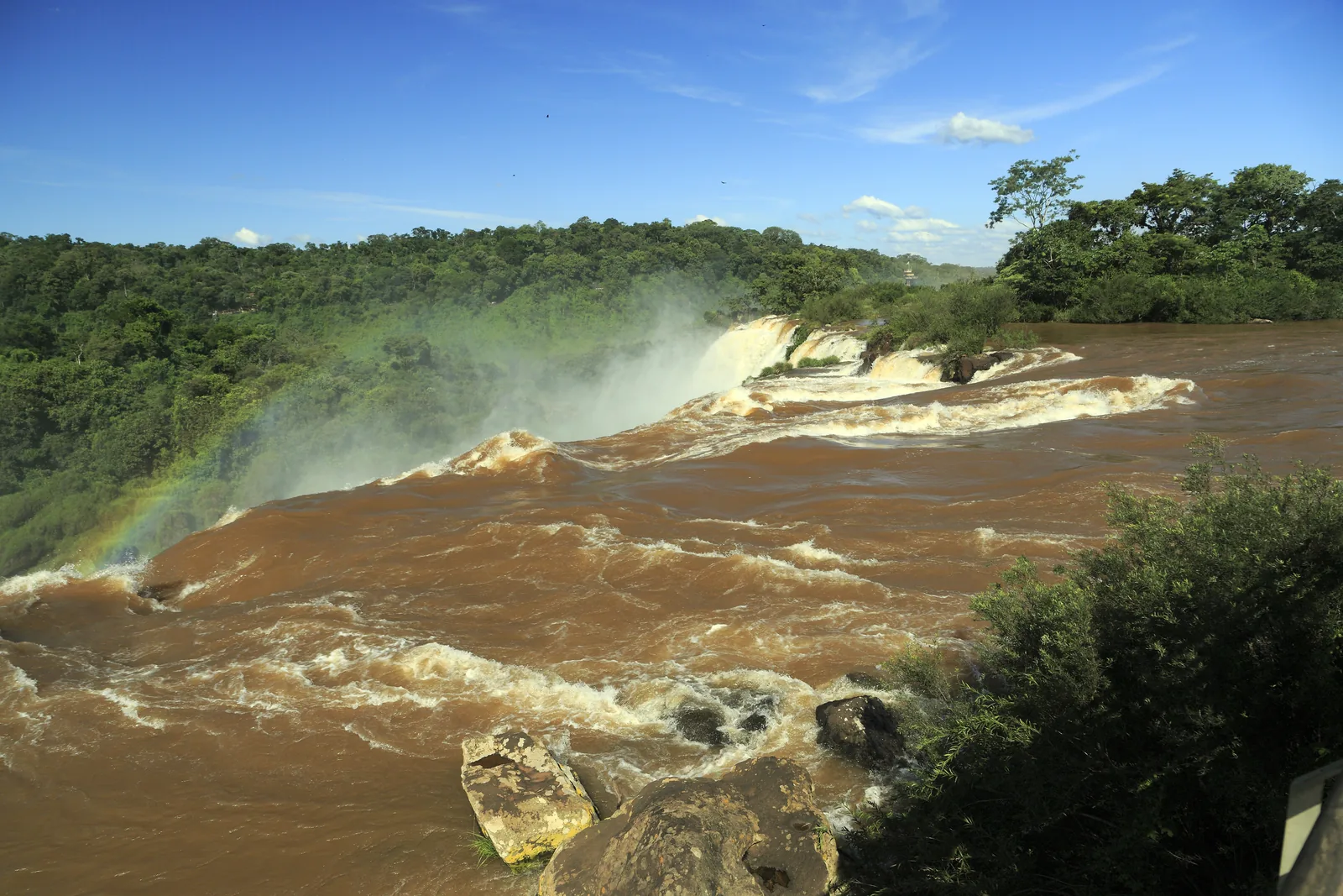
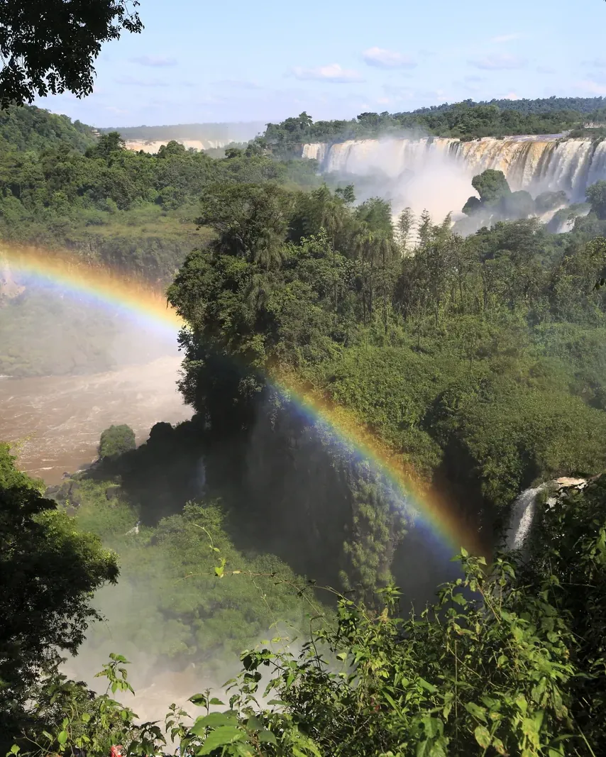
The Iguazú is a river that is wider than some lakes above the falls – and has carved the gorge it plunges into itself.
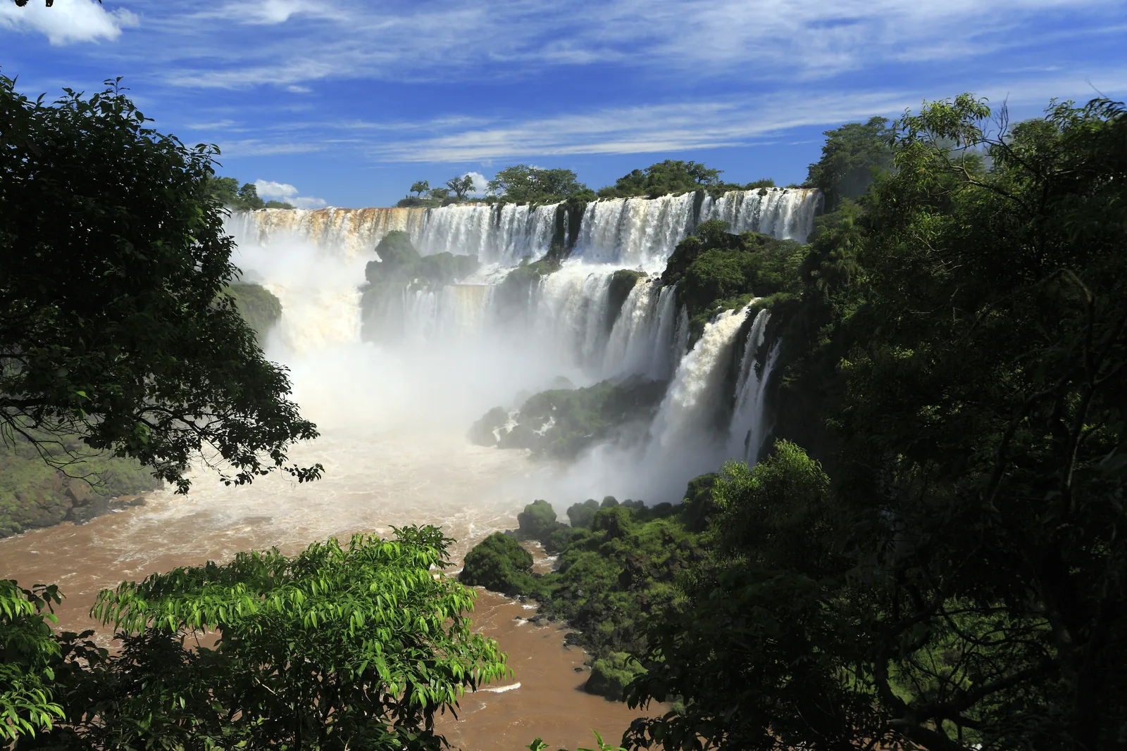
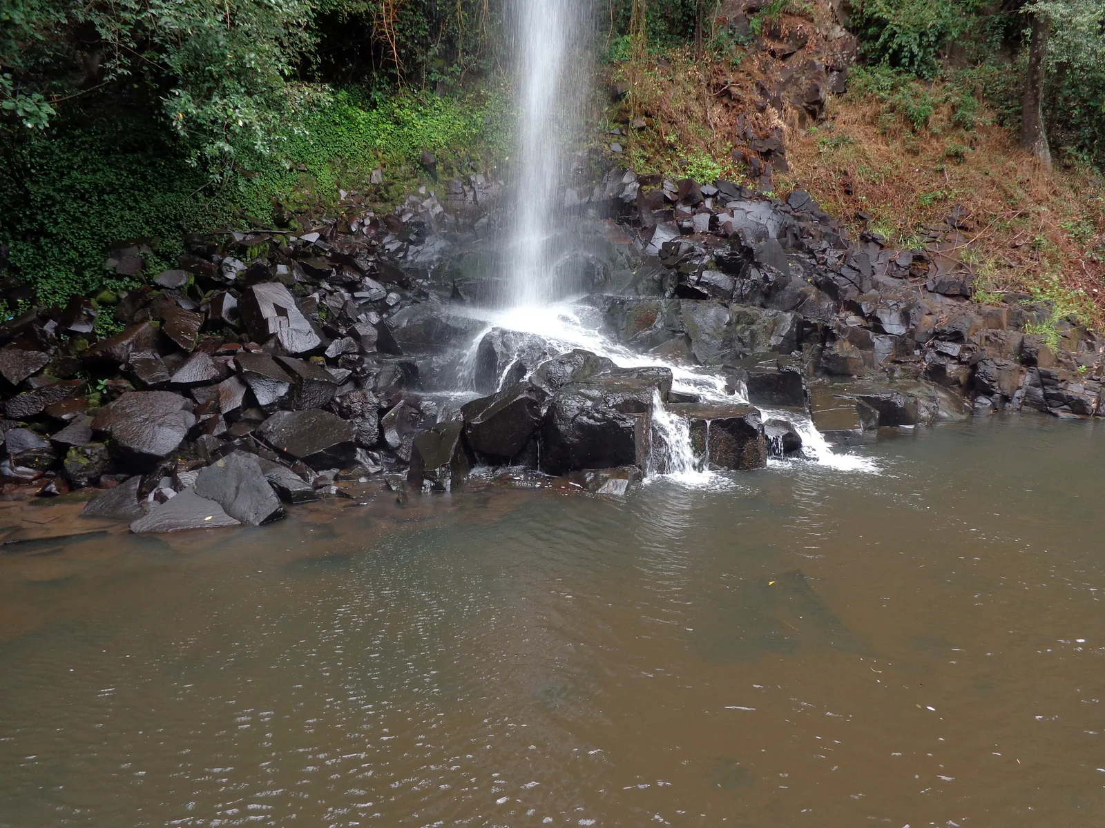
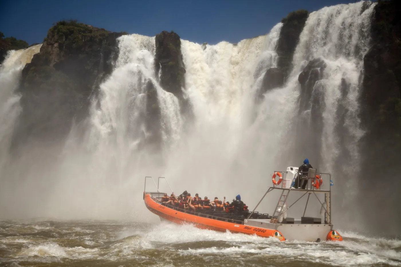
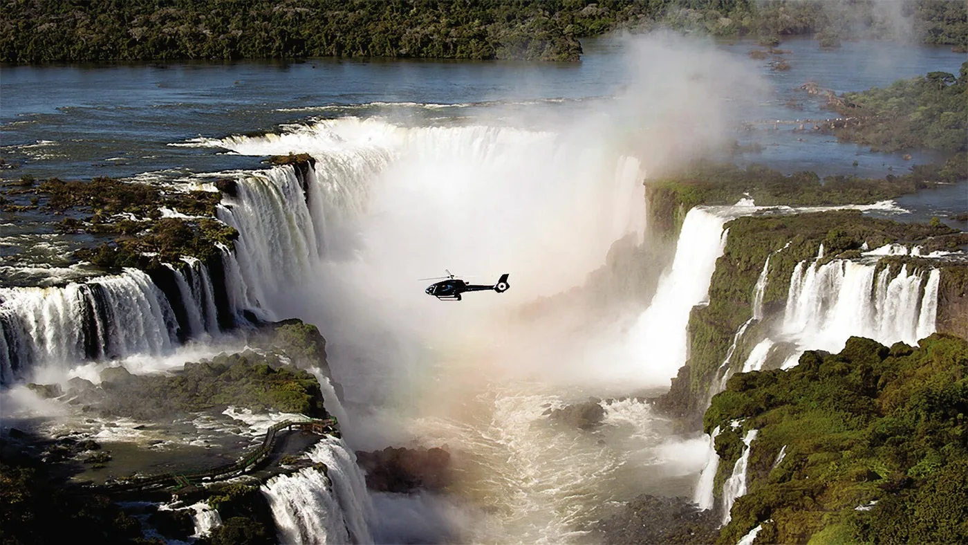
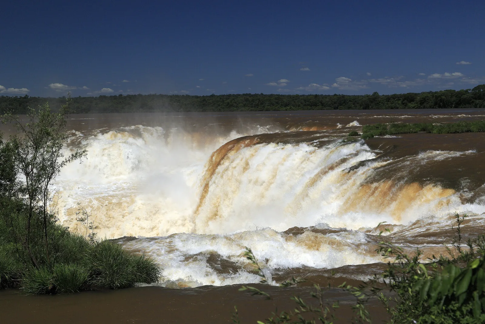
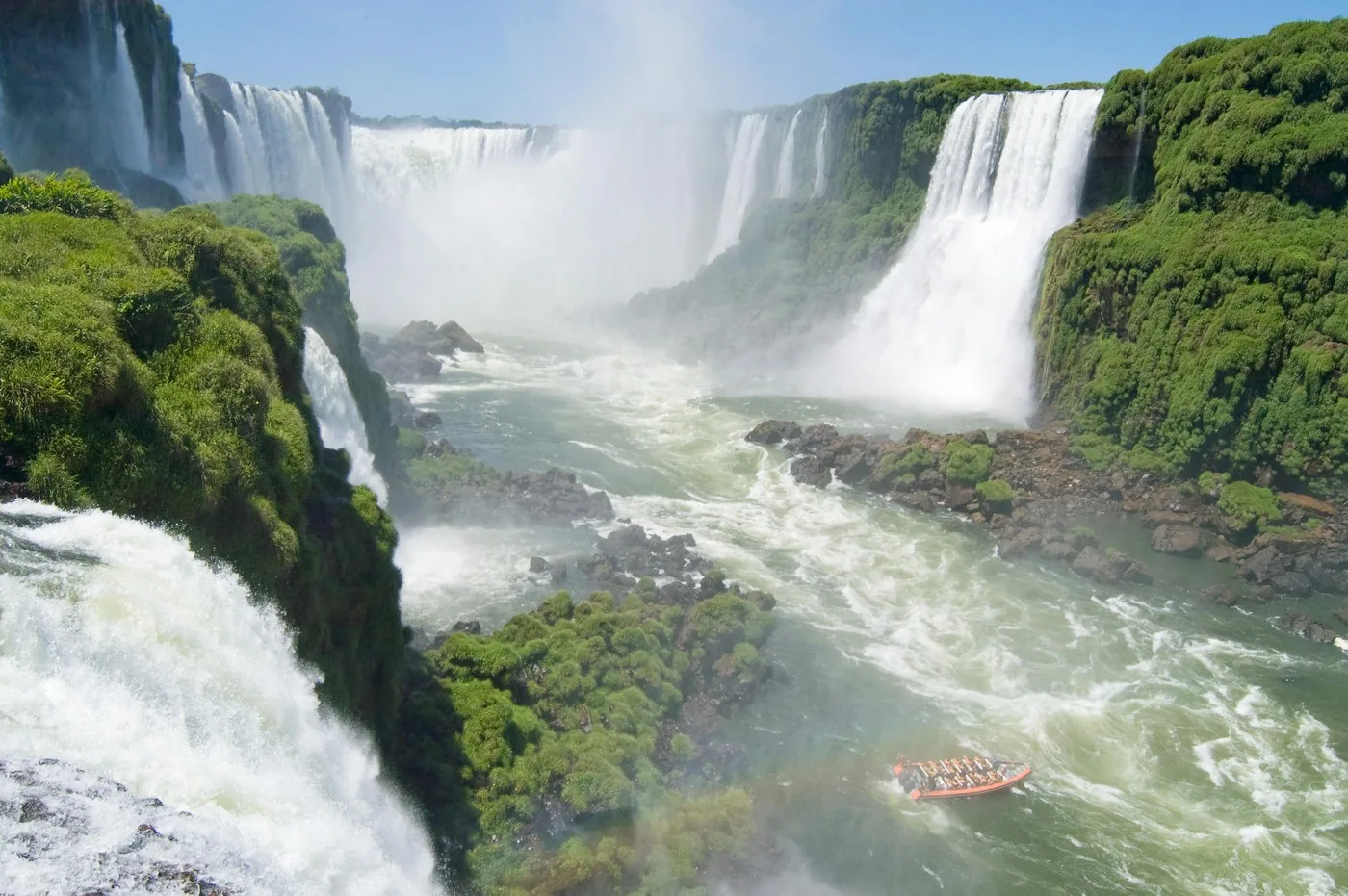
Before the Iguazú goes over the edge, according to the parks authority it flows 1,500 metres wide between islands and rocks. Then it drops up to 80 m (262 ft) into a gorge it has washed out itself and continues to the Paraná. The name comes from Guaraní and means “big water”.
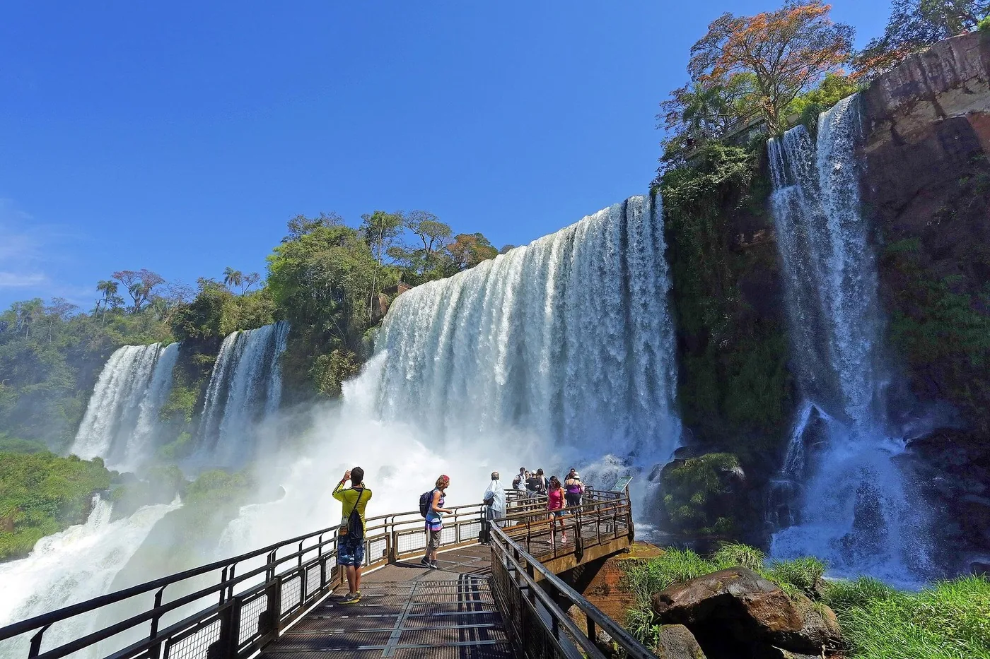
The border between Argentina and Brazil follows the river. In Argentina walkways lead above and below the falls; from Brazil you look across the river at the panorama. Each country protects its side as a separate national park.
According to the operator, the first European at the falls was Álvar Núñez Cabeza de Vaca in 1542. In 1902 the government sent the landscape architect Carlos Thays to survey the falls; in 1934 the park was created together with the national parks administration itself, as one of the country's first two.
How much water falls depends on rain in southern Brazil. To keep floods from damaging the walkways to the Devil's Throat, the operator dismantled their decks and railings as a precaution in August 2026.
APN: protected area fact sheet (area, law, falls, emblem) ↗
The park in numbers
- Area
- 67,698 ha
- Founded
- 1934, Law 12,103
- UNESCO World Heritage
- 1984
- Natural wonder
- 2011
- Height of the falls
- up to 80 m (262 ft)
- River width above the falls
- 1,500 m
- Waterfalls
- 275
- Bird species
- more than 450
- Neighbouring park
- Iguaçu (Brazil)