

Phang Nga Bay: landscape and origins
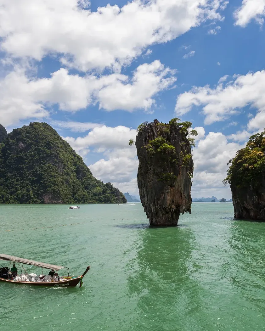
A wetland of international importance that most visitors know only as the backdrop of a film.
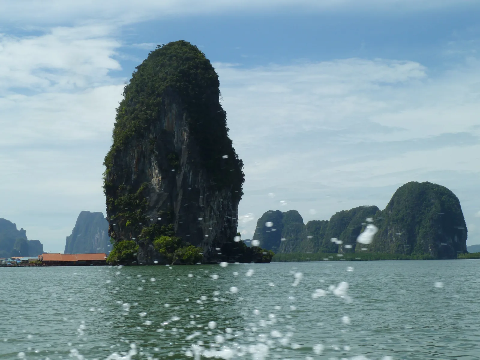
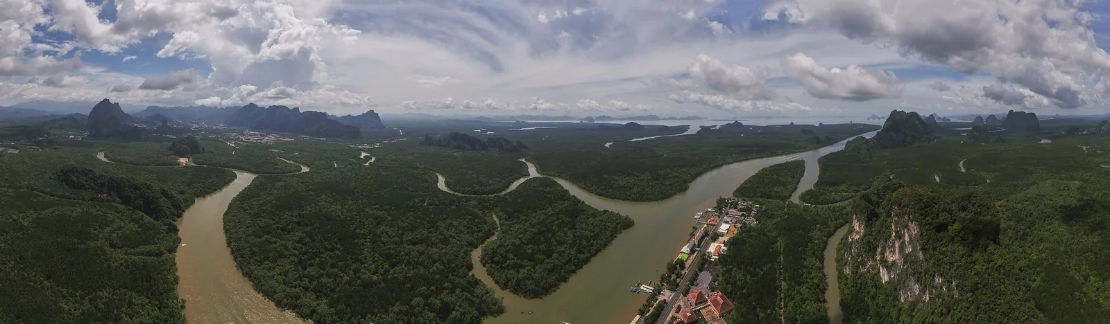
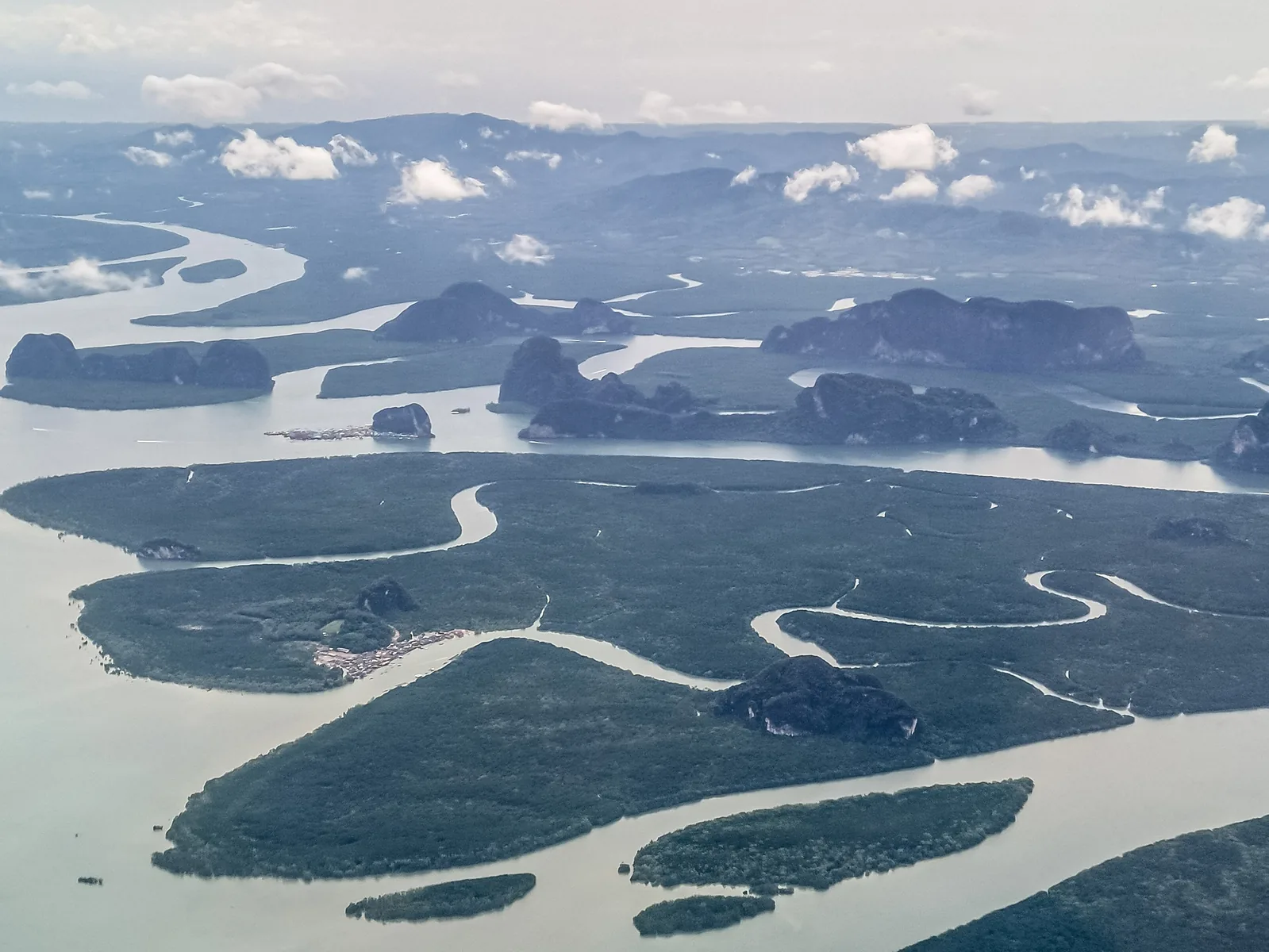
Phang Nga Bay is shallow. Between the islands lie intertidal forests, mudflats and seagrass beds; along their edges grow at least 28 species of mangrove, according to the Ramsar information sheet. That is why the national park has carried the title of a wetland of international importance since 14 August 2002, with an area of 40,000 hectares (98,842 acres).
The information sheet counts at least 88 bird species, including the globally threatened Malaysian plover and Asian dowitcher, 82 fish species and 17 mammals, among them dugong and white-handed gibbon. In the villages on the water, people live from fishing and from thatching with nipa palm fronds.
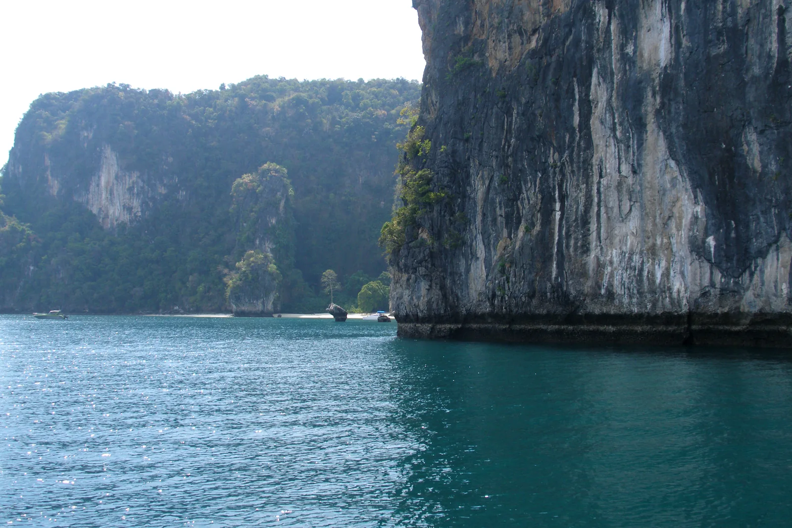
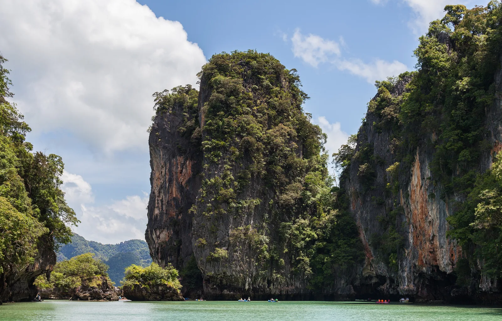
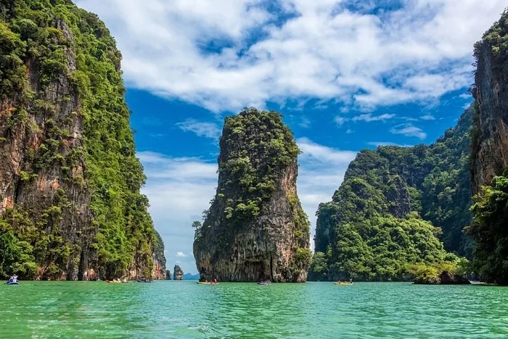
The limestone islands are a habitat of their own. In early 2026 the park authority reported that its botanists had found Coleus tomentifolius again on the rock walls of the bay and in neighbouring Khao Sok, a plant nobody had seen in the wild since 1896.
Ramsar Sites Information Service: Pang Nga Bay Marine National Park, Site 1185 ↗
The park in numbers
- Official name
- Ao Phang Nga
- Province
- Phang Nga
- Ramsar site
- No. 1185, since 14 August 2002
- Area per Ramsar
- 40,000 ha (98,842 acres)
- Islands
- 42
- Mangrove species
- at least 28
- Bird species
- at least 88
- Fee group
- 3: 300 baht for foreigners