All places Photo: Kemal Kaya (maxmajestic) ↗ · CC BY-SA 2.5 ↗
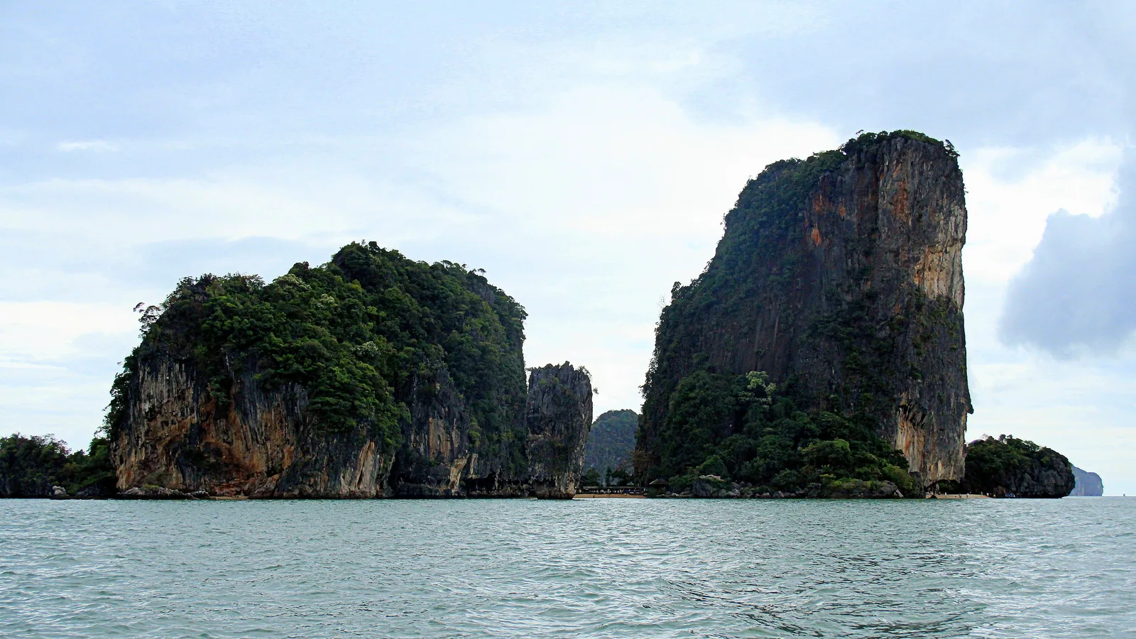
Khao Phing Kan Two limestone rocks leaning against each other, which is exactly what the name says. Landing point for most tours.
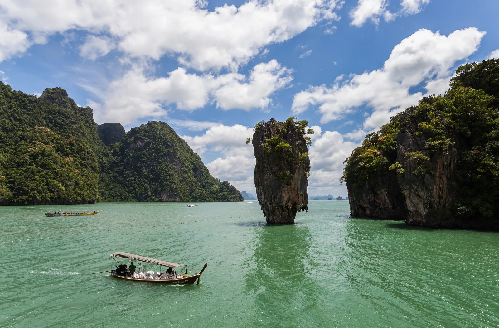
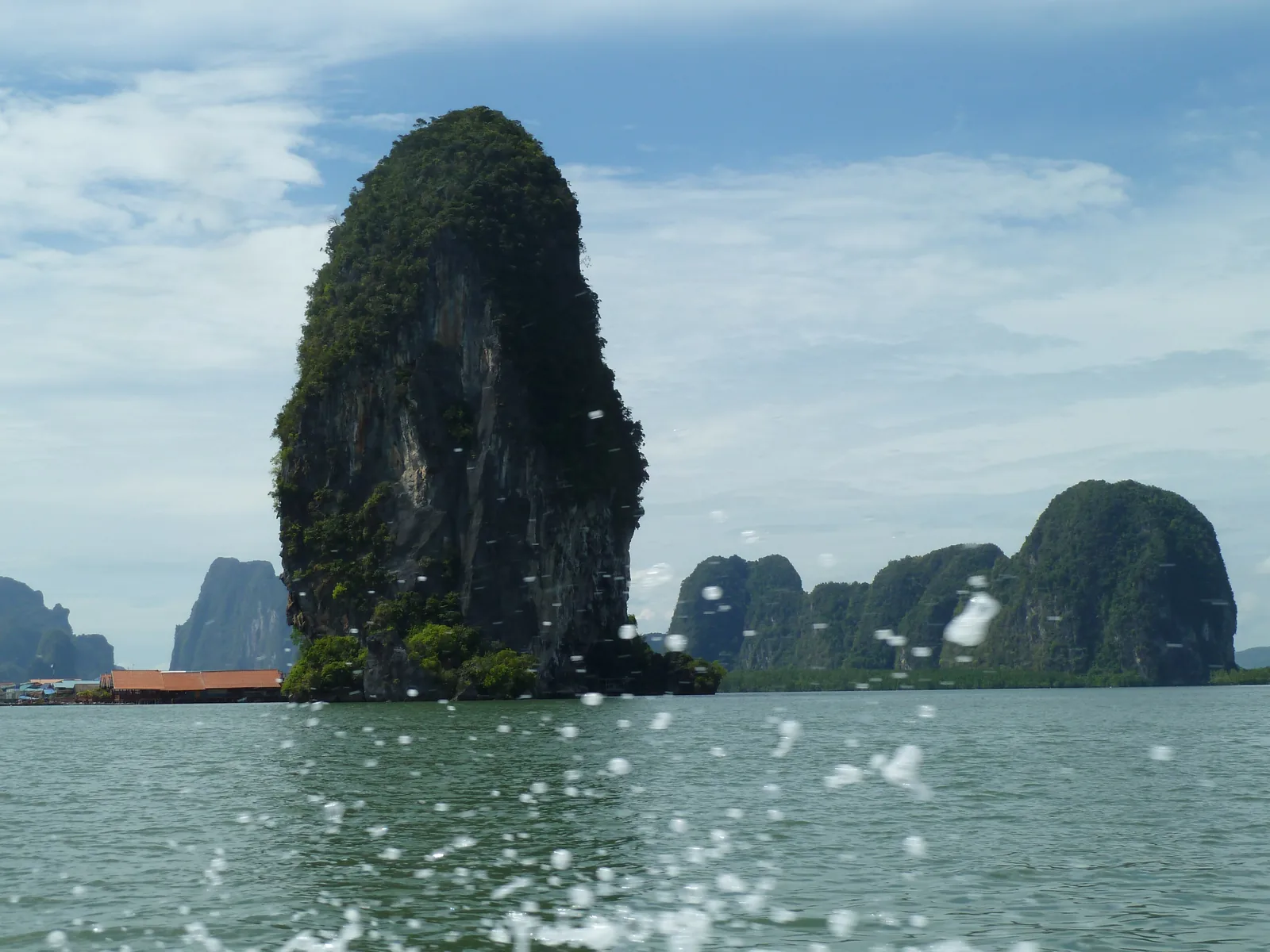
Two rocks leaning together and a nail in the water.
Known as James Bond Island
Film "The Man with the Golden Gun", 1974
Ko Tapu from the shore or a boat only Add to your Phang Nga Bay visit Open in OpenStreetMap ↗ Location source ↗
8.27458, 98.50087
All places
Ko Tapu The slender rock tower that is thinner at the bottom than at the top. You only see it from the shore or a boat.
Add to your Phang Nga Bay visit Open in OpenStreetMap ↗ Location source ↗
8.27542, 98.50058
All places Photo: Deror Avi ↗ · CC BY-SA 3.0 ↗
Ko Panyi A fishing village on stilts in front of a limestone wall; lunch stop on many tours.
A village on stilts in the middle of the national park.
Location in the north of the bay
Surroundings mangroves
For tours lunch stop Add to your Phang Nga Bay visit Open in OpenStreetMap ↗ Location source ↗
8.33576, 98.50323
All places
Ko Panyi Pier Boats moor here at the stilt village.
Add to your Phang Nga Bay visit Open in OpenStreetMap ↗ Location source ↗
8.33553, 98.50478
All places Photo: Diego Delso ↗ · CC BY-SA 3.0 ↗
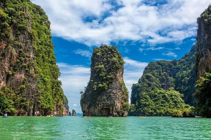
Ko Panak You paddle through caves into the island's interior, to lagoons and mangroves.
Caves, mangroves and several hongs on one island.
Experience canoeing through caves
Inside lagoons and mangroves
Approach first stop on many tours Add to your Phang Nga Bay visit Open in OpenStreetMap ↗ Location source ↗
8.18359, 98.49058
All places Photo: Vyacheslav Argenberg ↗ · CC BY 4.0 ↗
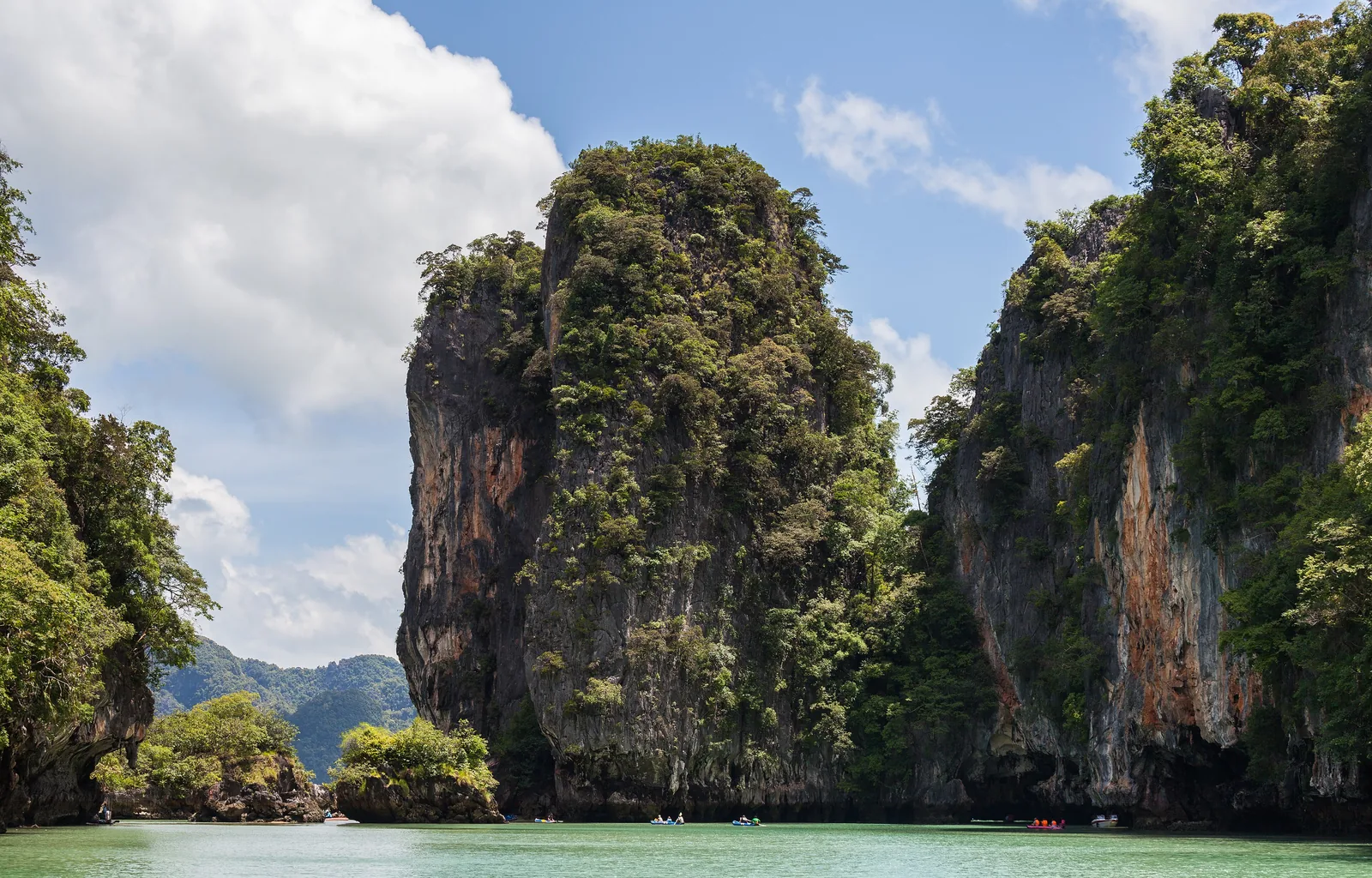
Ko Hong The name means "room island": a lagoon enclosed by rock on all sides.
The "room" in the rock: a lagoon behind a cave.
Hong Thai for "room"
Access by canoe only
Neighbour Ko Na Khae Add to your Phang Nga Bay visit Open in OpenStreetMap ↗ Location source ↗
8.22484, 98.50049
All places
Ko Na Khae Swimming stop on some canoe tours, near Ko Hong.
Add to your Phang Nga Bay visit Open in OpenStreetMap ↗ Location source ↗
8.23380, 98.50390
All places
Ko Thalu and Tham Lot A group of islands west of Khao Phing Kan, with rock passages that canoes paddle through.
Add to your Phang Nga Bay visit Open in OpenStreetMap ↗ Location source ↗
8.30057, 98.49671
All places
Khao Khian The "painted mountain" near Ko Panyi with rock paintings on the wall.
Add to your Phang Nga Bay visit Open in OpenStreetMap ↗ Location source ↗
8.34518, 98.50282
All places
Ao Phang Nga mangrove trail Boardwalk through the mangroves on the north shore of the bay, near Tha Dan Pier.
Add to your Phang Nga Bay visit Open in OpenStreetMap ↗ Location source ↗
8.40910, 98.50987
All places
Tha Dan Pier Departure point for longtail boats into the bay, not far from Phang Nga town.
Add to your Phang Nga Bay visit Open in OpenStreetMap ↗ Location source ↗
8.40098, 98.51324
All places
Ao Po Pier (Phuket) Most big-boat and canoe tours from Phuket into the bay start here.
Guided from here · Ad
Partner links: we may earn a commission if you book – at no extra cost to you. Thank you for supporting the atlas. Dates and prices with the provider.
Add to your Phang Nga Bay visit Open in OpenStreetMap ↗ Location source ↗
8.05932, 98.43626
All places
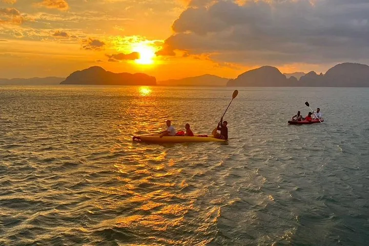
Samet Nang Chi A hill on the west shore of the bay overlooking the islands, popular at sunrise.
Add to your Phang Nga Bay visit Open in OpenStreetMap ↗ Location source ↗
8.23929, 98.43864
Locations verified from the linked original sources and OpenStreetMap. The map shows no trails or park boundaries; markers do not imply that access is permitted.
Map: © OpenStreetMap contributors, OpenMapTiles, OpenFreeMap. Elevation: Terrain Tiles (Mapzen, AWS Open Data); 3DEP, GMTED2010 and SRTM courtesy of the U.S. Geological Survey; EU-DEM (Copernicus, European Union); ETOPO1 (NOAA); ArcticDEM (NSF, DigitalGlobe); Geoscience Australia; Open Data Austria (DGM); Open Government Licence – Canada; INEGI; Land Information New Zealand; Kartverket; Environment Agency (UK).
Park photo: Photo: Diego Delso ↗ · CC BY-SA 3.0 ↗