National Parks Atlas
To the park
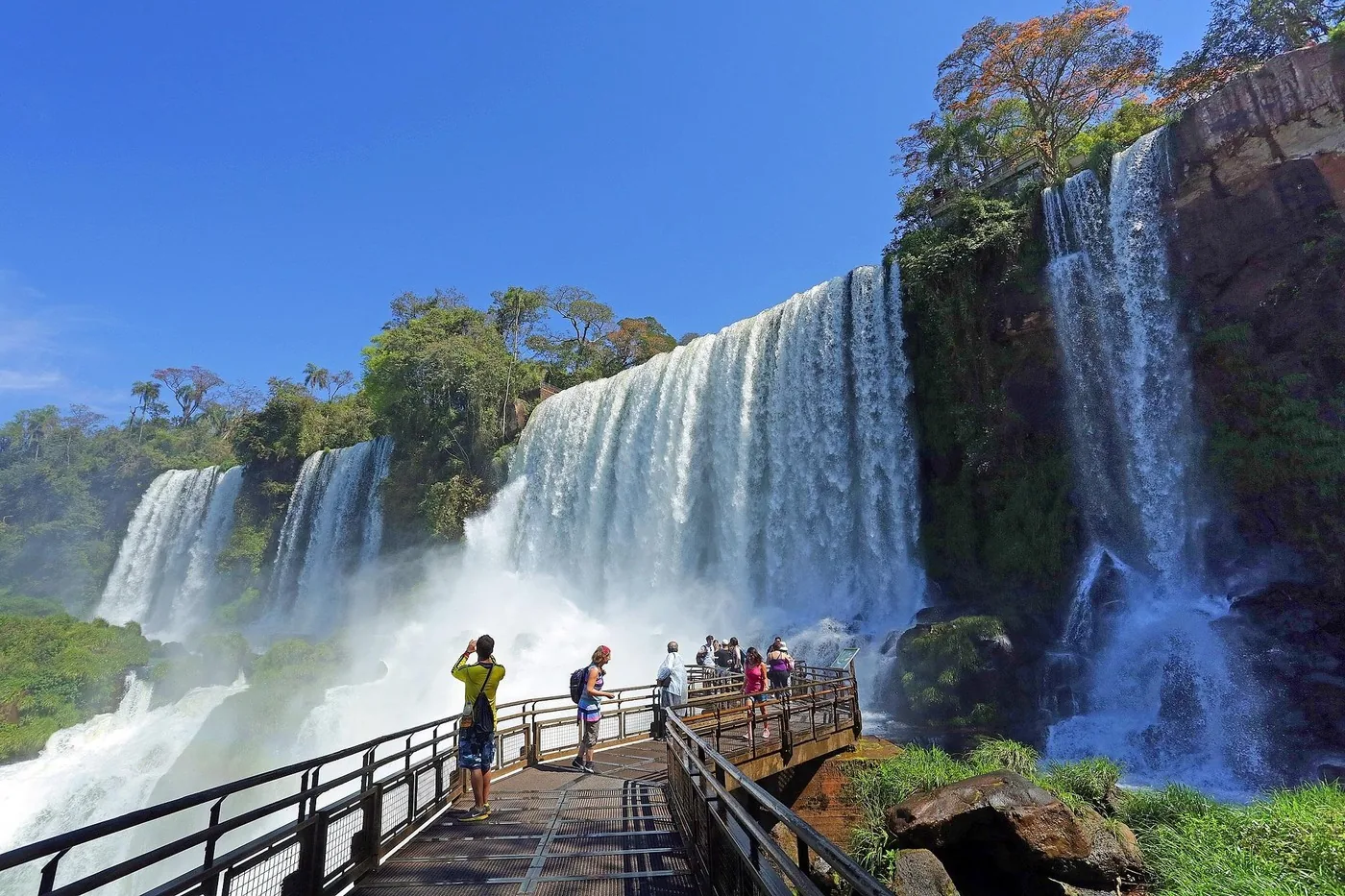
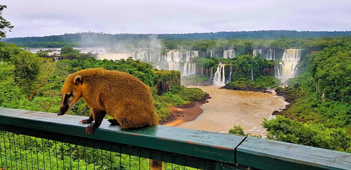
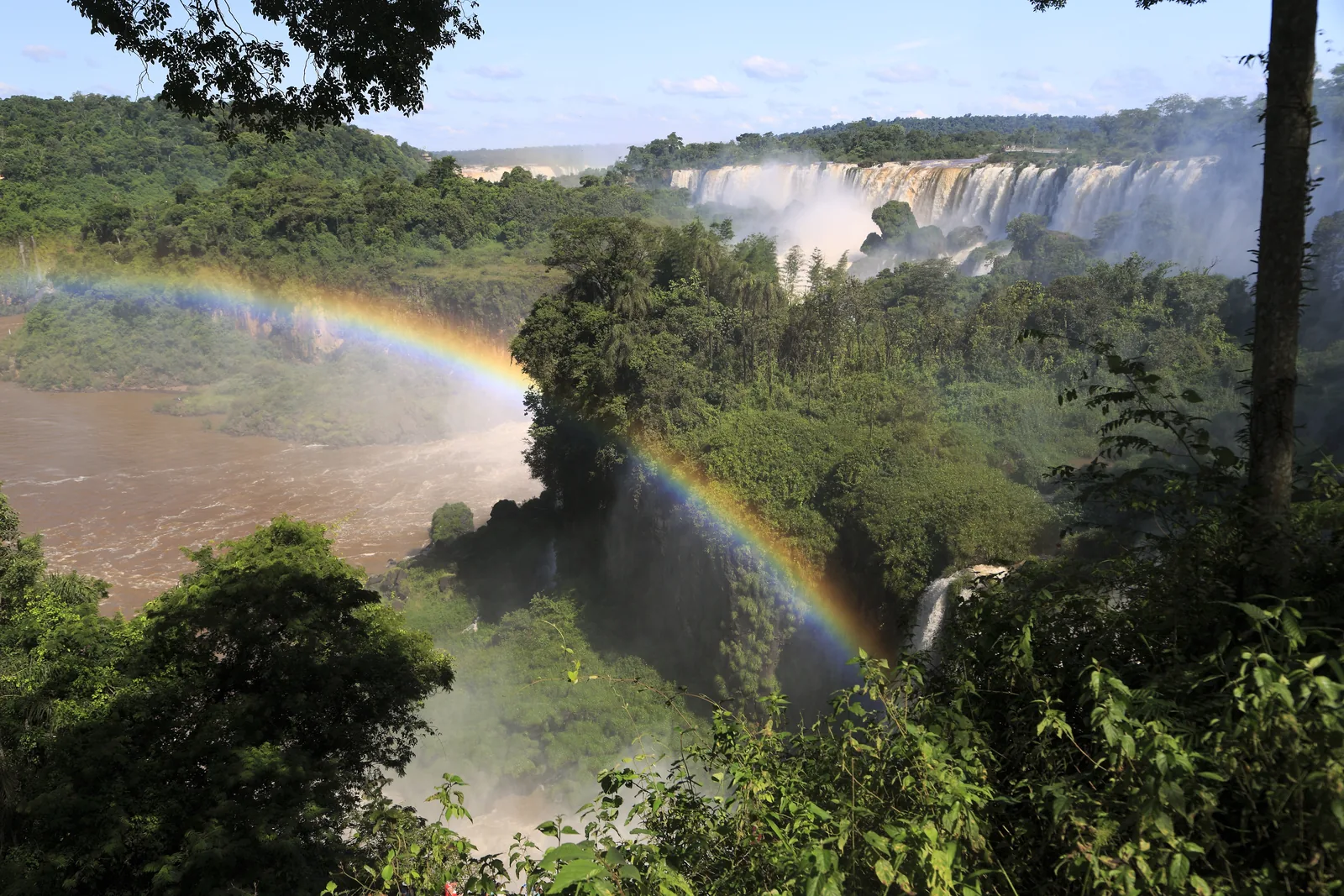
View from the Upper Circuit in Iguazú National Park across forested rocks to a long row of white waterfalls, with a rainbow over the gorge

Iguazú National Park: map

19 places with verified coordinates · 11 with photo

Bookable in the park · 5

Ad · partner links: we may earn a commission if you book – at no extra cost to you. Thank you for supporting the atlas. Offer details checked 4 Oct 2026; dates and prices with the provider.

Nature · Ticket office and barrier

Entrance to the Área Cataratas

Tickets are checked and parking is paid here. Ruta Nacional 101, kilometre 142.

Iguazu Falls tickets: 60,000 pesos, second day half price

60,000 pesos for foreign visitors

Since 1 June 2026 international visitors pay 60,000 Argentine pesos, residents of Argentina 25,000, residents of Misiones Province 8,000 and Argentine students 15,000. That makes Iguazú the most expensive national park in the country; Los Glaciares costs 50,000.

APN: fees for all national parks, Flexipass and annual pass (retrieved 4 Oct 2026) ↗

Iguazu Falls tickets: 60,000 pesos, second day half price

Parking and lockers

A car costs 12,500 pesos a day at the entrance, a motorbike 6,250, a minibus 18,750. A large locker costs 21,000 pesos, a small one 13,500; luggage and large bags are not allowed on many tours.

Iguazú Argentina S.A. (concessionaire): fees, parking, lockers, evening tours ↗

How to get there from Puerto Iguazú: 18 km to the entrance

By car

From Posadas via Ruta Nacional 12 and 101 it is 320 km (199 mi) to the entrance according to the parks authority. The car park is at the main entrance and charges a fee; bicycles must stay there.

APN: opening hours and getting there ↗

Open in OpenStreetMap ↗Location source ↗

-25.68702, -54.45563

Nature · Exhibition, 20 minutes

Yvyrá Retá visitor centre

Guaraní for “land of trees”: an exhibition on the forest, wildlife and cultures of the region, included in the ticket.

Open in OpenStreetMap ↗Location source ↗

-25.68242, -54.45381

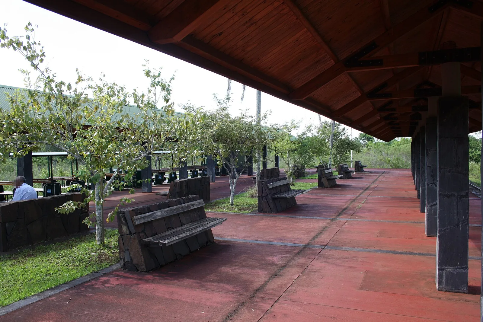
Covered platform of Estación Central in Iguazú National Park with red paving, wooden benches and a timber roof, trees and lawn alongside
Photo: Geogast ↗ · CC BY-SA 4.0 ↗

Nature · Train departure

Estación Central

First station of the Tren Ecológico de la Selva; the Macuco Trail starts just to the right.

Own page

Devil's Throat (Garganta del Diablo)

A horseshoe of water with a walkway ending at its rim – which after rain turns into a single brown cloud.

Status & routes

Rules: coatis, spray and the train timetable

Last train at 15:30

The train runs from 8:20 about every 30 minutes, every 15 in high season. The last departure towards Garganta is at 15:30, the last return at 17:30.

Iguazú Argentina S.A.: opening hours and train timetable ↗

Open in OpenStreetMap ↗Location source ↗

-25.67860, -54.45317

Arrival · Access to the circuits

Estación Cataratas

From here you reach the Upper and Lower Circuits; on foot also via the Sendero Verde.

Open in OpenStreetMap ↗Location source ↗

-25.68382, -54.44878

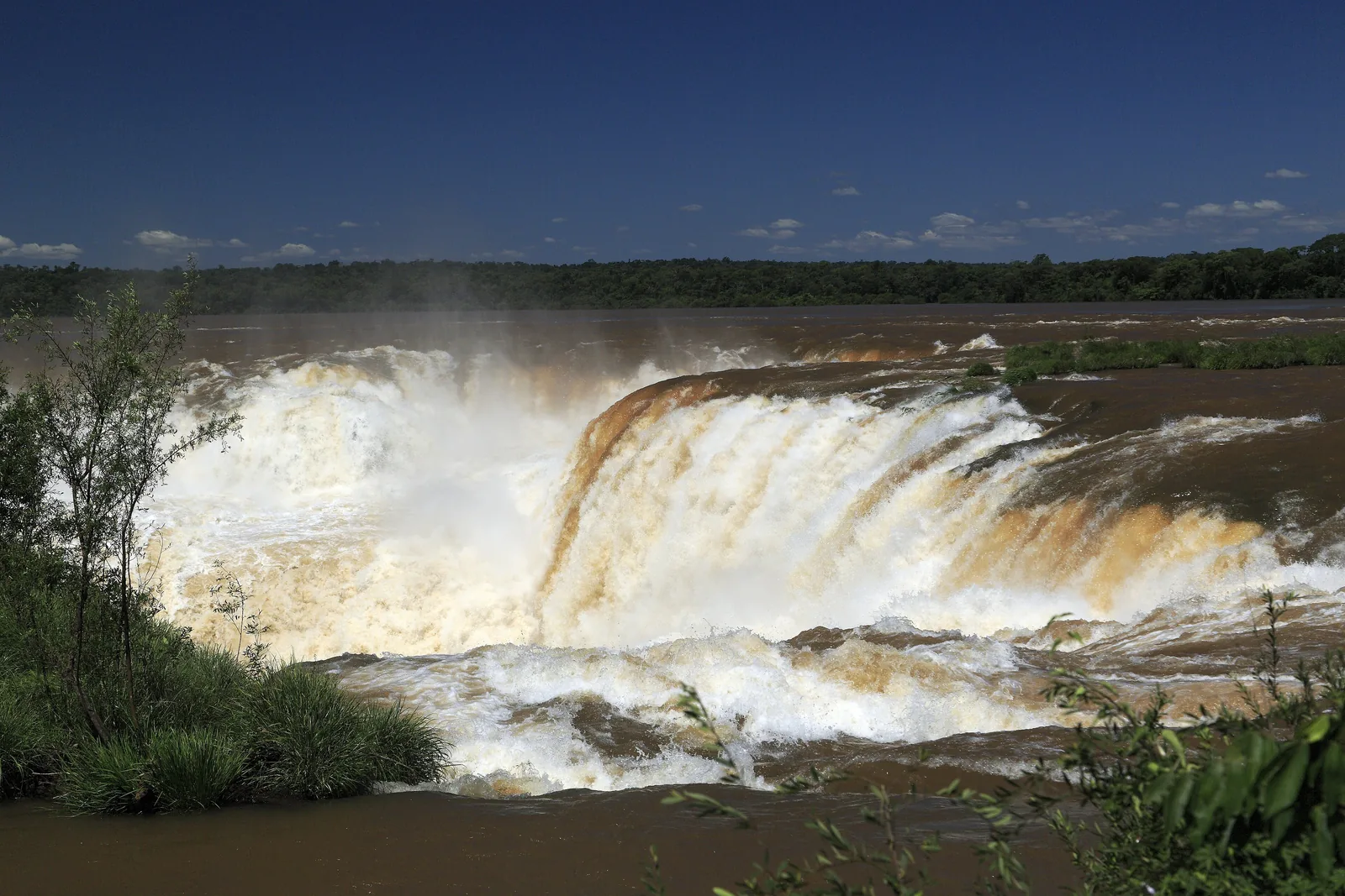
The Iguazú plunges with brown floodwater into the Devil's Throat, spray rising over the edge, the Argentine bank behind
Photo: Falk2 ↗ · CC BY-SA 4.0 ↗

Nature · End of the line

Estación Garganta del Diablo

The walkway to the Devil's Throat starts here; closed as a precaution since August 2026.

Own page

Devil's Throat (Garganta del Diablo)

A horseshoe of water with a walkway ending at its rim – which after rain turns into a single brown cloud.

Iguazú National Park entry, as of 4 Oct 2026
Visitors from abroad60,000 pesos
Residents of Argentina25,000 pesos
Residents of Misiones Province8,000 pesos

Status & routes

Guided from here · Ad

Partner links: we may earn a commission if you book – at no extra cost to you. Thank you for supporting the atlas. Dates and prices with the provider.

Open in OpenStreetMap ↗Location source ↗

-25.70142, -54.44488

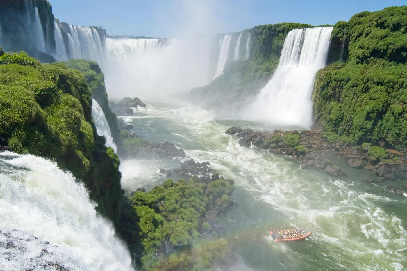
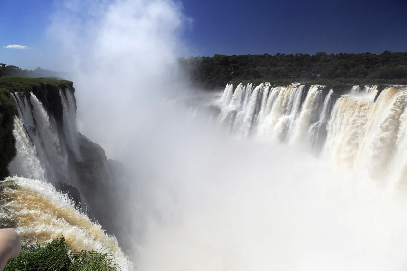
Spray rises from the horseshoe-shaped Devil's Throat in Iguazú National Park, with broad white waterfalls plunging over the edge on the right
Photo: Falk2 ↗ · CC BY-SA 4.0 ↗

Mountains & rock · Balcony over the Devil's Throat

Devil's Throat viewpoint

The end of the 1,100-metre walkway across the upper river, right at the edge of the largest group of falls.

Garganta del Diablo: the place where most of the water falls – and since August 2026 only visible from a distance.

Walkway
1,100 m
Return
2.2 km (1.4 mi)
Access
Train to Estación Garganta
Wheelchair accessible
yes
Status on 4 October 2026
closed
Closed since
3 August 2026

Own page

Devil's Throat (Garganta del Diablo)

A horseshoe of water with a walkway ending at its rim – which after rain turns into a single brown cloud.

Status & routes

Best time to visit: open all year, busiest in summer

Floods can close trails

After heavy rain in the catchment in southern Brazil the river rises fast. For September and October 2026 the operator expected high water levels because of El Niño and therefore closed the Devil's Throat as a precaution.

Iguazú Argentina S.A.: Devil's Throat closed, notice of 3 Aug 2026 ↗

Iguazu Falls trails, train and boat trips

Devil's Throat: 1,100-metre walkway

Across the upper river to the edge of the largest group of falls, without steps. Closed as a precaution since 3 August 2026; details on its own page.

Iguazú Argentina S.A.: Devil's Throat closed, notice of 3 Aug 2026 ↗

Open in OpenStreetMap ↗Location source ↗

-25.69555, -54.43739

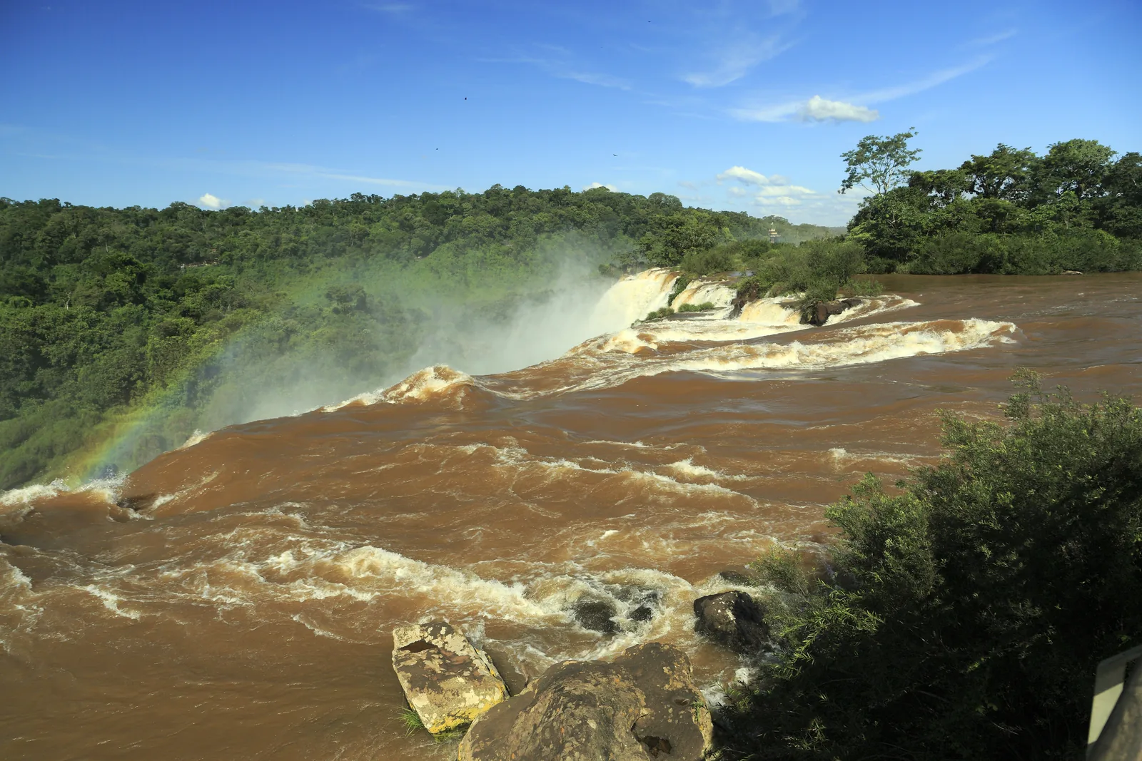
Brown floodwater of the Iguazú pours over a broad edge at Salto San Martín, with dense forest behind
Photo: Falk2 ↗ · CC BY-SA 4.0 ↗

Viewpoint · Viewpoint on the Upper Circuit

Mirador Salto San Martín

View of Salto San Martín, according to the operator the second-largest fall in the park.

The park's second-largest fall – and the place where you see what high water means.

Rank
second-largest fall in the park
Reached via
Upper Circuit
View from below
Lower Circuit
Boat trip
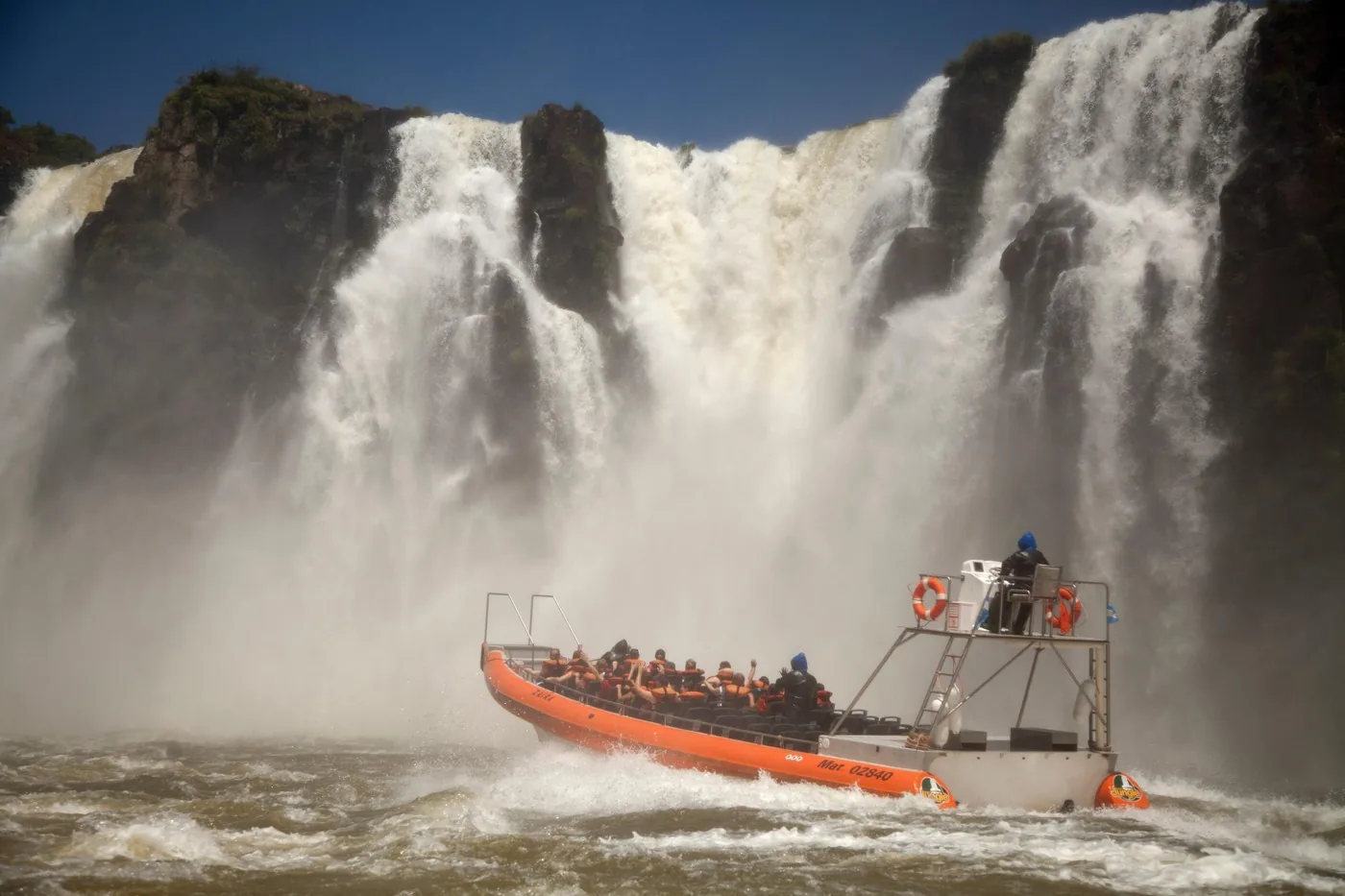
Gran Aventura in the canyon below

Iguazu Falls trails, train and boat trips

Upper Circuit: 1,850 metres

Walkways without steps along the upper edge of the falls, fully wheelchair accessible. It ends at Salto San Martín, according to the operator the second-largest fall in the park.

APN: activities (circuits, train, boat trips, cycling) ↗

Open in OpenStreetMap ↗Location source ↗

-25.68875, -54.44425

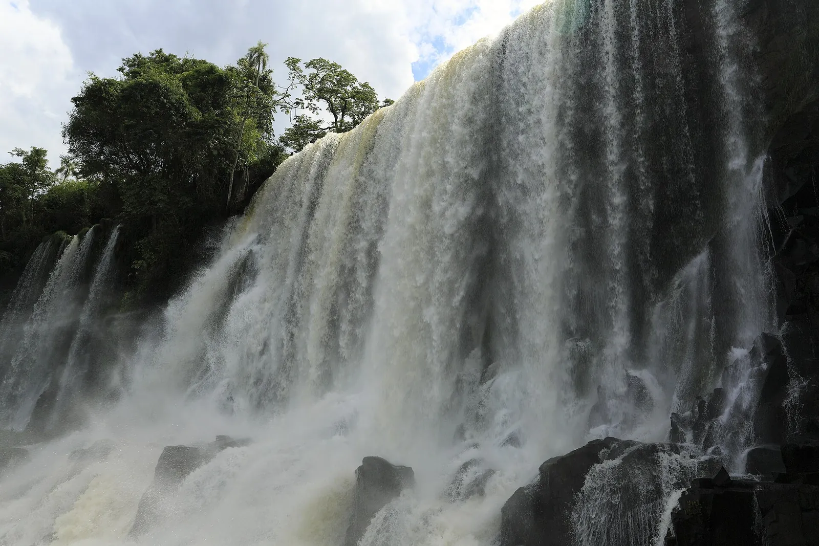
Salto Bossetti in Iguazú National Park seen close up from the lower circuit: a broad curtain of water over dark basalt, rainforest above
Photo: Falk2 ↗ · CC BY-SA 4.0 ↗

Viewpoint · Viewpoint on the Lower Circuit

Mirador Salto Bossetti

One of the closest points to a large fall; the spray reaches the walkway.

Iguazu Falls trails, train and boat trips

Lower Circuit: 1,750 metres

With stairs, and so close to the falls that according to the parks authority you feel the drops. Only partly wheelchair accessible, with a detour.

APN: activities (circuits, train, boat trips, cycling) ↗

Open in OpenStreetMap ↗Location source ↗

-25.68555, -54.44593

Trails · Forest trail, 7 km (4.3 mi) return

Macuco Trail (Sendero Macuco)

Unpaved trail through the forest with no facilities, open from 8:00 to 15:00.

Iguazu Falls trails, train and boat trips

Macuco Trail: 7 kilometres

Return through the forest to Salto Arrechea, unpaved and without facilities, open from 8:00 to 15:00. Park rangers decide whether it is open depending on the weather.

Iguazú Argentina S.A.: Macuco Trail and Salto Arrechea ↗

Open in OpenStreetMap ↗Location source ↗

-25.67876, -54.45023

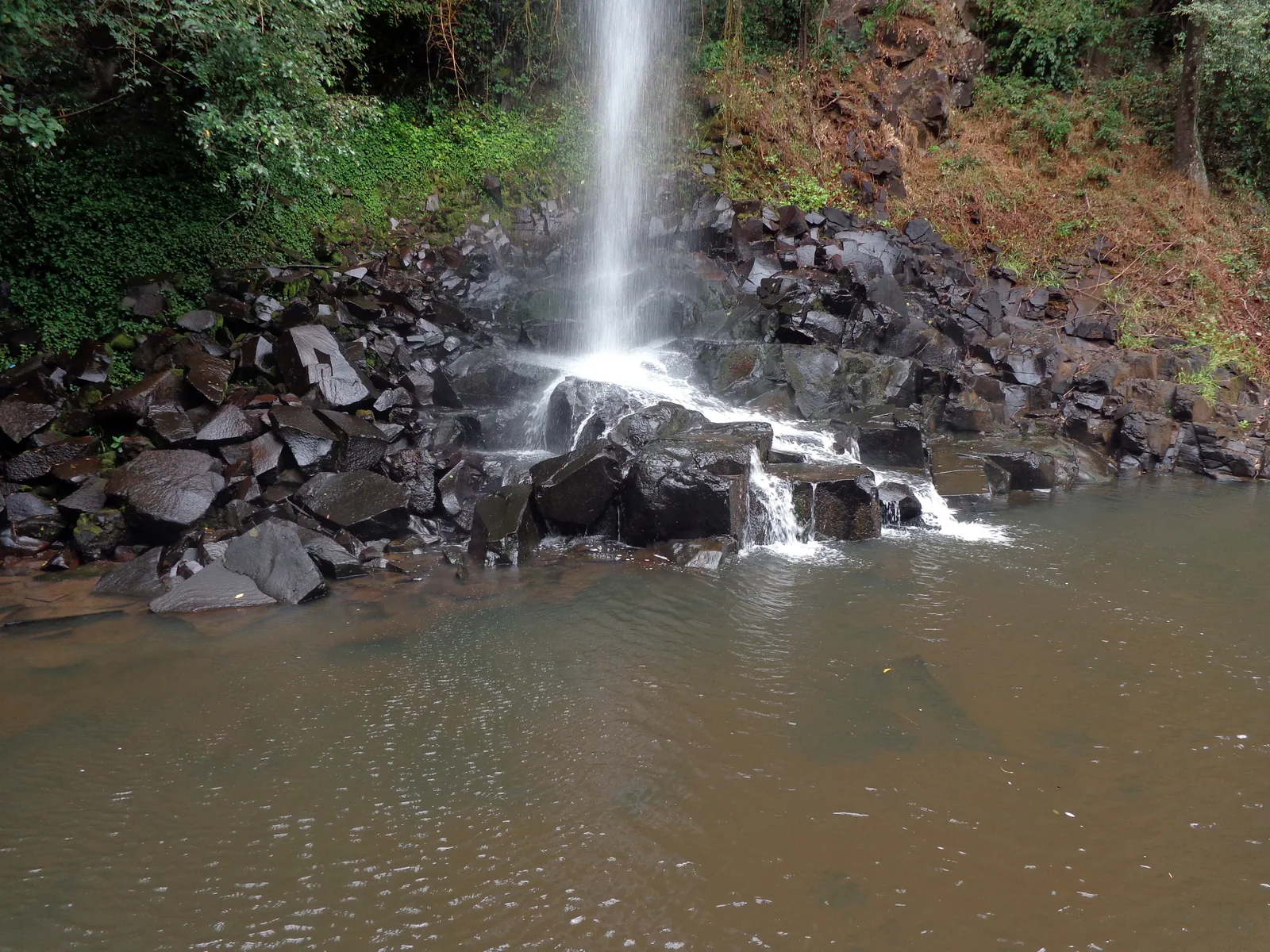
Salto Arrechea at the end of the Macuco Trail falls as a narrow stream over black basalt rocks into a brownish pool
Photo: Roberto Fiadone ↗ · CC BY-SA 3.0 ↗

Water · Waterfall, 23 m (75 ft)

Salto Arrechea

End of the Macuco Trail: a 23-metre fall into a pool of clear water.

The trail for anyone who would rather hear the forest than the water.

Length according to APN
7 km (4.3 mi) return
Duration
3 hours
Open
8:00 to 15:00
Salto Arrechea
23 m (75 ft)
Facilities
none

Open in OpenStreetMap ↗Location source ↗

-25.65522, -54.45740

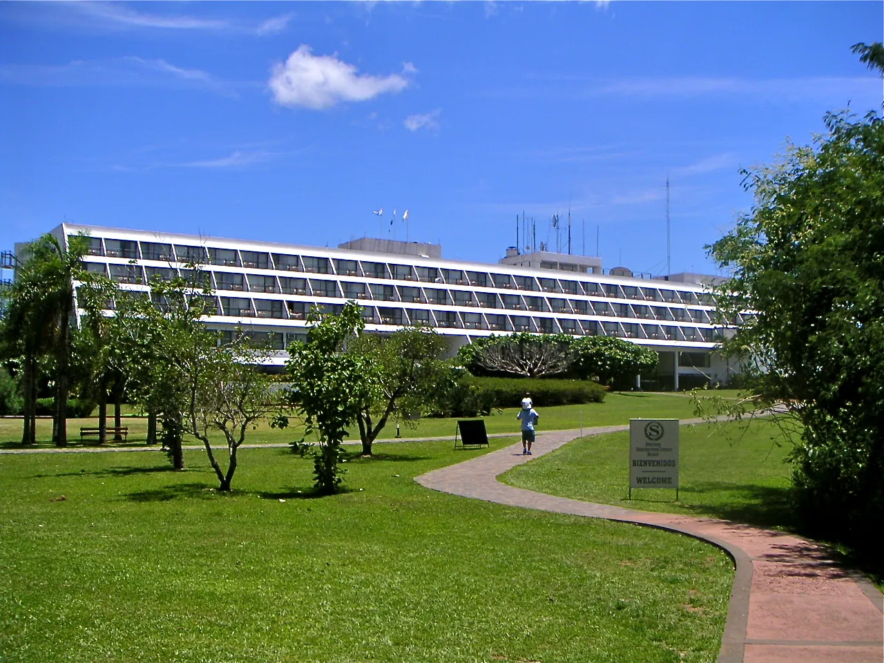
The long hotel building of today's Gran Meliá Iguazú in Iguazú National Park behind a lawn with trees and a curving path
Photo: Patrick Nouhailler ↗ · CC BY-SA 3.0 ↗

Where to stay · Hotel in the protected area

Gran Meliá Iguazú

According to the parks authority the only hotel within the park boundaries, with views of the falls.

Where to stay: one hotel in the park, everything else in Puerto Iguazú

Gran Meliá Iguazú

According to the parks authority the only hotel within the park boundaries, five stars, with rooms and suites overlooking the falls.

APN: accommodation in and near the park ↗

Open in OpenStreetMap ↗Location source ↗

-25.67995, -54.44535

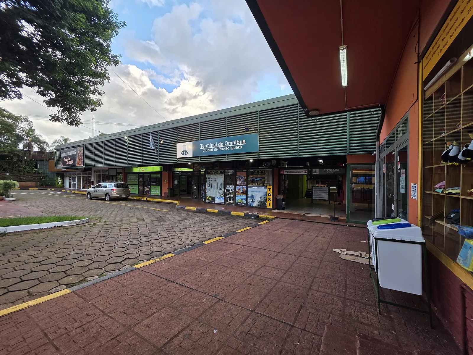
Puerto Iguazú bus station: a long row of shops under a canopy with the sign “Terminal de Omnibus”, a paved forecourt in front
Photo: Horacio Cambeiro ↗ · CC BY 3.0 ↗

Nature · Bus to the park

Puerto Iguazú bus terminal

The Río Uruguay company runs buses from here to the park every 20 minutes according to the operator, 18 kilometres.

How to get there from Puerto Iguazú: 18 km to the entrance

Bus from the bus terminal

From the bus terminal in Puerto Iguazú the Río Uruguay company runs buses to the park every 20 minutes according to the operator. The entrance is on Ruta Nacional 101 at kilometre 142, 18 km (11 mi) from town.

Iguazú Argentina S.A.: frequently asked questions (hours, tickets, circuits, discount) ↗

Where to stay: one hotel in the park, everything else in Puerto Iguazú

Puerto Iguazú

According to the parks authority the town and its surroundings offer hotels, inns, hostels and campsites. From there it is 18 kilometres to the entrance.

APN: accommodation in and near the park ↗

Open in OpenStreetMap ↗Location source ↗

-25.59846, -54.57105

Puerto Iguazú airport: terminal with a stone facade and the lettering “Aeropuerto Internacional Iguazú”, a zebra crossing and travellers with luggage in front
Photo: Vmzp85 ↗ · CC BY-SA 4.0 ↗

Nature · Aeropuerto Internacional Cataratas del Iguazú

Puerto Iguazú airport

Flights from Buenos Aires; according to the parks authority taxis, transfer services and public transport run from here to the park.

How to get there from Puerto Iguazú: 18 km to the entrance

By plane

According to the parks authority, Cataratas del Iguazú airport receives flights from Buenos Aires. From there taxis, transfer services, agencies and public transport run to the park.

APN: opening hours and getting there ↗

Open in OpenStreetMap ↗Location source ↗

-25.73176, -54.47619

Nature · Border bridge to Brazil

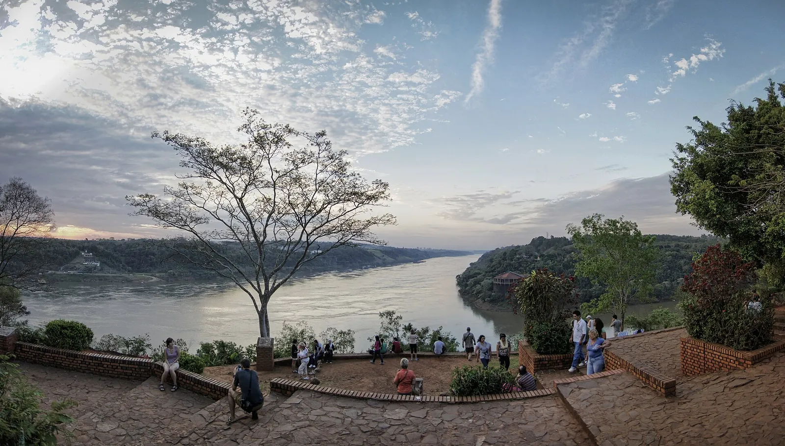
Puente Tancredo Neves

The bridge over the Iguazú between Puerto Iguazú and Foz do Iguaçu, the route to the Brazilian side.

How to get there from Puerto Iguazú: 18 km to the entrance

From Foz do Iguaçu across the border

According to the parks authority, Foz do Iguaçu on the Brazilian side is the second base for the falls. The route runs over the Tancredo Neves bridge to Puerto Iguazú; bring your passport for the border crossing.

APN: overview, when to visit, visitor centre ↗

Open in OpenStreetMap ↗Location source ↗

-25.58956, -54.56104

Nature · Group of falls

Devil's Throat (Garganta del Diablo)

The Devil's Throat, Garganta do Diabo in Portuguese.

Own page

Devil's Throat (Garganta del Diablo)

A horseshoe of water with a walkway ending at its rim – which after rain turns into a single brown cloud.

Status & routes

Open in OpenStreetMap ↗Location source ↗

-25.69559, -54.43634

Viewpoint · View from Brazil

Viewing walkway on the Brazilian side

Walkway in the river in front of the Garganta do Diabo in Parque Nacional do Iguaçu.

Own page

Devil's Throat (Garganta del Diablo)

A horseshoe of water with a walkway ending at its rim – which after rain turns into a single brown cloud.

Status & routes

Open in OpenStreetMap ↗Location source ↗

-25.69123, -54.43782

Nature · Scenic flight departures

Helisul, Foz do Iguaçu

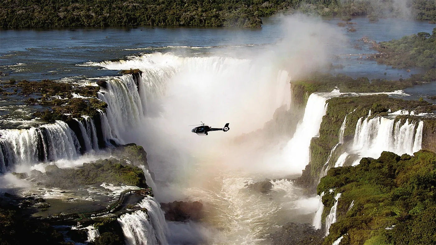
Helicopter base on Avenida das Cataratas, outside the Brazilian park.

Own page

Devil's Throat (Garganta del Diablo)

A horseshoe of water with a walkway ending at its rim – which after rain turns into a single brown cloud.

Status & routes

Open in OpenStreetMap ↗Location source ↗

-25.61339, -54.48124

Locations verified from the linked original sources and OpenStreetMap. The map shows no trails or park boundaries; markers do not imply that access is permitted.

Map: © OpenStreetMap contributors, OpenMapTiles, OpenFreeMap. Elevation: Terrain Tiles (Mapzen, AWS Open Data); 3DEP, GMTED2010 and SRTM courtesy of the U.S. Geological Survey; EU-DEM (Copernicus, European Union); ETOPO1 (NOAA); ArcticDEM (NSF, DigitalGlobe); Geoscience Australia; Open Data Austria (DGM); Open Government Licence – Canada; INEGI; Land Information New Zealand; Kartverket; Environment Agency (UK).

Park photo: Photo: Falk2 ↗ · CC BY-SA 4.0 ↗

Loading map …