

Connemara National Park: landscape and origins
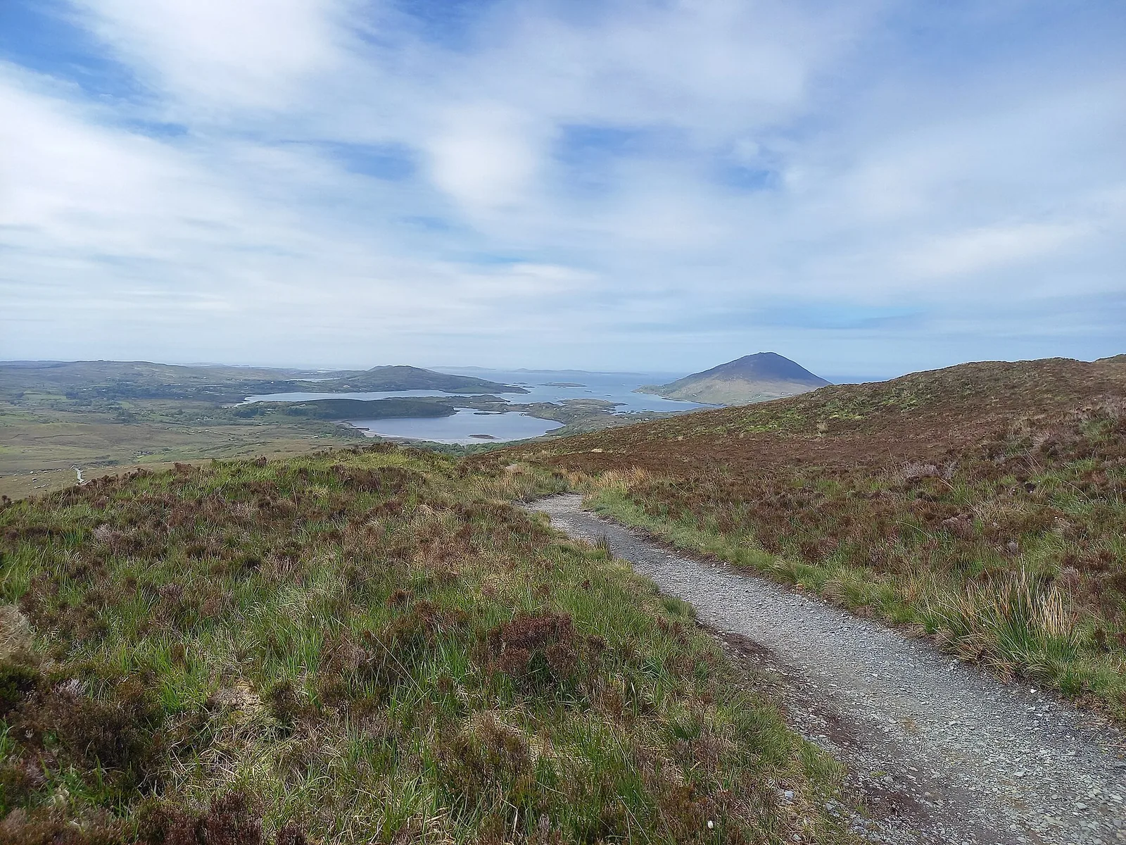
Diamond Hill is why most people come: a short, steep path up a summit with views over bog, sea and mountains.
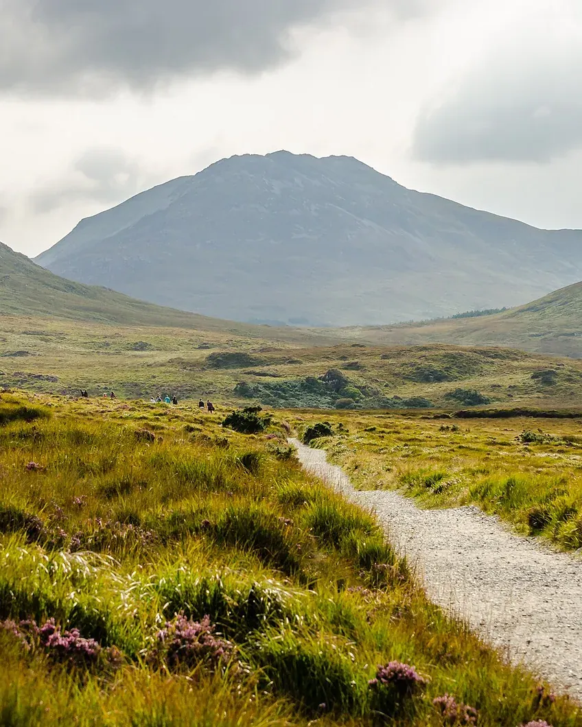
Both Diamond Hill trails start at the visitor centre. The lower route follows an old bog road, steps and boardwalks to Big Rock and back down – 3 km (1.9 mi) with 90 m (295 ft) of climbing.
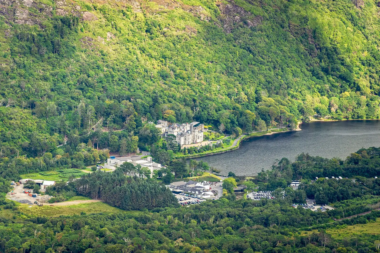
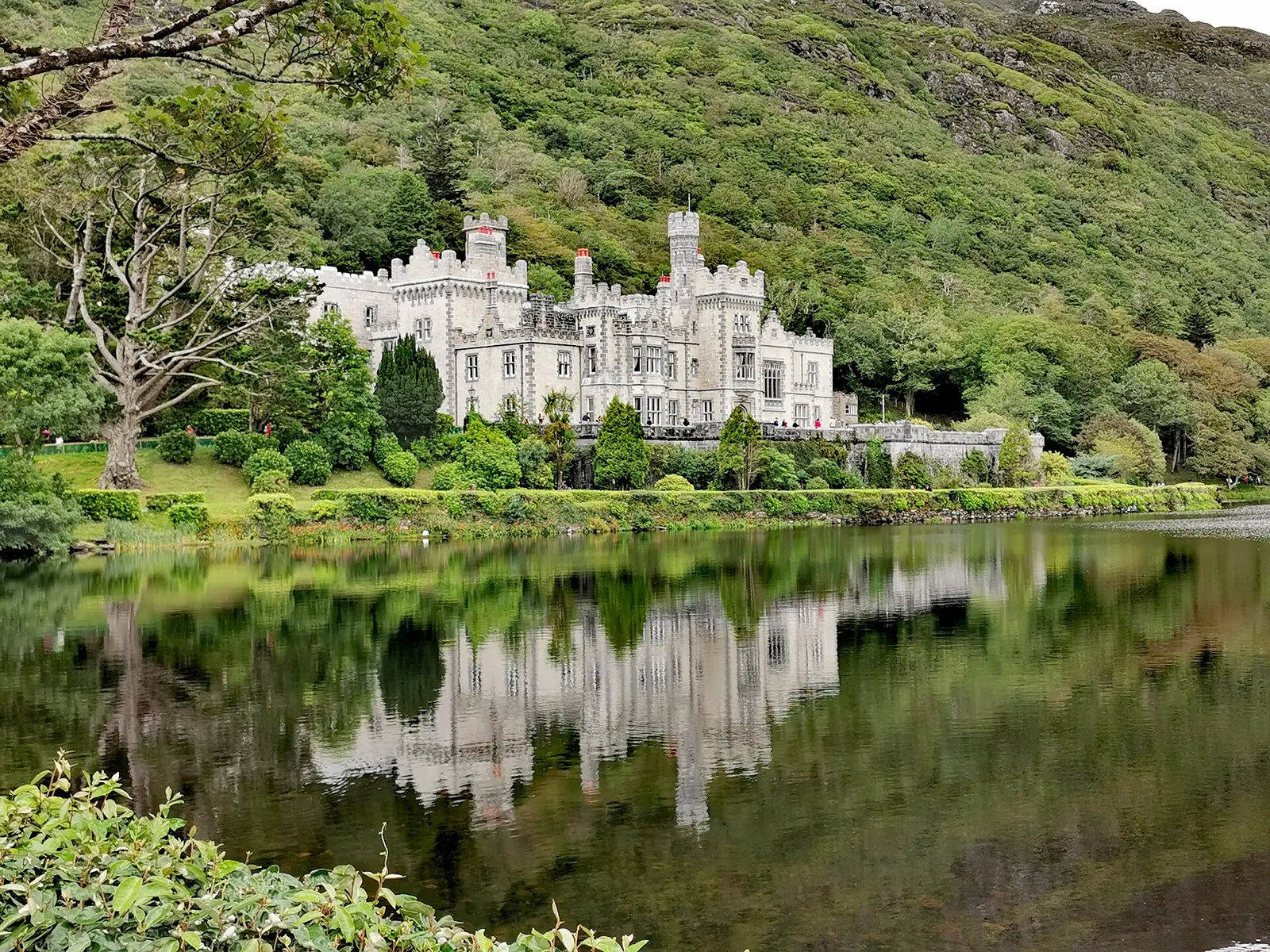
The upper route continues to the summit. From the top you look out over the Twelve Bens, Tully Mountain and Kylemore Abbey; on the far side, boardwalks lead back to the visitor centre.
Beyond these trails there are no waymarked paths. The mountains are not high, but according to the NPWS they are very demanding: bog and wet grassland below, exposed bedrock and scree higher up.
NPWS: Connemara National Park – walking trails, hill walking, wild camping ↗
The park in numbers
- Start
- visitor centre, Letterfrack
- Upper Diamond Hill
- 3.7 km (2.3 mi) loop
- Lower Diamond Hill
- 3 km (1.9 mi), 90 m (295 ft) climb
- Difficulty at the top
- strenuous
- Surface
- stone, gravel, boardwalks
- Entry
- free
- Bikes
- not allowed