All places
Connemara National Park Visitor Centre Start of all four trails, with café, toilets and playground. Wednesday to Sunday 9:00 to 17:30.
Add to your Connemara National Park visit Open in OpenStreetMap ↗ Location source ↗
53.55122, -9.94490
All places Photo: Karie Kuiper ↗ · CC BY-SA 4.0 ↗
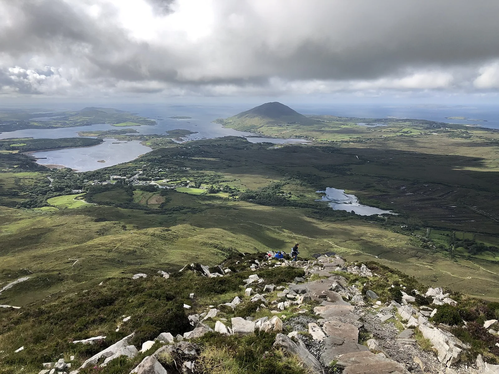
Diamond Hill (Binn Ghuaire) Destination of the Upper Diamond Hill Trail, with views of the Twelve Bens and Kylemore Abbey.
The viewpoint hill above Letterfrack.
Upper trail 3.7 km (2.3 mi)
Lower trail 3 km (1.9 mi) Add to your Connemara National Park visit Open in OpenStreetMap ↗ Location source ↗
53.54826, -9.91470
All places
Muckanaght (Mucanacht) Off the trails; only for experienced hillwalkers with map and compass.
Add to your Connemara National Park visit Open in OpenStreetMap ↗ Location source ↗
53.52247, -9.85858
All places
Benbaun (An Bhinn Bhán) 725 m (2,379 ft); no waymarked trail.
Add to your Connemara National Park visit Open in OpenStreetMap ↗ Location source ↗
53.52125, -9.83171
All places
Letterfrack The park entrance is 200 m beyond the village; bus stop for Galway, Clifden and Westport.
Add to your Connemara National Park visit Open in OpenStreetMap ↗ Location source ↗
53.55352, -9.94830
All places Photo: Stipa Jennifer ↗ · CC BY-SA 4.0 ↗
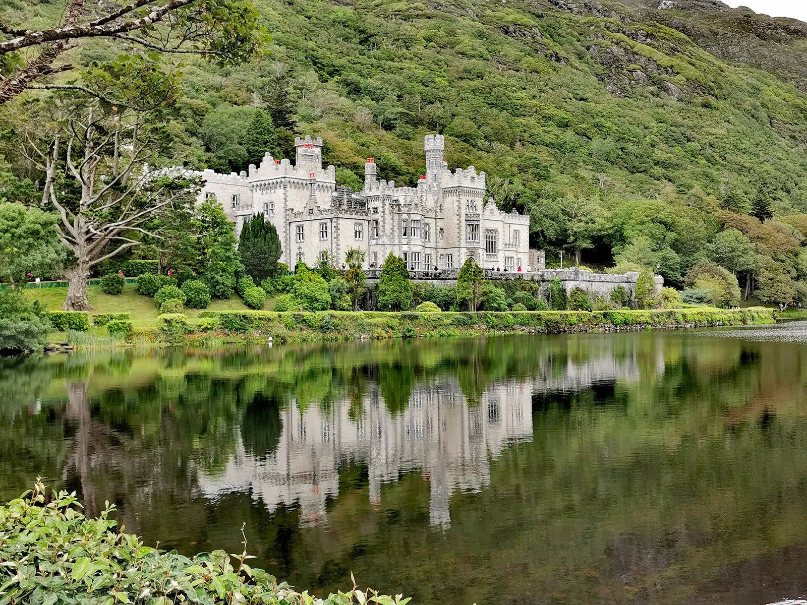
Kylemore Abbey Part of the park once belonged to the Kylemore estate; visible from Diamond Hill.
The park's neighbour and former owner of part of its land.
Location outside the park
From Diamond Hill visible Add to your Connemara National Park visit Open in OpenStreetMap ↗ Location source ↗
53.56174, -9.88941
All places
Clifden Via the N59 to Letterfrack; buses to Galway.
Add to your Connemara National Park visit Open in OpenStreetMap ↗ Location source ↗
53.48849, -10.02107
All places
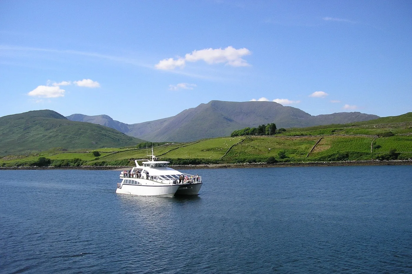
Leenane Landing for the boat trips on Killary Fjord.
Guided from here · Ad
Partner links: we may earn a commission if you book – at no extra cost to you. Thank you for supporting the atlas. Dates and prices with the provider.
Add to your Connemara National Park visit Open in OpenStreetMap ↗ Location source ↗
53.59581, -9.69422
All places
Recess (Sraith Salach) Turn-off into the Inagh Valley on the shorter route from Galway.
Add to your Connemara National Park visit Open in OpenStreetMap ↗ Location source ↗
53.46650, -9.72567
All places
Tully Mountain In view from Diamond Hill, known locally as Letter Hill.
Add to your Connemara National Park visit Open in OpenStreetMap ↗ Location source ↗
53.58379, -10.00490
Locations verified from the linked original sources and OpenStreetMap. The map shows no trails or park boundaries; markers do not imply that access is permitted.
Map: © OpenStreetMap contributors, OpenMapTiles, OpenFreeMap. Elevation: Terrain Tiles (Mapzen, AWS Open Data); 3DEP, GMTED2010 and SRTM courtesy of the U.S. Geological Survey; EU-DEM (Copernicus, European Union); ETOPO1 (NOAA); ArcticDEM (NSF, DigitalGlobe); Geoscience Australia; Open Data Austria (DGM); Open Government Licence – Canada; INEGI; Land Information New Zealand; Kartverket; Environment Agency (UK).
Park photo: Photo: Beni Arnold ↗ · CC BY 2.0 ↗