National Parks Atlas
MapPDF

01 · Ireland · County Wicklow

Wicklow Mountains National Park

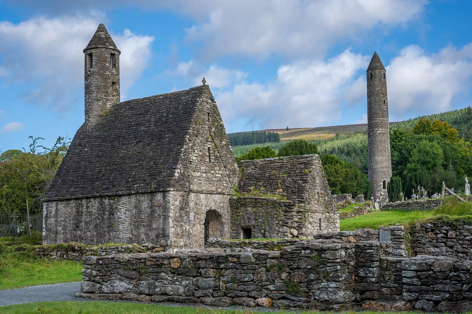
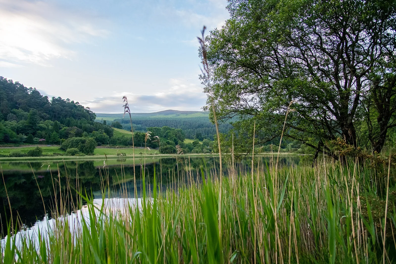
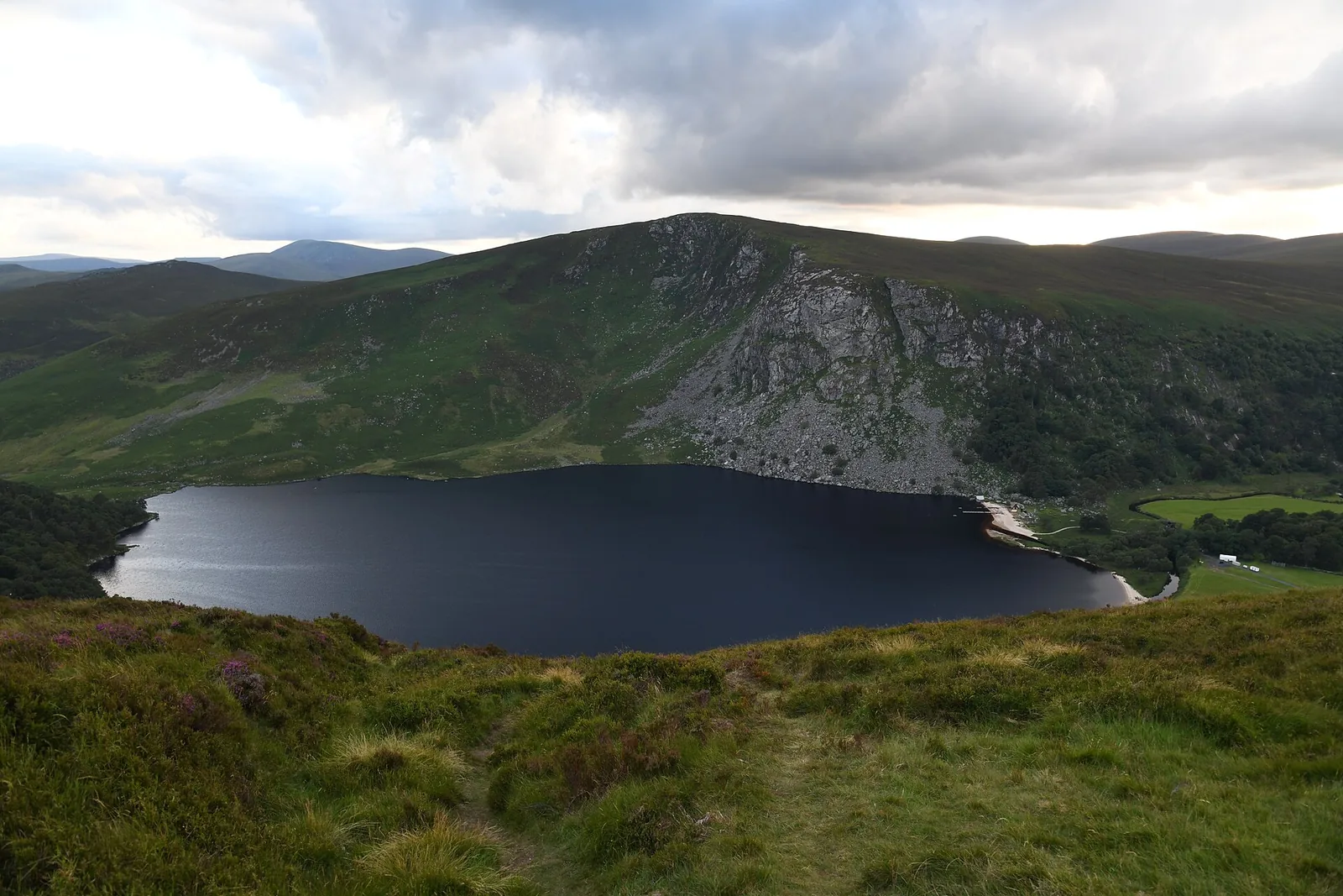
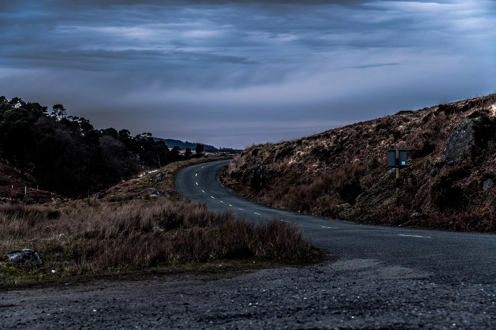
Ireland's largest national park, south of Dublin – with the monastic valley of Glendalough and two lakes beneath the Spinc.

Photo: Stipa Jennifer ↗ · CC BY-SA 4.0 ↗

Wicklow Mountains at a glance · PDF, 2 pages

Wicklow Mountains National Park: landscape and origins

Glendalough is easy to reach and hard to park at – knowing that wins you the day.

Three public car parks serve the valley. The free one in Laragh is 3 km (1.9 mi) from the Upper Lake; from there you walk along the Green Road through the woods and pass the monastic site.

The OPW car park at the visitor centre lies right by the Monastic City; the Upper Lake is a 20-minute walk along the Green Road or the Lower Lake boardwalk. If you pay here, you get one free admission to the visitor centre.

The Upper Lake car park is closest to the trails but fills first. If it is full, the NPWS warns you could be stuck in a queue for an hour on the narrow road – better to turn around and park in Laragh.

NPWS: Parking in Glendalough ↗

The park in numbers

Car parks
3
Laragh
free, 8:00–20:00
Laragh to Upper Lake
3 km (1.9 mi) on foot
Visitor centre
charge, 8:00–20:00
Upper Lake
charge at the entrance
Valley road
no parking
Bus from Dublin
route 181

Visiting Wicklow Mountains National Park: Glendalough, bogs and passes

02

Glendalough

The most visited site in the park: a glacial valley with two lakes, where St Kevin founded a monastery in the sixth century.

NPWS: Parking in Glendalough ↗

02 · Places

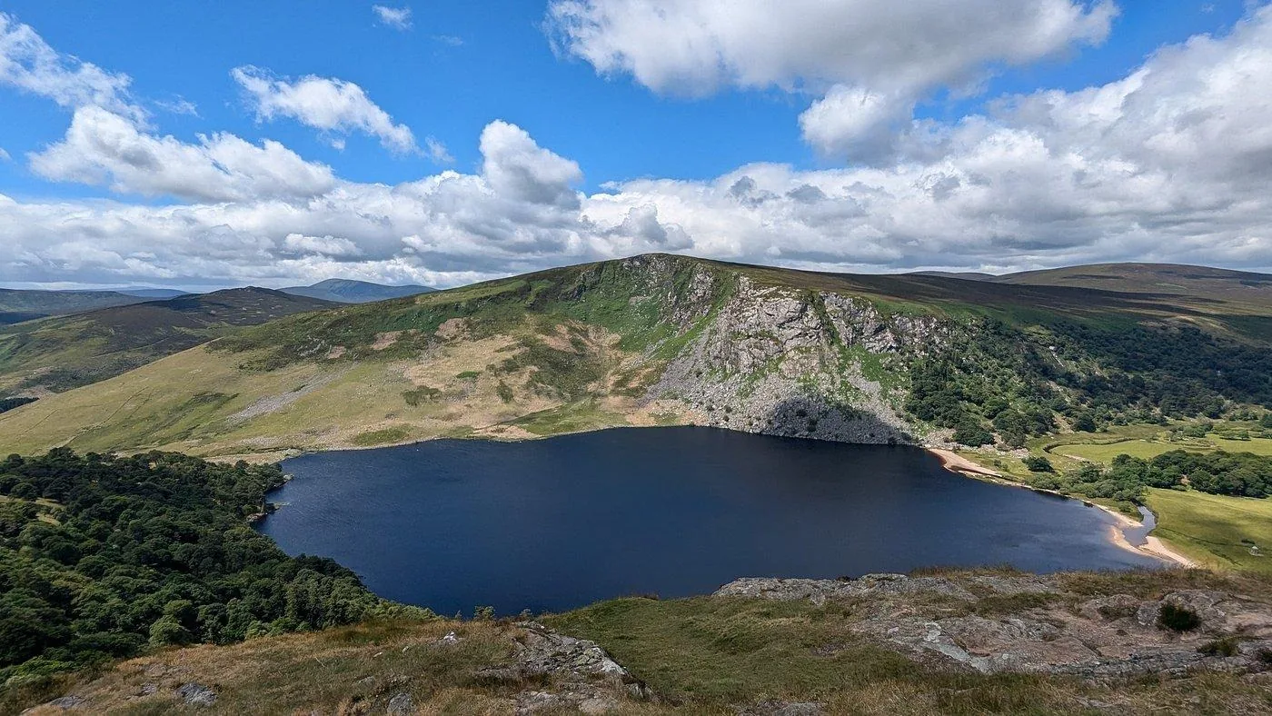
Map: Glendalough, Laragh, Sally Gap and Lough Tay

Lakes, trails and car parks, every point referenced in OpenStreetMap.

Photo: Jonjobaker ↗ · CC BY-SA 4.0 ↗

Map

14 places on the map

Lakes, trails and car parks, every point referenced in OpenStreetMap.

Open map3D terrain · details and photos for every place
  • Mountains & rock4
  • Water4
  • Trails1
  • Arrival1
  • History2
  • Nature1
  • Surroundings1

03 · Out and about

Hikes & routes in Glendalough: nine waymarked trails

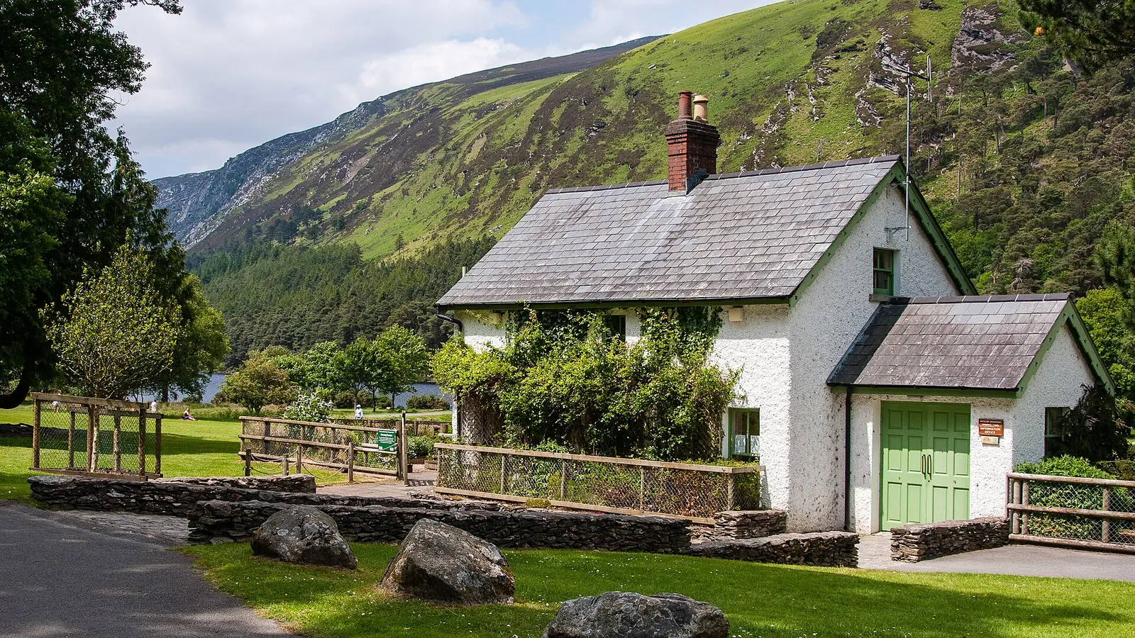
All start at the information office near the Upper Lake.

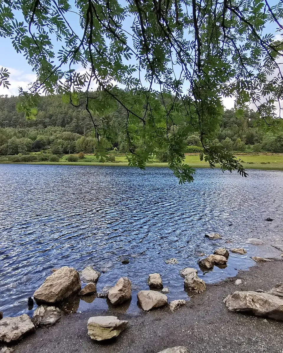
Photo: Karie Kuiper ↗ · CC BY-SA 4.0 ↗

“South of Dublin, the bog begins.”

Wicklow Mountains National Park · uplands

Hikes & routes in Glendalough: nine waymarked trails

Nature and history: monasteries, mines and bogland

Field book · Wicklow Mountains National Park

checked 4 Oct 2026

Wicklow Mountains at a glance · PDF, 2 pages ↓

00My visit

Nothing saved yet. Every place card has a pin, and so does every place on the Map. What you save collects here, with days, notes and a preview you can share.

01Best time to visit: all year, with heather in late summer

On sunny weekends Glendalough is busy.

Avoid weekends

In sunny weather, especially at weekends, traffic and parking at Glendalough become a problem, according to the NPWS.

NPWS: Parking in Glendalough ↗

Heather June to September

Ling heather flowers from June to September; finding white heather is considered lucky.

NPWS: Wicklow Mountains National Park – nature, plants and rules ↗

Gorse from February to May

Gorse, Ireland's most distinctive native shrub, flowers bright yellow from February to May.

NPWS: Wicklow Mountains National Park – nature, plants and rules ↗

Works on the White Trail

Since 20 July 2026 the White Trail between the Miners' Village and the footbridge (the “White Zig Zags”) has been upgraded for five to six months; there may be occasional disruption.

NPWS: Glendalough Trail Works 2026 (White Trail) ↗

Show on the map

Visitor centre

Mid-March to 14 October daily 9:30 to 18:00, in winter until 17:00; closed from 23 to 29 December.

Office of Public Works (Heritage Ireland): Glendalough Monastic Site and Visitor Centre – admission and opening ↗

Show on the map

Climate through the year

Weather and climate in Wicklow Mountains National Park

Best months by the climate data: June to August. Average daytime highs of 16 to 18 °C, lows of 10 to 12 °C, 79 to 93 mm of precipitation a month. The wettest month is November (121 mm), the driest April (67 mm).

Climate chart in Wicklow Mountains National ParkAverage daily highs from 7 °C to 18 °C, lows from 4 °C to 12 °C; monthly precipitation from 67 mm to 121 mm.
All monthly values as a table
Monthly averages 2001–2020, NASA POWER model
MonthHigh °CLow °CPrecipitation mm
January7.43.997
February7.33.579
March8.53.878
April10.75.567
May13.37.770
June16.010.379
July17.511.983
August17.512.093
September15.910.781
October13.18.9116
November9.96.4121
December8.04.6114
Year1,078

Modelled values, not a weather station: NASA POWER (MERRA-2) for a grid cell of about 55 × 40 km around the map point National Park Information Office (53.01° N, 6.35° W), with an average cell elevation of about 110 m. Averages for 2001–2020. Higher ground and valleys can differ markedly.

Source: NASA POWER, climatology 2001–2020 ↗ · retrieved 4 Oct 2026

02How to get there: bus 181 from Dublin or by car to Laragh

Glendalough is reachable by bus, most of the rest of the park hardly.

Bus 181 from Dublin

The privately owned St Kevin's Bus Company runs route 181 from Dublin city centre to Glendalough. There are also Local Link routes 183 from Arklow and 895 from Sallins.

National Parks & Wildlife Service (NPWS): Wicklow Mountains National Park – area, opening, parking, getting there ↗

The rest of the park

Most of the 230 square kilometres (89 sq mi) are not accessible by public transport, although some tour companies run coach tours through the park.

National Parks & Wildlife Service (NPWS): Wicklow Mountains National Park – area, opening, parking, getting there ↗

Do not park on the valley road

There are double yellow lines along the road to the Upper Lake; the Gardaí issue parking tickets and illegally parked cars may be towed. When the car parks are full, the NPWS suggests turning around.

NPWS: Parking in Glendalough ↗

The Military Road

Built between 1801 and 1809, the road runs 58 km (36 mi) from Rathfarnham via Sally Gap and Glenmacnass Waterfall to Laragh and Aughavannagh, largely through the park.

NPWS: Wicklow Mountains National Park – walking trails, information office, Military Road, monastic sites ↗

Show on the map

Wild Wicklow Tours · Day trip from Dublin · 8.5 hours

From Dublin: Wild Wicklow Mountains, Glendalough & Guinness Lake

In a smaller coach on the mountain roads that big coaches avoid: from Dublin along the coast, over the Wicklow Mountains to Lough Tay and on to Glendalough, with time at the monastic site and a whiskey tasting from the valley. In winter shorter, focusing on the mountains, Lough Tay and Glendalough.

4.8 out of 5 stars1,809 reviews on GetYourGuidefrom €55as of 5 Oct

Departure 8:45 St Stephen's Green North, 9:00 Cathal Brugha Street, 9:15 opposite the Grand Canal Hotel.

According to the list of inclusions, the tour covers admission fees, an English-speaking guide, a whiskey tasting, the air-conditioned minibus and pickups in north and south Dublin; food and tips are not included. The tour is a sightseeing trip with short walks, not a hike. From 1 November to 4 April a shorter winter route applies, returning at about 16:00 to 16:30, with a minimum number of participants. Free cancellation up to 24 hours in advance.

View tour ↗Ad · partner link · checked 4 Oct 2026

Ad · we may earn a commission if you book through this partner link – at no extra cost to you. Thank you for supporting the atlas. Offer details checked 4 Oct 2026. See official ticket information.

03Free entry, some parking charges

What costs money at Glendalough is the car park – and the exhibition.

Admission: free

“Admission: Free (Charges may apply for parking)”, the NPWS says of the national park. The ruins of the monastic site are also free to visit.

National Parks & Wildlife Service (NPWS): Wicklow Mountains National Park – area, opening, parking, getting there ↗

Parking in Laragh: free

The Wicklow County Council car park beside the Woollen Mills is free, staffed and open daily from 8:00 to 20:00. It is 3 km (1.9 mi) through the woods to the Upper Lake.

NPWS: Parking in Glendalough ↗

Show on the map

Parking at the visitor centre

The OPW car park at the monastic site charges a fee in busy periods, payable by coin or card, 8:00 to 20:00. If you park here you get one free admission to the visitor centre.

NPWS: Parking in Glendalough ↗

Show on the map

Parking at the Upper Lake

At the end of the valley road, run by the county council, with a charge at the entrance. When it is full, traffic backs up on the narrow road.

NPWS: Parking in Glendalough ↗

Show on the map

Visitor centre: €5

The OPW exhibition and film cost €5 for adults, €4 for seniors and groups, €3 for children and students and €13 for families.

Office of Public Works (Heritage Ireland): Glendalough Monastic Site and Visitor Centre – admission and opening ↗

Show on the map

04Where to stay: Laragh, Glendalough or wild camping

Inside the park only wild camping is allowed.

Hotels and guesthouses

Around the park there are hotels, B&Bs, hostels and campsites; between Laragh and Glendalough two hotels and a restaurant.

National Parks & Wildlife Service (NPWS): Wicklow Mountains National Park – area, opening, parking, getting there ↗

Show on the map

Wild camping by the rules

Only wilderness camping is permitted in the park, following the NPWS guidelines. Fires are not allowed.

National Parks & Wildlife Service (NPWS): Wicklow Mountains National Park – area, opening, parking, getting there ↗

Food by the lake

In season there are chip and ice-cream stalls at the Upper Lake car park and by the monastic site.

National Parks & Wildlife Service (NPWS): Wicklow Mountains National Park – area, opening, parking, getting there ↗

Show on the map

05Rules in Wicklow Mountains National Park: dogs, fires, swimming

The park is protected by law, plus a few rules for visitors.

Dogs on a lead

Dogs are welcome but must stay on a lead; during the breeding season the NPWS suggests leaving them at home if you can.

NPWS: Wicklow Mountains National Park – nature, plants and rules ↗

No fires

Fires of any kind are not allowed in Ireland's national parks.

NPWS: Wicklow Mountains National Park – nature, plants and rules ↗

No swimming spots

There are no lifeguards and no approved safe swimming spots in the park. The lakes are deep and cold, and the rivers rise quickly after rain.

NPWS: Swimming in mountain lakes and rivers ↗

Take nothing

Photos yes, removing plants, animals or rocks no. Leave the bilberries for the birds and animals too.

NPWS: Wicklow Mountains National Park – nature, plants and rules ↗

Groups over 50 need a permit

Events and groups of more than 50 people require a permit.

NPWS: Wicklow Mountains National Park – walking trails, information office, Military Road, monastic sites ↗

06Frequently asked questions: Wicklow Mountains National Park

Is there an entrance fee for Wicklow Mountains National Park?

No. Admission is free, but charges may apply for parking. The OPW visitor centre at Glendalough costs €5 for adults.

National Parks & Wildlife Service (NPWS): Wicklow Mountains National Park – area, opening, parking, getting there ↗

Where can I park for free at Glendalough?

At the county council car park in Laragh beside the Woollen Mills, daily 8:00 to 20:00. From there it is 3 km (1.9 mi) on foot to the Upper Lake.

NPWS: Parking in Glendalough ↗

How do I get from Dublin to Glendalough?

On bus 181 of the St Kevin's Bus Company from Dublin city centre, or by car via Laragh.

National Parks & Wildlife Service (NPWS): Wicklow Mountains National Park – area, opening, parking, getting there ↗

What walking trails are there at Glendalough?

Nine waymarked trails, all starting at the information office: from the easy Green Road (3 km) and the Miners' Road (5 km) to the Spinc and Wicklow Way route (11.5 km).

NPWS: Wicklow Mountains National Park – walking trails, information office, Military Road, monastic sites ↗

Can you swim at Glendalough?

There are no lifeguards and no approved safe swimming spots in the park; the lakes are deep and cold.

NPWS: Swimming in mountain lakes and rivers ↗

07Where the information comes from

National Parks & Wildlife Service (NPWS) and the Office of Public Works.

  1. National Parks & Wildlife Service (NPWS): Wicklow Mountains National Park – area, opening, parking, getting there ↗
  2. NPWS: Wicklow Mountains National Park – walking trails, information office, Military Road, monastic sites ↗
  3. NPWS: Parking in Glendalough ↗
  4. NPWS: Glendalough Trail Works 2026 (White Trail) ↗
  5. NPWS: Wicklow Mountains National Park – nature, plants and rules ↗
  6. Office of Public Works (Heritage Ireland): Glendalough Monastic Site and Visitor Centre – admission and opening ↗
  7. NPWS: Swimming in mountain lakes and rivers ↗

How current is this information?

Researched 4 Oct 2026. Not a live status. Dates apply only to the year stated. A successful automatic fetch is not an editorial confirmation; outdated automatic values are hidden and replaced by the source link.

Current information from the park ↗

Image and map credits

Location sources: All points come from OpenStreetMap and are referenced individually by object number. Their position relative to the park was checked against the OpenStreetMap boundary of Wicklow Mountains National Park (relation 4267299): the Upper and Lower Lakes, the OPW visitor centre, the round tower, the information office, the Miners' Village, St Kevin's Bed, Reefert Church, Poulanass Waterfall, the Spinc, Sally Gap and Djouce lie inside; Laragh, Lough Tay and Glenmacnass Waterfall lie outside. Markers do not imply that access is permitted. Base map © OpenStreetMap contributors. Coastlines of the chapter map: Natural Earth.

End of the field book · Park authority ↗