National Parks Atlas
To the park
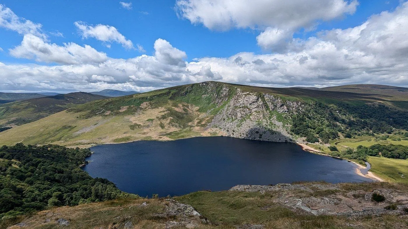
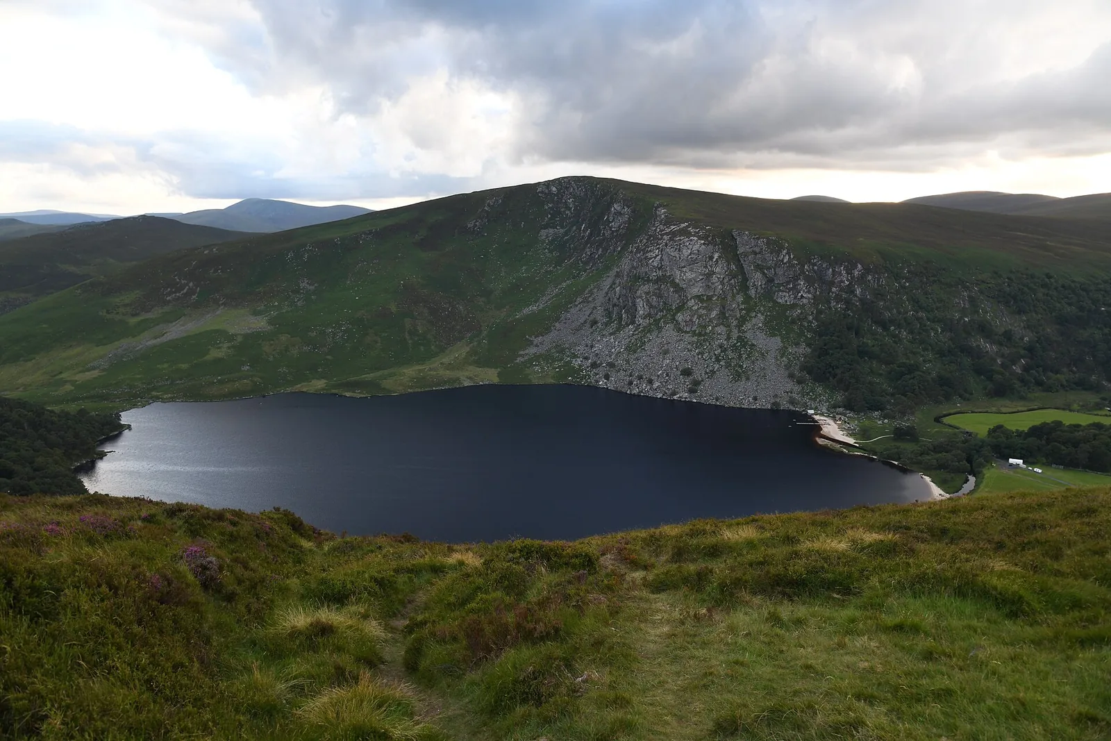
The Upper Lake at Glendalough in Wicklow Mountains National Park between steep wooded mountainsides

Wicklow Mountains National Park: map

14 places with verified coordinates · 4 with photo

Bookable in the park · 1

Ad · partner links: we may earn a commission if you book – at no extra cost to you. Thank you for supporting the atlas. Offer details checked 4 Oct 2026; dates and prices with the provider.

Water · Lake at Glendalough

Upper Lake

The larger of the two lakes, beneath the Spinc cliffs. Car park at the end of the valley road.

Free entry, some parking charges

Parking at the Upper Lake

At the end of the valley road, run by the county council, with a charge at the entrance. When it is full, traffic backs up on the narrow road.

NPWS: Parking in Glendalough ↗

Where to stay: Laragh, Glendalough or wild camping

Food by the lake

In season there are chip and ice-cream stalls at the Upper Lake car park and by the monastic site.

National Parks & Wildlife Service (NPWS): Wicklow Mountains National Park – area, opening, parking, getting there ↗

Open in OpenStreetMap ↗Location source ↗

53.00513, -6.35806

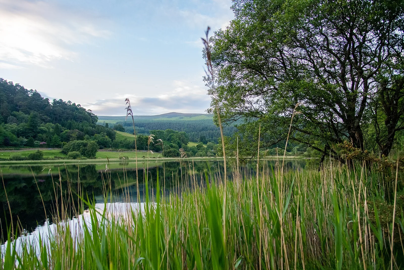
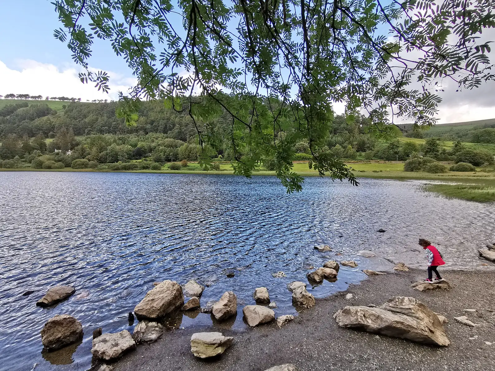
View across the Lower Lake at Glendalough in Wicklow Mountains National Park to the wooded slopes of the valley
Photo: Jonjobaker ↗ · CC BY-SA 4.0 ↗

Water · Lake at Glendalough

Lower Lake

Small lake with a boardwalk on the shore, on the Green Road between the monastic site and the Upper Lake.

The easy route through the oak woods.

Length
3 km (1.9 mi)
Time
about 45 min
Climb
20 m (66 ft)

Hikes & routes in Glendalough: nine waymarked trails

Green Road, 3 km

Easy, about 45 minutes: through the oak woods down to the Lower Lake, on the boardwalk with views up the valley. A detour leads to the monastic site.

NPWS: Wicklow Mountains National Park – walking trails, information office, Military Road, monastic sites ↗

Open in OpenStreetMap ↗Location source ↗

53.00866, -6.33607

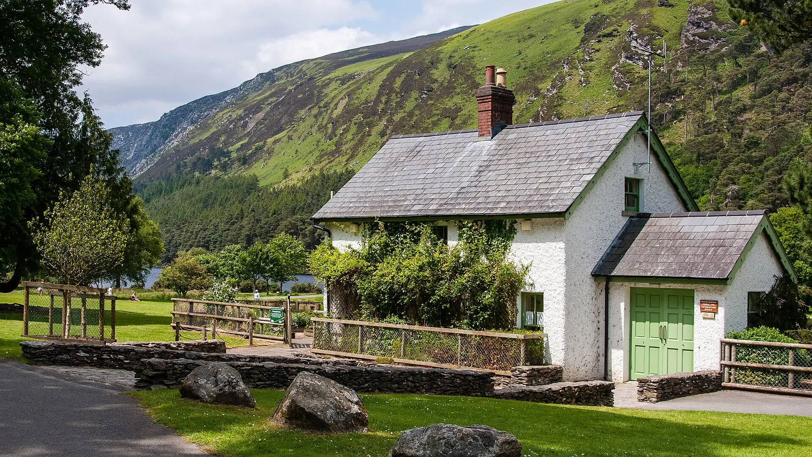
The Wicklow Mountains National Park information office at Glendalough, a stone building amid greenery
Photo: Joe King ↗ · CC BY-SA 3.0 ↗

Trails · Start of all waymarked trails

National Park Information Office

200 m from the Upper Lake car park; free trail maps, first aid, lost property.

All nine waymarked trails start here.

March–October
10:00–17:30
November–February
9:30–16:30
Maps
free

Visiting Wicklow Mountains National Park: Glendalough, bogs and passes

Information office

200 m from the Upper Lake car park. March to October 10:00 to 17:30, November to February 9:30 to 16:30; free trail maps. Lost property on 0404 45425.

NPWS: Wicklow Mountains National Park – walking trails, information office, Military Road, monastic sites ↗

Open in OpenStreetMap ↗Location source ↗

53.00517, -6.34524

Arrival · OPW visitor centre

Glendalough Visitor Centre

Exhibition and film about the monastic site, with car park; guided tours of the Monastic City.

Free entry, some parking charges

Parking at the visitor centre

The OPW car park at the monastic site charges a fee in busy periods, payable by coin or card, 8:00 to 20:00. If you park here you get one free admission to the visitor centre.

NPWS: Parking in Glendalough ↗

Free entry, some parking charges

Visitor centre: €5

The OPW exhibition and film cost €5 for adults, €4 for seniors and groups, €3 for children and students and €13 for families.

Office of Public Works (Heritage Ireland): Glendalough Monastic Site and Visitor Centre – admission and opening ↗

Best time to visit: all year, with heather in late summer

Visitor centre

Mid-March to 14 October daily 9:30 to 18:00, in winter until 17:00; closed from 23 to 29 December.

Office of Public Works (Heritage Ireland): Glendalough Monastic Site and Visitor Centre – admission and opening ↗

Open in OpenStreetMap ↗Location source ↗

53.01051, -6.32434

Nature · Monastic City

Glendalough Round Tower

About 30 m (98 ft) high, entrance 3.5 m (11 ft) above the ground. The ruins are free to visit.

Nature and history: monasteries, mines and bogland

St Kevin and the monastic site

St Kevin came to the valley in the late sixth century and died in 617. By the end of the eighth century the monastery employed up to 1,000 laypeople; between 775 and 1095 it was plundered many times.

NPWS: Wicklow Mountains National Park – walking trails, information office, Military Road, monastic sites ↗

Nature and history: monasteries, mines and bogland

The round tower

About 30 m (98 ft) high, with its entrance 3.5 m (11 ft) above the ground; inside there were once six wooden floors with ladders. The roof was rebuilt in 1876 using the original stones.

NPWS: Wicklow Mountains National Park – walking trails, information office, Military Road, monastic sites ↗

Open in OpenStreetMap ↗Location source ↗

53.01094, -6.32772

History · Church ruin

Reefert Church

On the path between the information office and Poulanass, in the oak wood.

Open in OpenStreetMap ↗Location source ↗

53.00422, -6.34694

Water · Waterfall

Poulanass Waterfall

Short, steep climb with a view of the waterfall and plunge pools; parts of the trails rerouted after storm damage.

Open in OpenStreetMap ↗Location source ↗

53.00232, -6.34518

Mountains & rock · Cave above the Upper Lake

St Kevin's Bed

Visible across the lake from the Miners' Road.

Open in OpenStreetMap ↗Location source ↗

53.00434, -6.35268

Mountains & rock · Cliff ridge with boardwalk

Spinc

The viewpoint trail above the Upper Lake; hiking boots needed.

Hikes & routes in Glendalough: nine waymarked trails

Spinc and Glenealo Valley, 9.5 km

Strenuous, about 3 hours 15 minutes: up past the miners' settlement, along the boardwalk to the Spinc cliffs and back through the forest.

NPWS: Wicklow Mountains National Park – walking trails, information office, Military Road, monastic sites ↗

Open in OpenStreetMap ↗Location source ↗

53.00145, -6.36011

History · Ruins of the miners' settlement

Miners' Village

At the western end of the valley, 1.5 km (0.9 mi) from the Upper Lake car park, reachable only on foot.

Best time to visit: all year, with heather in late summer

Works on the White Trail

Since 20 July 2026 the White Trail between the Miners' Village and the footbridge (the “White Zig Zags”) has been upgraded for five to six months; there may be occasional disruption.

NPWS: Glendalough Trail Works 2026 (White Trail) ↗

Hikes & routes in Glendalough: nine waymarked trails

Miners' Road, 5 km

Easy, about an hour out and back along the Upper Lake through pine woodland to the Miners' Village; on the way, a view across the lake to St Kevin's Bed.

NPWS: Wicklow Mountains National Park – walking trails, information office, Military Road, monastic sites ↗

Nature and history: monasteries, mines and bogland

Mining from 1798 to 1963

The ruins of the Miners' Village lie at the western end of the valley; more mine sites are on the Wicklow Gap. The underground mines are not accessible.

NPWS: Wicklow Mountains National Park – walking trails, information office, Military Road, monastic sites ↗

Open in OpenStreetMap ↗Location source ↗

53.00638, -6.37962

Surroundings · Village with free car park, outside

Laragh

County council car park beside the Woollen Mills, 8:00 to 20:00; 3 km (1.9 mi) along the Green Road to the Upper Lake.

Free entry, some parking charges

Parking in Laragh: free

The Wicklow County Council car park beside the Woollen Mills is free, staffed and open daily from 8:00 to 20:00. It is 3 km (1.9 mi) through the woods to the Upper Lake.

NPWS: Parking in Glendalough ↗

Where to stay: Laragh, Glendalough or wild camping

Hotels and guesthouses

Around the park there are hotels, B&Bs, hostels and campsites; between Laragh and Glendalough two hotels and a restaurant.

National Parks & Wildlife Service (NPWS): Wicklow Mountains National Park – area, opening, parking, getting there ↗

Open in OpenStreetMap ↗Location source ↗

53.00840, -6.29764

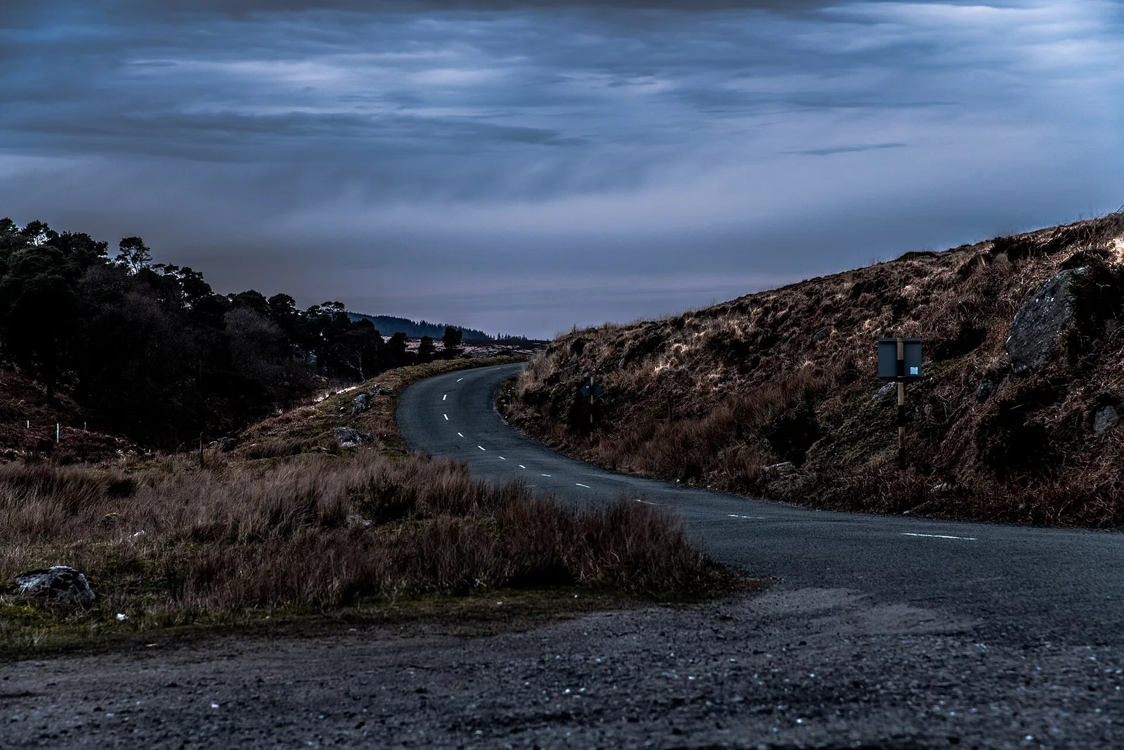
Wide bogland at Sally Gap in Wicklow Mountains National Park
Photo: Jonjobaker ↗ · CC BY-SA 4.0 ↗

Mountains & rock · Pass on the Military Road

Sally Gap

Wide bogland at the crossroads of the Military Road; small lay-bys along the road.

Bogland and wide views on the Military Road.

Military Road
58 km (36 mi)
Built
1801–1809

How to get there: bus 181 from Dublin or by car to Laragh

The Military Road

Built between 1801 and 1809, the road runs 58 km (36 mi) from Rathfarnham via Sally Gap and Glenmacnass Waterfall to Laragh and Aughavannagh, largely through the park.

NPWS: Wicklow Mountains National Park – walking trails, information office, Military Road, monastic sites ↗

Open in OpenStreetMap ↗Location source ↗

53.13774, -6.31228

Mountains & rock · Mountain on the Wicklow Way

Djouce

Here the Wicklow Way long-distance trail crosses the national park.

Hikes & routes in Glendalough: nine waymarked trails

Long-distance trails

The Wicklow Way (130 km, about seven days) crosses the park at Djouce and Glendalough; St Kevin's Way (30 km) ends at Glendalough.

NPWS: Wicklow Mountains National Park – walking trails, information office, Military Road, monastic sites ↗

Open in OpenStreetMap ↗Location source ↗

53.13086, -6.23991

Locations verified from the linked original sources and OpenStreetMap. The map shows no trails or park boundaries; markers do not imply that access is permitted.

Map: © OpenStreetMap contributors, OpenMapTiles, OpenFreeMap. Elevation: Terrain Tiles (Mapzen, AWS Open Data); 3DEP, GMTED2010 and SRTM courtesy of the U.S. Geological Survey; EU-DEM (Copernicus, European Union); ETOPO1 (NOAA); ArcticDEM (NSF, DigitalGlobe); Geoscience Australia; Open Data Austria (DGM); Open Government Licence – Canada; INEGI; Land Information New Zealand; Kartverket; Environment Agency (UK).

Park photo: Photo: Stipa Jennifer ↗ · CC BY-SA 4.0 ↗

Loading map …