National Parks Atlas
MapPDF

01 · Australia · Northern Territory

Uluṟu-Kata Tjuṯa National Park

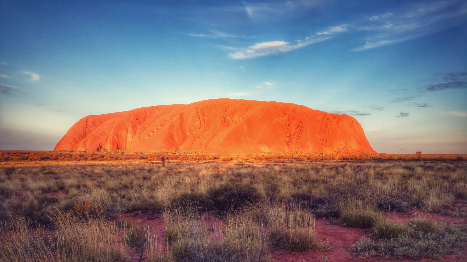
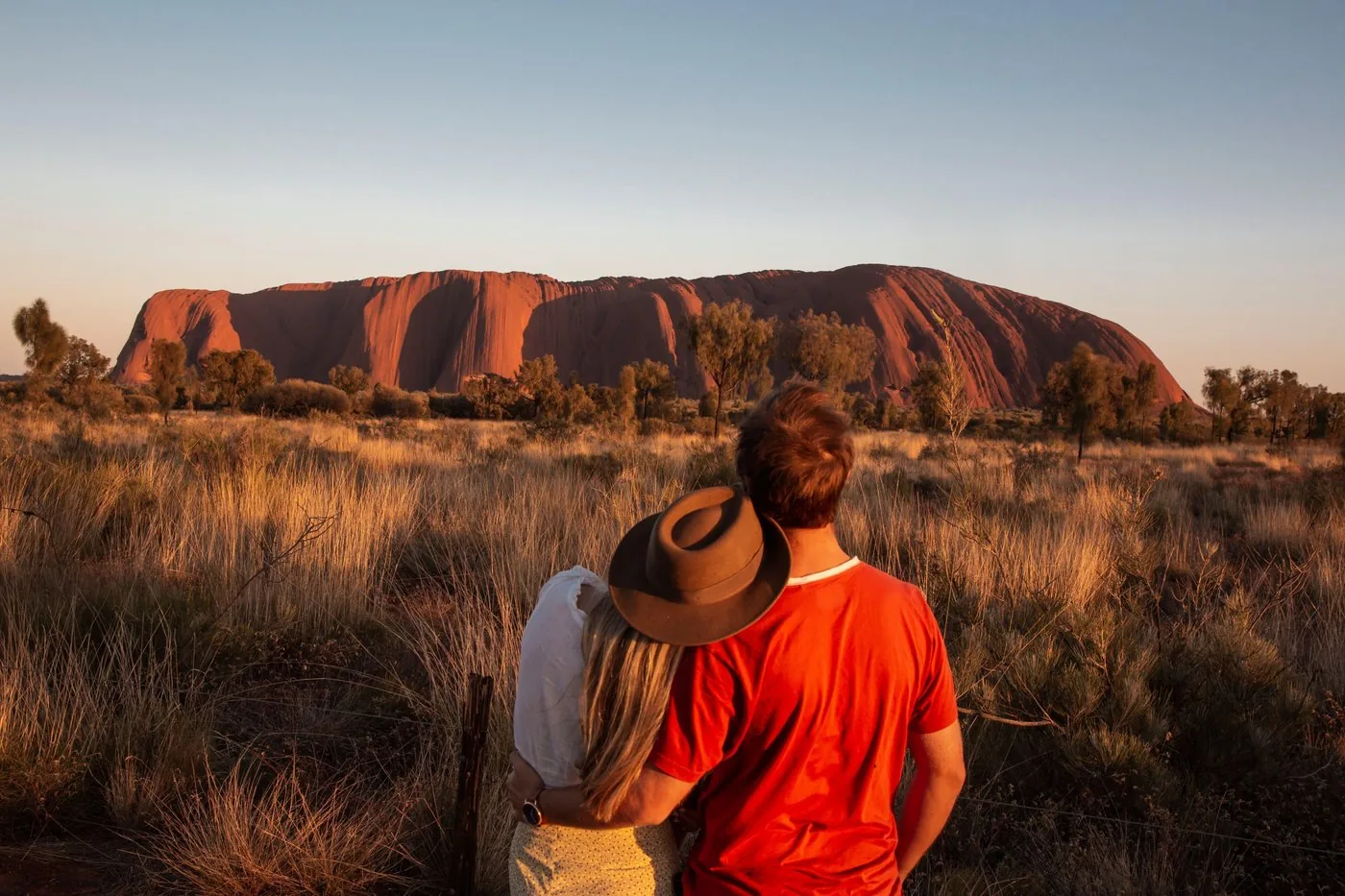
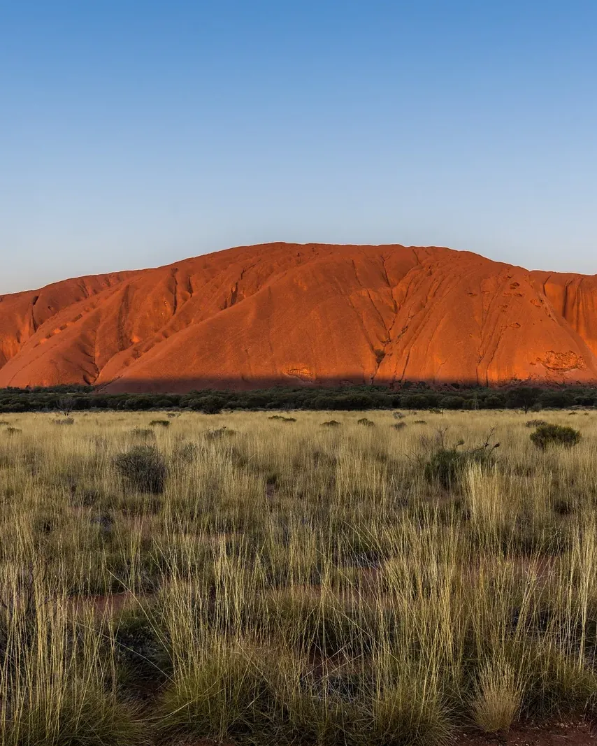
348 metres of sandstone in the middle of the desert, 36 domes beside it – and a park that belongs to the Anangu.

Photo: Matheus Hobold Sovernigo ↗ · CC BY-SA 4.0 ↗

Uluṟu-Kata Tjuṯa at a glance · PDF, 2 pages

Uluṟu-Kata Tjuṯa National Park: landscape and origins

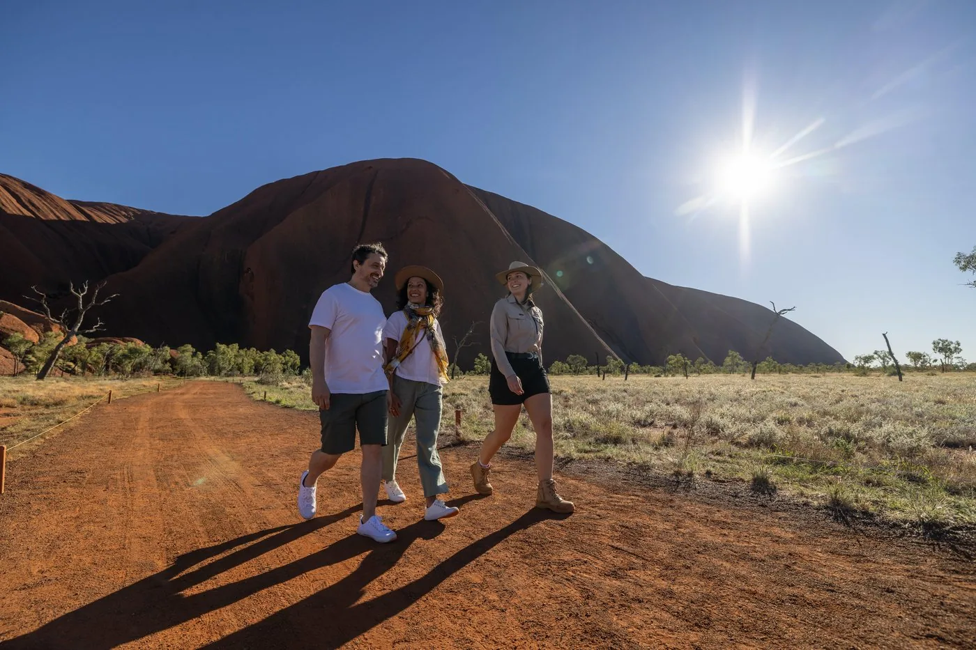
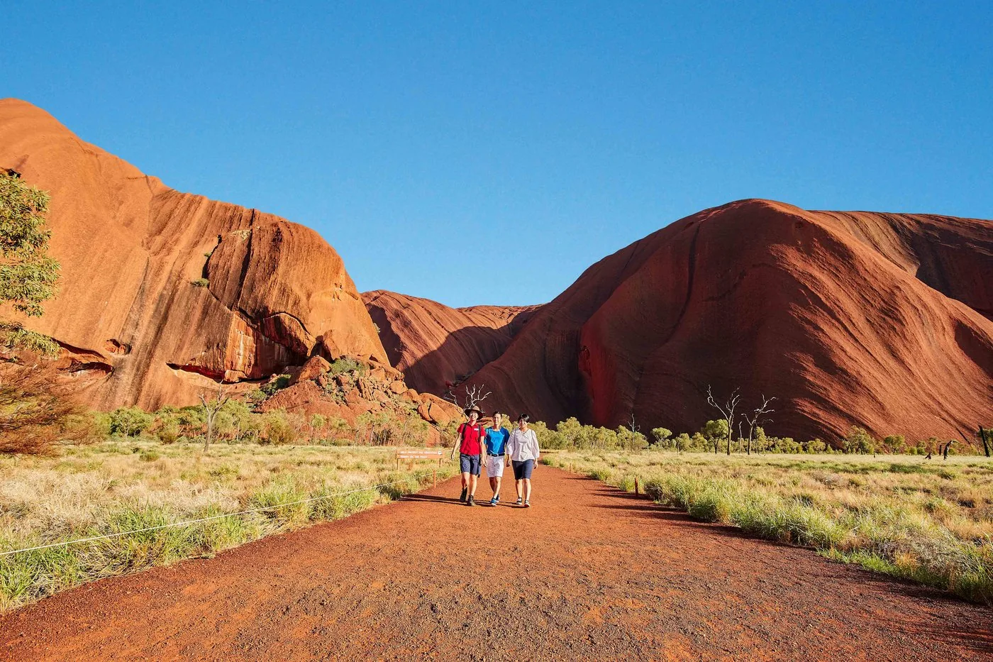
The Base Walk goes all the way around Uluru – and on each side the rock tells a different story.

At Mala Carpark the walk begins with the Mala Walk: caves where the Mala people camped when they arrived at Uluru, a kitchen cave, rock art and, at the end, Kantju Gorge. The free ranger walks also cover this section.

Then the path moves away from the rock: along the north-east face, the North-east Walk, there are especially many sacred sites. Here the Anangu ask visitors not to take photos at all – the stories of these rocks are meant to be learned only on site.

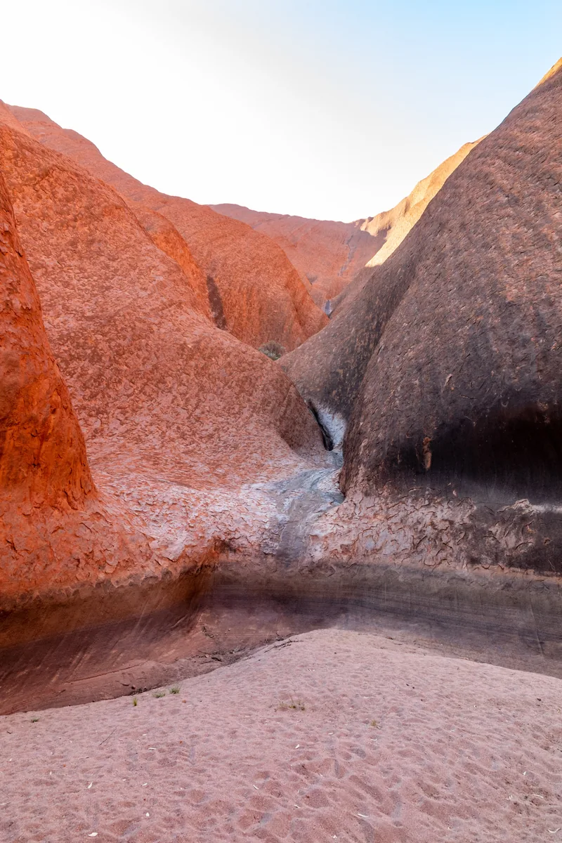
In the south the Kuniya Walk leads to Mutitjulu Waterhole, followed by the Lungkaṯa Walk close along the rock back to Mala Carpark.

The park authority recommends starting early. In summer you should finish before 11:00; it closes the North-east Walk from 11:00 when 40 °C is forecast, and the Lungkaṯa Walk from 14:00.

Parks Australia: Uluṟu Base Walk ↗

The park in numbers

Length
10.6 km loop
Duration
about 3.5 hours
Difficulty
Grade 3
Start
Mala Carpark
Direction
clockwise recommended
Sections
Mala, North-east, Kuniya, Lungkaṯa
Water
Drinking water and toilets along the way
In summer
finish before 11:00
Heat closure
North-east from 11:00 at 40 °C
Cost
included in the park pass

Visiting Uluru and Kata Tjuṯa: two rocks, one park pass

01

348 metres, 9.4 kilometres around

That is how high Uluru rises above the plain, and how far it is to walk around it. The rock is made of sandstone about 500 million years old.

Parks Australia: Uluṟu ↗

02

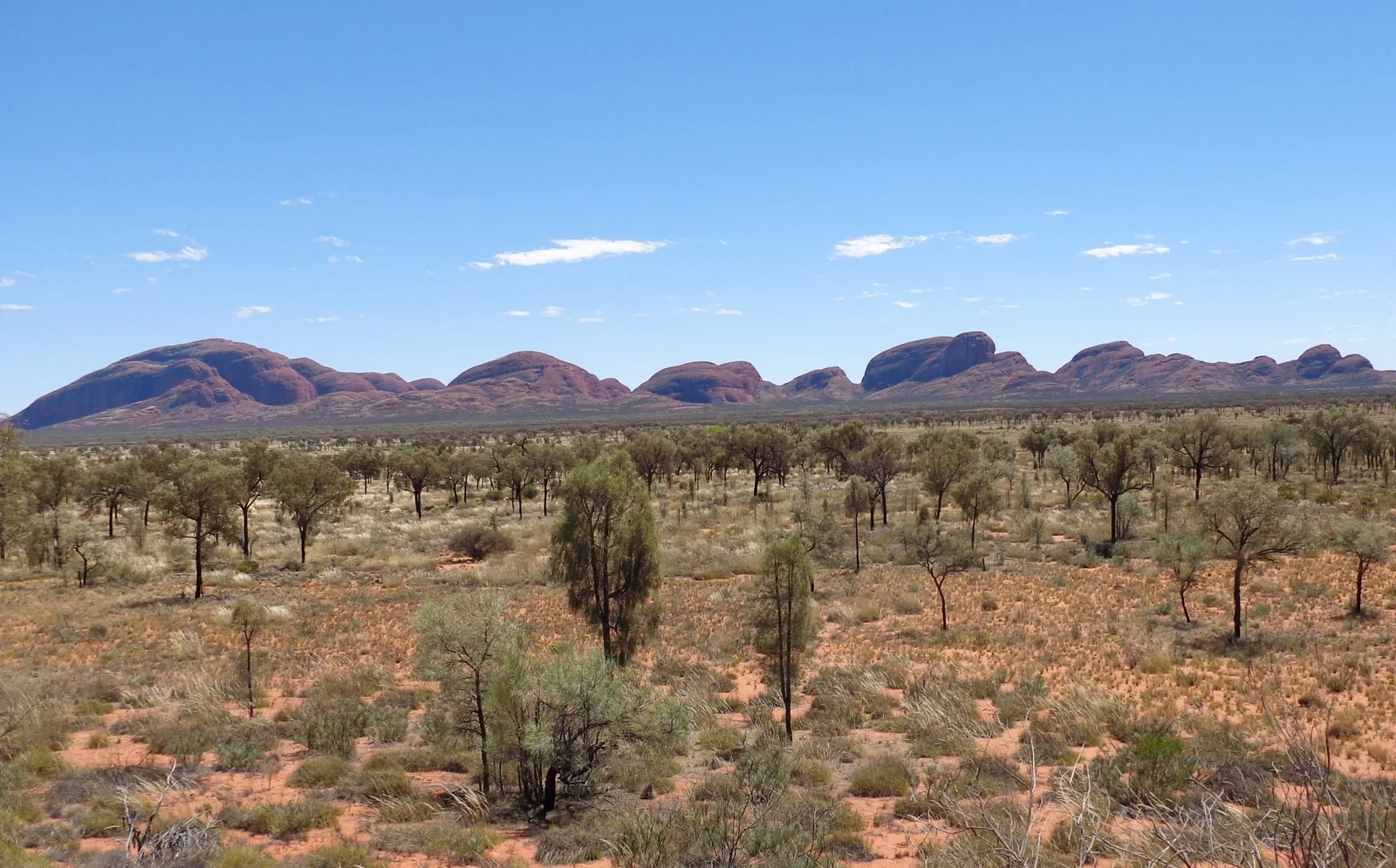
36 domes, up to 546 metres

Kata Tjuṯa, formerly “the Olgas”, lies 50 road kilometres to the west. The name means “many heads”; the highest dome rises 546 m (1,791 ft) above the plain.

Parks Australia: Kata Tjuṯa ↗

03

A park of the Anangu

In 1985 the Anangu received their land back. They lease it to the Australian Government and manage the park jointly with Parks Australia; the board has eight members nominated by the Traditional Owners.

Parks Australia: Joint management with the Anangu ↗

02 · Places

Map: Uluru, Kata Tjuṯa and Yulara

Lookouts, car parks and walks, each point referenced to OpenStreetMap.

Photo: Dietmar Rabich ↗ · CC BY-SA 4.0 ↗

Place in the park

Mutitjulu Waterhole and the Kuniya Walk

Water in the middle of the desert – and the setting of one of the great creation stories.

Walk
1 km return
Duration
30–45 minutes
Difficulty
Grade 2
Start
Kuniya Carpark

Parks Australia: Kuniya Walk and Mutitjulu Waterhole ↗

Map

17 places on the map

Lookouts, car parks and walks, each point referenced to OpenStreetMap.

Open map3D terrain · details and photos for every place
  • Viewpoints3
  • Mountains & rock1
  • Water1
  • Arrival5
  • Nature5
  • Surroundings2

03 · Out and about

Activities: Base Walk, Valley of the Winds, sunrise and sunset

Walk instead of climbing – and see the rocks in changing light.

Photo: Ed Dunens ↗ · CC BY 2.0 ↗

“You see it from far away – and only understand it once you walk around it.”

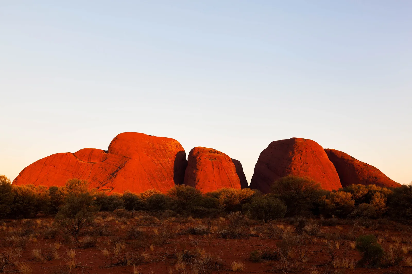
Uluṟu-Kata Tjuṯa National Park · Kata Tjuṯa in the morning light

Activities: Base Walk, Valley of the Winds, sunrise and sunset

Offer photo: Uluru: guided small-group walk around the rock, from sunrise

SEIT · Guided Base Walk · 6 hours

Uluru: guided small-group walk around the rock, from sunrise

Pickup one hour before sunrise, then on foot around Uluru: about 10.5 km with a guide, sunrise along the way, a picnic breakfast at the rock, the Kuniya Walk to Mutitjulu Waterhole and the Mala Walk to Kantju Gorge. At most eleven guests.

4.8 out of 5 stars273 reviews on GetYourGuidefrom €154.85as of 8 Oct

  • 6 hours
  • At most 11 guests
  • Breakfast included
  • Audio guide also in German

Departure Pickup at all Ayers Rock Resort hotels, about one hour before sunrise.

According to the list of inclusions, the tour covers an outback picnic breakfast, tea and coffee, pickup at the Ayers Rock Resort hotels and a driver-guide. The park pass is not included. Sturdy shoes are needed; you walk about 10.5 km. Free cancellation up to 3 days in advance.

View tour ↗Ad · partner link · checked 8 Oct 2026

More checked toursAd · partner link · checked 8 Oct 2026

  • Uluru: Segway tour around the whole rock at sunrise ↗Uluru Segway Tours · 5 hours · GetYourGuideThe whole base by Segway, plus on foot to Mutitjulu Waterhole; from age 12, bring your own park pass.

    4.9 out of 5 stars446 reviews on GetYourGuidefrom €161.07as of 8 Oct

Provider's product photo · GetYourGuide

Offer photo: Uluru: sacred sites, Mutitjulu Waterhole and sunset with wine

AAT Kings · In the evening · 5 hours

Uluru: sacred sites, Mutitjulu Waterhole and sunset with wine

In the afternoon by coach around Uluru, with the guide to Mutitjulu Waterhole and the rock art, then to the cultural centre – and to the viewing area for sunset, with sparkling wine, wine and nibbles while the rock changes colour.

4.5 out of 5 stars517 reviews on GetYourGuidefrom €115.76as of 8 Oct

  • 5 hours
  • Pickup at the resort
  • Sunset drinks
  • Guide in English

Departure Pickup and drop-off at the Ayers Rock Resort hotels.

According to the list of inclusions, the tour covers sunset snacks and drinks (sparkling wine, red and white wine, soft drinks, orange juice), the coach, pickup and drop-off, and live commentary. The A$38 park pass is not included and must be bought in advance; the operator says so itself. Bring at least 1 litre of water. Free cancellation up to 24 hours in advance.

View tour ↗Ad · partner link · checked 8 Oct 2026

More checked toursAd · partner link · checked 8 Oct 2026

Provider's product photo · GetYourGuide

Offer photo: From Yulara: 25 minutes by helicopter with views of Uluru and Kata Tjuṯa

Professional Helicopter Services · From the air · 25-minute flight

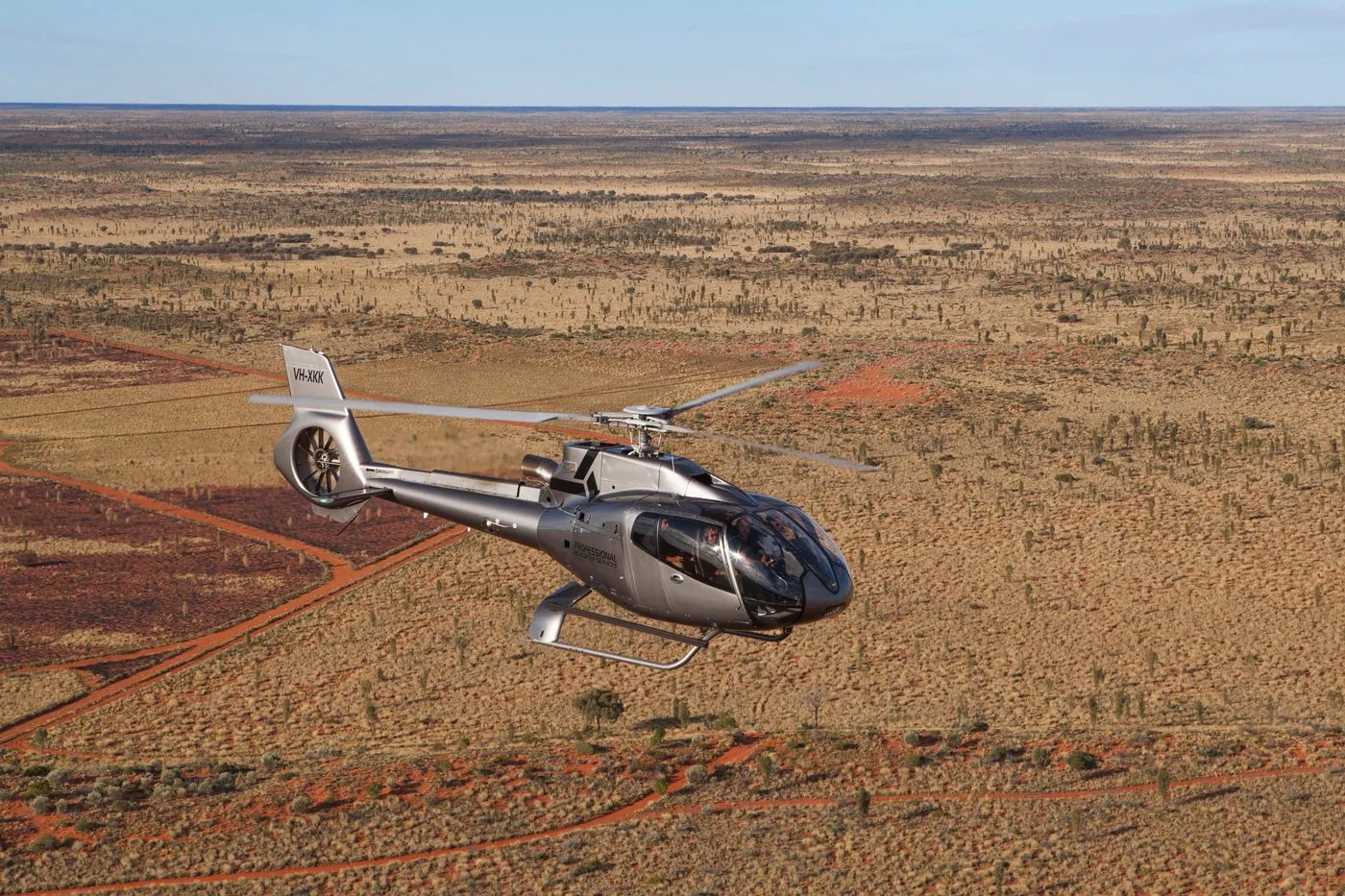
From Yulara: 25 minutes by helicopter with views of Uluru and Kata Tjuṯa

The flight departs from Ayers Rock Airport near Yulara, outside the park, and shows both rock formations from above. Out of respect for the Anangu, according to the operator, it does not fly directly over Uluru or Kata Tjuṯa or circle them.

4.8 out of 5 stars616 reviews on GetYourGuidefrom €195.89as of 8 Oct

  • 25-minute flight
  • About 1 hour including transfer
  • Pickup at the resort
  • At least 2 guests

Departure Pickup at your accommodation in the resort, coach to Ayers Rock Airport.

According to the list of inclusions, the tour covers the return transfer by air-conditioned coach, the pilot and the 25-minute flight. Not suitable for people over 125 kg, with reduced mobility or low fitness. Flights operate from two guests; the operator confirms departure times. The park authority asks visitors not to photograph the north-east face of Uluru clearly from the air either. Free cancellation up to 24 hours in advance.

View tour ↗Ad · partner link · checked 8 Oct 2026

More checked toursAd · partner link · checked 8 Oct 2026

  • Uluru: 15 minutes by helicopter ↗Professional Helicopter Services · 15 minutes · GetYourGuideThe short flight to Uluru only, same operator and same flight rule.

    4.9 out of 5 stars670 reviews on GetYourGuidefrom €121.27as of 8 Oct

Provider's product photo · GetYourGuide

Ad · we may earn a commission if you book through this partner link – at no extra cost to you. Thank you for supporting the atlas. Offer details checked 8 Oct 2026. See official ticket information.

Nature and culture: sandstone, conglomerate and Tjukurpa

Two debris fans, two rock types

Around 550 million years ago rain washed sand and gravel out of the Petermann Ranges. The sandy fan became arkose sandstone (Uluru), the stony one conglomerate (Kata Tjuṯa). Uluru was later tilted by 90 degrees.

Parks Australia: Geology ↗

Red is only skin-deep

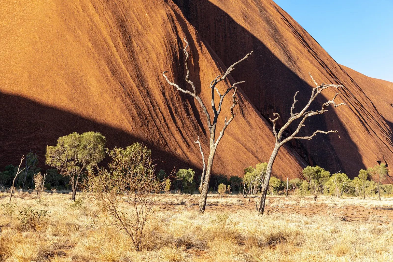
The red colour is iron rusting in the rock. The rock is originally grey, as you can see in many caves. Underground the beds reach down as far as six kilometres.

Parks Australia: Geology ↗

Tjukurpa

According to the Anangu creation stories, ancestral beings shaped the landscape. Their traces can be seen on the rock; some stories may only be heard by certain people.

Parks Australia: Walks in the park ↗

04 · Before you go

Park film and places nearby

Photo: Matheus Hobold Sovernigo ↗ · CC BY-SA 4.0 ↗

Film by Parks Australia

Uluṟu-Kata Tjuṯa: staying safe and respecting the culture

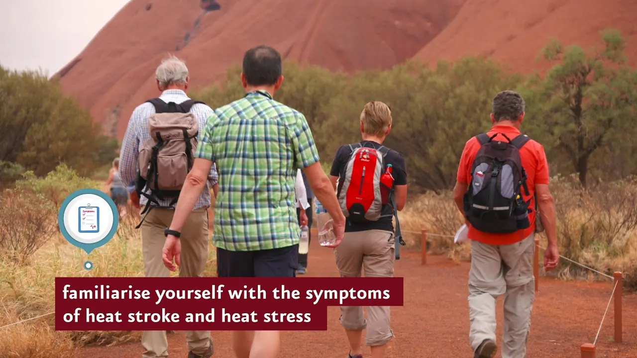
Two and a half minutes from the park authority's channel, originally made for film and photo crews: heat and water on the walks, and why some places must not be photographed. English, published 2019.

Source: Parks Australia · View channel ↗

Field book · Uluṟu-Kata Tjuṯa National Park

checked 8 Oct 2026

Uluṟu-Kata Tjuṯa at a glance · PDF, 2 pages ↓

00My visit

Nothing saved yet. Every place card has a pin, and so does every place on the Map. What you save collects here, with days, notes and a preview you can share.

01Best time to visit: May to September

In winter 20 to 30 °C by day, in summer regularly over 35.

May to September

Maximum temperatures are then usually between 20 and 30 °C (68 and 86 °F), there is hardly any rain, and walking is safer. Nights can drop below freezing, so pack warm clothes.

Parks Australia: Best time to visit, Yulara climate data (Bureau of Meteorology) ↗

Wildflowers in August and September

According to the park authority, these are usually the best months for flowering.

Parks Australia: Best time to visit, Yulara climate data (Bureau of Meteorology) ↗

October to March: heat and storms

Often over 35 °C by day, averaging 38.4 °C in January. In return, storms fill the waterholes and waterfalls pour down Uluru. Lots of flies: a head net helps.

Parks Australia: Best time to visit, Yulara climate data (Bureau of Meteorology) ↗

In summer, walk in the morning only

The park authority advises not to walk after 11:00 in summer and to avoid 14:30 to 18:30 all year round. Some walks close at 36 or 40 °C.

Parks Australia: Staying safe (heat, water, animals) ↗

The five Anangu seasons

The Anangu recognise five seasons, from Itjanu/Inuntji with rain (usually January to March) to Mai Wiyaringkupai/Kuli, the hottest time (usually late October to December).

Parks Australia: The five Anangu seasons ↗

Open daily, closed at night

Depending on the month, the park opens between 5:00 and 6:30 and closes between 19:30 and 21:00. Everyone must be out by then.

Parks Australia: Opening hours by month and cultural centre ↗

Climate through the year

Weather and climate in Uluṟu-Kata Tjuṯa National Park

Best months by the climate data: May to August. Average daytime highs of 20 to 24 °C, lows of 5 to 10 °C, 4 to 15 mm of precipitation a month. The hottest month is January, with average highs of 39 °C.

Climate chart in Uluṟu-Kata Tjuṯa National ParkAverage daily highs from 20 °C to 39 °C, lows from 5 °C to 23 °C; monthly precipitation from 4 mm to 39 mm.
All monthly values as a table
Monthly averages 2001–2020, NASA POWER model
MonthHigh °CLow °CPrecipitation mm
January38.823.321
February37.422.129
March34.419.328
April30.214.910
May24.39.711
June20.05.615
July20.65.112
August23.66.64
September29.011.39
October33.215.520
November35.718.929
December37.021.239
Year227

Modelled values, not a weather station: NASA POWER (MERRA-2) for a grid cell of about 55 × 65 km around the map point Uluru Car Sunset Viewing Area (25.34° S, 131.00° E), with an average cell elevation of about 550 m. Averages for 2001–2020. Higher ground and valleys can differ markedly.

Source: NASA POWER, climatology 2001–2020 ↗ · retrieved 8 Oct 2026

02Getting there: fly to Yulara or drive 465 kilometres from Alice Springs

There are no taxis and no public transport in the park.

Flying to Ayers Rock (AYQ)

The airport is near Yulara. Direct flights come from Sydney (about 3 hours), Melbourne (2 hours 40), Brisbane (3 hours 15) and Cairns (2 hours 50), operated by Virgin Australia, Qantas and Jetstar.

Parks Australia: Getting there (flights, car, tours) ↗

Show on the map

From Alice Springs: 465 kilometres

The road is sealed all the way; non-stop it takes about five and a half hours. Coming from Western Australia on the Great Central Road, the park authority recommends a four-wheel drive and a permit from the Central Land Council.

Parks Australia: Getting there (flights, car, tours) ↗

Book a hire car early

Cars are available at the airport, in Yulara and in Alice Springs. There are only a few in Yulara; the park authority advises booking a few weeks ahead.

Parks Australia: Getting there (flights, car, tours) ↗

Driving times from the resort

To Uluru 20 minutes, to Kata Tjuṯa 45 minutes, to Talinguṟu Nyakunytjaku 30 minutes, to the airport 10 minutes. All roads are sealed, and a normal car is fine.

Parks Australia: Getting around the park, driving times from the resort ↗

Without a car: hop-on hop-off or a tour

There are no taxis or scheduled buses. Without a car you hire one, book a hop-on hop-off pass or join a tour. The resort itself runs a free shuttle between the accommodation and the town centre.

Parks Australia: Getting around the park, driving times from the resort ↗

By bike around the rock

You can also cycle around Uluru: Outback Cycling hires out bikes. While the Liṟu Walk is closed, rentals start at Mala Carpark.

Parks Australia: Liṟu Walk closed, detour (alert of 1 April 2026) ↗

Show on the map

Uluru Hop on Hop Off · Into the park without a car · 1 to 3 days

From Ayers Rock Resort: hop-on hop-off pass to Uluru and Kata Tjuṯa

For everyone without a hire car: with the pass you ride from the resort to Uluru as often as you like on one, two or three days – for sunrise, the Base Walk, the cultural centre or sunset. One return trip to Kata Tjuṯa is included, two with the three-day pass.

4.5 out of 5 stars159 reviews on GetYourGuidefrom €87.06as of 8 Oct

Departure Pickup at the Ayers Rock Resort hotels: Desert Gardens, Sails in the Desert, campground, Outback Hotel and Lodge.

According to the list of inclusions, the pass covers pickup and drop-off at the resort hotels, the pass for one, two or three days, one return trip to Kata Tjuṯa and air-conditioned buses with local drivers. The park pass, which you buy yourself beforehand, is not included. You must send the operator your times and destinations for each day in advance; timetables change monthly. Free cancellation up to 24 hours in advance.

View tour ↗Ad · partner link · checked 8 Oct 2026

More checked toursAd · partner link · checked 8 Oct 2026

  • From Alice Springs: day trip to Uluru with a sunset barbecue ↗Emu Run Experience · 1 day · GetYourGuideThe long way in one day: 465 km from Alice Springs, cultural centre, Mala Walk, Mutitjulu Waterhole and sunset; buy the park pass yourself.

    4.7 out of 5 stars848 reviews on GetYourGuidefrom €248.13as of 8 Oct

Ad · we may earn a commission if you book through this partner link – at no extra cost to you. Thank you for supporting the atlas. Offer details checked 8 Oct 2026. See official ticket information.

03Fees: park pass A$38 for three days

Children and teenagers under 18 pay nothing – and the pass is valid for this one park only.

A$38 for three days

All adults aged 18 and over need the park pass. It is valid for three days. Children and teenagers under 18 enter free.

Parks Australia: Buy a park pass (prices, validity, how the money is shared) ↗

Annual pass A$50

If you come more often, buy the adult annual pass for A$50. For vehicles registered in the Northern Territory there is an annual pass for A$109 that covers the driver and all passengers.

Parks Australia: Buy a park pass (prices, validity, how the money is shared) ↗

Buy online, scan at the station

You buy the pass online and show it printed or on your phone; at the entry station the left lane opens the gate by QR code. If you cannot buy online, you can get it at the station.

Parks Australia: Buy a park pass (prices, validity, how the money is shared) ↗

Not valid for Kakadu

The pass is valid for Uluṟu-Kata Tjuṯa only. Kakadu has its own pass, and the other parks in the Northern Territory are managed by the territory government.

Parks Australia: Buy a park pass (prices, validity, how the money is shared) ↗

Where the money goes

A quarter goes directly to the Anangu as rent, 40 per cent to operations, 15 per cent to rangers and cultural programmes, 20 per cent to protecting nature and culture.

Parks Australia: Buy a park pass (prices, validity, how the money is shared) ↗

Refunds only in exceptional cases

You only get your money back if you can show that you have not used and will not use the pass in the season for which it was bought. Parks Australia has a form for this.

Parks Australia: Frequently asked questions (camping, dogs, drones, alcohol, resort, refunds) ↗

Visiting Uluru and Kata Tjuṯa: two rocks, one park pass

In the heart of the Red Centre, 465 road kilometres south-west of Alice Springs.

348 metres, 9.4 kilometres around

That is how high Uluru rises above the plain, and how far it is to walk around it. The rock is made of sandstone about 500 million years old.

Parks Australia: Uluṟu ↗

36 domes, up to 546 metres

Kata Tjuṯa, formerly “the Olgas”, lies 50 road kilometres to the west. The name means “many heads”; the highest dome rises 546 m (1,791 ft) above the plain.

Parks Australia: Kata Tjuṯa ↗

A park of the Anangu

In 1985 the Anangu received their land back. They lease it to the Australian Government and manage the park jointly with Parks Australia; the board has eight members nominated by the Traditional Owners.

Parks Australia: Joint management with the Anangu ↗

Dual World Heritage

Inscribed on the World Heritage List in 1987 for its natural values and in 1994 also as a cultural landscape – one of only four such dual listings in Australia.

Parks Australia: World Heritage (1987 natural, 1994 cultural) ↗

Over 250,000 visitors a year

That is how many come each year, according to the park authority. Uluru has been a national park since 1950, and the park has been called Uluṟu-Kata Tjuṯa since 1993.

Parks Australia: Facts about Uluru and Kata Tjuṯa ↗

Contact: cultural centre

The cultural centre on the main road to Uluru is open daily from 7:00 to 17:45, phone +61 8 8956 1128.

Parks Australia: Cultural centre ↗

Show on the map

Activities: Base Walk, Valley of the Winds, sunrise and sunset

Walk instead of climbing – and see the rocks in changing light.

Base Walk: 10.6 kilometres around the rock

The loop takes about 3.5 hours around the whole of Uluru. The park authority recommends starting early at Mala Carpark and walking clockwise.

Parks Australia: Uluṟu Base Walk ↗

Show on the map

Free ranger-guided walk

Rangers guide the Mala Walk daily: from October to April at 8:00, from May to September at 10:00. All ranger programmes are free.

Parks Australia: Free ranger-guided walks ↗

Show on the map

Mutitjulu Waterhole

The Kuniya Walk is only 1 km long and leads to one of the few permanent waterholes. This is where the story of Kuniya, the python woman, and Liru, the snake man, takes place.

Parks Australia: Kuniya Walk and Mutitjulu Waterhole ↗

Show on the map

Valley of the Winds: 7.4 kilometres

Steep, rocky, grade 4, three to four hours. A shorter option is Karu Lookout, 2.2 km return.

Parks Australia: Valley of the Winds ↗

Show on the map

Waḻpa Gorge: one hour

2.6 km return into a gorge between two large domes, with rare plants and sometimes euros (hill kangaroos).

Parks Australia: Waḻpa Gorge ↗

Show on the map

Five viewing areas for sunrise and sunset

Talinguṟu Nyakunytjaku for sunrise at Uluru, the Sunset Viewing Area for the evening, plus two areas at Kata Tjuṯa. Coaches use a separate evening area.

Parks Australia: Car sunset viewing area ↗

Show on the map

Nature and culture: sandstone, conglomerate and Tjukurpa

Two rocks from the same mountain range – and stories that not everyone may hear.

Two debris fans, two rock types

Around 550 million years ago rain washed sand and gravel out of the Petermann Ranges. The sandy fan became arkose sandstone (Uluru), the stony one conglomerate (Kata Tjuṯa). Uluru was later tilted by 90 degrees.

Parks Australia: Geology ↗

Red is only skin-deep

The red colour is iron rusting in the rock. The rock is originally grey, as you can see in many caves. Underground the beds reach down as far as six kilometres.

Parks Australia: Geology ↗

Tjukurpa

According to the Anangu creation stories, ancestral beings shaped the landscape. Their traces can be seen on the rock; some stories may only be heard by certain people.

Parks Australia: Walks in the park ↗

Wildlife: 21 mammals, 73 reptiles, 178 birds

Plus four desert frog species and more than 400 plant species. After heavy rain, shield shrimp hatch in rock pools; their eggs survive for years in the dry.

Parks Australia: Facts about Uluru and Kata Tjuṯa ↗

300 millimetres of rain a year

Up to 47 °C in summer, down to minus 7 °C at night in winter – and still around 300 mm of rain a year.

Parks Australia: Facts about Uluru and Kata Tjuṯa ↗

04Where to stay: outside the park only, in Yulara

There are no hotels or campgrounds in the park.

Ayers Rock Resort in Yulara

Almost all accommodation belongs to Ayers Rock Resort, an Aboriginal-owned business run by Voyages Indigenous Tourism Australia – not by the park authority. Ten minutes to the entry station.

Parks Australia: Ayers Rock Resort and Yulara ↗

Show on the map

Camping at the resort or at Curtin Springs

Camping is not allowed in the park. There is a campground at the resort and at Curtin Springs cattle station, about 100 km (62 mi) from the park.

Parks Australia: Camping (outside the park only) ↗

Exception: a guided five-day walk

Since April 2026 the Tasmanian Walking Company, in agreement with the Anangu, has offered a 54-kilometre walk from Kata Tjuṯa to the cultural centre, with four nights in camps and a lodge in the park. It is the only way to stay overnight in the park and runs from May to September in small groups.

Parks Australia: New five-day walk in the park (news of 30 April 2026) ↗

Stars only from outside

As the park closes at night, night photography has to be done outside it. The park authority mentions a dune lookout on the Lasseter Highway between the entry station and the resort.

Parks Australia: Photography, sensitive sites, drone ban ↗

05Rules at Uluru: no climbing, no photos of sensitive sites

Tjukurpa, the law of the Anangu, applies in the park – as does Australian environmental law.

Climbing banned since 2019

The climb has been permanently closed since 26 October 2019, the 34th anniversary of the handback. Anyone who climbs anyway breaches the federal environment act (EPBC Act) and faces penalties.

Parks Australia: Closure of the climb on 26 October 2019 ↗

No photography at sensitive sites

Some places at Uluru and Kata Tjuṯa must not be photographed; signs mark them. The north-east face of Uluru between Kantju Gorge and Kuniya Piti is entirely off limits – images taken from the resort, from the Field of Light or from a plane should not show it clearly either.

Parks Australia: North-east Walk (no photography) ↗

No photos of the rocks in the Valley of the Winds

The Valley of the Winds is a men's site. Along the whole walk the Anangu ask visitors not to take photos or videos of the rocks; plants, animals and people are fine.

Parks Australia: Valley of the Winds ↗

No drones

Drones and other remotely operated devices are banned throughout the park. Flying one breaches the EPBC Act.

Parks Australia: Frequently asked questions (camping, dogs, drones, alcohol, resort, refunds) ↗

No dogs, no swimming

Dogs are not allowed in any Commonwealth national park, although assistance dogs on a lead are. Swimming in the waterholes is not allowed.

Parks Australia: Frequently asked questions (camping, dogs, drones, alcohol, resort, refunds) ↗

Alcohol at two places only

The park is largely alcohol-free. Alcohol is only allowed at the two sunset viewing areas at Uluru, for cars and for coaches.

Parks Australia: Frequently asked questions (camping, dogs, drones, alcohol, resort, refunds) ↗

One litre of water per hour

Drink at least one litre per person per hour, wear a hat and sturdy shoes, and never walk alone. In an emergency call 000, or 112 from a mobile.

Parks Australia: Staying safe (heat, water, animals) ↗

06Frequently asked questions: Uluṟu-Kata Tjuṯa National Park

How much does it cost to enter Uluru?

The park pass costs A$38 for adults aged 18 and over and is valid for three days. Children and teenagers under 18 pay nothing. An annual pass costs A$50. You can buy it online or at the entry station.

Parks Australia: Buy a park pass (prices, validity, how the money is shared) ↗

Can you climb Uluru?

No. The climb has been permanently closed since 26 October 2019. Anyone who tries anyway breaches the EPBC Act and faces a penalty.

Parks Australia: Closure of the climb on 26 October 2019 ↗

Is the Field of Light in the national park?

No. The light installation belongs to Ayers Rock Resort and lies outside the park. From there you see the north-east face of Uluru; the Anangu ask visitors not to show it clearly in photos.

Parks Australia: Photography, sensitive sites, drone ban ↗

Where are you not allowed to take photos at Uluru?

At the sites signposted as sensitive, along the whole north-east face between Kantju Gorge and Kuniya Piti, and on the Valley of the Winds walk at Kata Tjuṯa. Photograph Anangu people only with their permission.

Parks Australia: Photography, sensitive sites, drone ban ↗

How do I get to Uluru?

The fastest way is to fly to Ayers Rock (AYQ) near Yulara, direct from Sydney, Melbourne, Brisbane or Cairns. By car it is 465 km (289 mi) from Alice Springs, about five and a half hours.

Parks Australia: Getting there (flights, car, tours) ↗

Can you stay overnight in the national park?

No, camping is not allowed in the park, and it is closed at night. You stay at Ayers Rock Resort in Yulara, ten minutes from the entry station. The only exception is a guided five-day walk with camps in the park.

Parks Australia: Frequently asked questions (camping, dogs, drones, alcohol, resort, refunds) ↗

When is the best time to visit Uluru?

May to September: maximum temperatures are then usually between 20 and 30 °C. From October to March it often gets hotter than 35 °C; then walk only early in the morning.

Parks Australia: Best time to visit, Yulara climate data (Bureau of Meteorology) ↗

How long does the Base Walk take?

About three and a half hours for 10.6 km (6.6 mi). It is best to start early at Mala Carpark and walk clockwise.

Parks Australia: Uluṟu Base Walk ↗

When is the park open?

Every day, but not at night: in December and January from 5:00 to 21:00, in June and July from 6:30 to 19:30. The cultural centre opens daily from 7:00 to 17:45.

Parks Australia: Opening hours by month and cultural centre ↗

07Where the information comes from

Parks Australia (official park website uluru.gov.au), UNESCO and OpenStreetMap; offers checked with the providers.

  1. Parks Australia: Uluṟu-Kata Tjuṯa National Park (official website) ↗
  2. Parks Australia: Buy a park pass (prices, validity, how the money is shared) ↗
  3. Parks Australia: Opening hours by month and cultural centre ↗
  4. Parks Australia: Frequently asked questions (camping, dogs, drones, alcohol, resort, refunds) ↗
  5. Parks Australia: Facts about Uluru and Kata Tjuṯa ↗
  6. Parks Australia: Uluṟu ↗
  7. Parks Australia: Kata Tjuṯa ↗
  8. Parks Australia: Closure of the climb on 26 October 2019 ↗
  9. Parks Australia: Respecting Anangu culture ↗
  10. Parks Australia: Photography, sensitive sites, drone ban ↗
  11. Parks Australia: Getting there (flights, car, tours) ↗
  12. Parks Australia: Getting around the park, driving times from the resort ↗
  13. Parks Australia: Staying safe (heat, water, animals) ↗
  14. Parks Australia: Best time to visit, Yulara climate data (Bureau of Meteorology) ↗
  15. Parks Australia: The five Anangu seasons ↗
  16. Parks Australia: Walks in the park ↗
  17. Parks Australia: Uluṟu Base Walk ↗
  18. Parks Australia: Mala Walk ↗
  19. Parks Australia: Kuniya Walk and Mutitjulu Waterhole ↗
  20. Parks Australia: North-east Walk (no photography) ↗
  21. Parks Australia: Lungkaṯa Walk ↗
  22. Parks Australia: Valley of the Winds ↗
  23. Parks Australia: Waḻpa Gorge ↗
  24. Parks Australia: Talinguṟu Nyakunytjaku (sunrise) ↗
  25. Parks Australia: Car sunset viewing area ↗
  26. Parks Australia: Kata Tjuṯa Dune Viewing Area ↗
  27. Parks Australia: Kata Tjuṯa Sunset Viewing Area ↗
  28. Parks Australia: Free ranger-guided walks ↗
  29. Parks Australia: Cultural centre ↗
  30. Parks Australia: Ayers Rock Resort and Yulara ↗
  31. Parks Australia: Camping (outside the park only) ↗
  32. Parks Australia: World Heritage (1987 natural, 1994 cultural) ↗
  33. UNESCO World Heritage Centre: Uluru-Kata Tjuta National Park (area 132,566 ha) ↗
  34. Parks Australia: Geology ↗
  35. Parks Australia: Joint management with the Anangu ↗
  36. Parks Australia: Permits (filming, drones, Aboriginal land) ↗
  37. Parks Australia: Alerts and closures ↗
  38. Parks Australia: Liṟu Walk closed, detour (alert of 1 April 2026) ↗
  39. Parks Australia: New five-day walk in the park (news of 30 April 2026) ↗

How current is this information?

Researched 8 Oct 2026. Not a live status. Dates apply only to the year stated. A successful automatic fetch is not an editorial confirmation; outdated automatic values are hidden and replaced by the source link.

Current information from the park ↗

Image and map credits

Location sources: All points come from OpenStreetMap and are individually referenced by their object number. Whether they lie inside the park was checked against the OpenStreetMap boundary of the national park (relation 8314513): Yulara with Ayers Rock Resort, the airport and the Field of Light installation are outside, all other points inside. The entry station is not mapped in OpenStreetMap and is therefore missing. Markers do not imply that access is permitted. Base map © OpenStreetMap contributors. Coastlines of the chapter map: Natural Earth.

End of the field book · Park authority ↗