All places
Uluṟu-Kata Tjuṯa Cultural Centre Information, exhibition, galleries and the only café in the park. Daily 7:00 to 17:45.
Visiting Uluru and Kata Tjuṯa: two rocks, one park pass
Contact: cultural centre The cultural centre on the main road to Uluru is open daily from 7:00 to 17:45, phone +61 8 8956 1128.
Parks Australia: Cultural centre ↗
Add to your Uluṟu-Kata Tjuṯa National Park visit Open in OpenStreetMap ↗ Location source ↗
-25.35977, 131.01741
All places
Mala Carpark The free ranger-guided walk starts here. From October to April at 8:00, from May to September at 10:00.
Activities: Base Walk, Valley of the Winds, sunrise and sunset
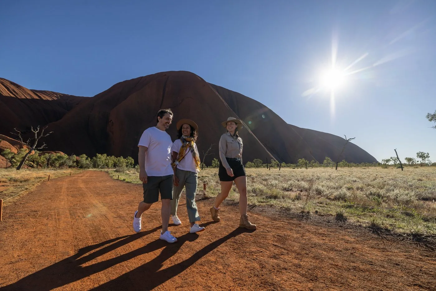
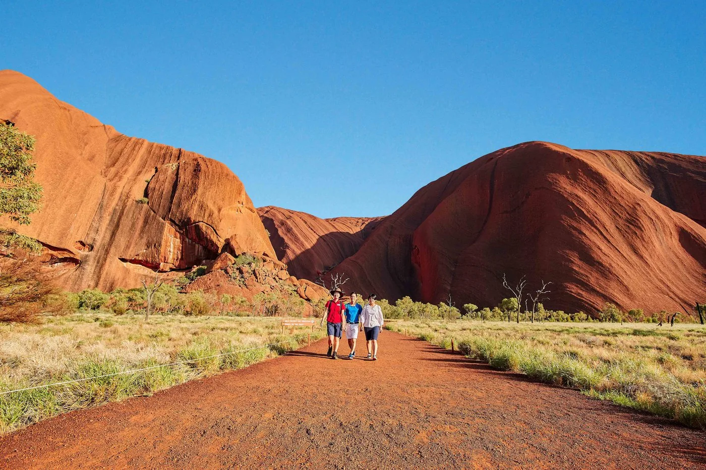
Base Walk: 10.6 kilometres around the rock The loop takes about 3.5 hours around the whole of Uluru. The park authority recommends starting early at Mala Carpark and walking clockwise.
Parks Australia: Uluṟu Base Walk ↗
Activities: Base Walk, Valley of the Winds, sunrise and sunset
Free ranger-guided walk Rangers guide the Mala Walk daily: from October to April at 8:00, from May to September at 10:00. All ranger programmes are free.
Parks Australia: Free ranger-guided walks ↗
Add to your Uluṟu-Kata Tjuṯa National Park visit Open in OpenStreetMap ↗ Location source ↗
-25.34246, 131.02140
All places
Kantju Gorge A quiet gorge with sheer walls and a waterhole. Usually calm at sunset, according to the park authority.
Add to your Uluṟu-Kata Tjuṯa National Park visit Open in OpenStreetMap ↗ Location source ↗
-25.34029, 131.02925
All places
Kuniya Carpark Starting point for the short walk to Mutitjulu Waterhole.
Add to your Uluṟu-Kata Tjuṯa National Park visit Open in OpenStreetMap ↗ Location source ↗
-25.35517, 131.03321
All places
Kapi Mutitjulu (Mutitjulu Waterhole) 1 km return from Kuniya Carpark. Swimming is not allowed in the park.
Activities: Base Walk, Valley of the Winds, sunrise and sunset
Mutitjulu Waterhole The Kuniya Walk is only 1 km long and leads to one of the few permanent waterholes. This is where the story of Kuniya, the python woman, and Liru, the snake man, takes place.
Parks Australia: Kuniya Walk and Mutitjulu Waterhole ↗
Add to your Uluṟu-Kata Tjuṯa National Park visit Open in OpenStreetMap ↗ Location source ↗
-25.35113, 131.03269
All places
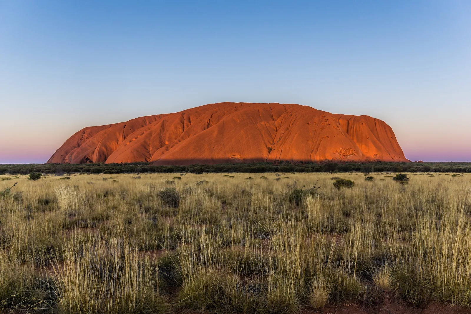
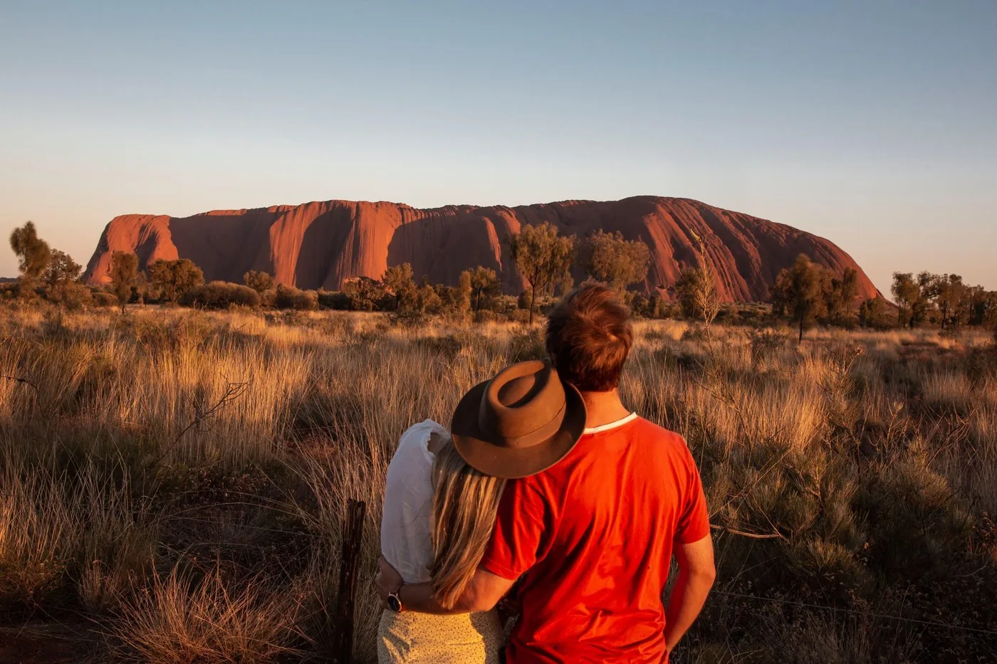
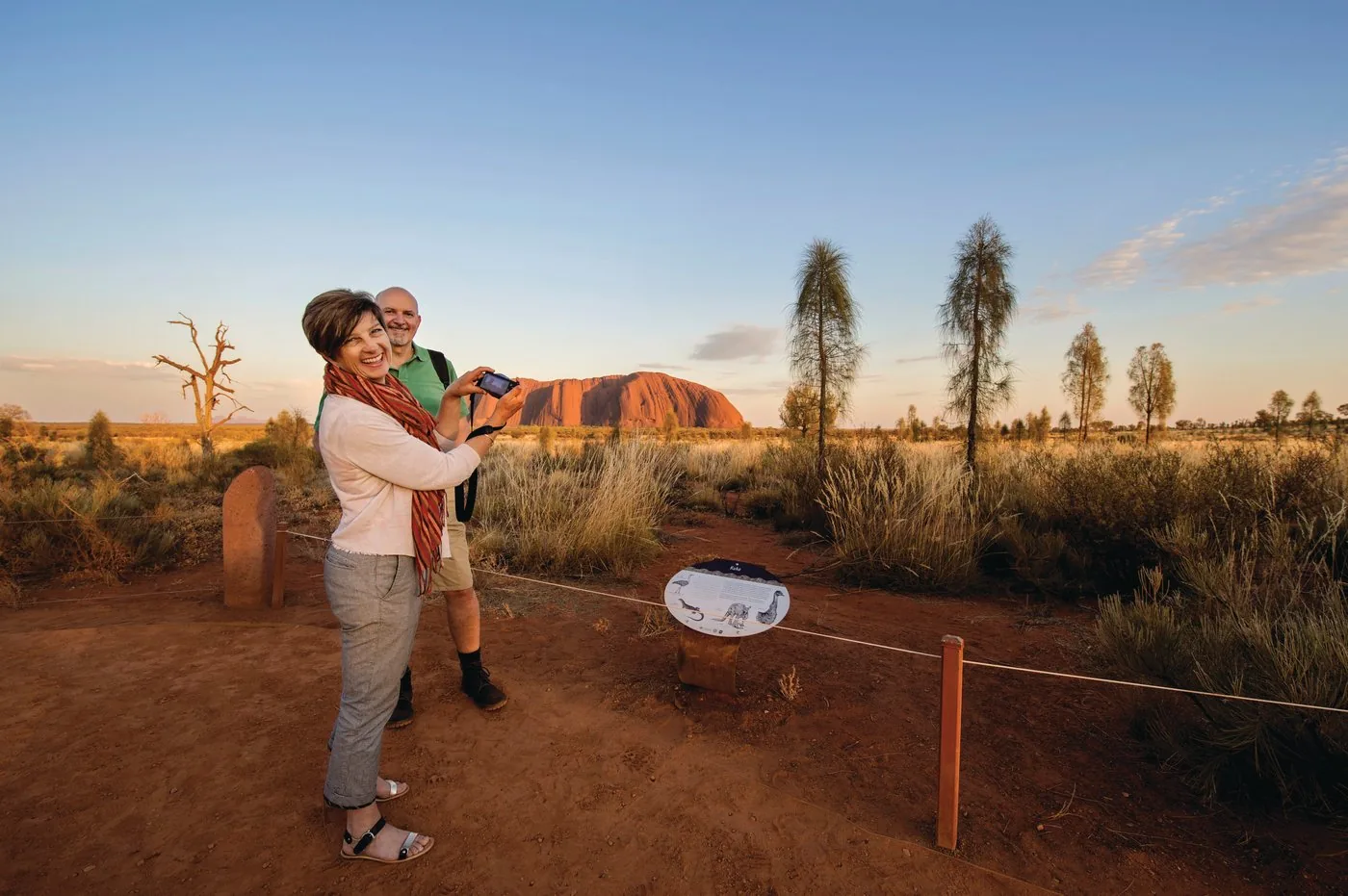
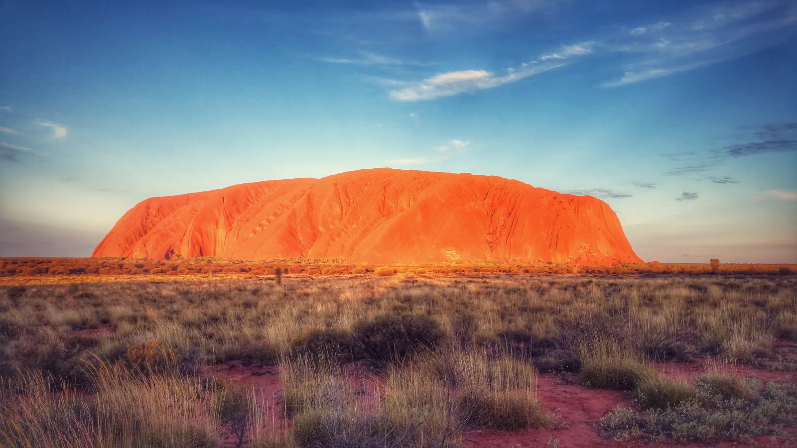
Uluru Car Sunset Viewing Area The classic view of the whole rock. One of two places in the park where alcohol is allowed.
Activities: Base Walk, Valley of the Winds, sunrise and sunset
Five viewing areas for sunrise and sunset Talinguṟu Nyakunytjaku for sunrise at Uluru, the Sunset Viewing Area for the evening, plus two areas at Kata Tjuṯa. Coaches use a separate evening area.
Parks Australia: Car sunset viewing area ↗
Add to your Uluṟu-Kata Tjuṯa National Park visit Open in OpenStreetMap ↗ Location source ↗
-25.33537, 131.00452
All places Photo: Hardlinerr ↗ · CC BY-SA 4.0 ↗
Talinguṟu Nyakunytjaku Platforms with views of Uluru and Kata Tjuṯa, plus two short cultural walks. 35 minutes from Yulara.
The place where the rock takes on colour in the first light.
From Yulara 35 minutes
Minymaku Walk 1 km, 30 minutes
Watiku Walk 1.5 km, 45 minutes
Wheelchair accessible Add to your Uluṟu-Kata Tjuṯa National Park visit Open in OpenStreetMap ↗ Location source ↗
-25.36968, 131.06290
All places Photo: Michael John Sankey ↗ · CC BY-SA 4.0 ↗
Kata Tjuṯa Dune Viewing Panorama across the domes, Uluru on the horizon. No toilets, no water.
Own page
Kata Tjuṯa 36 domes, up to 546 metres high – a men's site whose stories are not told to visitors.
Walks & photo rules
Guided from here · Ad
Partner links: we may earn a commission if you book – at no extra cost to you. Thank you for supporting the atlas. Dates and prices with the provider.
Add to your Uluṟu-Kata Tjuṯa National Park visit Open in OpenStreetMap ↗ Location source ↗
-25.35101, 130.78693
All places
Waḻpa Gorge One hour return between two of the largest domes.
Own page
Kata Tjuṯa 36 domes, up to 546 metres high – a men's site whose stories are not told to visitors.
Walks & photo rules
Activities: Base Walk, Valley of the Winds, sunrise and sunset
Waḻpa Gorge: one hour 2.6 km return into a gorge between two large domes, with rare plants and sometimes euros (hill kangaroos).
Parks Australia: Waḻpa Gorge ↗
Add to your Uluṟu-Kata Tjuṯa National Park visit Open in OpenStreetMap ↗ Location source ↗
-25.30042, 130.72312
All places
Valley of the Winds The most demanding walk in the park. At 36 °C and above it closes from 11:00 at Karu Lookout.
Own page
Kata Tjuṯa 36 domes, up to 546 metres high – a men's site whose stories are not told to visitors.
Walks & photo rules
Activities: Base Walk, Valley of the Winds, sunrise and sunset
Valley of the Winds: 7.4 kilometres Steep, rocky, grade 4, three to four hours. A shorter option is Karu Lookout, 2.2 km return.
Parks Australia: Valley of the Winds ↗
Add to your Uluṟu-Kata Tjuṯa National Park visit Open in OpenStreetMap ↗ Location source ↗
-25.28486, 130.72581
All places
Karu Lookout 2.2 km return, about an hour. No photos of the rocks here; it is a men's site.
Own page
Kata Tjuṯa 36 domes, up to 546 metres high – a men's site whose stories are not told to visitors.
Walks & photo rules
Add to your Uluṟu-Kata Tjuṯa National Park visit Open in OpenStreetMap ↗ Location source ↗
-25.28620, 130.73613
All places
Kata Tjuṯa Sunset Viewing Area Picnic area with toilets. The Anangu ask you to include at least three domes in the frame.
Own page
Kata Tjuṯa 36 domes, up to 546 metres high – a men's site whose stories are not told to visitors.
Walks & photo rules
Add to your Uluṟu-Kata Tjuṯa National Park visit Open in OpenStreetMap ↗ Location source ↗
-25.29491, 130.70791
All places
Yulara Town Square All accommodation, shops and the campground. Ten minutes' drive to the entry station.
Where to stay: outside the park only, in Yulara
Ayers Rock Resort in Yulara Almost all accommodation belongs to Ayers Rock Resort, an Aboriginal-owned business run by Voyages Indigenous Tourism Australia – not by the park authority. Ten minutes to the entry station.
Parks Australia: Ayers Rock Resort and Yulara ↗
Add to your Uluṟu-Kata Tjuṯa National Park visit Open in OpenStreetMap ↗ Location source ↗
-25.24125, 130.98358
All places
Ayers Rock Airport Direct flights from Sydney, Melbourne, Brisbane and Cairns. Ten minutes to the resort.
Getting there: fly to Yulara or drive 465 kilometres from Alice Springs
Flying to Ayers Rock (AYQ) The airport is near Yulara. Direct flights come from Sydney (about 3 hours), Melbourne (2 hours 40), Brisbane (3 hours 15) and Cairns (2 hours 50), operated by Virgin Australia, Qantas and Jetstar.
Parks Australia: Getting there (flights, car, tours) ↗
Guided from here · Ad
Partner links: we may earn a commission if you book – at no extra cost to you. Thank you for supporting the atlas. Dates and prices with the provider.
Add to your Uluṟu-Kata Tjuṯa National Park visit Open in OpenStreetMap ↗ Location source ↗
-25.18185, 130.97577
All places
Field of Light Belongs to Ayers Rock Resort, not to the national park. From here you see the north-east face of Uluru.
Add to your Uluṟu-Kata Tjuṯa National Park visit Open in OpenStreetMap ↗ Location source ↗
-25.25362, 130.99703
All places
Karingaṉa Lookout According to the park authority, if you walk this far you may as well do the whole loop.
Own page
Kata Tjuṯa 36 domes, up to 546 metres high – a men's site whose stories are not told to visitors.
Walks & photo rules
Add to your Uluṟu-Kata Tjuṯa National Park visit Open in OpenStreetMap ↗ Location source ↗
-25.29204, 130.74166
All places Photo: June Lennie ↗ · CC BY-SA 4.0 ↗
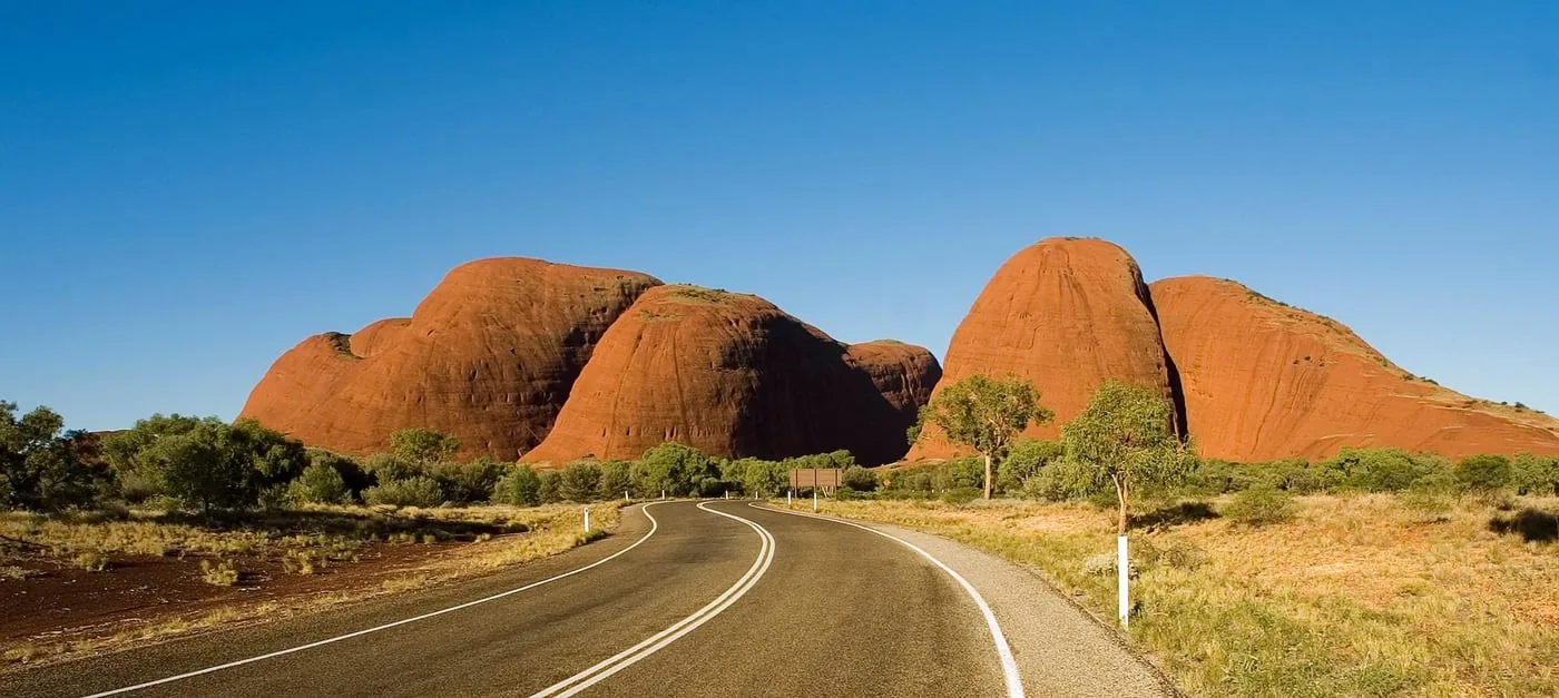
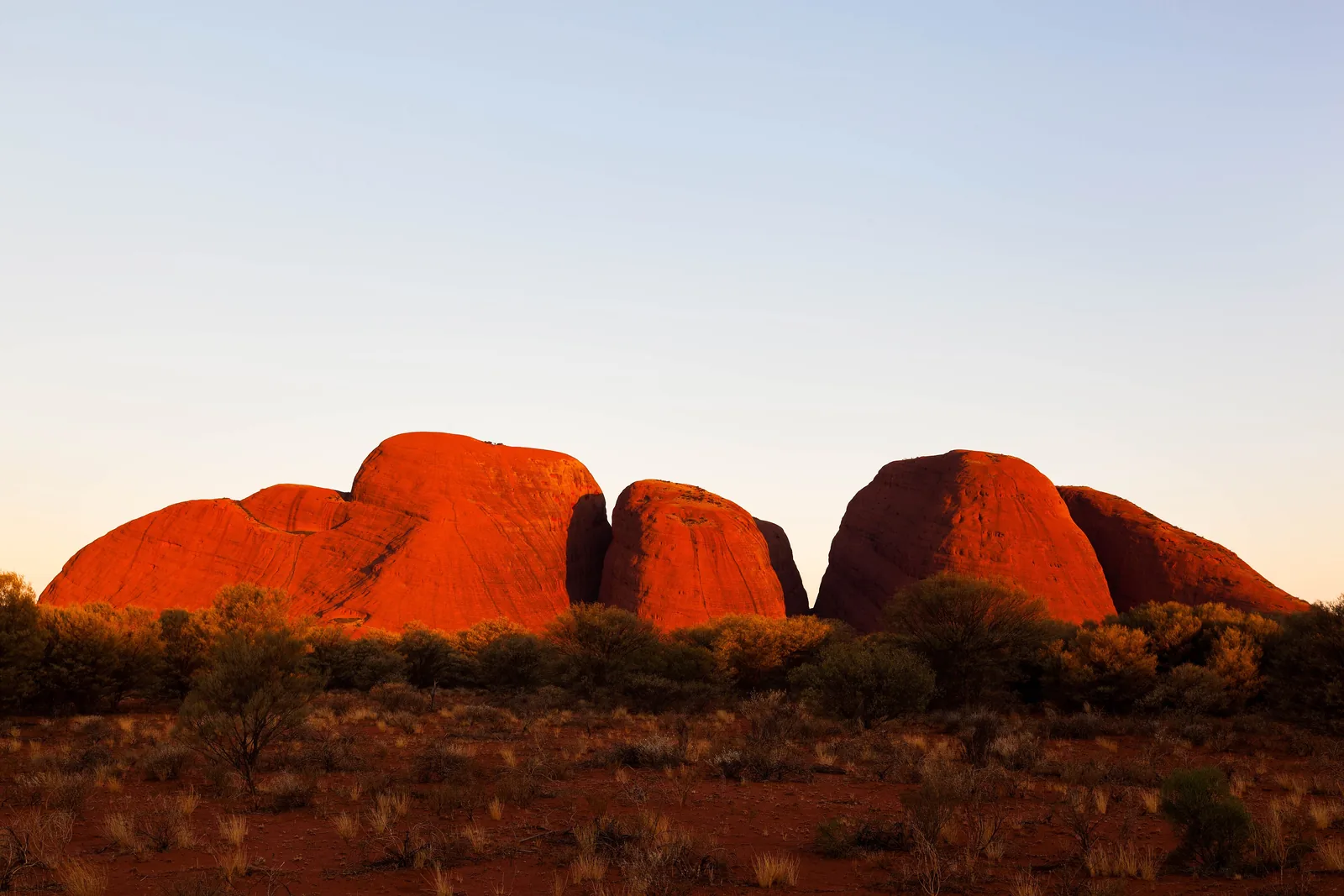
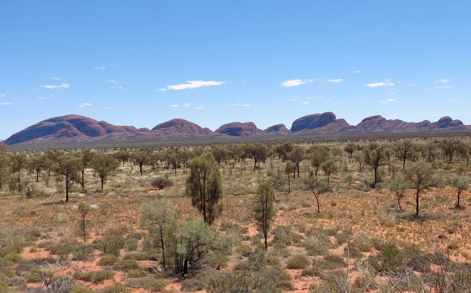
Kata Tjuṯa Climbing on the rocks is not allowed, including boulders beside the path.
36 domes, two walks – and a place the Anangu say nothing about.
Domes 36
Area over 20 km²
Highest dome 546 m above the plain
From Uluru 50 km
From Yulara 45 minutes Own page
Kata Tjuṯa 36 domes, up to 546 metres high – a men's site whose stories are not told to visitors.
Walks & photo rules
Add to your Uluṟu-Kata Tjuṯa National Park visit Open in OpenStreetMap ↗ Location source ↗
-25.29789, 130.73361