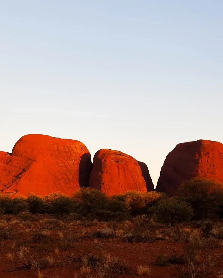


Kata Tjuṯa: many heads in the west of the park
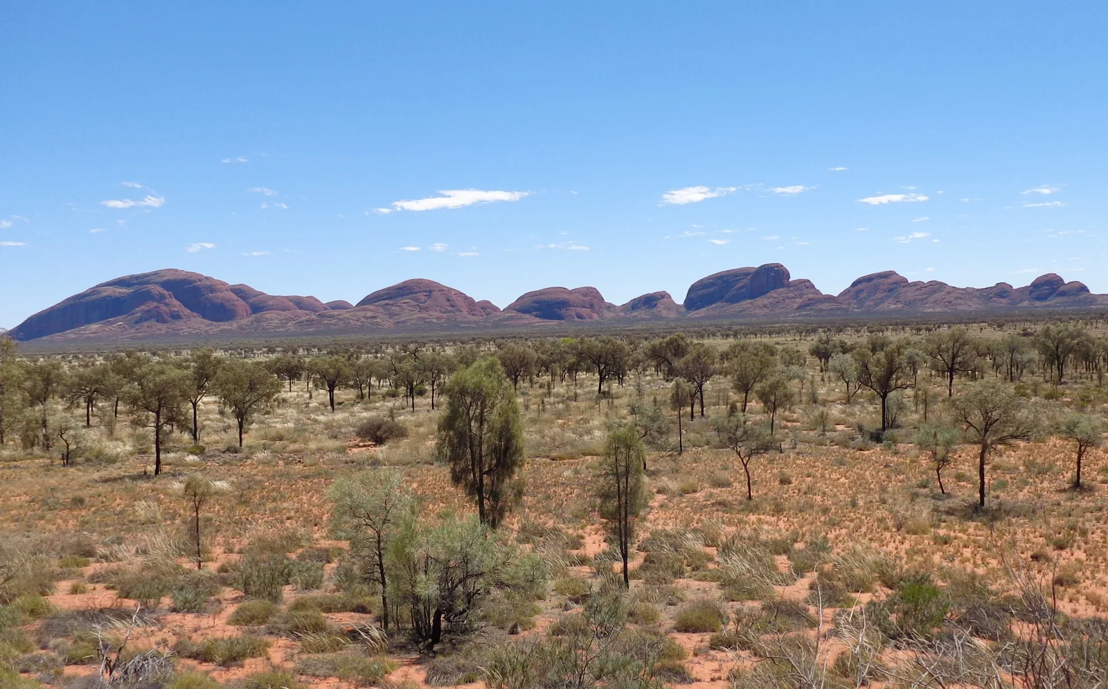
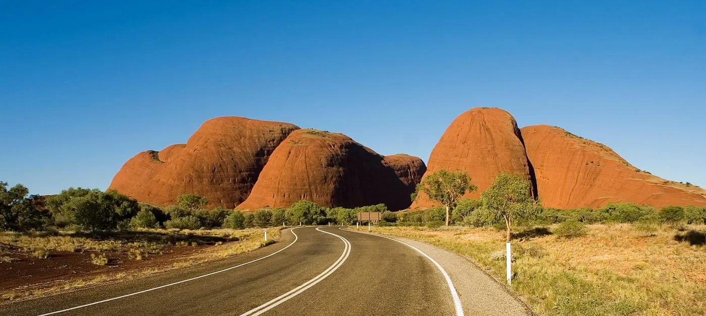
36 domes over more than 20 square kilometres, two walks and two viewing areas.
Kata Tjuṯa, formerly “the Olgas”, lies in the west of Uluṟu-Kata Tjuṯa National Park, 50 road kilometres from Uluru. 36 domes cover more than 20 km² (7.7 sq mi); according to Parks Australia the highest rises 546 m (1,791 ft) above the plain. The name comes from Pitjantjatjara and means “many heads”.
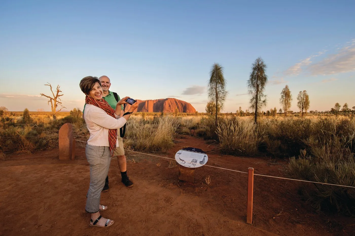
For the Anangu, Kata Tjuṯa is a sacred men's site. Everyone may walk the marked tracks, but the stories of these rocks are not told to visitors. That is why stricter photo rules apply here than at Uluru.
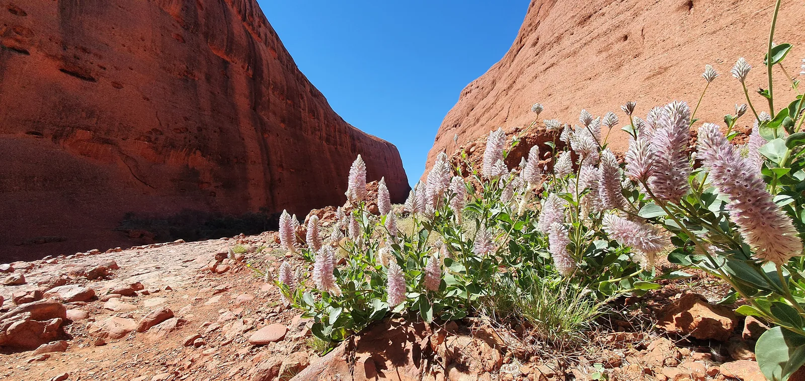
Two walks lead in between the domes: one hour into Waḻpa Gorge, three to four hours through the Valley of the Winds. Kata Tjuṯa is covered by the same park pass as Uluru.
In numbers
- Domes
- 36
- Area
- over 20 km²
- Highest dome
- 546 m above the plain
- Distance to Uluru
- 50 km by road
- From Yulara
- 45 minutes
- Valley of the Winds
- 7.4 km, grade 4
- Karu Lookout
- 2.2 km return
- Karingaṉa Lookout
- 5.4 km return
- Waḻpa Gorge
- 2.6 km, 1 hour
- Heat closure
- from 36 °C, from 11:00