National Parks Atlas
MapPDF

01 · United Kingdom · Wales · Gwynedd and Conwy

Snowdonia National Park (Eryri)

Wales’ first national park: nine mountain ranges, 15 peaks over 3,000 feet and a landscape where Welsh is the everyday language.

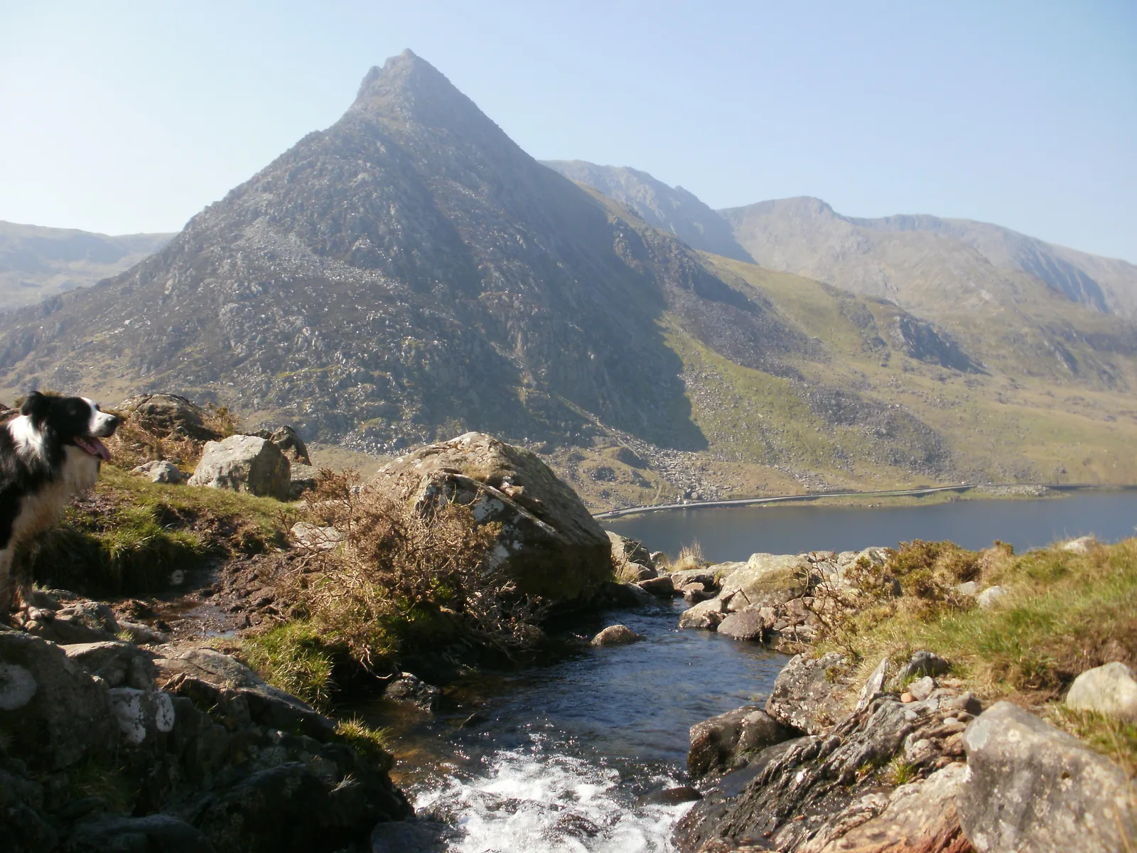
Photo: Julian Herzog (Website) ↗ · CC BY 4.0 ↗

Snowdonia National Park (Eryri) at a glance · PDF, 2 pages

Snowdonia National Park (Eryri): landscape and origins

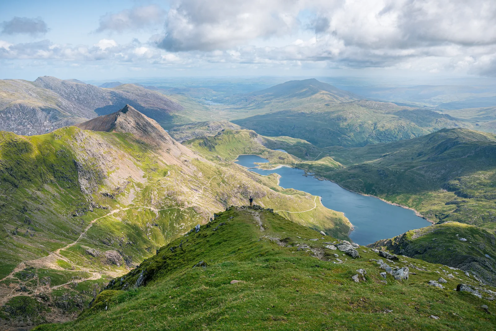
The Pyg Track is the shortest route up Snowdon – and one of the rockiest.

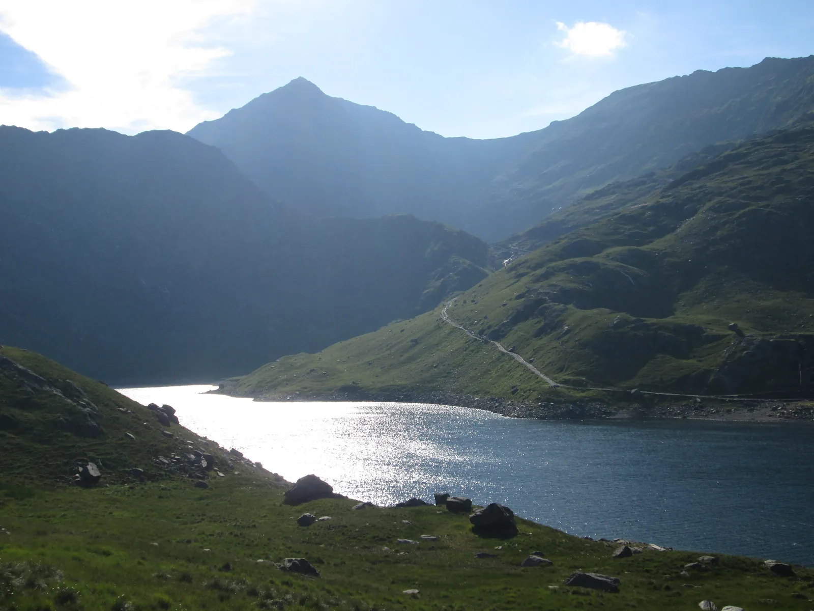
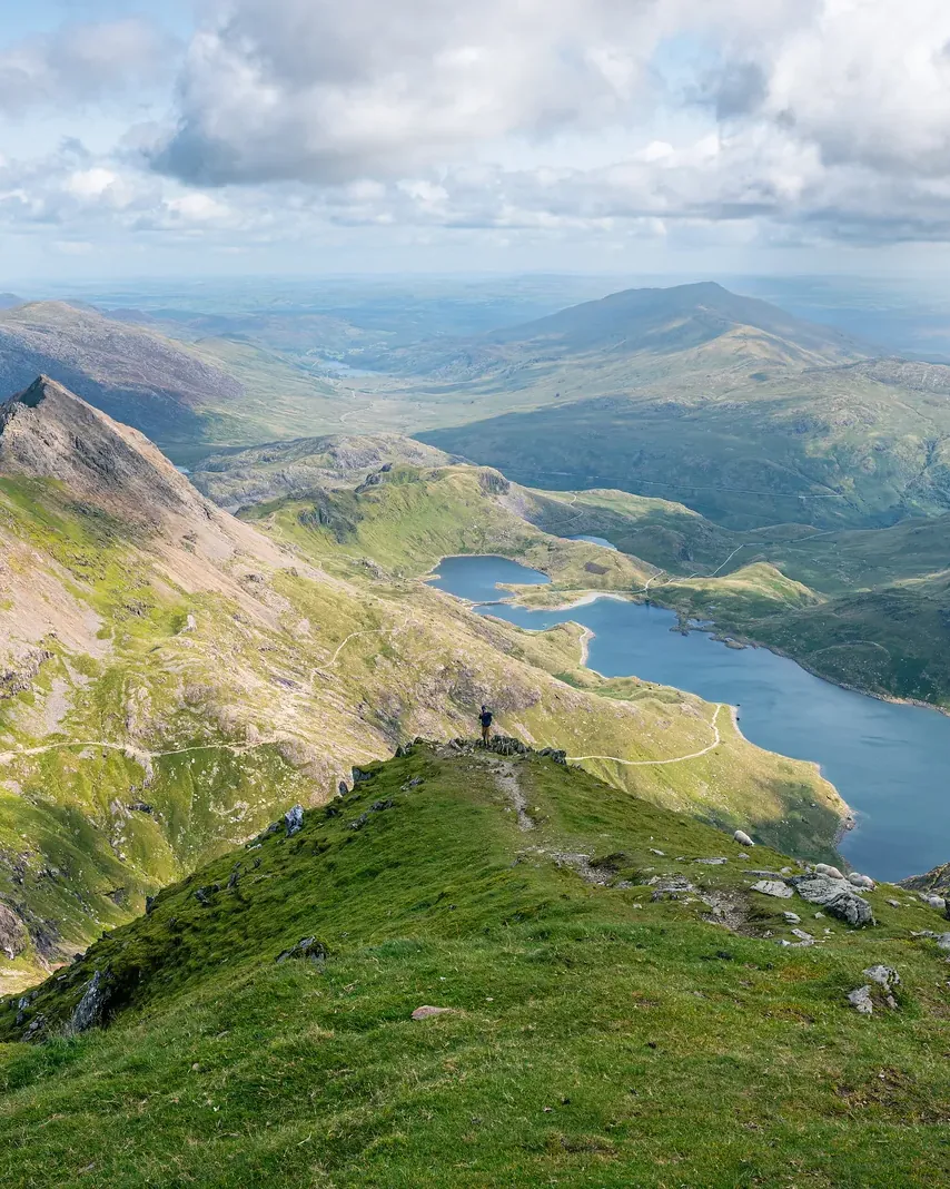
From Pen y Pass the path climbs to the pass of Bwlch y Moch, where you first see Llyn Llydaw and its causeway. Later it joins the Miners’ Track and meets the Llanberis Path at Bwlch Glas for the final climb to the summit.

The National Park Authority grades the route as hard: steep, rocky sections, some easy scrambling, navigation skills essential. Beside the path rises Crib Goch, a narrow ridge with no escape route – not a walking route.

Because the Pen y Pass car park can only be used with a booking until 1 November 2026, the National Park Authority recommends the Sherpa bus from Llanberis, Nant Peris, Caernarfon or Bangor; drop-offs at the car park are allowed.

Eryri National Park Authority: Pyg Track (11 km, 895 m ascent, Crib Goch) ↗

The park in numbers

Length
11 km (6.8 mi) there and back
Duration
about 6 hours
Ascent
895 m (2,936 ft)
Difficulty
hard
Start
Pen y Pass
Parking
pre-booking only until 1 Nov 2026
Bus
Sherpa S1, S2, S4
Map
OS Explorer OL17

Visiting Snowdonia (Eryri): mountains, lakes and coast

02 · Places

Map: Snowdon, Ogwen, Betws-y-Coed and Llyn Tegid

Summits, trailheads, stations and information centres, each point referenced in OpenStreetMap.

Photo: Peter S ↗ · CC BY-SA 2.0 ↗

Map

15 places on the map

Summits, trailheads, stations and information centres, each point referenced in OpenStreetMap.

Open map3D terrain · details and photos for every place
  • Mountains & rock4
  • Water4
  • Arrival3
  • Nature2
  • Surroundings2

03 · Out and about

Things to do: six paths up Snowdon, Ogwen and lakes

Snowdon is the most popular mountain – but not the only one.

Photo: Andy Harbach from Bangor, United Kingdom ↗ · CC BY 2.0 ↗

“Six paths up one summit – and on summer days hundreds walk them at once.”

Snowdon Horseshoe · sunrise on Crib Goch

Things to do: six paths up Snowdon, Ogwen and lakes

Offer photo: Snowdon: guided hike to the summit from Llanberis

MountainXperience · Guided walk · 6 hours

Snowdon: guided hike to the summit from Llanberis

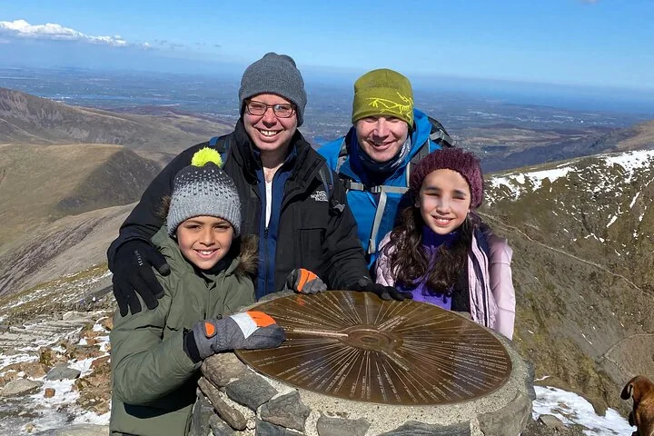
In a small group with local mountain leaders up the highest mountain in Wales, away from the busiest paths. Meeting point is the mountain railway station in Llanberis.

  • 6 hours
  • Meet in Llanberis
  • Small group
  • Age 8 and over

Departure Snowdon Mountain Railway Station, Llanberis (LL55 4TU); arrive 10 to 15 minutes early. Ends at the meeting point.

According to the inclusions list: the guided hike and a qualified mountain leader. Bring your own walking clothes and kit. Good fitness needed, not suitable for children under 8. The exact route is not stated. According to Viator non-refundable.

View tour ↗Ad · partner link · checked 8 Oct 2026

Provider's product photo · Viator

Offer photo: Snowdon: sunrise hike with a mountain leader

MountainXperience · Sunrise on the summit · 8 hours

Snowdon: sunrise hike with a mountain leader

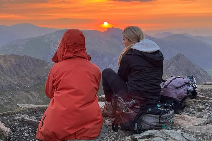
Set off in the dark with a head torch and reach the top in time for sunrise over the mountains of Wales – while most people are still asleep.

  • 8 hours
  • Meet in Llanberis
  • Starts in the dark
  • Age 8 and over

Departure Snowdon Mountain Railway Station, Llanberis (LL55 4TU); start time depends on the season and is confirmed after booking.

According to the inclusions list: a local mountain leader and the guided sunrise hike. Head torch and walking gear are not included. Good fitness needed. According to Viator non-refundable.

View tour ↗Ad · partner link · checked 8 Oct 2026

Provider's product photo · Viator

Ad · we may earn a commission if you book through this partner link – at no extra cost to you. Thank you for supporting the atlas. Offer details checked 8 Oct 2026. See official ticket information.

Nature and culture: Snowdon lily, slate and legends

04 · Before you go

Park film and places nearby

Photo: Julian Herzog (Website) ↗ · CC BY 4.0 ↗

Film by the park authority

Eryri – what makes a national park

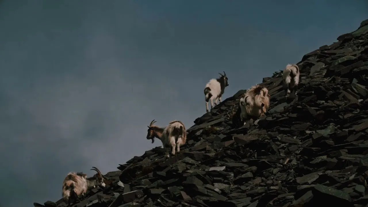
Two minutes from the National Park Authority’s channel, published in 2024: mountains, feral goats and ponies, and the question of what makes a national park. English version.

Source: Eryri National Park Authority · View channel ↗

Around the park

Field book · Snowdonia National Park (Eryri)

checked 8 Oct 2026

Snowdonia National Park (Eryri) at a glance · PDF, 2 pages ↓

00My visit

Nothing saved yet. Every place card has a pin, and so does every place on the Map. What you save collects here, with days, notes and a preview you can share.

01Best time to visit: busy in summer, winter only with the right kit

From April to September Snowdon is at its busiest.

April to September

According to the National Park Authority this is the most popular time. Car parks at Llanberis, Pen y Pass, Nant Peris and Pont Bethania are then very busy.

Eryri National Park Authority: Getting to and around (rail, road, bus) ↗

Colder and windier on top

The summit is much colder, wetter and windier than the valley; the weather can change within minutes.

Eryri National Park Authority: Climbing Yr Wyddfa (six paths, equipment, emergencies) ↗

Winter: crampons and ice axe

Under snow and ice the summit cannot be reached without crampons, an ice axe and the knowledge to use them. In winter the National Park Authority publishes a daily ground conditions report.

Eryri National Park Authority: Climbing Yr Wyddfa (six paths, equipment, emergencies) ↗

Railway in season only

In 2026 the mountain railway runs until 1 November; from 5 to 16 October and from 26 October only to Clogwyn, from 17 to 25 October to the summit.

Snowdon Mountain Railway: Times and prices 2026 (operator, operating times and fares) ↗

02How to get there: by rail and Sherpa bus to the trailheads

Two railway lines serve the park, and buses link the trailheads around Snowdon.

Conwy Valley Line

From north-west England by train via Crewe to Llandudno Junction, then on the Conwy Valley Line to Betws-y-Coed.

Eryri National Park Authority: Getting to and around (rail, road, bus) ↗

Show on the map

Cambrian Line

From southern England and south Wales via Shrewsbury or Aberystwyth on the Cambrian Line to the park’s coast.

Eryri National Park Authority: Getting to and around (rail, road, bus) ↗

Sherpa’r Wyddfa

The buses circle Snowdon: S1 Caernarfon – Llanberis – Pen y Pass – Betws-y-Coed, S2 from Bangor, S3 to Rhyd Ddu, S4 from Porthmadog to Pont Bethania. Timetables valid from 28 March 2026.

Eryri National Park Authority: Sherpa’r Wyddfa (routes to the paths) ↗

By car

From north-west England via the A55 to junction 19, then the A470 via Llanrwst to Betws-y-Coed; from southern England via Shrewsbury and the A5.

Eryri National Park Authority: Getting to and around (rail, road, bus) ↗

Adventure Tour Snowdonia · Day tour from Llandudno · 9 hours

From Llandudno: Snowdonia National Park and three castles

From the coast into the mountains: over the Nant Ffrancon pass into the Ogwen valley with a stop at Llyn Ogwen, on over Pen-y-Pass to Llanberis, plus the castles of Conwy, Dolbadarn and Caernarfon.

4.9 out of 5 stars274 reviews on GetYourGuidefrom €76.71as of 8 Oct

Departure Llandudno; the product page gives no exact meeting point in its text. Sundays and Mondays on request from the provider only.

According to the inclusions list: a local guide, driver and minibus. The page does not list admission to castles and museums as included. Not suitable for wheelchair users. Free cancellation up to 24 hours in advance.

View tour ↗Ad · partner link · checked 8 Oct 2026

Ad · we may earn a commission if you book through this partner link – at no extra cost to you. Thank you for supporting the atlas. Offer details checked 8 Oct 2026. See official ticket information.

03Free entry – parking, railway and bus cost money

The park charges nothing. On Snowdon you pay for the car park or the rack railway.

No entrance fee

According to their umbrella body, anyone can visit the UK’s national parks at any time for free. Eryri charges nothing for paths and summits either.

National Parks UK: “Anyone can visit at any time for free” ↗

Pen y Pass: £25 to £45

The National Park Authority’s car park at the start of the Pyg Track and Miners’ Track can only be used with a JustPark booking until 1 November 2026: £25 up to 8 hours, £35 up to 12 hours, £45 for the full day. Extensions are not possible.

Eryri National Park Authority: Pen y Pass Car Park (pre-booking until 1 Nov 2026, charges) ↗

Show on the map

Ogwen: £6 a day

At the National Park Authority’s small car park at the Ogwen Centre a day costs £6 and four hours £3; card payment only.

Eryri National Park Authority: Ogwen (parking, T10 bus, Cwm Idwal) ↗

Show on the map

Bus: day ticket £7.50

According to Sherpa’r Wyddfa, a day ticket for all buses in North Wales costs £7.50 for adults and £16 for up to two adults with three children.

Cyngor Gwynedd: Sherpa’r Wyddfa, timetables from 28 Mar 2026 and day ticket ↗

Railway: from £45 to the summit

The Snowdon Mountain Railway is a private company. A return on the diesel train to the summit costs adults £45 off-peak and £48 at peak times in 2026; to Clogwyn station £36 and £39.

Snowdon Mountain Railway: Times and prices 2026 (operator, operating times and fares) ↗

Show on the map

Visiting Snowdonia (Eryri): mountains, lakes and coast

The oldest national park in Wales – and a place where you hear Welsh spoken.

823 square miles

About 2,130 km²: Eryri is the largest national park in Wales and the third largest in the UK, according to the National Park Authority. The Authority itself owns less than one per cent of the land.

Eryri National Park Authority, State of the Park: Diverse landscapes (designated 1951, 823 square miles) ↗

Since October 1951

Eryri was the first of the three Welsh national parks to be designated, and the third in the UK after the Peak District and the Lake District.

Eryri National Park Authority, State of the Park: Diverse landscapes (designated 1951, 823 square miles) ↗

Eryri, not Snowdonia

The National Park Authority uses the Welsh name Eryri, and Yr Wyddfa for Snowdon. Many visitors still search for “Snowdonia” – it is the same park.

Eryri National Park Authority: home page ↗

Nine mountain ranges

Plus 15 peaks over 3,000 feet (914 metres) and 23 miles of coastline. 500 million years ago Snowdon lay under water.

Eryri National Park Authority: Discover (mountain ranges, peaks, coast, language) ↗

58 per cent speak Welsh

In some communities it is 85 per cent. Welsh is the language of everyday life, of schools and of place names.

Eryri National Park Authority: The Welsh Language (58 per cent Welsh speakers) ↗

Contact: three information centres

The National Park Authority runs information centres in Betws-y-coed, Beddgelert and Aberdyfi, daily 9:30 to 17:00 with a 30-minute lunch break.

Eryri National Park Authority: Information Centres (Betws-y-coed, Beddgelert, Aberdyfi) ↗

Show on the map

Things to do: six paths up Snowdon, Ogwen and lakes

Snowdon is the most popular mountain – but not the only one.

Six paths up Snowdon

Llanberis Path 14.5 km, Miners’ Track 13 km, Pyg Track 11 km, Watkin Path 13 km, Rhyd Ddu Path 12 km, Snowdon Ranger 13 km – each there and back, all hard, 6 to 7 hours.

Eryri National Park Authority: Climbing Yr Wyddfa (six paths, equipment, emergencies) ↗

Show on the map

Over 600,000 a year

That many people climb Snowdon every year according to the National Park Authority. The summit gets very busy in summer.

Eryri National Park Authority: Yr Wyddfa (visitor numbers, nature reserve) ↗

Rack railway since 1896

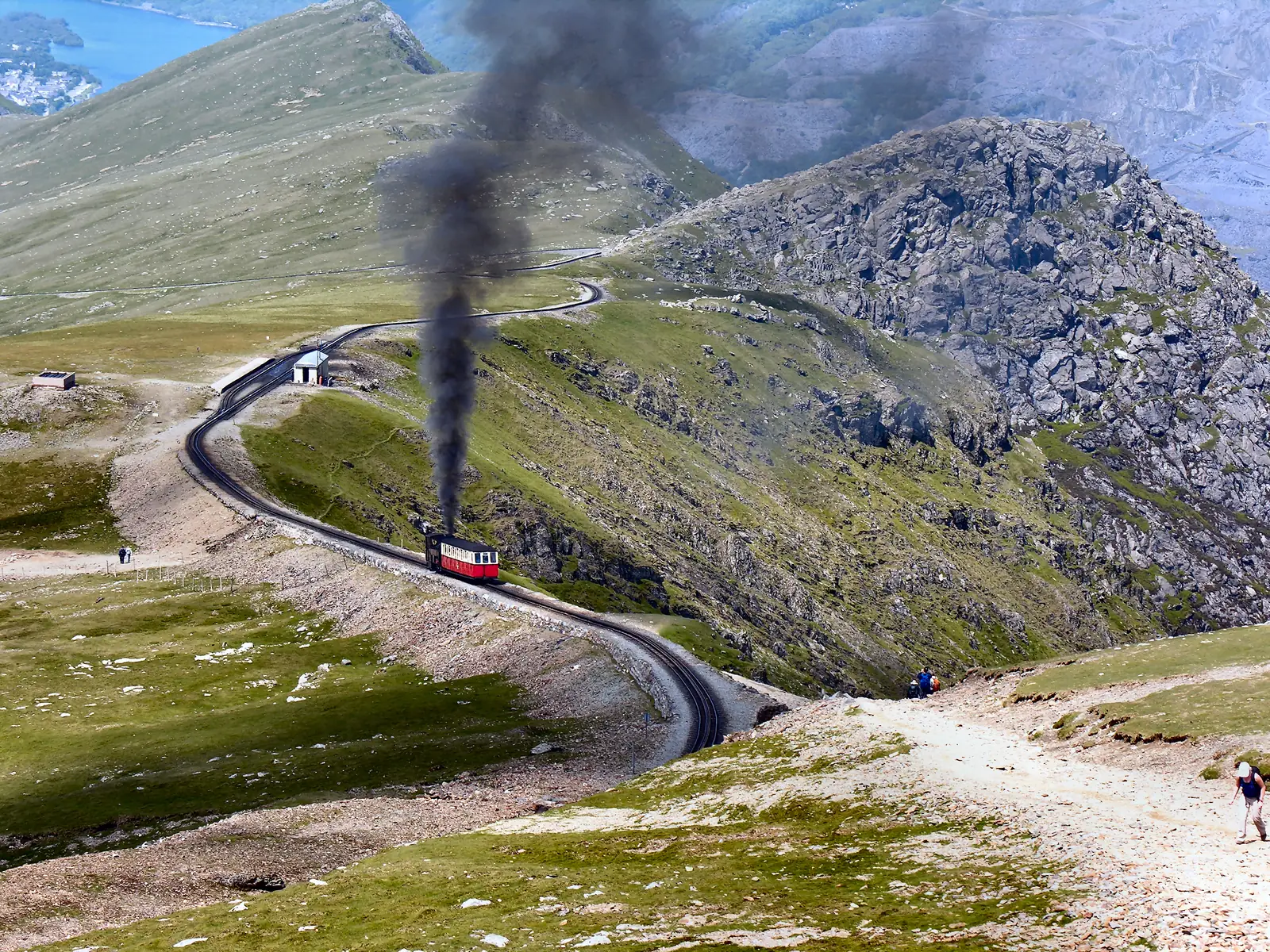
The Snowdon Mountain Railway runs 4.7 miles from Llanberis to the summit building Hafod Eryri. If you walk up, you can only buy a ticket down at the top, subject to availability.

Snowdon Mountain Railway: Times and prices 2026 (operator, operating times and fares) ↗

Show on the map

Ogwen and Cwm Idwal

The valley between the Carneddau and the Glyderau is the starting point for Tryfan and the glacial cwm Cwm Idwal. The Cwm Idwal Centre has an exhibition, toilets and a snack bar.

Eryri National Park Authority: Ogwen (parking, T10 bus, Cwm Idwal) ↗

Show on the map

Betws-y-Coed: 3.6 kilometres

An easy circular walk over the bridges of the Afon Llugwy in about 45 minutes, from the National Park Authority’s Cae Llan car park.

Eryri National Park Authority: Betws-y-coed Bridges (3.6 km circular walk) ↗

Show on the map

Llyn Tegid

The largest natural lake in Wales is 3.5 miles long. Paddling, rowing and fishing require a permit, sold at the machines in the lakeside car parks.

Eryri National Park Authority: Llyn Tegid (permits, rules) ↗

Show on the map

Nature and culture: Snowdon lily, slate and legends

Rare species on the summits, an ancient language in the valleys.

Snowdon lily

Lili’r Wyddfa grows only on the highest summits and is one of the park’s rarest species; Snowdon is a National Nature Reserve.

Eryri National Park Authority: Yr Wyddfa (visitor numbers, nature reserve) ↗

Hill farms

Most of the land on Snowdon belongs to hill farmers; it is grazing land and a working landscape.

Eryri National Park Authority: Yr Wyddfa (visitor numbers, nature reserve) ↗

Welsh through the centuries

Near Betws-y-Coed, Bishop William Morgan translated the Bible into Welsh in 1588, at Tŷ Mawr Wybrnant.

Eryri National Park Authority: The Welsh Language (58 per cent Welsh speakers) ↗

04Where to stay: campsite, youth hostel, village

Wild camping in Eryri is not allowed without permission.

Official campsites

The National Park Authority recommends campsites and advises booking early. Camping in car parks or on roadside verges is never allowed.

Eryri National Park Authority: Camping and Wild Camping ↗

Wild camping only with permission

Wild camping is not permitted anywhere in Eryri without prior permission from the landowner – not even on open access land. The National Park Authority cannot give that permission for other people’s land.

Eryri National Park Authority: Camping and Wild Camping ↗

Youth hostels

As an alternative the National Park Authority suggests the youth hostels in the park, such as Pen y Pass; book early in peak season, ideally midweek.

Eryri National Park Authority: Camping and Wild Camping ↗

05Rules in Eryri: rights of way, dogs, no fires

In Wales you walk on rights of way and open access land – there is no general right to roam everywhere.

Paths and open access land

Yellow arrows mark footpaths, blue arrows bridleways. On open access land (brown symbol) you may leave the paths. Much of the land is private and not open to the public.

Eryri National Park Authority: The Countryside Code (waymarks, open access land) ↗

Dogs: leads from March to July

On open access land dogs must be kept on a lead no longer than 2 metres from 1 March to 31 July; near livestock always on a short lead.

Eryri National Park Authority: Dogs (leads on access land 1 March to 31 July) ↗

Barbecues only with permission

Barbecues and fires are a main cause of wildfires. Almost all the land is private; no fire without the owner’s permission.

Eryri National Park Authority: Barbecues and Fires ↗

Crib Goch is not a walking route

The 500-metre ridge beside the Pyg Track has no escape route and is only for experienced mountaineers.

Eryri National Park Authority: Pyg Track (11 km, 895 m ascent, Crib Goch) ↗

Emergency: call 999

In an emergency call 999 and ask for the police and mountain rescue. Carry a map and compass – the signs on the mountain are not enough.

Eryri National Park Authority: Climbing Yr Wyddfa (six paths, equipment, emergencies) ↗

Where to go next

Two steam railways run in the north-west of the park.

Welsh Highland and Ffestiniog Railway

The National Park Authority recommends the two steam railways as a fine way to travel through the north-west of the park; the Welsh Highland Railway stops at Rhyd Ddu and Beddgelert.

Eryri National Park Authority: Getting to and around (rail, road, bus) ↗

Show on the map

06Frequently asked questions: Snowdonia National Park (Eryri)

Is there an entrance fee for Snowdonia National Park?

No. Like all the UK’s national parks, Eryri is free to enter. You pay for car parks, buses and the private mountain railway.

National Parks UK: “Anyone can visit at any time for free” ↗

Is the park called Snowdonia or Eryri?

Both mean the same park. The National Park Authority uses the Welsh name Eryri, and Yr Wyddfa for Snowdon.

Eryri National Park Authority: home page ↗

Do I need to pre-book parking at Pen y Pass?

Yes, until 1 November 2026 only with a JustPark booking: £25 up to 8 hours, £35 up to 12 hours, £45 for the full day. Or take the Sherpa bus.

Eryri National Park Authority: Pen y Pass Car Park (pre-booking until 1 Nov 2026, charges) ↗

How long does it take to climb Snowdon?

The six paths are 11 to 14.5 km (6.8 to 9 mi) there and back and take 4 to 7 hours, depending on the route, your fitness and the weather.

Eryri National Park Authority: Climbing Yr Wyddfa (six paths, equipment, emergencies) ↗

How much is the Snowdon Mountain Railway?

A return on the diesel train to the summit costs adults £45 in 2026 (£48 at peak times), to Clogwyn £36 (£39). The railway is private and runs until 1 November.

Snowdon Mountain Railway: Times and prices 2026 (operator, operating times and fares) ↗

Can you wild camp in Snowdonia?

No, not without the landowner’s prior permission. The National Park Authority recommends campsites and youth hostels.

Eryri National Park Authority: Camping and Wild Camping ↗

How do I get to Snowdon without a car?

On the Sherpa’r Wyddfa: S1 and S2 to Llanberis and Pen y Pass, S3 to Rhyd Ddu and the Snowdon Ranger path, S4 from Porthmadog to Pont Bethania.

Eryri National Park Authority: Sherpa’r Wyddfa (routes to the paths) ↗

07Where this information comes from

Eryri National Park Authority, Cyngor Gwynedd, Snowdon Mountain Railway and National Parks UK; tours checked with the providers.

  1. Eryri National Park Authority: home page ↗
  2. Eryri National Park Authority, State of the Park: Diverse landscapes (designated 1951, 823 square miles) ↗
  3. Eryri National Park Authority: Discover (mountain ranges, peaks, coast, language) ↗
  4. Eryri National Park Authority: The Welsh Language (58 per cent Welsh speakers) ↗
  5. Eryri National Park Authority: Yr Wyddfa (visitor numbers, nature reserve) ↗
  6. Eryri National Park Authority: Climbing Yr Wyddfa (six paths, equipment, emergencies) ↗
  7. Eryri National Park Authority: Pen y Pass Car Park (pre-booking until 1 Nov 2026, charges) ↗
  8. Eryri National Park Authority: Sherpa’r Wyddfa (routes to the paths) ↗
  9. Cyngor Gwynedd: Sherpa’r Wyddfa, timetables from 28 Mar 2026 and day ticket ↗
  10. Eryri National Park Authority: Getting to and around (rail, road, bus) ↗
  11. Eryri National Park Authority: Ogwen (parking, T10 bus, Cwm Idwal) ↗
  12. Eryri National Park Authority: Llyn Tegid (permits, rules) ↗
  13. Eryri National Park Authority: Camping and Wild Camping ↗
  14. Eryri National Park Authority: Dogs (leads on access land 1 March to 31 July) ↗
  15. Eryri National Park Authority: The Countryside Code (waymarks, open access land) ↗
  16. Eryri National Park Authority: Barbecues and Fires ↗
  17. Eryri National Park Authority: Information Centres (Betws-y-coed, Beddgelert, Aberdyfi) ↗
  18. Eryri National Park Authority: Betws-y-coed Bridges (3.6 km circular walk) ↗
  19. Eryri National Park Authority: Pyg Track (11 km, 895 m ascent, Crib Goch) ↗
  20. Snowdon Mountain Railway: Times and prices 2026 (operator, operating times and fares) ↗
  21. Snowdon Mountain Railway: The experience (season 2026, Hafod Eryri) ↗
  22. National Parks UK: “Anyone can visit at any time for free” ↗

How current is this information?

Researched 8 Oct 2026. Not a live status. Dates apply only to the year stated. A successful automatic fetch is not an editorial confirmation; outdated automatic values are hidden and replaced by the source link.

Current information from the park ↗

Image and map credits

Location sources: Every point comes from OpenStreetMap and is referenced by its object number. Locations are checked against the OpenStreetMap boundary of Eryri National Park (relation 287245): all points lie inside, including the mountain railway station in Llanberis; the lake Llyn Padarn lies outside and is not shown. Markers do not imply that access is permitted. Base map © OpenStreetMap contributors. Coastlines of the chapter map: Natural Earth.

End of the field book · Park authority ↗