National Parks Atlas
MapPDF

01 · United Kingdom · England · Cumbria

Lake District National Park

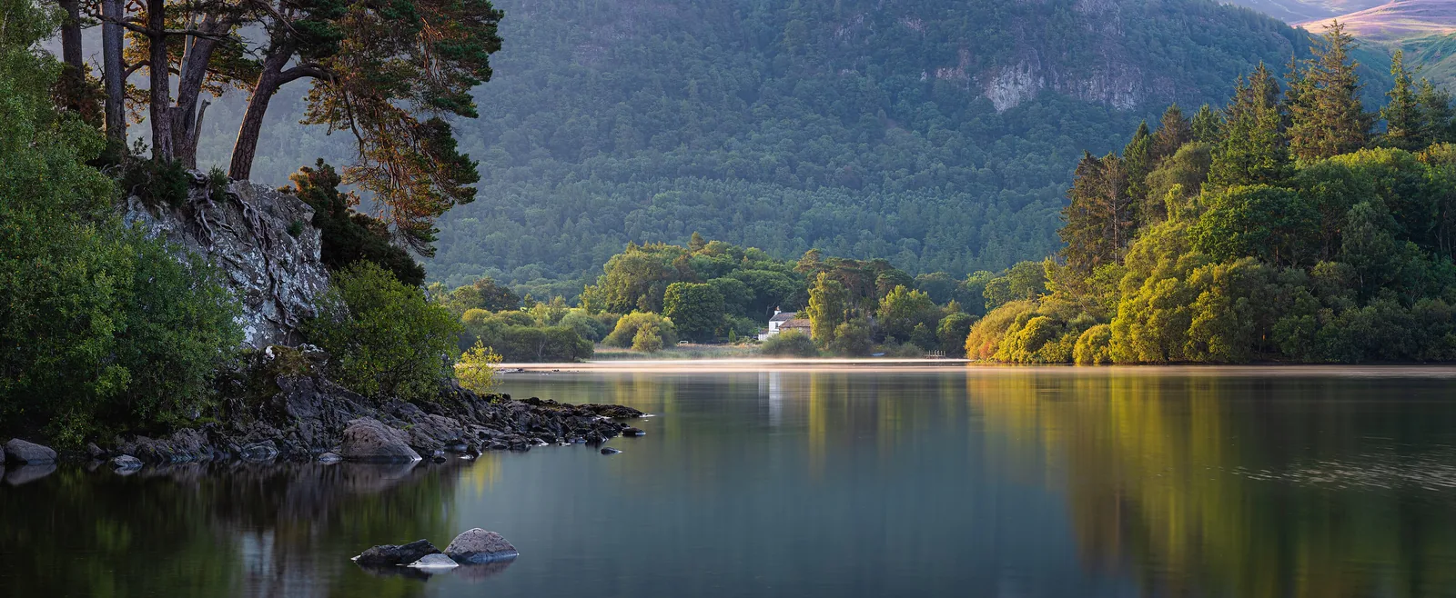
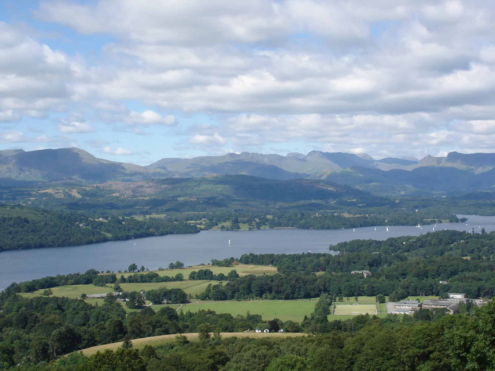
England’s largest national park: 16 lakes, more than 350 fells and a farmed landscape that has been a World Heritage Site since 2017.

Photo: John260660 ↗ · CC BY-SA 4.0 ↗

Lake District at a glance · PDF, 2 pages

Lake District National Park: landscape and origins

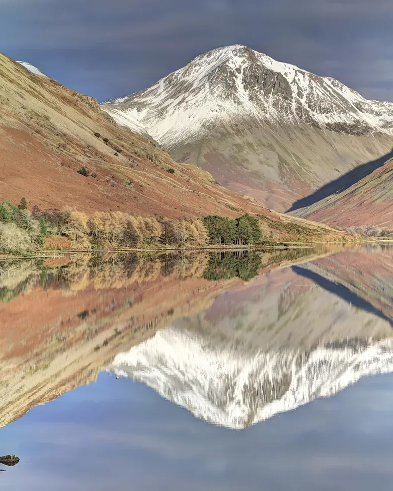
Wasdale is the wildest valley in the Lake District: England’s deepest lake, with its highest mountain above.

Wast Water lies in a U-shaped glacial valley in the west of the park. At its southern end The Screes plunge straight into the water; at its head stand Great Gable, Kirk Fell and Yewbarrow. According to the National Park Authority the view across the lake to Great Gable inspired its logo.

Above the valley stands Scafell Pike, at 978 metres England’s highest mountain. Wasdale Head at the end of the lake has a pub, a few houses and the tiny church of St Olaf.

The road into the valley is narrow and single-track. In summer the Wasdale Explorer runs from Ravenglass, Gosforth and Nether Wasdale to Wasdale Head; the National Park Authority recommends it because parking in the valley fills up quickly.

LDNPA: Explore Wasdale, Wastwater and West Coast ↗

The park in numbers

Scafell Pike
978 m (3,209 ft)
Wast Water
74 m (243 ft) deep
Great Gable
899 m (2,949 ft)
Access road
narrow, single-track
Shuttle
Wasdale Explorer in summer
Known for
Britain’s Favourite View 2007

Visiting the Lake District: lakes, fells and valleys

02 · Places

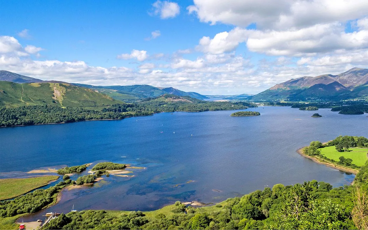
Map: Windermere, Wasdale, Derwentwater and Ullswater

Piers, summits, information centres and the station, each point referenced in OpenStreetMap.

Photo: DariusLT ↗ · CC BY-SA 4.0 ↗

Map

16 places on the map

Piers, summits, information centres and the station, each point referenced in OpenStreetMap.

Open map3D terrain · details and photos for every place
  • Viewpoints1
  • Mountains & rock3
  • Water1
  • Trails1
  • Arrival8
  • History1
  • Nature1

03 · Out and about

Things to do: lakes, fells and circular walks

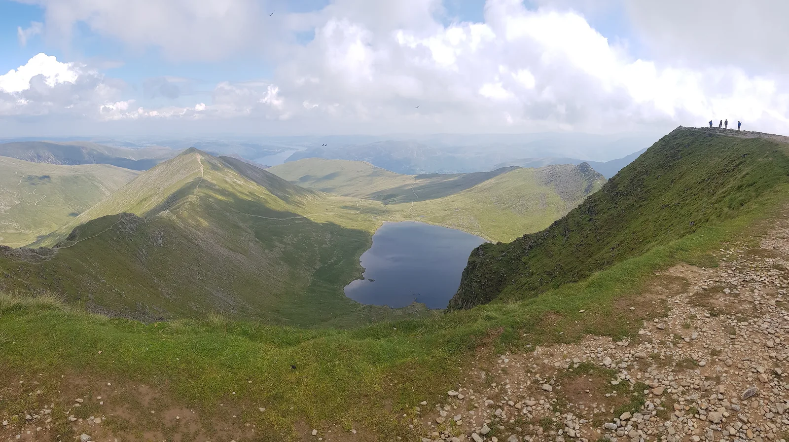
From a boat trip to England’s highest mountain.

Photo: Julian Herzog (Website) ↗ · CC BY 4.0 ↗

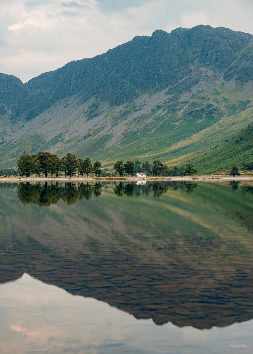
“Sixteen lakes, no gate, no ticket office – you only pay for the car park.”

Buttermere · in the north-west of the park

Things to do: lakes, fells and circular walks

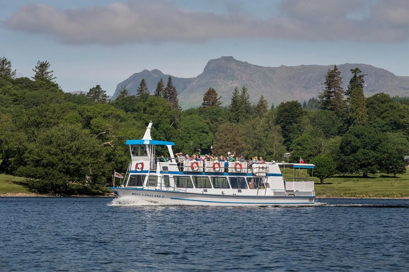
Offer photo: Windermere: Red Cruise between Bowness and Ambleside

Windermere Lake Cruises · Boat on Windermere · 70–75 minutes

Windermere: Red Cruise between Bowness and Ambleside

By steamer or launch across the northern half of the lake, past wooded shores and the fells. Hop off at Brockhole or Ambleside and return on a later boat.

4.7 out of 5 stars268 reviews on GetYourGuidefrom €22.66as of 8 Oct

  • Return ticket
  • From Bowness or Ambleside
  • Hop off allowed
  • Dogs welcome

Departure Bowness Pier (LA23 3HQ) or Ambleside (Waterhead) Pier (LA22 0EY).

According to the inclusions list: return on any sailing that day and commentary on board. The product page says 70 minutes, the operator 75 minutes for the non-stop round trip. Only the launches call at Brockhole. Free cancellation up to 24 hours in advance.

View tour ↗Ad · partner link · checked 8 Oct 2026

More checked toursAd · partner link · checked 8 Oct 2026

  • Windermere: 24-hour ticket for all boats ↗Windermere Lake Cruises · 24 hours · GetYourGuideA day on the whole lake: Red, Yellow and Islands cruises between Lakeside, Bowness, Brockhole and Ambleside.

    4.7 out of 5 stars81 reviews on GetYourGuidefrom €41.30as of 8 Oct

Provider's product photo · GetYourGuide

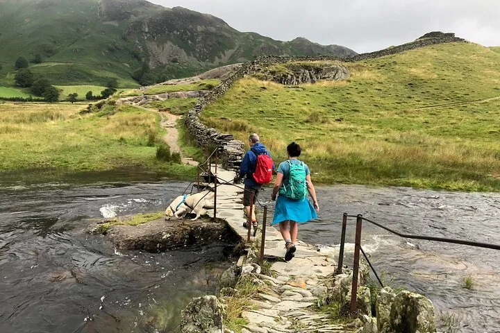
Offer photo: Langdale: guided walk in the heart of the Lake District

Inspirit Walking · Guided walk · 4–6 hours

Langdale: guided walk in the heart of the Lake District

A day on foot through the Langdale valley at a gentle pace with plenty of stops: the guide explains how the landscape was formed and talks about history, plants, wildlife and place names. Lunch stop with a view.

  • 4–6 hours
  • Meet at Elterwater
  • Starts 9:45
  • Good fitness needed

Departure Elterwater near Ambleside (LA22 9HP); the meeting point can change depending on the walk and is sent after booking.

According to the inclusions list the guide is included. Food, parking fees and walking gear are not. Minimum two participants. According to Viator the booking is non-refundable.

View tour ↗Ad · partner link · checked 8 Oct 2026

Provider's product photo · Viator

Ad · we may earn a commission if you book through this partner link – at no extra cost to you. Thank you for supporting the atlas. Offer details checked 8 Oct 2026. See official ticket information.

Nature and culture: Herdwicks, stone circles and poets

04 · Before you go

Park film and places nearby

Photo: John260660 ↗ · CC BY-SA 4.0 ↗

Film by the park authority

Lake District – why this place inspires

Just over two minutes from the National Park Authority’s channel, made in 2015 for the World Heritage bid: people who live and work in the Lake District talk about what keeps them in this landscape. In English.

Source: Lake District National Park Authority · View channel ↗

Around the park

Field book · Lake District National Park

checked 8 Oct 2026

Lake District at a glance · PDF, 2 pages ↓

00My visit

Nothing saved yet. Every place card has a pin, and so does every place on the Map. What you save collects here, with days, notes and a preview you can share.

01Best time to visit: March to October – with a waterproof

In the Lake District the weather often changes several times a day.

Driest from March to June

The summer season runs from March to October according to the National Park Authority; the driest period is March to June. The wettest months are October to January.

LDNPA: Lake District weather (seasons, Weatherline) ↗

200 days of rain

The valleys see rain on about 200 days a year and snow on about 20. Ambleside gets 2,103 mm (83 in) a year according to the National Park Authority.

LDNPA: Facts and figures (area, fells, lakes, Ambleside climate, visitors 2025) ↗

Ambleside: 20 °C in July

In Ambleside the daytime high is around 20 °C (68 °F) in July and around 7 °C (45 °F) in January. The summits are much colder and windier.

LDNPA: Facts and figures (area, fells, lakes, Ambleside climate, visitors 2025) ↗

Winter on the fells

From December to April the National Park Authority’s Weatherline reports conditions on Helvellyn every day. In snow you need crampons, an ice axe and the experience to use them.

LDNPA: Lake District weather (seasons, Weatherline) ↗

Show on the map

02How to get there: by train via Oxenholme to Windermere

The West Coast Main Line between London and Glasgow runs past the park.

Train to Windermere

Change at Oxenholme on the West Coast Main Line; the branch line to Windermere takes about half an hour according to the National Park Authority. There is a direct train from Manchester to Windermere.

LDNPA: Explore Windermere and Ambleside (lake, Oxenholme–Windermere line, ferry) ↗

Show on the map

Other stations

Penrith and Carlisle are also on the main line; along the coast Northern runs between Barrow-in-Furness and Carlisle.

LDNPA: Getting to and around the Lake District (train, bus, boats) ↗

By car via the M6

The M6 runs east of the park: junction 36 and the A590 for the south, junction 40 and the A66 or A592 for the north. From Manchester it is about 1.5 hours according to the National Park Authority.

LDNPA: Getting to and around the Lake District (train, bus, boats) ↗

Getting around by bus and boat

The 555 crosses the park, the 599 runs from Bowness to Grasmere. Scheduled boats with several stops sail on Windermere, Ullswater, Coniston Water and Derwentwater.

LDNPA: Getting to and around the Lake District (train, bus, boats) ↗

Mountain Goat Tours · Day tour from Windermere · 8 hours

From Windermere: Ten Lakes day tour of the Lake District

Ideal if you arrive by train: the minibus leaves from the information centre in Windermere, crosses the passes to Borrowdale and Buttermere, stops at Castlerigg Stone Circle and in Keswick for lunch and returns via Grasmere.

4.8 out of 5 stars918 reviews on GetYourGuidefrom €93.23as of 8 Oct

Departure Outside the Windermere Tourist Information Centre, a few minutes from Windermere station.

According to the inclusions list: travel in an air-conditioned minibus, commentary in English by the driver-guide and a multilingual audio guide via app (bring your own headphones). Not suitable for children under 5 or wheelchair users; no large luggage. Free cancellation up to 24 hours in advance.

View tour ↗Ad · partner link · checked 8 Oct 2026

Ad · we may earn a commission if you book through this partner link – at no extra cost to you. Thank you for supporting the atlas. Offer details checked 8 Oct 2026. See official ticket information.

03Free entry – you pay for parking

British national parks charge no entrance fee. The costs are in the car park and the boat ticket.

No entrance fee

According to their umbrella body, anyone can visit the UK’s national parks at any time for free. The National Park Authority lists no access charge either: the park has neither gates nor ticket offices.

National Parks UK: “Anyone can visit at any time for free” (15 national parks) ↗

Parking charged per car park

Car parks are run by councils, public bodies, schools, clubs and private firms, each with its own charges and payment methods. Some take coins only because there is no signal. Charges are shown on the machine.

LDNPA: Car parks and parking (operators and payment) ↗

Bus fare capped at £3

According to the National Park Authority a single bus fare in the Lake District is currently capped at £3. Stagecoach sells day tickets for bus and boat.

LDNPA: Getting to and around the Lake District (train, bus, boats) ↗

Boats cost extra

The Red Cruise between Bowness and Ambleside costs £19.20 return for adults, £11.60 for children and £55 for families (28 March to 1 November 2026). Windermere Lake Cruises is a private company.

Windermere Lake Cruises: Red Cruise, fares 28 Mar–1 Nov 2026 ↗

Show on the map

Visiting the Lake District: lakes, fells and valleys

England’s largest national park – a World Heritage Site where around 39,000 people live.

2,362 km²

That is the park’s size according to the National Park Authority: 58 km (36 mi) wide and 64 km (40 mi) long. It was designated in 1951 and extended in 2016.

LDNPA: Facts and figures (area, fells, lakes, Ambleside climate, visitors 2025) ↗

16 lakes, more than 350 fells

Plus countless tarns, small mountain lakes, and 42 km (26 mi) of coast and estuaries in the west.

LDNPA: Facts and figures (area, fells, lakes, Ambleside climate, visitors 2025) ↗

World Heritage since 2017

UNESCO inscribed the Lake District in 2017 as a cultural landscape: uplands shaped by sheep farming for more than a thousand years, and a birthplace of the idea of protecting landscapes.

UNESCO World Heritage Centre: The English Lake District (2017, cultural landscape) ↗

Always open, no entrance fee

According to the National Park Authority the park is open every day, around the clock, with no gates or barriers. Almost all the land belongs to farmers, charities and trusts.

LDNPA: Visitor FAQs (opening, wild camping, barbecues, dogs, drones) ↗

17.45 million visitors

Cumbria Tourism counted that many tourists in the Lake District in 2025, according to the National Park Authority. The towns around Windermere are the busiest.

LDNPA: Facts and figures (area, fells, lakes, Ambleside climate, visitors 2025) ↗

Contact: four information centres

The National Park Authority runs information centres in Bowness-on-Windermere, Glenridding by Ullswater, Hawkshead and Coniston, plus a pop-up in Keswick until the end of October 2026.

LDNPA: Information Centres (opening times 2026) ↗

Show on the map

Things to do: lakes, fells and circular walks

From a boat trip to England’s highest mountain.

Boats on Windermere

Windermere Lake Cruises calls at Lakeside, Bowness, Brockhole and Ambleside. The Red Cruise takes 35 minutes from Bowness to Ambleside; the non-stop round trip takes 75 minutes.

Windermere Lake Cruises: Red Cruise, fares 28 Mar–1 Nov 2026 ↗

Show on the map

Scafell Pike: 978 metres

England’s highest mountain looks down on Wast Water, England’s deepest lake at 74 m (243 ft). Wasdale can only be reached on narrow single-track roads; in summer the Wasdale Explorer bus runs.

LDNPA: Explore Wasdale, Wastwater and West Coast ↗

Show on the map

Tarn Hows: 3.3 km

A circular walk of about 1.5 hours around a tarn dammed in Victorian times, with views of the Coniston fells and the Langdale Pikes. Firm surface, steep in places.

LDNPA: Tarn Hows, circular route (Miles without Stiles) ↗

Show on the map

More than 50 routes without stiles

The National Park Authority’s Miles without Stiles routes lead to lake shores, tarns and even summits with no stiles to climb – for wheelchairs, pushchairs and tired legs.

LDNPA: Visitor FAQs (opening, wild camping, barbecues, dogs, drones) ↗

Guided walks

From Easter to October the National Park Authority offers free guided walks led by volunteers.

LDNPA: Visitor FAQs (opening, wild camping, barbecues, dogs, drones) ↗

Boating and paddling

You can hire boats and paddle on Windermere, Derwentwater, Ullswater and Coniston Water. Every powered boat on Windermere must be registered with the National Park Authority.

LDNPA: On the water (lakes, byelaws, Windermere registration) ↗

Nature and culture: Herdwicks, stone circles and poets

A landscape shaped by farmers and made famous by poets.

Herdwick sheep

According to the National Park Authority the landscape has been shaped over centuries by sheep farming, above all with the hardy Herdwick breed.

LDNPA: Facts and figures (area, fells, lakes, Ambleside climate, visitors 2025) ↗

Wordsworth and the Romantics

William Wordsworth published his “Guide to the Lakes” in 1810. The Romantic poets made the area famous; according to UNESCO an idea was born here that has shaped landscape conservation worldwide.

UNESCO World Heritage Centre: The English Lake District (2017, cultural landscape) ↗

16,510 archaeological sites

Including 283 scheduled monuments and 1,779 listed buildings.

LDNPA: Facts and figures (area, fells, lakes, Ambleside climate, visitors 2025) ↗

13 per cent woodland

Woodland covers 13 per cent of the park; the aim is 17 per cent by 2050.

LDNPA: Facts and figures (area, fells, lakes, Ambleside climate, visitors 2025) ↗

04Where to stay: in the lakeside towns or at a campsite

Windermere, Bowness, Ambleside and Keswick lie inside the park.

Towns in the park

Windermere, Bowness-on-Windermere and Ambleside are the best-connected places according to the National Park Authority, with bus, train and boat.

LDNPA: Explore Windermere and Ambleside (lake, Oxenholme–Windermere line, ferry) ↗

Campsites, not wild camping

Wild camping in the Lake District is technically not allowed without the landowner’s permission. The National Park Authority points to the many campsites with toilets and water.

LDNPA: Wild camping (only with permission, otherwise tolerated under rules) ↗

Tolerated: one night above the wall

Wild camping is normally tolerated for one night above the highest fell wall, well away from towns and lake shores, with one or two tents and no fire. Never in car parks or on roadside verges.

LDNPA: Wild camping (only with permission, otherwise tolerated under rules) ↗

05Rules in the Lake District: rights of way, no fires, dogs on leads

In England you walk on public rights of way and on access land – there is no general right to roam everywhere.

Rights of way and access land

Yellow arrows mark footpaths, blue arrows bridleways that cyclists may use too. The park has more than 3,200 km (2,000 mi) of public rights of way, plus access land where you may leave the path. Elsewhere the land is private.

LDNPA: Rights of way and access (types of path, access land) ↗

No barbecues, no fires

Barbecues and open fires are not permitted anywhere in the Lake District according to the National Park Authority; most major landowners have banned disposable barbecues.

LDNPA: Visitor FAQs (opening, wild camping, barbecues, dogs, drones) ↗

Dogs and sheep

Keep dogs on a lead or under close control at all times, especially near sheep and other livestock. Take dog mess home.

LDNPA: Visitor FAQs (opening, wild camping, barbecues, dogs, drones) ↗

Blue-green algae in summer

If you suspect blue-green algae, stay out of the water and keep dogs away; report it to the Environment Agency on 0800 80 70 60.

LDNPA: Visitor FAQs (opening, wild camping, barbecues, dogs, drones) ↗

Drones: read the rules first

Read the National Park Authority’s drone guidance before you fly.

LDNPA: Visitor FAQs (opening, wild camping, barbecues, dogs, drones) ↗

Where to go next

By train you are soon in Manchester, Lancaster or Carlisle.

Coast line to Carlisle

The railway along the Cumbrian coast links Barrow-in-Furness with Carlisle, stopping on the western edge of the park.

LDNPA: Getting to and around the Lake District (train, bus, boats) ↗

06Frequently asked questions: Lake District National Park

Is there an entrance fee for the Lake District?

No. The UK’s national parks are free to enter, and the Lake District has neither gates nor ticket offices. You pay for car parks, boats and some houses.

National Parks UK: “Anyone can visit at any time for free” (15 national parks) ↗

How do I get to the Lake District by train?

Via Oxenholme on the West Coast Main Line: from there the branch line reaches Windermere in about half an hour. There is also a direct train from Manchester.

LDNPA: Explore Windermere and Ambleside (lake, Oxenholme–Windermere line, ferry) ↗

Where can I park in the Lake District?

In the signed car parks. They belong to councils, public bodies, clubs or private firms and have their own charges; some take coins only.

LDNPA: Car parks and parking (operators and payment) ↗

How high is Scafell Pike?

978 metres (3,209 ft). It is England’s highest mountain and stands above Wasdale and Wast Water.

LDNPA: Facts and figures (area, fells, lakes, Ambleside climate, visitors 2025) ↗

Can you wild camp in the Lake District?

Technically not without the landowner’s permission. One night high above the highest fell wall is normally tolerated, with one or two tents, no fire and no trace.

LDNPA: Wild camping (only with permission, otherwise tolerated under rules) ↗

Is the Lake District a World Heritage Site?

Yes, since 2017, as a cultural landscape: UNESCO recognises its upland sheep farming and the ideas about landscape protection that began here.

UNESCO World Heritage Centre: The English Lake District (2017, cultural landscape) ↗

Can you have a barbecue in the Lake District?

No. Barbecues and open fires are not permitted anywhere in the Lake District according to the National Park Authority.

LDNPA: Visitor FAQs (opening, wild camping, barbecues, dogs, drones) ↗

07Where this information comes from

Lake District National Park Authority, UNESCO, National Parks UK and Windermere Lake Cruises; tours checked with the providers.

  1. Lake District National Park Authority (LDNPA): home page (16 lakes, 2,177 km of footpaths) ↗
  2. LDNPA: Facts and figures (area, fells, lakes, Ambleside climate, visitors 2025) ↗
  3. LDNPA: Visitor FAQs (opening, wild camping, barbecues, dogs, drones) ↗
  4. LDNPA: Car parks and parking (operators and payment) ↗
  5. LDNPA: Getting to and around the Lake District (train, bus, boats) ↗
  6. LDNPA: Explore Windermere and Ambleside (lake, Oxenholme–Windermere line, ferry) ↗
  7. LDNPA: Rights of way and access (types of path, access land) ↗
  8. LDNPA: Wild camping (only with permission, otherwise tolerated under rules) ↗
  9. LDNPA: On the water (lakes, byelaws, Windermere registration) ↗
  10. LDNPA: Lake District weather (seasons, Weatherline) ↗
  11. LDNPA: Information Centres (opening times 2026) ↗
  12. LDNPA: Explore Wasdale, Wastwater and West Coast ↗
  13. LDNPA: Tarn Hows, circular route (Miles without Stiles) ↗
  14. LDNPA: World Heritage Site ↗
  15. UNESCO World Heritage Centre: The English Lake District (2017, cultural landscape) ↗
  16. Windermere Lake Cruises: Red Cruise, fares 28 Mar–1 Nov 2026 ↗
  17. National Parks UK: “Anyone can visit at any time for free” (15 national parks) ↗

How current is this information?

Researched 8 Oct 2026. Not a live status. Dates apply only to the year stated. A successful automatic fetch is not an editorial confirmation; outdated automatic values are hidden and replaced by the source link.

Current information from the park ↗

Image and map credits

Location sources: Every point comes from OpenStreetMap and is referenced by its object number. Locations are checked against the OpenStreetMap boundary of the Lake District National Park (relation 287917): all points lie inside; Oxenholme, where you change trains, lies outside and is therefore not shown. Markers do not imply that access is permitted. Base map © OpenStreetMap contributors. Coastlines of the chapter map: Natural Earth.

End of the field book · Park authority ↗