

Perito Moreno: the glacier you see up close
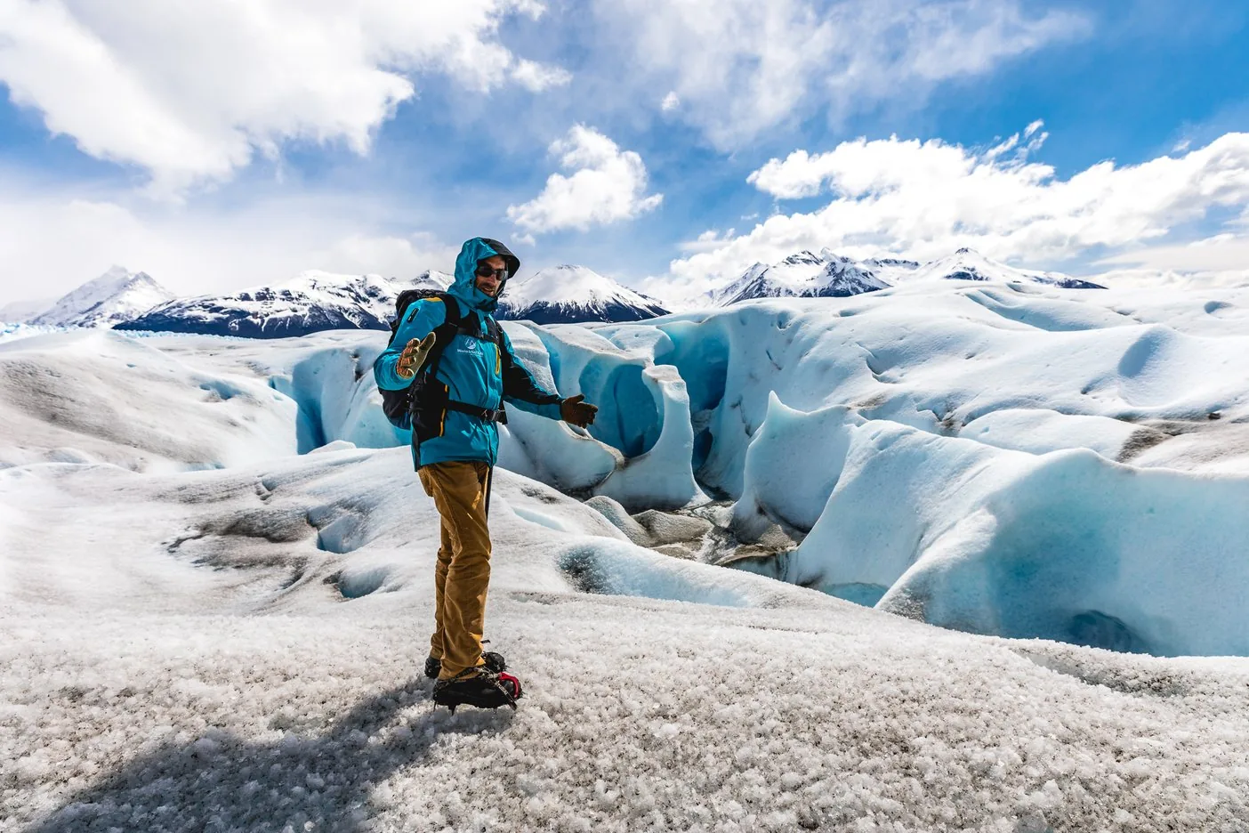
Walkways on the Península de Magallanes, boats in front of the ice, treks on the glacier.
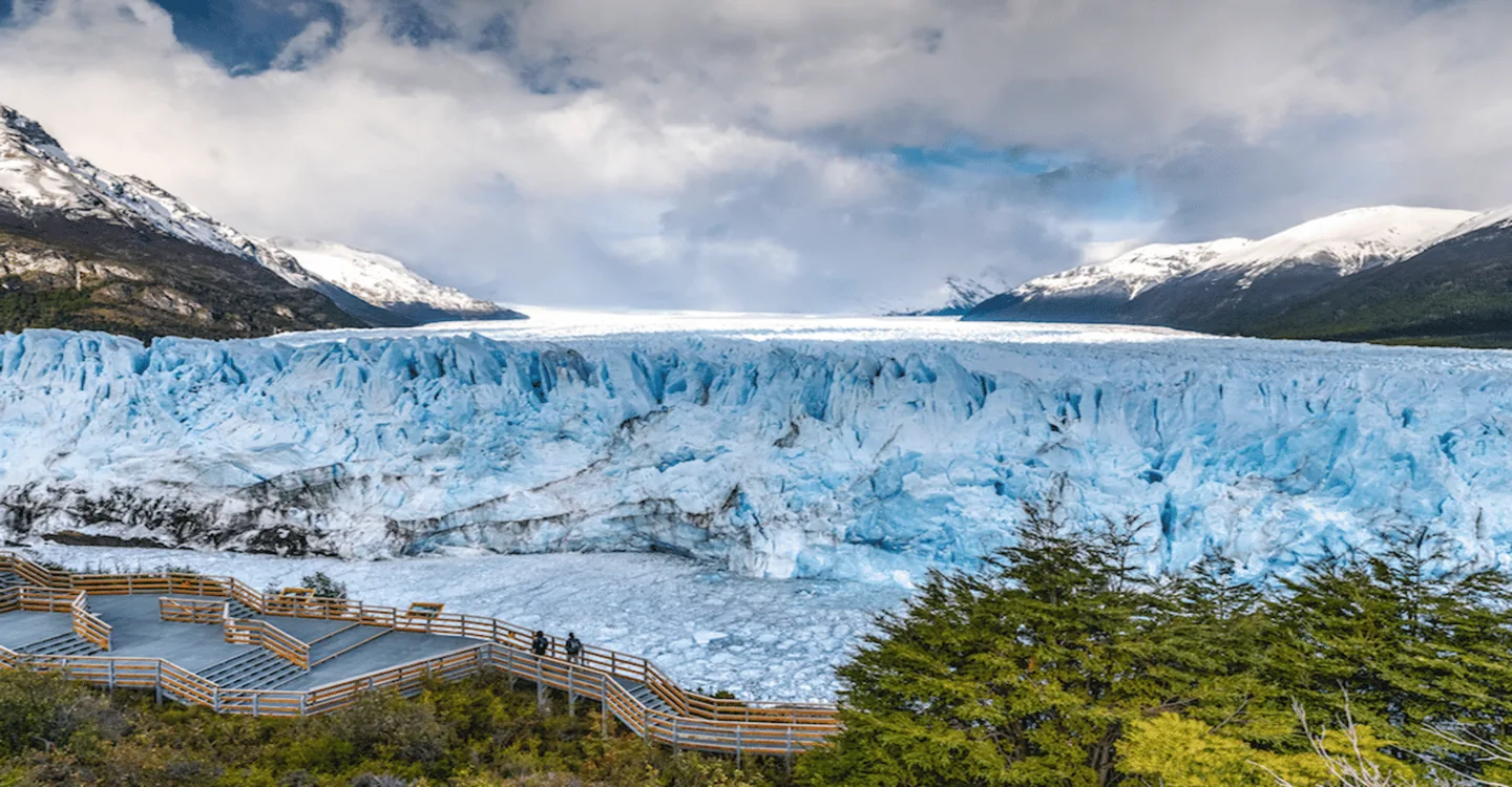
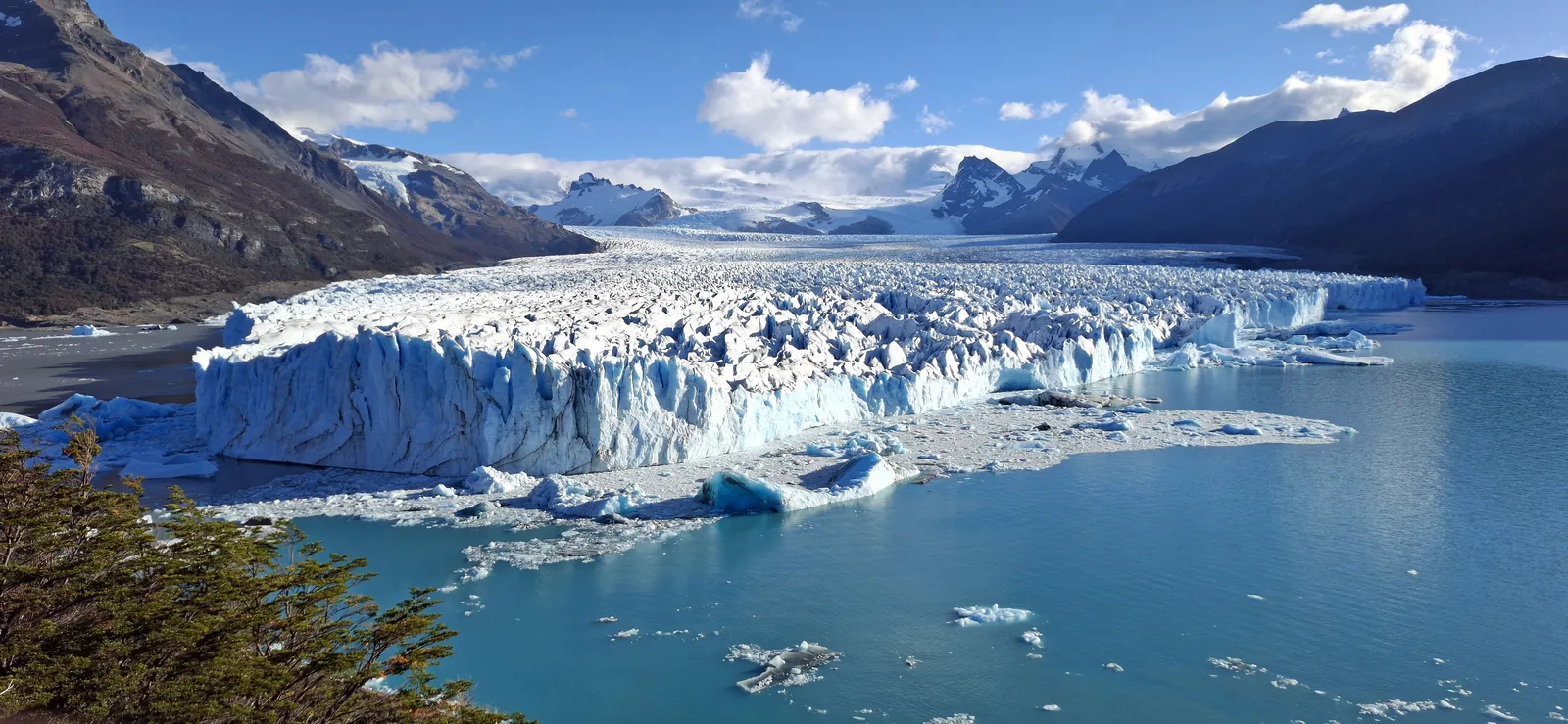
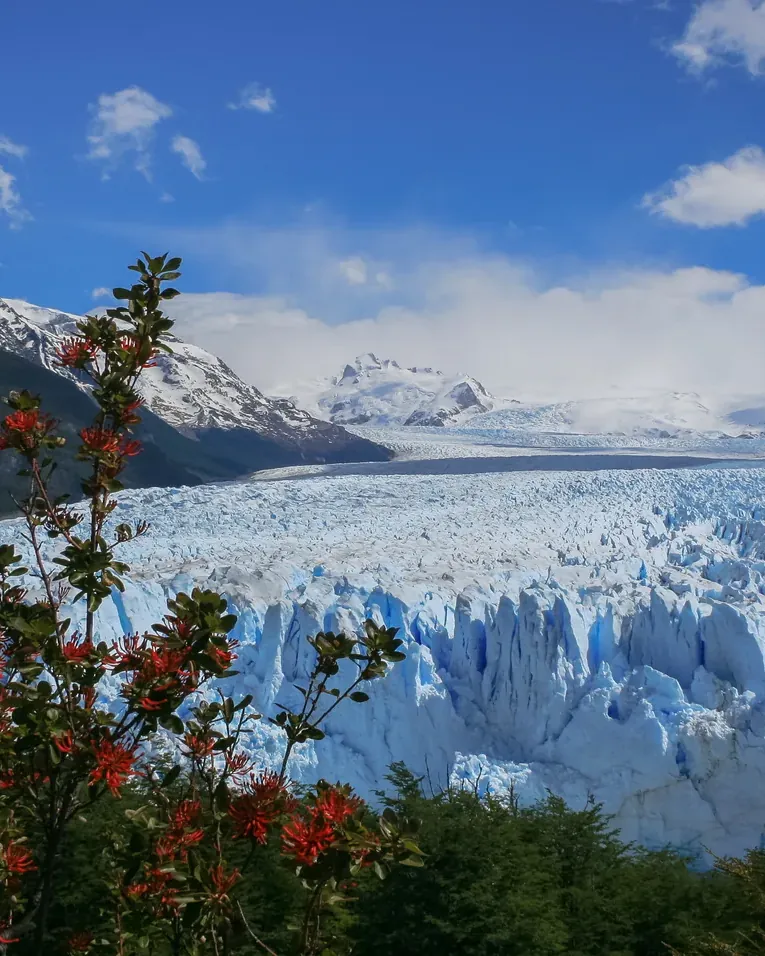
The Perito Moreno Glacier in the south of Los Glaciares National Park is, according to the park authority, the best-known glacier in the park because it is so easy to reach. It is about 80 km (50 mi) from El Calafate; walkways lead through the forest to a point facing the ice front, which rises above Lago Argentino and Brazo Rico.
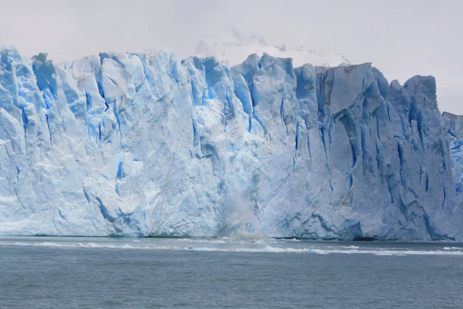
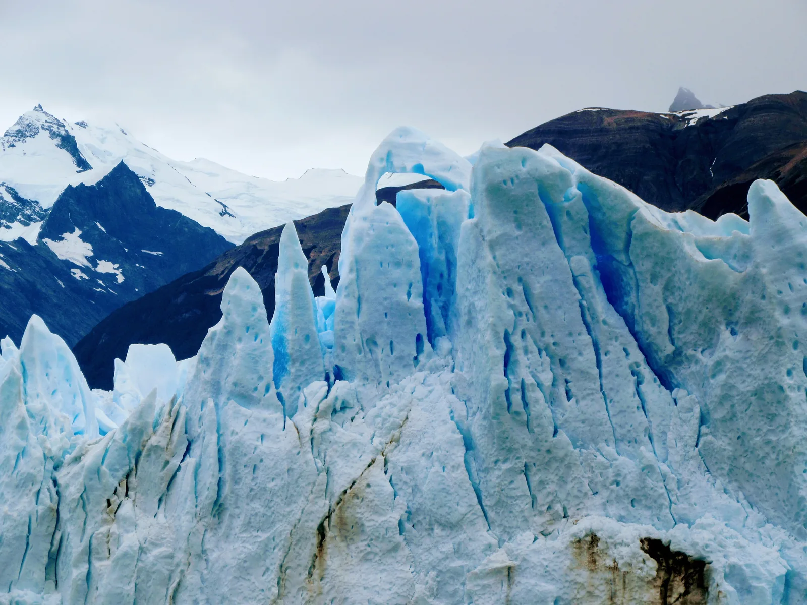
The glacier is almost 30 km (19 mi) long and covers 254 km², slightly more than the city of Buenos Aires. Its front is 4 to 5 km (2.5 to 3.1 mi) wide and about 70 m (230 ft) high; the lake in front of it lies only 177 m (581 ft) above sea level.
From time to time the ice pushes up against the Península de Magallanes and dams Brazo Rico. The water rises and tunnels through the ice dam until it collapses. According to the park authority, when this happens cannot be predicted.
APN: general information leaflet 2024 (ice field, glacier sizes, wildlife) ↗
In numbers
- Length
- almost 30 km (19 mi)
- Area
- 254 km²
- Front
- 4–5 km (2.5–3.1 mi) wide
- Height of the front
- about 70 m (230 ft)
- Lake level
- 177 m (581 ft) above sea level
- From El Calafate
- 80 km (50 mi)
- Walkways
- 6 trails
- Entry, foreign visitors
- 50,000 pesos