

Whitsundays: islands in the reef
The water and reefs belong to the Marine Park, the islands to Whitsunday Islands National Park.
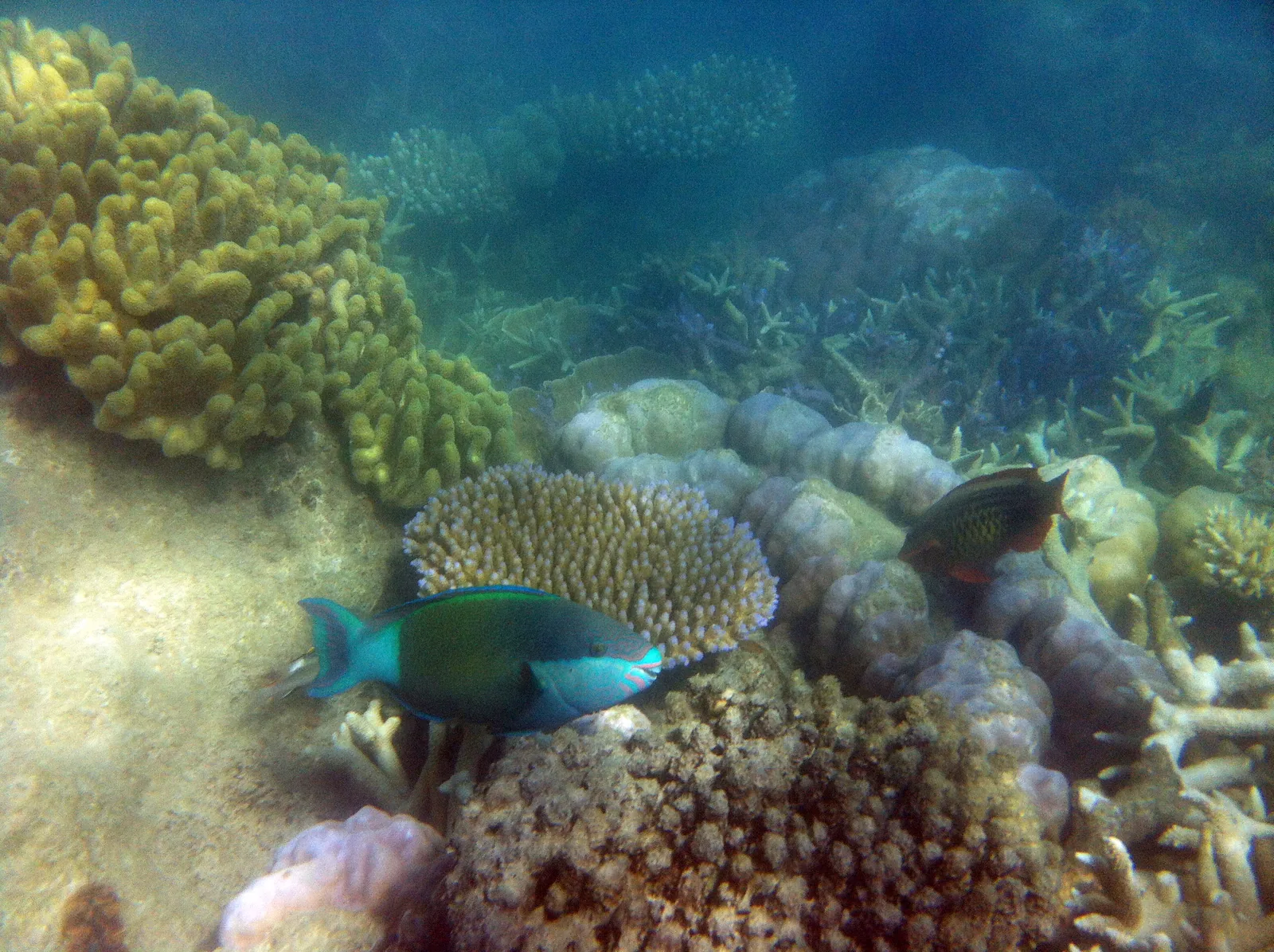
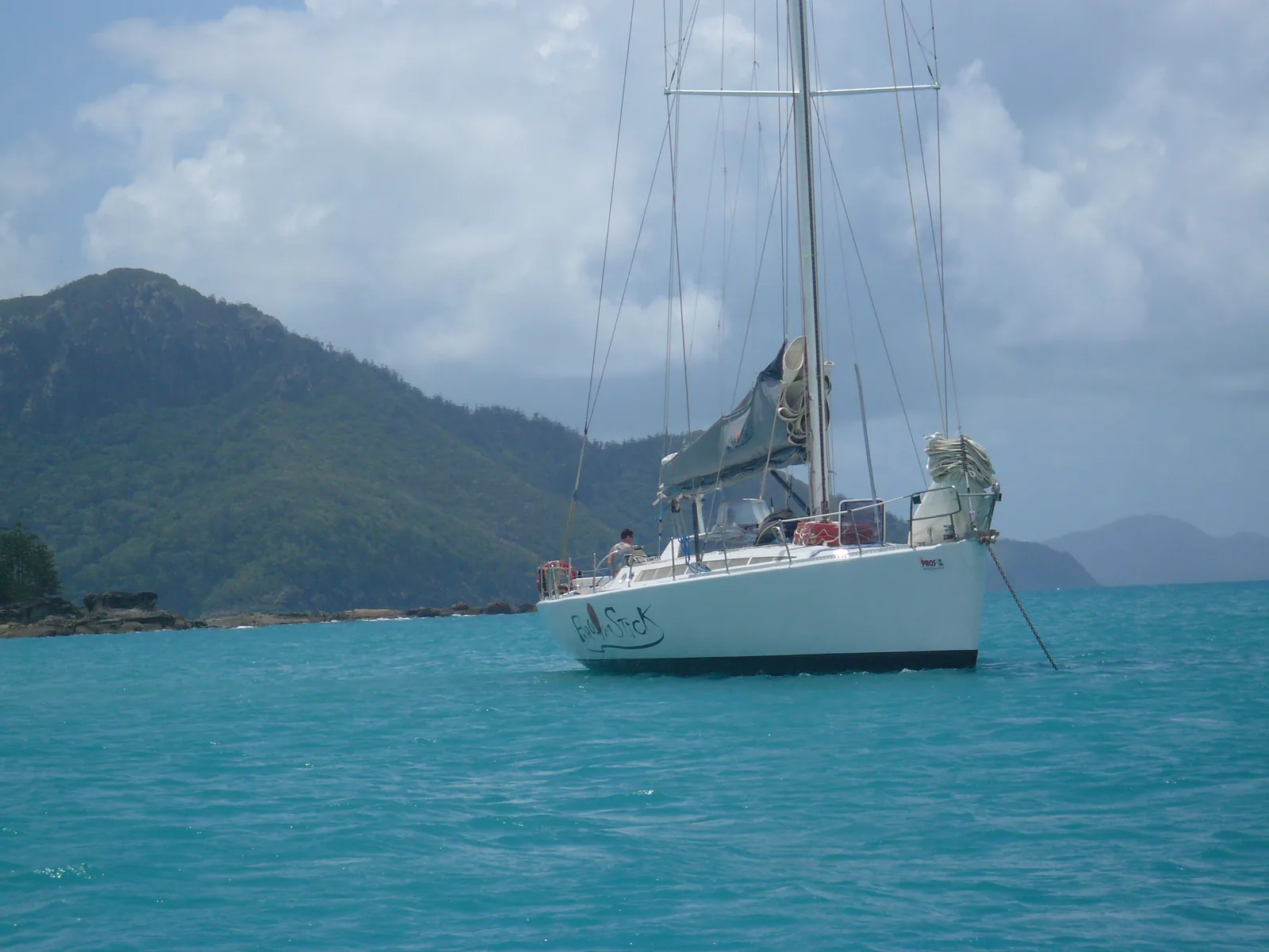
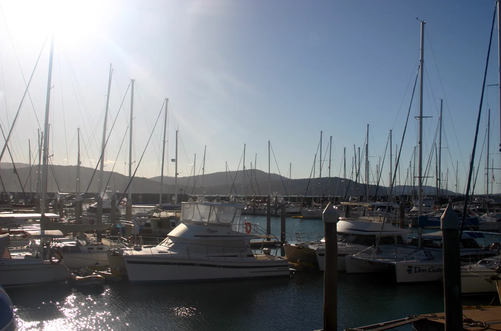
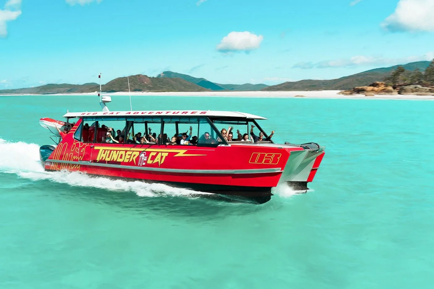
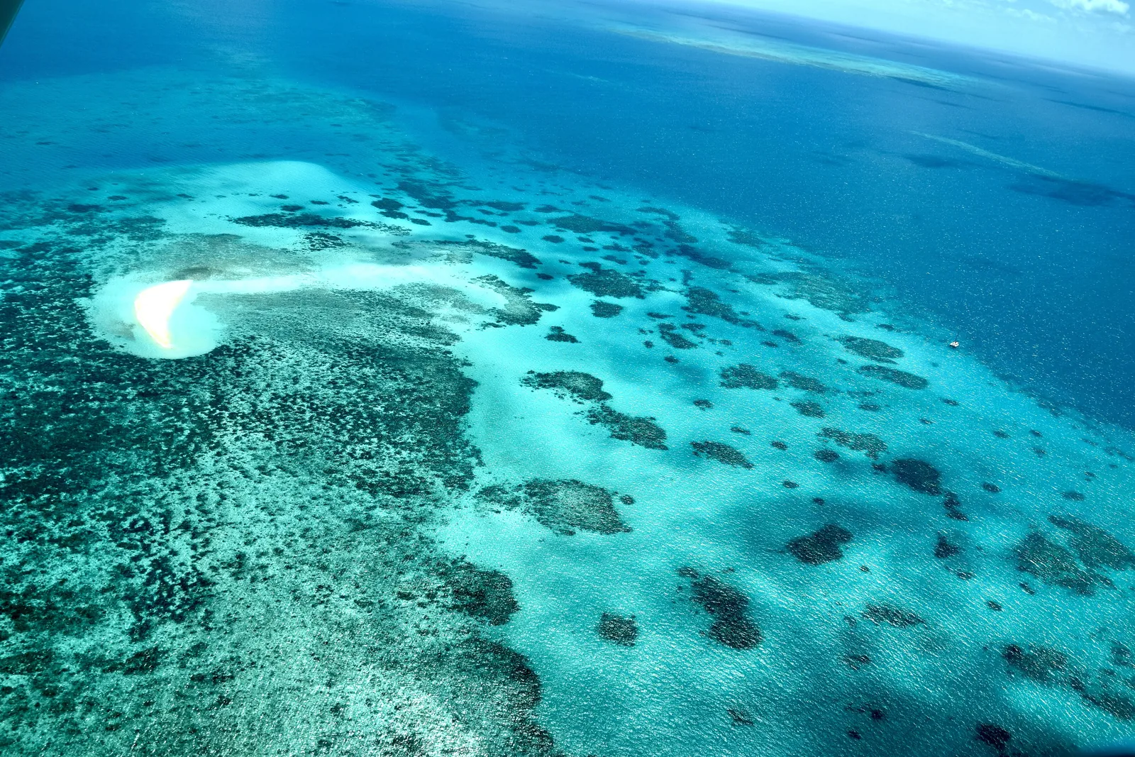
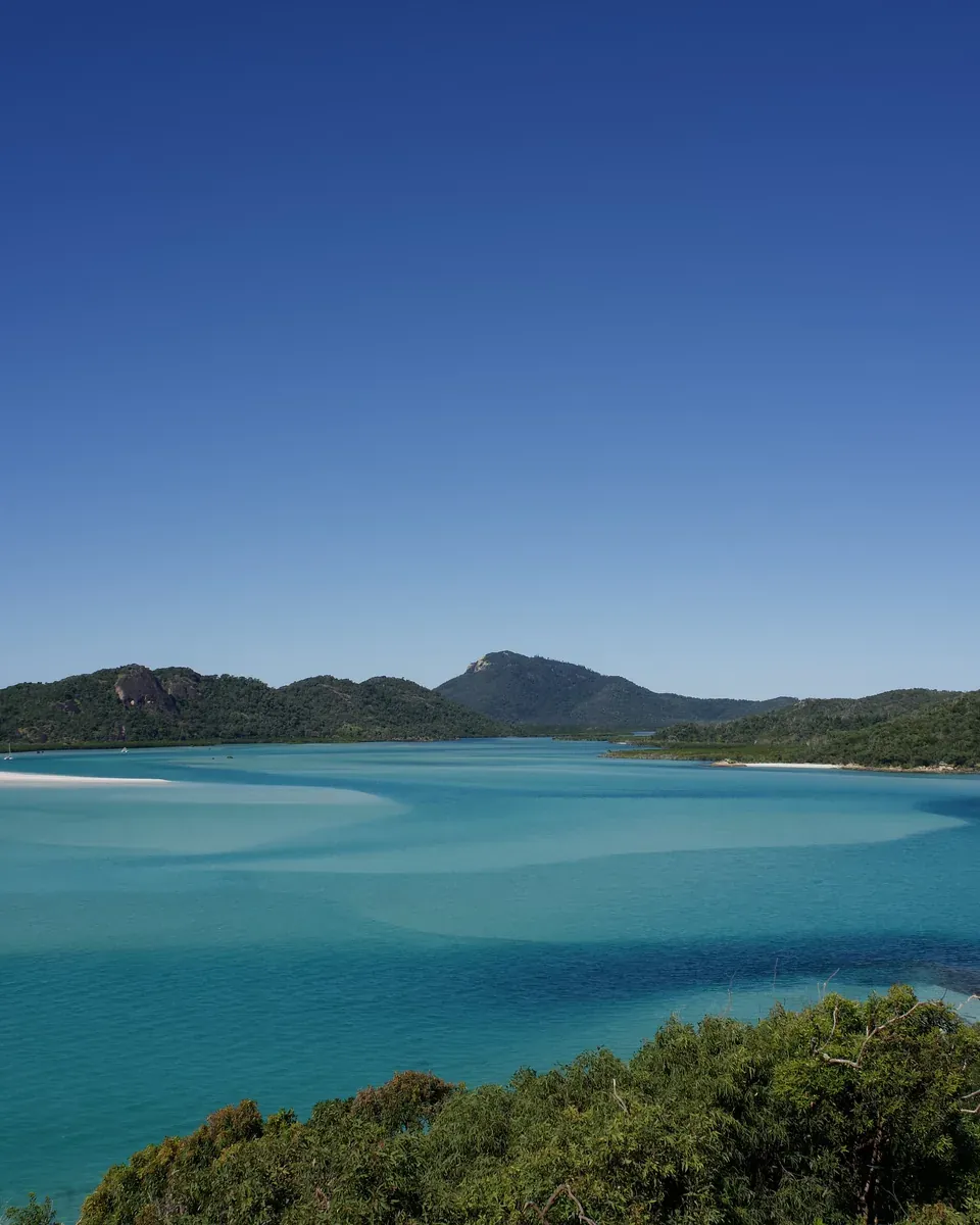
According to the Reef Authority, the Whitsundays off Airlie Beach are among the most visited areas of the Great Barrier Reef. The waters and reefs lie within the Marine Park; most of the islands, including Whitsunday Island with Whitehaven Beach and Hill Inlet, form the Queensland state's Whitsunday Islands National Park, about 25 km (16 mi) east of Airlie Beach.
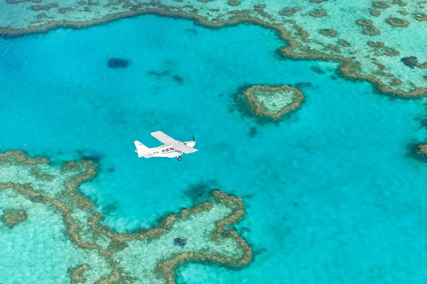
Since 1998 the Reef Authority's Whitsundays Plan of Management has applied to the area between Cape Gloucester and the Repulse Islands, including the Whitsunday Islands, the Lindeman Islands and Hardy Reef. It sets, for example, how large groups may be at certain sites and how high scenic flights must fly; since 2020 it has also applied in the state's waters.
According to Queensland Parks, the islands are the peaks of an old coastal range that the sea flooded between 19,000 and 6,000 years ago.
Reef Authority: Whitsundays Plan of Management (planning area, rules) ↗
In numbers
- Islands
- 74
- Airlie Beach – islands
- about 25 km (16 mi)
- Shute Harbour – Whitehaven
- 40 km (25 mi) by boat
- Proserpine – Airlie Beach
- 25 km (16 mi)
- Hill Inlet lookout
- 1.3 km (0.8 mi)
- Plan of Management
- since 1998
- Reef charge
- A$8.50 a day
- From 1 April 2027
- A$9