All places
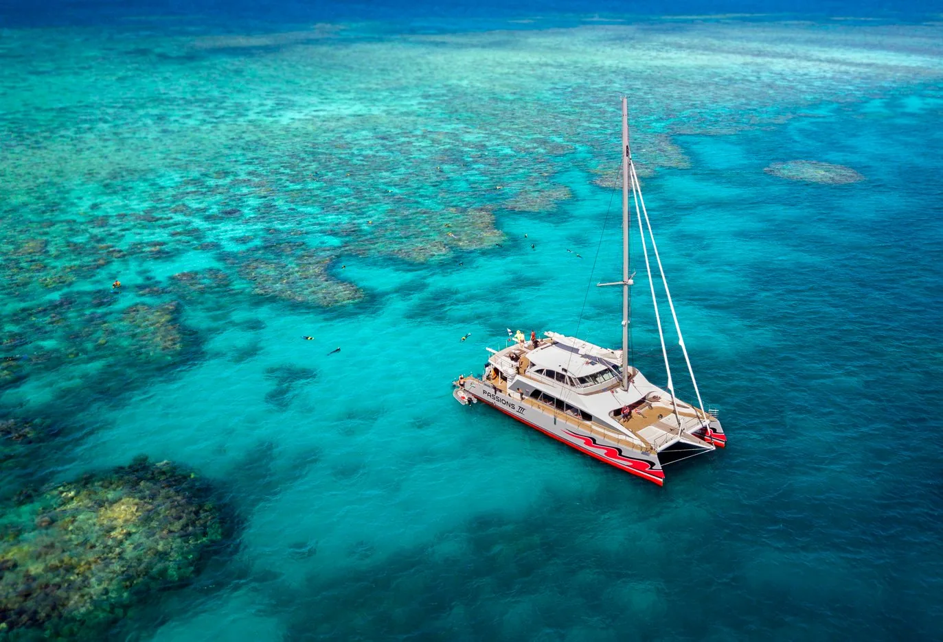
Agincourt Reef Destination of the large catamarans from Port Douglas.
Add to your Great Barrier Reef Marine Park visit Open in OpenStreetMap ↗ Location source ↗
-16.00568, 145.80859
All places
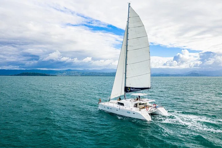
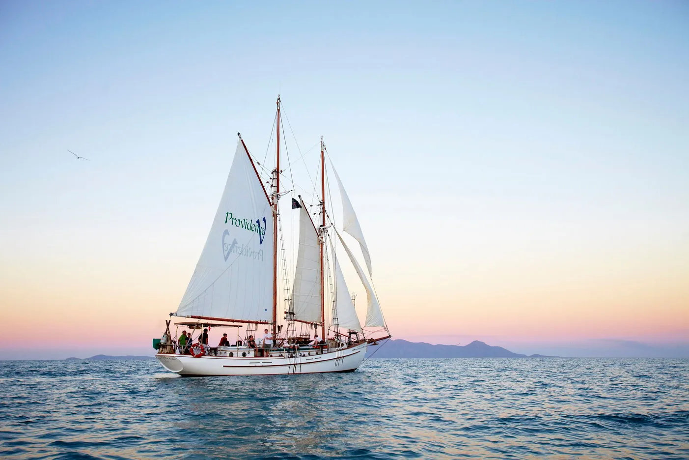
Low Isles Light Coral cay off Port Douglas, visited on sailing and snorkelling trips.
Add to your Great Barrier Reef Marine Park visit Open in OpenStreetMap ↗ Location source ↗
-16.38408, 145.55977
All places
Hastings Reef One of the reefs that tours from Cairns visit depending on the weather.
Add to your Great Barrier Reef Marine Park visit Open in OpenStreetMap ↗ Location source ↗
-16.51565, 146.02066
All places
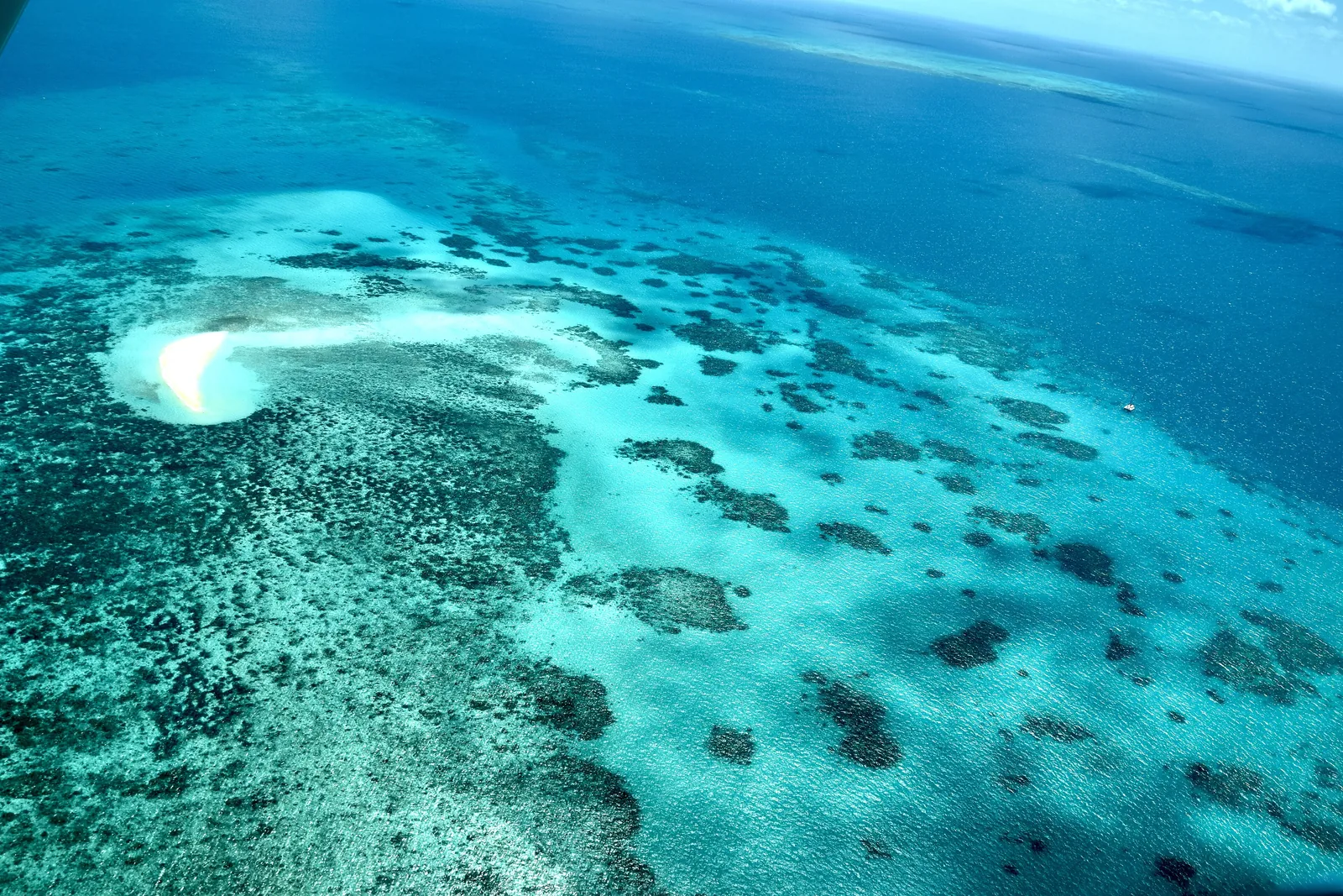
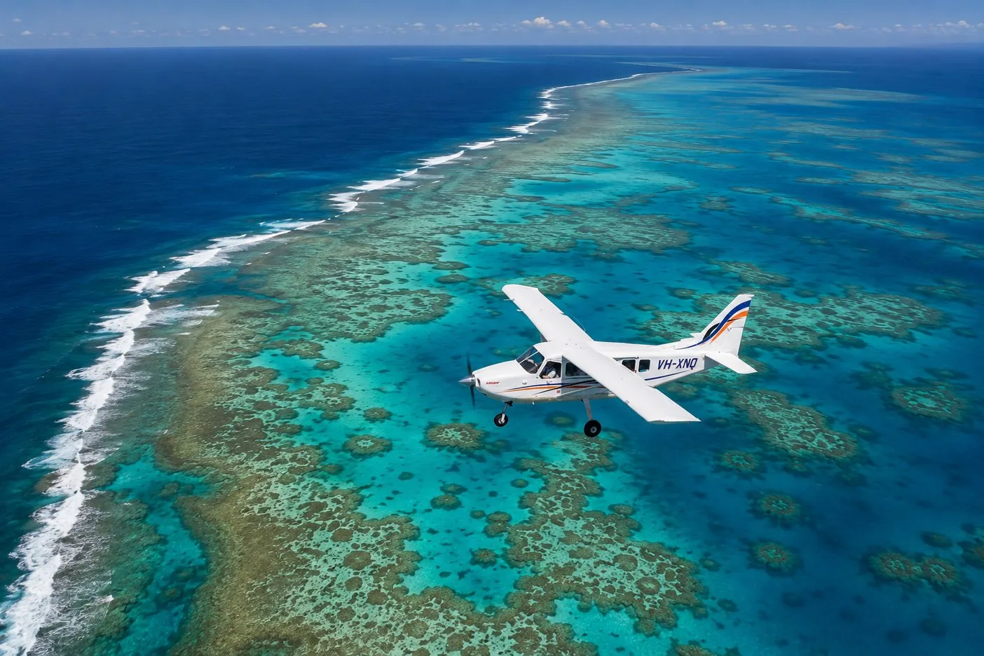
Upolu Cay Small sand bank on the reef, easy to see from the air.
Add to your Great Barrier Reef Marine Park visit Open in OpenStreetMap ↗ Location source ↗
-16.67409, 145.93373
All places
Flynn Reef Coral heads in shallow water.
Activities: snorkelling, diving, sailing, scenic flights
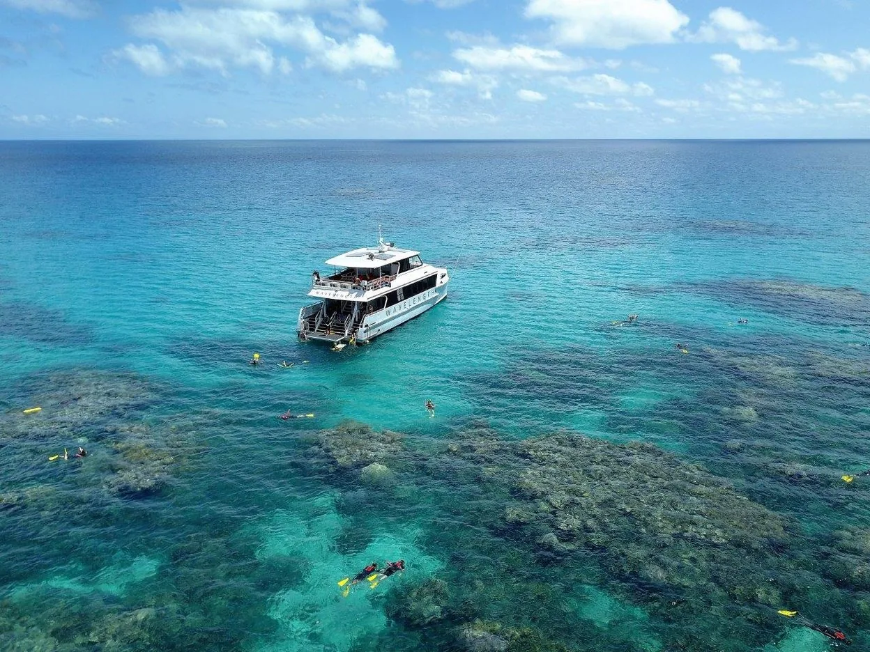
Snorkelling and diving Most day tours go to the outer reef, to pontoons or to coral cays. According to the Reef Authority, the Marine Park is home to 1,625 species of fish, 450 species of hard coral and six of the seven species of marine turtle.
Reef Authority (GBRMPA): facts about the Great Barrier Reef (344,400 km², about 3,000 reefs, established 1975) ↗
Add to your Great Barrier Reef Marine Park visit Open in OpenStreetMap ↗ Location source ↗
-16.73499, 146.27219
All places Photo: Jeremymcwhirter ↗ · CC BY-SA 4.0 ↗
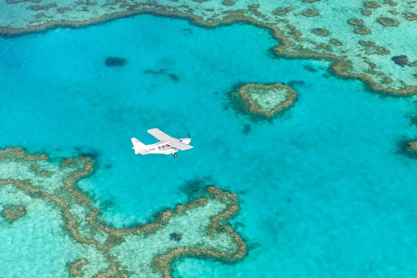
Heart Reef Only visible from above, on scenic flights from Airlie Beach.
Islands, white silica sand and Heart Reef – the most visited area of the reef.
Departure point Airlie Beach
Whitehaven Beach about 25 km (16 mi) east
Plan of Management since 1998
Hill Inlet Lookout trail 1.3 km Own page
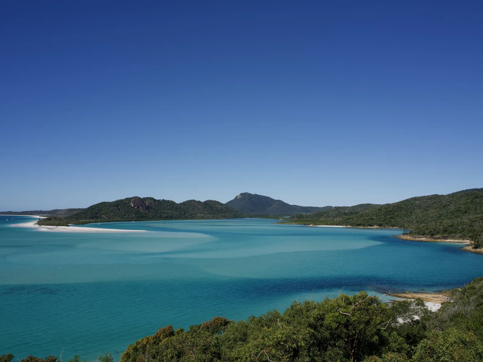
Whitsundays White silica sand, turquoise tidal channels and a heart-shaped reef – the most visited area of the Great Barrier Reef.
Reef charge (environmental management charge) of the Reef Authority, as of 9 September 2026 Full day (trip of 3 hours or more in the Marine Park) A$8.50 Short trip under 3 hours A$4.25 Full day from 1 April 2027 A$9
Beaches, reefs & getting there
Guided from here · Ad
Partner links: we may earn a commission if you book – at no extra cost to you. Thank you for supporting the atlas. Dates and prices with the provider.
Add to your Great Barrier Reef Marine Park visit Open in OpenStreetMap ↗ Location source ↗
-19.77799, 149.24866
All places
Hill Inlet White silica sand and tidal channels.
Own page
Whitsundays White silica sand, turquoise tidal channels and a heart-shaped reef – the most visited area of the Great Barrier Reef.
Beaches, reefs & getting there
Add to your Great Barrier Reef Marine Park visit Open in OpenStreetMap ↗ Location source ↗
-20.26046, 149.02078
All places
Whitehaven Beach About 25 km (16 mi) east of Airlie Beach, by boat or plane only.
Own page
Whitsundays White silica sand, turquoise tidal channels and a heart-shaped reef – the most visited area of the Great Barrier Reef.
Beaches, reefs & getting there
Add to your Great Barrier Reef Marine Park visit Open in OpenStreetMap ↗ Location source ↗
-20.27920, 149.04211
All places
Hill Inlet Lookout Platform On Tongue Point, 1.3 km (0.8 mi) return from Tongue Bay.
Own page
Whitsundays White silica sand, turquoise tidal channels and a heart-shaped reef – the most visited area of the Great Barrier Reef.
Beaches, reefs & getting there
Add to your Great Barrier Reef Marine Park visit Open in OpenStreetMap ↗ Location source ↗
-20.24590, 149.02047
All places
Whitehaven Beach Camping Book through Queensland Parks.
Own page
Whitsundays White silica sand, turquoise tidal channels and a heart-shaped reef – the most visited area of the Great Barrier Reef.
Beaches, reefs & getting there
Add to your Great Barrier Reef Marine Park visit Open in OpenStreetMap ↗ Location source ↗
-20.29575, 149.05618
All places
South Whitehaven Beach Lookout View north along the beach.
Own page
Whitsundays White silica sand, turquoise tidal channels and a heart-shaped reef – the most visited area of the Great Barrier Reef.
Beaches, reefs & getting there
Add to your Great Barrier Reef Marine Park visit Open in OpenStreetMap ↗ Location source ↗
-20.29788, 149.05776
All places
Whitehaven Beach Helipad For scenic flights with a landing.
Own page
Whitsundays White silica sand, turquoise tidal channels and a heart-shaped reef – the most visited area of the Great Barrier Reef.
Beaches, reefs & getting there
Add to your Great Barrier Reef Marine Park visit Open in OpenStreetMap ↗ Location source ↗
-20.27811, 149.03559
Locations verified from the linked original sources and OpenStreetMap. The map shows no trails or park boundaries; markers do not imply that access is permitted.
Map: © OpenStreetMap contributors, OpenMapTiles, OpenFreeMap. Elevation: Terrain Tiles (Mapzen, AWS Open Data); 3DEP, GMTED2010 and SRTM courtesy of the U.S. Geological Survey; EU-DEM (Copernicus, European Union); ETOPO1 (NOAA); ArcticDEM (NSF, DigitalGlobe); Geoscience Australia; Open Data Austria (DGM); Open Government Licence – Canada; INEGI; Land Information New Zealand; Kartverket; Environment Agency (UK).
Park photo: Photo: Ank Kumar ↗ · CC BY-SA 4.0 ↗