
The Malerweg: eight days through Saxon Switzerland
From Pirna-Liebethal to the Bohemian border and back over the table mountains to Pirna.
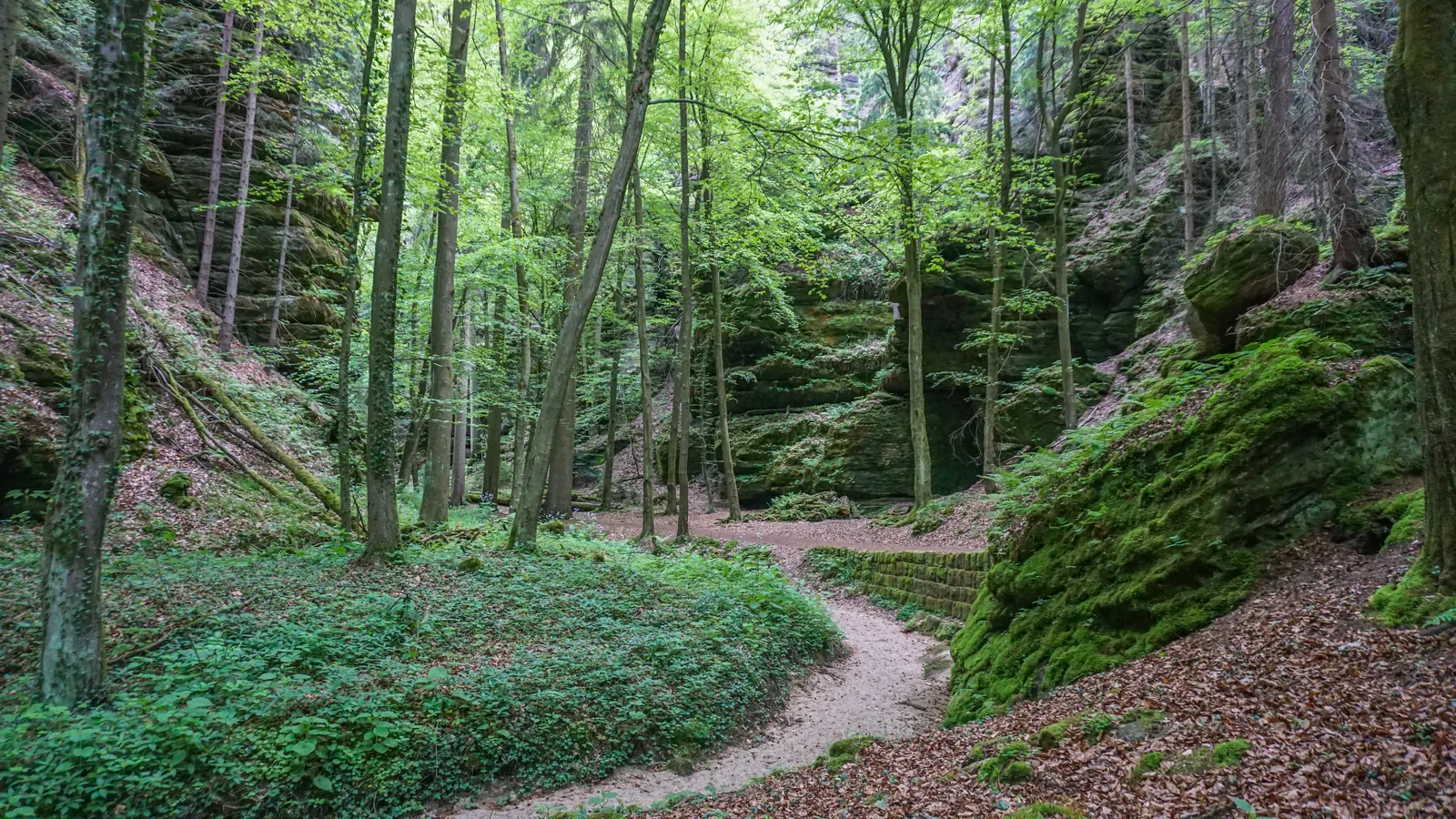
The Malerweg (Painters' Way) runs for about 116 kilometres (72 mi) through the Saxon Switzerland national park region: from Liebethal near Pirna through the national park's rock world to the Bohemian border, and along the left bank of the Elbe through the realm of the table mountains back to the heart of Pirna. The tourism association gives about 46 hours of walking and 3,600 metres (11,811 ft) of ascent.
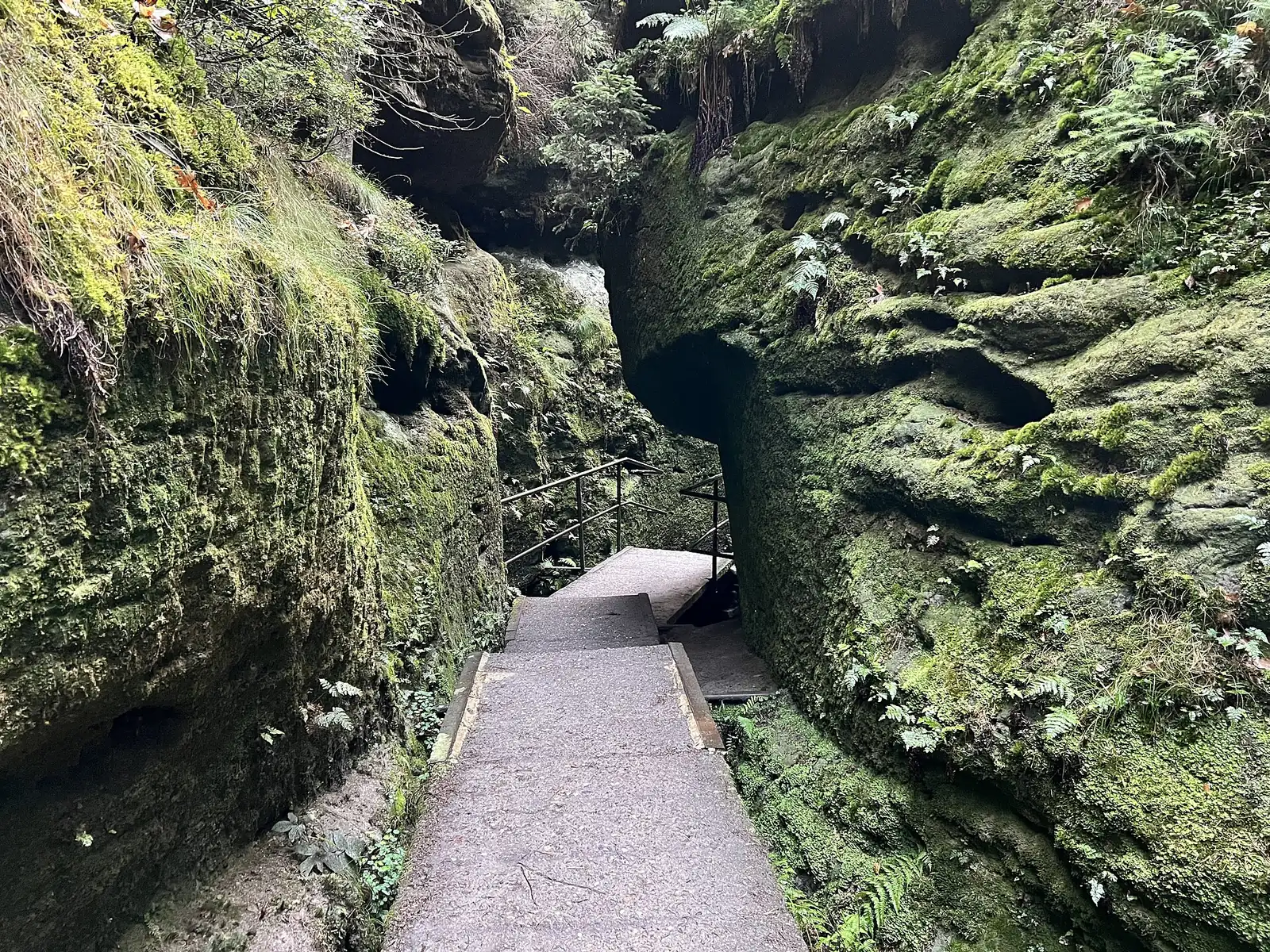
The official recommendation is eight day stages of between 11 and 18 kilometres. That sounds short, but the ascent takes time: the trail climbs countless steps and ladders through the rocks. If you stay overnight along the way, you sleep in hotels, guesthouses or at the campsite; there are no trekking bivouacs on the Malerweg, they belong to the Forststeig trail on the other side.
Only part of the route passes through the national park; the rest runs through the landscape protection area that surrounds it. In the national park you must strictly stay on the paths, and in the core zone only marked paths may be used. Camping and tents are prohibited, and dogs stay on a lead.
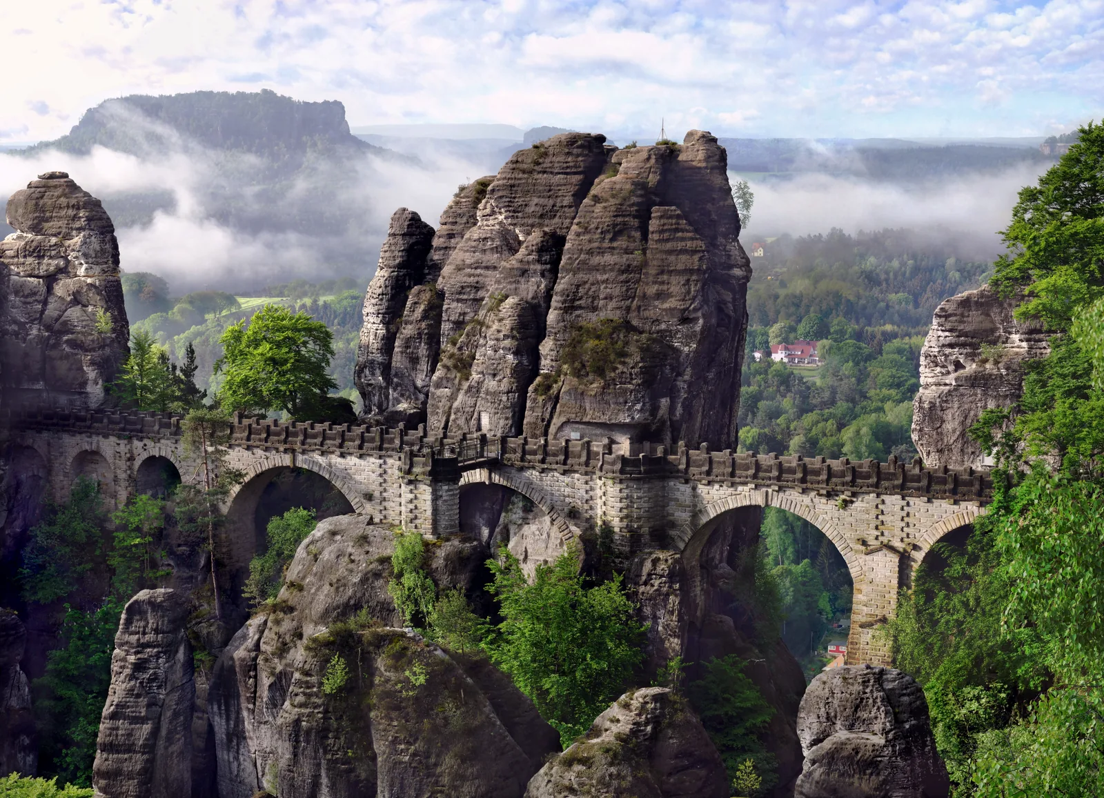
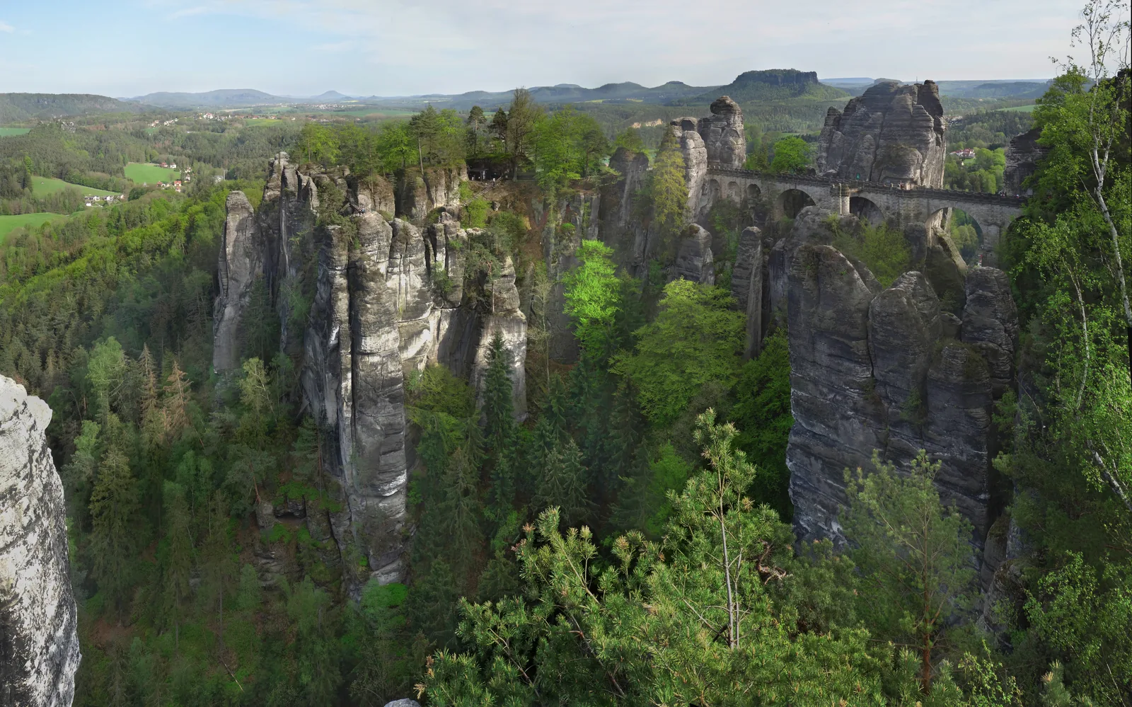
In 2026 the trail celebrates its 20th anniversary. If you walk the whole route, you will have seen the region's best-known sights: the Bastei, Königstein Fortress, the Schrammsteine and the Pfaffenstein all lie along the way.
Saxon Switzerland tourism association: Malerweg ↗
In numbers
- Total length
- about 116 kilometres (72 mi)
- Total walking time
- about 46 hours
- Ascent
- about 3,600 m (11,811 ft)
- Stages
- eight
- Shortest stage
- 11.55 kilometres
- Longest stage
- 18.35 kilometres
- Start
- Pirna-Liebethal
- Finish
- Pirna
- Anniversary
- 20 years in 2026