National Parks Atlas
Map

00 · Table mountain in the national park · Saxony · Saxon Switzerland National Park

Lilienstein

The only table mountain on the right bank of the Elbe, and the national park's logo. Two paths lead up, one of them since 1708.

Ascents & getting thereGetting there & parkingOpening times

View plan

Photo: Philipp Konetschni ↗ · CC BY-SA 4.0 ↗

415 m (1,362 ft)Height

Above the Elbe valley

since 1708South ascent

Steps cut for Augustus the Strong

No parking on the roadParking

The car park fills up quickly

The Lilienstein: the national park's logo

A table mountain that the park authority has made its own emblem.

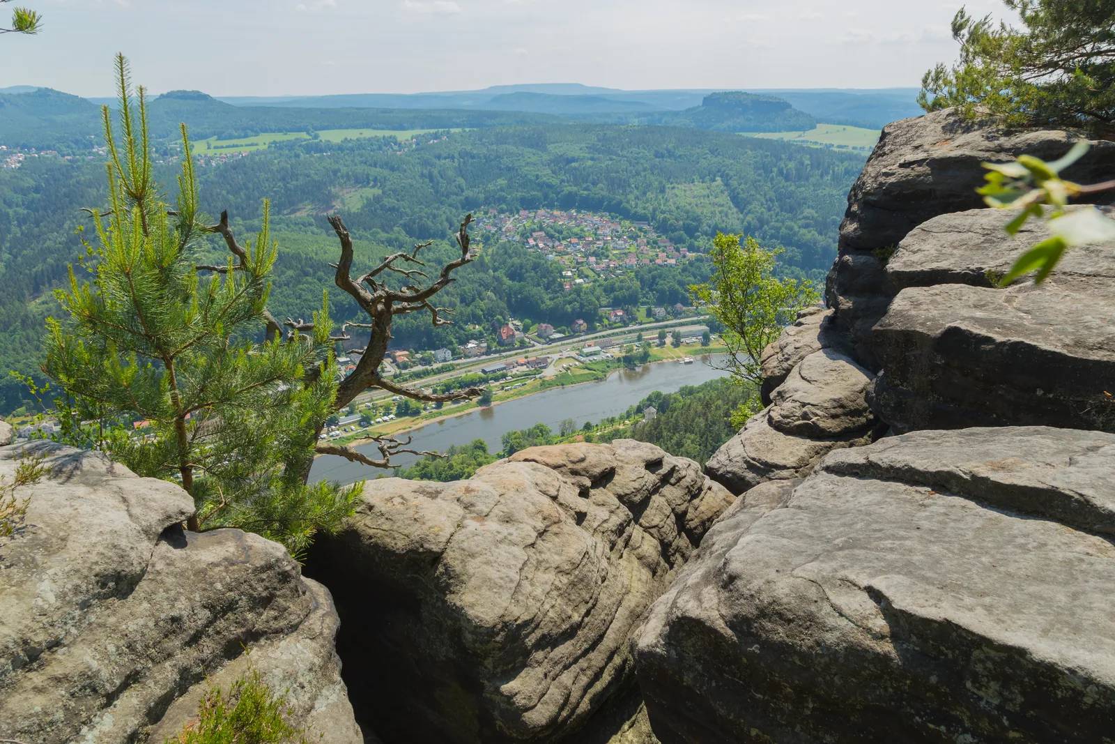
The Lilienstein is the only table mountain on the right bank of the Elbe. It rises 415 metres (1,362 ft) above the Elbe valley, opposite Königstein Fortress, and the national park authority chose its striking silhouette as its logo.

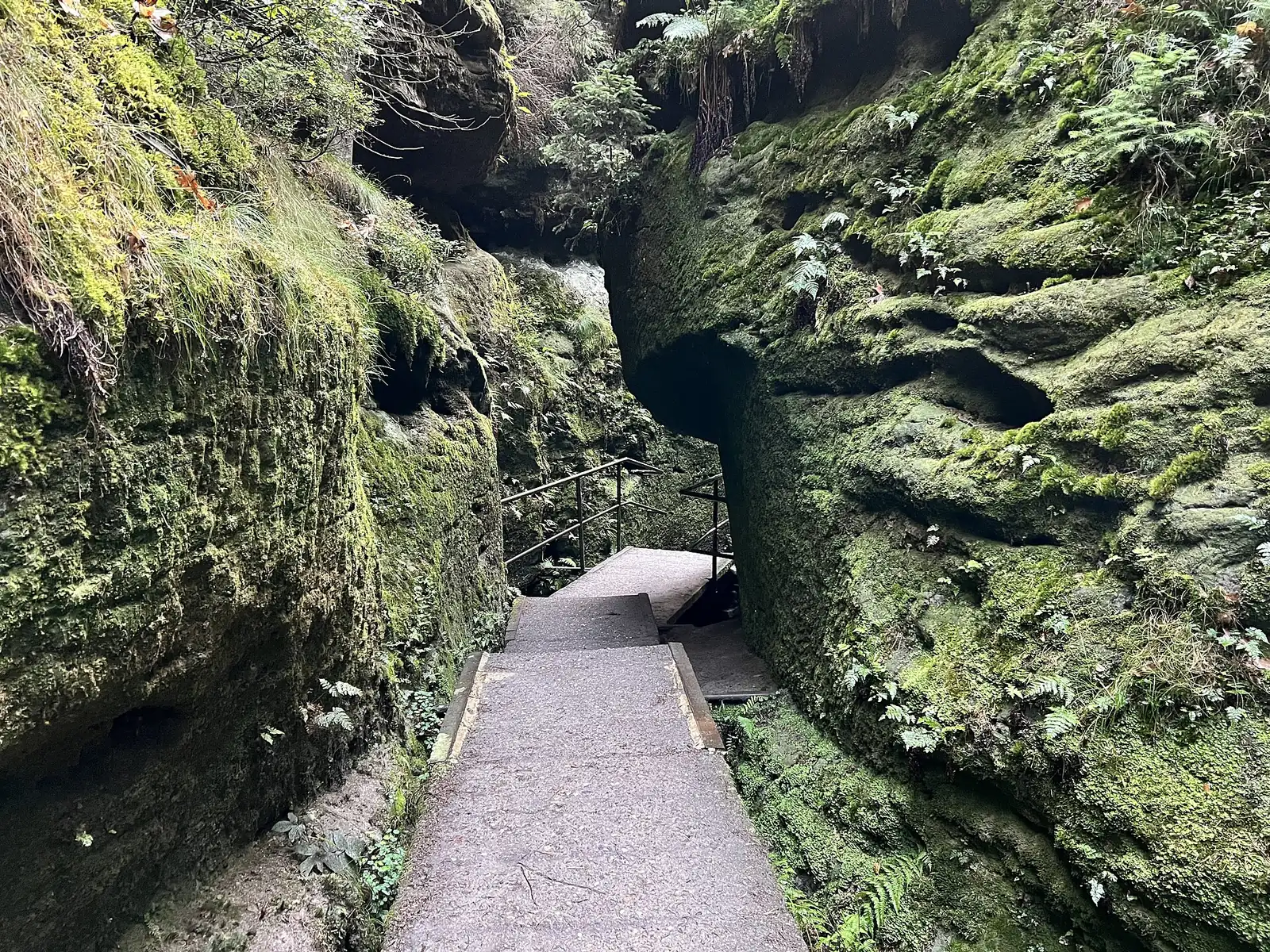
Two paths with very different histories lead to the plateau. In 1708 Augustus the Strong, Elector of Saxony and King of Poland, climbed the mountain and had steps cut into the south side for the purpose. The north ascent was only built in 1900.

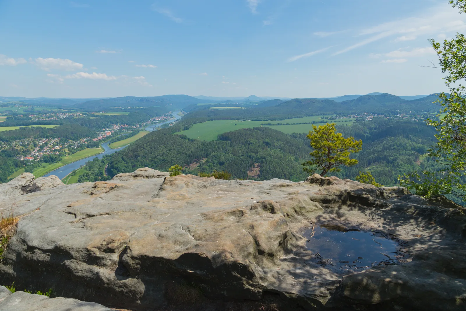
At the top, visitors find several viewpoints over the Elbe valley and an inn. The national park authority's family nature trail also leads around and over the mountain.

The authority gives a clear tip for getting there: parking is prohibited on the road to the car park below the Lilienstein, and the car park fills up quickly, especially in good weather. Public transport is recommended.

National park authority: destinations and sights ↗

In numbers

Height
415 m (1,362 ft)
South ascent
since 1708
North ascent
since 1900
Opposite
Königstein Fortress
On the plateau
Viewpoints and an inn
Bus to the foot of the mountain
Route 253 to Waltersdorf
Train
S-Bahn to Königstein
Then
Ferry to Halbestadt

Saxon Switzerland National Park profile

01 · Plan

Ascents & getting there

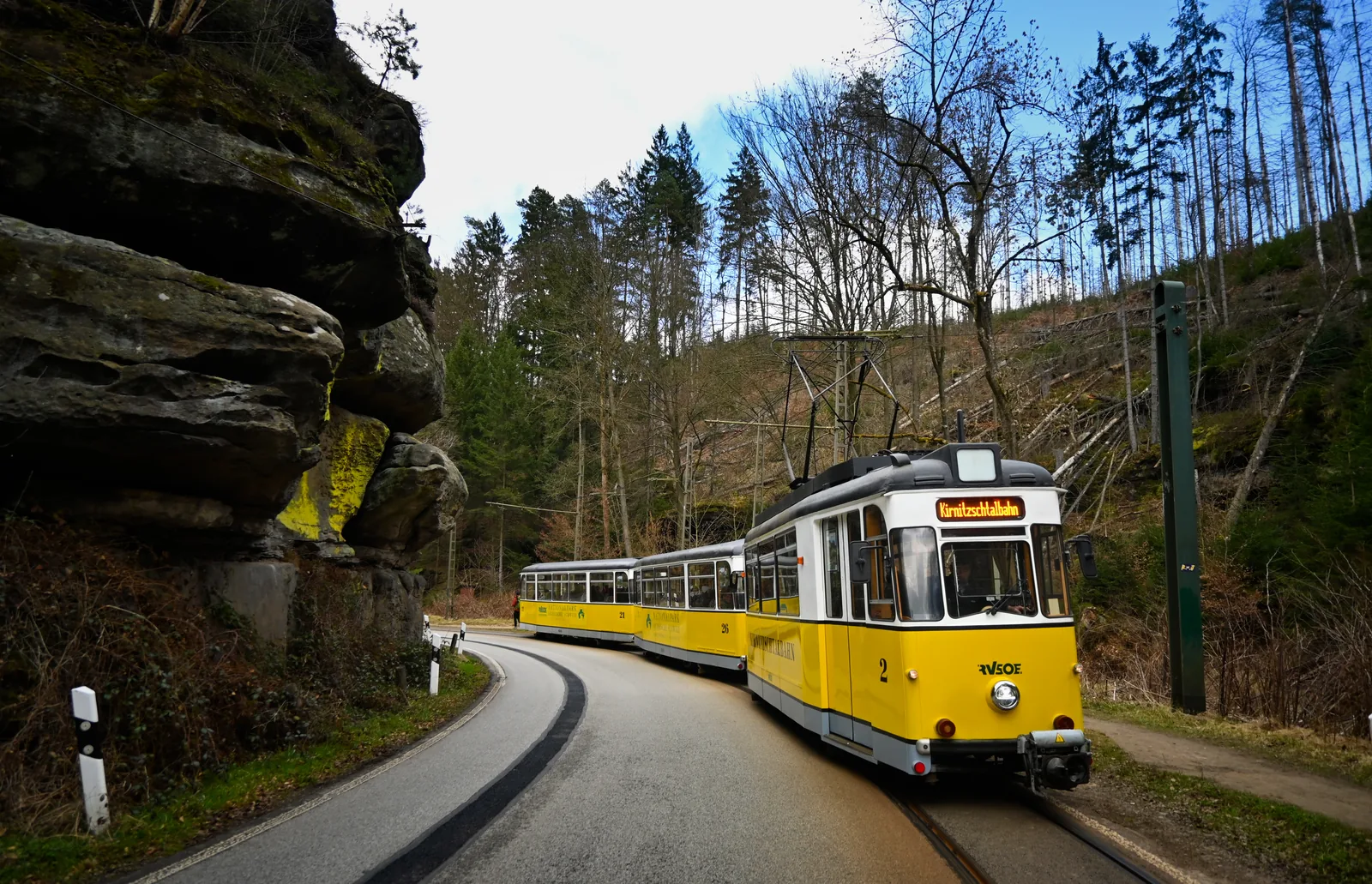
Train and ferry, or bus. By car it gets tight.

Photo: Daniel Ramminger from Heidelberg, Germany ↗ · CC BY 2.0 ↗

How to get there

Train and ferry, or bus. By car it gets tight.

By car: mind the parking ban

The access road leads via Waltersdorf to the car park below the Lilienstein. The national park authority explicitly points out that parking is prohibited on the road. It recommends public transport, because the car park fills up quickly in good weather.

National park authority: destinations and sights ↗

Price list

checked 20 Sep 2026

Entrance fees & costs

The mountain costs nothing.

No entrance fee

The Lilienstein is freely accessible, and the family nature trail is free as well.

National park authority: destinations and sights ↗

Parking and ferry

You pay for getting there, the ferry and the car park if you use it. VVO tickets and the Deutschlandticket are valid on the RVSOE Elbe ferries, within their area and time of validity.

National park authority: getting there and getting around ↗

The mobil guest card

If you stay overnight in the national park region and receive the Saxon Switzerland mobil guest card, you travel free on all public transport in the region.

National park authority: getting there and getting around ↗

Food and drink at the top

There is an inn on the plateau. Ask there directly about opening hours and prices.

National park authority: destinations and sights ↗

Best time to visit

Open all year, but not always equally busy.

02 · On site

Hikes & routes: ascent, plateau, viewpoints and nature trail

Viewpoints, a nature trail and old forests.

Photo: Philipp Konetschni ↗ · CC BY-SA 4.0 ↗

“The mountain the national park has made its emblem.”

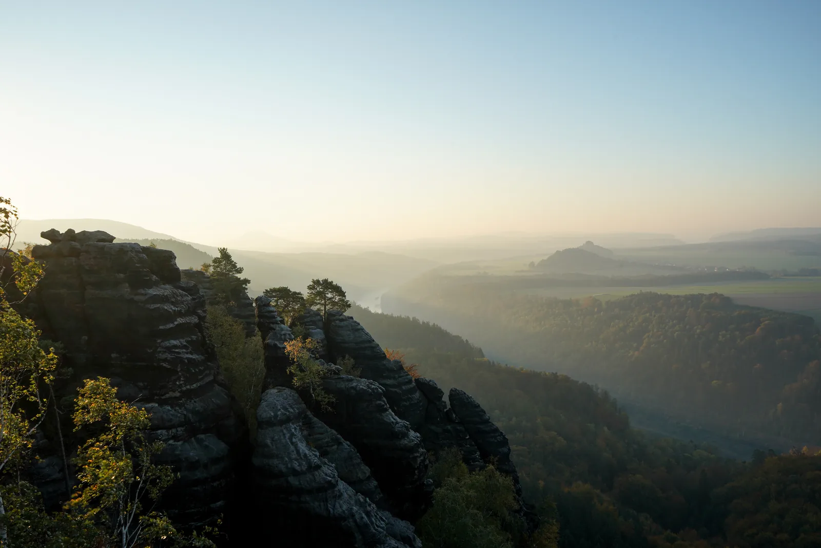
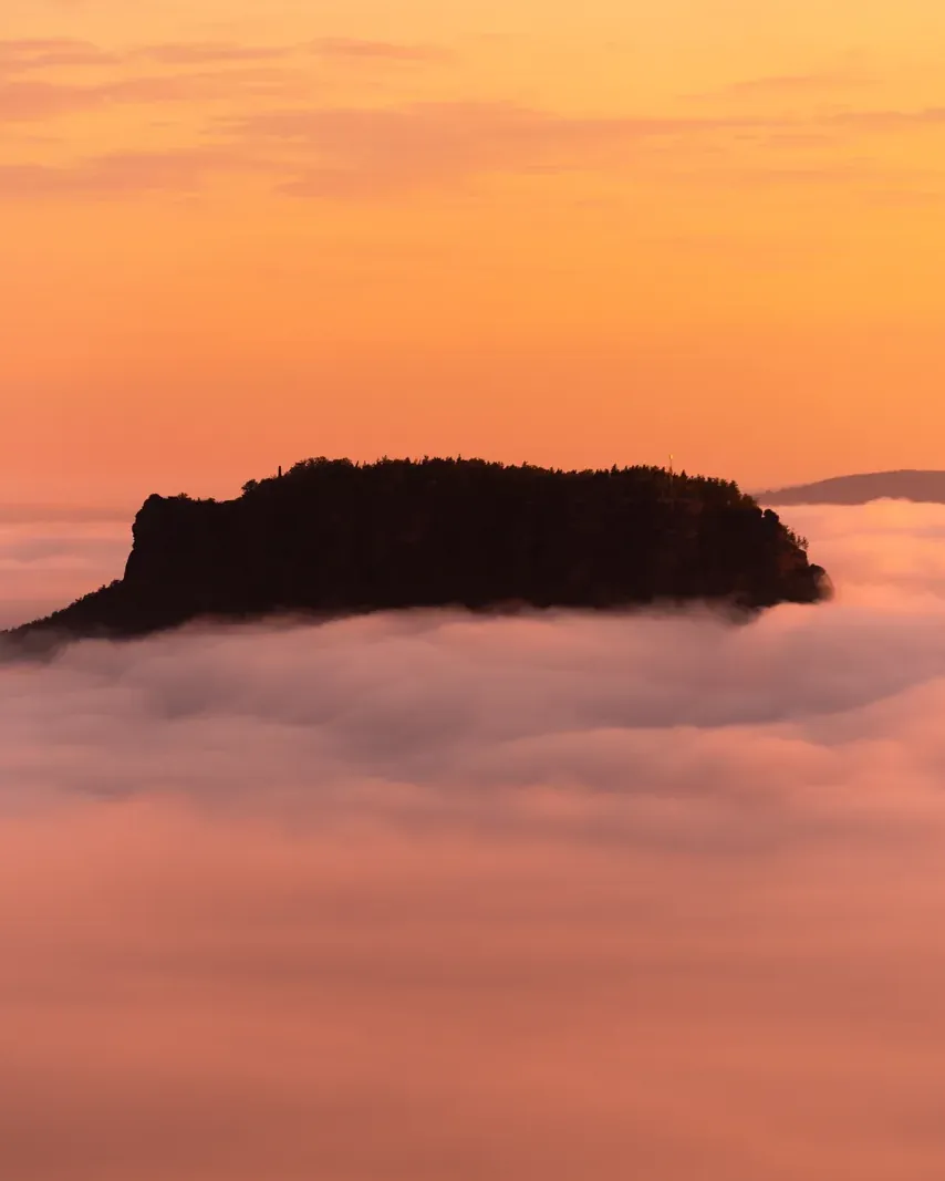
The Lilienstein from the Gohrisch at sunrise: the only table mountain on the right bank of the Elbe.

Hikes & routes: ascent, plateau, viewpoints and nature trail

Viewpoints, a nature trail and old forests.

The family nature trail

The national park authority runs a family nature trail around and over the table mountain: 4.3 kilometres (2.7 mi) from the Sellnitz education centre, eight stations with audio files, designed for children aged 5 to 11.

National park authority: Lilienstein family nature trail ↗

Loop from Königstein via the south and north ascents

Start and finish at Königstein station (S-Bahn). Take the ferry to Halbestadt, follow the blue stripe via Ebenheit and the south ascent, whose steps were cut into the rock for Augustus the Strong in 1708, to the plateau with the obelisk; go down by the north descent (yellow and blue stripes) and back along the Kirchweg by the Elbe. In the national park authority's Komoot collection: 6.1 kilometres (3.8 mi), 294 metres of ascent and 294 of descent, about 2:10 hours, difficult. Suitable for children, only partly for dogs: step ladders on the north descent, metal grating on the south ascent.

Saxon Switzerland National Park: tour "To the landmark of Saxon Switzerland National Park: the Lilienstein" in the park authority's Komoot collection (retrieved on 3 Oct 2026) ↗

Film by the tourism association

Saxon Switzerland National Park

The park authority does not run its own video channel. This landscape film comes from the regional tourism association: it shows the park, but it is not an official presentation.

Source: Saxon Switzerland tourism association · View channel ↗

03 · Nearby

Onward from here

The Lilienstein stands in the middle of Saxon Switzerland National Park and is its emblem. The park's other sights and rules are in the park profile.

Photo: Philipp Konetschni ↗ · CC BY-SA 4.0 ↗

Map

Lilienstein on the terrain map

Four points, each verified against an OpenStreetMap object. All points are on the Saxon Switzerland National Park map, with details and photos.

Show on mapSaxon Switzerland National Park map · 3D terrain

Field book · Lilienstein

checked 20 Sep 2026

01Rules: good to know

Rules, safety and alternatives.

Stay on the paths

In the national park you must stay on the paths so that nature keeps its quiet zones. The official hiking trails are signposted on the ground.

National park authority: destinations and sights ↗

Deadwood and falling trees

On many paths in the national park there is a high risk from dead trees and collapsing deadwood, especially in wind and rain.

National park authority: hiking safely ↗

No path for pushchairs

Both ascents climb steps to the plateau. They are not suitable for pushchairs or wheelchairs.

National park authority: destinations and sights ↗

In the national park

A point-in-polygon check against the OpenStreetMap boundary places the summit of the Lilienstein about 370 metres inside the national park.

OpenStreetMap: boundary of Saxon Switzerland National Park ↗

If the car park is full

According to the authority, the car park below the Lilienstein fills up quickly, especially in good weather, and parking is prohibited on the road. It recommends public transport: S-Bahn to Königstein and the ferry to Halbestadt, or bus 253 to Waltersdorf.

National park authority: destinations and sights ↗

02Lilienstein: frequently asked questions

Short answers, with sources.

How high is the Lilienstein?

415 metres (1,362 ft). It is the only table mountain on the right bank of the Elbe and rises from the landscape opposite Königstein Fortress.

National park authority: destinations and sights ↗

How do you get up the Lilienstein?

By two ascents: the south ascent, for which Augustus the Strong had steps cut in 1708, and the north ascent from 1900. Take the S-Bahn to Königstein and the ferry to Halbestadt for the south ascent, or bus route 253 to Waltersdorf for the north.

National park authority: destinations and sights ↗

Can you drive to the Lilienstein?

To the foot of the mountain: there is a car park below the Lilienstein, reached via Waltersdorf. However, the national park authority explicitly points out that parking is prohibited on the road and that the car park fills up quickly in good weather; it recommends public transport.

National park authority: destinations and sights ↗

How much does the Lilienstein cost?

Nothing. The mountain is freely accessible, and so is the national park authority's family nature trail. You only pay for getting there, the ferry and parking if needed.

National park authority: destinations and sights ↗

What is there on the plateau?

Several viewpoints over the Elbe valley and an inn. A family nature trail run by the national park authority also leads around and over the mountain.

National park authority: destinations and sights ↗

Why is the Lilienstein the national park's logo?

Because of its striking silhouette. The authority writes that it chose this well-known shape of the Lilienstein as its national park logo.

National park authority: destinations and sights ↗

03Sources and last checked

Operator, municipality and park authority, each fact cited individually.

Places on the map

  • Lilienstein Table mountain, 415 m (1,362 ft)

    The only table mountain on the right bank of the Elbe. Point-in-polygon check against the national park's OpenStreetMap boundary: inside.

    Location source ↗
  • Waltersdorf Bus stop & access road

    Stop for bus route 253 and access to the car park below the Lilienstein. Parking is prohibited on the road.

    Location source ↗
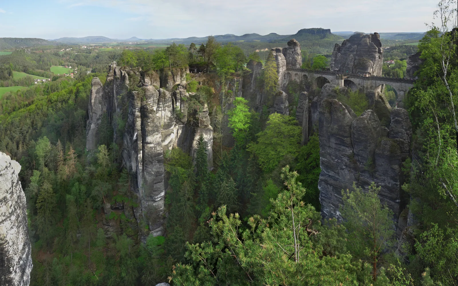
  • Bastei Also in the park

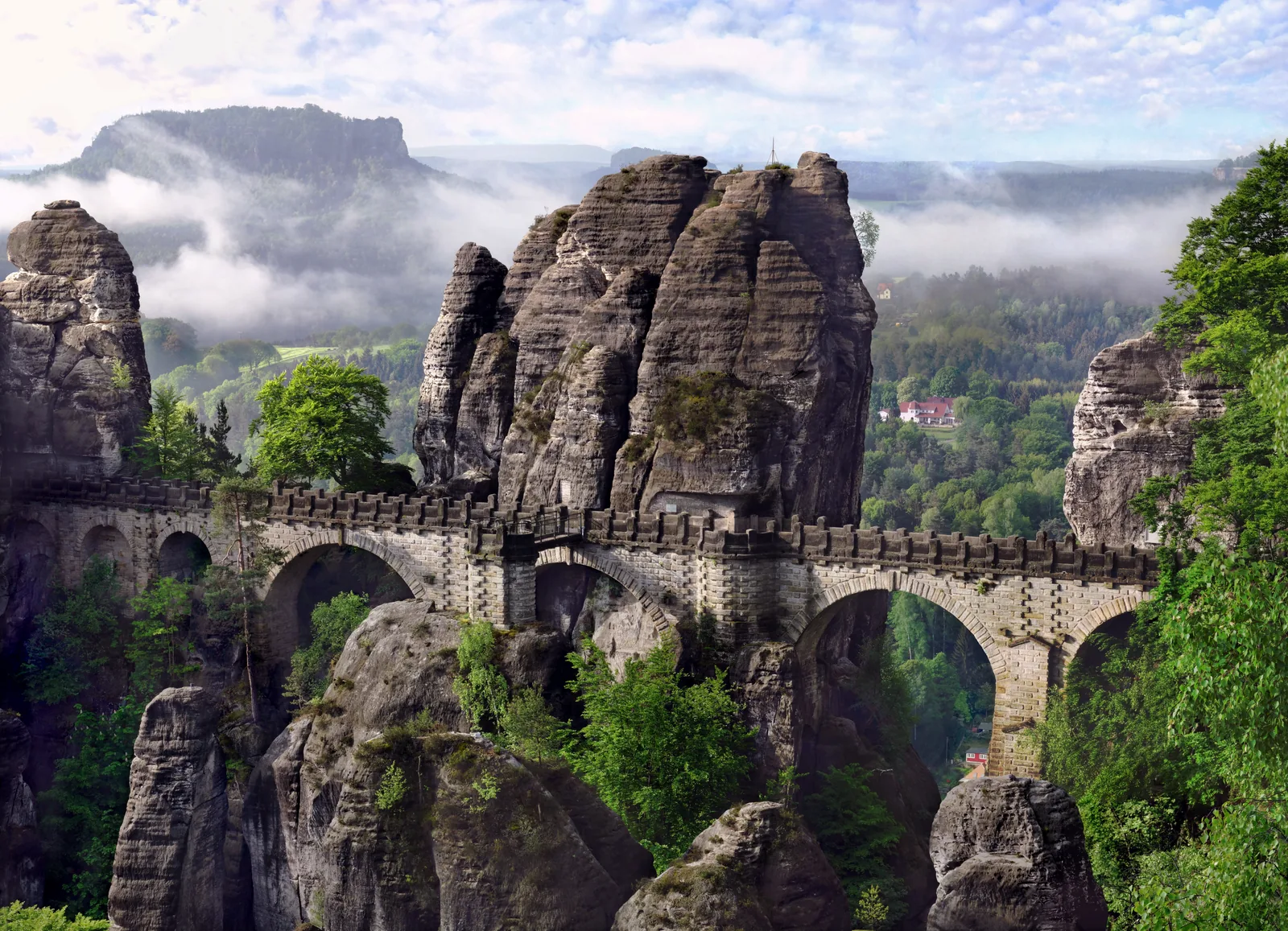
    The rock pulpit a few kilometres to the north, according to the authority one of the best-known natural monuments of Saxon Switzerland.

    Location source ↗
  • Bad Schandau National park station

    The region's international EuroCity stop. The S1 runs from here to Dresden every 30 minutes.

    Location source ↗
  1. National park authority: destinations and sights ↗
  2. National park authority: Lilienstein family nature trail ↗
  3. National park authority: getting there and getting around ↗
  4. National park authority: trail service with all closures ↗
  5. National park authority: hiking safely ↗
  6. OpenStreetMap: boundary of Saxon Switzerland National Park ↗
  7. Saxon Switzerland National Park: tour "To the landmark of Saxon Switzerland National Park: the Lilienstein" in the park authority's Komoot collection (retrieved on 3 Oct 2026) ↗

How current is this information?

Researched 20 Sep 2026. Not a live status. Prices, timetables and opening hours change; please check with the operator before you travel.

Current information from the operator ↗

Image and map credits

Location sources: every point on the map links to the OpenStreetMap object its coordinate comes from. Markers do not imply that access is permitted.

End of the field book · Park authority ↗