Ad · partner links: we may earn a commission if you book – at no extra cost to you. Thank you for supporting the atlas. Offer details checked 27 Sep 2026; dates and prices with the provider.
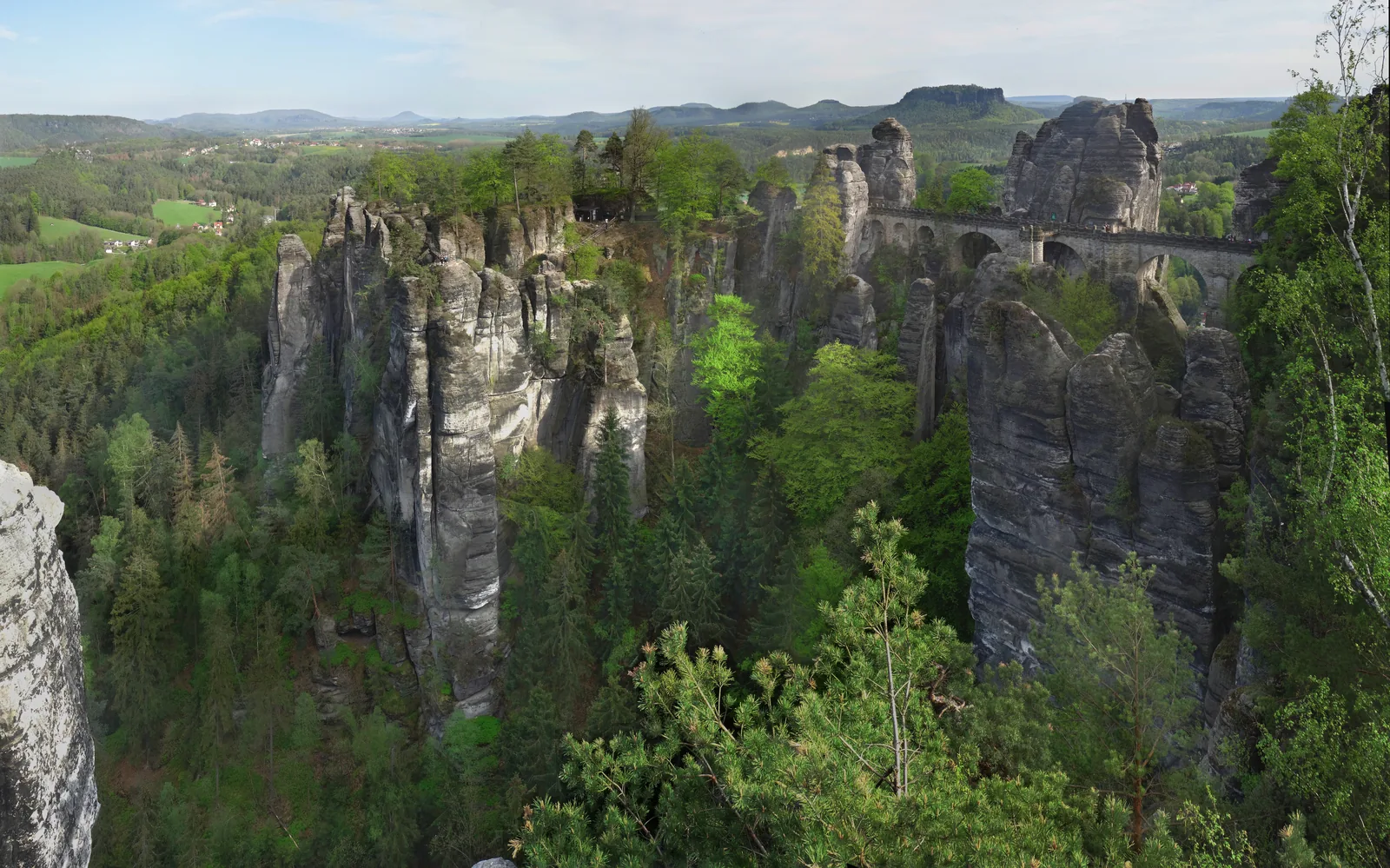
According to the park authority one of the best-known natural monuments of Saxon Switzerland, linked by the Bastei Bridge. Access from Kurort Rathen or from the Bastei car park.
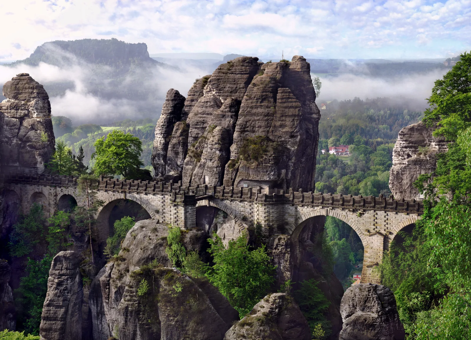
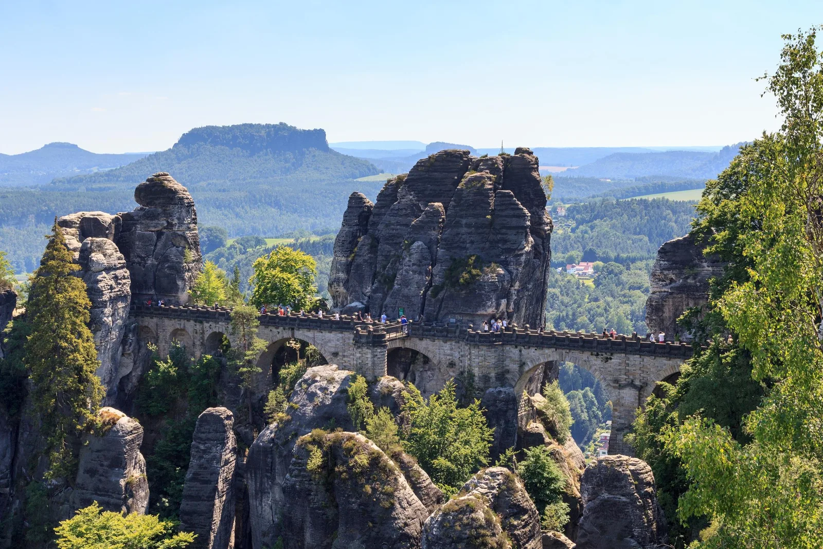
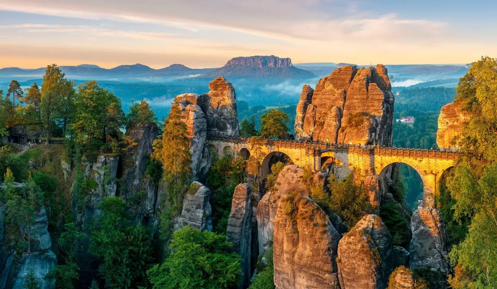
One of the best-known natural monuments of Saxon Switzerland: a group of rocks above the Elbe, linked by a stone bridge since 1851.
Location
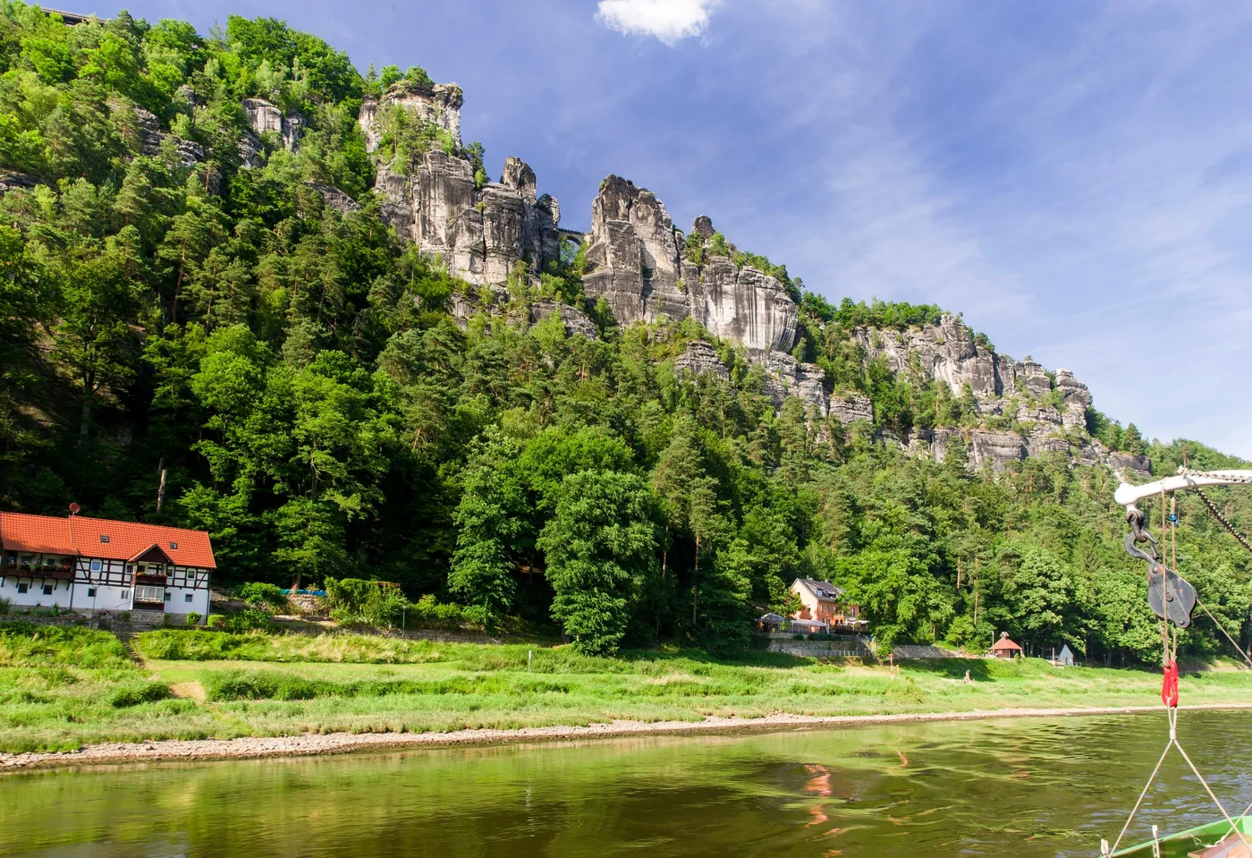
High above the Elbe near Lohmen and Kurort Rathen.
Protection
The Bastei area became a nature reserve in 1938 and is now part of the national park.
Access
On foot from Kurort Rathen or from the Bastei car park.
Without a car
S-Bahn to Kurort Rathen, then the Elbe ferry.
By car
Bastei park-and-ride car park, with a shuttle bus every 30 minutes.
Rule
Stay on the trails; swimming and drones are prohibited.
Own page
Bastei Bridge
A rock pulpit at 305 metres (1,001 ft), 194 metres (636 ft) above the Elbe: free, always open, and that is exactly why it gets busy.
Bastei shuttle bus between the Rathewalde P+R and the Bastei
Best time to visit: open all year, seasonal sleeping rules
To the Bastei: train, ferry or shuttle bus
According to the park authority, the Bastei is one of the best-known natural monuments of Saxon Switzerland and very easy to reach by public transport: by S-Bahn to Kurort Rathen, then by ferry across the Elbe. If you come by car, it recommends the Bastei park-and-ride car park; a shuttle bus runs from there every 30 minutes.
One of the best-known natural monuments of Saxon Switzerland: a group of rocks high above the Elbe, linked by the Bastei Bridge. The Bastei area became a nature reserve in 1938 and is now part of the national park.
Fissured rock ridge above Bad Schandau. The way up leads over iron stairways and ladders and requires sure footing.
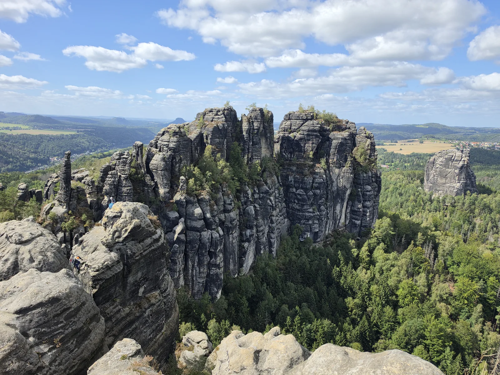
A long, deeply fissured group of rocks east of Bad Schandau, directly above the Elbe valley.
Location
Above Bad Schandau in the rear section of the park.
Access
Over iron stairways and ladders; sure footing needed.
Markings
Mountain paths carry a green triangle on a grey background.
Not suitable
For pushchairs and wheelchairs.
Getting there
S-Bahn to Bad Schandau, then hiking bus or on foot.
Climb
About 350 metres (1,150 ft) of ascent from Bad Schandau.
Hikes & routes: trails, rocks and viewpoints
The Schrammsteine
A long, deeply fissured group of rocks east of Bad Schandau, directly above the Elbe valley. The way up leads over steep ladders and steps and requires sure footing.
One of the most striking mountains in the national park. The park authority runs a family nature trail here.
The table mountain in the middle of the national park: according to the park authority the only one on the right bank of the Elbe, and the park's logo.
Location
High above the Elbe valley, opposite Königstein Fortress.
Height
415 metres (1,362 ft).
View
Several viewpoints over the Elbe valley and an inn on the plateau.
Access
Southern ascent with steps from 1708, northern ascent since 1900.
Getting there
S-Bahn to Königstein, ferry to Halbestadt; or bus 253 to Waltersdorf.
Rule
Stay on the trails; climbing only on approved summits.
Hikes & routes: trails, rocks and viewpoints
Lilienstein with children
A family nature trail of the park authority leads around and up the Lilienstein: 4.3 kilometres (2.7 mi) from the Sellnitz education centre, eight stations with audio files, designed for children aged 5 to 11.
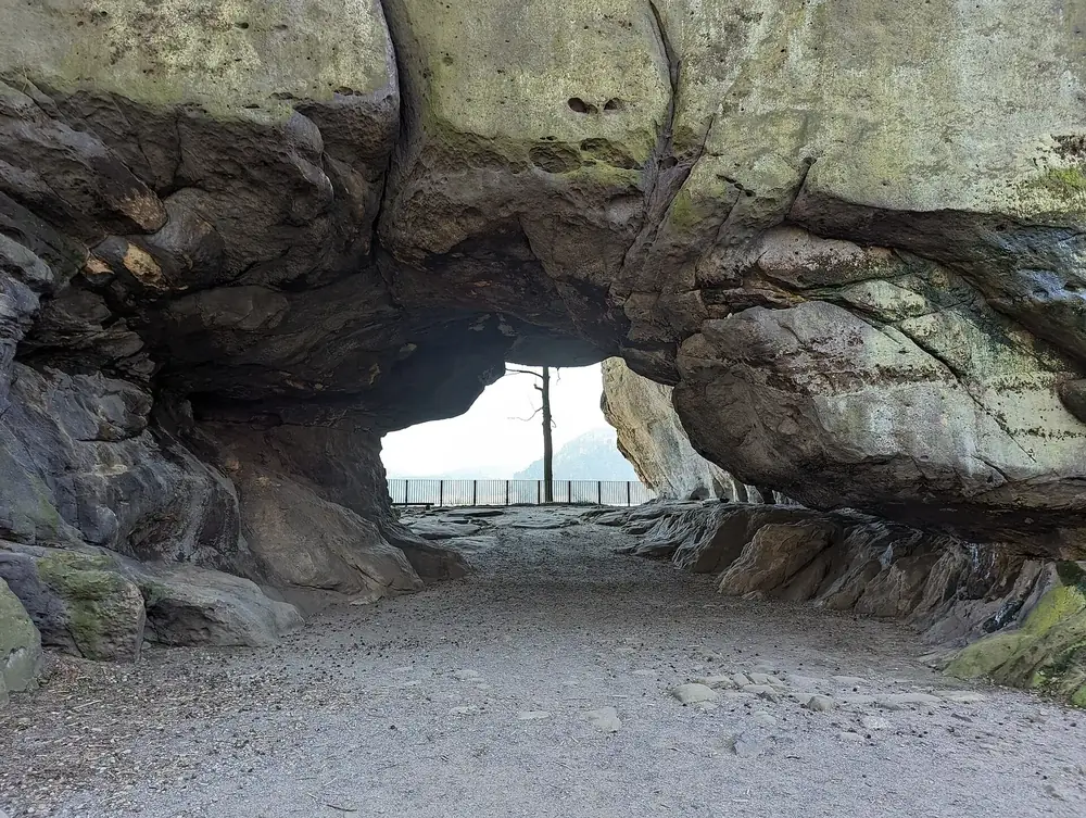
A massive rock arch, 11 metres (36 ft) high and 17 metres (56 ft) wide, on the Neuer Wildenstein in the upper Kirnitzsch valley. One way there is the Kirnitzschtal tram from Bad Schandau to the Lichtenhain Waterfall.
Best time to visit: open all year, seasonal sleeping rules
The Kirnitzschtal tram, running since 1898
The only tram line in the national park has run since 1898 from Bad Schandau through the Kirnitzsch valley to the Lichtenhain Waterfall; every stop is a trailhead, for example for the Schrammsteine or the Kuhstall.
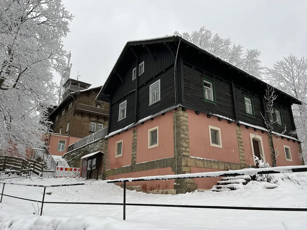
At 556 metres (1,824 ft) the highest mountain in the national park, close to the Czech border. On the summit, the historic ice house holds a park information point.
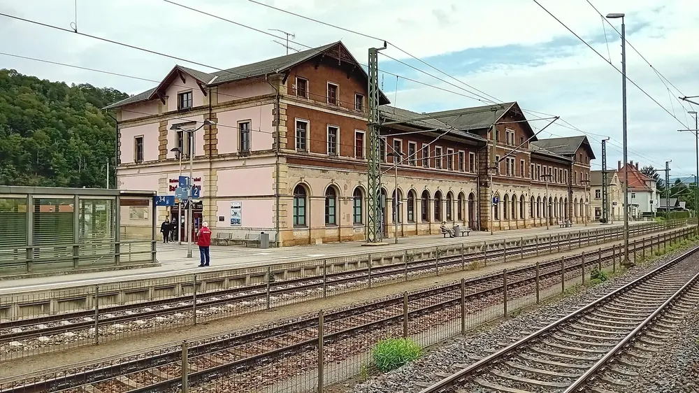
International EuroCity stop with direct trains from Berlin, Prague, Vienna and Budapest. From Dresden, the S1 runs every 30 minutes.
Visiting Saxon Switzerland National Park: overview
Come by train, not by car
The park authority explicitly recommends public transport, because the hikers' car parks in the national park region fill up quickly. From Dresden, the S1 runs every 30 minutes.
Bad Schandau national park station is a EuroCity stop with direct trains from Berlin, Leipzig, Freiburg, Prague, Brussels, Budapest, Graz and Vienna. From Dresden, the S1 runs every 30 minutes.
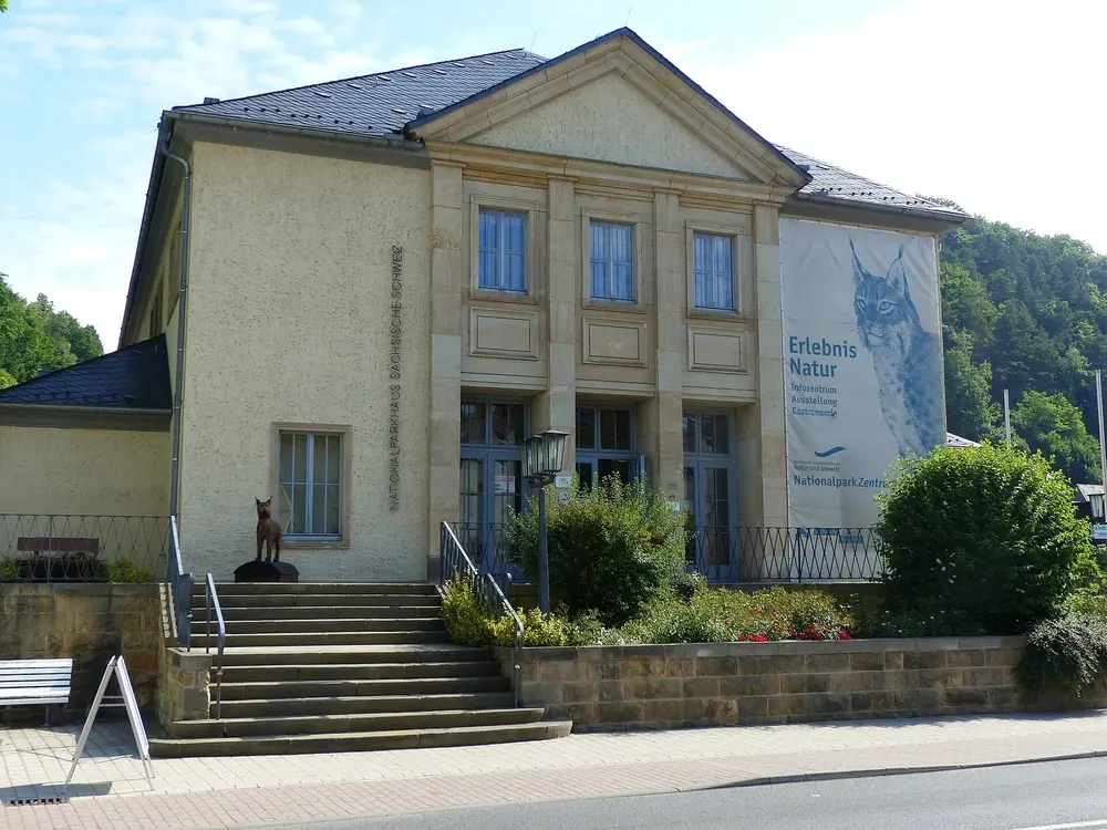
Exhibition of the park authority at Dresdner Straße 2b in Bad Schandau. Opening hours and admission vary by season.
Tickets & entrance fees: the park is free, parking is not
National Park Centre in Bad Schandau
The park authority's exhibition in Bad Schandau is the place to start. From April to October it is open daily from 9:00 to 17:00, in February and March Tuesday to Friday. Admission is €4 for adults, €3 reduced and €8.50 for families; special exhibitions are free.
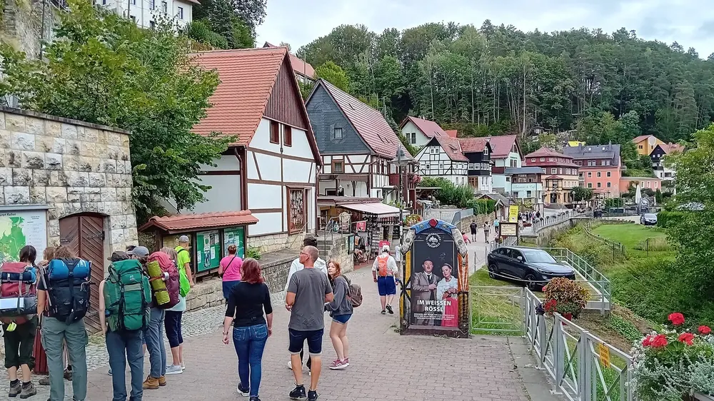
Car-free village on the Elbe, reached by S-Bahn and ferry. The classic starting point for the Bastei.
How to get there: S-Bahn, ferries and tram
Ferries across the Elbe
The park authority lists eight ferry crossings over the Elbe, and seven Elbe ferries elsewhere on the same page. In addition, a hikers' boat runs four times a day from Bad Schandau to Schmilka and on to Hřensko.
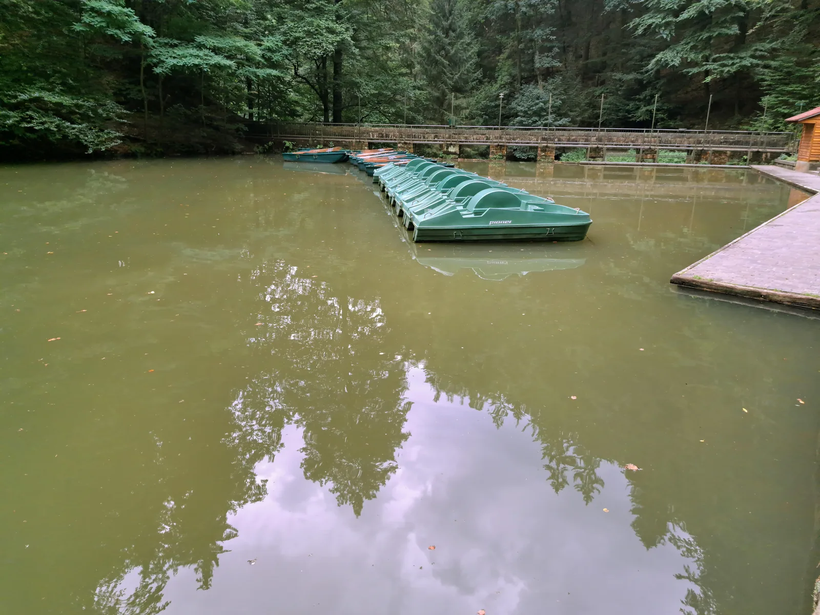
Reservoir in the Amselgrund valley above Rathen. After the storm of 31 July 2026, the lake and the Amselgrund from Rathen to the Schwedenlöcher junction are still closed, according to the park authority.
A reservoir from 1934 in the Amselgrund valley above Rathen; swimming is prohibited in the national park.
Currently
Closed after the storm of 31 July 2026 according to the park authority, as is the Amselgrund from Rathen to the Schwedenlöcher junction.
Location
In the Amselgrund valley above Rathen.
Created
In 1934 by damming the Grünbach stream.
Circular walk
1.1 kilometres (0.7 mi), about 20 minutes.
Boats
April to October, from €6.50 for 30 minutes.
Swimming
Prohibited in the national park, for people and animals.
Getting there
Park in Oberrathen, then take the ferry.
Own page
Bastei Bridge
A rock pulpit at 305 metres (1,001 ft), 194 metres (636 ft) above the Elbe: free, always open, and that is exactly why it gets busy.
Visiting Saxon Switzerland National Park: overview
Storm damage between the Bastei and Rathen
A local storm on 31 July 2026 hit about 25 hectares of forest between the Bastei, Rathen and Hohnstein, and around 12,000 trees came down. According to the park authority (as of 27 Aug 2026), the Bastei trail, the Bastei Bridge and the Schwedenlöcher gorge are open again; the Amselgrund valley from Rathen to the Schwedenlöcher junction, including Lake Amselsee, remains closed. Check the trail service before you set off.
National park village near the Czech border which, according to the park authority, is a good starting point for hikes thanks to its central location. A circular trail leads from here to the Obere Schleuse.
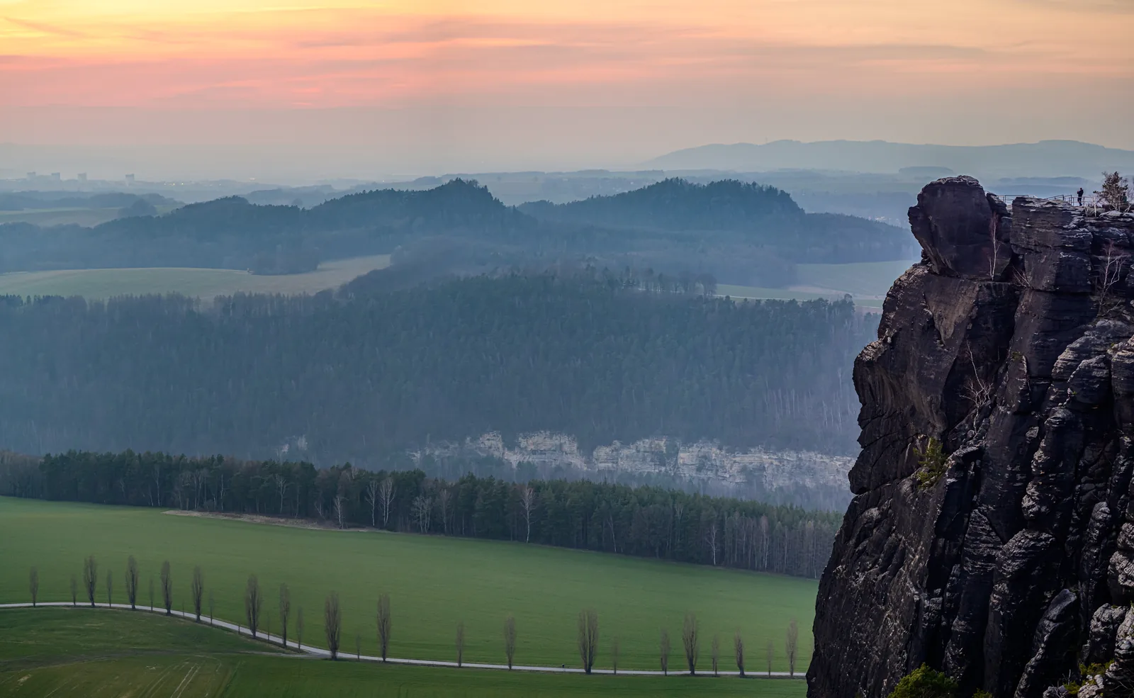
The "balcony of Saxon Switzerland", about 170 metres (558 ft) above the Polenz valley and roughly three kilometres from Hohnstein. The Brand log house holds a park information point.
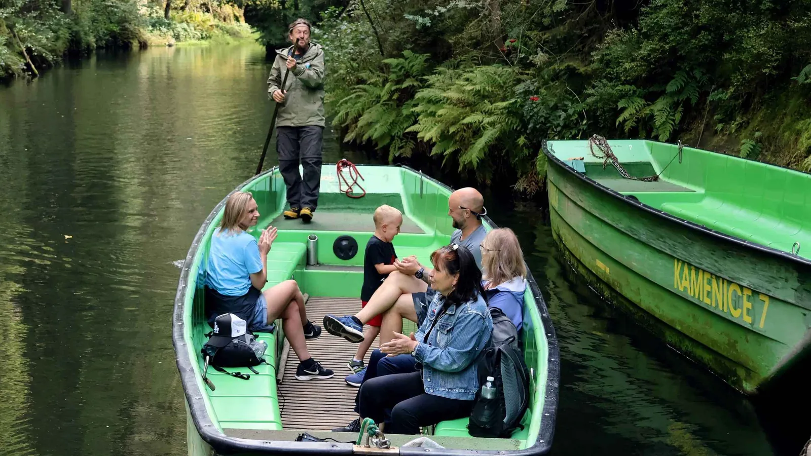
The weir from 1567 dams the Kirnitzsch river for 700 metres. The 20-minute boat trip through the Kirnitzsch gorge has run since 1879, according to the park authority from Easter to 31 October.
Pier of the Saxon paddle steamer company on the Elbe riverbank in Bad Schandau. According to the park authority's map, the Elbe belongs to the landscape protection area, not to the national park.
The largest medieval rock castle in the region. Closed until further notice since 1 September 2023 because of safety defects: visible from outside, not accessible.
Own page
Bastei Bridge
A rock pulpit at 305 metres (1,001 ft), 194 metres (636 ft) above the Elbe: free, always open, and that is exactly why it gets busy.
Overflow car park at the start of the Bastei road. In the summer season the Bastei shuttle bus runs from here every 30 minutes; on foot it is about 3.5 kilometres (2.2 mi).
Own page
Bastei Bridge
A rock pulpit at 305 metres (1,001 ft), 194 metres (636 ft) above the Elbe: free, always open, and that is exactly why it gets busy.
S-Bahn stop on the line from Dresden, on the left bank of the Elbe. From here the cable ferry crosses to Niederrathen, where the climb to the Bastei begins.
Own page
Bastei Bridge
A rock pulpit at 305 metres (1,001 ft), 194 metres (636 ft) above the Elbe: free, always open, and that is exactly why it gets busy.
The Bergland ferry crosses the Elbe without an engine, powered by the current alone. It runs Monday to Friday from 4:30 to 24:00, at weekends and on public holidays from 5:30.
Own page
Bastei Bridge
A rock pulpit at 305 metres (1,001 ft), 194 metres (636 ft) above the Elbe: free, always open, and that is exactly why it gets busy.