National Parks Atlas
Map

00 · England’s highest mountain · England · Lake District National Park

Scafell Pike

England’s highest mountain – no signposts, often in mist, and a war memorial since the First World War.

Paths & getting thereGetting there & parkingOpening times

View plan

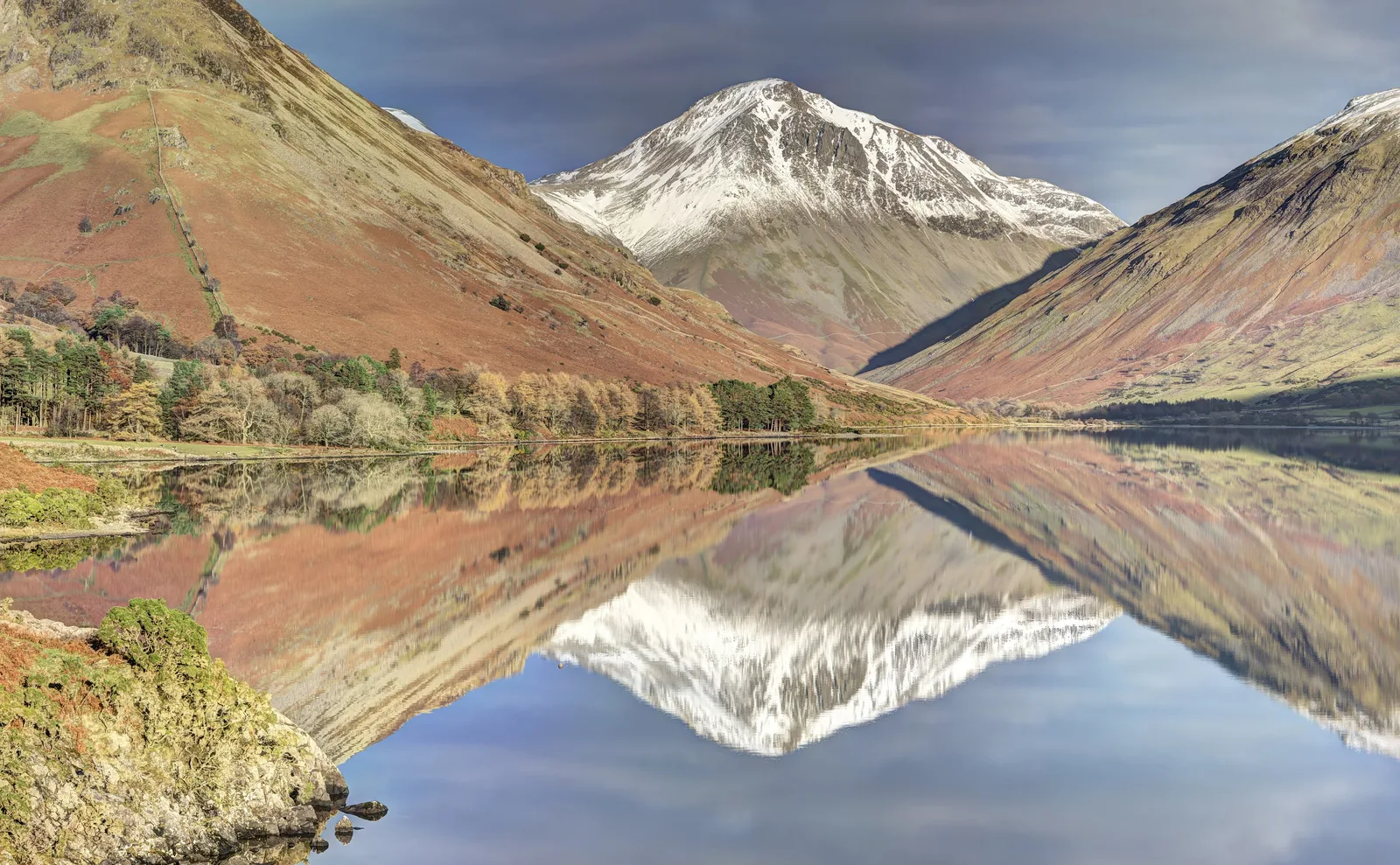
Photo: Graham Robson ↗ · CC BY-SA 2.0 ↗

978 m (3,209 ft)Height

England’s highest mountain

5.6 km (3.5 mi)From Wasdale Head

about 5 hours, shortest route

up to £10Parking at Lake Head

all day, bring coins

Scafell Pike: England’s highest mountain

About 250,000 people a year – on paths without a single signpost.

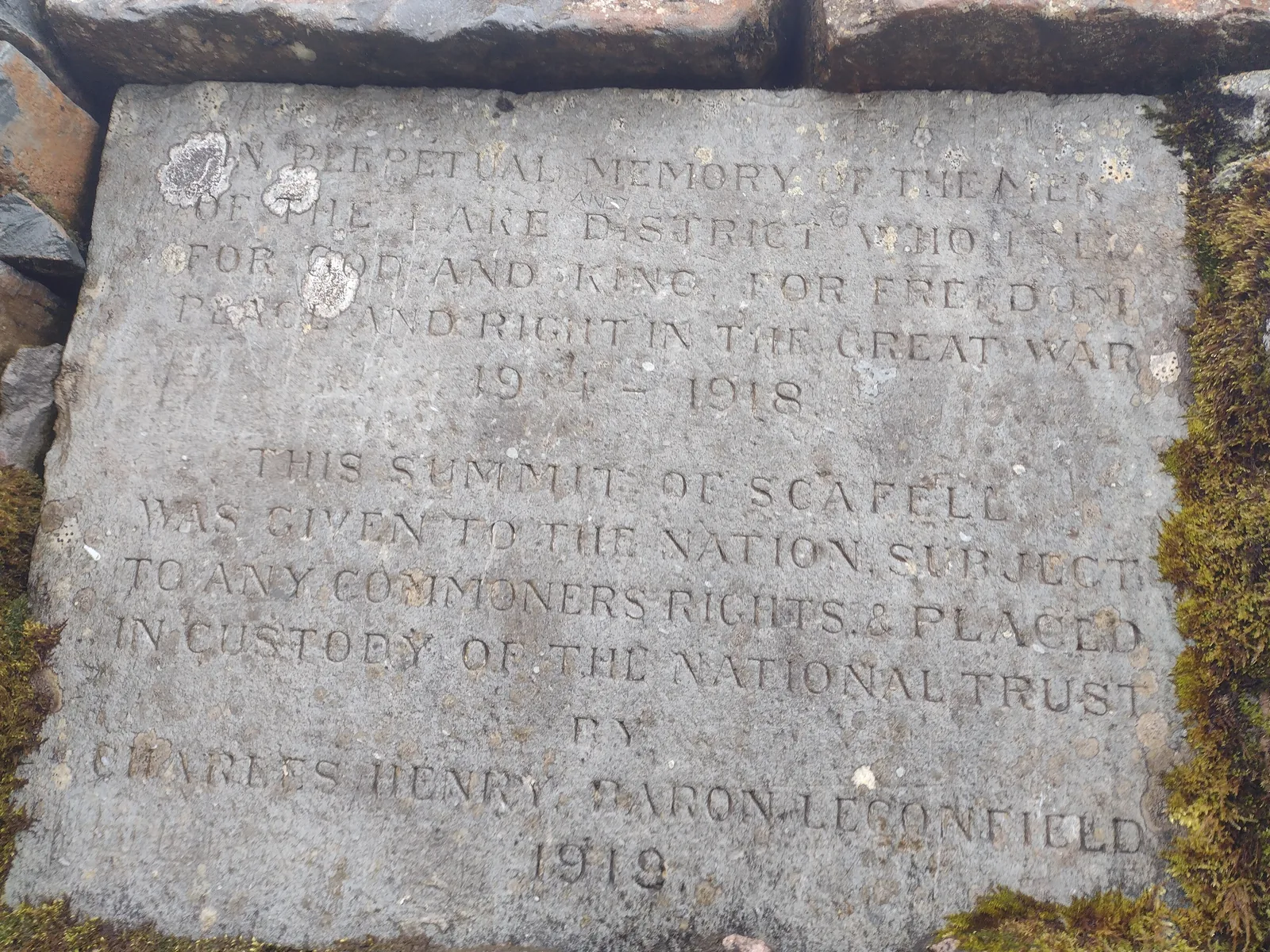
At 978 metres (3,209 ft) Scafell Pike is England’s highest mountain. It stands in the west of the Lake District National Park above the Wasdale valley and Wast Water. According to the National Trust about 250,000 people climb it every year; the summit plateau and cairn are a memorial to those who fell in the First World War.

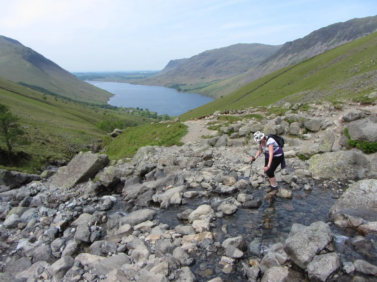
The shortest route starts at Lake Head car park near Wasdale Head. Longer routes come up from Borrowdale and Great Langdale. All of them are steep and rocky, and above the valleys there are no signposts or waymarks.

There is no entrance fee for the mountain. You pay for parking; in 2026 the Wasdale Explorer summer bus ran only at weekends until the end of August.

National Trust: Climbing Scafell Pike (preparation, visitor numbers, dogs; the “Scafell Pike Map Leaflet” is linked there) ↗

In numbers

Height
978 m (3,209 ft)
Second-highest summit
Scafell, 964 m (3,163 ft)
Visitors
about 250,000 a year
Route from Wasdale
5.6 km (3.5 mi)
Time from Wasdale
about 5 hours
From Borrowdale or Langdale
7 hours or more
Calls to mountain rescue
over 600 a year in the Lake District
Parking at Lake Head
£7 to £10

To the Lake District park profile

01 · Plan

Paths & getting there

A narrow valley road, few parking spaces and a summer bus.

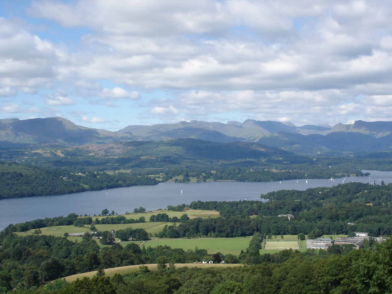
Photo: Anthony Foster ↗ · CC BY-SA 2.0 ↗

How to get to Wasdale

A narrow valley road, few parking spaces and a summer bus.

Wasdale Explorer

In 2026 the bus ran from 2 May to 31 August at weekends and on bank holidays, from Ravenglass via Gosforth and Nether Wasdale to Wasdale Head, for £3 a day. The 2026 season is over; the National Park Authority is planning the next one with the Wasdale Action Group.

LDNPA: Wasdale Explorer (2026 season, fare, route) ↗

Price list

checked 8 Oct 2026

Costs: the mountain is free, parking is not

What costs money at Scafell Pike.

Parking and bus in Wasdale
ItemFare
Lake Head car park (National Trust), up to 2 / up to 4 hours / all day7 £ / 8,50 £ / 10 £
Overbeck car park (National Trust), up to 2 / up to 4 hours / all day7 £ / 8 £ / 9,50 £
Nether Wasdale car park (National Trust)donation
Wasdale Explorer, adult day ticket (children free), 2026 season3 £

Parking charges according to the National Trust; they apply at all times and members park free. Mobile signal is weak, so card or phone payment does not work everywhere: bring coins; JustPark works at some car parks. Overnight parking is not allowed. Bus fare according to the National Park Authority; the 2026 season is over. National Trust: Car parks in Wasdale (charges, locations, no overnight parking) ↗

Lake Head £7 to £10

Up to 2 hours £7, up to 4 hours £8.50, all day £10. With about 5 hours for the route, the 4-hour rate is not enough. National Trust members park free.

National Trust: Car parks in Wasdale (charges, locations, no overnight parking) ↗

Bring coins

Mobile signal is weak, so not every car park in Wasdale takes card or phone payment. If you use JustPark, download the app before you go.

National Trust: Car parks in Wasdale (charges, locations, no overnight parking) ↗

No overnight parking

Overnight parking is not allowed in the National Trust car parks in Wasdale. Motorhomes are welcome at Wasdale campsite, which is open all year.

National Trust: Car parks in Wasdale (charges, locations, no overnight parking) ↗

Three routes up Scafell Pike

Scafell Pike routes: from Wasdale Head, Borrowdale or Great Langdale

According to the National Trust and Wasdale Mountain Rescue.

Wasdale Head

via Hollow Stones

Distance
5.6 km (3.5 mi)
Duration
about 5 hours
Start
Lake Head car park

Borrowdale

Corridor Route via Styhead Tarn

Duration
7 hours or more
Start
Seathwaite, parking at Seatoller
Terrain
rock steps, harder route finding

Great Langdale

from Old Dungeon Ghyll

Duration
7 hours or more
Length
much longer than from Wasdale
Terrain
rough, map reading essential

Neither the National Trust nor the National Park Authority gives distance or ascent for the routes from Borrowdale and Langdale; the times come from Wasdale Mountain Rescue. Wasdale Mountain Rescue: The easiest way up Scafell Pike (routes, times, descent) ↗ · National Trust: Scafell Pike via Hollow Stones route (route from Lake Head) ↗

Best time to visit: with a plan and a forecast

Sun in the valley does not mean sun on the summit.

02 · On site

Hikes & routes: the path from Wasdale Head

The shortest and most straightforward route, as described by the National Trust.

Photo: Michael Graham ↗ · CC BY-SA 2.0 ↗

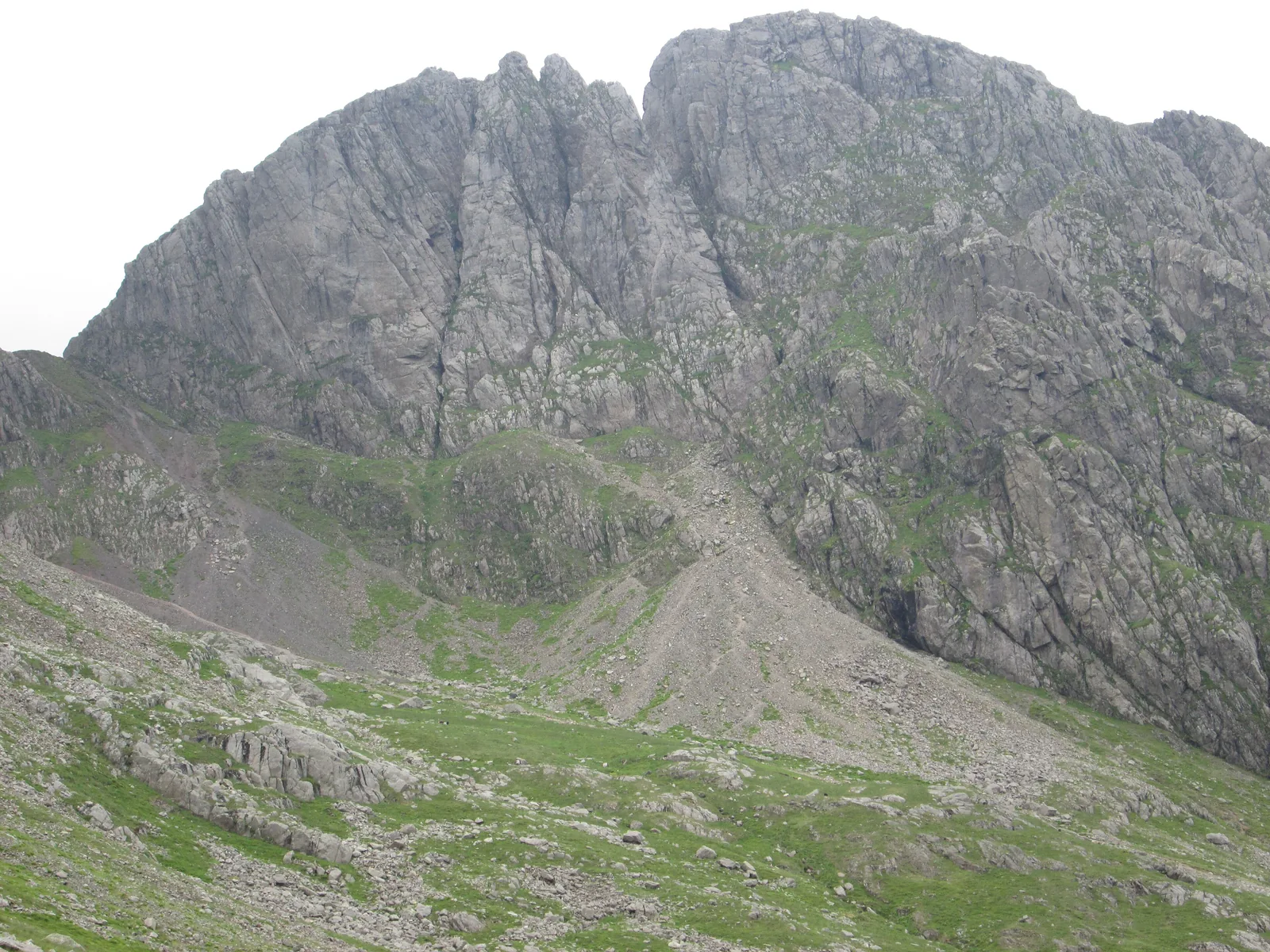
“About 250,000 a year – and above the valley not a single signpost.”

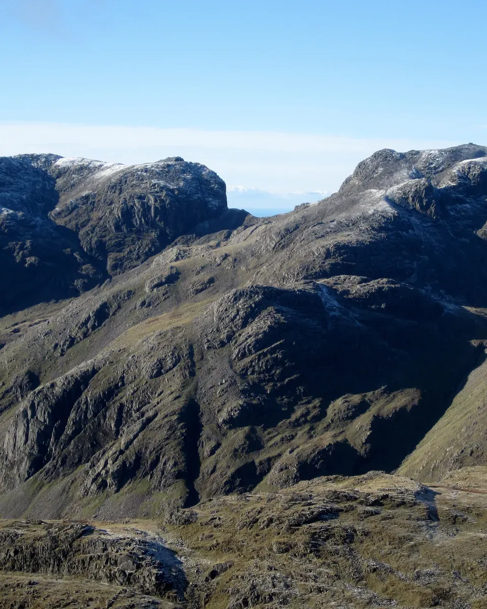
Scafell Pike · seen from Crinkle Crags

Hikes & routes: the path from Wasdale Head

The shortest and most straightforward route, as described by the National Trust.

Film by the park authority

Winter walking in the Lake District: weather wise

A minute and a half from the National Park Authority’s channel, published in 2022: walkers share how they prepare for the weather on the fells in winter. In English.

Source: Lake District National Park Authority · View channel ↗

03 · Nearby

Onward from here

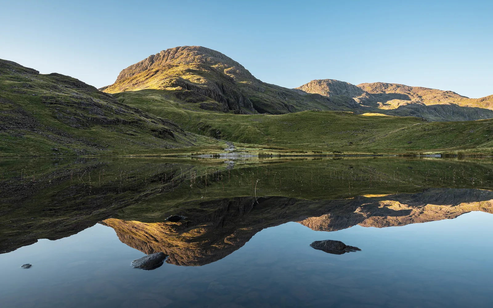
Scafell Pike is part of the Lake District National Park. Lakes, other fells, rules and travel are covered in the park profile.

Photo: Graham Robson ↗ · CC BY-SA 2.0 ↗

Map

Scafell Pike on the terrain map

Nine points along the three routes, each matched to an OpenStreetMap object and checked against the park boundary. All points are on the Lake District National Park map, with details and photos.

Show on mapLake District National Park map · 3D terrain

Field book · Scafell Pike

checked 8 Oct 2026

01Good to know: mist, emergencies, Three Peaks

Advice from the National Trust, the National Park Authority and mountain rescue.

In mist, use a compass

In mist the summit plateau is easy to get wrong. For the descent to Wasdale the National Trust gives a bearing of 310 degrees from the trig point for 100 metres, then 290 degrees following the cairns.

National Trust: Scafell Pike via Hollow Stones route (route from Lake Head) ↗

Stay away from Piers Gill

According to the National Park Authority, mountain rescue is called out more and more often to preventable incidents on the Scafell range, especially to the Piers Gill ravine below the Corridor Route.

LDNPA: Scafell Pike (rescue call-outs, three questions before you set off, maps) ↗

Mickledore: right for Wasdale

At the Mickledore col there is a box with a mountain rescue stretcher. Facing the crag from there, Wasdale is down to the right and Eskdale to the left. The descent to Eskdale takes hours.

Wasdale Mountain Rescue: The easiest way up Scafell Pike (routes, times, descent) ↗

Emergency: call 999

In an emergency call 999 and ask for the police and then mountain rescue. Do not rely on your phone alone: map, compass, whistle and torch belong in your rucksack.

National Trust: Climbing Scafell Pike (preparation, visitor numbers, dogs; the “Scafell Pike Map Leaflet” is linked there) ↗

Three Peaks Challenge

On the challenge Scafell Pike is usually climbed at night. According to Wasdale Mountain Rescue, most people who call for help during it are lost; local people are concerned about litter, parking and path erosion.

Wasdale Mountain Rescue: The National Three Peaks ↗

Keep the noise down

The National Trust asks for quiet on the path from Lake Head so as not to disturb the residents of the Brackenclose climbing hut and the campsite.

National Trust: Climbing Scafell Pike (preparation, visitor numbers, dogs; the “Scafell Pike Map Leaflet” is linked there) ↗

02Scafell Pike: frequently asked questions

Short answers, with sources.

How high is Scafell Pike?

978 metres (3,209 ft). It is England’s highest mountain; neighbouring Scafell is 964 metres (3,163 ft).

LDNPA: Facts and figures (978 m, Scafell 964 m) ↗

What is the shortest route up Scafell Pike?

The route via Hollow Stones from Lake Head car park near Wasdale Head: 5.6 km (3.5 mi) and about 5 hours according to the National Trust. Wasdale Mountain Rescue advises allowing at least 5 to 6 hours even in good weather.

National Trust: Scafell Pike via Hollow Stones route (route from Lake Head) ↗

How long does the climb take from Borrowdale or Langdale?

Most of the day, 7 hours or more, according to Wasdale Mountain Rescue. The routes are long and rough and need confident map reading.

Wasdale Mountain Rescue: The easiest way up Scafell Pike (routes, times, descent) ↗

How much is parking for Scafell Pike?

At Lake Head car park in Wasdale £7 up to 2 hours, £8.50 up to 4 hours and £10 for the whole day. Bring coins: card and phone payment does not work everywhere because of the weak signal.

National Trust: Car parks in Wasdale (charges, locations, no overnight parking) ↗

Is the path up Scafell Pike signposted?

No. Paths in the Lake District are neither waymarked nor signposted. You need to bring a detailed map and a compass and know how to use them.

Wasdale Mountain Rescue: The easiest way up Scafell Pike (routes, times, descent) ↗

Can I take my dog up Scafell Pike?

Yes, if it is used to long days on the fells. Keep it on a lead where sheep are grazing and in the car parks.

National Trust: Climbing Scafell Pike (preparation, visitor numbers, dogs; the “Scafell Pike Map Leaflet” is linked there) ↗

03Sources and last checked

Operator, municipality and park authority, each fact cited individually.

Places on the map

  • Scafell Pike Summit, 978 m (3,209 ft)

    Cairn with memorial plaque; in mist the plateau is easy to get wrong.

    Location source ↗
  • Lake Head Car Park National Trust car park, start of the shortest route

    With toilets and a welcome point; you can borrow maps, compasses and whistles here free of charge.

    Location source ↗
  • Wasdale Head Hamlet at the head of Wast Water

    Pub, St Olaf’s church; last stop of the Wasdale Explorer.

    Location source ↗
  • Hollow Stones Boulder field on the route from Wasdale

    According to the National Trust, keep left at the fork.

    Location source ↗
  • Lingmell Col Col, key junction on the way down

    On the descent head north-west here towards Wasdale, otherwise you risk ending up on the steep ground above Piers Gill.

    Location source ↗
  • Mickledore Col between Scafell Pike and Scafell

    With a box holding a mountain rescue stretcher. Descend to Eskdale from here and, according to mountain rescue, you still have hours to go.

    Location source ↗
  • Styhead Tarn Mountain tarn on the route from Borrowdale

    The Corridor Route leads from Sty Head to the summit.

    Location source ↗
  • Seathwaite Hamlet in Borrowdale where the road ends

    According to the National Trust the wettest inhabited place in England; the paths to Scafell Pike start here.

    Location source ↗
  • Old Dungeon Ghyll Car park in Great Langdale

    Starting point for the long routes to Scafell Pike.

    Location source ↗
  1. LDNPA: Scafell Pike (rescue call-outs, three questions before you set off, maps) ↗
  2. LDNPA: Facts and figures (978 m, Scafell 964 m) ↗
  3. LDNPA: Explore Wasdale, Wastwater and West Coast ↗
  4. LDNPA: Wasdale Explorer (2026 season, fare, route) ↗
  5. LDNPA: Lake District weather (Weatherline, Fell Top Assessors) ↗
  6. National Trust: Climbing Scafell Pike (preparation, visitor numbers, dogs; the “Scafell Pike Map Leaflet” is linked there) ↗
  7. National Trust: Scafell Pike via Hollow Stones route (route from Lake Head) ↗
  8. National Trust: Car parks in Wasdale (charges, locations, no overnight parking) ↗
  9. National Trust: Our work at Wasdale (summit cairn, war memorial, path repairs) ↗
  10. National Trust: Climbing Scafell Pike from Borrowdale (parking at Seatoller) ↗
  11. National Trust: Exploring Borrowdale (Seathwaite, paths to Scafell Pike) ↗
  12. National Trust: Countryside car parks in the Lake District (Old Dungeon Ghyll, Seatoller, Lake Head) ↗
  13. Wasdale Mountain Rescue: The easiest way up Scafell Pike (routes, times, descent) ↗
  14. Wasdale Mountain Rescue: The National Three Peaks ↗

How current is this information?

Researched 8 Oct 2026. Not a live status. Prices, timetables and opening hours change; please check with the operator before you travel.

Current information from the operator ↗

Image and map credits

Location sources: every point on the map links to the OpenStreetMap object its coordinate comes from. Markers do not imply that access is permitted.

End of the field book · Park authority ↗