National Parks Atlas
To the park
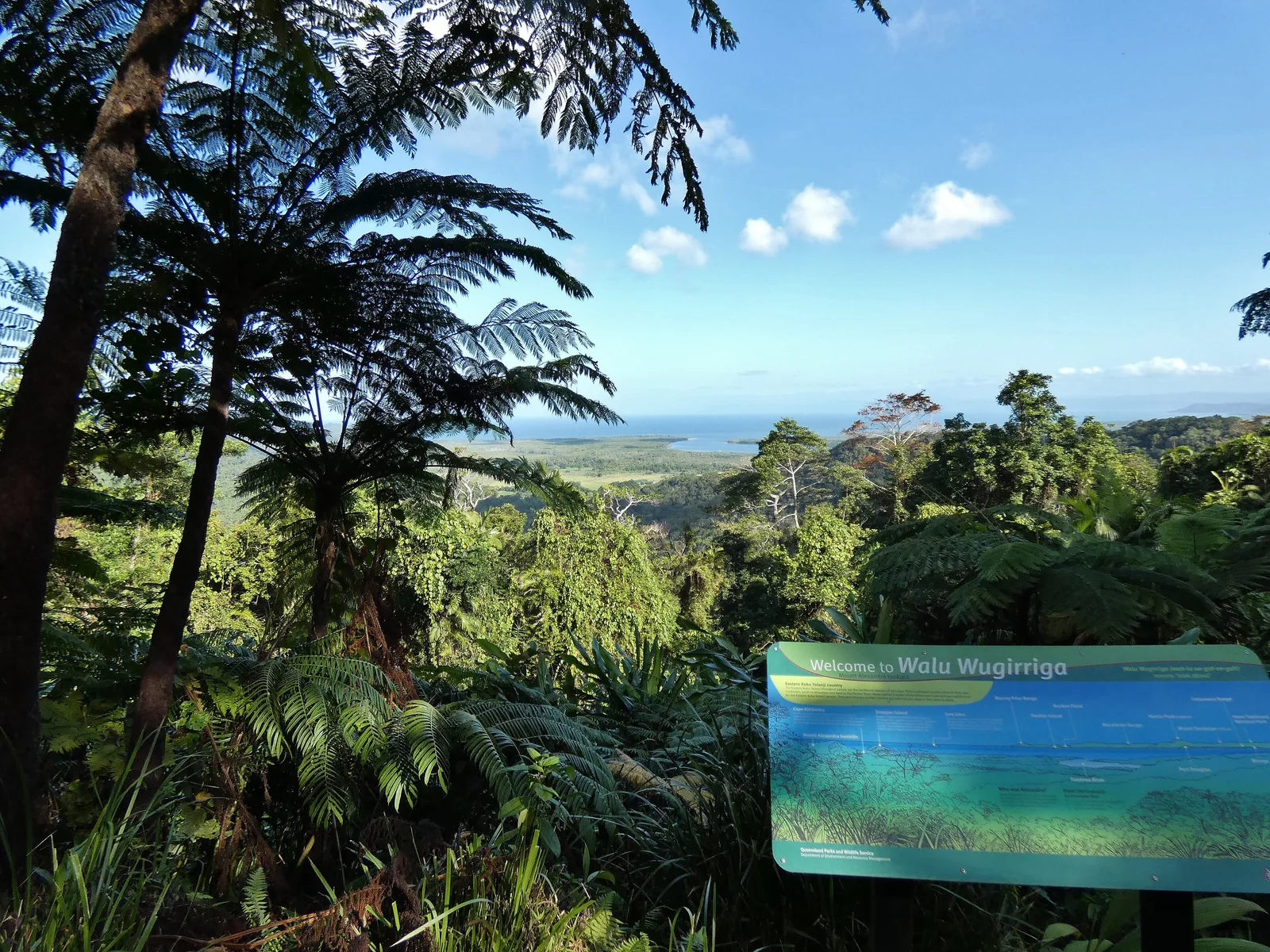
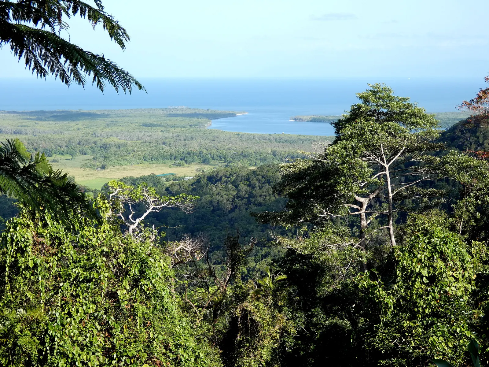
View from Walu Wugirriga (Mount Alexandra Lookout) in Daintree National Park across the rainforest to the mouth of the Daintree River and the Coral Sea

Daintree National Park: map

12 places with verified coordinates · 3 with photo

Bookable in the park · 5

Ad · partner links: we may earn a commission if you book – at no extra cost to you. Thank you for supporting the atlas. Offer details checked 8 Oct 2026; dates and prices with the provider.

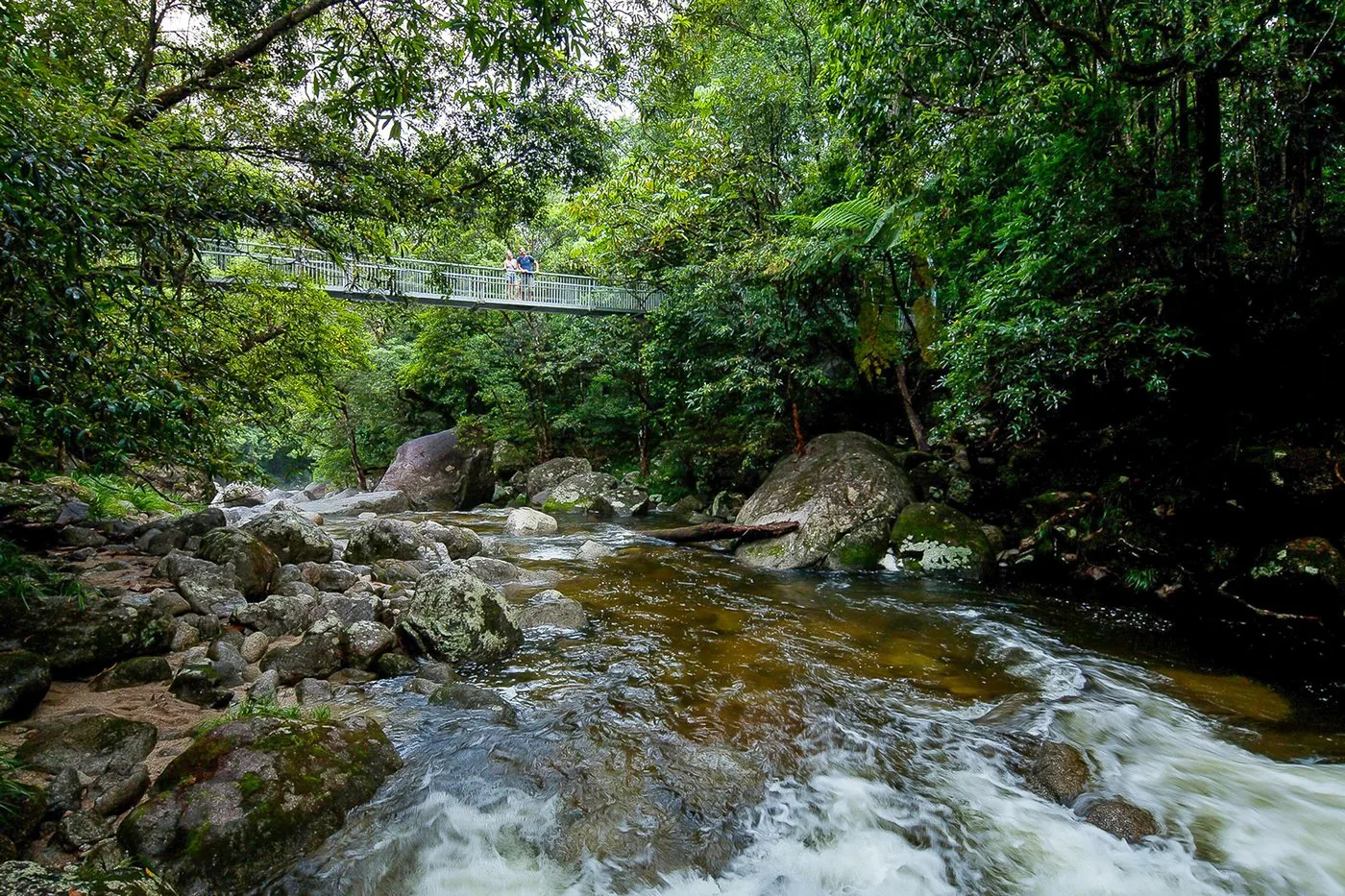
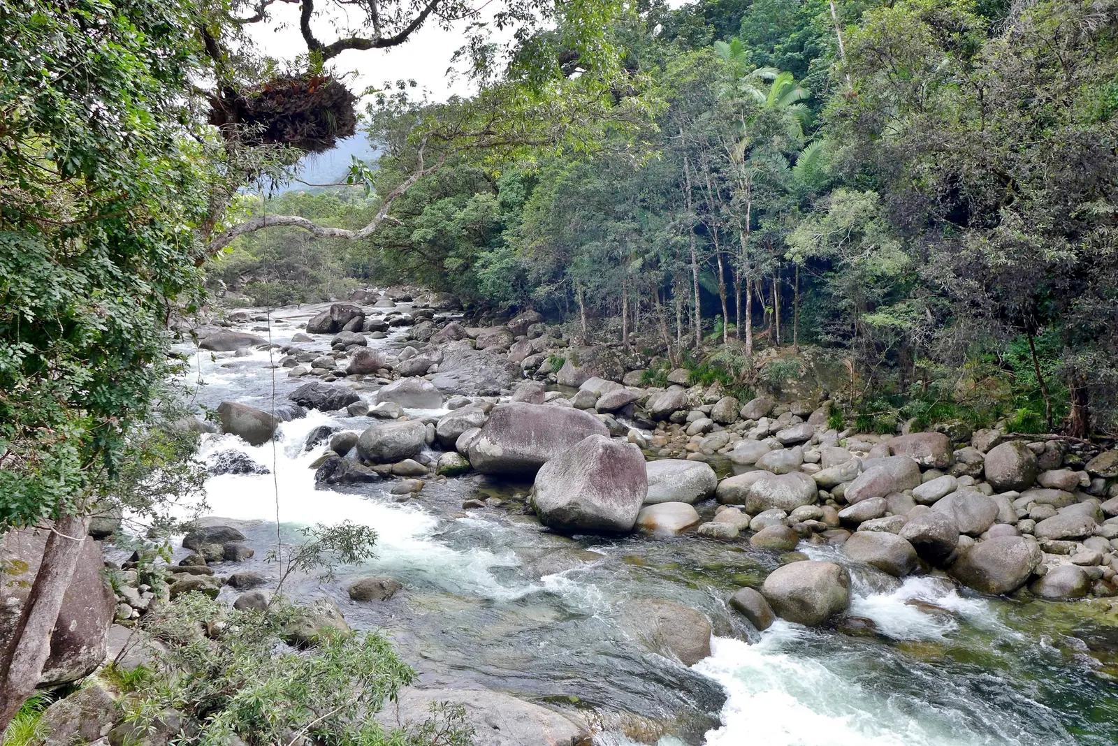
The Mossman River in Mossman Gorge in Daintree National Park flowing over a wide bed of rounded granite boulders, with tall rainforest on both banks
Photo: Bahnfrend ↗ · CC BY-SA 4.0 ↗

Arrival · Visitor centre, outside the park edge according to OpenStreetMap

Mossman Gorge Centre

Shuttle into the gorge, café, gallery, Dreamtime Walk bookings. Open 24 hours according to QPWS.

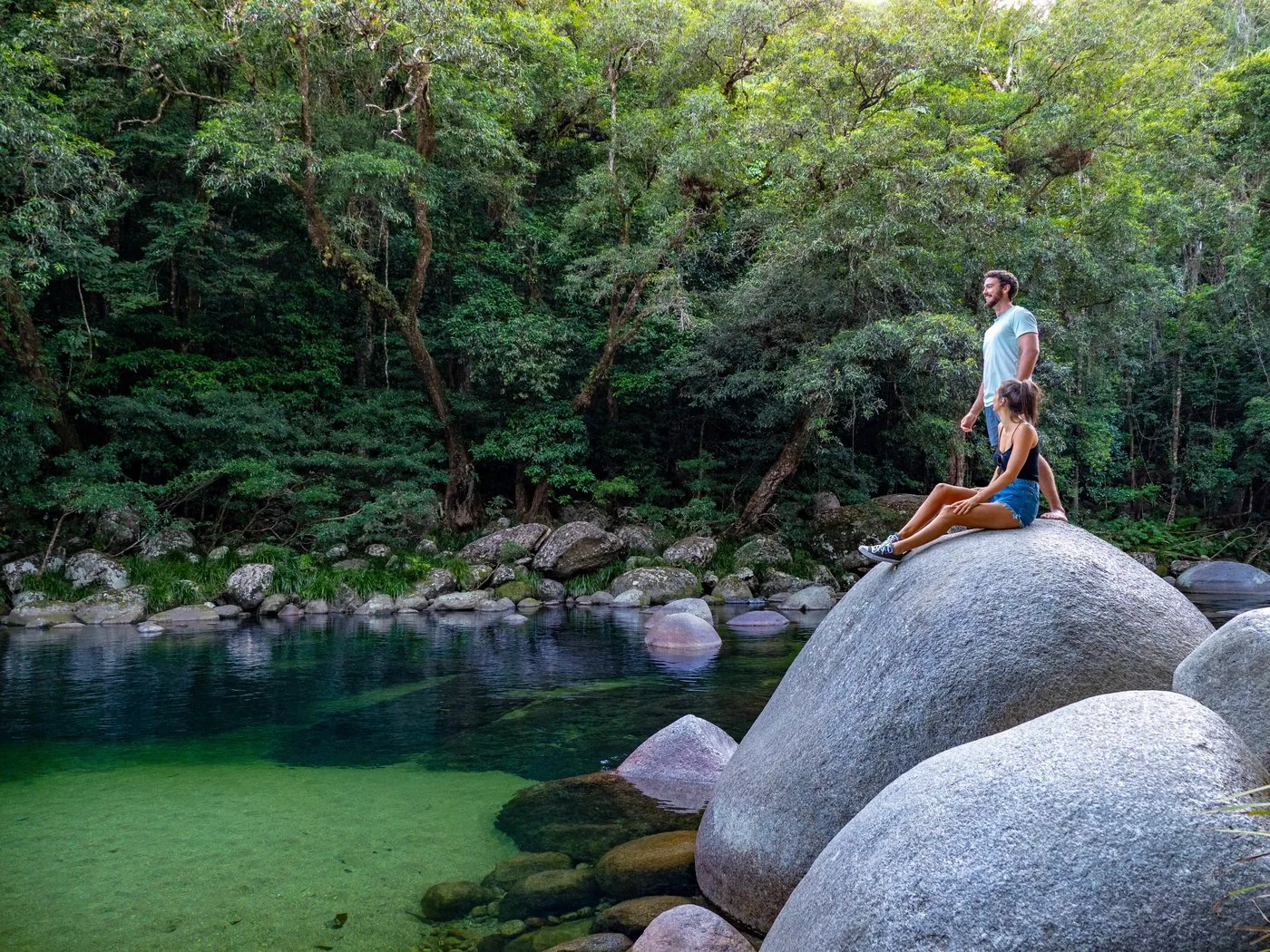
Clear water over granite boulders – 80 kilometres north of Cairns.

From Cairns
80 km
Shuttle
every 15 minutes
Adults
A$15.50
Walks
640 m to 3.4 km

Own page

Mossman Gorge

Clear water over granite boulders, rainforest above – and a shuttle as the only easy way in.

Shuttle & walks

Fees: the park is free, the shuttle and ferry cost

Mossman Gorge shuttle: A$15.50

From 1 April 2026 to 31 March 2027 the Mossman Gorge Cultural Centre shuttle costs A$15.50 for adults, A$7.75 for children aged 5 to 15, and A$38.75 for a family ticket; infants ride free. The ticket is valid for unlimited trips on the day of purchase.

Mossman Gorge Cultural Centre: Getting here and shuttle (prices 1 April 2026 – 31 March 2027) ↗

Getting there: 80 kilometres from Cairns to Mossman Gorge

From Cairns to Mossman Gorge

80 km (50 mi) north on the Captain Cook Highway, just before Mossman turn left into Johnston Road and drive 2 km to the Mossman Gorge Centre. From Port Douglas it takes about 22 minutes, according to the cultural centre.

QPWS: Getting there safely (shuttle, ferry, road) ↗

Guided from here · Ad

Partner links: we may earn a commission if you book – at no extra cost to you. Thank you for supporting the atlas. Dates and prices with the provider.

Open in OpenStreetMap ↗Location source ↗

-16.47422, 145.34834

Arrival · End of the shuttle, day-use area

Mossman Gorge shuttle stop

Toilets, picnic tables; all the gorge walks start here.

Own page

Mossman Gorge

Clear water over granite boulders, rainforest above – and a shuttle as the only easy way in.

Shuttle & walks

Getting there: 80 kilometres from Cairns to Mossman Gorge

Shuttle into the gorge

From the cultural centre a shuttle runs 2 km into the park every 15 minutes. The park authority gives 8:00 to 17:45, the cultural centre 8:00 to 17:00 with the last return trip at 16:30.

Mossman Gorge Cultural Centre: Getting here and shuttle (prices 1 April 2026 – 31 March 2027) ↗

Open in OpenStreetMap ↗Location source ↗

-16.47232, 145.33142

Viewpoint · Lookout at the end of Baral Marrjanga

Mossman River Lookout

View of the river and granite boulders. The boardwalk there is wheelchair-accessible.

Own page

Mossman Gorge

Clear water over granite boulders, rainforest above – and a shuttle as the only easy way in.

Shuttle & walks

Open in OpenStreetMap ↗Location source ↗

-16.46966, 145.32958

Trails · Suspension bridge, start of the loop

Rex Creek Suspension Bridge

Beyond the bridge the 3.4-kilometre Rainforest Circuit Track begins.

Own page

Mossman Gorge

Clear water over granite boulders, rainforest above – and a shuttle as the only easy way in.

Shuttle & walks

Activities: gorge, boardwalks and rainforest on the beach

Rainforest Circuit Track: 3.4 kilometres

The loop in Mossman Gorge starts beyond the suspension bridge over Rex Creek, grade 3, about two hours, with strangler figs and a view of Manjal Dimbi (Mount Demi).

QPWS: Rainforest Circuit Track, Mossman Gorge ↗

Open in OpenStreetMap ↗Location source ↗

-16.46952, 145.32874

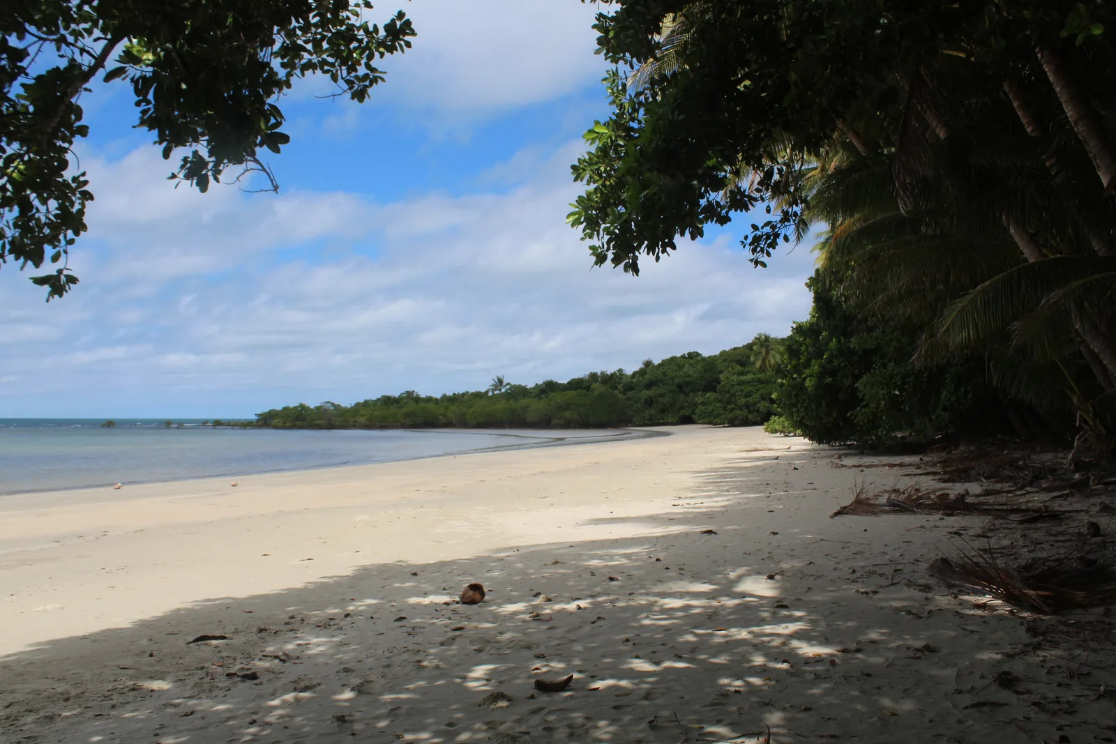
A pale sandy beach near Cape Tribulation, the sea on the left, dense rainforest with palms reaching down to the beach on the right
Photo: Mwarnes ↗ · CC BY-SA 4.0 ↗

Surroundings · Ferry, outside the park

Daintree River Ferry (south bank)

Daily 5:00 to 24:00, about 15 minutes. From here it is 30 km (19 mi) to Cape Tribulation.

Where the rainforest meets the reef.

From the ferry
35 km to Kulki
From Cairns
about 140 km
Boardwalks
Kulki, Dubuji, Madja, Jindalba
Camping
Noah Beach

Own page

Cape Tribulation

Where the rainforest reaches the sand – at the end of a road beyond a ferry.

Ferry & walks

Fees: the park is free, the shuttle and ferry cost

Ferry: A$57 return

According to Douglas Shire Council's 2026/27 fee schedule, the Daintree ferry costs A$35 one way and A$57 return for a car or ute, and A$7 one way and A$8 return on foot or by bike. Tickets are valid until 30 June.

Douglas Shire Council: Daintree Ferry fees 2026/27 (PDF) ↗

Getting there: 80 kilometres from Cairns to Mossman Gorge

Ferry across the Daintree River

From Mossman it is 30 km north to the ferry. It runs daily from 5:00 to 24:00, including Christmas; the crossing takes about 15 minutes. In peak season there can be a long queue.

Daintree Ferry (operated by Birdon for Douglas Shire Council): Frequently asked questions ↗

Guided from here · Ad

Partner links: we may earn a commission if you book – at no extra cost to you. Thank you for supporting the atlas. Dates and prices with the provider.

Open in OpenStreetMap ↗Location source ↗

-16.26088, 145.39764

At the Walu Wugirriga lookout in Daintree National Park: tree ferns and rainforest in the foreground, the mouth of the Daintree River and the sea behind, an information board on the right
Photo: Steve Fitzgerald ↗ · CC BY-SA 4.0 ↗

Viewpoint · Lookout

Walu Wugirriga (Mount Alexandra Lookout)

View over the mouth of the Daintree River, Snapper Island and the Low Isles.

The first view across two World Heritage Areas.

From the ferry
10 km to the turn-off
Access
Car park wheelchair-accessible
View
River mouth, Snapper Island, Low Isles

Own page

Cape Tribulation

Where the rainforest reaches the sand – at the end of a road beyond a ferry.

Ferry & walks

Activities: gorge, boardwalks and rainforest on the beach

Walu Wugirriga

The lookout on Mount Alexandra, a short way past the ferry, shows the mouth of the Daintree River, Snapper Island and the Low Isles.

QPWS: Walu Wugirriga (Mount Alexandra Lookout) ↗

Open in OpenStreetMap ↗Location source ↗

-16.24586, 145.43604

Trails · Boardwalk through lowland rainforest

Jindalba Boardwalk

650 m return, about 45 minutes; plus a 3-kilometre loop.

Own page

Cape Tribulation

Where the rainforest reaches the sand – at the end of a road beyond a ferry.

Ferry & walks

Open in OpenStreetMap ↗Location source ↗

-16.23881, 145.43287

Trails · Boardwalk from rainforest into mangroves

Madja Boardwalk

1.2 km loop, about 45 minutes.

Own page

Cape Tribulation

Where the rainforest reaches the sand – at the end of a road beyond a ferry.

Ferry & walks

Open in OpenStreetMap ↗Location source ↗

-16.13997, 145.43830

Trails · Boardwalk to Myall Beach

Dubuji Boardwalk

Rainforest, mangroves and beach; with luck a cassowary.

Own page

Cape Tribulation

Where the rainforest reaches the sand – at the end of a road beyond a ferry.

Ferry & walks

Activities: gorge, boardwalks and rainforest on the beach

Boardwalks at Cape Tribulation

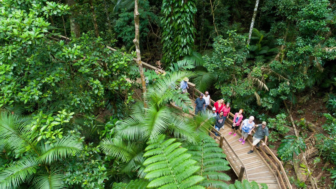
Jindalba, Madja, Dubuji and Kulki: four short boardwalks of 600 metres to 1.2 kilometres, through lowland rainforest and mangroves to the beach.

QPWS: Walks in the park ↗

Open in OpenStreetMap ↗Location source ↗

-16.09360, 145.46332

Viewpoint · Lookout at the cape

Kulki Lookout

The view where the rainforest meets the reef. Boardwalk 600 m return.

Own page

Cape Tribulation

Where the rainforest reaches the sand – at the end of a road beyond a ferry.

Ferry & walks

Open in OpenStreetMap ↗Location source ↗

-16.07659, 145.47214

Viewpoint · Lookout at 680 metres

Mount Sorrow Lookout

End of the steep 7-kilometre Mount Sorrow Ridge Trail. Turn back before 14:00.

Own page

Cape Tribulation

Where the rainforest reaches the sand – at the end of a road beyond a ferry.

Ferry & walks

Activities: gorge, boardwalks and rainforest on the beach

Mount Sorrow: 7 kilometres, 6 hours

A steep track up to 680 m, only for experienced, fit walkers. Set off before 10:00 and turn back at the lookout by 14:00 at the latest.

QPWS: Mount Sorrow Ridge Trail ↗

Open in OpenStreetMap ↗Location source ↗

-16.07662, 145.44028

Viewpoint · View of Mount Demi

Manjal Dimbi Lookout

Small lookout about 80 m beyond the bridge.

Own page

Mossman Gorge

Clear water over granite boulders, rainforest above – and a shuttle as the only easy way in.

Shuttle & walks

Open in OpenStreetMap ↗Location source ↗

-16.46910, 145.32795

Locations verified from the linked original sources and OpenStreetMap. The map shows no trails or park boundaries; markers do not imply that access is permitted.

Map: © OpenStreetMap contributors, OpenMapTiles, OpenFreeMap. Elevation: Terrain Tiles (Mapzen, AWS Open Data); 3DEP, GMTED2010 and SRTM courtesy of the U.S. Geological Survey; EU-DEM (Copernicus, European Union); ETOPO1 (NOAA); ArcticDEM (NSF, DigitalGlobe); Geoscience Australia; Open Data Austria (DGM); Open Government Licence – Canada; INEGI; Land Information New Zealand; Kartverket; Environment Agency (UK).

Park photo: Photo: Steve Fitzgerald ↗ · CC BY-SA 4.0 ↗

Loading map …