

Cape Tribulation: rainforest meets reef
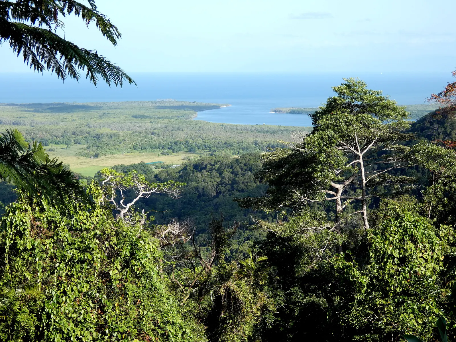
The northern section of Daintree National Park, beyond the Daintree River.
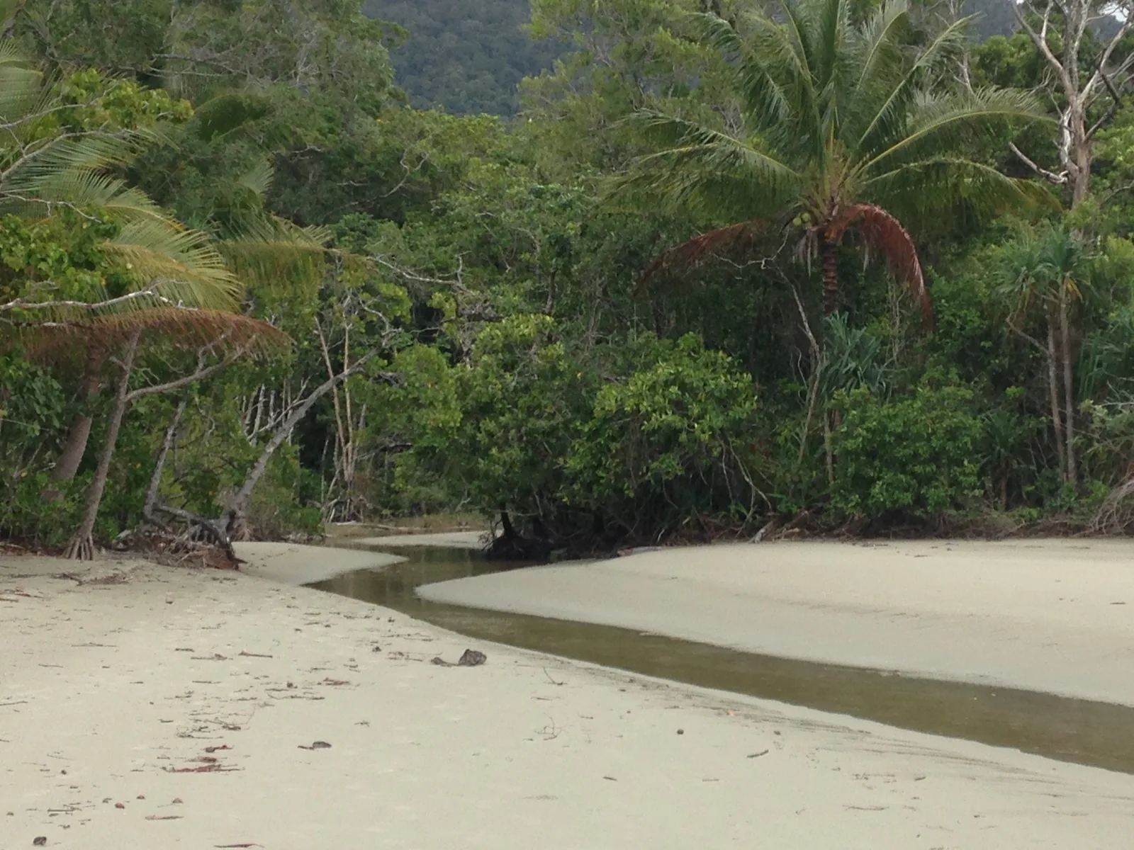
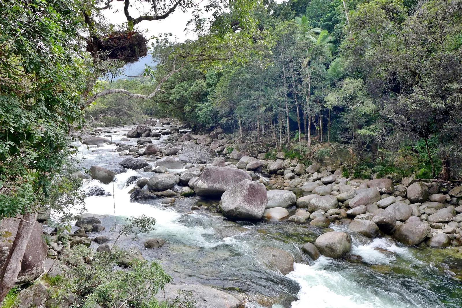
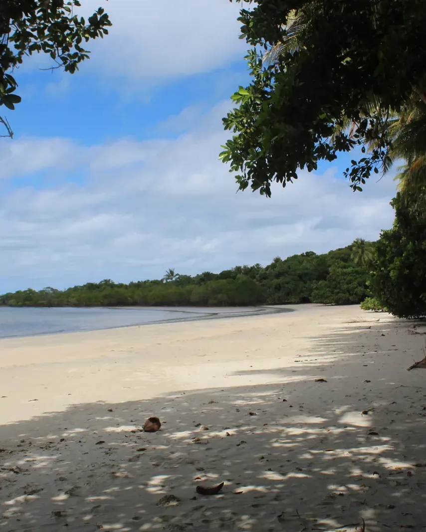
According to the park authority, the Cape Tribulation section of Daintree National Park covers about 17,000 hectares: long sandy beaches, rocky headlands and steep mountain ranges with one of the last large lowland rainforests in Australia. It runs as a narrow strip from the Daintree River to the Bloomfield River.
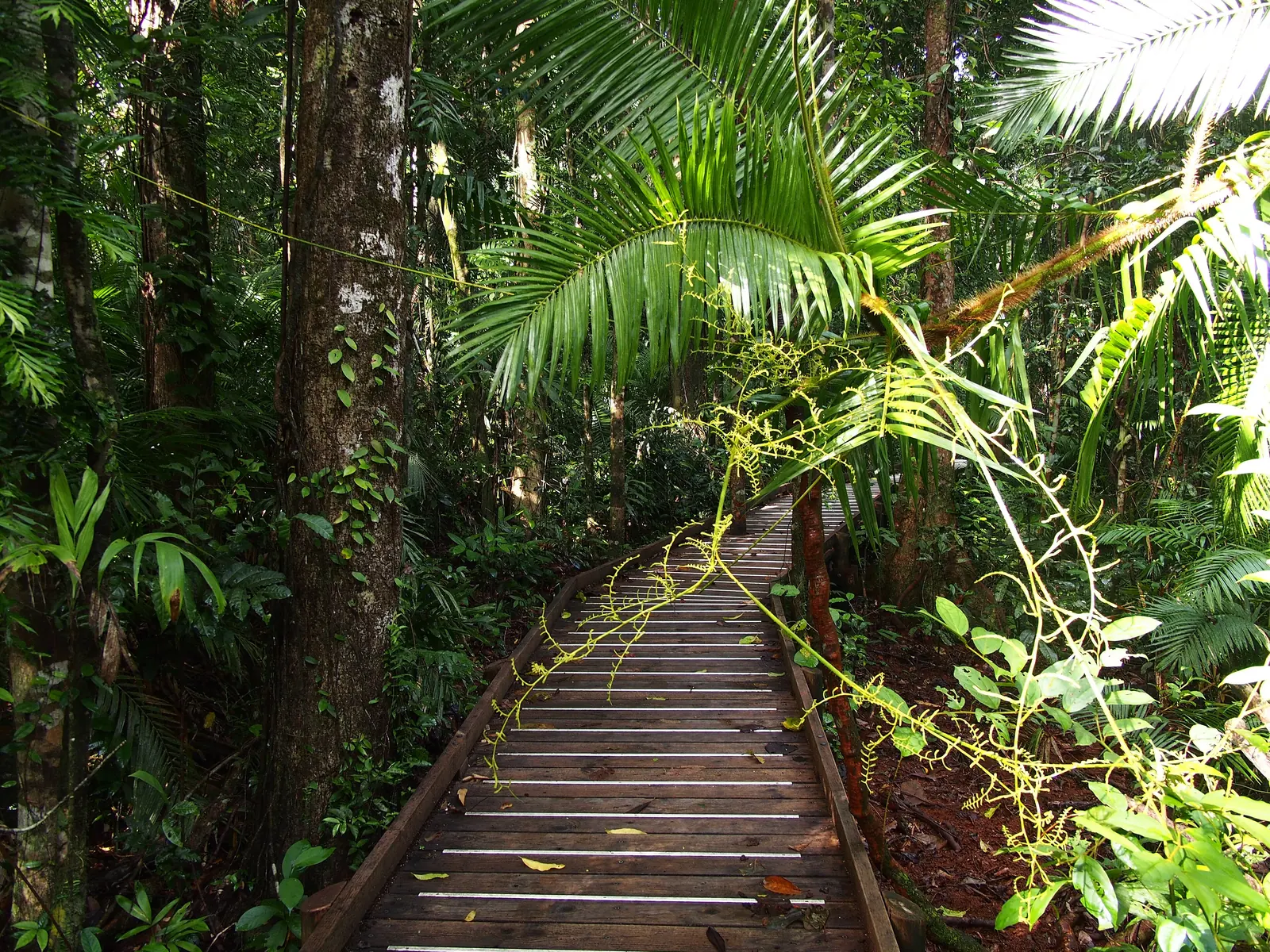
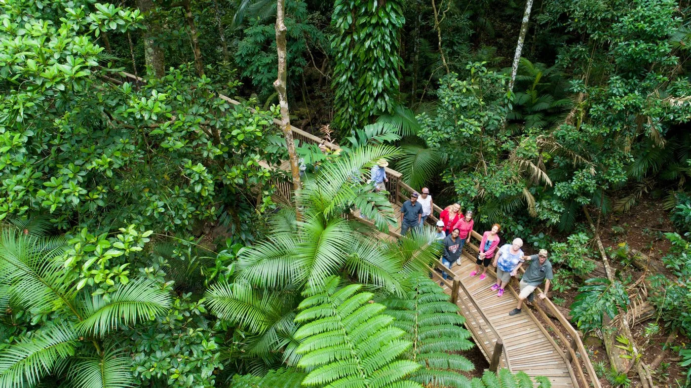
Getting there means crossing the Daintree River by ferry, then driving north on a narrow, winding road. At the cape itself the Kulki boardwalk leads to a lookout over the beach and the sea.
Captain Cook gave the cape its name in 1770 after the Endeavour ran onto a reef off the coast: “here began all our troubles”.
QPWS: About the park (area, management, establishment) ↗
In numbers
- Area of the Cape Tribulation section
- about 17,000 ha
- From Cairns
- about 140 km
- From the ferry to Kulki
- 35 km
- Ferry, car
- A$35 one way, A$57 return
- Ferry on foot or by bike
- A$7 one way
- Ferry
- daily 5:00–24:00
- Kulki boardwalk
- 600 m, 10 minutes
- Mount Sorrow
- 7 km, 6 hours, 680 m