All places Photo: HutheMeow ↗ · CC BY-SA 4.0 ↗
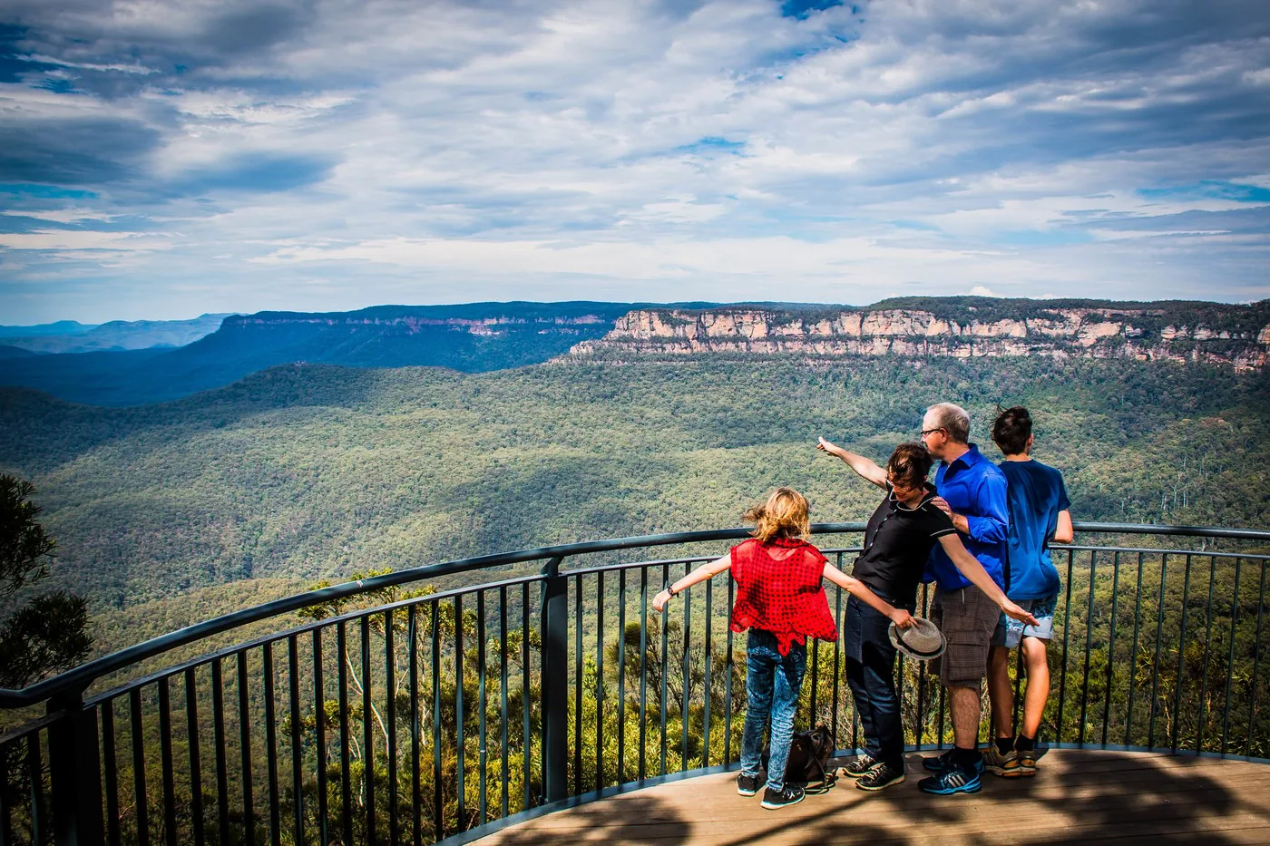
Echo Point Lookout The classic view of the Three Sisters. With the council visitor centre, daily 9:00 to 16:00.
Own page
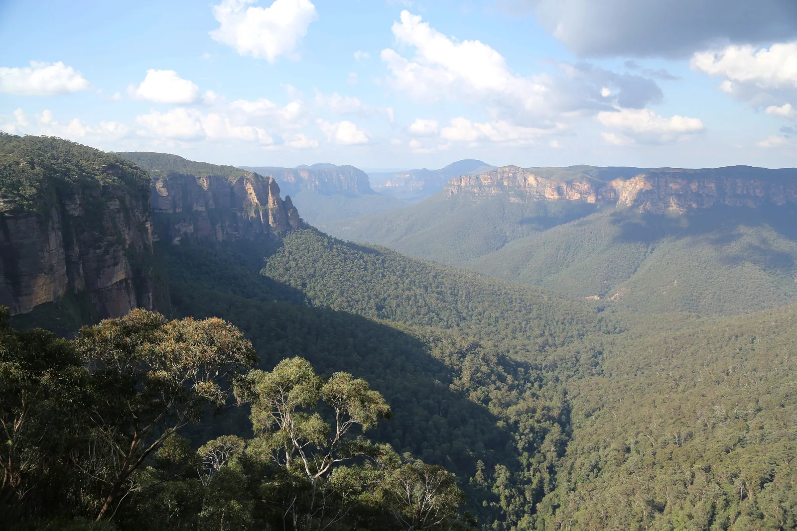
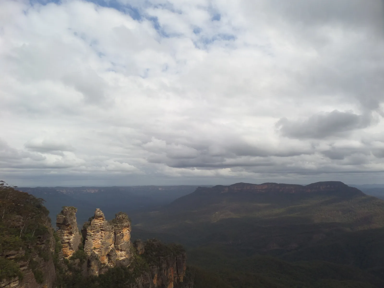
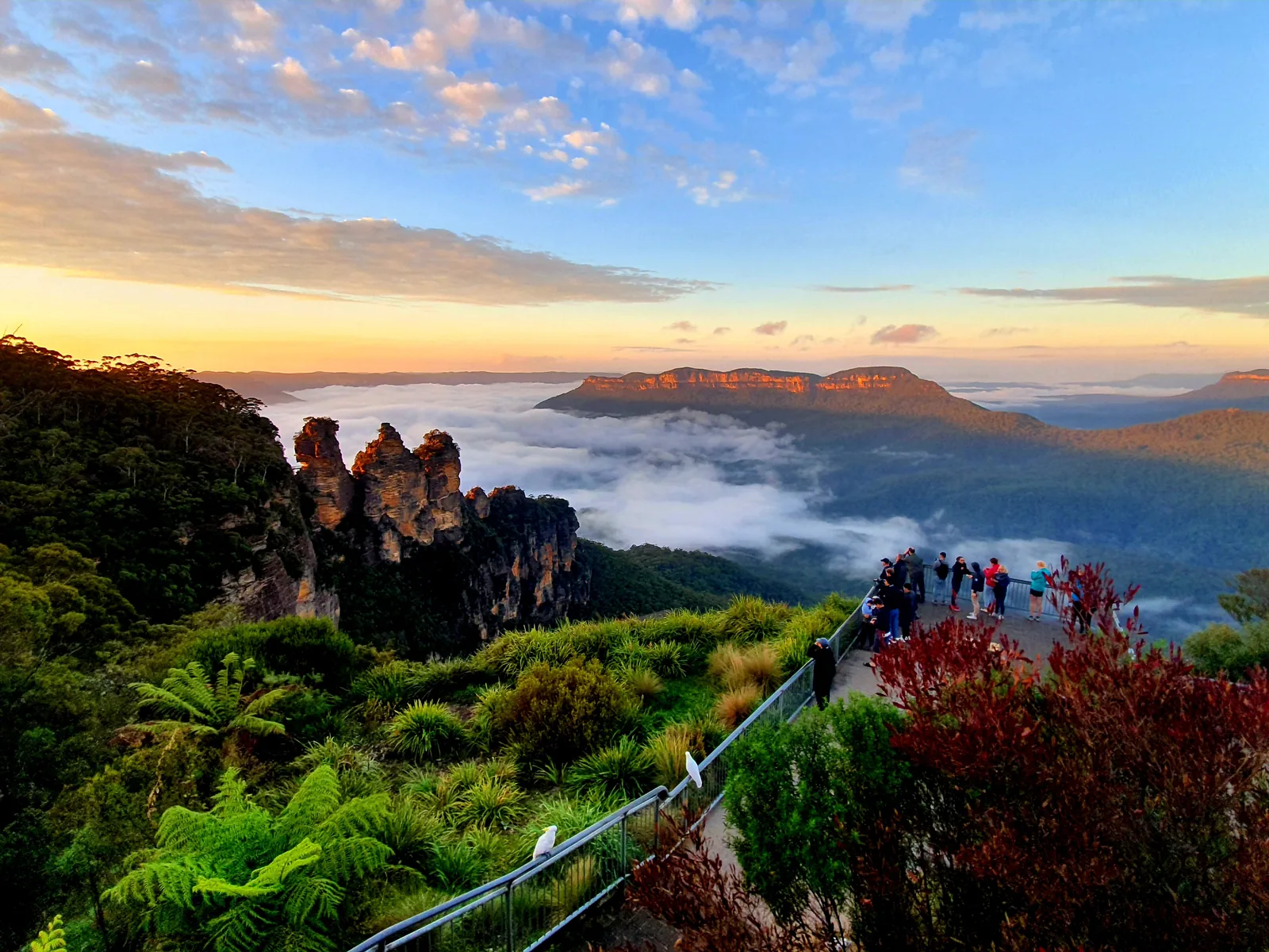
Three Sisters Three sandstone towers above the Jamison Valley – an Aboriginal Place, seen from the edge of the plateau.
Walk & getting there
Guided from here · Ad
Partner links: we may earn a commission if you book – at no extra cost to you. Thank you for supporting the atlas. Dates and prices with the provider.
Add to your Blue Mountains National Park visit Open in OpenStreetMap ↗ Location source ↗
-33.73272, 150.31202
All places Photo: Abracadebra68 ↗ · CC BY-SA 4.0 ↗
Three Sisters The Three Sisters Walk takes you close in 25 to 45 minutes. The Honeymoon Bridge is currently closed.
The most famous view in the Blue Mountains – from a platform just outside the park.
Three Sisters Walk 0.8 km, 25–45 minutes
Echo Point Council land, on the park edge
Status Aboriginal Place
Honeymoon Bridge currently closed Own page
Three Sisters Three sandstone towers above the Jamison Valley – an Aboriginal Place, seen from the edge of the plateau.
Walk & getting there
Add to your Blue Mountains National Park visit Open in OpenStreetMap ↗ Location source ↗
-33.73536, 150.31496
All places
Katoomba End point of most day trips by train, about two hours from Sydney Central.
Own page
Three Sisters Three sandstone towers above the Jamison Valley – an Aboriginal Place, seen from the edge of the plateau.
Walk & getting there
Guided from here · Ad
Partner links: we may earn a commission if you book – at no extra cost to you. Thank you for supporting the atlas. Dates and prices with the provider.
Add to your Blue Mountains National Park visit Open in OpenStreetMap ↗ Location source ↗
-33.71185, 150.31123
All places
Scenic World Railway, cableways and a boardwalk into the rainforest. Owned by the Hammon family, not part of the national park.
Own page
Three Sisters Three sandstone towers above the Jamison Valley – an Aboriginal Place, seen from the edge of the plateau.
Walk & getting there
Fees: mostly free, A$8 per car around Glenbrook
Scenic World costs extra The Scenic World railway, cableways and boardwalk are not part of the park. The Hammon family business has run them since 1945 on the site of an old coal mine on the edge of Katoomba.
Scenic World: About us (Hammon family business, since 1945) ↗
Add to your Blue Mountains National Park visit Open in OpenStreetMap ↗ Location source ↗
-33.72895, 150.30126
All places
Leura Cascades On the cliff walk between Echo Point and Leura.
Own page
Three Sisters Three sandstone towers above the Jamison Valley – an Aboriginal Place, seen from the edge of the plateau.
Walk & getting there
Add to your Blue Mountains National Park visit Open in OpenStreetMap ↗ Location source ↗
-33.72200, 150.32240
All places
Wentworth Falls Picnic Area Starting point for the National Pass and the lookouts above the falls.
Activities: cliff walks, Grand Canyon, waterfalls
Wentworth Falls: walks partly closed Part of the National Pass west of the middle crossing is closed after a major landslide, as are the Wentworth Pass and Slacks Stairs; the Valley of the Waters is closed below Sylvia Falls. The upper lookouts remain open.
NPWS: Current alerts and closures in the park (retrieved 8 October 2026) ↗
Add to your Blue Mountains National Park visit Open in OpenStreetMap ↗ Location source ↗
-33.72521, 150.36953
All places
Wentworth Falls Lookout View into the Jamison Valley and of Wentworth Falls.
Add to your Blue Mountains National Park visit Open in OpenStreetMap ↗ Location source ↗
-33.72608, 150.37202
All places
Conservation Hut From here you walk to the waterfalls in the Valley of the Waters; below Sylvia Falls the track is currently closed.
Add to your Blue Mountains National Park visit Open in OpenStreetMap ↗ Location source ↗
-33.72025, 150.36264
All places
Blue Mountains Heritage Centre Daily 9:00 to 16:00, closed on 25 December. 270 Govetts Leap Road, Blackheath.
Add to your Blue Mountains National Park visit Open in OpenStreetMap ↗ Location source ↗
-33.63059, 150.30666
All places
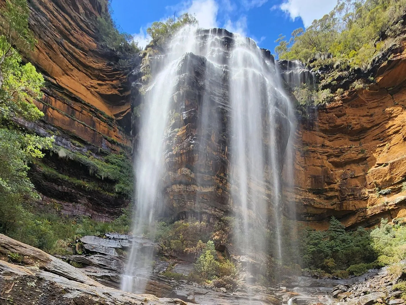
Govetts Leap Lookout With a view of Bridal Veil Falls, which drop 180 m (590 ft). Barrier-free access.
Activities: cliff walks, Grand Canyon, waterfalls
Govetts Leap and Bridal Veil Falls From the lookout near Blackheath you see Bridal Veil Falls drop 180 m (590 ft) and look out over the Grose Valley. The path is barrier-free.
NPWS: Govetts Leap Lookout ↗
Add to your Blue Mountains National Park visit Open in OpenStreetMap ↗ Location source ↗
-33.62793, 150.31152
All places
Evans Lookout Barrier-free, especially good at sunrise and sunset.
Add to your Blue Mountains National Park visit Open in OpenStreetMap ↗ Location source ↗
-33.64681, 150.32631
All places
Grand Canyon Track Three to four hours, grade 3. Never walk it during or after heavy rain.
Activities: cliff walks, Grand Canyon, waterfalls
Grand Canyon Track: 6.3 kilometres A loop of three to four hours, grade 3, through a gorge with waterfalls, ferns and rainforest. It has been walked since 1907; the way back climbs up to Evans Lookout.
NPWS: Grand Canyon Track ↗
Add to your Blue Mountains National Park visit Open in OpenStreetMap ↗ Location source ↗
-33.65848, 150.32253
All places
Perrys Lookdown A place for sunset, according to the park authority.
Add to your Blue Mountains National Park visit Open in OpenStreetMap ↗ Location source ↗
-33.59963, 150.34676
All places
Red Hands Cave Hand stencils, probably 500 to 1,600 years old. In the Glenbrook area A$8 per car per day.
Add to your Blue Mountains National Park visit Open in OpenStreetMap ↗ Location source ↗
-33.78234, 150.59103